Top 20 Natural Monuments around Münchwilen (TG)
Natural monuments around Münchwilen (TG) offer diverse natural landscapes for exploration. The region features a varied topography, including lakes, waterfalls, and elevated viewpoints. These natural attractions provide opportunities for outdoor activities and observation of local ecosystems. The area's geological history has shaped its unique natural features.
Best natural monuments around Münchwilen (TG)
- The most popular natural monuments is Giessenfall Waterfall, a waterfall accessible via a path that can be traily and potentially slippery. A steep and narrow staircase leads…
Last updated: July 10, 2026
Lake Bichel
Highlight • Lake
Translated by Google •
Tip by

Tänikon Pond
Highlight • Lake
Translated by Google •
Tip by

Sign up now to discover places like this
Get recommendations on the best single tracks, peaks, & plenty of other exciting outdoor places.
Sign up for free
Giessenfall Waterfall
Highlight • Waterfall
Translated by Google •
Tip by

Groot - Highest point in the canton of Thurgau (991.1 m)
Highlight • Summit
With the Groot (991.1 m), we head to the highest elevation in the Canton of Thurgau: literally "the Top of Mostindien." …
Translated by Google •
Tip by

Bettenauer Pond
Highlight • Lake
Translated by Google •
Tip by
Sign up for free to discover even more natural monuments around Münchwilen (TG).
Sign up for free
Already have an account?
Start today with a free account
Your next adventure awaits.
Login or Signup
Tips from the Community

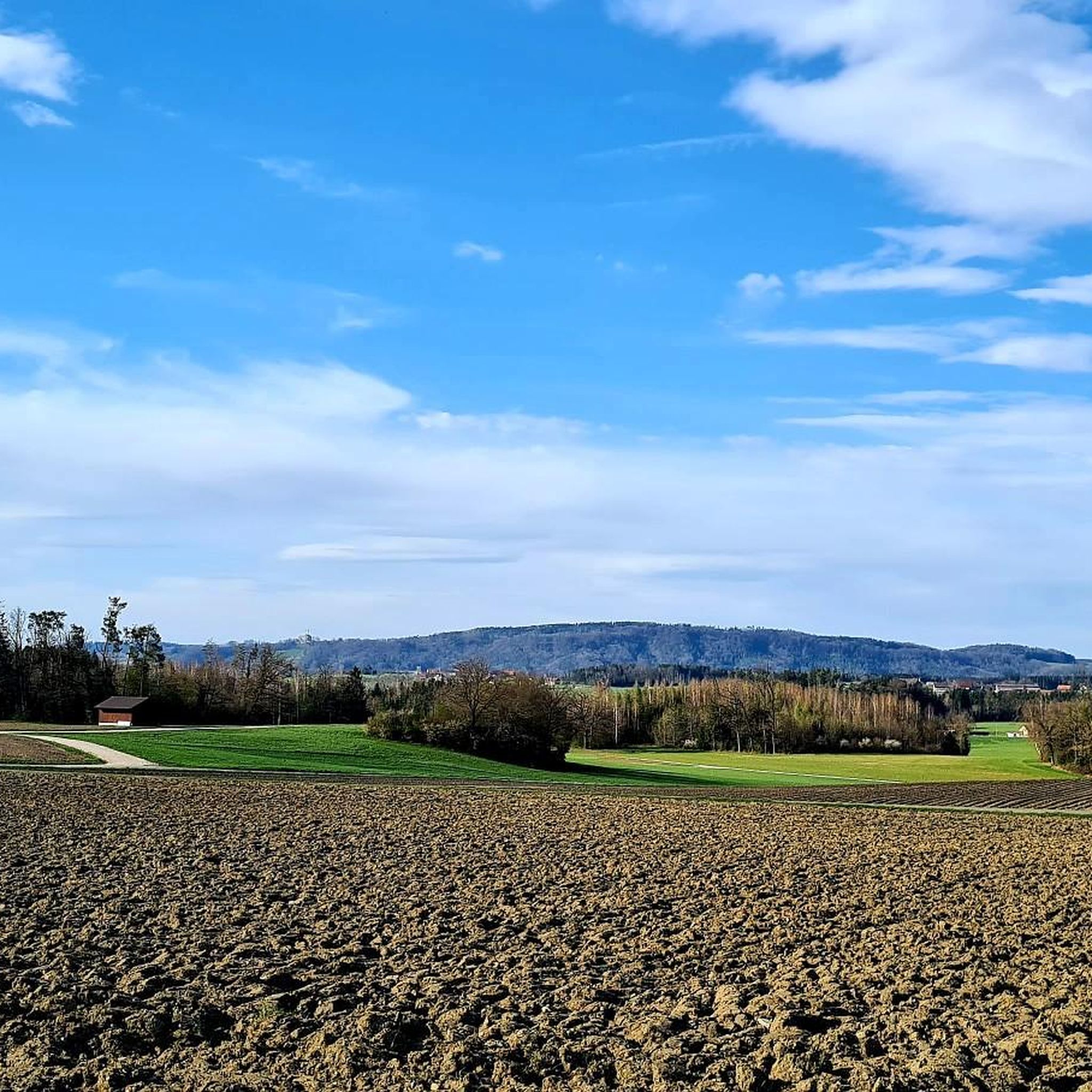
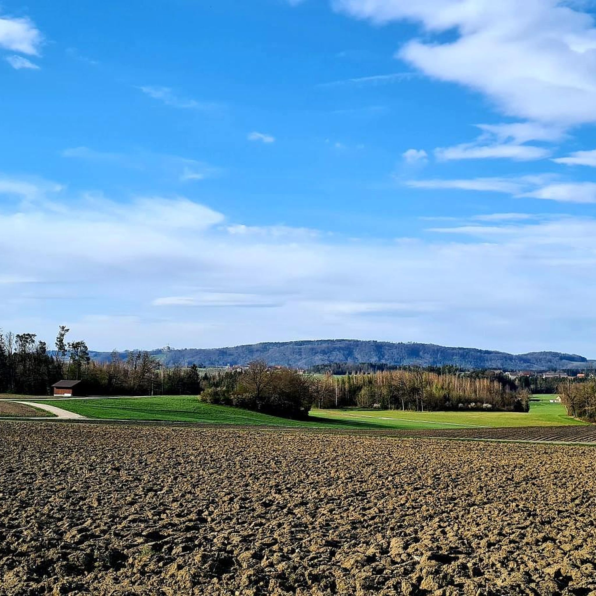
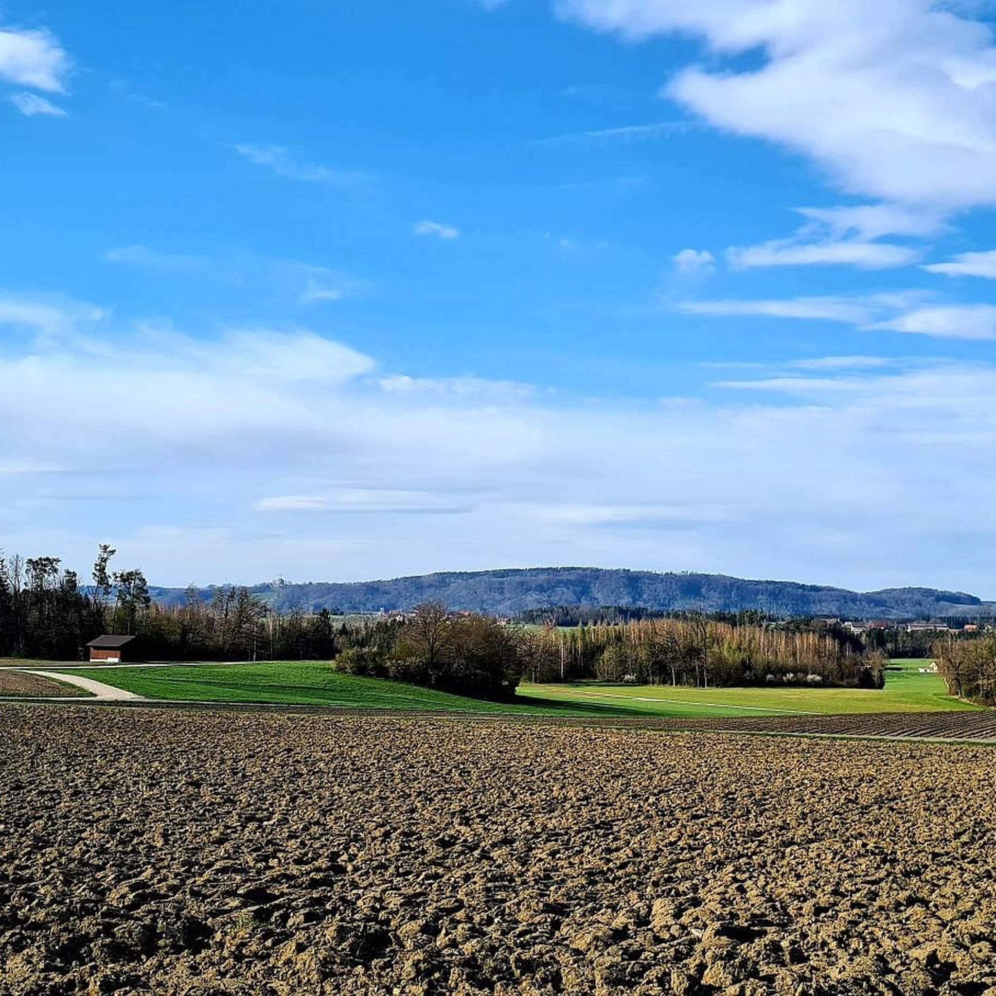
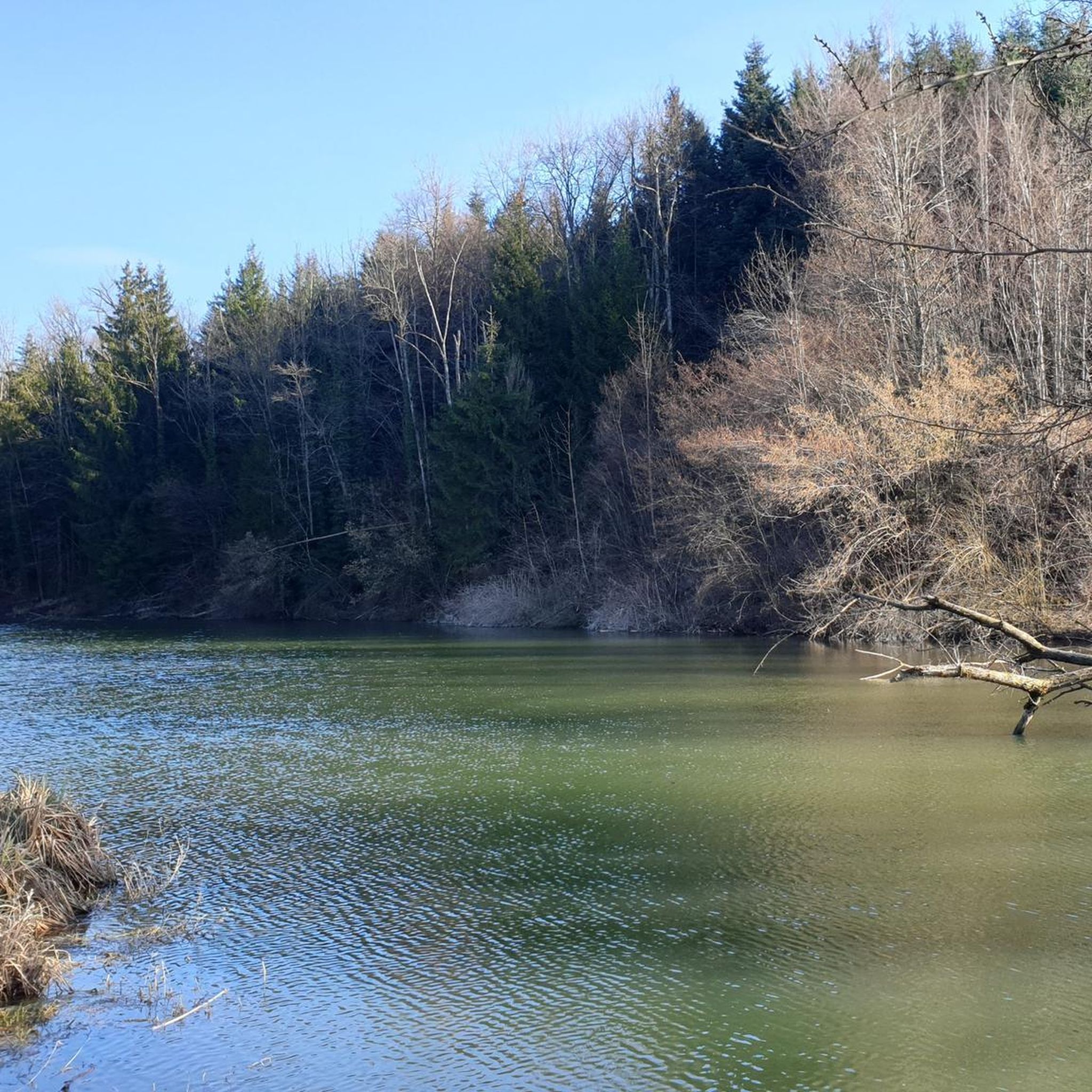
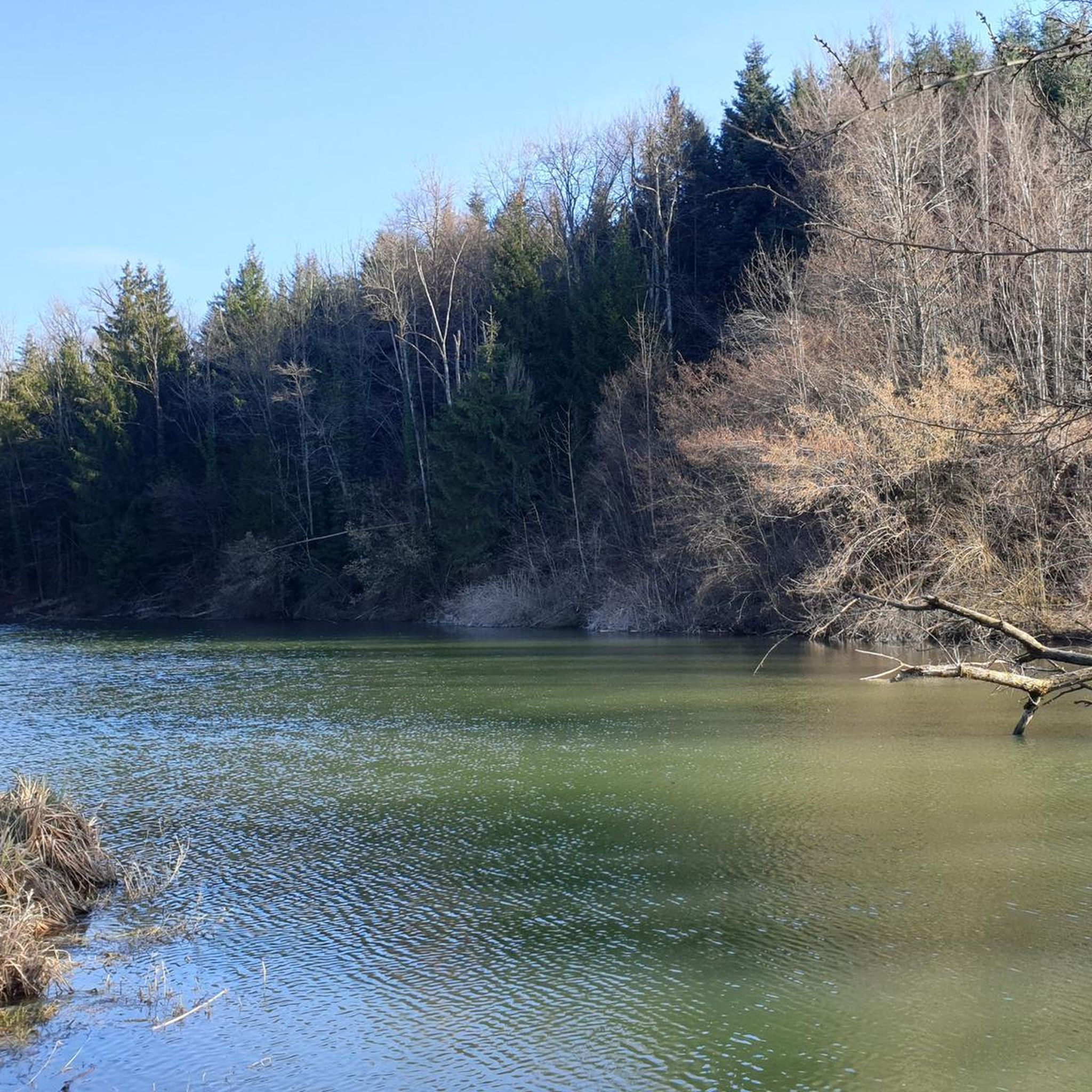
Passing west of the beautiful Bettenauer Weiher (driving is prohibited all around).
1
0

Groot - Highest Point in the Canton of Thurgau With the Groot (991.1 m), we head to the highest elevation in the Canton of Thurgau: literally "the Top of Mostindien." Interestingly, about 10 m further on lies the so-called ridge, which is also the highest point of the elevation. It rises 5 m higher than the Groot and is located entirely in Mosnang, or rather, in the Canton of St. Gallen. On this tour, we explore the idyllic Tössberg region.
15
0


The Bettenauer Weiher lies in a depression between Wildberg and Uzwil, entirely within the municipality of Oberuzwil, in the Toggenburg region in the Swiss Alpine foothills. The pond's bottom consists of peat soil. The pond includes the smaller peat ponds to the east. The Bettenauer Weiher was originally a moor pond, the origin of which can ultimately be traced back to the formation of a depression between the Wildberg and Vogelsberg mountains during the Würm glaciation, when the entire Toggenburg region was covered by the Rhine glacier. The area around the Bettenauer Weiher is a fen of regional importance. It is part of an amphibian spawning area of national importance. For this reason, the pond has had an amphibian guide structure, a protected road underpass, since 1993. [Source: Wikipedia]
0
0

From here you have a great view of the Säntis... fantastic with distant views...
2
0

Idyllic pond near Tänikon Monastery. Several rest areas with benches.
1
0
The canton Thurgau/St. Gallen is about 3 m away and 2 m lower than the Groot vantage point, which is already in the canton of St.Gallen. Well, bad luck 🤨
3
0
Frequently Asked Questions
What natural features can I explore around Münchwilen (TG)?
The region offers a variety of natural features, including serene lakes, impressive waterfalls, and elevated viewpoints. You can discover unique ecosystems like the Hudelmoos Nature Reserve, a high moor shaped by glaciers, or experience the power of water at the Giessenfall Waterfall.
Are there family-friendly natural attractions in Münchwilen (TG)?
Yes, several natural monuments are suitable for families. Lake Bichel is a popular bathing spot in summer and offers a tranquil setting for walks in winter. The Nollen viewpoint is also family-friendly, providing magnificent panoramic views.
Where can I find impressive waterfalls in the area?
The Giessenfall Waterfall is a notable natural monument in the region. It features a path that can be traily and potentially slippery, with a steep staircase leading along the side of the waterfall to its upper level. Another option is the Hutziker Tobel Waterfalls, which offer a pleasant hiking trail following a stream with stairs.
What are the best places for panoramic views around Münchwilen (TG)?
For breathtaking panoramic views, head to the Nollen. This hill offers magnificent vistas of Lake Constance, the Thur Valley, the Hegau, the Säntis, and the Churfirsten. Another high point is Groot, which is the highest point in the Canton of Thurgau.
What kind of outdoor activities can I do near these natural monuments?
The region around Münchwilen (TG) is excellent for various outdoor activities. You can find numerous routes for cycling, mountain biking, and road cycling. For detailed routes and guides, explore the Cycling around Münchwilen (TG), MTB Trails around Münchwilen (TG), and Road Cycling Routes around Münchwilen (TG) guides.
Are there any unique natural reserves to visit?
Yes, the Hudelmoos Nature Reserve near Münchwilen is a unique high moor landscape. It's a biodiversity hotspot, home to a wide array of species including birds, butterflies, dragonflies, and various plants. This moraine landscape offers a chance to experience a distinct ecosystem shaped by glaciers.
What is the best time to visit the natural monuments around Münchwilen (TG)?
The best time to visit depends on your preferred activities. Summer is ideal for swimming at Lake Bichel, while the cooler months offer tranquil settings for walks. Waterfalls like Giessenfall are impressive year-round, though paths can be slippery when wet. The Hudelmoos Nature Reserve is particularly vibrant in spring and summer with its diverse flora and fauna.
Are there any natural monuments suitable for walks or gentle hikes?
Absolutely. The area around Bettenauer Pond is a popular local recreation area perfect for a pleasant walk. The Hutziker Tobel Waterfalls also feature a pleasant hiking trail that follows a stream, incorporating stairs along the route, making it an appealing destination for hikers.
What are the difficulty levels for trails near the natural monuments?
Hiking difficulties vary. The path to the Giessenfall Waterfall can be traily and potentially slippery, involving a steep and narrow staircase, making it intermediate to challenging. Other areas, like the walks around Bettenauer Pond, are generally easier and suitable for leisurely strolls.
Can I find places to eat or drink near the natural monuments?
Yes, some natural monuments have amenities nearby. For instance, the Nollen viewpoint includes a restaurant, making it a convenient stop for refreshments. Additionally, Lake Bichel has a small kiosk available, especially during the summer bathing season.
Are there opportunities for wildlife spotting?
The Hudelmoos Nature Reserve is an excellent location for wildlife spotting due to its rich biodiversity. It's home to a wide array of species, including various birds, butterflies, and dragonflies, making it a prime spot for nature observation.
Most popular routes around Münchwilen (TG)
Most popular attractions around Münchwilen (TG)

Get inspired with the komoot mobile app


Explore more
Extend your search for the best caves by checking out these guides of the top ones around Münchwilen (TG):
