Top 20 Natural Monuments around Eschlikon
Best natural monuments around Eschlikon include a variety of natural areas and landscapes in the canton of Thurgau, Switzerland. The region is characterized by meadows, forests, and tranquil natural spaces, offering ecological value and scenic beauty. These areas provide opportunities for nature observation and recreation, contributing to the local biodiversity. The natural features around Eschlikon are well-suited for outdoor enthusiasts seeking peaceful environments.
Best natural monuments around Eschlikon
- The most popular natural monuments is Giessenfall Waterfall, a waterfall that…
Last updated: October 13, 2026
Lake Bichel
Highlight • Lake
Translated by Google •
Tip by

Tänikon Pond
Highlight • Lake
Translated by Google •
Tip by

Sign up now to discover places like this
Get recommendations on the best single tracks, peaks, & plenty of other exciting outdoor places.
Giessenfall Waterfall
Highlight • Waterfall
Translated by Google •
Tip by

Groot - Highest point in the canton of Thurgau (991.1 m)
Highlight • Summit
With the Groot (991.1 m), we head to the highest elevation in the Canton of Thurgau: literally "the Top of Mostindien." …
Translated by Google •
Tip by

Bettenauer Pond
Highlight • Lake
Translated by Google •
Tip by
Sign up for free to discover even more natural monuments around Eschlikon.
Already have an account?
Start today with a free account
Your next adventure awaits.
Tips from the Community

Passing west of the beautiful Bettenauer Weiher (driving is prohibited all around).
1
0

Groot - Highest Point in the Canton of Thurgau With the Groot (991.1 m), we head to the highest elevation in the Canton of Thurgau: literally "the Top of Mostindien." Interestingly, about 10 m further on lies the so-called ridge, which is also the highest point of the elevation. It rises 5 m higher than the Groot and is located entirely in Mosnang, or rather, in the Canton of St. Gallen. On this tour, we explore the idyllic Tössberg region.
16
0


The Bettenauer Weiher lies in a depression between Wildberg and Uzwil, entirely within the municipality of Oberuzwil, in the Toggenburg region in the Swiss Alpine foothills. The pond's bottom consists of peat soil. The pond includes the smaller peat ponds to the east. The Bettenauer Weiher was originally a moor pond, the origin of which can ultimately be traced back to the formation of a depression between the Wildberg and Vogelsberg mountains during the Würm glaciation, when the entire Toggenburg region was covered by the Rhine glacier. The area around the Bettenauer Weiher is a fen of regional importance. It is part of an amphibian spawning area of national importance. For this reason, the pond has had an amphibian guide structure, a protected road underpass, since 1993. [Source: Wikipedia]
0
0

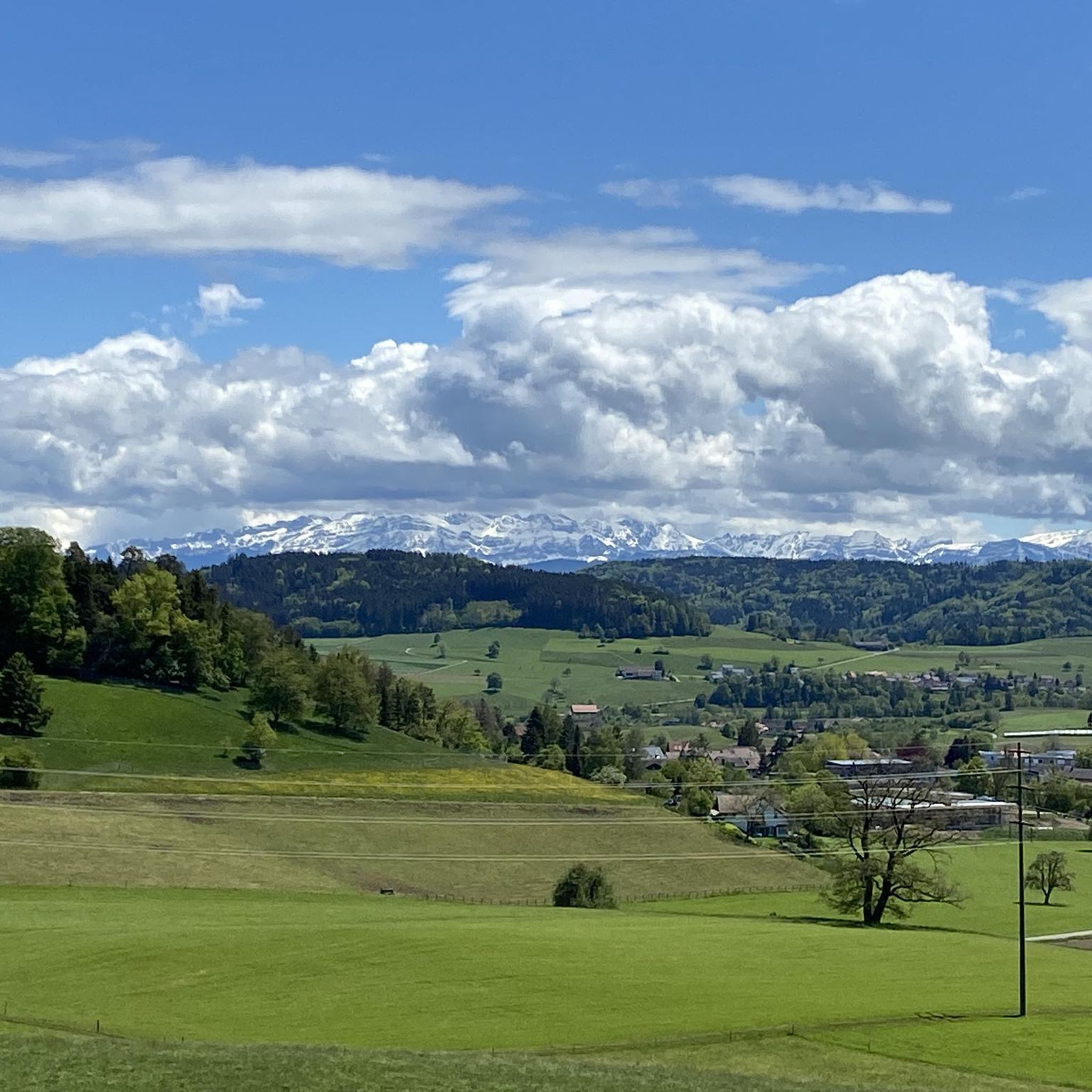
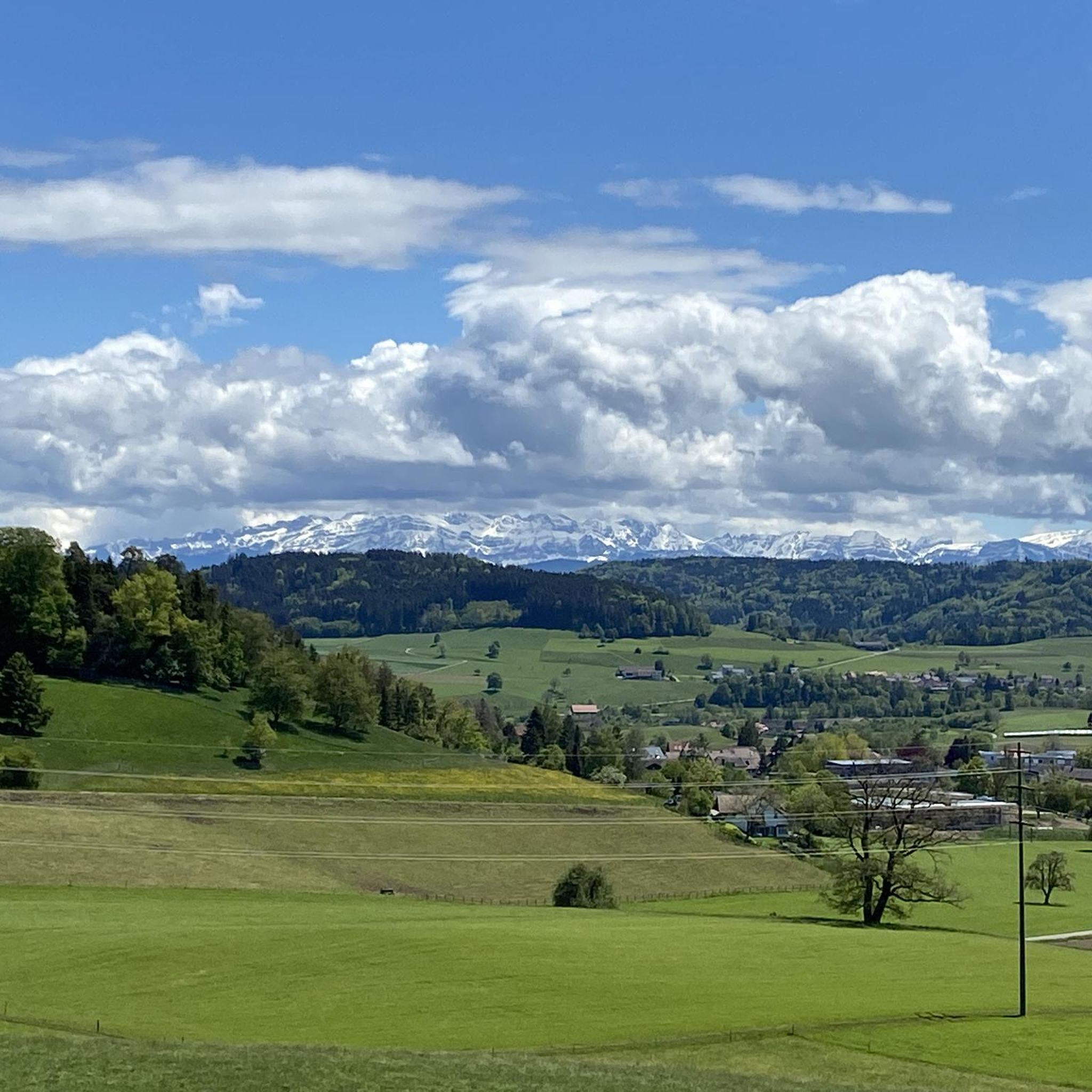
From here you have a great view of the Säntis... fantastic with distant views...
2
0

Idyllic pond near Tänikon Monastery. Several rest areas with benches.
1
0
The canton Thurgau/St. Gallen is about 3 m away and 2 m lower than the Groot vantage point, which is already in the canton of St.Gallen. Well, bad luck 🤨
3
0
Frequently Asked Questions
What types of natural features can I explore around Eschlikon?
Around Eschlikon, you can explore a variety of natural features including impressive waterfalls like the Giessenfall Waterfall, serene lakes such as Lake Bichel, and the highest elevation in the Canton of Thurgau, Groot. The region is also characterized by extensive meadows and forests, offering tranquil natural spaces.
Are there family-friendly natural monuments around Eschlikon?
Yes, several natural monuments are suitable for families. Lake Bichel is known as a bathing lake in summer and offers peaceful surroundings. The Giessenfall Waterfall also has a small bathing area at its base, perfect for humans and dogs, and a picnic area nearby. Additionally, the Bettenauer Pond is a popular local recreation area ideal for walks.
What outdoor activities can I do near these natural monuments?
The natural monuments around Eschlikon are excellent starting points for various outdoor activities. You can find numerous hiking trails, such as the 'Landsberg Ruins – Krillberg Forest Trails loop' or the 'Ziegeleiweiher – Murg River Landscape loop'. For cyclists, there are gravel biking routes like the 'Thur River Trail – Along the Thur River loop'. Runners can enjoy trails like the 'S0 singletrack along the Murg'. You can explore more options on the Hiking around Eschlikon, Gravel biking around Eschlikon, and Running Trails around Eschlikon guide pages.
What makes the Giessenfall Waterfall a unique natural monument?
The Giessenfall Waterfall is notable for its impressive 40-meter drop, which is significant for the region. The path to it involves a rather steep and narrow staircase, offering picturesque views of the fall and a small pond. There's also a picnic area with tables, benches, and a fireplace just above the waterfall, making it a great spot for a break.
Can I swim in the lakes near Eschlikon?
Yes, Lake Bichel is known as a bathing lake during the summer months, offering a refreshing experience. However, other lakes like Farenbachweiher are generally not suitable for swimming but provide calm, idyllic settings for walks.
What is the highest point in the Canton of Thurgau and how can I visit it?
The highest elevation in the Canton of Thurgau is Groot, standing at 991.1 meters. Visiting Groot allows you to explore the idyllic Tössberg region. While the absolute highest point (a ridge 10m further) is technically in the Canton of St. Gallen, Groot itself offers a rewarding experience and panoramic views.
Are there any nature reserves or ecologically significant areas near Eschlikon?
Yes, the **Naturschutzgebiet Altholzinsel Josafatstal** (Josafatstal Nature Reserve) is a prominent example. This area features a 'wild path' and is characterized by ecologically valuable old-growth forest stands. These 'old wood islands' are crucial for biodiversity, providing habitat for numerous animal species and connecting larger forest and riparian protection areas. Bracken ferns can grow very tall here in summer, adding to its wild character.
What do visitors enjoy most about the natural monuments around Eschlikon?
Visitors frequently appreciate the tranquil atmosphere and natural beauty. For instance, Lake Bichel is loved for its peaceful nature, especially in winter, and its marked bike paths. The Giessenfall Waterfall is praised for its impressive appearance and the scenic forest paths leading to it. The overall appeal lies in the diverse opportunities for outdoor exploration and nature observation.
Are the trails around Eschlikon's natural monuments dog-friendly?
Many natural areas and trails around Eschlikon are suitable for dogs. For example, the Giessenfall Waterfall has a small bathing area at its base that is welcoming for dogs. When exploring, it's always advisable to keep dogs on a leash, especially in nature reserves or near wildlife, and to respect local signage.
What is the best time to visit the natural monuments around Eschlikon?
The best time to visit depends on your preferred activities. Summer is ideal for swimming at Lake Bichel and enjoying the lush greenery of the forests, including the tall bracken ferns in areas like Josafatstal. The spring and autumn months offer pleasant temperatures for hiking and cycling, with beautiful seasonal colors. Even in winter, the natural areas provide a peaceful and undisturbed experience.
Are there any other notable lakes or ponds for a quiet walk?
Beyond Lake Bichel, you can also visit the Bettenauer Pond, a popular local recreation area in the municipality of Oberuzwil, known for beautiful walks. Another idyllic spot is Farenbachweiher, a calm pond nestled in the Fahrenbachtobel, which also features an older Kneipp facility nearby.
Most popular routes around Eschlikon
Most popular attractions around Eschlikon

Get inspired with the komoot mobile app


Explore more
Extend your search for the best caves by checking out these guides of the top ones around Eschlikon:
