Top 20 Bike Parks around Kaltbrunn
Best bike parks around Kaltbrunn are found within a region known for its diverse natural terrain and scenic routes. Kaltbrunn serves as a starting point for mountain biking trails that emphasize natural features over constructed park elements. The area offers a range of experiences for various skill levels, from forested paths to open routes with significant elevation changes. These trails provide an immersive experience of the Swiss landscape.
Best bike parks around Kaltbrunn
- The most popular bike parks is Schwämmli Alp Trails, a trail that offers a scenic and mobile alternative between Schwämmli and Ober Älpli. It is known for its good coffee stops and pleasant routes.
- Another must-see spot is Oberbächen–Stotzweid–Chübodenegg Trail, an intermediate trail with forest and viewpoint sections. Visitors can expect some challenging ramps and potentially muddy conditions, offering a fun ride.
- Visitors also love Seewald Trail, an mtb_park with challenging sections near a lake and forest. This trail features a hearty downhill drive to the marina Nuolen and has undergone recent redesigns.
- Kaltbrunn is known for natural trails, challenging mountain bike routes, and intermediate forest paths. The area offers a variety of bike parks to see and explore, catering to different skill levels and preferences.
- The bike parks around Kaltbrunn are appreciated by the komoot community, with over 80 upvotes and more than 110 photos shared across the highlights.
Last updated: July 10, 2026
Schwämmli Alp Trails
Highlight • Trail
Translated by Google •
Tip by

Rossweidhöchi Trail
Highlight (Segment) • Trail
Translated by Google •
Tip by

Sign up now to discover places like this
Get recommendations on the best single tracks, peaks, & plenty of other exciting outdoor places.
Sign up for free
Cellotrail Buchberg
Highlight (Segment) • Trail
Translated by Google •
Tip by

Oberbächen–Stotzweid–Chübodenegg Trail
Highlight (Segment) • Trail
Translated by Google •
Tip by
Seewald Trail
Highlight • MTB Park
Translated by Google •
Tip by

Sign up for free to discover even more bike parks around Kaltbrunn.
Sign up for free
Already have an account?
Start today with a free account
Your next adventure awaits.
Login or Signup
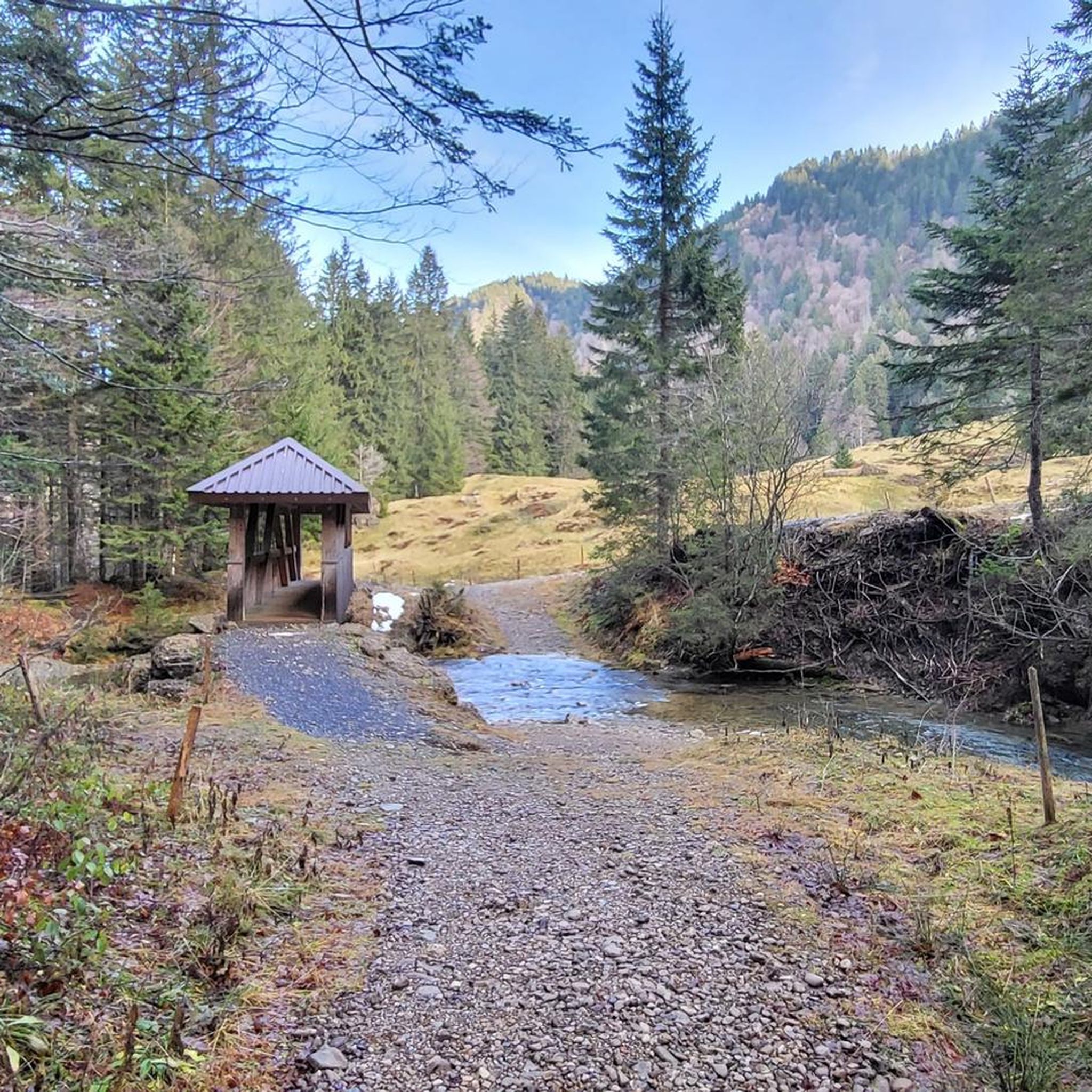
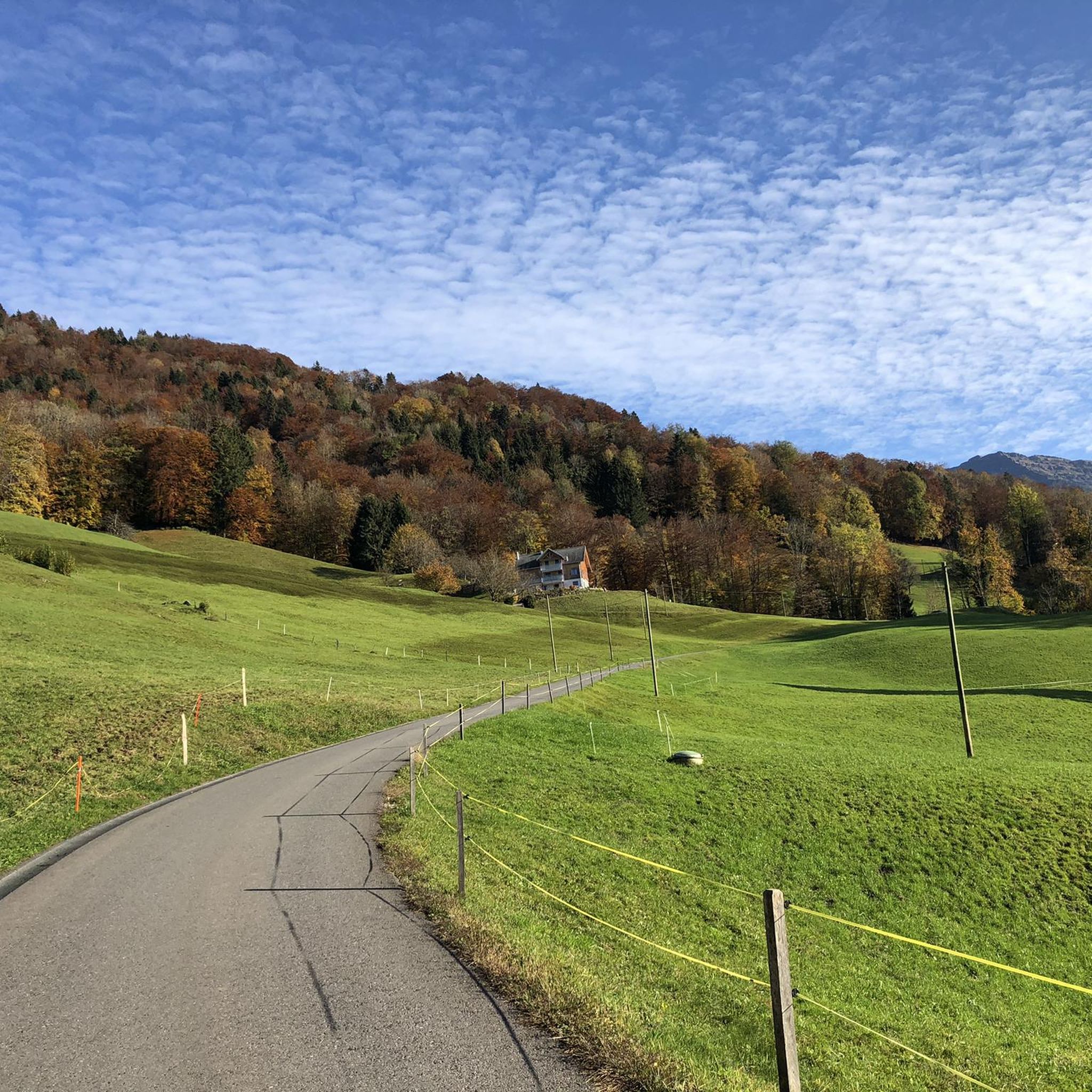
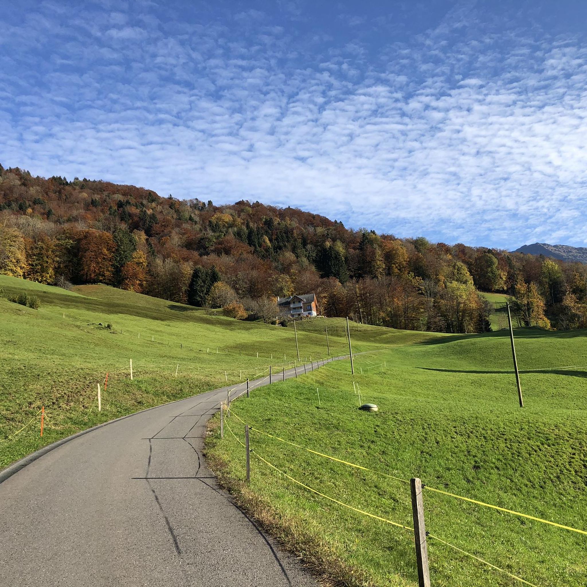
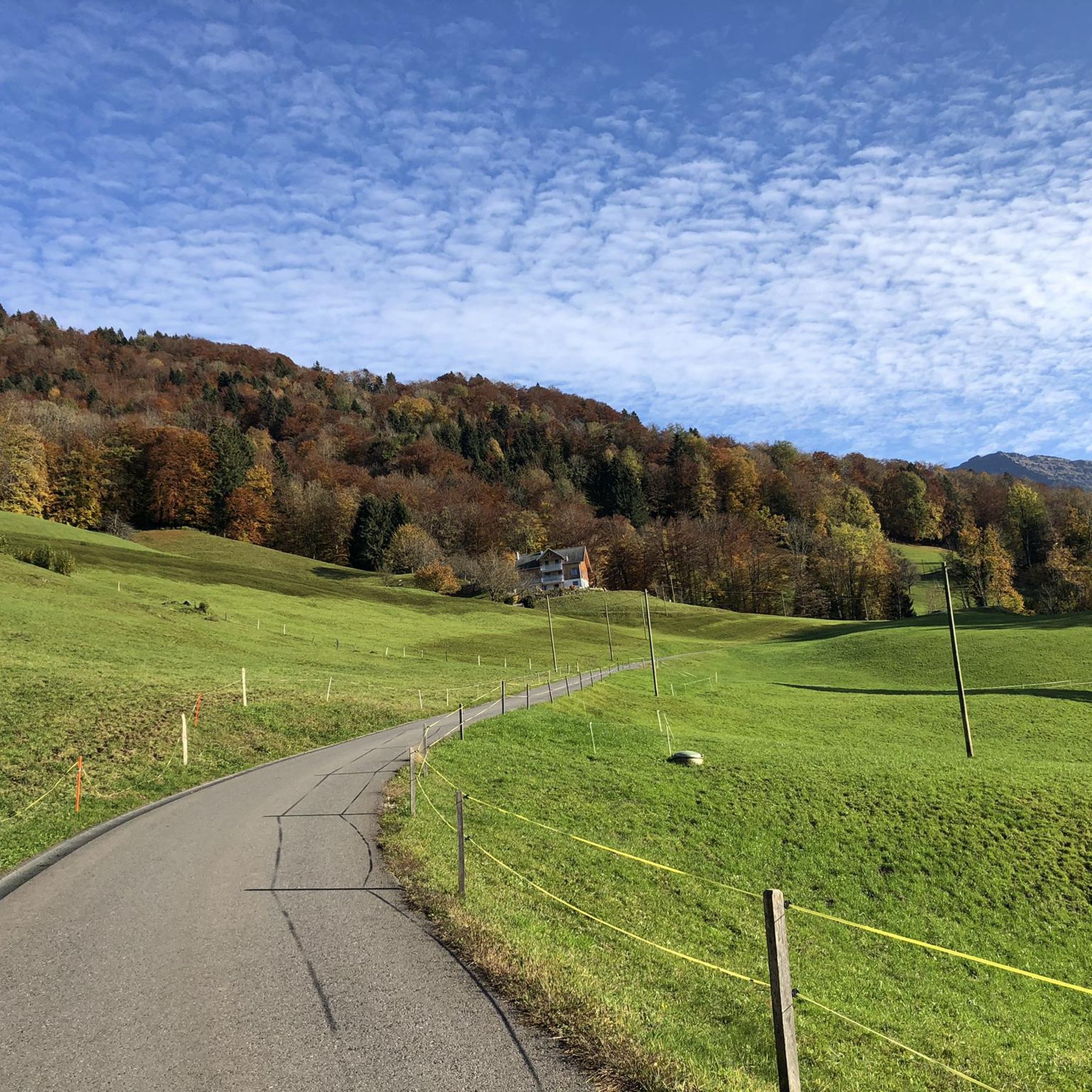
Tips from the Community

A new trail has been completed and bypasses the marshy meadow. Now everything is accessible in both directions. (S1-S2)
2
0

Very nice, quite long trail from Dunkelboden down to the Obersee. Divided into sectors (A to F), lower sectors a bit more difficult than upper ones in my opinion. Overall everything is S2 (some places S3?). A dangerous jump in sector E (see photo).
0
0

Trail at its best, especially in autumn with lots of wet leaves and lots of slippery "surprises" :-) Traces of the last storm have been removed and the Brüggli has been renovated very well in the last few days. Big praise and thanks to everyone from the bbTrails association and helpers!
0
0

Absolutely beautiful trail just to enjoy, when it rains I can well imagine that it can get very muddy 😊
0
1
Going up or down is simply fun with the Hammer Panorama
0
0

The Seewald Trail has been completely redesigned and is clearly visible on the map on kommot. The pictures are outdated. The highlights are wrong. Current information at www.bbtrails.ch.
1
0
S1 and S2 trail, mostly narrow between undergrowth and thorns, today greasy, wet and slippery. At the end on the Hundschopf, it is very steep (caution!).
0
1
Frequently Asked Questions
What kind of biking experiences can I expect around Kaltbrunn?
Around Kaltbrunn, you'll find a focus on natural mountain biking trails rather than constructed bike parks with artificial features. The region offers diverse terrain, from forested paths to open scenic routes, with varying levels of technical challenge and significant elevation changes. It's an immersive experience of the Swiss landscape.
Are there trails suitable for beginners or less experienced riders?
Yes, there are trails that cater to intermediate skill levels. For instance, the Schwämmli Alp Trails offer a scenic and mobile option between Schwämmli and Ober Älpli. The Oberbächen–Stotzweid–Chübodenegg Trail is also an intermediate trail with forest and viewpoint sections, though it can have challenging ramps and muddy conditions.
Which trails offer challenging rides for advanced mountain bikers?
For experienced and very fit riders, several challenging options exist. The Seewald Trail features challenging sections near a lake and forest, including a hearty downhill drive to the marina Nuolen. The Cellotrail Buchberg is a long, challenging trail with roots and technical sections (S2-S3). Additionally, the Berg Sion Convent loop and the Längenegg Pass loop are demanding routes requiring very good fitness and advanced skills.
What natural features or viewpoints can I enjoy while cycling?
Many trails around Kaltbrunn offer stunning natural beauty and viewpoints. The Rossweidhöchi Trail provides ingenious descents and fantastic views. The Längenegg Pass loop offers expansive views of Lake Klöntal. You'll encounter diverse terrain, from dense forests to open scenic routes, and some trails feature lakes, such as the Seewald Trail.
What is the best time of year to go mountain biking around Kaltbrunn?
The best time to visit for mountain biking is generally during the warmer months, from spring through autumn. During these seasons, trails are typically dry and accessible. Some trails might be muddy after rain, as noted for the Oberbächen–Stotzweid–Chübodenegg Trail, so checking weather conditions is advisable.
Are there other outdoor activities available near the bike trails?
Absolutely. Beyond mountain biking, the Kaltbrunn area is excellent for other outdoor pursuits. You can find numerous MTB Trails, Road Cycling Routes, and Running Trails. Options range from moderate running loops to difficult road cycling routes over passes like Sattelegg and Ibergeregg.
Where can I find cafes or restaurants near the bike trails?
Some trails are known for convenient stops. For example, the Schwämmli Alp Trails are noted for good coffee stops. While specific cafes directly on every trail are not listed, Kaltbrunn and surrounding villages offer various options for refreshments after your ride.
Is bike rental available in Kaltbrunn or nearby?
While specific bike rental shops in Kaltbrunn are not detailed, larger towns in the St. Gallen region typically offer bicycle rental services. It is recommended to check with local tourism offices or sports shops in nearby communities for rental options.
What are the parking options for accessing mountain bike trails?
Parking availability varies by trail access point. Many trailheads in the region, especially those serving as starting points for loops, will have designated parking areas. It's advisable to check specific trail information or local maps for detailed parking instructions before your visit.
Can I reach the bike trails using public transport?
Kaltbrunn is connected by public transport, and some trail starting points may be accessible via bus or train. However, given the natural and often remote nature of mountain bike trails, direct public transport access to every trailhead might be limited. Planning your route with public transport schedules in mind is recommended.
What do visitors enjoy most about biking in the Kaltbrunn area?
Visitors appreciate the natural beauty and the diverse challenges offered by the trails. The immersive experience of the Swiss landscape, the varying technical difficulties, and the opportunity for scenic rides are frequently highlighted. Trails like the Rossweidhöchi Trail are praised for their 'ingenious descent,' and the Cellotrail Buchberg is described as 'absolutely cool' and 'a lot of fun'.
Most popular routes around Kaltbrunn
Most popular attractions around Kaltbrunn

Get inspired with the komoot mobile app


Explore more
Still looking for your perfect bike park? Check out our guides in these places:
