Top 9 Mountain Passes around Hauenstein-Ifenthal
Best mountain passes around Hauenstein-Ifenthal are located in the Solothurner Kettenjura mountain range in the canton of Solothurn, Switzerland. This area features diverse mountain terrain, offering routes from historic trade paths to scenic viewpoints. The region provides access to various mountain-related attractions, including passes, peaks, and natural features.
Best mountain passes around Hauenstein-Ifenthal
- The most popular mountain passes is Chilchzimmersattel, a mountain pass and viewpoint that serves as a starting point for hikes to the Belchenfluh. It offers a…
Last updated: June 26, 2026
Saalhöhe Pass
Highlight • Mountain Pass
Translated by Google •
Tip by

Hauenstein Military Road to the Belchenflue
Highlight (Segment) • Trail
Translated by Google •
Tip by

Sign up now to discover places like this
Get recommendations on the best single tracks, peaks, & plenty of other exciting outdoor places.
Sign up for free
Chilchzimmersattel
Highlight • Mountain Pass
Translated by Google •
Tip by

Chilchzimmersattel Ascent from Langenbruck
Highlight (Segment) • Mountain Pass
Translated by Google •
Tip by

Breitenhöchi Pass
Highlight • Mountain Pass
Translated by Google •
Tip by

Sign up for free to discover even more mountain passes around Hauenstein-Ifenthal.
Sign up for free
Already have an account?
Start today with a free account
Your next adventure awaits.
Login or Signup
Popular around Hauenstein-Ifenthal
Jura Crest Trail - Rocks, distant views and fondue - 16 stages
Road Cycling Routes around Hauenstein-Ifenthal
Cycling around Hauenstein-Ifenthal
MTB Trails around Hauenstein-Ifenthal
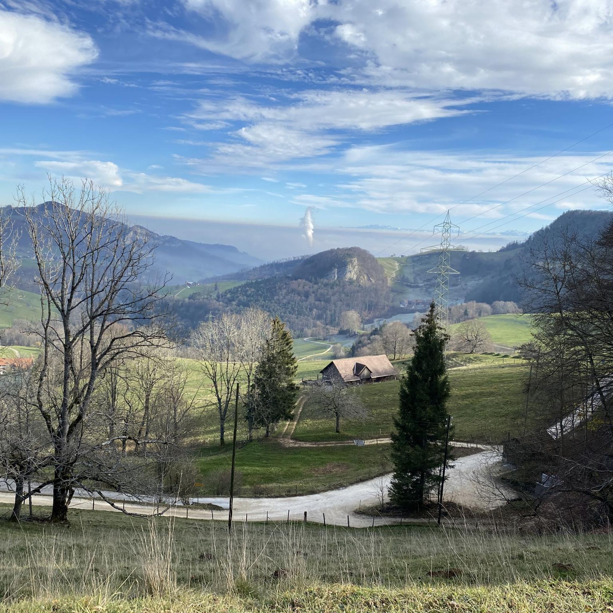
Running Trails around Hauenstein-Ifenthal
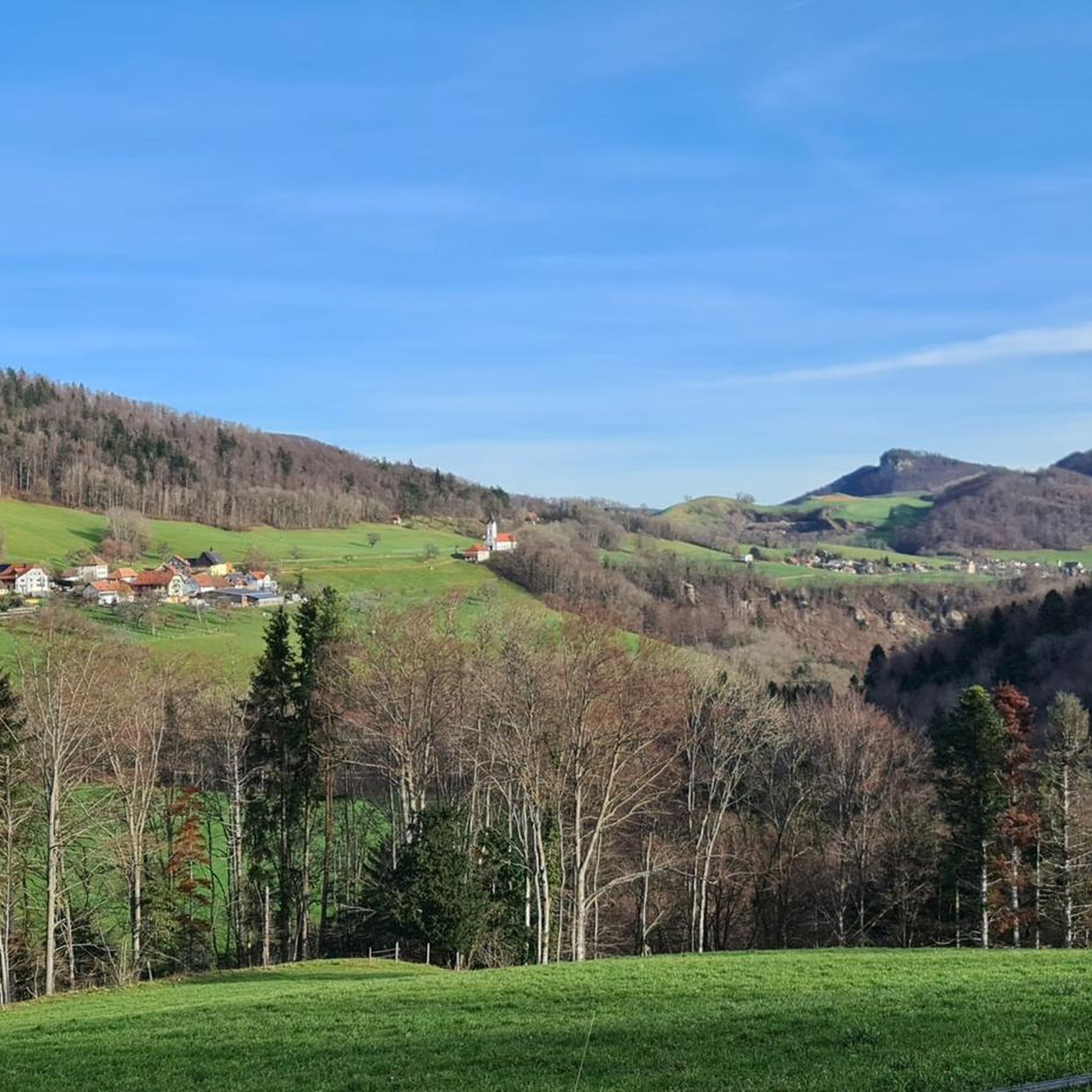
Hiking around Hauenstein-Ifenthal

Gravel biking around Hauenstein-Ifenthal

Mountain Hikes around Hauenstein-Ifenthal
Other adventures around Hauenstein-Ifenthal

Tips from the Community

Starting point for many beautiful Jura hikes
5
0

Great mountain stage to the Chilzimmersattel past the Schönthal monastery in picturesque landscape
0
0

A challenging pass in the Tafeljura, the climb is made up of a small road with a maximum gradient of 15% and little traffic. The scenery is very scenic, with magnificent panoramas along the way.
1
1

Nice hike down to the Rhine - a good 30 km.
1
0
Rest area with parking spaces. Shortest starting point for the hike to the Belchenfluh.
9
0

The climb from Hägendorf to Langenbruck over the Teufelsschlucht is a highlight in itself, and the further climb to the Chilchzimmersattel is the masterpiece. Good road surface, but gradients of up to 15% make the wonderful views hard-earned!
0
0
A very tough climb from both sides, with gradients in some places well into the double figures, but the views during the ride and from the saddle are phenomenal. The World War I Fortification Memorial Trail is also recommended.
2
1

Interesting route, pleasant climb
0
0
Frequently Asked Questions
What historical significance do the mountain passes around Hauenstein-Ifenthal hold?
The region's passes, particularly the Unterer Hauenstein Pass, boast a rich history dating back to pre-Roman times, serving as an ancient trade route. Roman artifacts have been found, and it played a crucial role through the Middle Ages. Additionally, sites like the Hauenstein Military Road to the Belchenflue and the Wisenberg Observation Tower have historical relevance from World War I and II, respectively.
Where can I find the most panoramic views near Hauenstein-Ifenthal?
For unparalleled 360-degree panoramic views, head to Belchenflue. From its 1,099-meter peak, you can see the Black Forest, the Vosges, and the Alps, with Mont Blanc visible on clear days. Another excellent spot is the Wisenberg Observation Tower, offering elevated perspectives of the Homburg valley, Basel region, Mittelland, and distant Alps.
Are there challenging climbs for cyclists or hikers in the region?
Yes, the region offers challenging routes. The Chilchzimmersattel Ascent from Langenbruck is known for sections with gradients reaching 10 to 15%, making it a demanding climb. For hikers, the ascent to Belchenflue includes steps carved into the rock, providing a rewarding challenge with spectacular views.
What unique natural attractions can I explore besides mountain passes?
Beyond the passes, the Tüfelsschlucht (Devil's Gorge) offers a unique and scenic experience. This picturesque gorge features waterfalls, moss-covered rocks, and vibrant greenery, with 32 bridges and catwalks guiding visitors through its captivating 2.2-kilometer length. It's ideal for hikers seeking natural beauty and adventure.
Which mountain passes offer amenities like parking or restaurants?
The Chilchzimmersattel provides a rest area with parking spaces, making it a convenient starting point for hikes. The Saalhöhe Pass also features parking and a cozy restaurant, perfect for a stop after exploring the hiking trails.
Are there specific trails that highlight the military history of the area?
Absolutely. The Hauenstein Military Road to the Belchenflue is a trail and historical site that provides a long ascent with elements of military historical interest, including rock engravings and murals commemorating troops from World War I. The Belchenflue itself was a vital observation post during WWI.
What kind of terrain can I expect on the Unterer Hauenstein Pass?
The Unterer Hauenstein Pass features a road stretching approximately 10 kilometers with a moderate average gradient of 6%. The route takes travelers through enchanting forests, alongside rugged rock faces, and across expansive open fields, offering diverse scenery.
Can I find family-friendly options for exploring the mountain passes?
While specific 'family-friendly' categories aren't always explicit for passes, the moderate gradients of the Unterer Hauenstein Pass make it accessible for various types of travelers. The Tüfelsschlucht, with its well-maintained paths and bridges, also offers a fascinating and manageable adventure for families.
What outdoor activities are available near the mountain passes around Hauenstein-Ifenthal?
The region is excellent for various outdoor activities. You can find numerous hiking trails, including moderate and challenging options, as detailed in the Hiking around Hauenstein-Ifenthal guide. For cyclists, the Breitenhöchi Pass is described as a 'racing cyclist dream' with its well-maintained road and moderate slope. Mountain biking trails are also available; explore them in the MTB Trails around Hauenstein-Ifenthal guide.
What do visitors enjoy the most about the mountain passes in this region?
Visitors frequently praise the spectacular panoramic views, especially from spots like Belchenflue, which offers vistas of the Black Forest, Vosges, and Alps. The rich history of the passes, from ancient trade routes to WWI observation points, also captivates many. The well-maintained roads and trails, like those on the Breitenhöchi Pass, are also highly appreciated by cyclists and hikers.
Is there a mountain pass particularly suitable for road cycling?
Yes, the Breitenhöchi Pass is highly recommended for road cyclists. It's described as a 'racing cyclist dream' due to its straight, two-lane asphalt road in excellent condition, offering many views and a moderate slope up to its high point at 845 meters. Motorized traffic is generally light, enhancing the cycling experience.
How can I access the Belchenflue viewpoint?
The Belchenflue can be accessed via hiking trails, including a historic military road built during WWI. The final stretch to the peak involves steps carved directly into the rock, made safe with railings. A popular starting point for hikes to Belchenflue is the Chilchzimmersattel, which offers parking.
Are there any observation towers offering unique perspectives?
Yes, the Wisenberg Observation Tower provides a unique elevated perspective. Standing at 24.5 meters tall, it offers breathtaking panoramic views of the Homburg valley, the wider Basel region, the Mittelland, and the distant Alps on a clear day. It's a great way to see the Jura mountains and surrounding landscapes from above the treetops.
Most popular routes around Hauenstein-Ifenthal
Most popular attractions around Hauenstein-Ifenthal

Get inspired with the komoot mobile app


Explore more
See even more epic mountain passes by checking out these guides around Hauenstein-Ifenthal:
