Châtel-sur-Montsalvens
Châtel-sur-Montsalvens
Top 7 Mountain Passes around Châtel-sur-Montsalvens
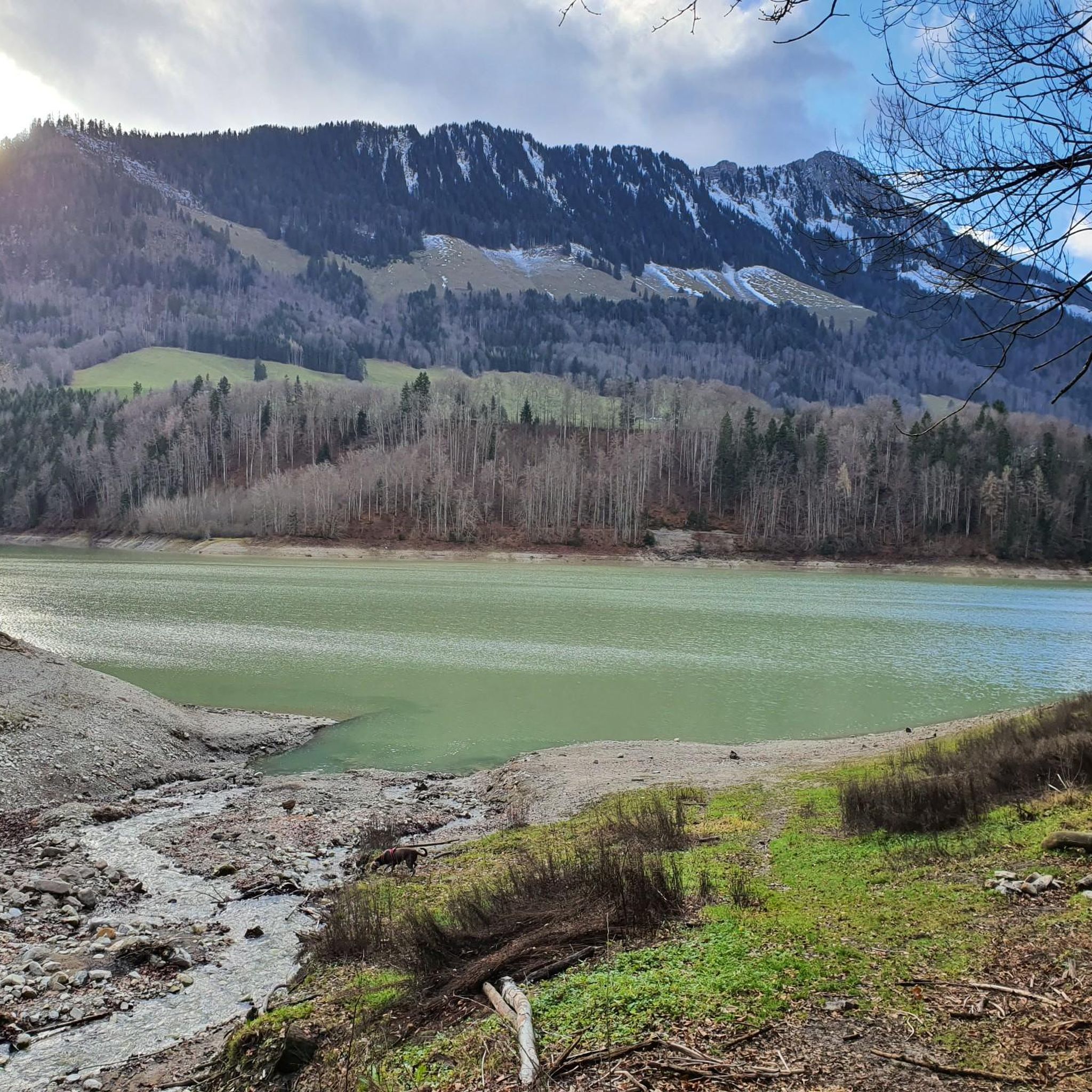
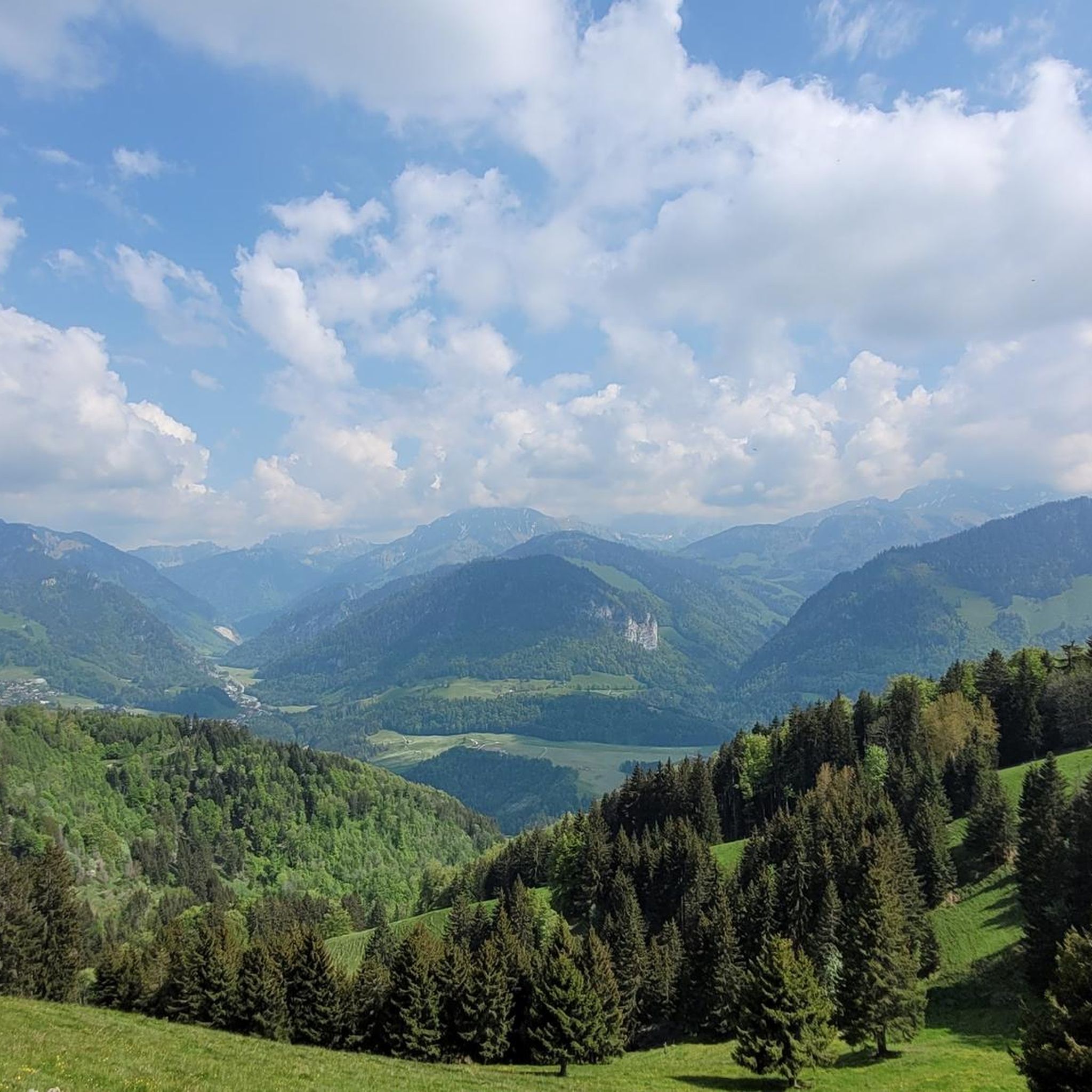
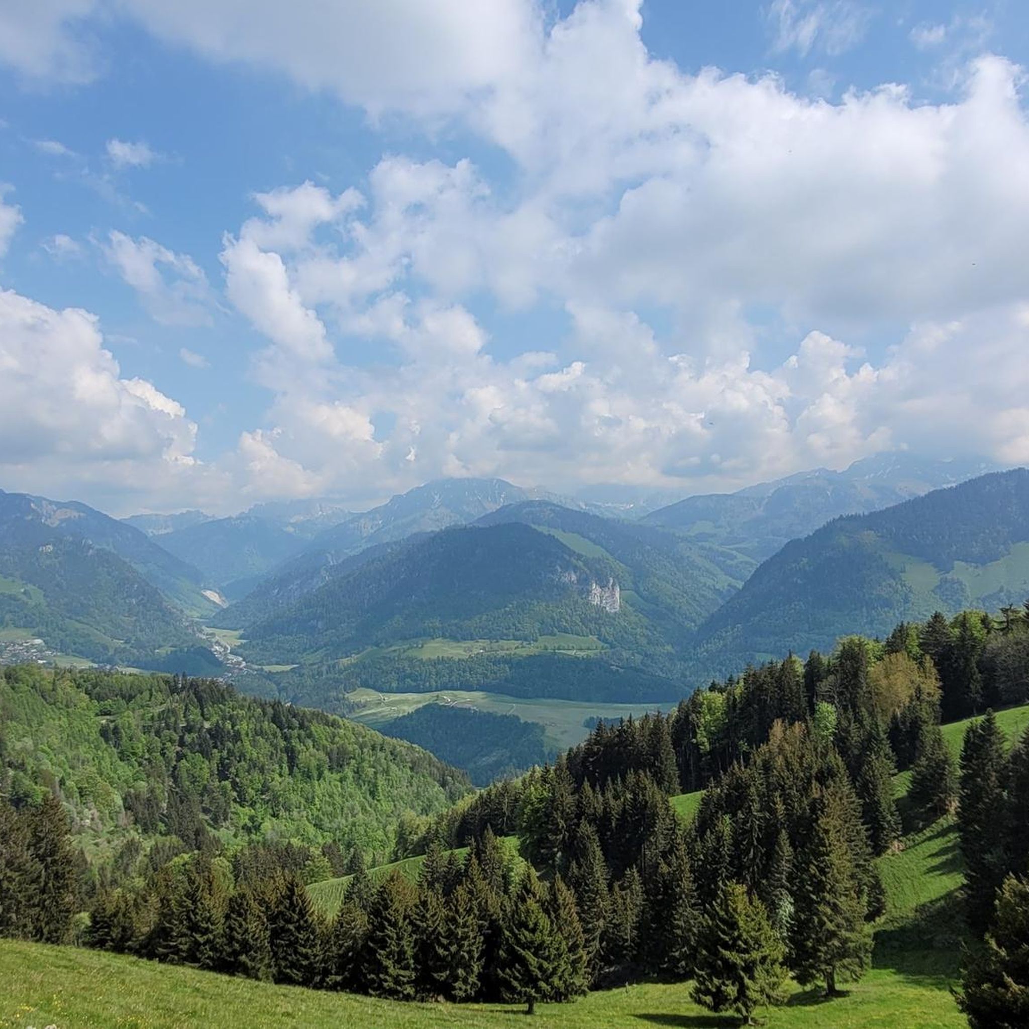
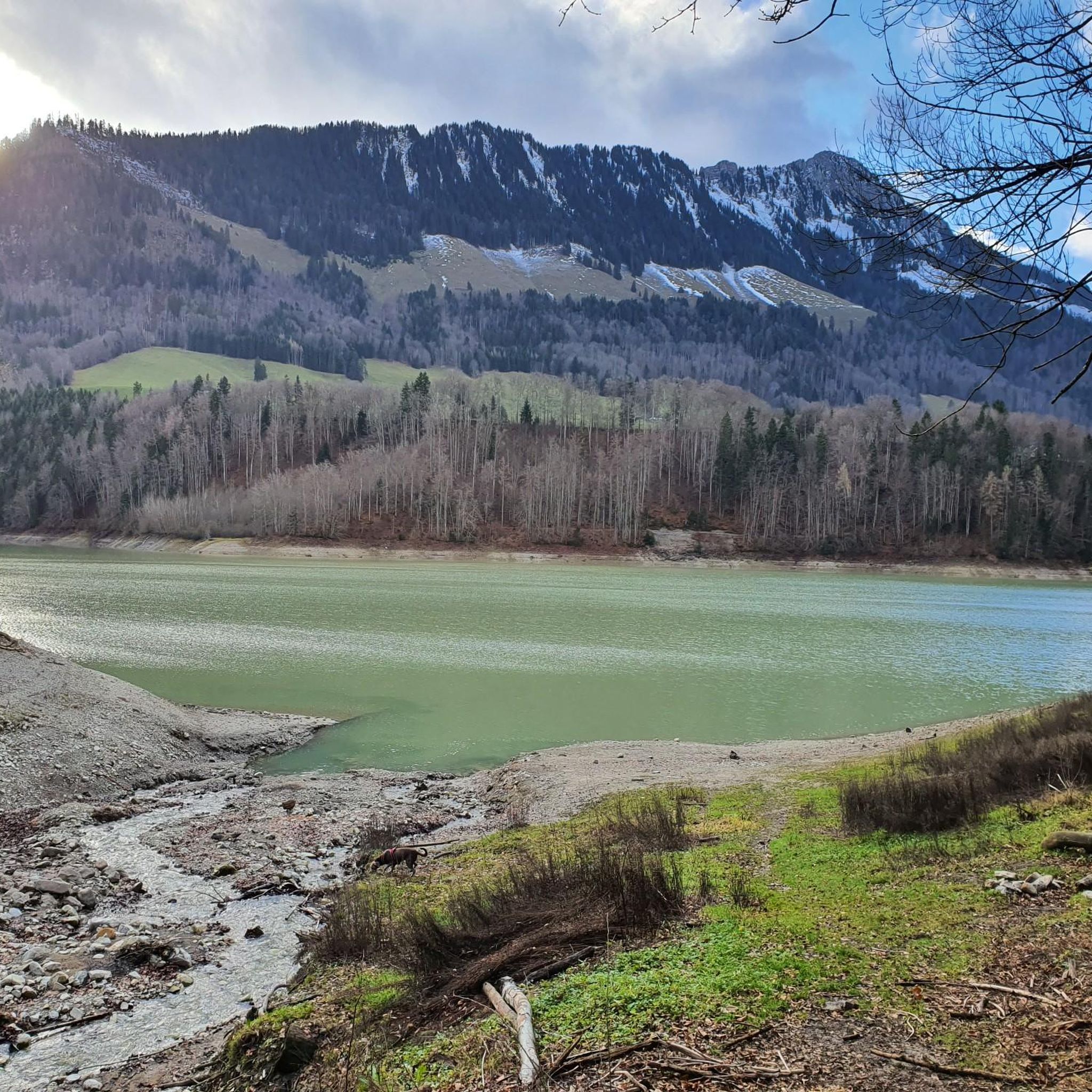
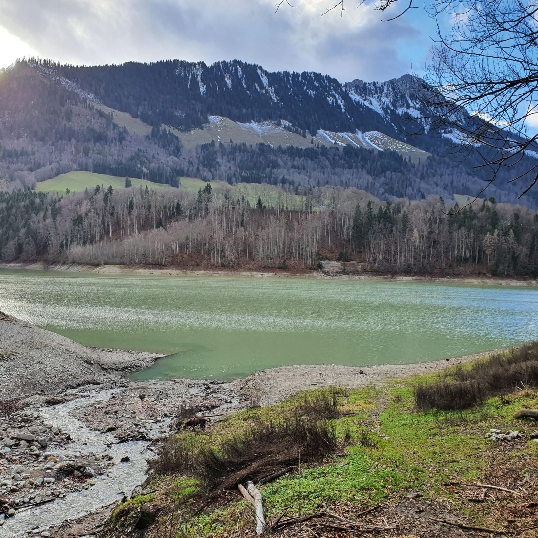
Best mountain passes around Châtel-sur-Montsalvens are found in the Fribourg Pre-Alps, a region known for its scenic hiking trails and elevated viewpoints. This area, part of the picturesque Gruyère district, offers numerous opportunities to traverse mountainous terrain. The landscape features alpine pastures, dense forests, and steeply folded rock faces, providing diverse hiking experiences. Elevated routes and viewpoints offer panoramic vistas of the Jogne Valley, Lake Montsalvens, and prominent peaks like the Dent-de-Broc.
Best mountain passes around Châtel-sur-Montsalvens
- The most popular…
Last updated: June 26, 2026
High-altitude trail
Highlight (Segment) • Trail
Translated by Google •
Tip by

Schopfenspitz (Gros Brun)
Highlight • Summit
Translated by Google •
Tip by

Sign up now to discover places like this
Get recommendations on the best single tracks, peaks, & plenty of other exciting outdoor places.
Sign up for free
Vacheresse
Highlight • Viewpoint
Translated by Google •
Tip by

View of the Gastlosen and Dent de Ruth
Highlight • Viewpoint
Translated by Google •
Tip by

Combigabel Pass (1928 m)
Highlight • Mountain Pass
Attention: The path is quite exposed for about 100m and only partially secured with chains. Very slippery rocks …
Translated by Google •
Tip by

Sign up for free to discover even more mountain passes around Châtel-sur-Montsalvens.
Sign up for free
Already have an account?
Start today with a free account
Your next adventure awaits.
Login or Signup
Popular around Châtel-sur-Montsalvens
Tips from the Community

From here, you'll enjoy breathtaking panoramic views of the surrounding mountain peaks and valleys below.
2
0

Coming from Combi, you first cross a very rocky section that is not easy to walk on, where you have to find your own way. It does have red and white markings, but they don't make much sense. But you can get through it well if you're sure-footed, and it's fun. Afterwards you hike on a narrow path through the slope under the rock walls. Impressive, very cool, but here it is clearly an advantage to be sure-footed and not afraid of heights.
2
0

Small and very impressive footpath from the Jauntal to the Brecca Gorge. Attention: The path is quite exposed for about 100m and only partially secured with chains. Very slippery rocks even when wet. Observe the rules for alpine trails (marked in blue and white)!
0
0

The section comfortably follows the hiking trail to the Chalet de la Gueyre. You can enjoy the view of the Gastlosen in the back and the Dent de Ruth.
0
0

If only there weren't so many flies during the summer...
5
0
The Schopfenspitz also has a French name, "Gros Brun". He is at 2104 m above sea level. M.
4
0

The approximately 2130m high peak is one of the highest mountains that can be hiked from Schwarzsee. The climb is quite steep.
2
0
Frequently Asked Questions
What are some of the most popular elevated viewpoints or 'mountain passes' in the Châtel-sur-Montsalvens area?
Visitors frequently enjoy the High-altitude trail, known for its challenging, rocky sections and impressive rock walls. Other popular spots include Vacheresse and the View of the Gastlosen and Dent de Ruth, both offering breathtaking panoramic views of the surrounding peaks and valleys.
What kind of terrain can I expect on the trails around Châtel-sur-Montsalvens?
The terrain is diverse, ranging from alpine pastures and dense forests to steeply folded rock faces. Some trails, like the High-altitude trail, feature very rocky sections requiring sure-footedness. You'll find paths that can be steep and rocky, as well as more comfortable hiking trails.
Are there any challenging routes for experienced hikers in the region?
Yes, for experienced hikers, the High-altitude trail offers a demanding experience with rocky sections and narrow paths under rock walls. The Schopfenspitz (Gros Brun) is another challenging option, featuring a steep climb to its summit at over 2100m. Additionally, the Tour of Dent de Broc, a 17.0 km loop, involves significant elevation gain and requires good fitness.
When is the best time to visit the mountain passes around Châtel-sur-Montsalvens?
The best time to visit is generally from June to October. During these months, the weather is mild, and the flowers are often in bloom, making for pleasant hiking conditions and vibrant scenery. For specific passes like Col de Lade, this period is highly recommended.
What natural features can I see from these elevated routes?
From various elevated points, you can enjoy expansive views of the Jogne Valley, Lake Montsalvens, and prominent peaks like the Dent-de-Broc and Moléson. The region also features alternating alpine pastures and forests, with some sections revealing steeply folded rock faces and areas rich in geological history.
Are there any historical landmarks or points of interest near the mountain passes?
While the region is primarily known for its natural beauty, the nearby town of Gruyères is famous for its medieval castle. Additionally, the View from Mont Bifé loop, starting from Châtel-sur-Montsalvens, offers views of the Château de Montsalvens ruins, combining natural beauty with a glimpse into the region's history.
What outdoor activities can I do near these mountain passes?
Beyond exploring the mountain passes, the area offers a variety of outdoor activities. You can find numerous hiking trails, including the Jogne Gorge Trail and the challenging Tour of Dent de Broc. For those interested in cycling, there are also gravel biking routes and more demanding mountain hikes available.
Are there family-friendly hiking options around Châtel-sur-Montsalvens?
While many routes offer challenging terrain, the Charmey-Crésuz-Châtel-sur-Montsalvens Hiking Trail provides an accessible way to experience the elevated terrain and scenic views between villages. For specific family-friendly routes, it's advisable to check the difficulty ratings on individual hiking guides, such as those found in the Hiking around Châtel-sur-Montsalvens guide.
What do visitors enjoy most about the elevated routes and viewpoints in Châtel-sur-Montsalvens?
Visitors particularly appreciate the breathtaking panoramic views of the surrounding mountain peaks and valleys. The diverse landscape, from dense forests to open pastures and impressive rock formations, makes for an engaging hiking experience. The sense of being high in the mountains, combined with challenging yet rewarding trails, is a major draw.
Is public transport available to access trails around Châtel-sur-Montsalvens?
While specific public transport details for each trailhead are not provided, Châtel-sur-Montsalvens is part of the Gruyère district, which generally has good regional transport connections. It's recommended to check local bus schedules for access to specific starting points for hikes and elevated routes.
Can I find viewpoints that offer views of distant mountain ranges?
Yes, several viewpoints provide extensive vistas. From the View of the Gastlosen and Dent de Ruth, you can clearly see the Gastlosen in the background. The View from Mont Bifé loop also reveals broad vistas of the Pre-Alps and the Swiss Plateau, offering views of distant ranges on clear days.
Most popular routes around Châtel-sur-Montsalvens
Most popular attractions around Châtel-sur-Montsalvens

Get inspired with the komoot mobile app


Explore more
See even more epic mountain passes by checking out these guides around Châtel-sur-Montsalvens:
