Top 5 Mountain Passes around Meggen
Best mountain passes around Meggen, a municipality in the canton of Lucerne, Switzerland, are situated on the Küssnacht arm of Lake Lucerne. While the immediate vicinity features agricultural land and forests, the broader region provides access to notable mountain peaks and passes. Meggen serves as a gateway to Central Switzerland's mountainous landscape, offering diverse experiences. The area is known for its scenic trails and routes, connecting various points of interest.
Best mountain passes around Meggen
- The most popular mountain passes…
Last updated: June 26, 2026
Staffelhöhe
Highlight • Viewpoint
Translated by Google •
Tip by

Michaelskreuz Pass Summit
Highlight • Mountain Pass
Translated by Google •
Tip by

Sign up now to discover places like this
Get recommendations on the best single tracks, peaks, & plenty of other exciting outdoor places.
Sign up for free
Rengg Pass
Highlight • Mountain Pass
Translated by Google •
Tip by

Renggpass
Highlight • Mountain Pass
Translated by Google •
Tip by

View of Grosse Scheidegg
Highlight • Viewpoint
Translated by Google •
Tip by

Sign up for free to discover even more mountain passes around Meggen.
Sign up for free
Already have an account?
Start today with a free account
Your next adventure awaits.
Login or Signup

Tips from the Community

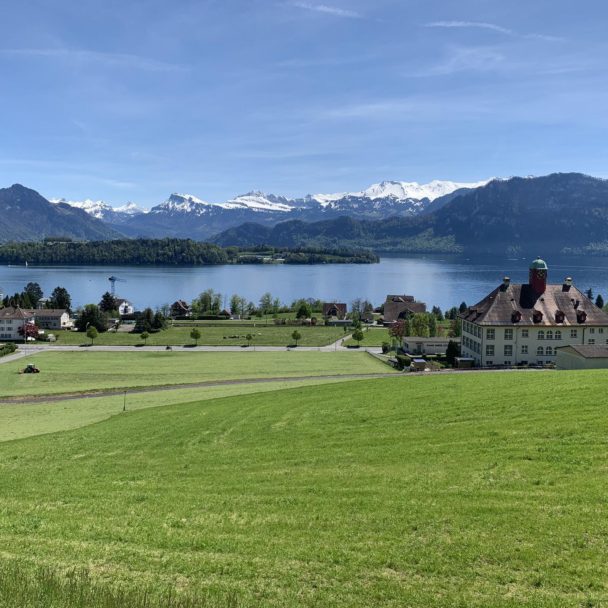
The Michaelskreuz pass is located at an altitude of approximately 770 to 795 meters ⛰️. Up there, there is a small chapel and an inn, where you can take a break and enjoy the great view of the Rigi, among other things 🌄🍽️.
0
0

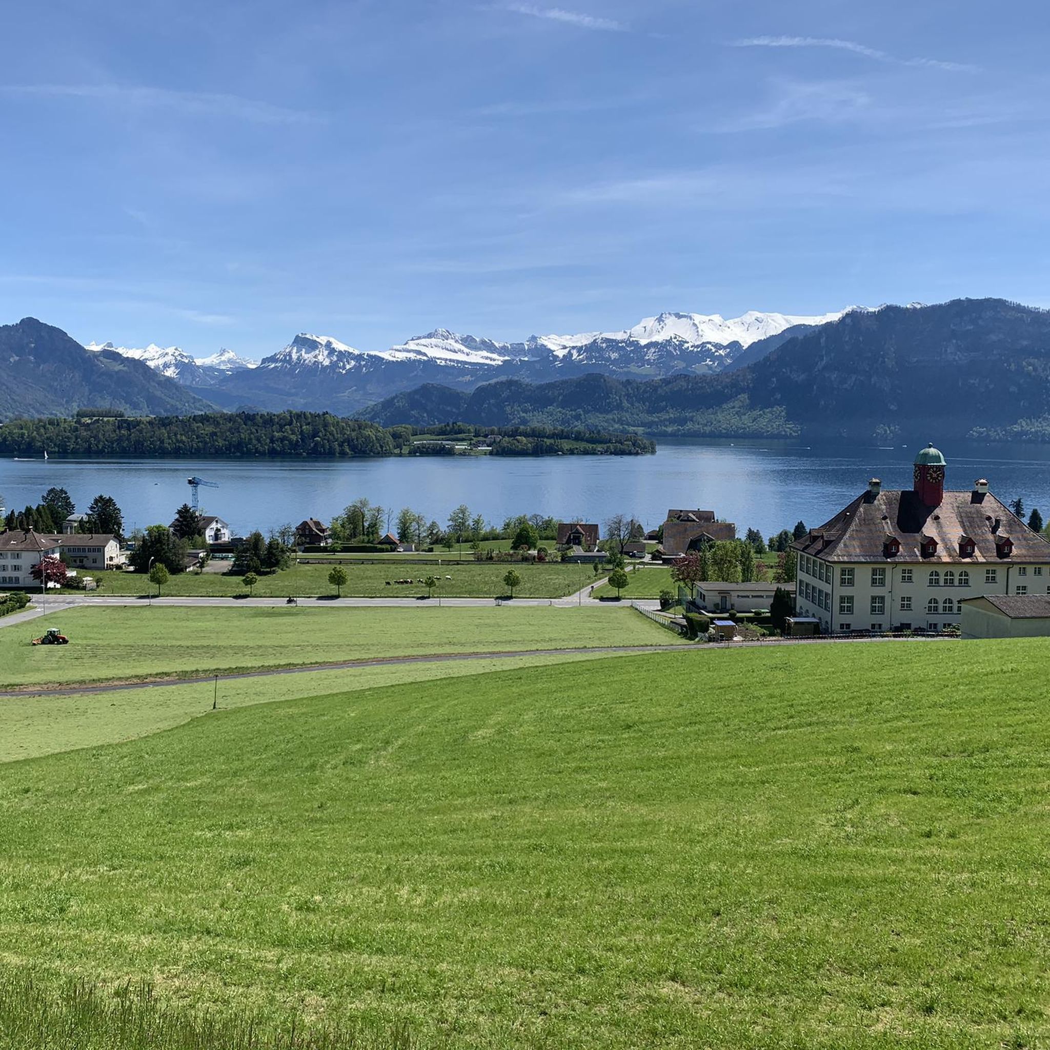
The Rengg Pass connects Hergiswil and Alpnachstad and was once an important mule track. Today, a beautiful hiking trail leads through forests and past historical sites, including the remains of a medieval defensive wall. The pass offers tranquil nature, steep sections, and views of Lake Lucerne and Mount Pilatus – ideal for a short, historically rich hike.
7
0

Popular pass at the Michaelkreuz. There are also lovely stopping points on the way up, with or without benches. Beautiful panorama during the ascent, and at the chapel you can enjoy a fantastic view of the surrounding landscape, lakes, mountains and Alps.
0
0

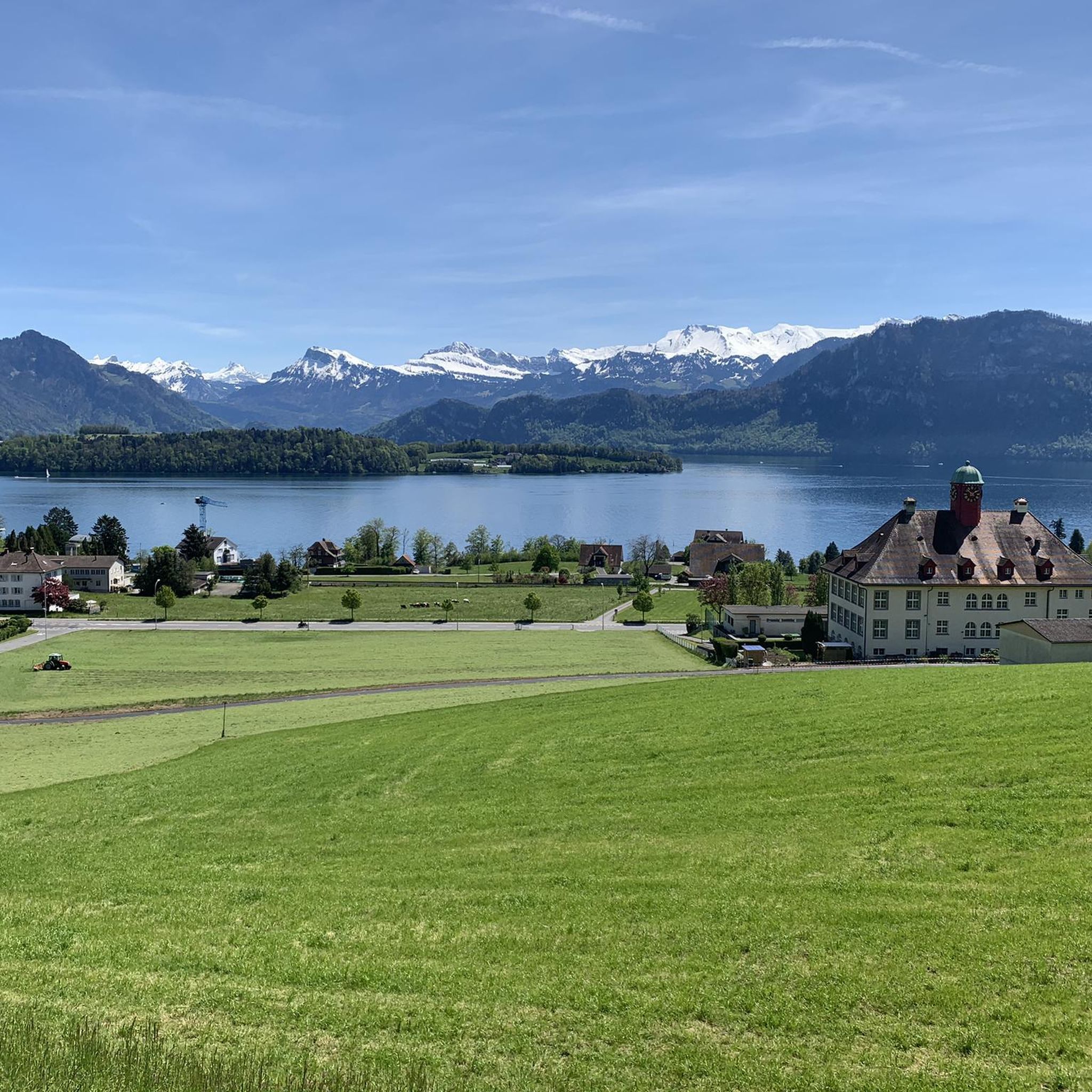
This is where the cantonal border between Lucerne and Schwyz lies. Originally, the Vitznau Rigi Railway was only allowed to run as far as Staffelhöhe. For a long time, it was not allowed to cross the cantonal border from Lucerne to Schwyz. The reason was that the people of Schwyz wanted to promote the Arth Rigi Railway, which lies on Schwyz soil. It was not until two years later (1873) that the railway was extended to Rigi Kulm (1752 m above sea level). This section lies in the territory of the canton of Schwyz, for which the VRB does not have a concession. The line belongs to the ARB and was leased by the Vitznau-Rigi Railway. It was not until 1990 that a track connection was established between the ARB and VRB in Rigi Staffel. This was the beginning of the merger, which was completed in 1992 and also includes the Weggis–Rigi Kaltbad cable car (LWRK).
1
0


The Renggpass is located at 885 meters above sea level, exactly between the two cantons of Nidwalden and Obwalden. From here you can look down about 450 meters to Lake Lucerne.
4
0

The path/climb from here over the back to the Chrummhorn is steep and spectacular... ;-)
2
0

The historic mountain saddle Rengg, 891 m above sea level, was once a popular pass crossing to Obwalden and from there to Lucerne. Before the Brünigstrasse was built, this was the only land route along the Lopper and the shortest land connection with the Brünig.
4
0
Frequently Asked Questions
What are some of the most scenic mountain passes and viewpoints around Meggen?
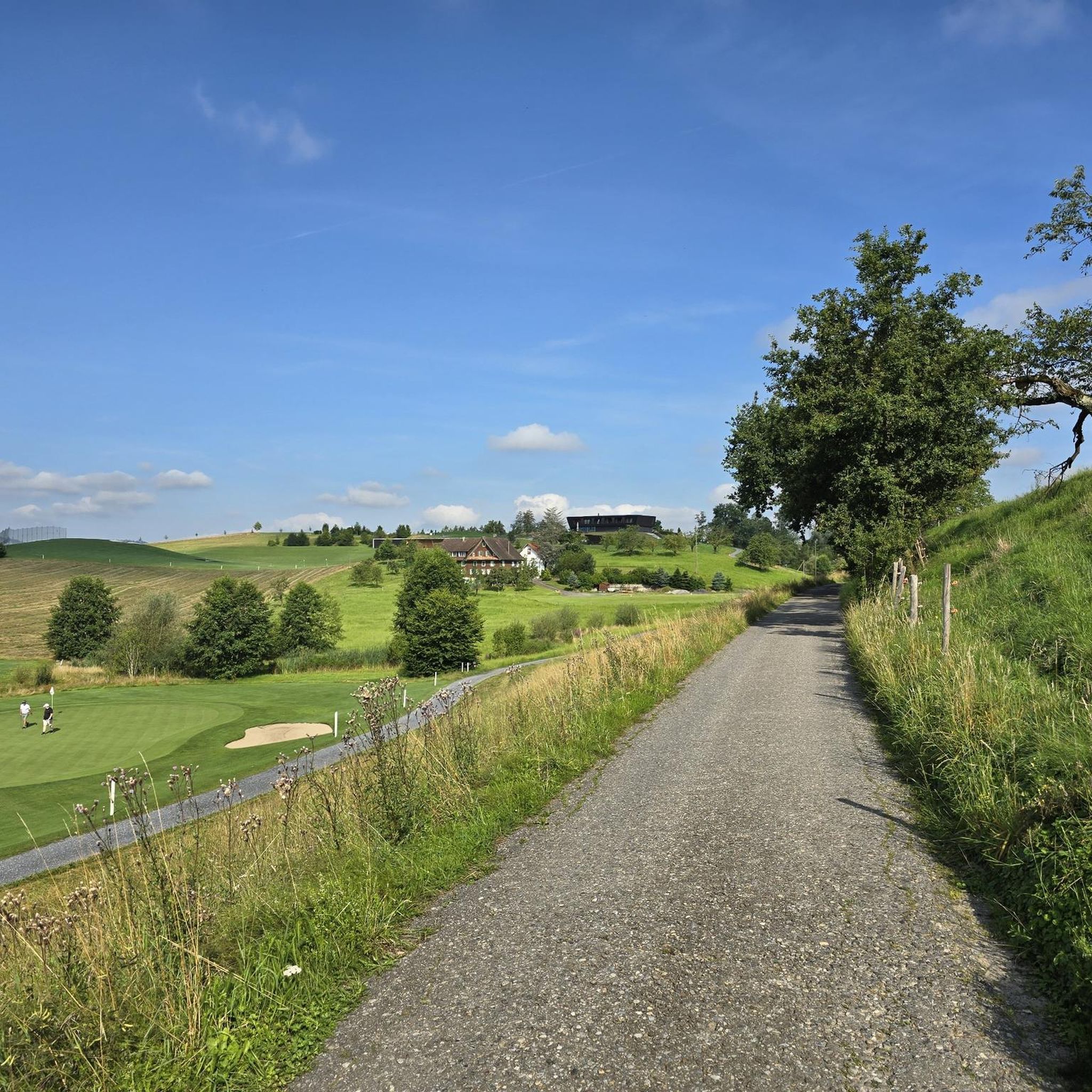
The region around Meggen offers several breathtaking viewpoints and passes. Notable ones include View of Grosse Scheidegg, known for its sensational, rocky vistas. Another popular spot is Staffelhöhe, which provides expansive views of the Alps, mountains, and Lake Lucerne. The historic Rengg Pass also offers views down to Lake Lucerne and Mount Pilatus.
Are there any historical mountain passes or sites near Meggen?
Yes, the Rengg Pass is a significant historical site. Located at 885 meters above sea level, it was once an important mule track connecting Hergiswil and Alpnachstad. Today, a hiking trail leads through forests and past remains of a medieval defensive wall, offering a journey through history with views of Lake Lucerne and Mount Pilatus. Additionally, Staffelhöhe has historical significance related to the early days of the Vitznau Rigi Railway.
What is the difficulty level of mountain passes and trails around Meggen?
The difficulty varies. Some passes, like the View of Grosse Scheidegg, are described as having 'various difficult parts' and are recommended for experienced hikers. Other trails, such as the Stans–Kalcherli–Stanserhorn–Stans mountain hike, are explicitly rated as T3 (mountain hiking) and require fitness, surefootedness, a head for heights, and alpine experience. However, there are also more accessible viewpoints like Staffelhöhe, which is considered family-friendly.
Are there family-friendly options for exploring mountain passes near Meggen?
Yes, Staffelhöhe is noted as a family-friendly viewpoint and mountain pass. While some trails are challenging, the broader region offers access to mountains like Rigi and Pilatus via scenic railway and cable car systems, providing accessible ways for families to enjoy the alpine scenery without strenuous hiking.
What kind of outdoor activities can I do near the mountain passes around Meggen?
Beyond hiking the passes themselves, the region offers a variety of outdoor activities. You can find numerous cycling routes, including touring bicycle, road cycling, and gravel biking options. For example, there are touring bicycle routes like the 'View of Lake Lucerne – View of Lake Lucerne loop from Meggen', and challenging road cycling routes such as the 'Three Lakes Tour: Lake Lucerne, Lake Lauerz and Lake Zug'. Explore more options on the Cycling around Meggen, Road Cycling Routes around Meggen, and Gravel biking around Meggen guide pages.
What is the best time of year to visit the mountain passes around Meggen?
The best time to visit largely depends on the activity. For hiking and exploring the passes on foot, the warmer months from late spring to early autumn (May to October) generally offer the most favorable weather conditions. During winter, some higher passes might be covered in snow, making them suitable for experienced winter hikers or accessible via mountain railways to enjoy snow-capped views.
How can I access the mountains and passes around Meggen using public transport?
The broader region around Meggen is well-served by public transport, especially for accessing major mountains. Mount Rigi and Mount Pilatus, for instance, are famous for their mountain railways and cable car systems, offering convenient access to high-altitude viewpoints and trails. While specific public transport details for each pass might vary, these systems provide excellent options for reaching the mountainous landscape.
Are there any challenging mountain hikes or trails near Meggen?
Yes, for experienced hikers seeking a challenge, the region offers demanding trails. An example is the Stans–Kalcherli–Stanserhorn–Stans mountain hike, which is a difficult T3-rated tour. This route involves very steep sections and requires good fitness, surefootedness, and a head for heights. The View of Grosse Scheidegg also presents various difficult parts, making it rewarding for those who enjoy a strenuous effort.
What natural features can I expect to see from the mountain passes?
From the mountain passes and viewpoints around Meggen, you can expect stunning natural beauty. Highlights often include panoramic views of the Swiss Alps, multiple lakes (such as Lake Lucerne), and lush forests. The Staffelhöhe offers views of the Alps, mountains, and the lake, while the Rengg Pass provides views down to Lake Lucerne and Mount Pilatus. The 'beautiful mountain scenery' highlight promises 'landscapes from another world'.
What do visitors enjoy most about the mountain passes around Meggen?
Visitors frequently praise the sensational and breathtaking views offered by the passes and viewpoints. The unique experience of being surrounded by 'landscapes from another world' and the sense of achievement after tackling challenging sections are often highlighted. The combination of natural beauty, historical significance, and diverse trail options makes the region highly appreciated by the komoot community.
Can I find circular hiking routes around the mountain passes near Meggen?
While specific circular routes for each pass are not detailed, the region is known for its extensive network of trails. For example, the Stans–Kalcherli–Stanserhorn–Stans mountain hike includes a small circular route at the Stanserhorn summit. Many areas around Meggen, including the broader mountainous landscape, offer opportunities to combine trails into circular hikes, allowing you to experience diverse scenery and return to your starting point.
Most popular routes around Meggen
Most popular attractions around Meggen

Get inspired with the komoot mobile app


Explore more
See even more epic mountain passes by checking out these guides around Meggen:
