Top 20 Natural Monuments around Rorbas
Natural monuments around Rorbas offer diverse landscapes for outdoor exploration. The region features significant natural attractions such as the Irchel area, known for its table mountain and viewpoints, and the Glatt River, providing accessible riverside trails. These areas present opportunities for experiencing nature, hiking, and observing local ecosystems. The landscape includes varied terrain, from forested slopes to river valleys, making it suitable for different outdoor activities.
Best natural monuments around Rorbas
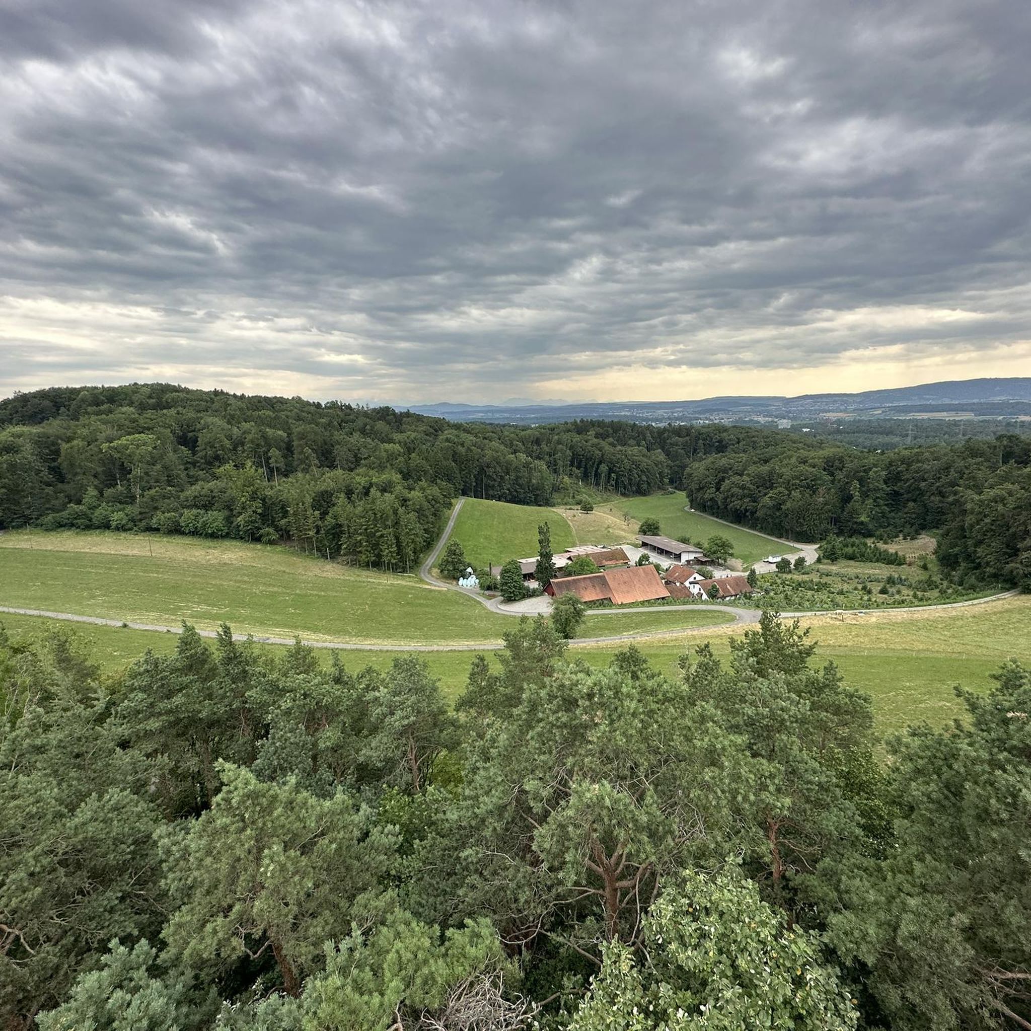
- The most popular natural monuments is Weiacher Höhe, a trail that features a 547-meter-high molasse mountain. This location offers views that can extend as far as the Alps during winter months.
- Another must-see spot is Thurspitz (Confluence of Thur and Rhine), a river confluence. This site allows visitors to observe the meeting point of the Thur and Rhine rivers.
- Visitors also love Golden Gate, a lake formed by rising groundwater. This pond is notable for its clear water and the presence of fine, light sand.
- Rorbas is known for its trails, rivers, and lakes. The area offers a variety of natural monuments to see and explore, from elevated viewpoints to tranquil waterside paths.
- The natural monuments around Rorbas are appreciated by the komoot community, with over 130 upvotes and 40 photos shared.
Last updated: August 6, 2026
Tössegg – Confluence of the Töss and Rhine
Highlight • River
Translated by Google •
Tip by

Lookout
Highlight • Viewpoint
Translated by Google •
Tip by

Sign up now to discover places like this
Get recommendations on the best single tracks, peaks, & plenty of other exciting outdoor places.
Sign up for free
Neeracherried Nature Reserve
Highlight • Natural Monument
Translated by Google •
Tip by

Weiacher Höhe
Highlight • Trail
Rock face formed by middle cover gravel on the southwest edge of the "Stein"; in the background, steam rises from the cooling tower of the Leibstadt nuclear power plant.
On the plateau-like plateau at the top of the "Stein".
The best view from the edge of the plateau of the "Stein" is in winter, when the deciduous trees are bare. In places, the view then extends as far as the Alps.
At the foot of the rock face formed by the middle cover gravels, a small cave has been formed by weathering.
The middle cover gravels were deposited in an earlier ice age, not the last one, and are therefore at least 200,000 years old. If the molasse beneath them is removed by erosion, the cover gravels can temporarily form unstable overhangs. Eventually, rock masses break off and fall as small rockfalls over the mountain flanks. The fallen cover gravel blocks now form magical miniature landscapes in some places on the wooded slopes.
Translated by Google •
Tip by

Golden Gate
Highlight • Lake
Legend of the "Goldig Tor"
(short version according to Meinrad Lienert)
Once upon a time a shepherd boy was tending sheep at the pond. It was a glorious foehn day and the boy lay down on the bank with his eyes heavy with dreams. Suddenly a maiden emerged from the pond up to her shoulders. She lured him with a golden ring on her hand. The boy tried to grab the ring and leaned over the water. Suddenly the maiden took him in both arms and sank with him.
He had barely disappeared when his farmer rushed over, because he had heard his shepherd boy cry out. But he could not see his little shepherd anywhere. Suddenly it shot up like a candle from the golden sand whirlpool in the pond in front of him. He quickly pulled it to the bank. After a while the boy opened his eyes and began to tell what had happened to him: "The water maiden pulled me into an infinite depth. Suddenly I saw a mighty city with a huge golden gate. It just opened wide and a beautiful maiden stepped out. Now the maiden, who was holding me in her arms, opened her arms to greet her friend. At the same moment a whirlpool grabbed me and pulled me up with it. I don't know anything else." The shepherd boy returned to the pond again and again, but he never met the beautiful maiden again. Thanks to his story, however, we now know where the gold flakes in the water come from: they are washed off the golden gate and carried to the surface (content from the information board).
Translated by Google •
Tip by
Sign up for free to discover even more natural monuments around Rorbas.
Sign up for free
Already have an account?
Start today with a free account
Your next adventure awaits.
Login or Signup
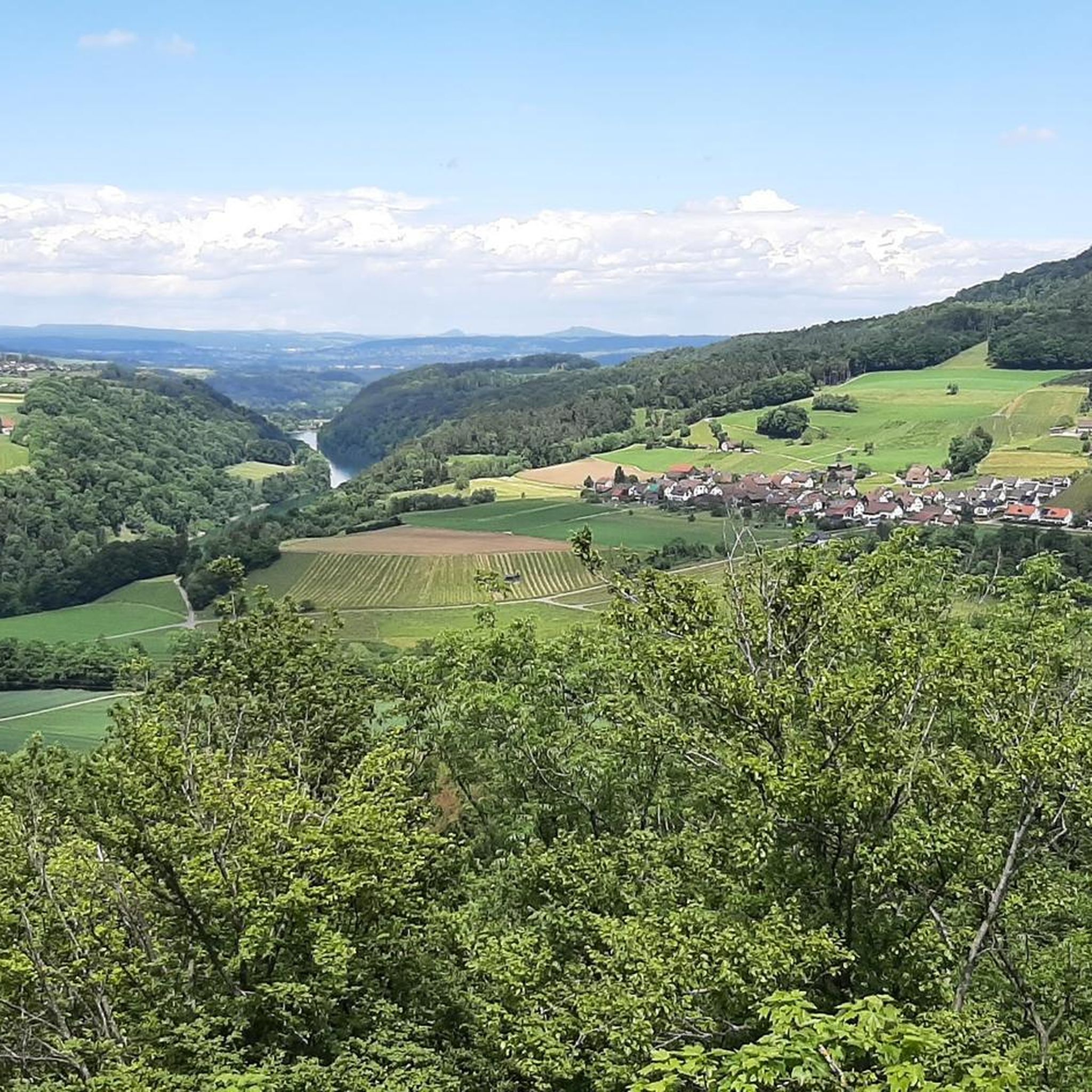
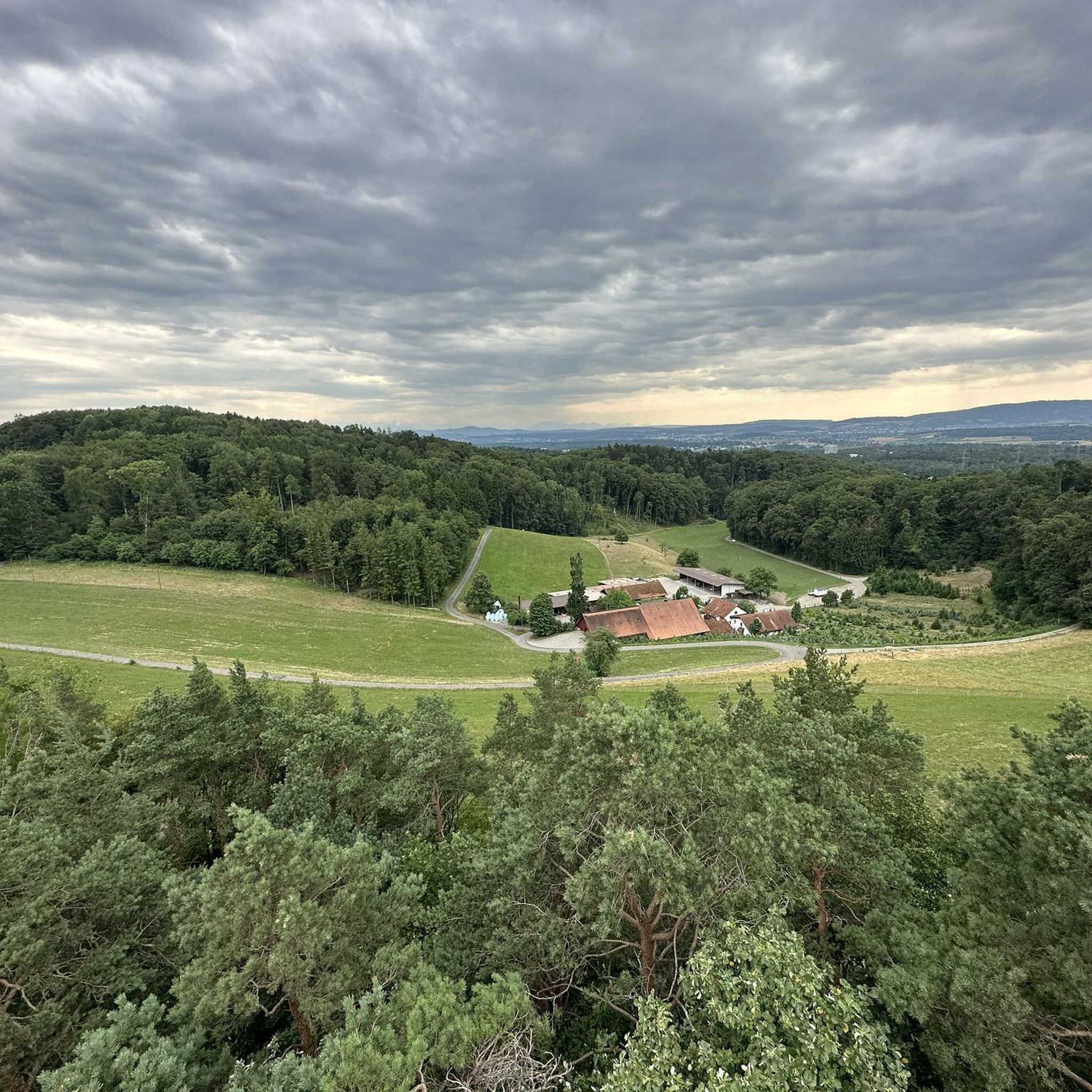
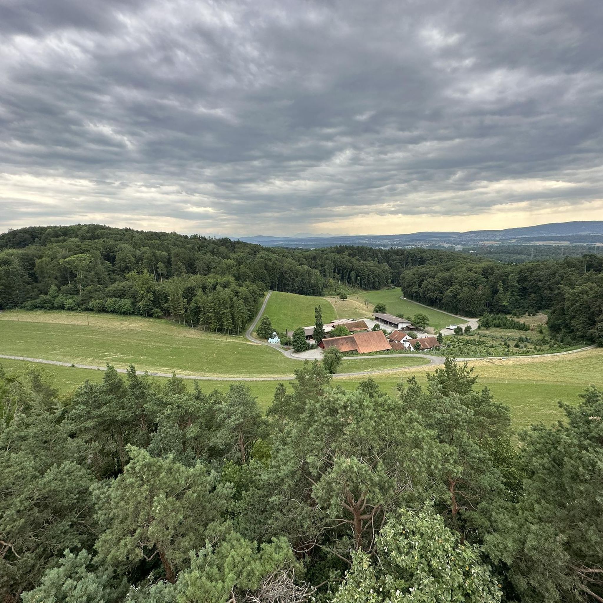

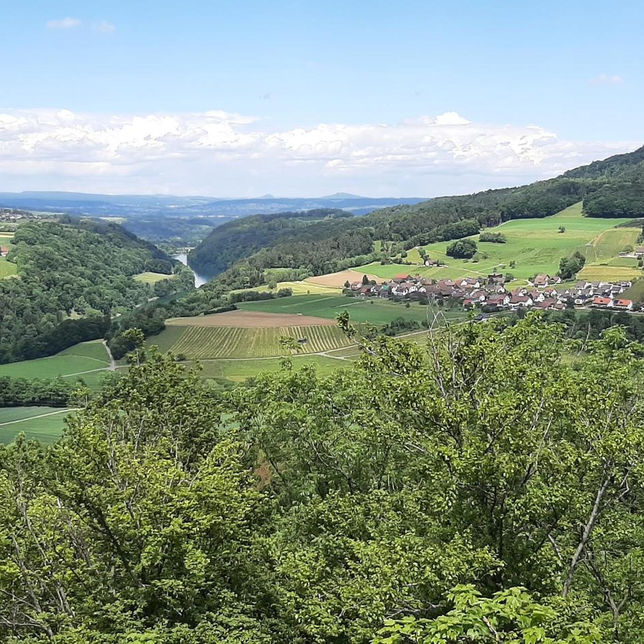
Tips from the Community

Great cycle path, super beautiful region
0
0

The pond owes its existence to groundwater, which is forced to rise through a watertight obstacle. The rising groundwater stirs up fine, light sand, interspersed with white snail shell debris, which was used as writing sand until the beginning of the last century. Legend of the "Goldig Tor" (short version according to Meinrad Lienert) Once upon a time a shepherd boy was tending sheep at the pond. It was a glorious foehn day and the boy lay down on the bank with his eyes heavy with dreams. Suddenly a maiden emerged from the pond up to her shoulders. She lured him with a golden ring on her hand. The boy tried to grab the ring and leaned over the water. Suddenly the maiden took him in both arms and sank with him. He had barely disappeared when his farmer rushed over, because he had heard his shepherd boy cry out. But he could not see his little shepherd anywhere. Suddenly it shot up like a candle from the golden sand whirlpool in the pond in front of him. He quickly pulled it to the bank. After a while the boy opened his eyes and began to tell what had happened to him: "The water maiden pulled me into an infinite depth. Suddenly I saw a mighty city with a huge golden gate. It just opened wide and a beautiful maiden stepped out. Now the maiden, who was holding me in her arms, opened her arms to greet her friend. At the same moment a whirlpool grabbed me and pulled me up with it. I don't know anything else." The shepherd boy returned to the pond again and again, but he never met the beautiful maiden again. Thanks to his story, however, we now know where the gold flakes in the water come from: they are washed off the golden gate and carried to the surface (content from the information board).
4
0

Great view with barbecue area, can be easily connected to the Irchelturm.
3
0

This nature reserve is home to one of the last fens in Switzerland. The landscape here is all the more worthy of protection. Many bird species in particular have their home here.
1
0

The entire perimeter around the Neeracherried is a very good asphalted cycleway or an asphalted road with cycle traffic. There is a nature center which has a lookout tower for observing waterfowl and migratory birds.
1
0

Beautiful nature reserve with observation station. Recommended.
3
0
Frequently Asked Questions
What are some unique natural features to explore around Rorbas?
The region around Rorbas offers diverse natural features. You can explore Weiacher Höhe, a 547-meter-high molasse mountain with views extending to the Alps in winter. Another unique spot is Golden Gate, a pond formed by rising groundwater, known for its clear water and fine, light sand. The Thurspitz (Confluence of Thur and Rhine) allows you to observe the meeting point of two significant rivers.
Are there family-friendly natural monuments or trails near Rorbas?
Yes, several natural spots are suitable for families. The Golden Gate pond is considered family-friendly. Additionally, the Glatt River Trail, though not a specific highlight in the data, offers beautiful wide paths along the river that are generally accessible for all skill levels and include picnic areas, making it ideal for leisurely family outings.
Where can I find impressive viewpoints of the landscape around Rorbas?
For panoramic views, head to Weiacher Höhe, where on clear days, especially in winter, you can see as far as the Alps. The Irchel Tower in the Irchel area, though man-made, also provides a 28-meter-high platform with breathtaking views across the wine country to the Alps and the Flaach Valley.
What kind of terrain can I expect on trails around Rorbas's natural monuments?
The terrain varies significantly. At Weiacher Höhe, you'll find a molasse mountain with striking rock faces and a plateau. The Irchel area features a table mountain with dark forested slopes and sunnier, vineyard-covered sides, including steep Nagelfluh rock formations. The Glatt River Trail, on the other hand, offers mostly paved or wide paths along the river, with sections diverging into forests.
What outdoor activities can I do near these natural monuments?
The region around Rorbas is excellent for various outdoor activities. You can enjoy running on trails like the 'Hohle Gasse – Hochwacht Irchel viewpoint loop' or 'Blindensteg loop' (find more at Running Trails around Rorbas). Road cycling routes, such as the 'Thur Bridge – Eglisau Rhine Bridge loop,' are also popular (explore more at Road Cycling Routes around Rorbas). For general cycling, routes like 'Rheinau Covered Bridge – Glatt Riverside Path loop' are available (see Cycling around Rorbas).
Are there specific hiking trails near the natural monuments?
Yes, the Irchel area is crisscrossed with hiking trails, making the Irchel Tower accessible from various directions. The Irchel Nature Trail, approximately three kilometers long, guides visitors through diverse ecosystems within Irchel Park. The Glatt River Trail also provides wide paths suitable for walking and hiking along the river.
What is the best time to visit the natural monuments around Rorbas?
The best time to visit depends on your interests. For the most expansive views from Weiacher Höhe, winter is ideal when deciduous trees are bare, allowing views as far as the Alps. Generally, spring and autumn offer pleasant temperatures for hiking and cycling along the Glatt River Trail or exploring the Irchel area.
Can I find any waterfalls or gorges in the area?
Yes, the Affenschlucht Waterfall, located behind the former spinning mill Hard in Wülflingen, offers an impressive sight with its waterfall and sandstone tubs. It's a surprising natural landscape within an urban area.
What do visitors particularly enjoy about the natural monuments near Rorbas?
Visitors appreciate the diverse natural beauty and the opportunities for outdoor recreation. Many enjoy the far-reaching views from elevated points like Weiacher Höhe, especially in winter. The tranquil setting of places like Golden Gate and the unique sight of the Thurspitz river confluence are also highly valued. The accessibility and natural vegetation of the Glatt River Trail make it a popular choice for leisurely activities.
Is there a place of geographical significance in the region?
Yes, you can visit the Geodetic Center of the Canton of Zurich. This spot, marked by a striking stone pillar, offers fantastic panoramic views of the Alps and the Black Forest on clear days, with a panoramic board to help identify peaks.
Are there opportunities for wildlife spotting around Rorbas's natural monuments?
The Irchel Park, part of the broader Irchel area, is recognized for its significant biodiversity and is home to a host of indigenous plant and animal species, including those found in grasslands, wetlands, and woods. The Glatt River Trail also offers opportunities to observe beautiful and rare animals and plants within its natural vegetation along the river.
Most popular attractions around Rorbas

Get inspired with the komoot mobile app


Explore more
Extend your search for the best caves by checking out these guides of the top ones around Rorbas:
