Top 7 Mountain Passes in the Chungyang Mountains
Best mountain passes in the Chungyang Mountains are primarily found within Taiwan's Central Mountain Range, a significant geological feature with numerous peaks exceeding 3,000 meters. This region is characterized by high-elevation terrain, challenging climbs, and extensive natural landscapes. Visitors can explore scenic routes that traverse deep gorges and lead to high mountain saddles, offering diverse outdoor experiences. The area provides opportunities for cycling, hiking, and enjoying alpine scenery.
Best mountain passes in the Chungyang Mountains
- The most popular mountain pass…
Last updated: July 10, 2026
Taroko Gorge Highway
Highlight • Gorge
Translated by Google •
Tip by

Tataka Trailhead
Highlight • Trail
Tip by

Sign up now to discover places like this
Get recommendations on the best single tracks, peaks, & plenty of other exciting outdoor places.
Sign up for free
Summit of Wuling Pass
Highlight • Mountain Pass
Translated by Google •
Tip by

Yushan Main Peak Trail
Highlight (Segment) • Trail
Tip by
Qingjing Farm to Wuling Pass
Highlight (Segment) • Mountain Pass
Tip by

Nadja Pass, 458 meters
Highlight • Mountain Pass
Translated by Google •
Tip by
Tea Cup Mountain Pass (380 m)
Highlight • Mountain Pass
Translated by Google •
Tip by
Start today with a free account
Your next adventure awaits.
Login or Signup
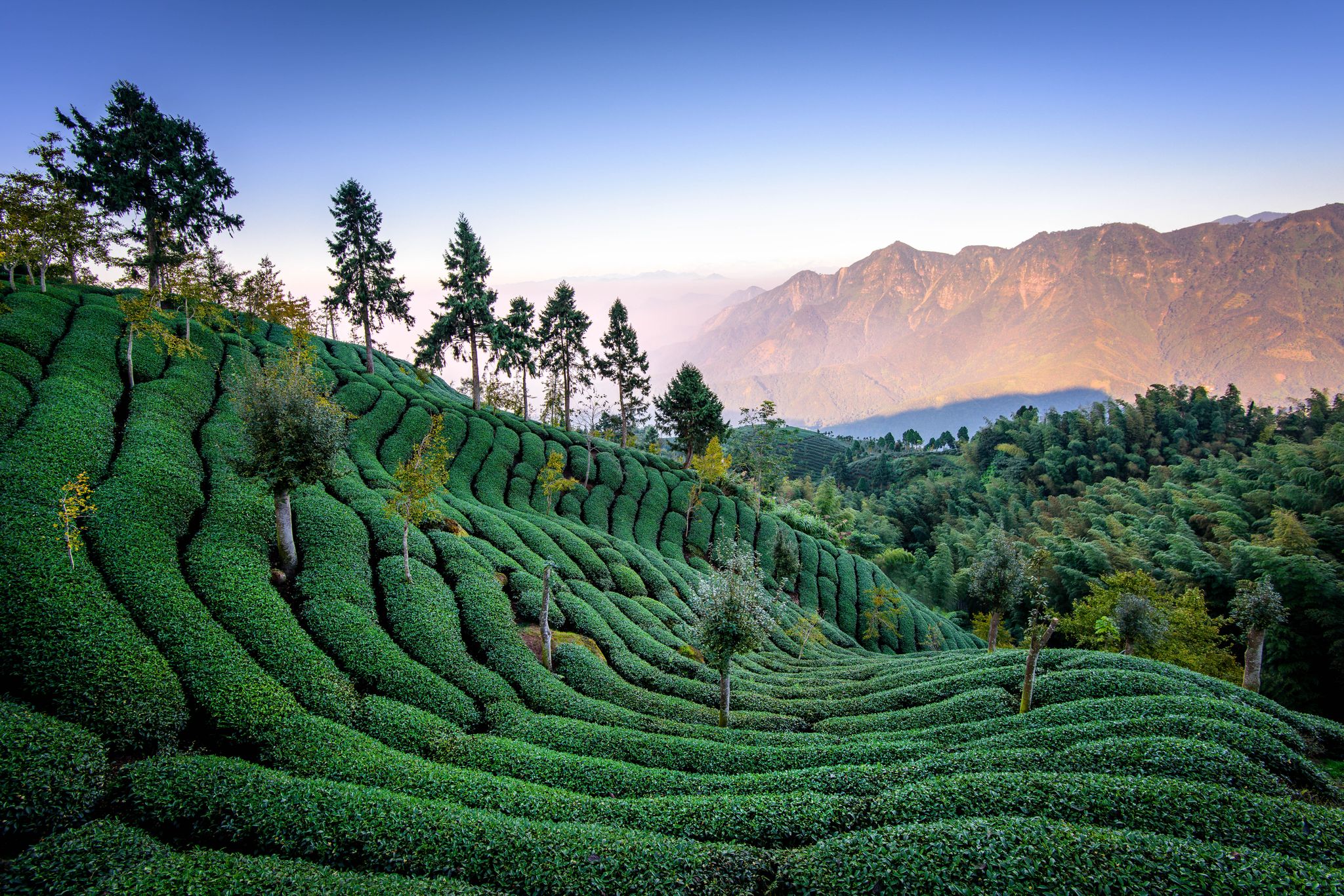
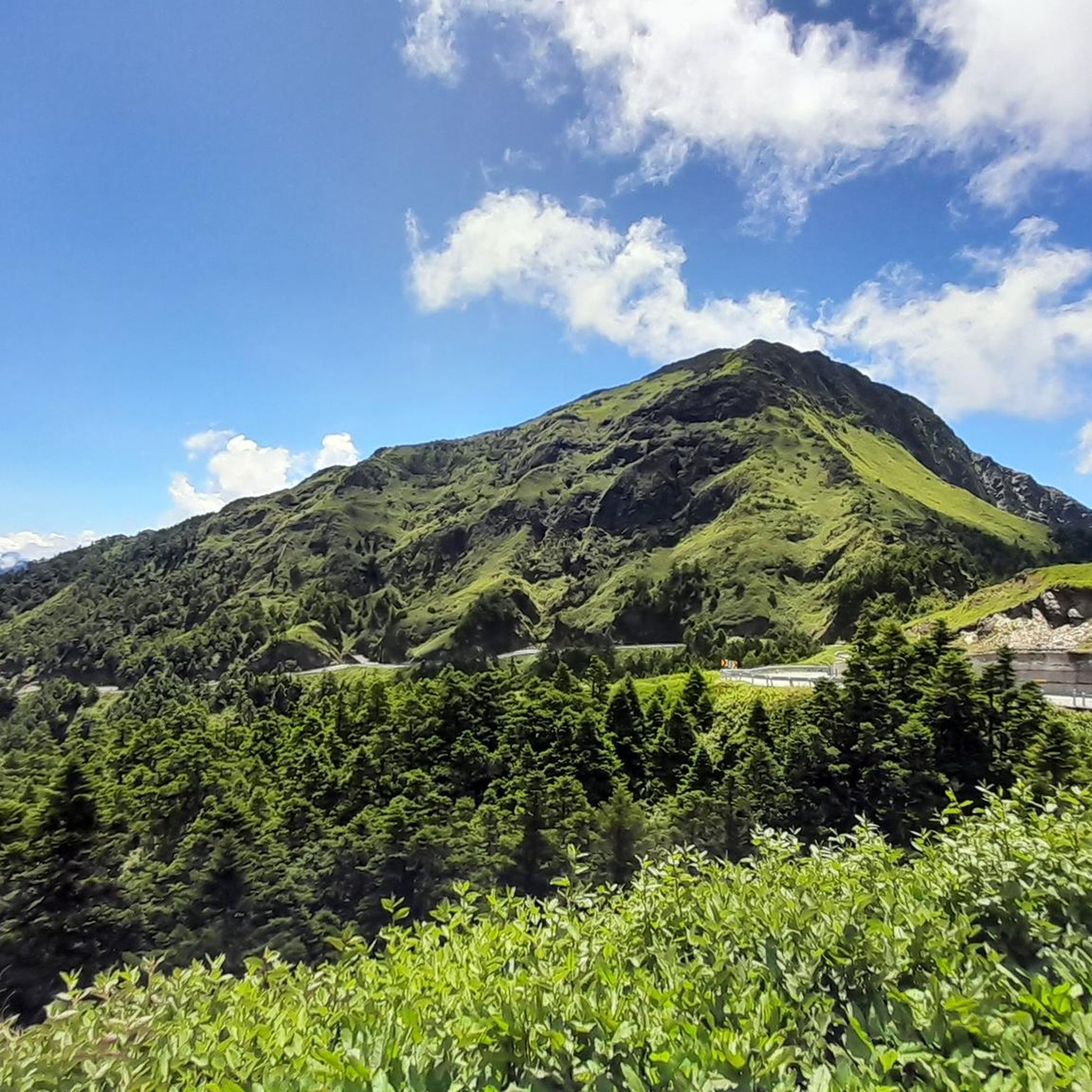
Other adventures in the Chungyang Mountains

Tips from the Community

A monkey. He runs from right to left across the road, punching his way between his legs with his fists, pushing himself forward from the asphalt. After a few seconds, he's past me, disappeared from sight, back into the densely growing green forest. I doubt my cognitive abilities. I have to laugh, even though I have no breath to waste. I'm somewhere between sea level and 3,275 meters. I'm in the middle of the most impressive climb I've ever ridden. It's one of the longest any road cyclist can ride: the Wuling Pass in Taiwan. The facts: 3,410 meters of elevation, from zero to 3,275 meters without any significant interruptions. 85 kilometers, from the east coast of Taiwan on the North Pacific through Taroko National Park, through the jungle to the verdant heights of the pass. It's a pass that can't be grasped in the dimensions in which cyclists usually describe their mountain tours. Because what I'm telling you about the Wuling Pass is this: The last 15 kilometers were very tough. That means: 15 kilometers of uphill are just the – hard, hard, hard – finale of the climb. That means: Before that, there were already 70 kilometers of uphill. 85 kilometers alone make the journey worthwhile. Source: Radsport-Rennrad.de
0
0
A not too demanding mountain with a maximum gradient of 7%, can be ridden from both sides without major climbs and effort
0
0
A beautiful climb with fantastic views of the bay and the jungle. Highly recommended. There are various refreshment options along the approach road down in the valley and about two-thirds of the way down.
0
0

A great starting point for many beautiful tours! Highly recommended!
2
0

20km stretch to the highest road in Taiwan (Wuling) from the Puli site. After Quingjing Farm the road gets quieter, narrower and spectacular. For the full experience time the trip to finish at Songsyue Lodge for warm dinner and overnigh stay at 3100m. (advance booking required).
1
0
The name of the highlight is not very helpful, but this is the famous Taroko Gorge Highway. Amazing climb all the way to Wuling that tops at above 3000m. It is long, but not too steep (until the last section from Dayuling). Make sure to check if the road is opened as landslides are somewhat common. Go early in the morning and remember to look up from the handlebars :)
0
0

Great ascent with great views. Very demanding towards the top.
0
0

Yushan Mountain Range consists of eleven peaks which are the main peak, front peak, east peak, west peak, south peak, northern peak, north by northern peak, Lu Mountain, East Xiaonan Mountain, Xiaonan Mountain, and Nanyu Mountain. Their arrangement forms a double-cross, with the main peak of Mt. Jade being in the center. Except for the north by northern peak and Xiaonan Mountain, they are all listed as part of the 100 Peaks of Taiwan. They are all mountain hiking enthusiasts' conquests, and the main peak of Mt. Jade is especially a hiking route for fans of local and abroad. This trail, starting from Tataka Trailhead, is about 61.2 kilometers long, and the elevation is more than 3,000 meters. Mountain hikers need to possess a lot of knowledge, skills, physical strength, and endurance. The towering main peak, the steep cliff of the east peak, and the distance of Lu Mountain route are especially challenging and can prove an adventurous trip. The Yushan massif is known as the ridge of Taiwan. It is shaped like a resting dragon, and looks magnificent and powerful. This route winds eastward from the saddle of Tataka at the end of the western edge of Mt. Jade. The forests and vegetation along the way change with different elevations. There are spruce trees, hemlock trees, fir trees, Yushan junipers, rhododendron, and a variety of alpine grass. Flowers and plants sway colorfully along the roadside despite the harsh environments. The Temple of the Mountain God on the top of the west peak has a wide coverage of white wood forests and cliffs, gravel slopes of the main peak, grass slopes of Xiaonan Mountain, and the sea of rhododendron by the northern saddle are the features of this route. The tops of peaks are covered with white snow in the winter for a beautiful look.
0
0
Frequently Asked Questions
What are some of the most challenging mountain passes in the Chungyang Mountains?
The Chungyang Mountains, primarily referring to Taiwan's Central Mountain Range, are known for their challenging climbs. The Summit of Wuling Pass is particularly notable as the highest paved road pass in Taiwan, reaching 3,275 meters. The climb to Wuling Pass, especially the 85-kilometer route from the east coast through Taroko National Park, involves over 3,410 meters of elevation gain. Another demanding route is the Taroko Gorge Highway, which features a significant ascent with extensive views, climbing above 3,000 meters.
Are there any mountain passes suitable for beginners or less experienced hikers/cyclists?
While many passes in the Chungyang Mountains are challenging, there are options for varying skill levels. For those seeking less extreme elevations, passes like Tea Cup Mountain Pass (380 m) and Nadja Pass (458 meters) offer intermediate climbs at lower altitudes. For hiking, consider exploring easy routes in the region, such as those found in the Easy hikes in the Chungyang Mountains guide, which include trails like the Shuangliu National Park Waterfall Trail.
What kind of views and natural features can I expect at the mountain passes?
The mountain passes in the Chungyang Mountains offer breathtaking panoramic views and diverse natural landscapes. At the Summit of Wuling Pass, you can often see Taiwan's highest peaks rising above a sea of clouds. The Tataka Trailhead, at 2,610 meters, provides views of Mt. Jade to the east and Alishan to the west, situated on a long, narrow grassland ridge. Along trails like the Yushan Main Peak Trail, you'll encounter changing forests and vegetation, including spruce, hemlock, fir, and rhododendrons, with snow-covered peaks in winter.
What outdoor activities are popular near the mountain passes in the Chungyang Mountains?
The region offers a wide range of outdoor activities. Cycling is very popular, especially on challenging routes like the one to Wuling Pass. Hiking is also a major draw, with numerous trails available. For more detailed information on routes, you can explore guides such as Mountain Hikes in the Chungyang Mountains and Cycling in the Chungyang Mountains. These guides feature routes like the challenging 合歡山北峰 – 合歡山西峰 loop and scenic cycling around Sun Moon Lake.
Are there any historical or cultural sites associated with the mountain passes?
While the primary focus of the Chungyang Mountains (Taiwan's Central Mountain Range) is on natural beauty and challenging climbs, the region has historical significance related to indigenous communities and early exploration. The Central Mountain Range itself has been a natural barrier and a pathway for various groups throughout history. Specific passes might have local historical markers or stories, but the main draw remains the natural landscape and outdoor activities.
What is the best time of year to visit the mountain passes in the Chungyang Mountains?
The best time to visit depends on your planned activities. Spring (for rhododendron blooms) and autumn (for clear skies and pleasant temperatures) are generally popular for hiking and cycling. Winter offers a unique experience with occasional snow on higher peaks, such as those along the Yushan Main Peak Trail, but requires appropriate gear and caution due to colder weather and potential road closures. Always check weather conditions and road status before your trip, especially for high-altitude passes.
Are there family-friendly options for exploring the mountain passes?
While many high-altitude passes present significant challenges, there are family-friendly options in the broader Chungyang Mountains region. Lower elevation areas and national parks often have easier trails suitable for families. For instance, the Easy hikes in the Chungyang Mountains guide lists routes like the Shuangliu National Park Waterfall Trail and various loops around Sun Moon Lake, which are generally suitable for families.
What should I know about permits or regulations for hiking in the Chungyang Mountains?
For certain high-altitude trails and national park areas, such as those leading to Mt. Jade (Yushan), permits are often required. The Yushan Main Peak Trail, for example, requires permits due to its challenging nature and protected status. It's crucial to research and apply for necessary permits well in advance of your trip, as quotas can be limited. Always check the official national park websites for the most up-to-date regulations.
Can I find accommodation or amenities near the mountain passes?
Yes, especially near more popular passes and trailheads. For instance, if you're cycling the Qingjing Farm to Wuling Pass route, you can plan to finish at Songsyue Lodge for a warm dinner and an overnight stay at 3100m, though advance booking is required. Areas like Qingjing Farm itself offer various accommodations and dining options. Near major trailheads like Tataka Trailhead, you might find visitor centers with basic amenities. However, amenities become scarcer at higher, more remote passes.
What kind of wildlife might I encounter in the Chungyang Mountains?
The diverse ecosystems of the Chungyang Mountains support a variety of wildlife. While specific sightings are never guaranteed, the region is home to numerous bird species, insects, and mammals. On the Wuling Pass, visitors have reported seeing monkeys. The forests along trails like the Yushan Main Peak Trail provide habitats for various animals, though many are shy and elusive. Respecting wildlife and maintaining a safe distance is always recommended.
Are there any circular routes or loop trails around the mountain passes?
Yes, the region offers several loop trails, particularly for hiking. For example, the Mountain Hikes in the Chungyang Mountains guide includes routes like the 合歡山北峰 loop from Shimenshan and the more challenging 合歡山北峰 – 合歡山西峰 loop. For easier options, the Easy hikes in the Chungyang Mountains guide features loops around Sun Moon Lake, such as the Nine Frogs Stack loop.
How do I get to the mountain passes, and is public transport available?
Access to the mountain passes in the Chungyang Mountains often involves a combination of private vehicle and public transport. For major passes like Wuling Pass, roads are well-maintained, making them accessible by car or motorcycle. Public bus services operate to some popular areas and trailheads, but direct access to all passes via public transport can be limited, especially for more remote locations. It's advisable to check local transport schedules and options for your specific destination in advance.
Most popular routes in the Chungyang Mountains
Most popular attractions in the Chungyang Mountains

Get inspired with the komoot mobile app


Explore more
See even more epic mountain passes by checking out these guides in the Chungyang Mountains:
