Top 20 Natural Monuments in Utena County
Natural monuments in Utena County are characterized by a diverse landscape of forests, hills, and numerous lakes, making it a significant region for Lithuania's natural heritage. This area, particularly within Aukštaitija National Park, offers a variety of geological and ecological features shaped by glacial activity. The region is home to over a thousand lakes and vast pine forests, providing habitats for diverse wildlife. Utena County's natural sites offer insights into both the geological processes and the rich biodiversity of northeastern…
Last updated: October 13, 2026
Cibaragis Peninsula
Highlight • Viewpoint
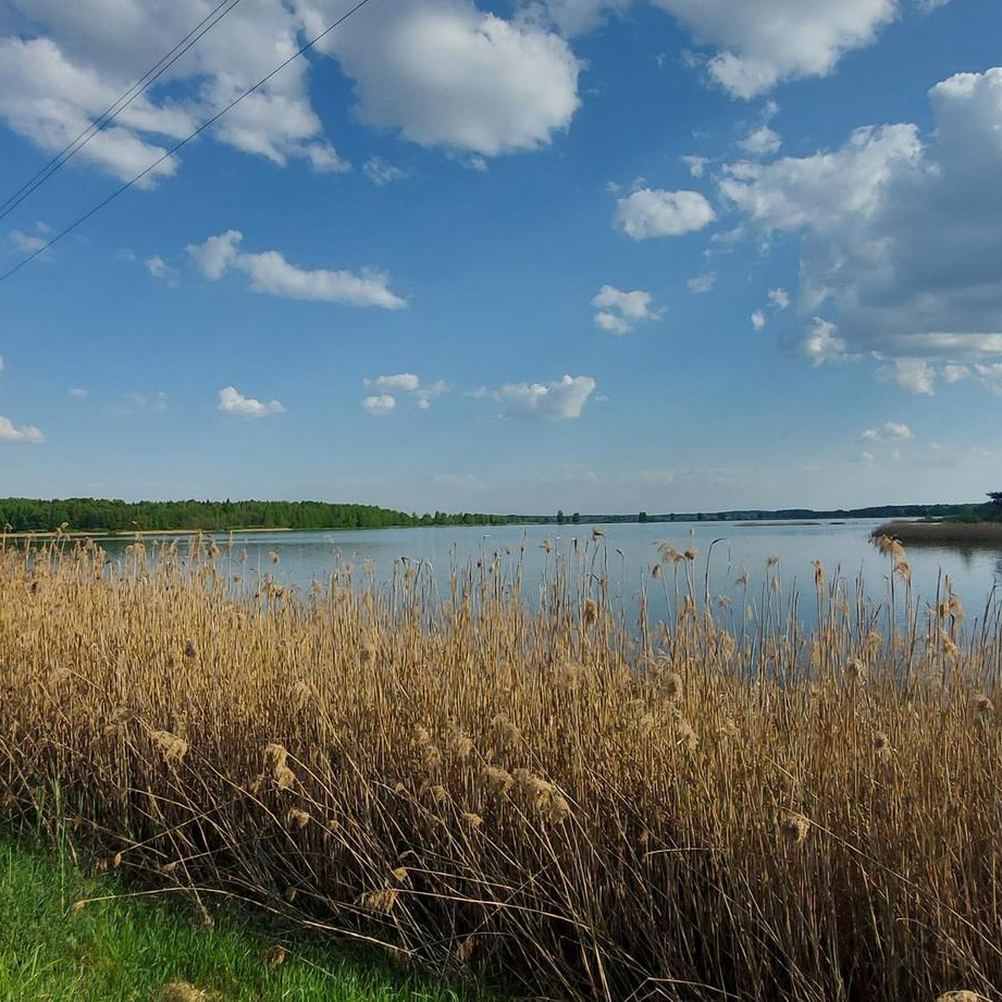
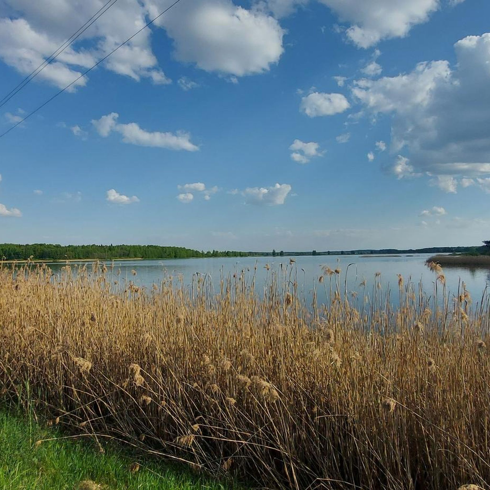
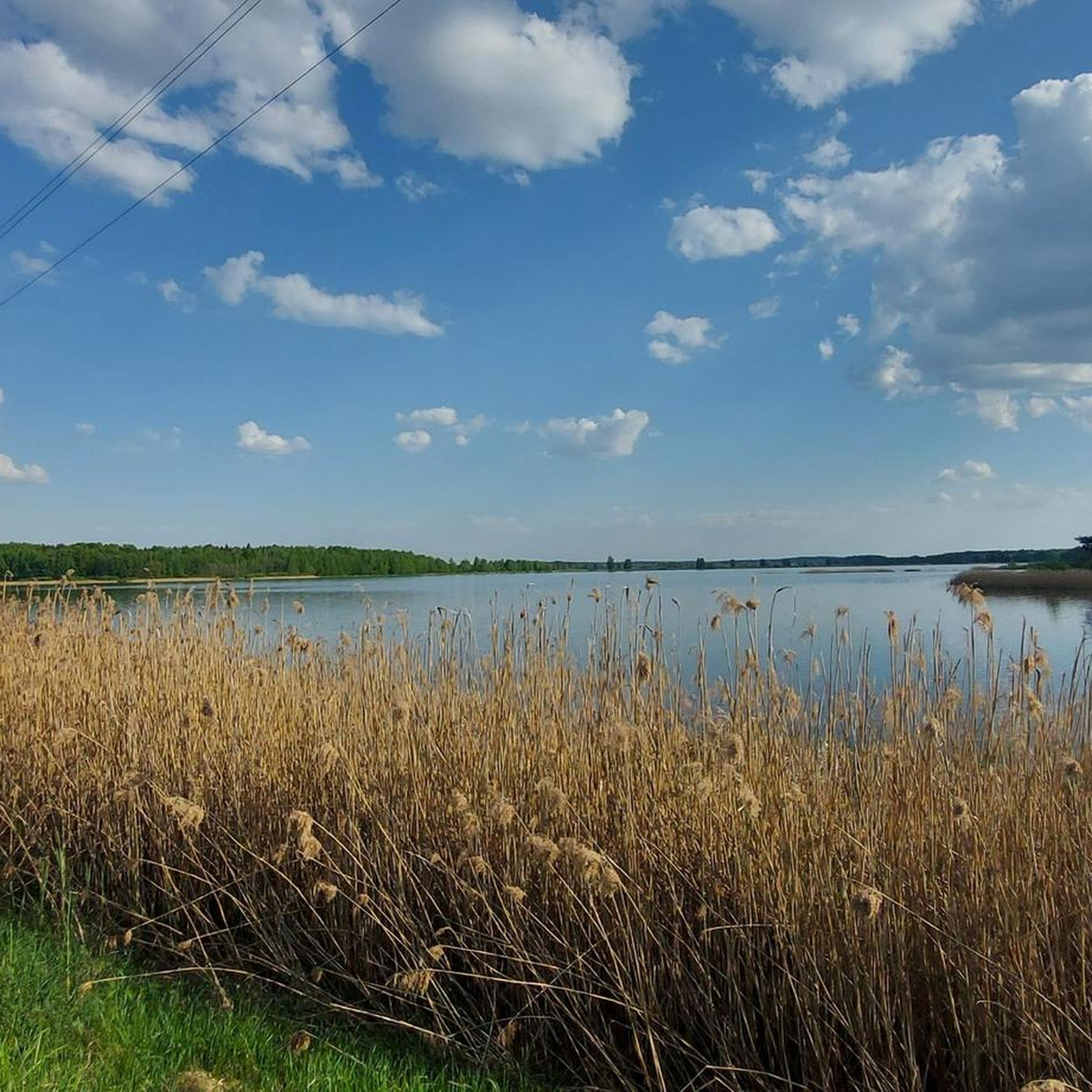
There is a nice, slightly windy, so mosquito-free 😅 rest area with a view over the …
Tip by

Ladakalnis Viewpoint
Highlight • Viewpoint
Tip by

Sign up now to discover places like this
Get recommendations on the best single tracks, peaks, & plenty of other exciting outdoor places.
Gulbinės Lime Trees
Highlight • Natural Monument
Translated by Google •
Tip by
Trainiškis
Highlight • Settlement
Translated by Google •
Tip by

Rėkučiai Defensive Rampart
Highlight • Historical Site
Translated by Google •
Tip by
Tauragnai Hillfort
Highlight • Historical Site
Translated by Google •
Tip by
Mokas Boulder
Highlight • Natural Monument
Translated by Google •
Tip by
Girutiškiai Inscribed Stone
Highlight • Monument
Translated by Google •
Tip by
Twin-Trunk Pine
Highlight • Natural Monument
Translated by Google •
Tip by

Stelmužė Oak
Highlight • Natural Monument
Translated by Google •
Tip by
Sign up for free to discover even more natural monuments in Utena County.
Already have an account?
Start today with a free account
Your next adventure awaits.

Tips from the Community

Nice hike on a peninsula. The paths are very well maintained.
0
0

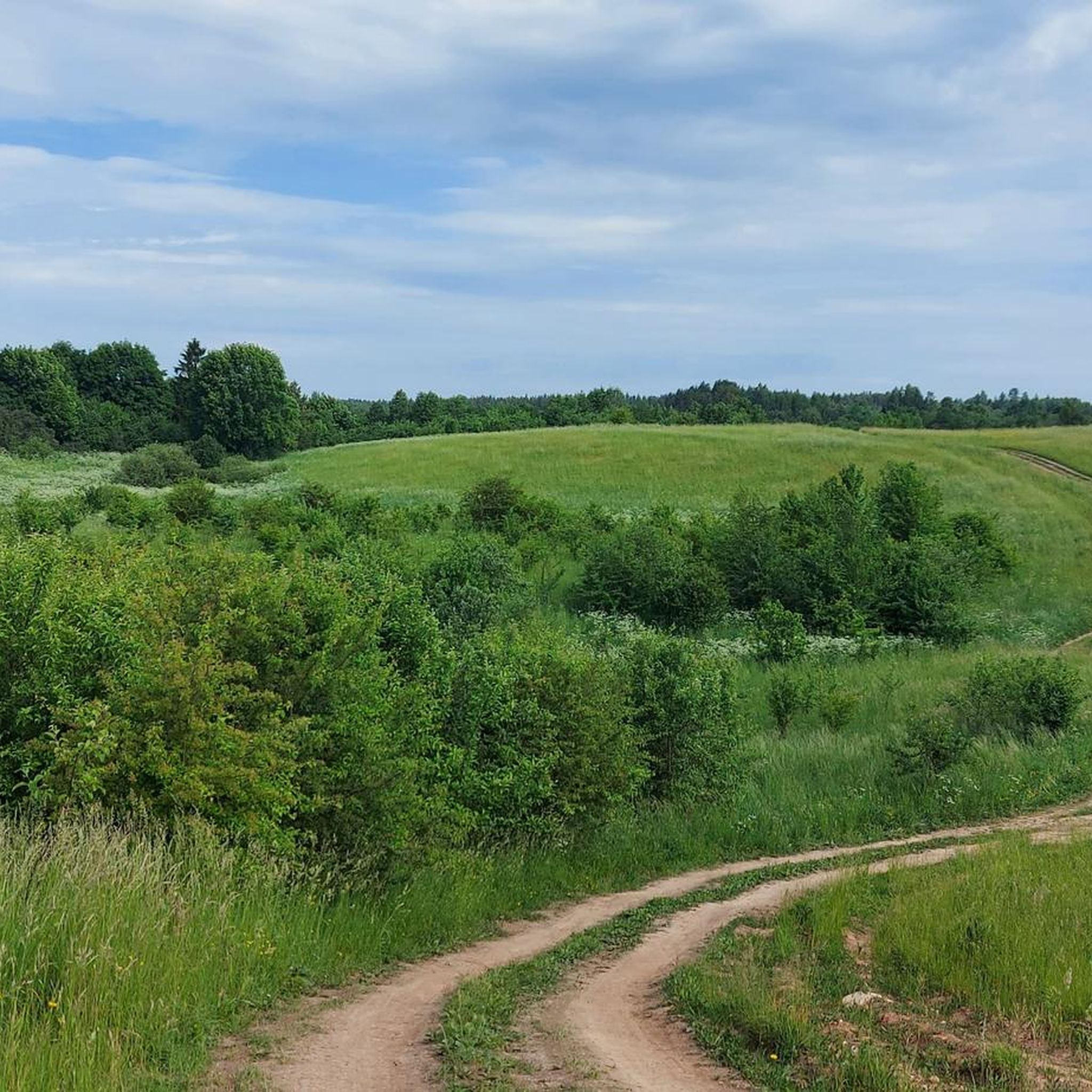
There is a wonderful view from this small hill, which is almost a mountain by local standards.
0
0

It is a flat gray granite, 90x110 cm in size. An equilateral 5 cm cross is carved on the stone, under it - the date 1554. Below are the letters "Mocel-Pel Z". Between these letters is a 43 cm long cross carved, which ends at the bottom with a semicircle facing the cross, and a 20 cm diameter circle with a 4.5 cm cross branching downwards. On the left of this circle are the letters ON, and on the right - RI. The name and surname of Motiejus Petkevičius ("Mocel-Pel Z"), who owned a manor in the Salakas area, may be carved on the Girutiškės stone. The signs found on the stone are an ancient coat of arms (possibly the Petkevičius family of the Salakas manor house). It is said that in 1939, Polish soldiers, when they lifted the stone, found a double-edged sword under it.
3
0

The Tauragnai mound is located in the middle part of a separate hill. A site with a slight cultural layer. At the northern end of the site, the first embankment 0.4 m high from the site was poured, behind which a 25 m long, 4.5 m deep ditch was dug from this embankment. A second embankment 0.5 m high was poured behind this ditch, behind which a second ditch 0.5 m deep and 2 m wide was dug. Behind this ditch is a third rampart. To the north of the mound is a foothill settlement with a highly degraded cultural layer. The mound has not been explored, it dates back to the 1st millennium - the beginning of the 2nd millennium.
0
0
It is a defensive embankment about 830 meters long and 1 meter high, with a 5-meter-wide ditch dug in front of it. The fortification starts at the swampy bay of Lake Žeimenis, goes uphill and continues through the forest to the meadows near Lake Vajuonis. The embankment was used in the 12th - 13th centuries, then a barrier made of pine logs stood on it.
1
0

The oldest and thickest common oak growing in Lithuania, one of the oldest oaks in Europe, a natural monument of Lithuania. The oak is about 1,500 years old, its diameter is 3.5 m, its height is 23 m, its girth at the ground is 13 m (it takes 8-9 men to girth the trunk).
2
0
A man named Moka lived in ancient times. He had a wife and a son. Moko's family was hardworking and worked for the whole family. However, frustrated by people's laziness, Mok became upset and stopped working himself. People started to get angry with him, so Moku had to move elsewhere. Together with his wife and son, he left for the north. However, the way was blocked by Lake Tauragno, which had to be crossed. Mok taught his wife and son not to turn and not look back while swimming. The son asked, but the student did not ask and drowned. Crying Mok, who landed on the shore and stood there until he was petrified. And now he is still standing in that place. And Mokienė remained at the bottom of Tauragnos - a large stone, on which fishermen often tear their nets.
1
0
Frequently Asked Questions
What types of natural monuments can I explore in Utena County?
Utena County offers a diverse range of natural monuments, including ancient trees like the Gulbinės Lime Trees, unique geological formations such as the Šeimyniškiai rock formations, and numerous scenic viewpoints over its many lakes. The region is characterized by vast forests and a thousand lakes, shaped by glacial activity.
Are there any significant lakes considered natural monuments in Utena County?
Yes, Utena County is home to several remarkable lakes. Lake Tauragnas is Lithuania's deepest and highest-altitude lake, known for its clear waters and steep, forested banks. Lake Asveja, also called Dubingiai Lake, is the longest lake in Lithuania, featuring a winding glacial basin and impressive forested slopes.
Which natural monuments are particularly good for panoramic views?
For breathtaking panoramic views, visit Ladakalnis Viewpoint within Aukštaitija National Park. This former shrine offers a stunning vista of six different lakes from its 176-meter height. The Cibaragis Peninsula also provides a nice rest area with views over the lake.
Can I find family-friendly natural monuments in Utena County?
Absolutely. Many natural monuments in Utena County are suitable for families. The Cibaragis Peninsula offers well-maintained paths for easy walks, and Ladakalnis Viewpoint is accessible for families to enjoy the scenic views. The Gulbinės Lime Trees also make for an interesting and easy-to-visit natural site.
What historical or cultural sites are integrated with the natural monuments?
The region beautifully blends natural beauty with history. The Ladakalnis Viewpoint is a former pagan sacrificial site. The Ginučiai Watermill, while an engineering monument, is set in a picturesque natural location within Aukštaitija National Park and offers insights into local history and bread making. You can also find historical sites like the Rėkučiai Defensive Rampart and Tauragnai Hillfort near natural settings.
Are there opportunities for wildlife spotting near the natural monuments?
Yes, Utena County, particularly within Aukštaitija National Park, is rich in biodiversity. The park's vast pine forests and numerous lakes provide habitats for animals like deer, elk, fox, and wild boar, as well as various bird species, including golden eagles. Keep an eye out for unique species like the relict glacial fish *Osmerus eperlanus mordax relicta* in Lake Asveja.
What outdoor activities can I do near these natural monuments?
The natural monuments in Utena County are excellent starting points for various outdoor activities. You can enjoy hiking, gravel biking, and mountain biking. For hiking, consider routes like the Cibaragis Peninsula – Cape Sciurys Nature Trail loop. Gravel biking options include routes from Zarasai, while mountain biking trails like the Vilkakalnis Observation Tower loop are also available.
Are there specific hiking trails around the natural monuments?
Yes, there are several hiking trails that allow you to explore the natural monuments. For instance, you can hike the Cibaragis Peninsula – Cape Sciurys Nature Trail loop, or explore the area around the Ginučiai Watermill with the Alksnaičio Lake Bridge – Ginučiai Hillfort loop. Many trails offer stunning views of the lakes and forests.
What makes the Šeimyniškiai rock formations a unique natural monument?
The Šeimyniškiai rock formations are a unique geological natural monument because they consist of unusual, large blocks of conglomerate, formed from clay and small stones. Recognized for their rarity in 2002, they offer a rare opportunity to observe distinct geological features in a region primarily known for its lowlands, providing insight into the area's geological history.
What do visitors enjoy most about the natural monuments in Utena County?
Visitors particularly appreciate the stunning natural beauty and tranquility of the region. The well-maintained paths and scenic views, especially from spots like Ladakalnis Viewpoint, are frequently praised. The opportunity to connect with nature, observe wildlife, and explore historical sites nestled within beautiful landscapes also contributes to a highly enjoyable experience.
Are there any ancient trees designated as natural monuments?
Yes, Utena County protects several ancient trees as natural monuments. The Gulbinės Lime Trees are a notable example, consisting of three linden trees with significant girths, historically believed to possess supernatural properties. Another is the Twin-Trunk Pine, recognized for its unique growth.
Is there a specific natural monument related to ancient beliefs or rituals?
Yes, the Ladakalnis Viewpoint is not only a place of natural beauty but also a former shrine of the Balts, believed to have been a pagan sacrificial site. Additionally, the Gulbinės Lime Trees were worshipped in ancient times, with beliefs that they held supernatural, healing properties and were the abode of goddesses.
Most popular routes in Utena County
Most popular attractions in Utena County

Get inspired with the komoot mobile app


Explore more
Extend your search for the best caves by checking out these guides of the top ones in Utena County:
