Top 12 Mountain Passes around Ennetbürgen
Best mountain passes around Ennetbürgen offer access to the mountainous terrain surrounding Lake Lucerne. This region features prominent peaks and scenic routes rather than traditional high-alpine passes. The landscape is characterized by its proximity to the lake and various elevations, providing diverse hiking and exploration opportunities. These routes often lead to viewpoints and historical sites, connecting different areas of the cantons of Nidwalden and Obwalden.
Best mountain passes around Ennetbürgen
- The most popular mountain passes is Gätterlipass Mountain Lodge,…
Last updated: June 26, 2026
Staffelhöhe
Highlight • Viewpoint
Translated by Google •
Tip by

Rengg Pass
Highlight • Mountain Pass
Translated by Google •
Tip by

Sign up now to discover places like this
Get recommendations on the best single tracks, peaks, & plenty of other exciting outdoor places.
Sign up for free
Gätterli Mountain Inn
Highlight • Mountain Hut
Showing Translation
Tip by

Ächerli Pass
Highlight • Mountain Pass
Translated by Google •
Tip by

Gätterlipass Mountain Lodge
Highlight • Mountain Hut
Translated by Google •
Tip by

Sign up for free to discover even more mountain passes around Ennetbürgen.
Sign up for free
Already have an account?
Start today with a free account
Your next adventure awaits.
Login or Signup
Popular around Ennetbürgen
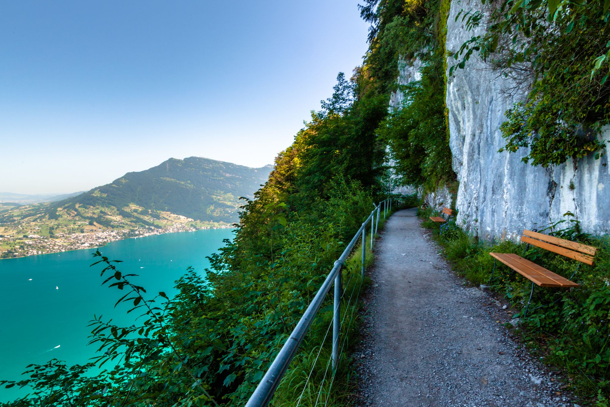
Utterly refreshing – 9 watery hikes in Nidwalden
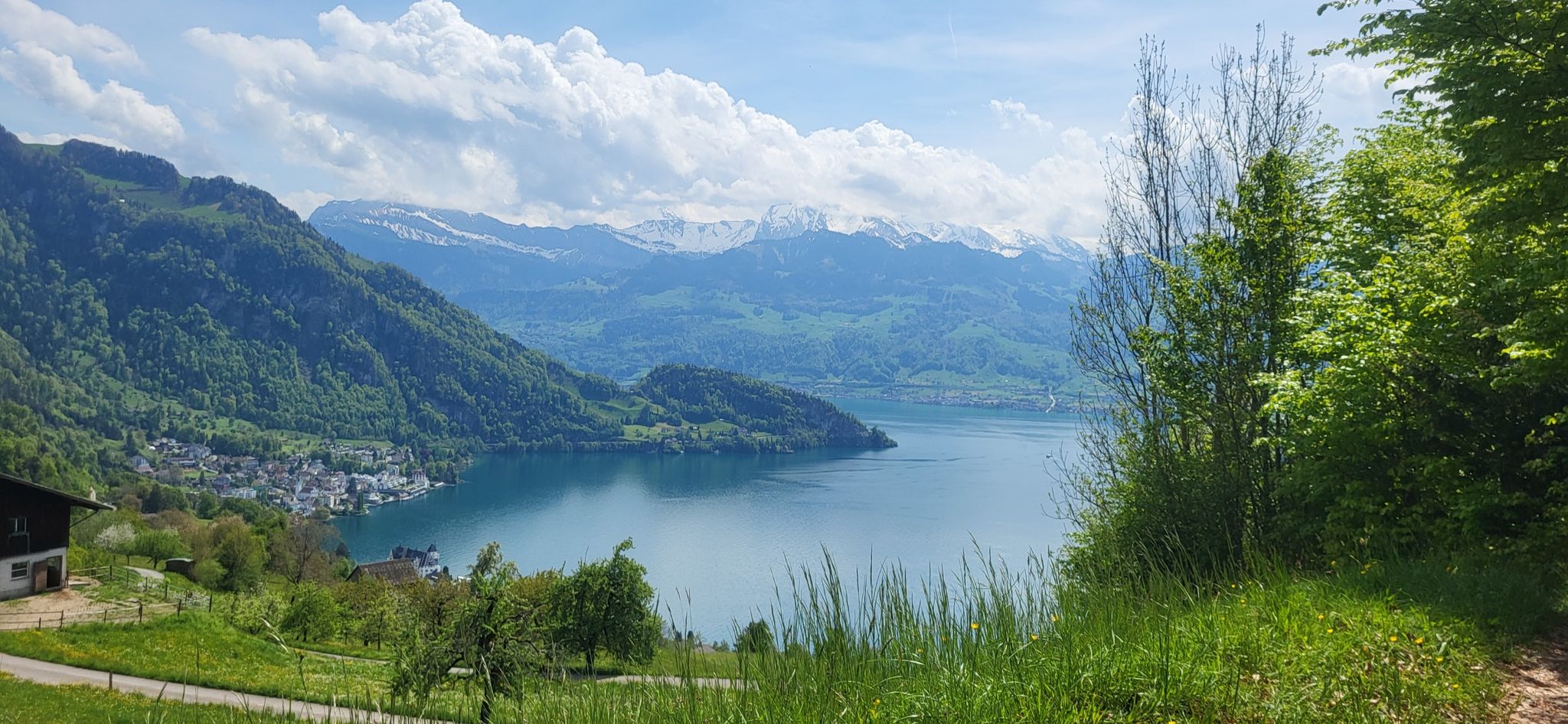
Waldstätterweg – On Route 98 around Lake Lucerne
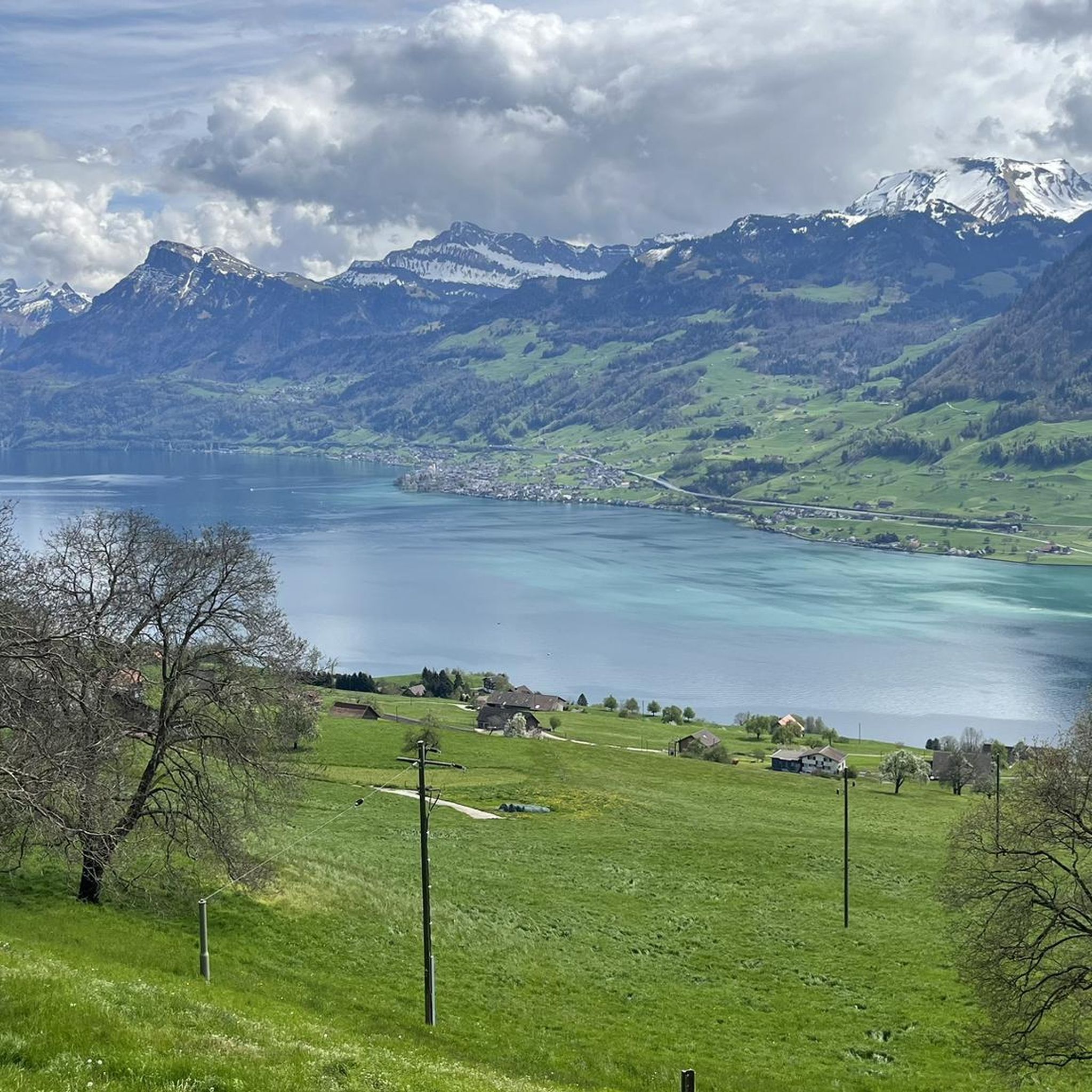
Hiking around Ennetbürgen
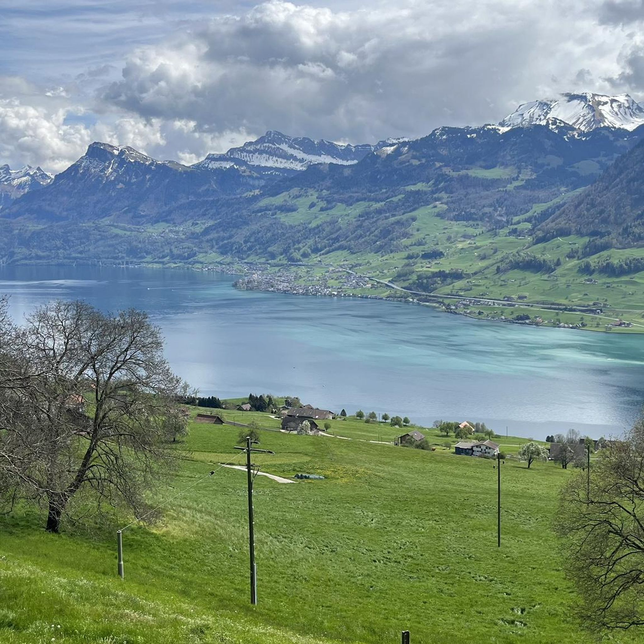
MTB Trails around Ennetbürgen
Cycling around Ennetbürgen
Running Trails around Ennetbürgen
Road Cycling Routes around Ennetbürgen
Gravel biking around Ennetbürgen

Mountain Hikes around Ennetbürgen


Tips from the Community

beautiful landscape here, simply unique
1
0
beautiful landscape here, simply unique
1
0
pretty here, very pretty
1
0

The Rengg Pass connects Hergiswil and Alpnachstad and was once an important mule track. Today, a beautiful hiking trail leads through forests and past historical sites, including the remains of a medieval defensive wall. The pass offers tranquil nature, steep sections, and views of Lake Lucerne and Mount Pilatus – ideal for a short, historically rich hike.
7
0
very pretty here, very pretty
1
1

This is where the cantonal border between Lucerne and Schwyz lies. Originally, the Vitznau Rigi Railway was only allowed to run as far as Staffelhöhe. For a long time, it was not allowed to cross the cantonal border from Lucerne to Schwyz. The reason was that the people of Schwyz wanted to promote the Arth Rigi Railway, which lies on Schwyz soil. It was not until two years later (1873) that the railway was extended to Rigi Kulm (1752 m above sea level). This section lies in the territory of the canton of Schwyz, for which the VRB does not have a concession. The line belongs to the ARB and was leased by the Vitznau-Rigi Railway. It was not until 1990 that a track connection was established between the ARB and VRB in Rigi Staffel. This was the beginning of the merger, which was completed in 1992 and also includes the Weggis–Rigi Kaltbad cable car (LWRK).
1
0

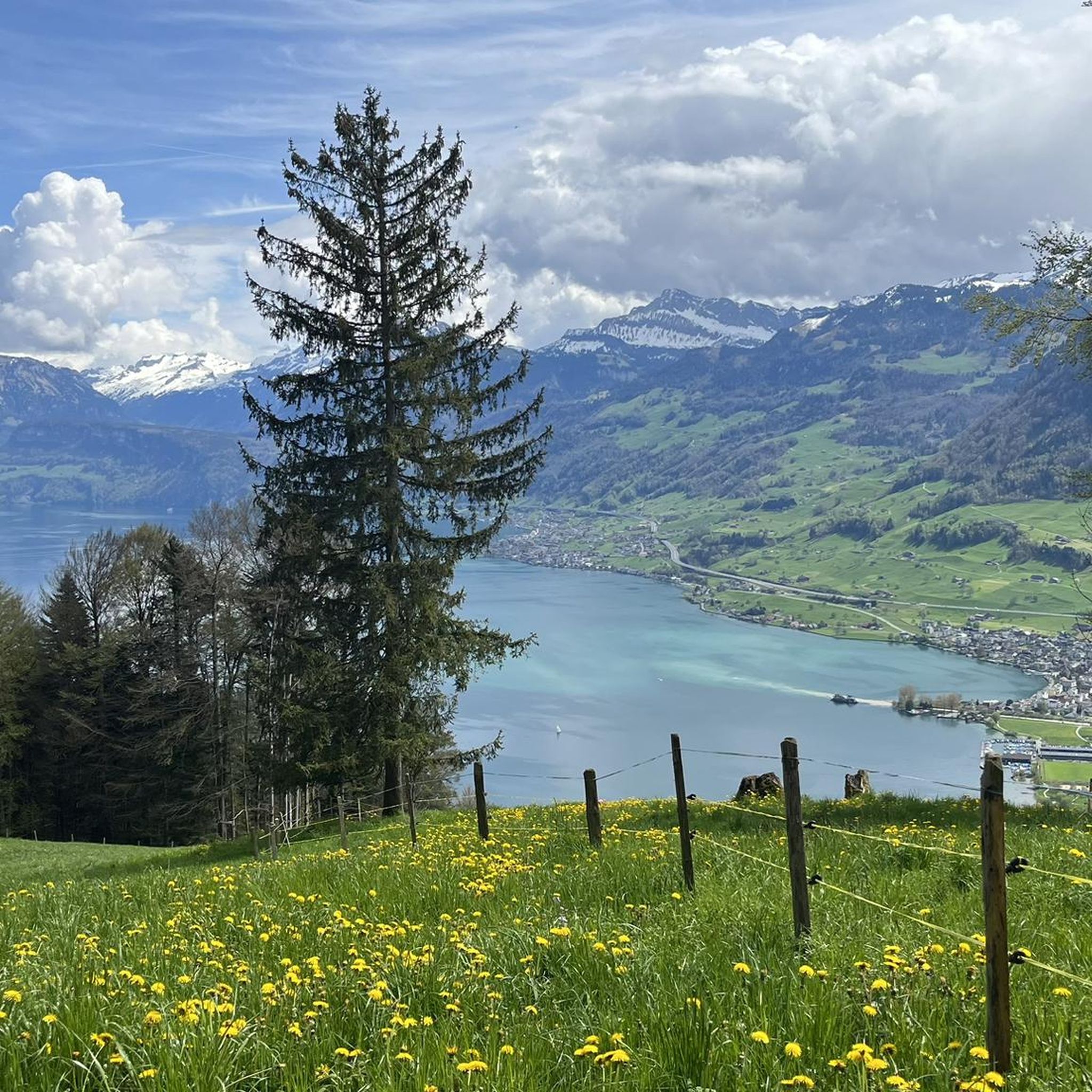
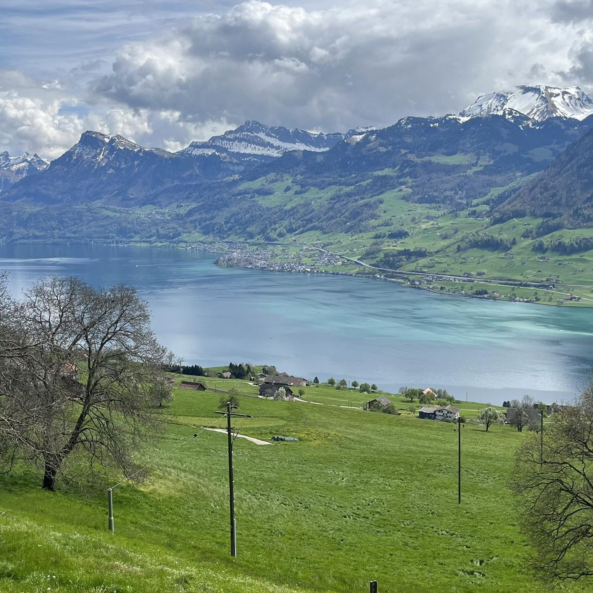
The Renggpass is located at 885 meters above sea level, exactly between the two cantons of Nidwalden and Obwalden. From here you can look down about 450 meters to Lake Lucerne.
4
0

The path/climb from here over the back to the Chrummhorn is steep and spectacular... ;-)
2
0
Frequently Asked Questions
What are the most popular mountain passes and scenic routes around Ennetbürgen?
The region around Ennetbürgen is known for scenic mountain routes and peaks rather than traditional high-alpine passes. Popular spots include the Gätterlipass Mountain Lodge and Gätterli Mountain Inn, both serving as junctions and refreshment stops on the Rigi. Another must-see is Staffelhöhe, a viewpoint marking the cantonal border between Lucerne and Schwyz, offering expansive views of the Alps and Lake Lucerne.
Are there family-friendly mountain routes or passes near Ennetbürgen?
Yes, several routes are suitable for families. The Bürgenstock mountain, for instance, offers accessible paths like the Cliff Trail (Felsenweg) and a circular route over Chänzeli, providing stunning views of Lake Lucerne. The Staffelhöhe viewpoint is also categorized as family-friendly.
What historical sites can be found along the mountain routes near Ennetbürgen?
The region is rich in history. The Rengg Pass, once an important mule track connecting Hergiswil and Alpnachstad, features remains of a medieval defensive wall. The Ächerli Pass holds historical significance from Napoleon's invasion in 1798, marking a strategic crossing between Nidwalden and Obwalden.
What outdoor activities can I do near these mountain passes and routes?
The mountainous areas around Ennetbürgen offer diverse outdoor activities. You can explore numerous hiking trails, including challenging mountain hikes like those around Vitznauerstock/Gersauerstock or Buochserhorn. For cyclists, there are various road cycling routes and MTB trails available. You can find more details on specific routes in the Mountain Hikes around Ennetbürgen, Road Cycling Routes around Ennetbürgen, and MTB Trails around Ennetbürgen guides.
What are the best viewpoints along the mountain routes near Ennetbürgen?
For breathtaking panoramic views, consider visiting Rigi Kulm, known as the 'Queen of the Mountains,' offering expansive vistas of Lake Zug and a sea of clouds. The Stanserhorn provides an outstanding 360-degree view of ten Swiss lakes and approximately 100 km of the Alps. Closer to Ennetbürgen, the Bürgenstock routes, including the Cliff Trail, offer spectacular views of Lake Lucerne. The Staffelhöhe also provides great views of the Alps and the lake.
What is the best time to visit the mountain routes around Ennetbürgen for hiking?
The Lake Lucerne region is generally best for hiking from late spring to early autumn (May to October). During this period, the weather is milder, and most trails are free of snow. For specific high-alpine passes further afield, it's crucial to check their status, as many are subject to winter closures.
Are there any easy hiking trails or mountain passes for beginners near Ennetbürgen?
Yes, for easier options, the circular route over Chänzeli on Bürgenstock is a good choice. It's an accessible path that still offers beautiful views. The Rengg Pass also offers a beautiful hiking trail through forests, suitable for a short, historically rich hike.
How can I reach the Bürgenstock mountain by public transport?
The Bürgenstock mountain is well-connected. You can typically reach it by taking a boat from Lucerne to Kehrsiten-Bürgenstock, followed by the Bürgenstock Funicular directly to the resort. Alternatively, there are bus connections from Stansstad to the Bürgenstock resort.
Are there places to eat or rest along the mountain routes?
Yes, several mountain inns and lodges offer refreshments and meals. The Gätterlipass Mountain Lodge and Gätterli Mountain Inn on the Rigi are popular stops for hikers, providing amenities and a place to rest. The Bürgenstock resort also features various dining options.
What makes the Stanserhorn a unique mountain experience near Ennetbürgen?
The Stanserhorn, at 1,897 meters, offers an outstanding 360-degree view of ten Swiss lakes and approximately 100 km of the Alps, which can be enjoyed from a 30-minute circular trail at the summit. It's also considered a 'place of power' with concentrated energy points near the fireplace at its highest elevation, adding a unique spiritual dimension to the visit.
What are the options for challenging mountain hikes near Ennetbürgen?
For those seeking more challenging experiences, the region offers demanding mountain hikes. Examples include routes around Vitznauerstock/Gersauerstock and the ascent to Buochserhorn summit. These trails often feature significant elevation gains and rugged terrain, providing a rewarding challenge for experienced hikers. You can find more details in the Mountain Hikes around Ennetbürgen guide.
Can I bring my dog on the trails around Bürgenstock?
Many hiking trails in the region, including some around Bürgenstock, are dog-friendly. However, it's always advisable to keep dogs on a leash, especially in areas with wildlife or near cliffs. Specific restrictions might apply to certain facilities or cable cars, so it's best to check with the local operators beforehand.
Most popular routes around Ennetbürgen
Most popular attractions around Ennetbürgen

Get inspired with the komoot mobile app


Explore more
See even more epic mountain passes by checking out these guides around Ennetbürgen:
