The best gravel rides around Sainte-Eulalie-D'Olt
4.7
(4)
38
riders
4
rides
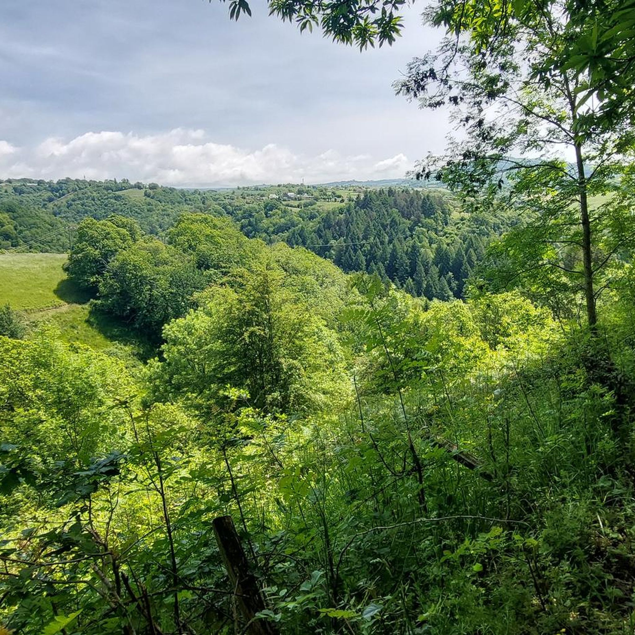
Gravel biking around Sainte-Eulalie-D'Olt offers diverse terrain, situated on the banks of the Lot River between the Grands Causses regional nature reserve and the Aubrac mountains. The region features a mix of valley floors, rolling green hills, and higher elevations, providing varied landscapes for cyclists. Trails extend into the Aubrac Regional Natural Park, incorporating riverside paths and unpaved sections suitable for gravel bikes.
Best gravel bike trails around Sainte-Eulalie-D'Olt
- The most popular gravel bike trail is Bruyères lake – Saint-Geniez-d'Olt…
Last updated: July 4, 2026
15
riders
96.0km
06:54
1,780m
1,780m
Hard gravel ride. Very good fitness required. Mostly paved surfaces. Suitable for all skill levels.
4.3
(3)
10
riders
36.2km
02:24
510m
510m
Hard gravel ride. Very good fitness required. Mostly paved surfaces. Suitable for all skill levels.

Sign up for free
1
riders
17.2km
01:50
670m
670m
Hard gravel ride. Very good fitness required. Mostly paved surfaces. Suitable for all skill levels.
1
riders
59.1km
04:15
1,340m
1,340m
Hard gravel ride. Very good fitness required. Mostly paved surfaces. Suitable for all skill levels.
Our route recommendations are based on thousands of hikes, rides, and runs completed by other people on komoot.
Start today with a free account
Your next adventure awaits.
Login or Signup
Tips from the Community

Several tunnels on the descent of the greenway, several viaducts in between too, a real passage steeped in railway history!
0
0
The greenway is dotted with several viaducts like this one all the way down to Espallion. All in the same style, a journey back in time.
0
0

pleasant and steady route even in the heat. Suitable for all levels
0
0

The trail is just to the right after the bridge
0
0


Great scenery, beautiful views and good road
2
0

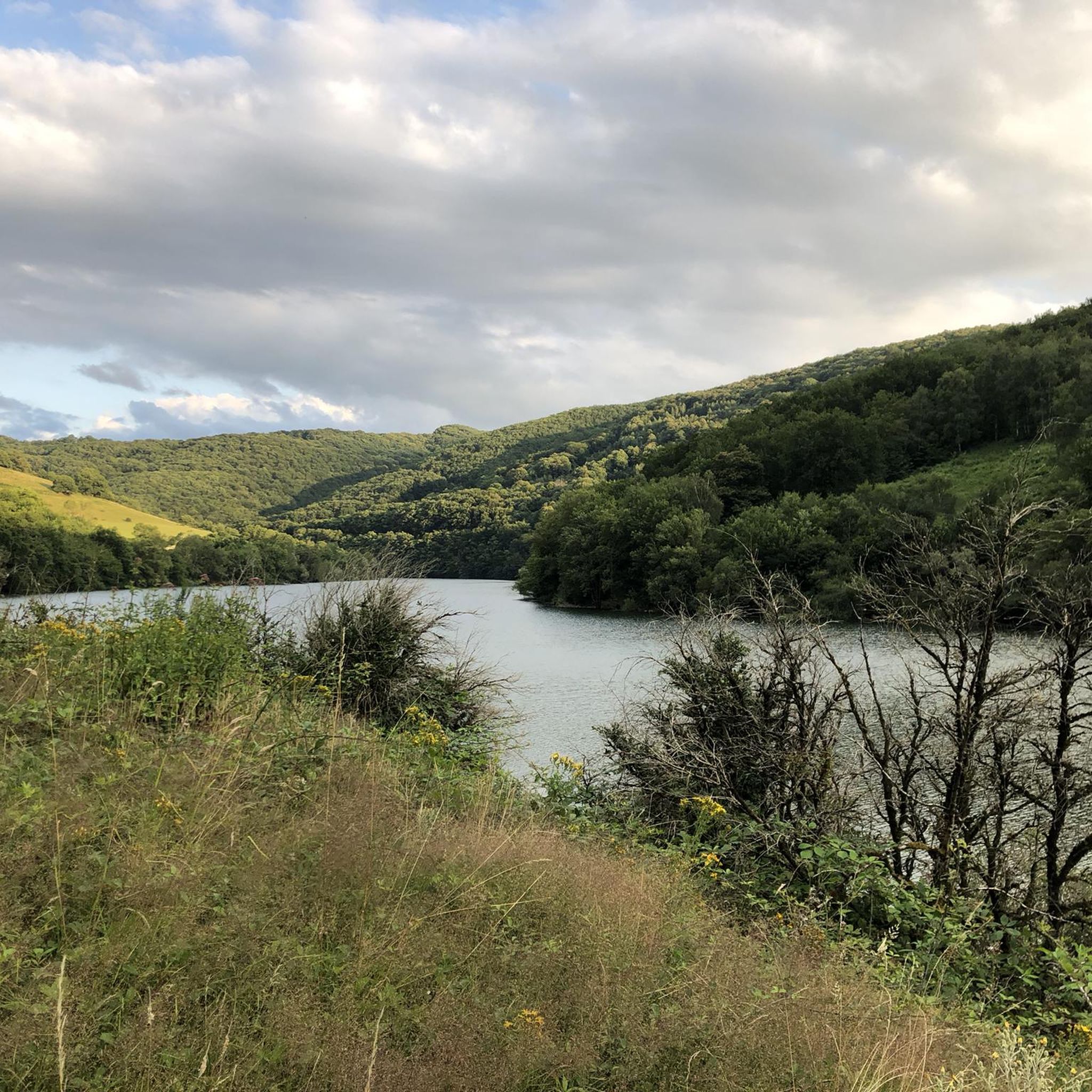
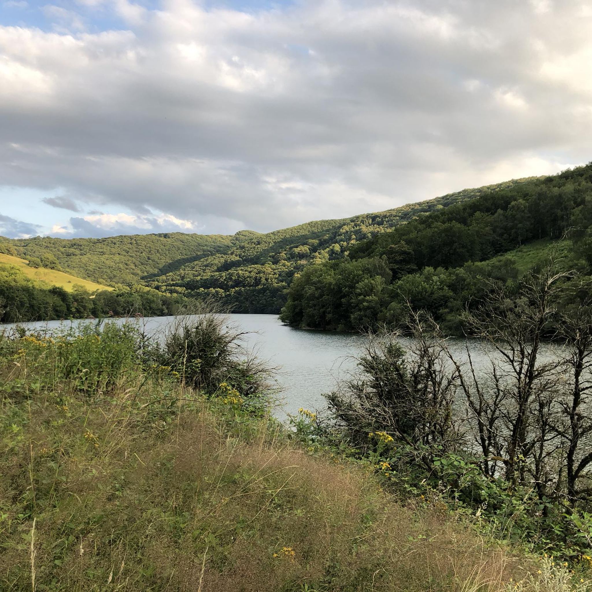
Near Bertholène, Lac des Bruyères is a small body of water appreciated by fishing enthusiasts. You will find a picnic table there if you want to take a break in the middle of a long outing.
0
0

Frequently Asked Questions
How many gravel bike trails are available around Sainte-Eulalie-D'Olt?
There are 5 curated gravel bike routes available around Sainte-Eulalie-D'Olt, offering a range of experiences from moderate to difficult. These routes allow you to explore the diverse landscapes of the Aveyron department.
What kind of terrain can I expect on gravel bike trails near Sainte-Eulalie-D'Olt?
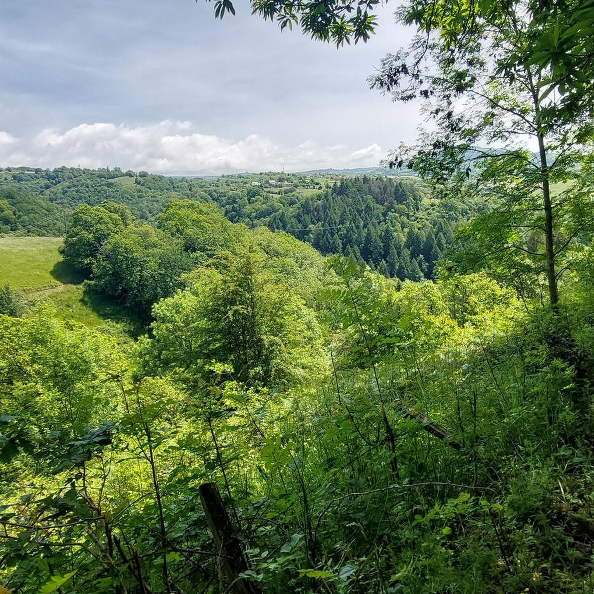
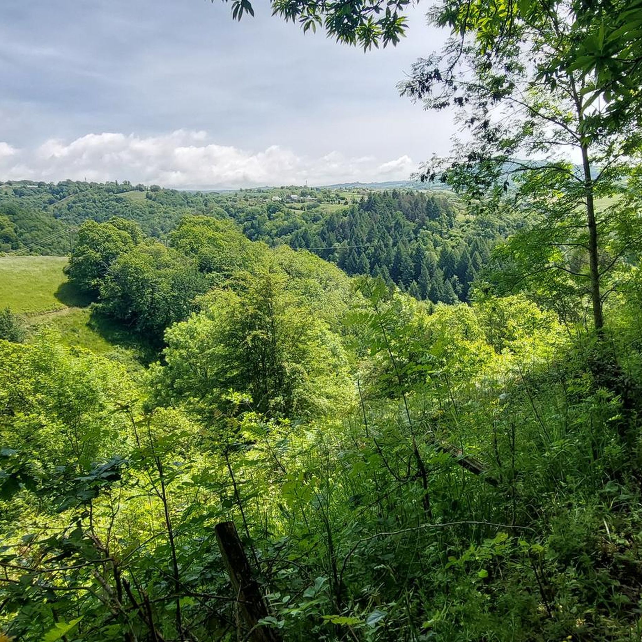
The terrain around Sainte-Eulalie-D'Olt is quite varied, ideal for gravel biking. You'll encounter a mix of valley floors along the Lot River, rolling green hills, flower-filled fields, and higher elevations as you venture towards the Aubrac mountains. Many routes feature unpaved sections, dirt tracks, and forest trails, providing a true gravel experience.
Are there challenging gravel routes for experienced riders?
Yes, several routes offer significant challenges for experienced gravel bikers. For instance, the Bruyères lake – Saint-Geniez-d'Olt loop from Saint-Geniez-d'Olt is a difficult 96 km route with over 1700 meters of elevation gain. Another demanding option is the Aubrac – Aubrac Pass loop from Saint-Côme-d'Olt, covering 59 km with over 1300 meters of climbing.
Are there any easier gravel biking options suitable for beginners?
While most routes in this guide are rated difficult, there is a moderate option that might be more suitable for beginners or those looking for a less strenuous ride. The Saint-Côme d'Olt – Viaduc de la Loubière loop from Saint-Côme-d'Olt is a 23 km route with around 430 meters of elevation gain, offering a good introduction to gravel biking in the area.
What natural landmarks or scenic viewpoints can I discover while gravel biking?
You can expect stunning natural beauty. The Lot River is a constant presence, with many paths offering riverside views. The region is also close to the impressive Trou de Bozouls, a natural canyon, which you can explore on the Saint-Côme d'Olt – Bozouls Canyon loop from Saint-Côme-d'Olt. Additionally, you might encounter unique geological features like the Volcanic Rock Slide.
Are there any charming villages or historical sites to visit along the routes?
Absolutely. Sainte-Eulalie-D'Olt itself is classified as one of France's "Most Beautiful Villages," with its medieval streets, 11th-century church, and 15th-century castle. Many routes pass through or near other picturesque settlements such as Saint-Côme d'Olt and Saint-Geniez-d'Olt, offering opportunities to explore their historical centers and Renaissance houses.
What is the best time of year for gravel biking in Sainte-Eulalie-D'Olt?
The region is generally pleasant for outdoor activities from spring through autumn. Spring brings blooming flowers and mild temperatures, while summer offers warm, sunny days ideal for long rides. Autumn provides beautiful foliage and cooler weather. Always check local weather forecasts before heading out, especially for higher elevations in the Aubrac mountains.
Is parking available near the gravel bike trailheads?
Yes, parking is generally available in and around the villages that serve as starting points for these routes, such as Sainte-Eulalie-D'Olt, Saint-Côme-d'Olt, and Saint-Geniez-d'Olt. Look for designated public parking areas within these towns.
Can I reach the starting points of these trails by public transport?
While regional bus services connect some towns in Aveyron, direct public transport options specifically tailored for cyclists reaching remote trailheads might be limited. It's advisable to check local bus schedules for connections to Sainte-Eulalie-D'Olt or nearby larger towns like Rodez, and plan accordingly, potentially combining with a short taxi ride or cycling to the trailhead.
Are there any circular gravel bike routes in the area?
Yes, all the routes featured in this guide are circular, allowing you to start and finish in the same location. This includes the challenging Saint-Geniez-d'Olt loop from Saint-Geniez-d'Olt and the scenic Saint-Côme d'Olt – Bozouls Canyon loop from Saint-Côme-d'Olt.
What do other gravel bikers enjoy most about gravel biking in Sainte-Eulalie-D'Olt?
The area is highly rated by the komoot community, with an average score of 4.5 stars. Reviewers often praise the stunning natural landscapes, the variety of terrain from riverside paths to mountain foothills, and the charming medieval villages encountered along the way. The blend of historical charm and natural adventure makes for a memorable gravel biking experience.
Most popular routes around Sainte-Eulalie-D'Olt
Most popular attractions around Sainte-Eulalie-D'Olt

Get inspired with the komoot mobile app


Explore more
Browse the best Gravel rides in other regions.
