The best road cycling routes around Lamerdingen
4.5
(1064)
11,856
riders
805
rides
Road cycling around Lamerdingen offers access to a network of routes through the gently undulating agricultural landscapes of Ostallgäu, Allgäu, and Swabia in Bavaria, Germany. The region is characterized by open fields and well-maintained, often asphalted, surfaces that provide smooth riding conditions. Cyclists can expect to traverse rural roads connecting Lamerdingen to nearby towns and natural waterways like the Lech River, with elevation gains typically remaining moderate. This setting provides a tranquil backdrop for road cycling, away from main roads.
Best road cycling routes around Lamerdingen
- The most popular road cycling route is Marktplatz Schwabmünchen – Watering Can Fountain loop from Großkitzighofen, a 26.1 miles (42.1 km) trail that takes 1 hour 36 minutes to complete. This easy route features mostly well-paved surfaces, suitable for various fitness levels.
- Another top favourite among local road cyclists is Langerringen Cycle Path – Marktplatz Schwabmünchen loop from Lamerdingen, an easy 26.6 miles (42.8 km) path. This route offers a smooth ride through agricultural landscapes, ideal for enjoying the Bavarian countryside.
- Local road cyclists also love the Türkheim Old Town loop from Kleinkitzighofen, a 20.0 miles (32.3 km) trail leading through agricultural fields, often completed in about 1 hour 13 minutes.
- Road cycling around Lamerdingen is defined by gently undulating agricultural landscapes, well-paved surfaces, and roads through the fields. The network offers options for various fitness levels, from easy to moderate.
- The routes in Lamerdingen are highly rated by the komoot community with an average score of 4.6 stars from over 700 reviews. More than 9,000 road cyclists have used komoot to explore Lamerdingen's varied terrain.
Last updated: October 15, 2026
3.0
(2)
35
riders
26.4km
01:01
60m
60m
Easy road ride. Great for any fitness level. Mostly well-paved surfaces and easy to ride.
5.0
(1)
29
riders
Moderate road ride. Great for any fitness level. Some segments of this route may be unpaved and difficult to ride.

4.2
(18)
13
riders
Easy road ride. Great for any fitness level. Mostly well-paved surfaces and easy to ride.
23
riders
42.8km
01:39
110m
110m
Moderate road ride. Great for any fitness level. Some segments of this route may be unpaved and difficult to ride.
13
riders
52.9km
02:09
290m
290m
Moderate road ride. Good fitness required. Mostly well-paved surfaces and easy to ride.
Get access to more routes and recommendations from other explorers.
Already have an account?
Our route recommendations are based on thousands of hikes, rides, and runs completed by other people on komoot.
Start today with a free account
Your next adventure awaits.
Tips from the Community

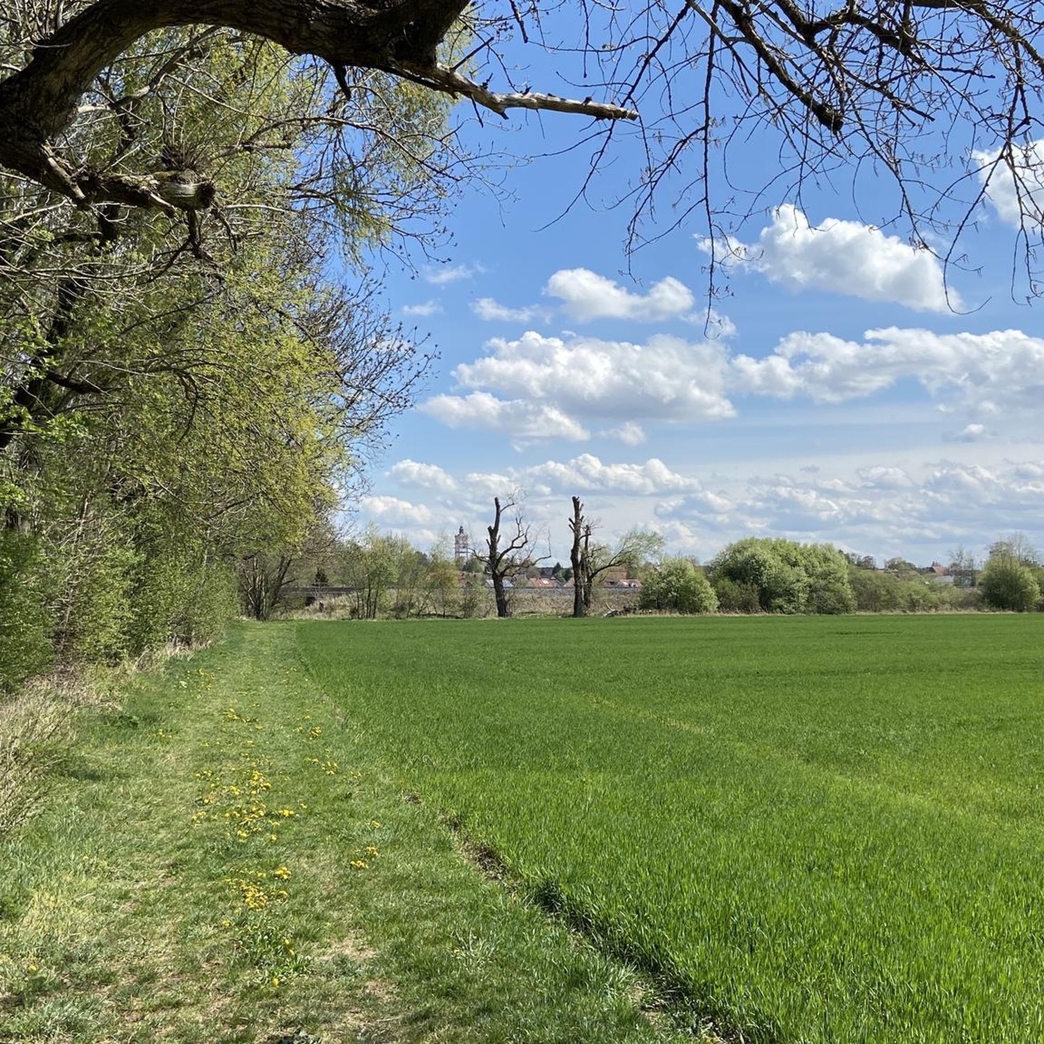
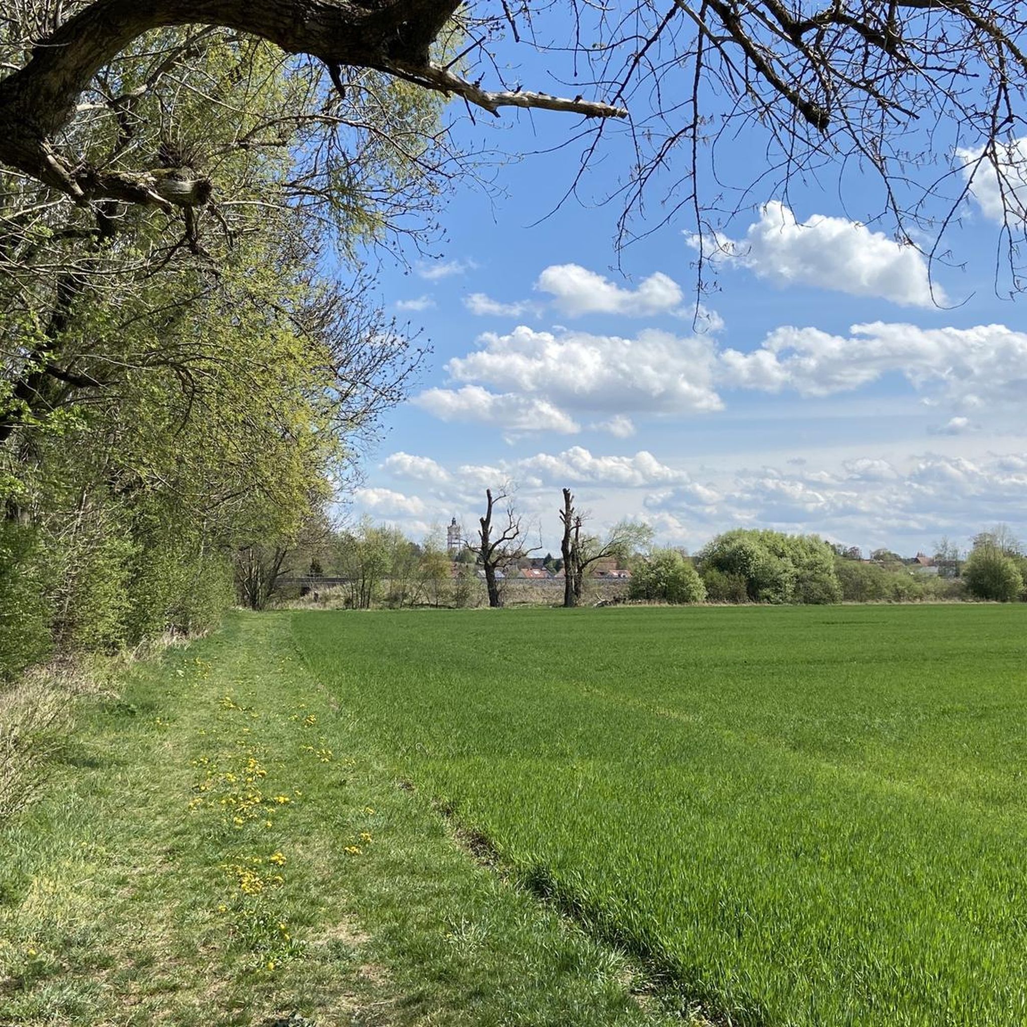
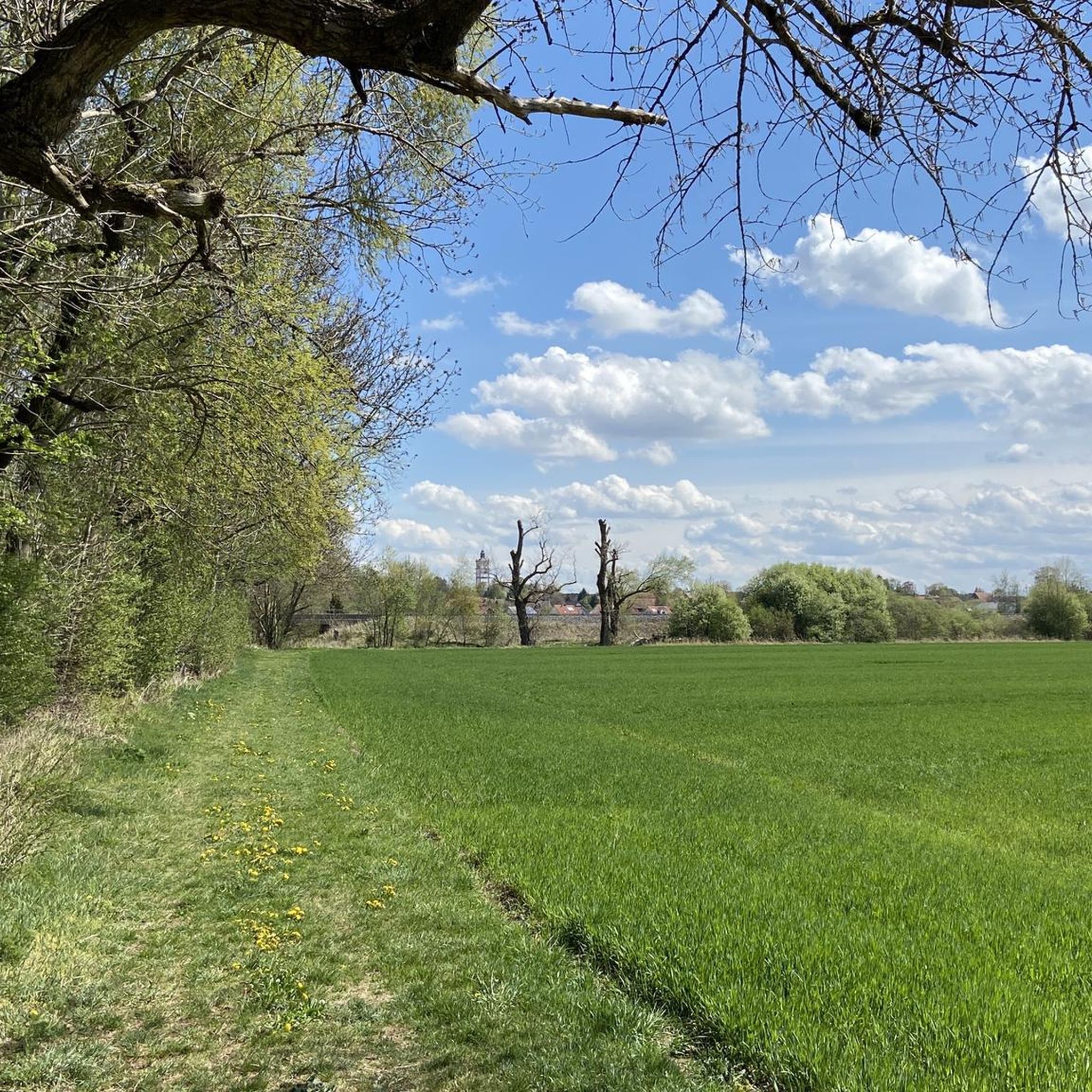
Von hier aus bieten sich schöne Ausblicke in die Stauden.
0
0

The pilgrimage church is wonderfully located and has a beautiful interior design, which should definitely be combined with a silent prayer.
0
0

Renovated by the fire department association
0
0
Central square at the Old Town Hall with access to the Stadtgarten
1
0

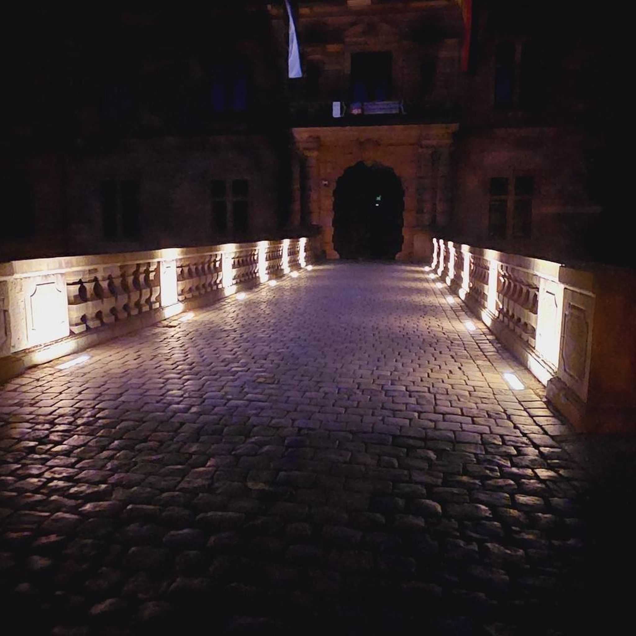
Very well preserved castle, you should see it if you are nearby
1
0

The neo-Baroque furnishings date from 1940 to 1948. The choir features Nazarene altarpieces by Johannes Kaspar of Obergünzburg, dating from 1870/1873. The current side altarpieces were painted by Gertrud Drexel of Türkheim in 1948 (Death of Joseph, right) and 1958 (Finding of the Cross by Saint Helena, left). In the crypt beneath the choir is a tomb of Christ from the mid-13th century.
0
0

Excellently paved bike path between Untermeitingen and Langerringen. Prone to wind!
0
0

A very nice bike path next to the road. While it's not very busy, the detour onto the bike path is still worth it.
0
0
Frequently Asked Questions
How many road cycling routes are available around Lamerdingen?
There are over 760 road cycling routes around Lamerdingen, offering a wide variety of options for different skill levels and preferences. This includes more than 300 easy routes, over 430 moderate routes, and 30 more challenging options.
What kind of terrain can I expect on road cycling routes in Lamerdingen?
Road cycling around Lamerdingen is characterized by gently undulating agricultural landscapes with well-maintained, often asphalted, surfaces. You'll primarily traverse rural roads through open fields, providing a tranquil backdrop away from main roads. The region is part of Ostallgäu, Allgäu, and Swabia in Bavaria, known for its picturesque countryside.
Are there routes suitable for beginners or those looking for an easy ride?
Yes, Lamerdingen offers many easy road cycling routes. For instance, the Langerringen Cycle Path – Marktplatz Schwabmünchen loop from Lamerdingen is an easy 42.8 km path with moderate elevation, ideal for enjoying the Bavarian countryside. Another great option is the Marktplatz Schwabmünchen – Watering Can Fountain loop from Großkitzighofen, an easy 42.1 km route with mostly well-paved surfaces.
What about more challenging road cycling options?
While the region is known for its gentle terrain, there are around 30 routes classified as difficult for those seeking more of a challenge. These routes will feature greater elevation gains and potentially longer distances, allowing experienced cyclists to test their limits within the scenic Bavarian landscape.
What natural sights can I see while road cycling around Lamerdingen?
The region offers several natural attractions. You might encounter the Lech Reservoir 18 or the Teufelsküche Reservoir. The Haltenberger Aue Beaver Habitat is another interesting natural monument to look out for, offering glimpses of local wildlife and ecosystems.
Are there any historical landmarks or castles along the routes?
Yes, the area around Lamerdingen features several historical landmarks and castles. You could cycle past the Haltenberg Castle Ruins or the impressive Igling Castle. The Pöring Castle Church of Mary of Reconciliation also offers a glimpse into the region's rich history and architecture.
What do other road cyclists enjoy the most about road cycling in Lamerdingen?
The road cycling routes in Lamerdingen are highly rated by the komoot community, with an average score of 4.6 stars from over 700 reviews. Cyclists often praise the well-paved surfaces, the tranquil rides through agricultural fields, and the diverse options catering to various fitness levels, making it a pleasant experience for many.
Are there any loop routes for road cycling in Lamerdingen?
Many of the road cycling routes around Lamerdingen are designed as loops, allowing you to start and end at the same point. An example is the Türkheim Old Town loop from Kleinkitzighofen, a 32.3 km trail that takes you through agricultural fields.
What is the best time of year for road cycling in Lamerdingen?
The best time for road cycling in Lamerdingen is generally during the warmer months, from spring to early autumn. During this period, the weather is typically mild, and the agricultural landscapes are vibrant, offering the most enjoyable conditions for exploring the region's well-paved routes.
Are there places to stop for refreshments or a meal along the routes?
The routes often connect to nearby towns and villages, which typically offer opportunities for refreshment stops. While specific cafes or pubs aren't listed for every route, the strategic location of Lamerdingen within the Ostallgäu district means you'll find places to refuel in the surrounding communities.
Where can I find parking for road cycling in Lamerdingen?
Parking for road cyclists is generally available in Lamerdingen and the surrounding towns where routes often begin. Look for designated public parking areas in village centers or near trailheads. Specific parking information for individual routes can often be found on their respective komoot tour pages.
Is Lamerdingen well-connected by public transport for cyclists?
Lamerdingen and the broader Ostallgäu region have public transport options, though their suitability for cyclists with bikes can vary. It's advisable to check local bus and train schedules and their bike transport policies in advance if you plan to use public transport to reach your starting point or return from a route.
Most popular routes around Lamerdingen
Most popular attractions around Lamerdingen

Get inspired with the komoot mobile app


Explore more
Browse the best Road cycling routes in other regions.
