The best running trails around Branchville
21
runners
6
runs
Jogging around Branchville, New Jersey, offers access to expansive natural landscapes and diverse trail systems. The region is characterized by forested mountains, pristine streams, and scenic viewpoints, providing varied environments for running. Its extensive network of routes caters to different skill levels, from gentle paths to more challenging terrains.
Best jogging routes around Branchville
- The most popular jogging route is Blue Mountain Loop Trail, a difficult 9.1 miles (14.6 km) trail that takes 1 hour 53 minutes to complete.…
Last updated: June 29, 2026
1
runners
14.6km
01:54
300m
300m
Hard run. Very good fitness required. Mostly paved surfaces. Suitable for all skill levels.
8
runners
Hard run. Very good fitness required. Mostly accessible paths. Some sure footedness required.

Sign up for free
4
runners
Moderate run. Good fitness required. Mostly paved surfaces. Suitable for all skill levels.
3
runners
6.08km
00:40
30m
30m
Moderate run. Good fitness required. Mostly paved surfaces. Suitable for all skill levels.
2
runners
17.8km
01:55
180m
180m
Hard run. Very good fitness required. Mostly paved surfaces. Suitable for all skill levels.
Our route recommendations are based on thousands of hikes, rides, and runs completed by other people on komoot.
Start today with a free account
Your next adventure awaits.
Login or Signup


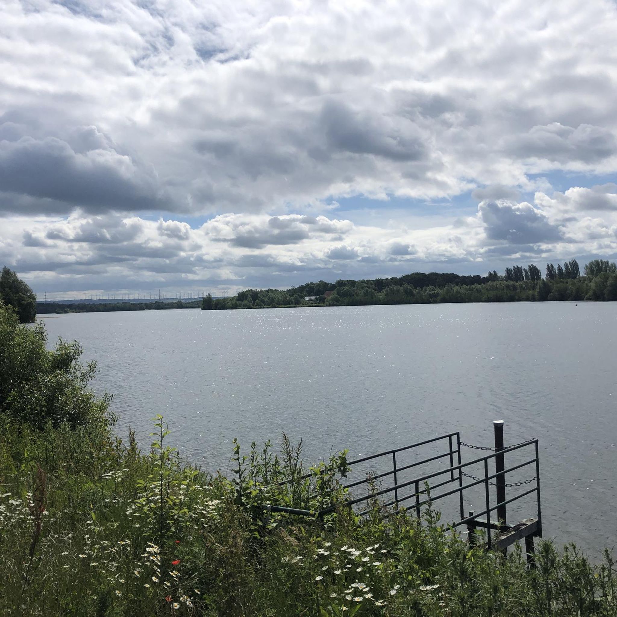
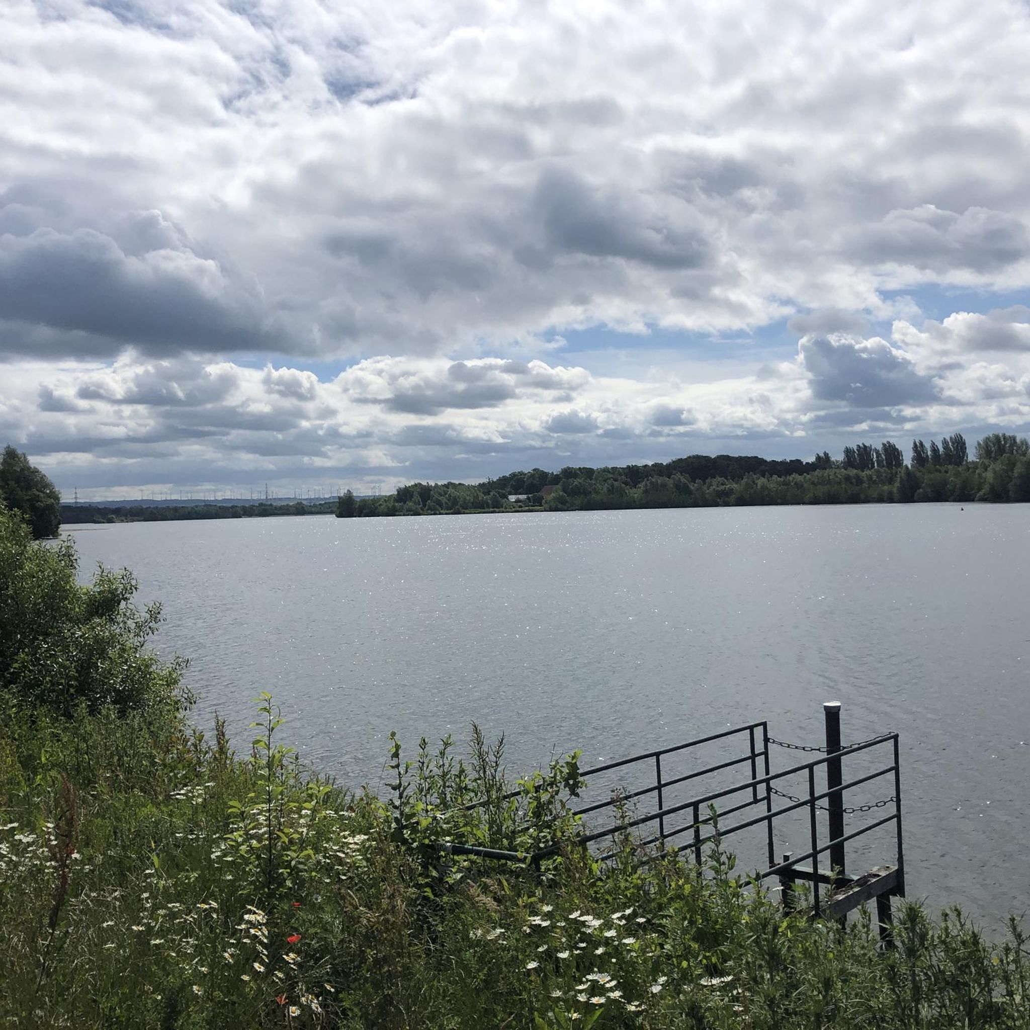
Tips from the Community

Warbasse Junction is the intersection of the Sussex Branch Trail and the Paulinskill Valley Trail. There are no facilities at this spot, but there are some information boards to give you some valuable information about the area.
1
0

Discover the enchanting Stokes State Forest, where forested mountains, pristine streams, and the awe-inspiring Sunrise Mountain offer a haven for nature enthusiasts. Whether seeking tranquility or outdoor adventure, Stokes has it all! Explore over 63 miles of trails leading to landmarks like the Appalachian Trail, Tillman's Ravine, and Stepping Stones Falls.
0
0
Discover the enchanting Stokes State Forest, where forested mountains, pristine streams, and the awe-inspiring Sunrise Mountain offer a haven for nature enthusiasts. Whether seeking tranquility or outdoor adventure, Stokes has it all! Explore over 63 miles of trails leading to landmarks like the Appalachian Trail, Tillman's Ravine, and Stepping Stones Falls.
0
0

Sunrise Mountain offers great views of the New Jersey farmland as well as surrounding hills and forests.
0
0

Good climb from Culver parking lot. Few cars on the road since it is only one way.
0
0
Frequently Asked Questions
How many running routes are available in Branchville?
Branchville offers a selection of 5 dedicated running routes, catering to various skill levels. These include moderate paths and more challenging trails through diverse landscapes.
What kind of terrain can I expect on running trails in Branchville?
You can expect a wide variety of terrain, from forested mountains and pristine streams to multi-use rail-to-trail paths. Many routes feature varied surfaces, including single track and fire roads, providing both serene and challenging environments for runners.
Are there any easy running routes for beginners in Branchville?
Yes, there are moderate options suitable for beginners. For instance, the Warbasse Junction loop from Lafayette Township is a moderate 3.8-mile path, offering a gentler introduction to running in the area. The Sussex Branch Trail also provides an easy, relatively flat option.
What are some challenging running trails for experienced runners?
Experienced runners will find several challenging options. The Blue Mountain Loop Trail is a difficult 9.1-mile route with varied terrain and forest views. Another demanding option is the Running loop from Paulinskill River Wildlife Management Area, an 11.1-mile difficult path through a natural setting.
Are there circular running routes in the Branchville area?
Yes, many of the running routes in Branchville are designed as loops. Examples include the Blue Mountain Loop Trail and the Warbasse Junction loop from Lafayette Township, allowing you to start and finish at the same point.
What scenic viewpoints or landmarks can I see while running in Branchville?
You can enjoy stunning views and notable landmarks. The Normanook Lookout Tower offers panoramic vistas over surrounding hills and lakes. Within Stokes State Forest, Sunrise Mountain provides excellent views of New Jersey farmland and forests, adding visual interest to your run.
Are there any natural features like waterfalls or rivers along the running routes?
Yes, the region is rich in natural beauty. Stokes State Forest features pristine streams and areas like Tillman's Ravine and Stepping Stones Falls. The Streams of Stokes State Forest loop specifically highlights these forested mountains and pristine streams.
Are the running trails in Branchville dog-friendly?
Many trails in natural areas like Stokes State Forest and the Paulinskill River Wildlife Management Area are generally dog-friendly, but it's always recommended to check specific park regulations for leash requirements and any restricted areas before heading out with your pet.
Are there family-friendly running options in Branchville?
For families, the multi-use Sussex Branch Trail offers an easy and scenic option. A 1.3-mile section near Branchville runs alongside Dry Brook, providing a pleasant and relatively flat route suitable for all ages.
Where can I park when visiting running trails in Branchville?
Parking is typically available at trailheads and within major recreational areas like Stokes State Forest and the Paulinskill River Wildlife Management Area. Specific parking details can often be found on individual route pages or park websites.
What is the best time of year to go running in Branchville?
Branchville offers great running opportunities year-round. Spring and fall provide comfortable temperatures and beautiful foliage, while summer is ideal for early morning or late afternoon runs. Winter running is also possible, with some trails suitable for colder conditions, especially around Stony Lake which hosts winter events.
What makes running in Stokes State Forest unique?
Stokes State Forest is unique for its expansive network of over 63 miles of trails, including sections of the iconic Appalachian Trail. It offers diverse terrain, from forested mountains to pristine streams, and features scenic spots like Sunrise Mountain and Stony Lake, providing a truly immersive natural running experience.
Are there any running routes that follow old railway lines?
Yes, the Sussex Branch Trail is a multi-use rail-to-trail path. This offers a relatively flat and scenic option for running, perfect for those looking for a smoother surface and a historical touch to their workout.
Most popular routes around Branchville
Most popular attractions around Branchville

Get inspired with the komoot mobile app


Explore more
Browse the best Running Trails & Routes in other regions.
