Top 6 Mountain Passes around Villeret
Mountain passes around Villeret, a municipality in the Jura bernois district of Bern, Switzerland, offer diverse natural landscapes. The region is characterized by the Jura Mountains, providing elevated vistas and challenging routes for outdoor enthusiasts. Villeret serves as a base for exploring ascents and viewpoints known for their scenic beauty and recreational opportunities. The area features significant elevation changes and rewarding experiences for hikers and cyclists.
Best mountain passes around Villeret
- The most popular mountain passes is Mont Crosin (1,227…
Last updated: October 13, 2026
Chasseral Summit
Highlight • Summit
Translated by Google •
Tip by

Col de la Vierge
Highlight • Mountain Pass
More information: quaeldich.de/paesse/col-de-la-vierge-jura
Translated by Google •
Tip by

Sign up now to discover places like this
Get recommendations on the best single tracks, peaks, & plenty of other exciting outdoor places.
Mont Crosin (1,227 m)
Highlight • Mountain Pass
Translated by Google •
Tip by

Col du Chasseral South Ascent from Nods
Highlight (Segment) • Mountain Pass
Translated by Google •
Tip by

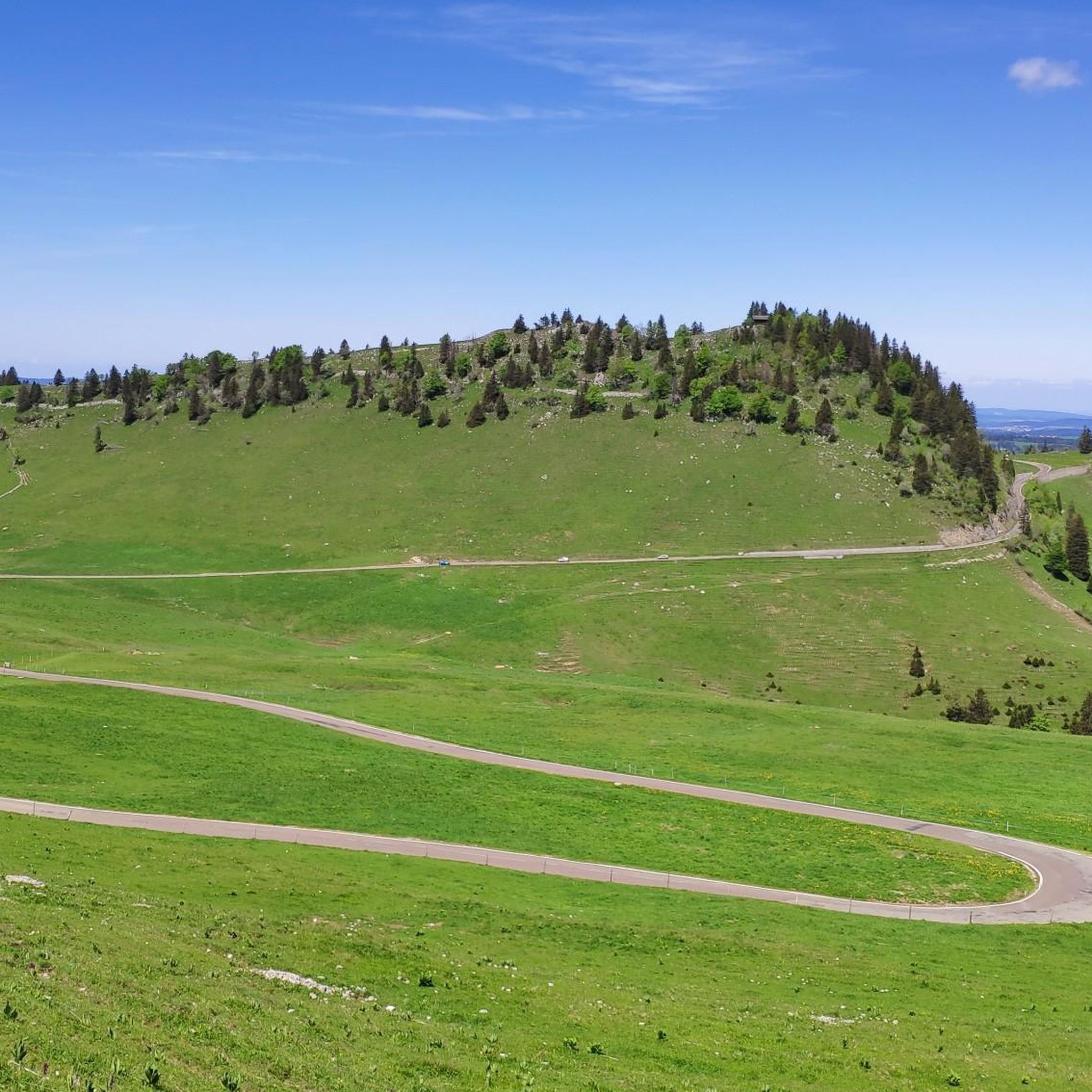
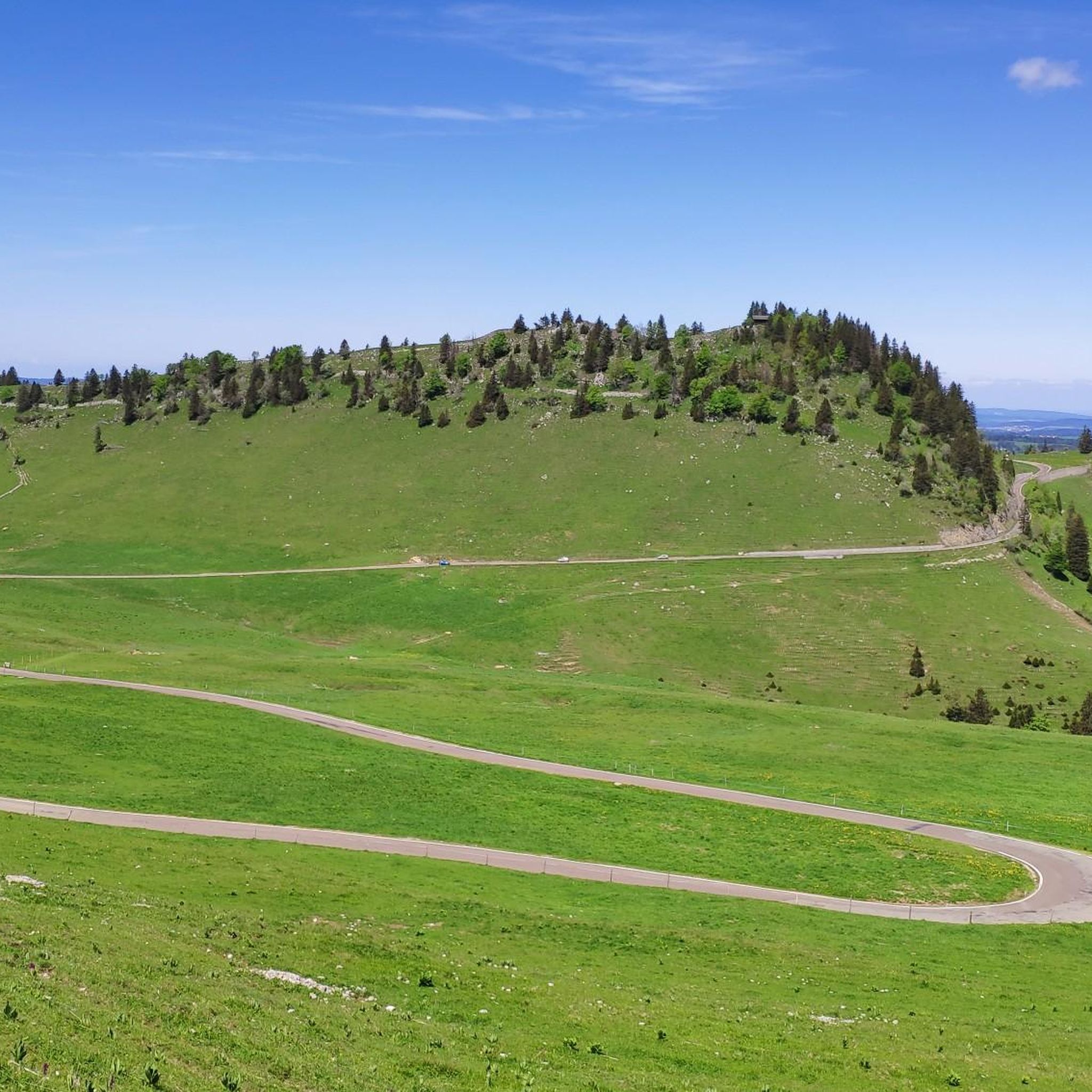
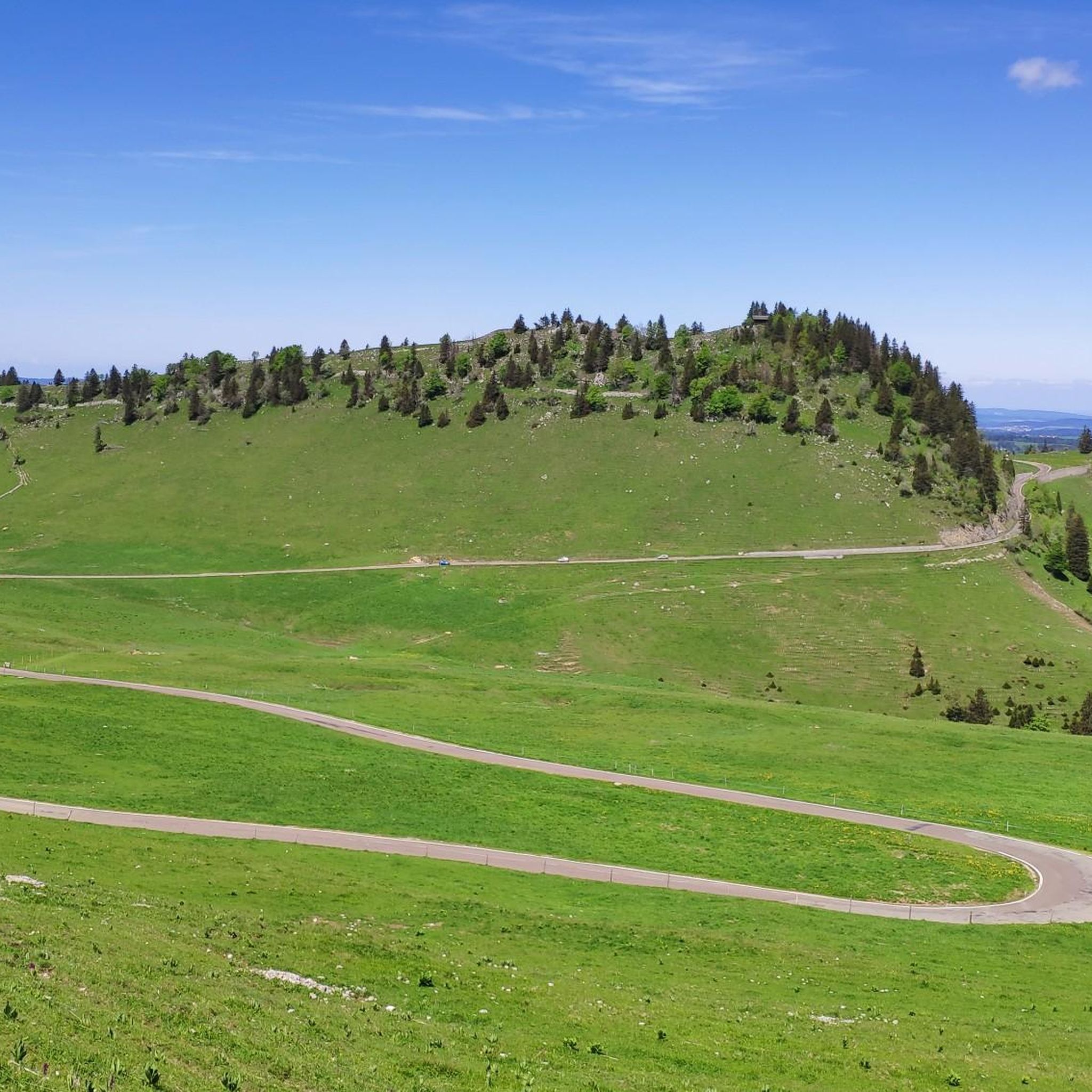
Southern Ascent With Three Scenic Hairpin Bends
Highlight (Segment) • Mountain Pass
Translated by Google •
Tip by

Sign up for free to discover even more mountain passes around Villeret.
Already have an account?


Tips from the Community

Chasseral offers a top view of the 3 lakes in good weather; Bielersee, Murtensee and Neuchâtelsjøen, all 3 in one photo ;). There are opportunities for picnics at the summit. For the "non-picnickers" there is also the possibility to eat at the hotel "Chasseral".
0
0


South climb from Nods with a decent gradient of 9-13%, with peaks of up to 15%. The downhill is also easy to ride, but you have to brake a lot. If you have the choice, go up the north side and down the south side to Les Savagnières dessous. It is much flatter and therefore easier on the brakes.
0
0

Pass located at 980m altitude. From Saint-Hippolyte, the ascent is considered 2nd category, with 18.2 kilometers with an average of 3.2% (and 9.3% over the steepest 100 meters). From Goumois and the bed of the Doubs, the ascent (category 3) is shorter (9.8 kilometers) and steeper with an average slope of 4.8% (10.4% over the steepest 100 meters). you will find an orientation table at the pass which will give you directions to the Chasseral range which rises to 1600 meters on the Swiss side of the border.
1
0

It's steep, you need to be careful when driving down, the asphalt is bad in places.
0
0
Comfortable climb through shady forest and moderate gradient. The downhill is also easy to ride, sometimes steep in the double-digit % range. Asphalt is good so far.
0
0

Mont Crosin is one of the highest peaks in the Bernese Jura. The ascent already begins when you come from the south (VILLIERS), at the entrance to the village with a steep ramp to the center of the village. Now you follow the road to TRAMELAN and the ascent runs in the wooded ascent over 5.7 kilometers with an average of 7%. At the top you can see the Jura in the direction of TRAMELAN. There are quite a few motorbikes on weekends, but highly recommended.
1
0
more unpleasant ascent than the north ramp, too long straights; better for downhill
0
0
Frequently Asked Questions
What are some notable mountain passes or elevated viewpoints near Villeret?
The region around Villeret, nestled in the Jura Mountains, offers several elevated points with spectacular views and challenging routes. Key highlights include Mont Crosin (1,227 m), known as one of the highest peaks in the Bernese Jura, and Col de la Vierge at 980 meters, which provides an orientation table pointing towards the Chasseral range. Additionally, the Col du Chasseral marks the start of the final ascent to the highest point of Chasseral, offering a significant challenge for cyclists. Beyond these, the Chasseral Summit and Viewpoint and Mont Soleil are prominent elevated areas providing expansive panoramas.
What kind of views can I expect from the mountain passes in the Villeret region?
From elevated points like the Chasseral Summit, you can expect spectacular 360-degree panoramas that, on clear days, include views over the Alps, the Lake District, and the three lakes of Biel, Murten, and Neuchâtel. Mont Soleil also offers magnificent views of the Chasseral and the Combe Grède, blending natural scenery with unique sights of a solar power plant and wind turbine park.
Are there good hiking opportunities near Villeret's mountain passes?
Yes, the Jura Mountains around Villeret provide extensive hiking opportunities with considerable ascents and rewarding experiences. The area is part of the Chasseral Regional Nature Park, offering numerous trails. For specific routes, you can explore various running trails around Villeret, which often double as hiking paths, including routes like the Chasseral Trail or the Chemin des Crêtes du Jura: Boucle du Chasseral.
What cycling challenges do the mountain passes around Villeret offer?
The region is well-regarded for challenging cycling routes, particularly for road biking. Passes like Col du Chasseral and Mont Crosin (1,227 m) involve significant climbs and steep gradients, requiring good to very good fitness. The ascent to Mont Crosin, for instance, includes a wooded section over 5.7 kilometers with an average gradient of 7%. Many routes traverse well-paved surfaces, making them accessible for cyclists most of the year. You can find more details on road cycling routes around Villeret.
What is the best time of year to visit the mountain passes around Villeret?
The mountain passes are generally accessible throughout the year, especially on paved roads like the one leading to Col du Chasseral. While summer and autumn offer ideal conditions for hiking and cycling with pleasant temperatures and clear views, winter can also provide unique experiences. Some visitors enjoy winter cycling, noting that snow and sunshine can reveal new aspects of nature, though it presents a different challenge due to temperatures and road conditions.
Are there any family-friendly options for enjoying the elevated views near Villeret?
Yes, Mont Soleil offers a less strenuous option for those seeking elevated views without an extreme climb. A funicular connects St-Imier to Mont Soleil, making it easily accessible for families or those preferring a gentler ascent. Once there, you can enjoy stunning vistas and explore the unique combination of natural scenery and renewable energy installations.
How accessible are the mountain passes around Villeret by public transport?
While specific public transport routes directly to all mountain passes might vary, Mont Soleil is notably accessible via a funicular from St-Imier. For other areas like Chasseral, public transport options might involve bus services to nearby villages, followed by hiking or cycling to the passes. It's advisable to check local transport schedules for the most up-to-date information.
What unique features can be found at Mont Soleil?
Mont Soleil is distinctive for its combination of natural beauty and sustainable energy initiatives. At an altitude of 1,280 meters, it offers magnificent views of the Chasseral and the Combe Grède. The area is also home to a solar power plant and a wind turbine park, providing a unique opportunity to see renewable energy in action amidst stunning landscapes.
What do visitors appreciate most about the mountain passes in the Villeret area?
Visitors highly appreciate the breathtaking panoramic views, especially from points like Chasseral, which offer expansive vistas over the Swiss landscape. Cyclists value the challenging ascents and well-maintained roads, while hikers enjoy the diverse trails within the Chasseral Regional Nature Park. The combination of natural beauty, recreational opportunities, and the sense of accomplishment from reaching these elevated points are frequently highlighted.
Can I find information about the gradient and length of climbs for cyclists?
Yes, for passes like Col de la Vierge, specific details are available. From Saint-Hippolyte, the ascent is considered 2nd category, spanning 18.2 kilometers with an average of 3.2% (and 9.3% over the steepest 100 meters). From Goumois, the ascent is shorter (9.8 kilometers) and steeper, with an average slope of 4.8% (10.4% over the steepest 100 meters). Mont Crosin (1,227 m) also features a wooded ascent over 5.7 kilometers with an average of 7%.
Are there any specific tips for cycling the Col du Chasseral?
The Col du Chasseral is a popular and challenging pass for cyclists. The road is paved and generally accessible most of the year. From the pass, a 1.5-kilometer final sprint to the highest point of Chasseral offers a chance to push yourself with only 100 meters of elevation gain. The southern ascent from Nods, while comfortable through shady forests initially, can have gradients increasing significantly to 12% in its upper sections.
Most popular routes around Villeret
Most popular attractions around Villeret

Get inspired with the komoot mobile app


Explore more
See even more epic mountain passes by checking out these guides around Villeret:
