The 5 Most Amazing Peaks around Urtenen-Schönbühl
Best mountain peaks around Urtenen-Schönbühl are found in the gently undulating midland region of Switzerland. The area features prominent hills and elevated points that provide views and recreational opportunities. The highest point within Urtenen-Schönbühl reaches 760 meters above sea level in the wooded Grauholz hills. Other notable elevations include the Urtenenberg at 591 meters and the Röduberg at 639 meters.
Best mountain peaks around Urtenen-Schönbühl
- The most popular mountain peak is Bantiger Observation Tower, a viewpoint that features an…
Last updated: August 17, 2026
Bantiger Observation Tower
Highlight • Viewpoint
Translated by Google •
Tip by

Piper Fountain
Highlight • Monument
The earlier traveling in the inn traveling minstrels may be the reason …
Translated by Google •
Tip by

Sign up now to discover places like this
Get recommendations on the best single tracks, peaks, & plenty of other exciting outdoor places.
Sign up for free
Bantiger
Highlight • Summit
Translated by Google •
Tip by

Dentenberg
Highlight (Segment) • Summit
Translated by Google •
Tip by

Lüüseberg
Highlight • Viewpoint
Translated by Google •
Tip by

Sign up for free to discover even more peaks around Urtenen-Schönbühl.
Sign up for free
Already have an account?
Start today with a free account
Your next adventure awaits.
Login or Signup
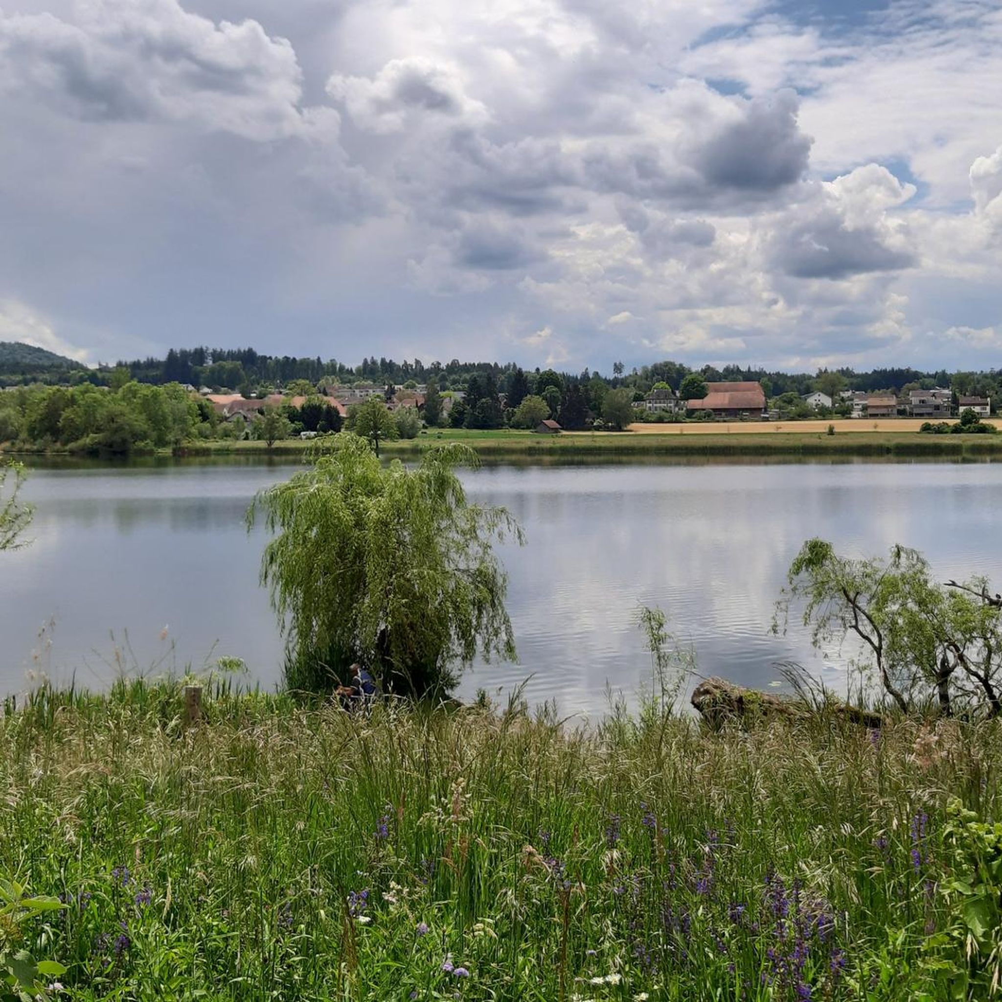
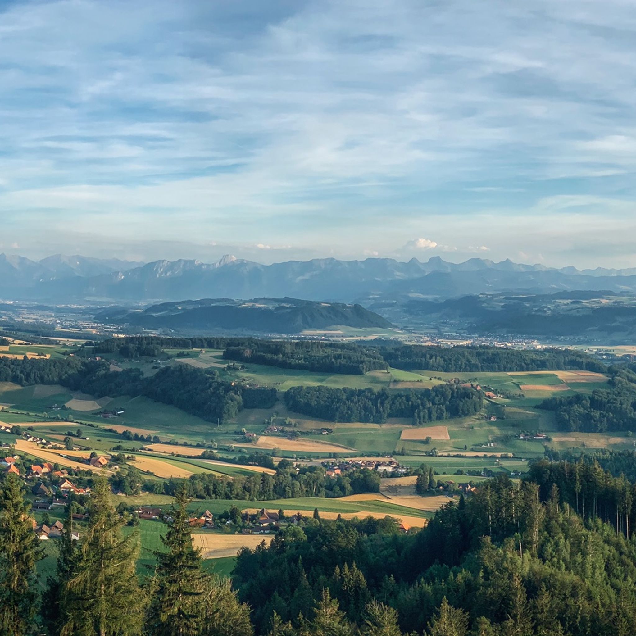
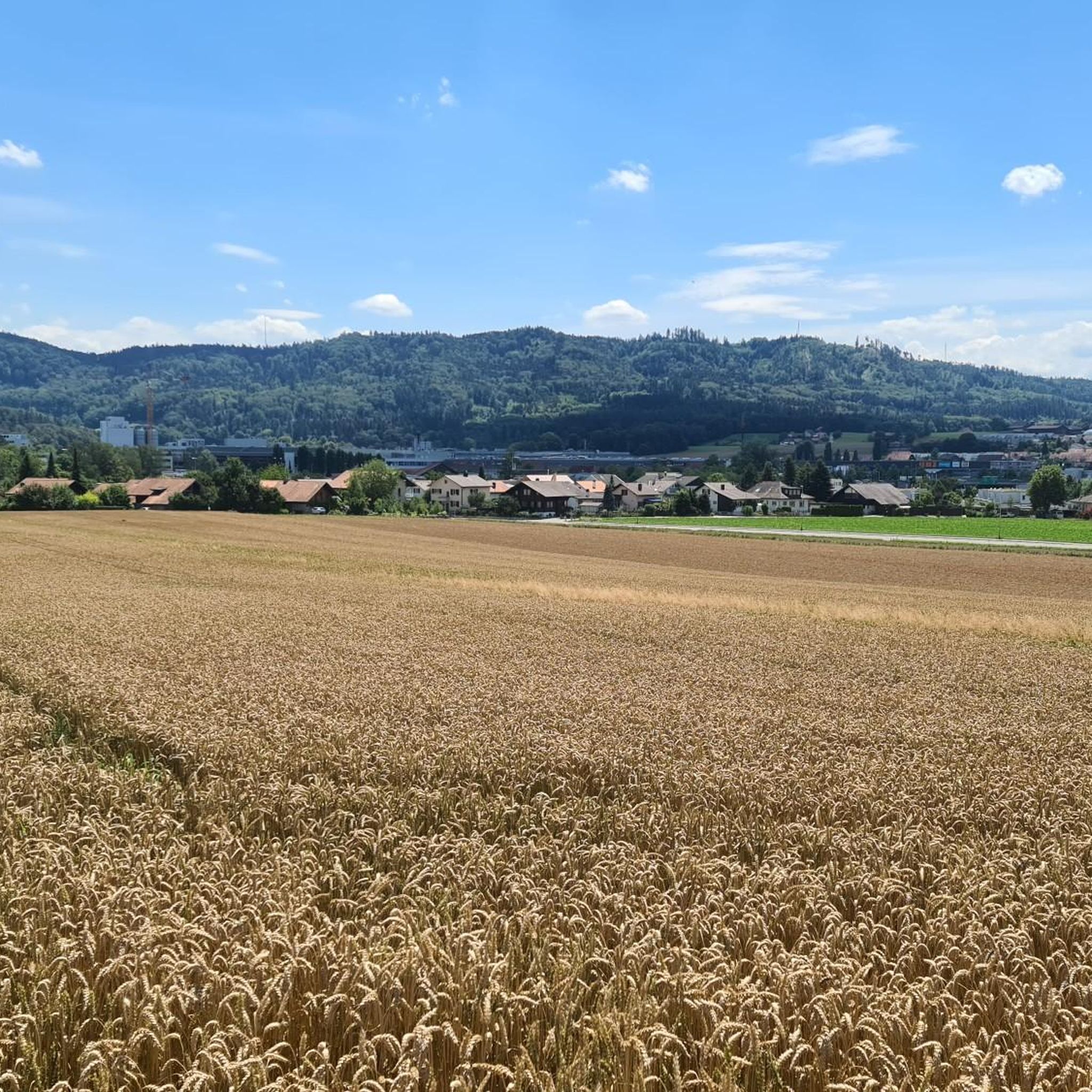
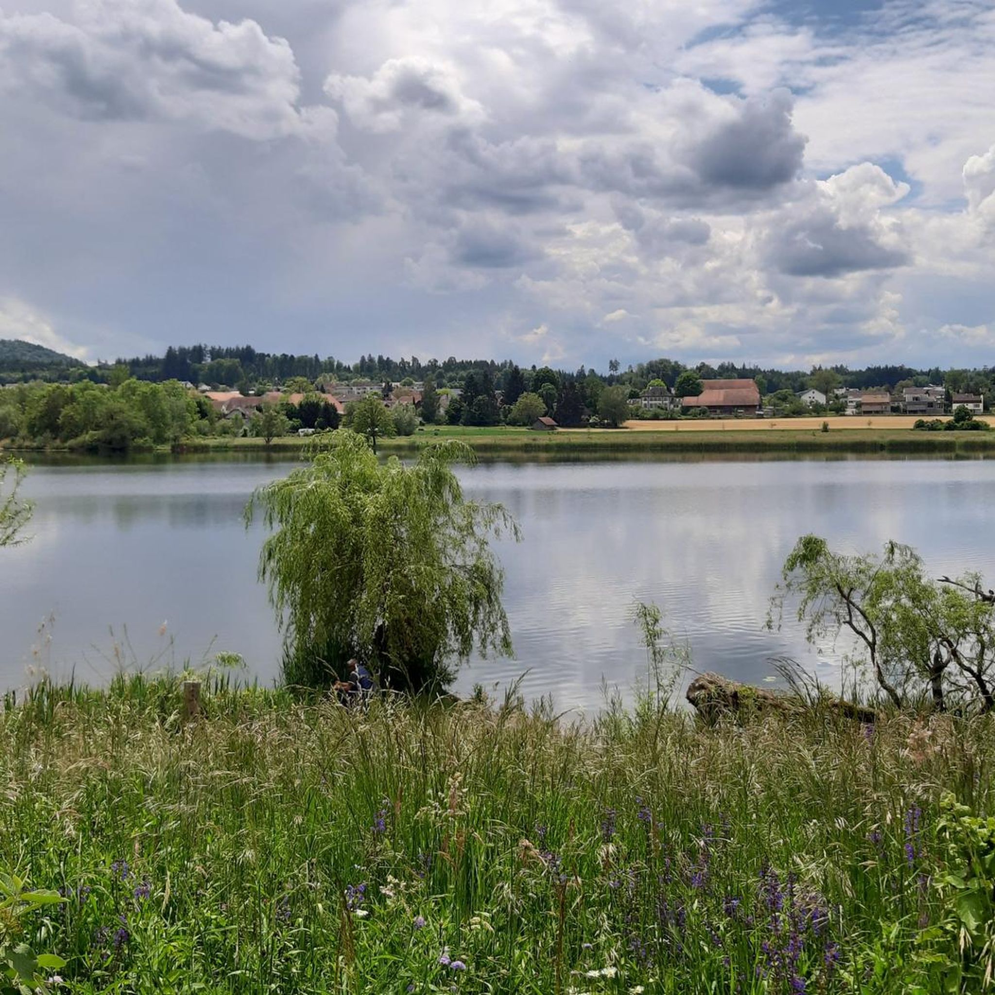
Tips from the Community

At 1000 meters above sea level, it's often sunny even in foggy conditions. See https://nebelkarte.ch for more information.
0
0

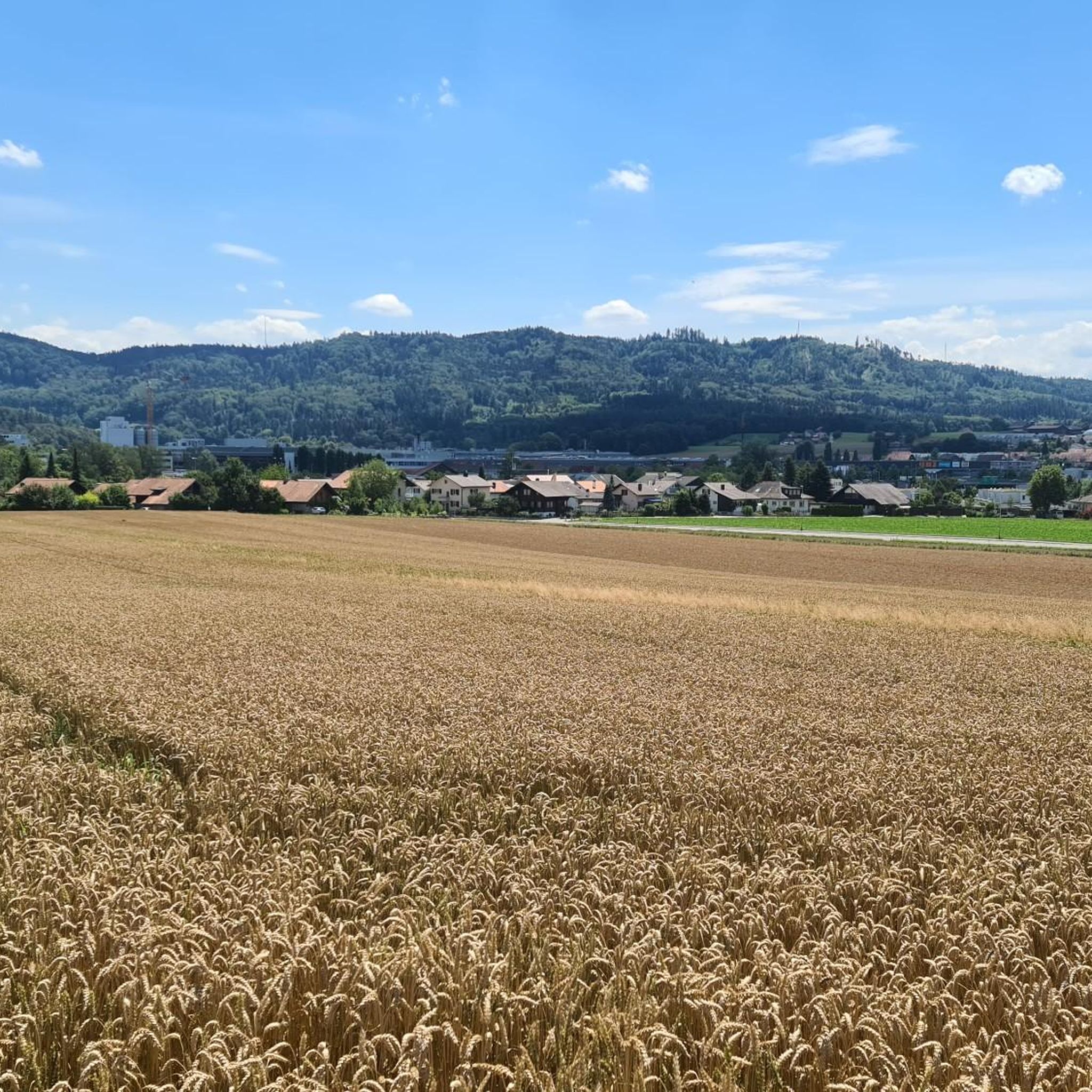
My local mountain, right on my doorstep. The climbs are steep on both sides. Once at the top, you'll find a beautiful plateau and a magnificent view of the Aare Valley.
0
0

Great all-round view in all directions
1
0

The Bantiger summit bike ride is a rewarding ride that offers stunning views of Bern, the Aare and the distant Alps. The climb takes you through the charming Swiss countryside, passing fields, farms and patches of forest. At the top, you will find a panoramic viewpoint, ideal for catching your breath and admiring the impressive scenery.
2
0

In Spitalgasse in front of house number 21 there is the Pfeiferbrunnen with the figure of a bagpiper. It is one of the most beautiful of Bern's many colorfully painted fountains. The Freiburg sculptor Hand Gieng created it in the middle of the 16th century. Originally it stood in front of the Gasthaus zum Kreuz. After the inn was renamed Gasthaus zum Storchen (1594), the fountain was also renamed and was called Storchenbrunnen until the end of the 19th century.
1
0

One of many historic city fountains that provide the famous "Aha" and "Oho" effect with their elaborate fountain figure.
0
0

The view from Worb to Stettlen and Ostermundigen to Bern is wonderful
1
0
The view from Worb to Stettlen and over Ostermundigen to Bern is wonderful
1
0
Frequently Asked Questions
What are the most popular elevated points for views around Urtenen-Schönbühl?
The most popular elevated points offering excellent views include the Bantiger Observation Tower, which provides panoramic vistas towards Worb, Stettlen, Ostermundigen, and Bern. Another highly regarded spot is Lüüseberg, known for its expansive views that can reach the snow-capped Alps on clear days.
Are there any historical sites or unique structures on these elevated points?
Yes, the Bantiger Observation Tower has a rich history. It once served as a high watchtower as part of Old Bern's alarm network and later became Switzerland's second TV transmission site in 1954. The current tower is 186 meters tall.
What kind of natural features can I expect to see from the mountain peaks in this region?
From the elevated points around Urtenen-Schönbühl, you can expect to see picturesque scenery across the Swiss Plateau. Locations like Lüüseberg offer views stretching to the distant Alps, while Dentenberg provides a beautiful plateau and a view of the Aare Valley. The View of the Jura from Chutze offers vistas towards the Jura mountains.
Are there family-friendly hiking options near Urtenen-Schönbühl's elevated points?
The region offers various hiking opportunities suitable for families. Many of the trails leading to these elevated points are accessible and provide rewarding experiences without extreme difficulty. For specific routes, you can explore the Hiking around Urtenen-Schönbühl guide, which includes easy to moderate options like the 'Hiking loop from Urtenen' (4.8 km).
What outdoor activities are available near the elevated points of Urtenen-Schönbühl?
Beyond hiking, the area is popular for mountain biking and road cycling. You can find various routes, such as the 'Bantiger – Bantiger Observation Tower loop from Urtenen' for mountain biking, or the 'Moossee – Matte District, Bern loop from Schönbühl RBS' for road cycling. More details are available in the MTB Trails around Urtenen-Schönbühl and Road Cycling Routes around Urtenen-Schönbühl guides.
Which elevated point offers the best panoramic views of the Alps?
For expansive views that can stretch to the snow-capped Alps on clear days, Lüüseberg is highly recommended. It's one of the more significant elevations in the vicinity, reaching 923 meters.
Are there any challenging mountain bike trails around these elevated points?
Yes, for mountain bikers seeking a challenge, the region offers trails such as the 'View of the Bernese Alps – Lueg Monument loop from Schönbühl SBB', which is rated as difficult and covers over 64 km. You can find more options in the MTB Trails around Urtenen-Schönbühl guide.
What is the highest point within the municipality of Urtenen-Schönbühl itself?
The highest point within Urtenen-Schönbühl reaches 760 meters above sea level in the wooded Grauholz hills. Other notable elevations within the municipal area include the Urtenenberg (591 m) and the Röduberg (639 m).
What do visitors appreciate most about the elevated points near Urtenen-Schönbühl?
Visitors highly appreciate the accessibility and the panoramic views offered by these elevated points. The ability to enjoy picturesque scenery across the Swiss Plateau and towards the distant Alps, even from relatively modest elevations, is a major draw. The komoot community has shared 345 photos and given 497 upvotes for these locations.
Can I find trails suitable for beginners near Urtenen-Schönbühl's elevated points?
Yes, there are trails suitable for beginners. For instance, the 'Hiking loop from Urtenen' is an easy 4.8 km route. Many of the paths leading to viewpoints are well-maintained and offer a gentle introduction to hiking in the region. Check the Hiking around Urtenen-Schönbühl guide for more easy options.
Is <a href="https://www.komoot.com/highlight/477398" target="_blank" rel="noopener">Dentenberg</a> suitable for a quick training hike?
Yes, Dentenberg is described as a 'nice training mountain' due to its small elevation between Gümligen and Boll. Its climbs are steep on both sides, making it suitable for short mountain intervals, and it typically has little traffic.
Most popular routes around Urtenen-Schönbühl
Most popular attractions around Urtenen-Schönbühl

Get inspired with the komoot mobile app


Explore more
See even more amazing summits around Urtenen-Schönbühl with these guides:
