The best gravel rides around Calomarde
4.3
(3)
26
riders
4
rides
Gravel biking around Calomarde offers routes through a landscape characterized by pine forests, river valleys, and elevated plateaus. The region features a mix of unpaved roads and tracks, providing varied terrain for gravel cyclists. This area is part of the Sierra de Albarracín, known for its natural beauty and challenging ascents. The trails often navigate through remote areas, connecting small villages and viewpoints.
Best gravel bike trails around Calomarde
- The most popular gravel bike trail is Orihuela del Tremedal – Griegos loop from Tramacastilla, a 65.2 miles (104.97 km) trail that takes 10 hours 13 minutes to complete. This difficult route features substantial elevation gain across a wide area.
- Another top favourite among local gravel bikers is Albarracín – Peñas Royas Viewpoint loop from Albarracín, a difficult 20.5 miles (33.01 km) path. This route offers panoramic views from Peñas Royas and traverses varied forest and open terrain.
- Local gravel bikers also love the Albarracín – Main Square loop from El Sabinar, a 17.6 miles (28.28 km) trail leading through the scenic landscapes around Albarracín, often completed in about 2 hours 40 minutes.
- Gravel biking around Calomarde is defined by pine forests, river gorges, and elevated viewpoints. The network offers options primarily for experienced riders seeking challenging gravel bike routes Calomarde.
- The routes in Calomarde are highly rated by the komoot community with an average score of 2.0 stars from over 1 review. More than 22 gravel bikers have used komoot to explore Calomarde's varied terrain.
Last updated: July 4, 2026
14
riders
107km
08:53
1,840m
1,840m
Hard gravel ride. Very good fitness required. Mostly paved surfaces. Suitable for all skill levels.
3.5
(2)
6
riders
27.3km
02:11
530m
540m
Hard gravel ride. Very good fitness required. Mostly paved surfaces. Suitable for all skill levels.

Sign up for free
5.0
(1)
4
riders
39.2km
03:04
490m
490m
Hard gravel ride. Very good fitness required. Mostly paved surfaces. Suitable for all skill levels.
1
riders
48.2km
03:35
940m
940m
Hard gravel ride. Very good fitness required. Mostly paved surfaces. Suitable for all skill levels.
2
riders
76.6km
05:42
1,360m
1,360m
Hard gravel ride. Very good fitness required. Mostly paved surfaces. Suitable for all skill levels.
Our route recommendations are based on thousands of hikes, rides, and runs completed by other people on komoot.
Start today with a free account
Your next adventure awaits.
Login or Signup
Tips from the Community

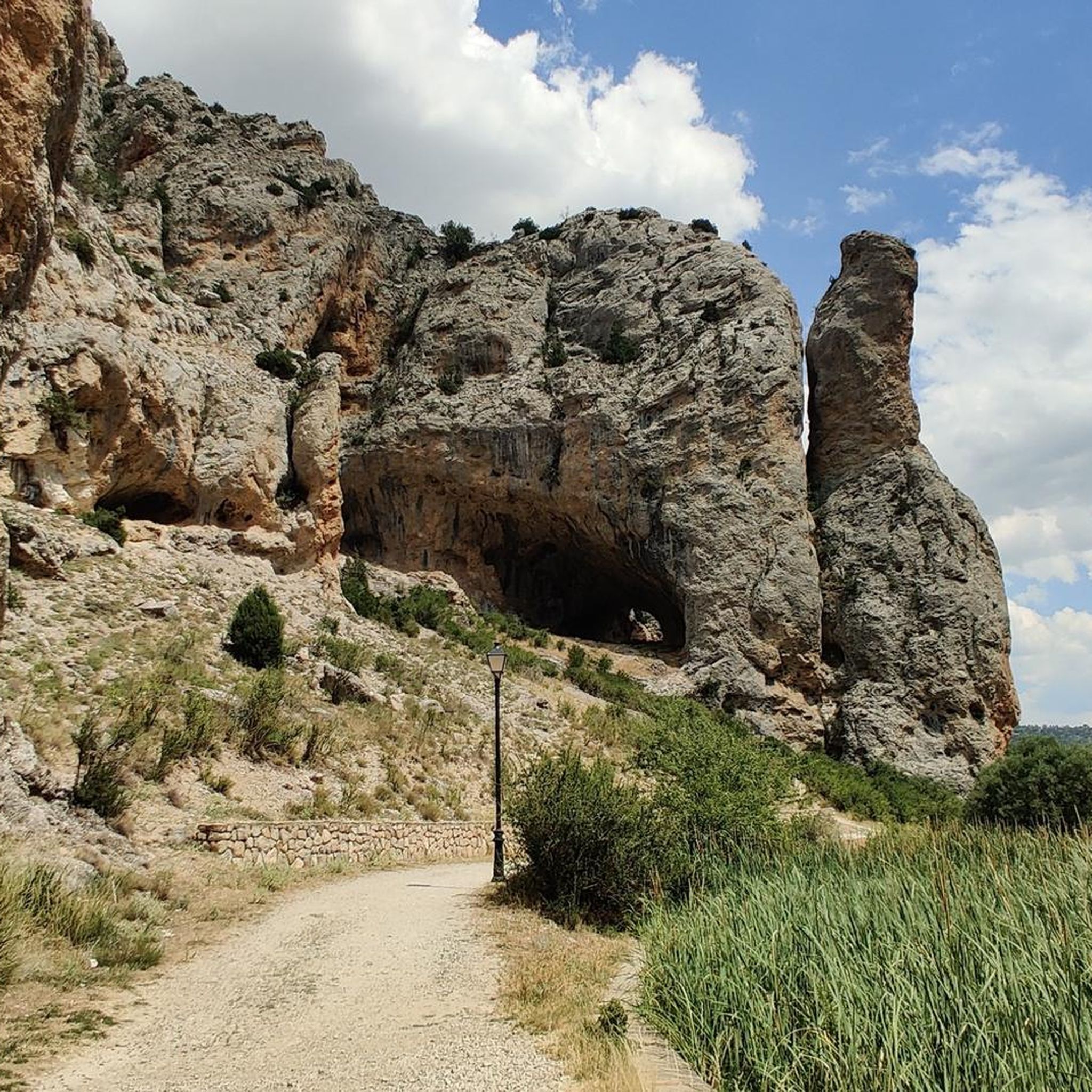
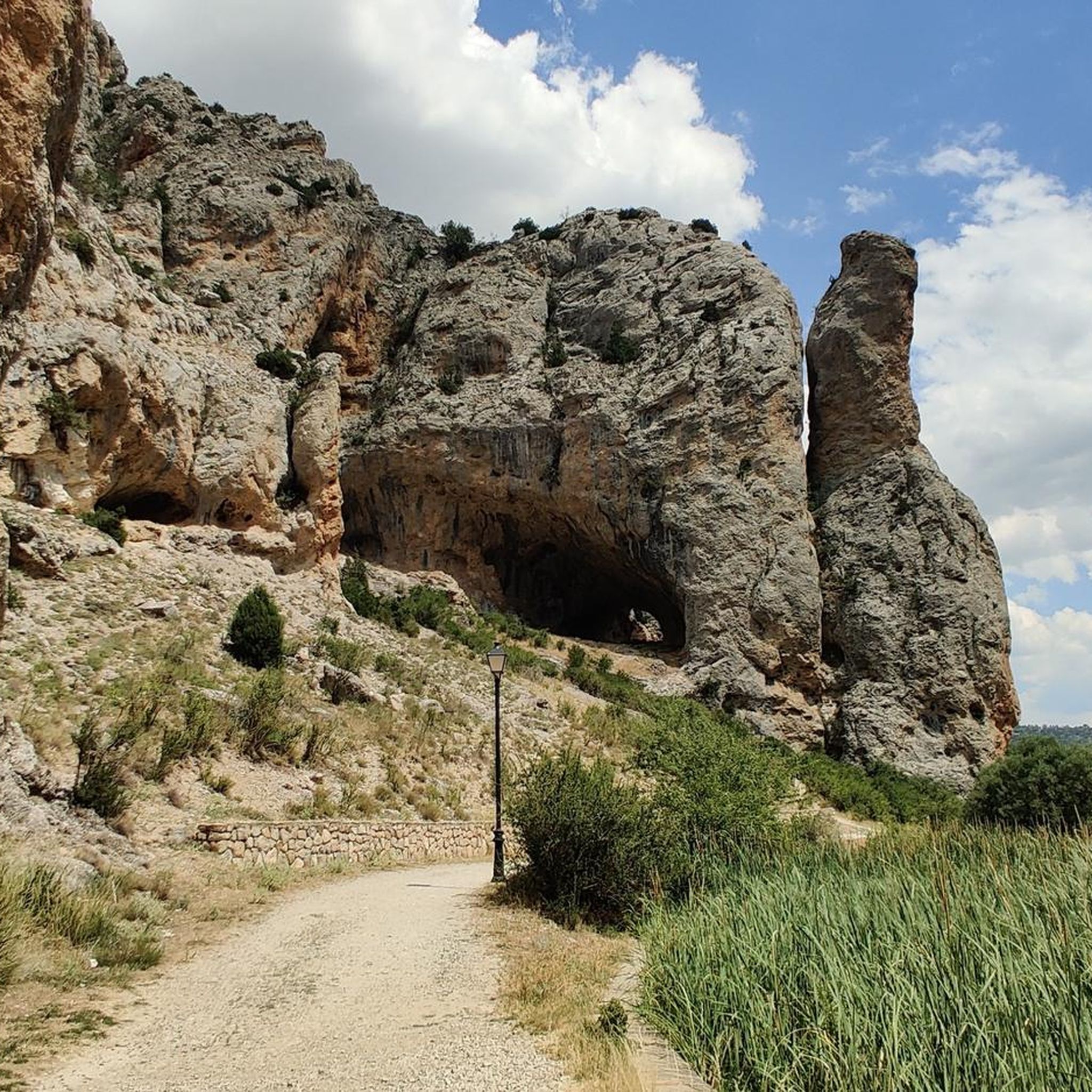
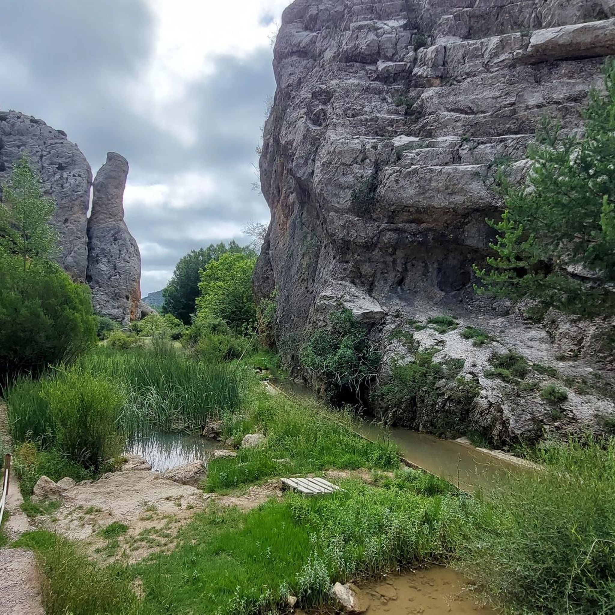
Beautiful asphalt road with a beautiful rock face towards a short gorge, with occasional possible stops
10
0

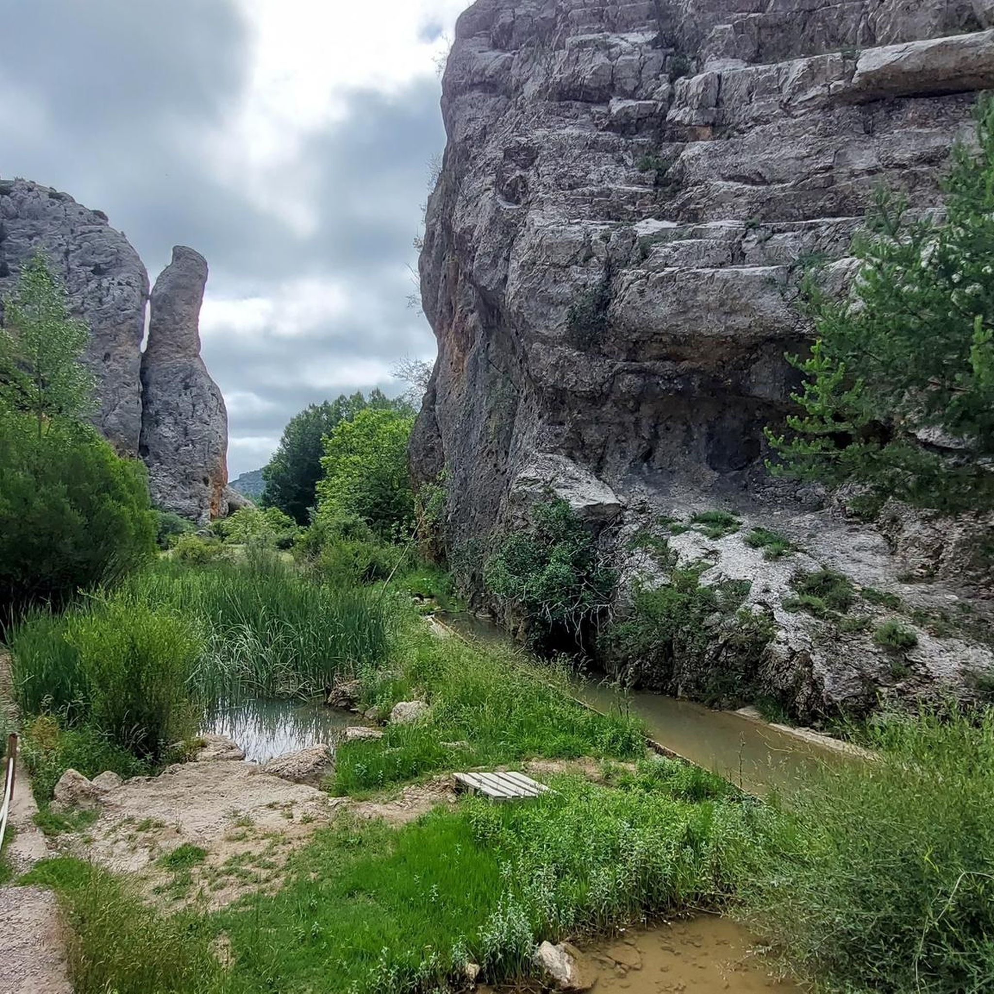
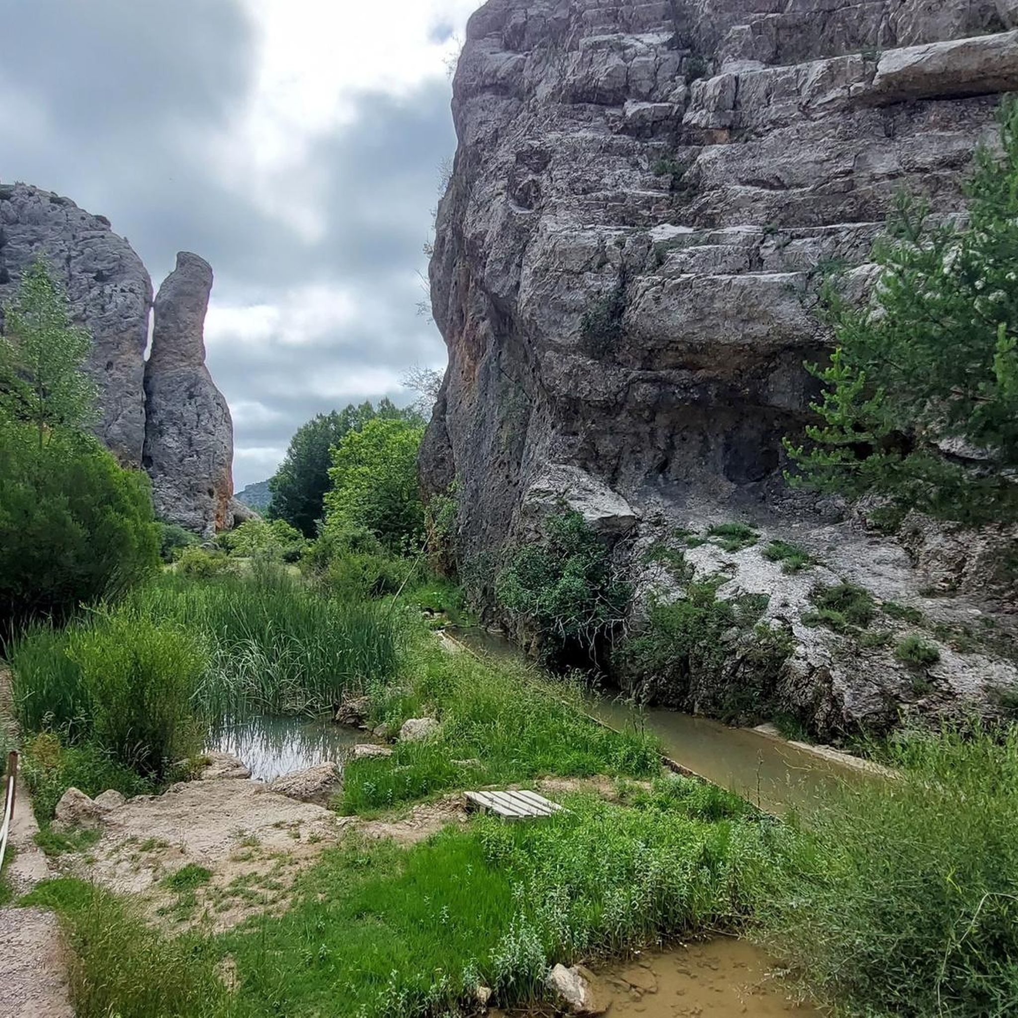
Everything about this place is beautiful
0
0
Viewpoint for the church offers a great view over the valley
0
0

The Cathedral of El Salvador is located in the center of Albarracín, a city known for its challenging terrain, perched on a hill surrounded by the Guadalaviar River gorge. The bell tower is not only a functional element for housing the bells, but also a key component in the cathedral's aesthetics and silhouette.
4
0
The official source of water is located at Fuente de García, in the Montes Universales, within the municipality of Frías de Albarracín (Teruel). It is located at an altitude of approximately 1,590 meters, surrounded by pine forests and high mountain meadows. Access is very easy and well signposted. Take the A-1704 highway, which connects Frías de Albarracín with Huélamo (Cuenca). From the highway, a paved detour of approximately 2 km takes you directly to the recreational area and the monument. There is free parking next to the monument.
10
0
Access is very easy and well signposted. Take the A-1704 highway, which connects Frías de Albarracín with Huélamo (Cuenca). From the highway, a paved detour of approximately 2 km takes you directly to the recreational area and the monument. There is free parking next to the monument.
5
0
The official source is located at Fuente de García, in the Montes Universales, within the municipality of Frías de Albarracín (Teruel). It is located at an altitude of approximately 1,590 meters, surrounded by pine forests and high mountain meadows.
5
0

It is a reference to the place where the longest river in Spain originates, stretching over 1,000 km and flowing into neighboring Portugal. These statues symbolize this point in the Albarracín mountain range.
8
0
Frequently Asked Questions
How many gravel bike trails are available around Calomarde?
Komoot currently lists a selection of gravel bike routes around Calomarde, primarily focusing on challenging tours. In addition to these, there are 13 highlights in the area that can inspire further exploration.
Are there any easy or beginner-friendly gravel bike routes in Calomarde?
The gravel biking routes around Calomarde are generally considered challenging, featuring substantial elevation gain and varied terrain. For example, the Orihuela del Tremedal – Griegos loop from Tramacastilla is a difficult route spanning over 100 km. Most routes in this region are better suited for experienced riders.
What is the best season for gravel biking in Calomarde?
Calomarde, located in the Sierra de Albarracín, experiences cold winters with potential snow and hot summers. The most pleasant seasons for gravel biking are typically spring (April to June) and autumn (September to October), when temperatures are milder and the landscape is vibrant.
Are there circular gravel bike routes available around Calomarde?
Yes, many of the gravel bike routes in the Calomarde area are designed as circular loops. For instance, the Albarracín – Peñas Royas Viewpoint loop from Albarracín and the Albarracín – Main Square loop from El Sabinar are both excellent circular options that allow you to start and finish in the same location.
What kind of terrain can I expect on gravel bike trails in Calomarde?
The terrain around Calomarde is characterized by a mix of unpaved roads and tracks, navigating through pine forests, river valleys, and elevated plateaus. You can expect varied surfaces, from compacted gravel to more rugged sections, often with significant ascents and descents as you traverse the Sierra de Albarracín.
Are there any gravel bike routes around 30 km in length?
Yes, there are routes that fit this length. The Albarracín – Peñas Royas Viewpoint loop from Albarracín is approximately 33 km, offering panoramic views. Another option is the Albarracín – Main Square loop from El Sabinar, which is about 28 km long.
What are some notable viewpoints or natural attractions along the gravel routes?
Many routes offer stunning views, such as the Albarracín – Peñas Royas Viewpoint loop, which provides panoramic vistas. The region is also home to natural highlights like the Barranco Mingo Marco gorge and the Source of the River Tagus, which can be explored as part of or near your gravel biking adventures.
Where can I find parking for gravel biking in Calomarde?
Starting points for many routes are often in or near villages like Tramacastilla, Albarracín, El Sabinar, or Guadalaviar. These villages typically offer public parking options, though availability may vary. It's advisable to check specific village parking facilities before your ride.
What do other gravel bikers enjoy most about gravel biking in Calomarde?
The area is appreciated by the komoot community for its challenging routes and natural beauty. Reviewers often praise the remote feel, the varied forest and open terrain, and the rewarding panoramic views from elevated points like Peñas Royas.
Are there any cafes or places to refuel along the gravel bike trails?
While the routes often navigate through remote areas, they connect small villages such as Albarracín, Tramacastilla, and Griegos. These villages are your best bet for finding cafes, restaurants, or small shops to refuel and rest during your ride. Always carry sufficient water and snacks, especially on longer, more remote sections.
Are there any particularly challenging gravel bike routes in the Calomarde area?
Yes, the Calomarde region is known for its challenging gravel bike routes. For example, the Griegos – Dehesa de Boyales loop from Guadalaviar covers nearly 50 km with significant elevation gain, making it a demanding option for experienced riders seeking a test of endurance.
Most popular attractions around Calomarde

Get inspired with the komoot mobile app


Explore more
Browse the best Gravel rides in other regions.
