The best gravel rides around Bérchules
4.0
(1)
19
riders
5
rides
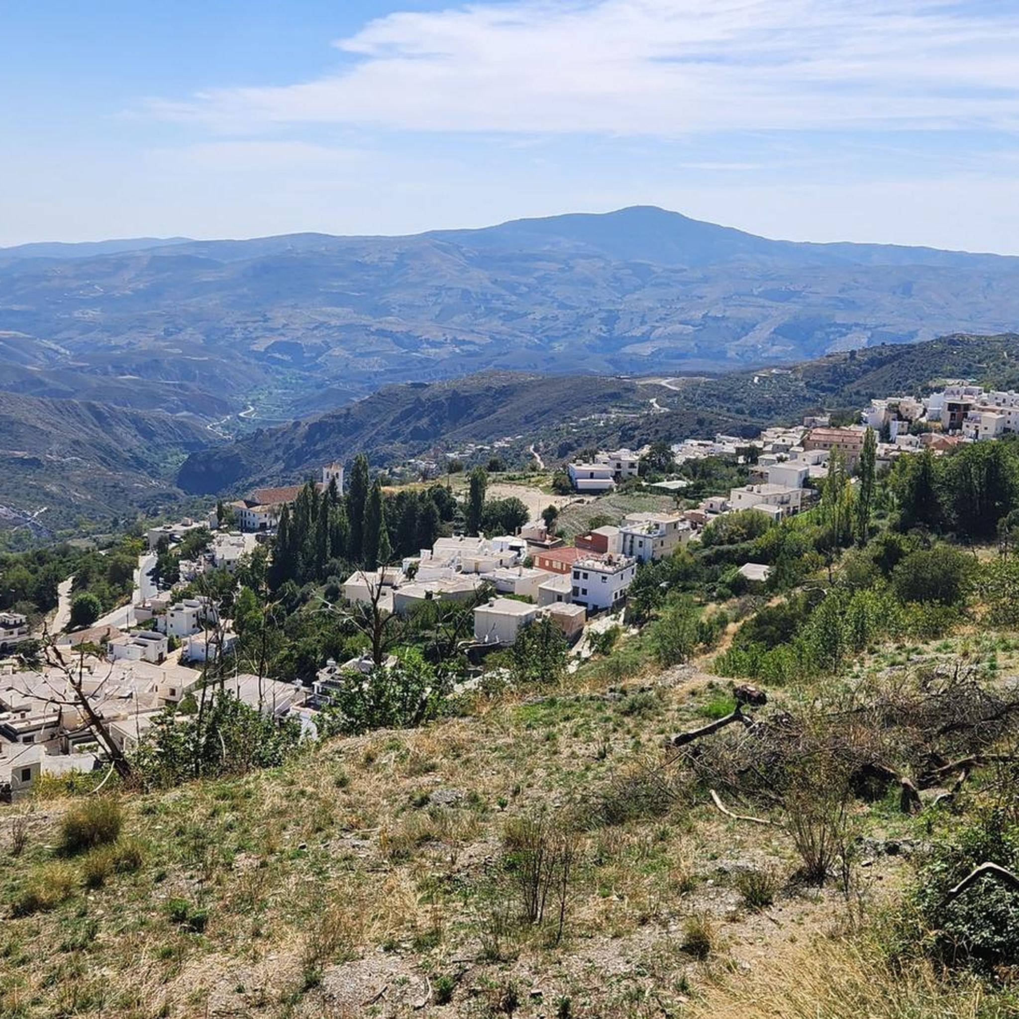
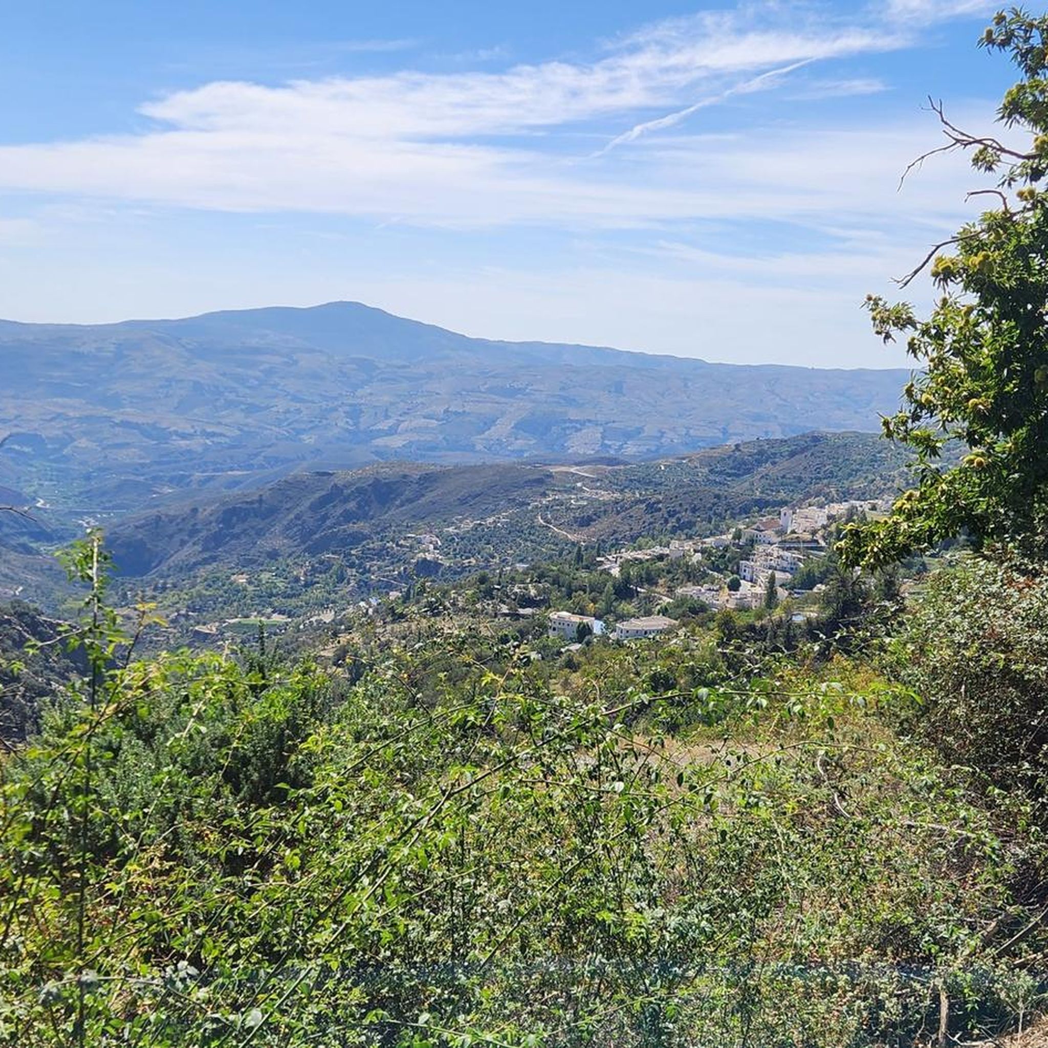
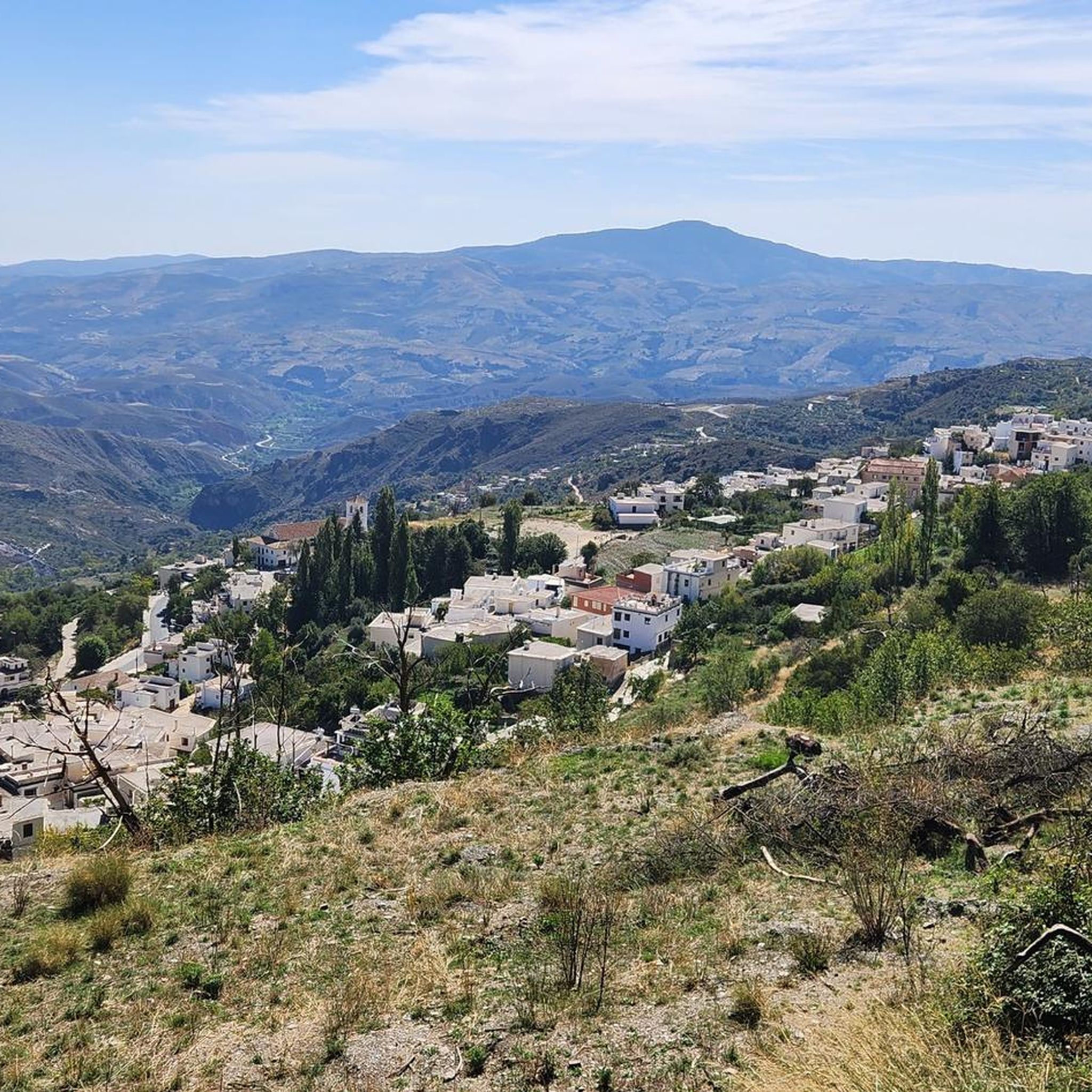
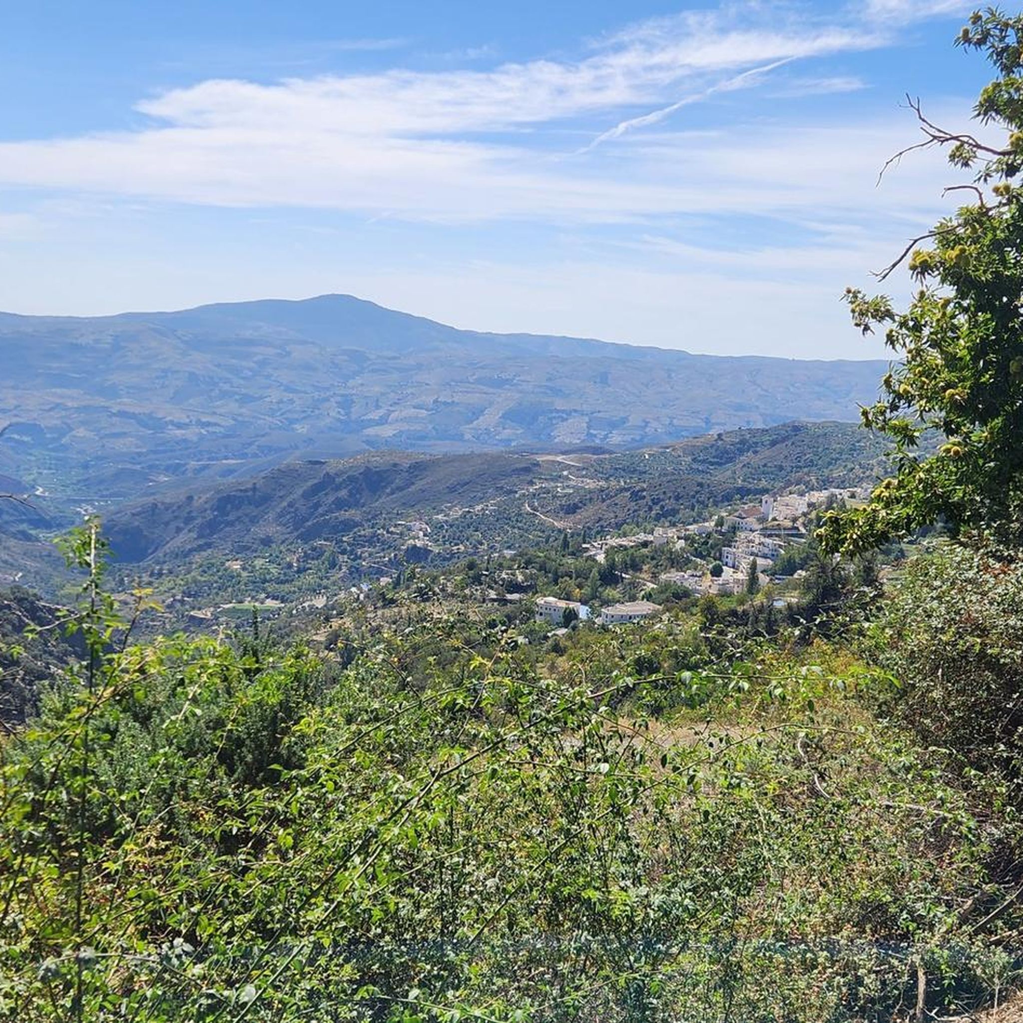
Gravel biking around Bérchules offers routes through the dramatic mountain scenery of the Sierra Nevada Natural Park in Andalucía, Spain. The region features an extensive network of deserted backroads and forest tracks, with routes often consisting of 80% to 90% gravel. High-altitude terrain, reaching approximately 2000 meters, provides challenging climbs and descents. The landscape transitions from cultivated terraces to remote areas with pine and olive trees, alongside ancient chestnut trees and poplar trees along river paths.
Best gravel bike trails…
Last updated: July 4, 2026
4.0
(1)
5
riders
71.5km
06:38
1,910m
1,910m
Hard gravel ride. Very good fitness required. Mostly paved surfaces. Suitable for all skill levels.
7
riders
45.1km
04:35
1,380m
1,380m
Hard gravel ride. Very good fitness required. Mostly paved surfaces. Suitable for all skill levels.

Sign up for free
4
riders
27.6km
02:22
900m
900m
Hard gravel ride. Very good fitness required. Mostly paved surfaces. Suitable for all skill levels.
2
riders
14.9km
01:26
400m
400m
Moderate gravel ride. Good fitness required. Mostly paved surfaces. Suitable for all skill levels.
1
riders
18.3km
01:38
550m
550m
Hard gravel ride. Very good fitness required. Mostly paved surfaces. Suitable for all skill levels.
Our route recommendations are based on thousands of hikes, rides, and runs completed by other people on komoot.
Start today with a free account
Your next adventure awaits.
Login or Signup
Popular around Bérchules




Tips from the Community

The Rambla del Repenil is a natural area located in the Alpujarra region of Granada, near Ugíjar. It remains dry for most of the year, but it collects torrential rainwater, forming a rugged landscape with eroded walls and abundant riparian vegetation.
1
0

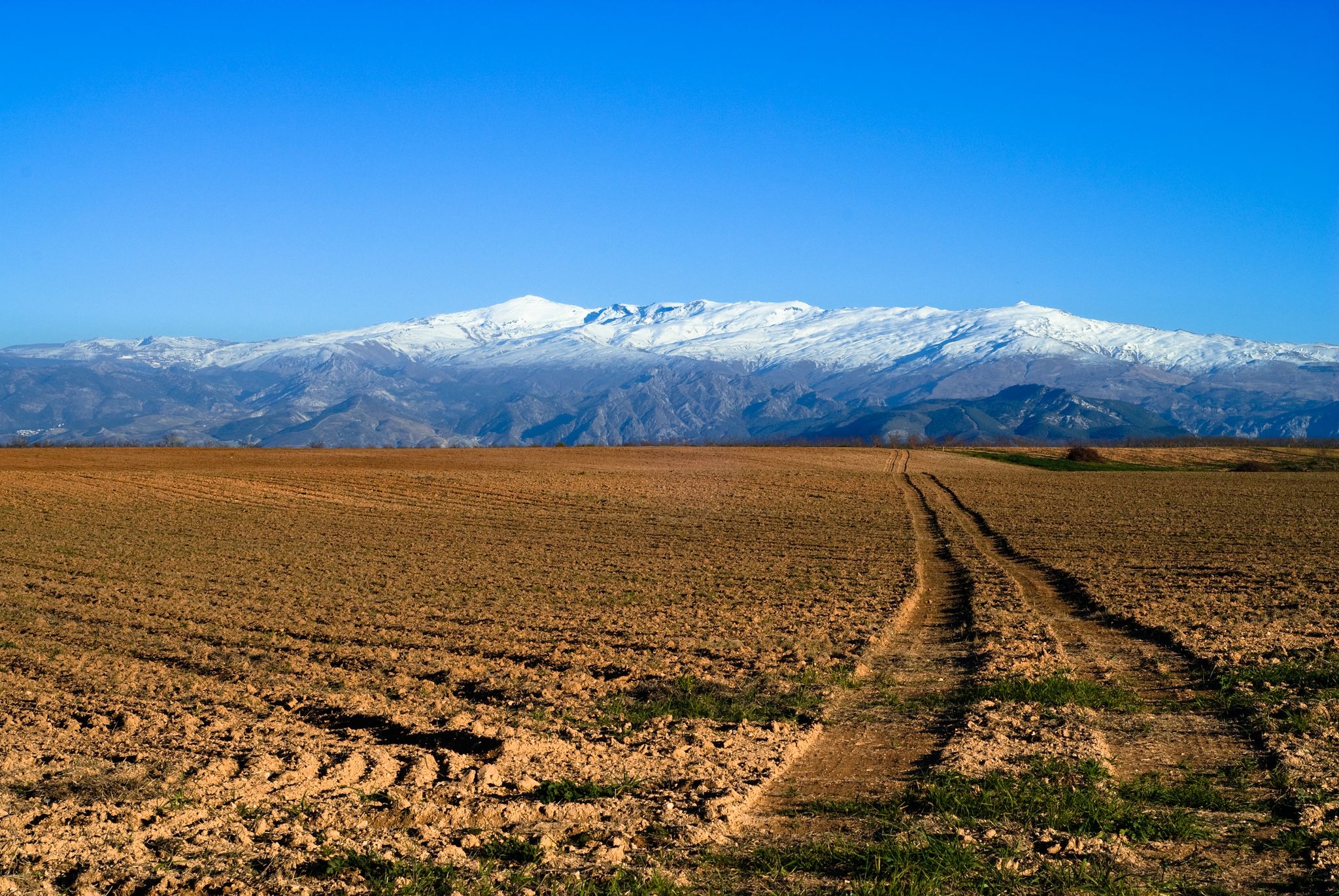
The view of the Sierra Nevada Mountains is breathtaking, with their soaring peaks dominating the horizon. On clear days, the contrast between their slopes and the sky creates a majestic and powerful landscape.
1
0

a beautiful are to ride a bike
0
0
An undiscovered village with great bars and shops.
0
0

This fabulous viewpoint located in Capileira is located at the foot of the slopes. It contemplates two different interpretation areas, although both share the fact of offering an impressive panoramic view. Access is through paths delimited by stones and, in addition, the equipment has different interpretive panels with information about the geological history of the area as well as its most notable fauna. In short, Puerto Molina is a must-see stop on the way up from Hoya del Portillo to the Trevélez viewpoint. The views of the southern part of the Sierra Nevada Natural Park on the one hand, with the Poqueira ravine, the Toril river and practically the entire line of three thousand before your eyes, and the contraviesa, Sierra de Lújar and the Mediterranean Sea, on the clearer days, on the other, make this emblematic place a special viewpoint.
0
0

Last stretch of pavement leaving Capileira before you hit the gravel access road to Sierra Nevada
0
0
Nice gravel road with manageable inclines. Nice views of Capileira and soundings. Bring water and food as there is nothing on the way. Happy trails
0
0

A pure water source to refuel with wonderfully cool water.
0
0
Frequently Asked Questions
What kind of terrain can I expect on gravel bike trails around Bérchules?
The gravel bike trails around Bérchules are primarily characterized by high-altitude mountain landscapes within the Sierra Nevada Natural Park. You'll find an extensive network of deserted backroads and forest tracks, with routes often consisting of 80% to 90% gravel. The terrain includes challenging climbs and descents, transitioning from cultivated terraces to remote areas with pine and olive trees, and ancient chestnut and poplar trees along river paths.
Are there any moderate gravel bike routes in Bérchules?
Yes, while many routes are challenging, there is at least one moderate option. The Repenil Dry Riverbed loop from Cádiar is a moderate 14.9 km trail with about 400 meters of elevation gain, typically completed in under 1.5 hours. This route offers a good introduction to the region's gravel biking without the intensity of the more difficult trails.
What natural features or landmarks can I see along the gravel bike trails?
The region is rich in natural beauty. You can encounter stunning panoramic views of the Alpujarra, and some routes, like the Las Chorreras Waterfall – Viewpoint Near Cáñar loop from Cádiar, pass by significant natural attractions such as waterfalls. The area is also home to natural springs like Fuente Agria and Fuente de las Carmelas. For specific natural highlights, consider visiting Hondera Lagoon, a glacial lake within the Sierra Nevada National Park, or exploring some of the prominent peaks like Mulhacén Summit or Peñabón.
What do other gravel bikers enjoy most about Bérchules?
The gravel biking experience in Bérchules is highly rated by the komoot community, with an average score of 4.0 stars. Reviewers often praise the dramatic mountain scenery, the extensive network of quiet gravel roads, and the challenging yet rewarding climbs and descents that offer expansive views of the Sierra Nevada mountains and the Alpujarra region.
Are there any circular gravel bike routes available?
Yes, several routes around Bérchules are designed as loops. For instance, the challenging Las Chorreras Waterfall – Viewpoint Near Cáñar loop from Cádiar and the Bérchules – View of Narila and Cádiar loop from Juviles are both circular routes. For a moderate option, the Repenil Dry Riverbed loop from Cádiar also forms a loop, allowing you to start and end in the same location.
What is the best time of year for gravel biking in Bérchules?
The region's high-altitude nature means that spring and autumn are generally the most favorable seasons for gravel biking. During these times, temperatures are milder, and the natural landscape is vibrant. Summer can be very hot, especially at lower elevations, while winter can bring snow to higher parts of the Sierra Nevada, making some trails inaccessible or requiring specialized gear.
Are there any routes that offer particularly good views?
Absolutely. The mountainous terrain around Bérchules provides numerous opportunities for stunning vistas. The Bérchules – View of Narila and Cádiar loop from Juviles is specifically highlighted for its expansive views through the Bérchules valley. Many other routes will also offer magnificent panoramic views of the Alpujarra and the Sierra Nevada peaks, especially from higher elevations.
What are the typical distances and elevation gains for gravel routes in this area?
The routes vary significantly. For example, a moderate route like the Repenil Dry Riverbed loop from Cádiar covers about 14.9 km with around 400 meters of elevation gain. More challenging routes, such as the Las Chorreras Waterfall – Viewpoint Near Cáñar loop from Cádiar, can be up to 71.5 km long with nearly 2000 meters of elevation gain, requiring significant fitness.
Can I find any routes that pass through traditional villages?
Yes, the Alpujarra region is known for its charming traditional villages. While specific routes are not listed as passing directly through Bérchules village, the Cádiar Village Center – View of Narila and Cádiar loop from Cádiar starts and ends in Cádiar, allowing you to experience a traditional Alpujarran village. Many gravel roads connect these whitewashed settlements, offering a glimpse into local life.
What is the overall difficulty level of gravel biking in Bérchules?
Gravel biking in Bérchules is generally considered challenging due to the high-altitude terrain and significant elevation changes. Out of the four routes listed, three are rated as 'difficult' and one as 'moderate'. This makes the area particularly appealing to experienced gravel bikers looking for demanding climbs and exhilarating descents.
Most popular routes around Bérchules
Most popular attractions around Bérchules

Get inspired with the komoot mobile app


Explore more
Browse the best Gravel rides in other regions.
