The best gravel rides around Lagunaseca
4.9
(10)
188
riders
5
rides
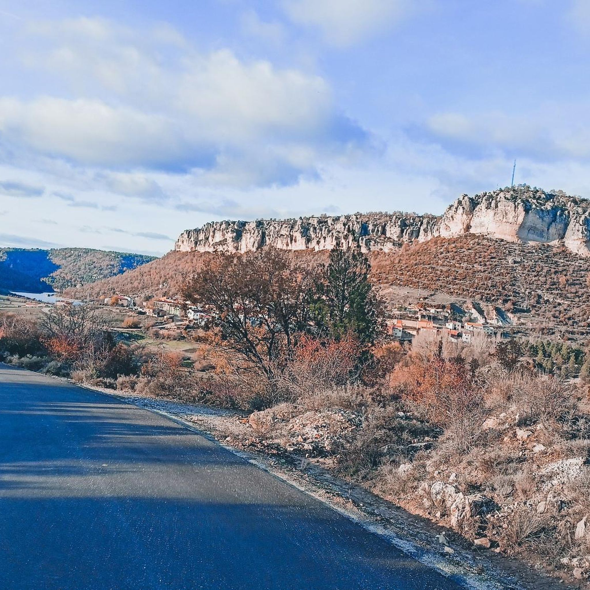
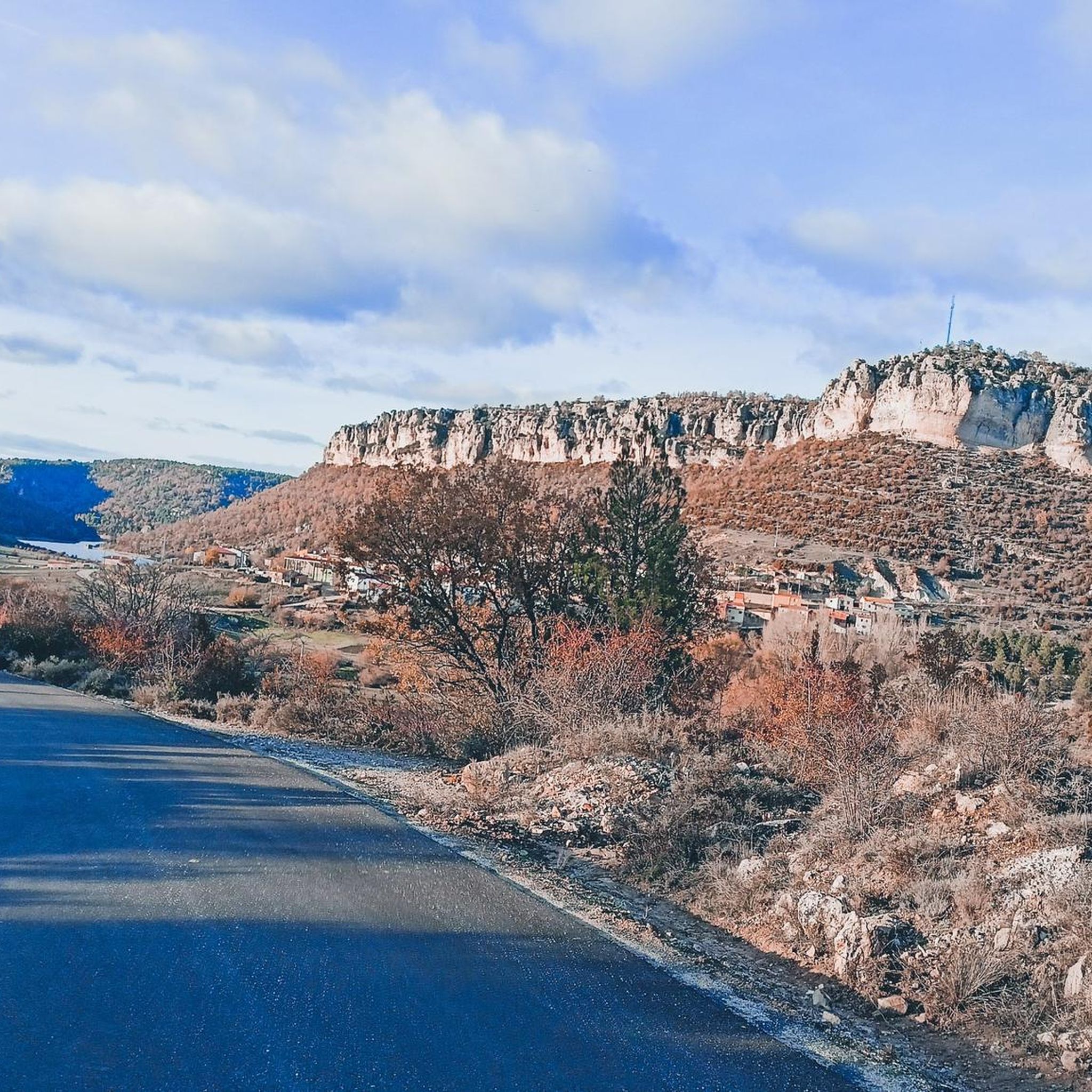
Gravel biking around Lagunaseca offers challenging routes through varied terrain. The region is characterized by significant elevation changes, river valleys, and natural viewpoints, providing a demanding environment for gravel cyclists. Routes often follow the Tagus River and traverse areas with notable natural features, requiring endurance and technical skill. The landscape includes a mix of open areas and potentially forested sections, typical of inland Spanish regions.
Best gravel bike trails around Lagunaseca
- The most popular gravel bike trail is Source of…
Last updated: July 4, 2026
4.6
(7)
114
riders
Hard gravel ride. Very good fitness required. Mostly paved surfaces. Suitable for all skill levels.
40
riders
152km
11:35
2,530m
2,530m
Hard gravel ride. Very good fitness required. Mostly paved surfaces. Suitable for all skill levels.

Sign up for free
11
riders
144km
11:50
2,680m
2,680m
Hard gravel ride. Very good fitness required. Mostly paved surfaces. Suitable for all skill levels.
3
riders
Hard gravel ride. Very good fitness required. Mostly paved surfaces. Suitable for all skill levels.
5.0
(1)
6
riders
50.9km
04:33
900m
900m
Hard gravel ride. Very good fitness required. Mostly paved surfaces. Suitable for all skill levels.
Our route recommendations are based on thousands of hikes, rides, and runs completed by other people on komoot.
Start today with a free account
Your next adventure awaits.
Login or Signup
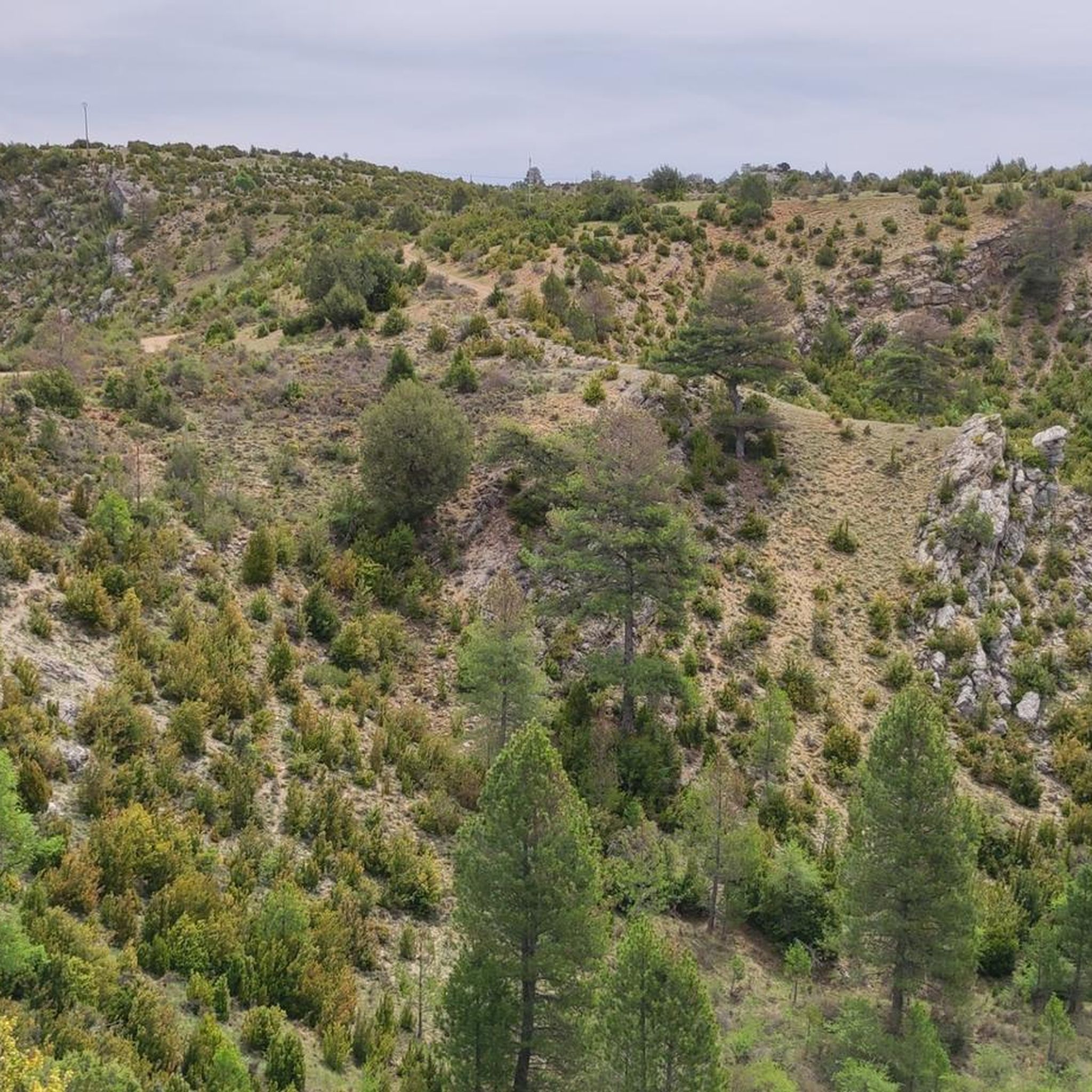
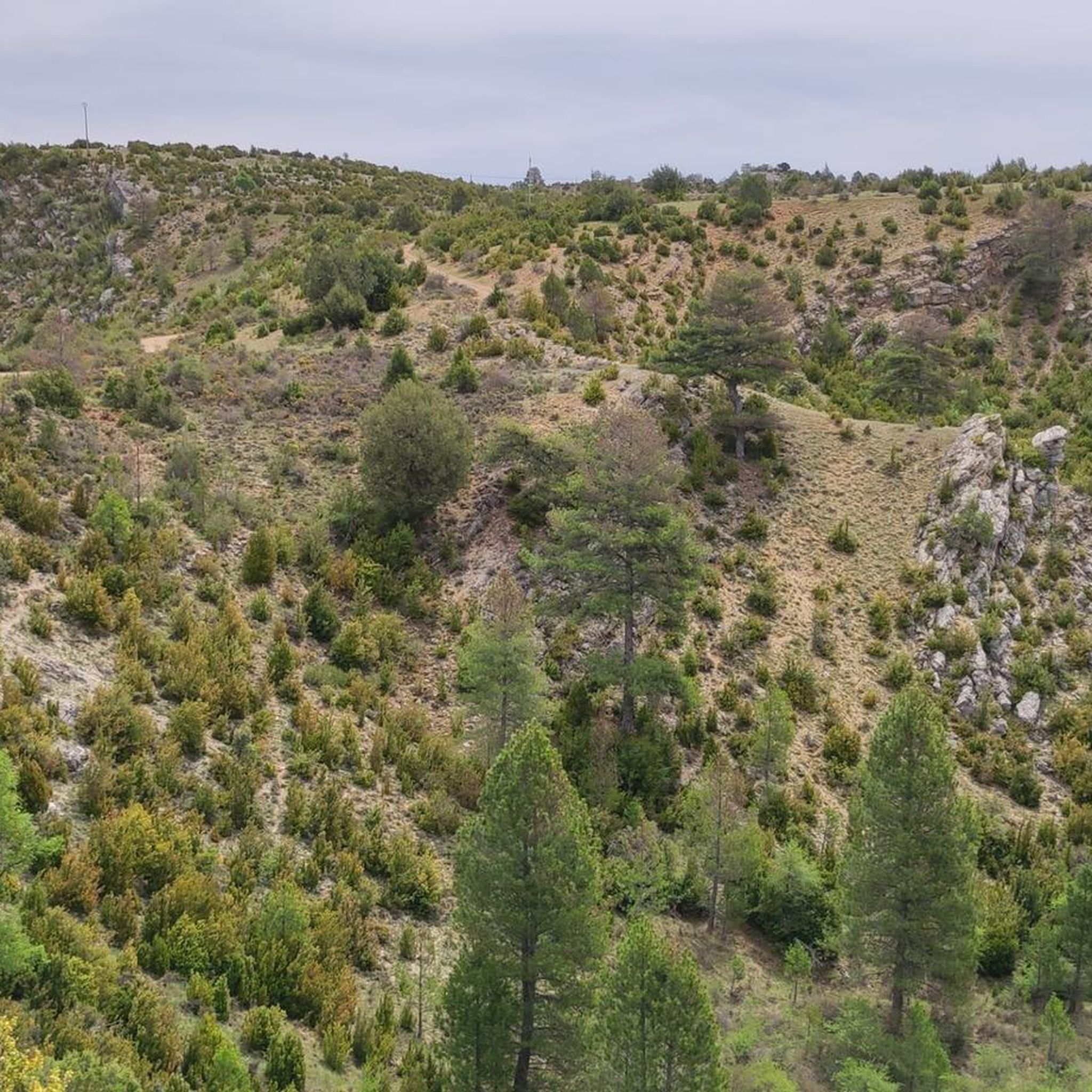
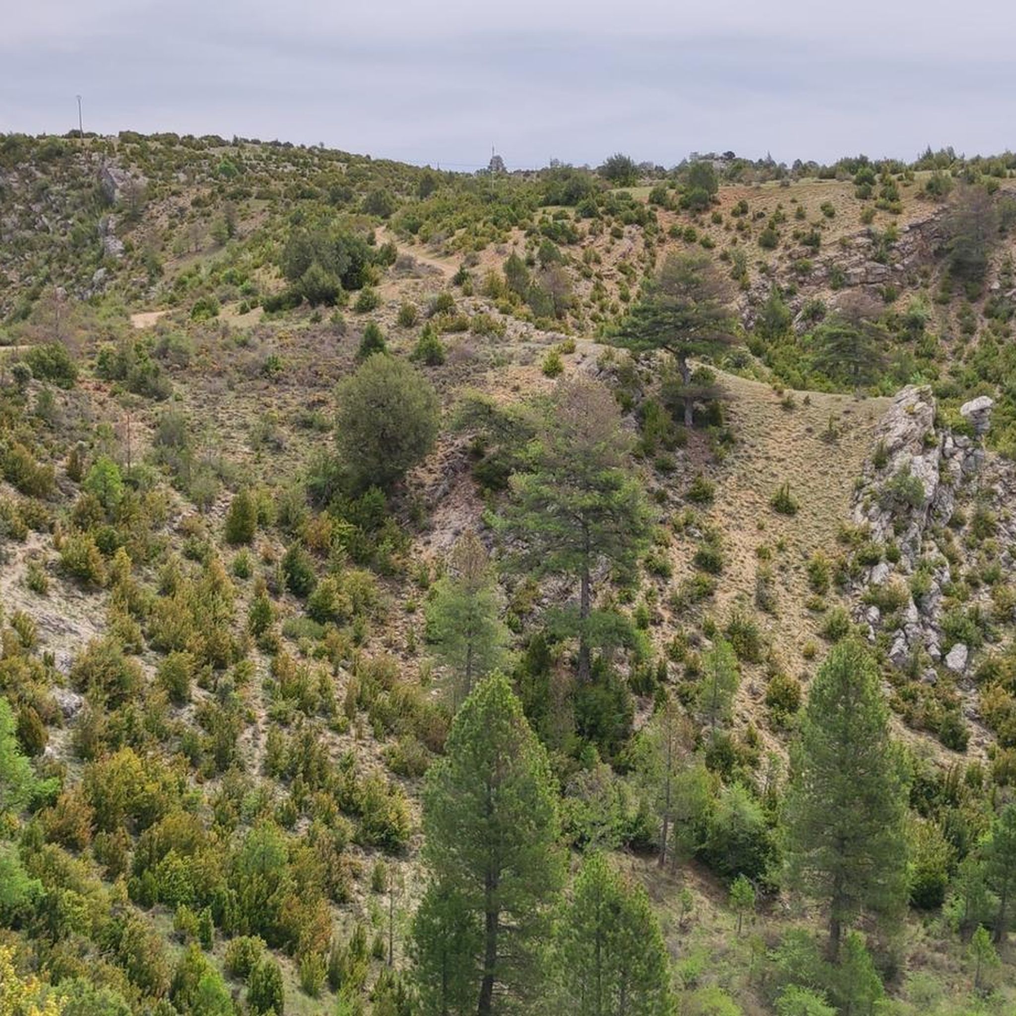
Tips from the Community

The Jucar River is approximately 500 km long and flows from the Montes Universales to Cullera, where it flows into the Gulf of Valencia.
4
0

Refuge in perfect condition for spending a night, it had four bunk beds, a fireplace area, and a small stable.
0
0

It's a shaded, cool rest area where you can relax and have a bite to eat on the stone benches. In Peralejos, there's a small grocery store where you can buy food or toiletries.
9
0
This spectacular bridge is almost hidden from view and serves as an excuse to cross the Tagus River from one bank to the other. It is very well preserved and is located next to several striking rock faces.
9
0
They are a series of rural houses called "El Salto" (The Salto) located in a privileged setting, very close to the Tajo suspension bridge, and are accessed from the road via a dirt forest track. This place also has a small restaurant where you can have lunch and spend some pleasant moments.
9
0
This viewpoint is located in a privileged place in front of a spectacular rocky cliff, which if you pass by on your bike on a hot day when the heat reflects its image on this wall... I think you'll have to stop and rest for a few seconds.
9
0
This descending valley, which runs alongside the Tagus River for many kilometres, is full of unique and unrepeatable corners, due to the capricious formations that occur every few metres.
9
0
This is undoubtedly one of the Tagus's great wonders. Crossing the beautiful river on a suspension bridge like this one, where motor vehicles are prohibited, reduces the number of crossing options. Walkers and cyclists can enjoy the oscillating motion experienced by the bridge's anchorage. Absolutely recommended!
7
0
Frequently Asked Questions
What is the general difficulty level of gravel biking trails around Lagunaseca?
Gravel biking routes in Lagunaseca are generally classified as difficult. They feature significant elevation changes, river valleys, and varied terrain, making them best suited for experienced gravel bikers seeking demanding adventures.
Are there any long-distance circular gravel bike routes in Lagunaseca?
Yes, Lagunaseca offers several challenging long-distance circular routes. For example, the Source of the Tagus River – The towers of Chequilla loop from El Perchel is a demanding 128.5 km ride with over 2,200 meters of elevation gain. Another option is the Trail along the Tajo River – Beteta loop from Estacionamiento de tierra / Escalón pronunciado para bajar!, covering 107.2 km through the Tajo River valley.
Where can I find parking for gravel biking in Lagunaseca?
Many of the gravel routes in the area, such as the Trail along the Tajo River – Beteta loop and the Beteta – Refugio de la Alconera loop, start from locations like 'Estacionamiento de tierra / Escalón pronunciado para bajar!', indicating available parking areas at trailheads.
What kind of natural viewpoints can I expect on the gravel bike routes?
The region is known for its natural viewpoints. You can find stunning vistas such as the Estrecho del Horcajo Viewpoint, which is featured on routes like the Estrecho del Horcajo Viewpoint – Puente de Peñalén loop. These offer panoramic views of the river valleys and surrounding landscapes.
Are there any waterfalls or other natural monuments to see along the trails?
Yes, the area around Lagunaseca is rich in natural monuments. You can encounter the beautiful Cuervo River Waterfall and the Source of the Cuervo River. The Laguna Grande de El Tobar is another notable natural attraction nearby.
What do other gravel bikers enjoy most about gravel biking in Lagunaseca?
The area is highly rated by the komoot community, with an average score of 4.8 stars. Reviewers often praise the challenging climbs, panoramic viewpoints, and the demanding yet rewarding nature of the routes through varied terrain and river valleys.
Are there any shorter, yet still challenging, gravel routes available?
While all routes are difficult, you can find slightly shorter options that still offer a significant challenge. The Estrecho del Horcajo Viewpoint – Puente de Peñalén loop from Peralejos de las Truchas is 50.9 km with nearly 900 meters of elevation gain, providing a demanding ride in a more condensed format.
What is the best time of year for gravel biking in Lagunaseca?
Given the significant elevation changes and varied terrain, spring and autumn generally offer the most pleasant conditions for gravel biking in Lagunaseca, with milder temperatures. Summers can be hot, and winters may present colder conditions, especially at higher elevations.
Are there any towns or settlements near the gravel trails where I can find amenities?
Yes, the town of Beteta is a notable settlement in the area, often featured in route names like the Beteta – Refugio de la Alconera loop. It can serve as a point for amenities or a starting/ending point for your rides.
How many gravel bike trails are available in the Lagunaseca region?
There are 4 distinct gravel bike trails documented in the Lagunaseca region, all of which are classified as difficult and offer challenging experiences for riders.
Can I expect river crossings or rides along river valleys?
Yes, the region is characterized by its river valleys. Many routes, such as the Trail along the Tajo River – Beteta loop, follow the Tagus River and explore its valleys, providing scenic and often demanding sections.
Most popular attractions around Lagunaseca

Get inspired with the komoot mobile app


Explore more
Browse the best Gravel rides in other regions.
