The best walks and hikes around Morata De Jiloca
19
hikers
5
hikes
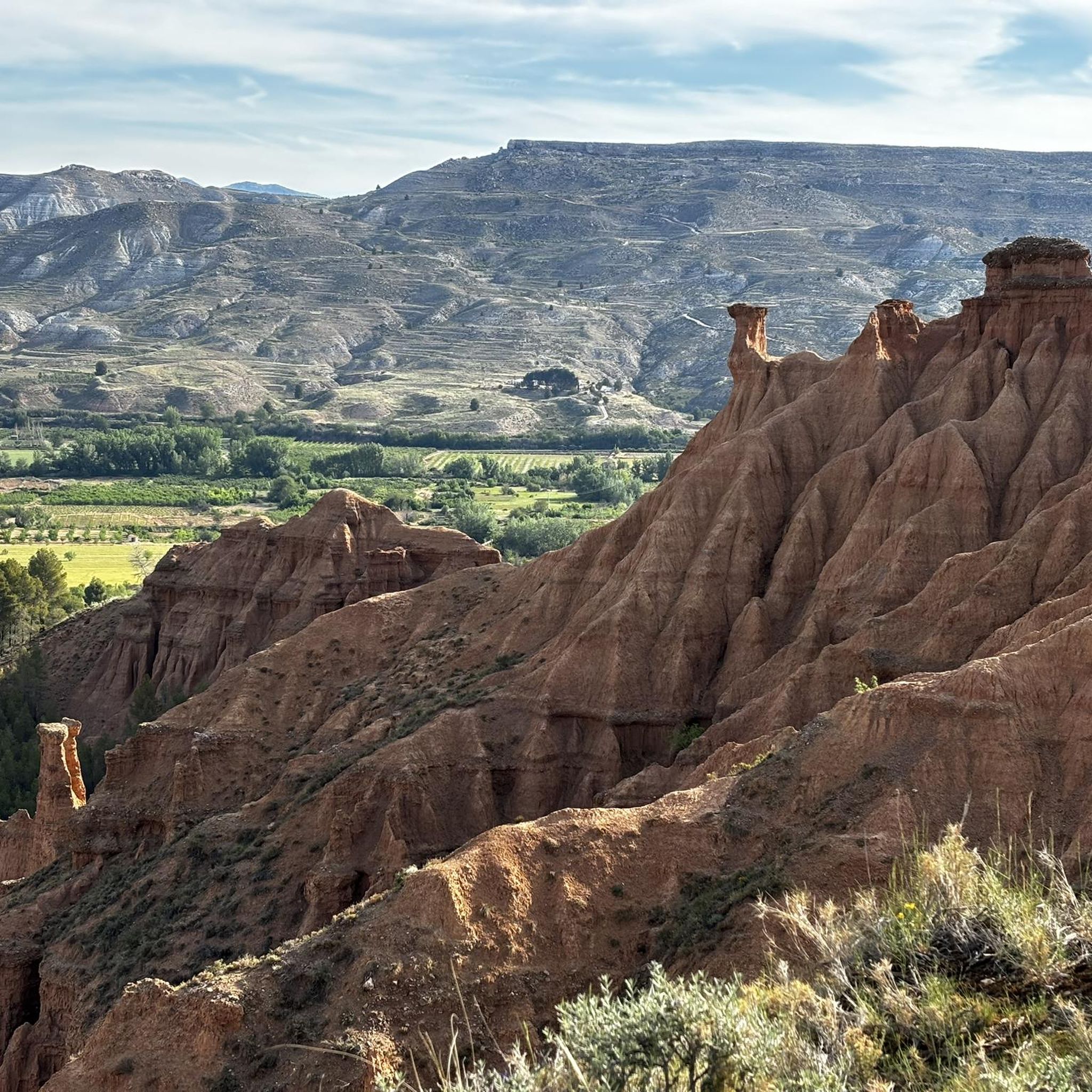
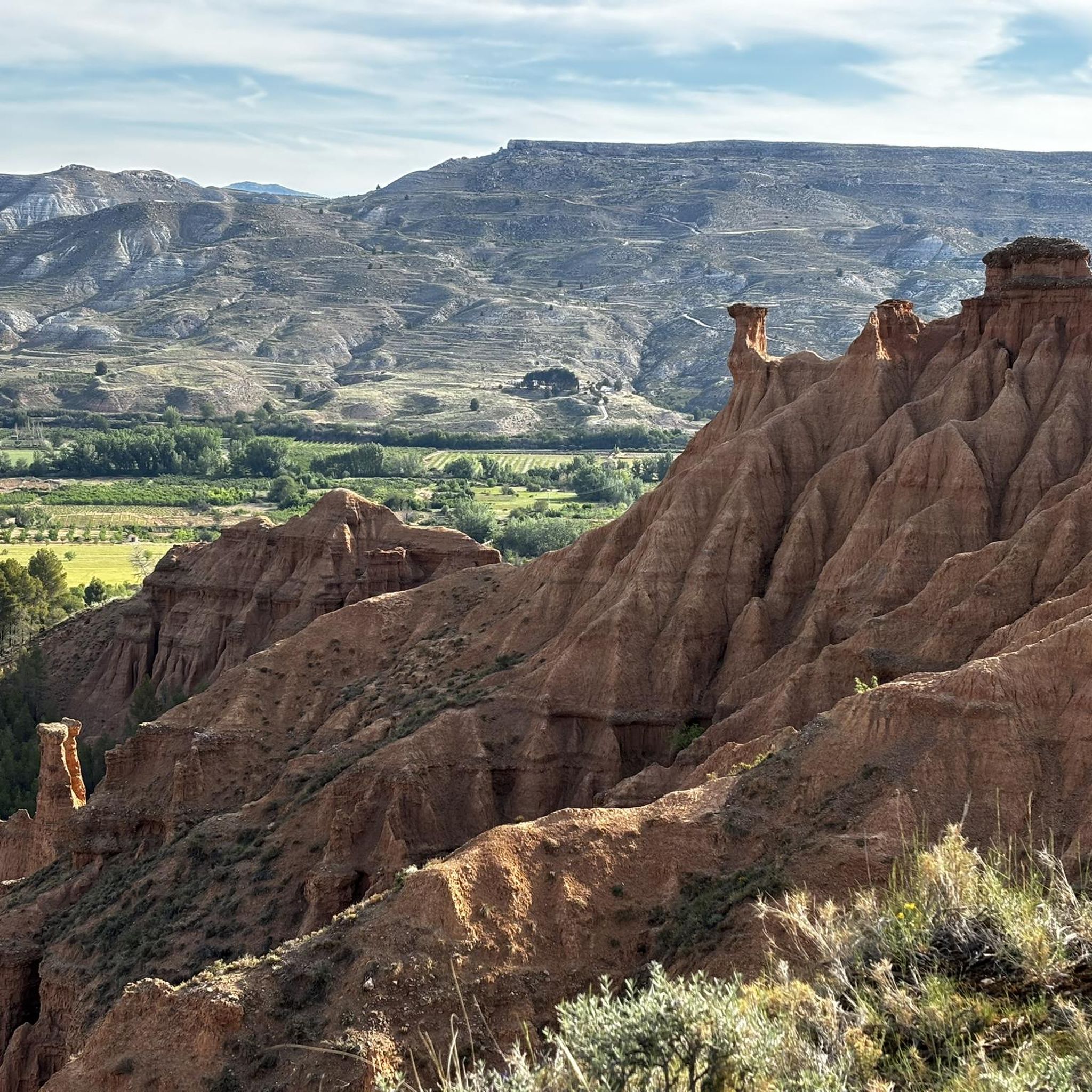
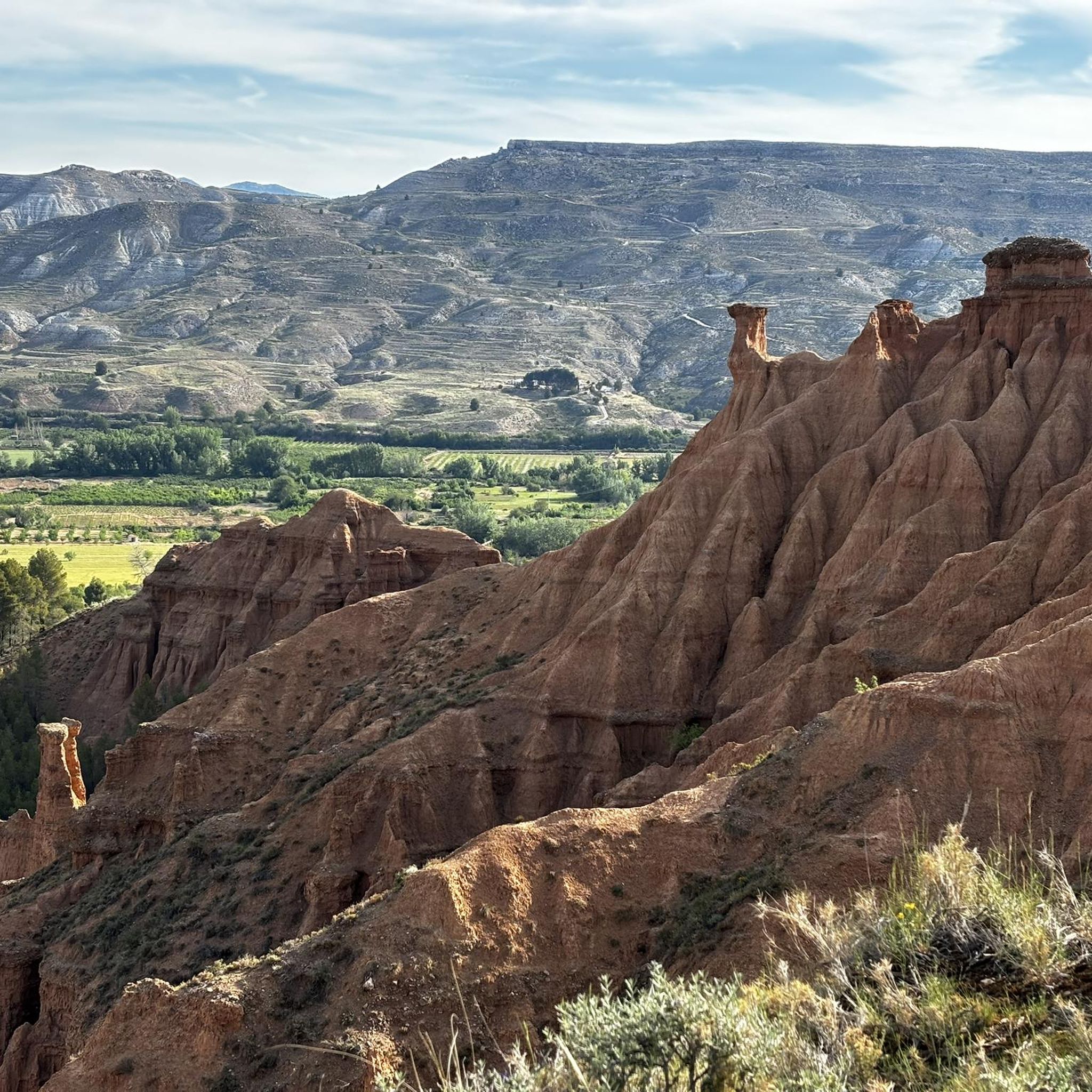
Hiking around Morata De Jiloca offers access to a landscape characterized by distinctive gullies formed by rain and wind on gypsum soil, alongside the Jiloca River valley. The terrain transitions from lush riverine vegetation to more arid, steppe-like environments, providing varied backdrops for exploration. This region features a mosaic of natural woodland formations, pine forests, scrubland, and pastureland, with elevations that include hills rather than high peaks. The area is integrated into regional hiking networks, providing established trails for different…
Last updated: July 3, 2026
5
hikers
9.15km
02:22
50m
50m
Moderate hike. Good fitness required. Easily-accessible paths. Suitable for all skill levels.
5
hikers
16.6km
05:25
750m
750m
Hard hike. Very good fitness required. Easily-accessible paths. Suitable for all skill levels.

Sign up for free
5
hikers
12.0km
03:05
60m
60m
Moderate hike. Good fitness required. Easily-accessible paths. Suitable for all skill levels.
2
hikers
11.5km
03:14
240m
240m
Moderate hike. Good fitness required. Easily-accessible paths. Suitable for all skill levels.
2
hikers
18.3km
04:58
270m
270m
Moderate hike. Good fitness required. Easily-accessible paths. Suitable for all skill levels.
Our route recommendations are based on thousands of hikes, rides, and runs completed by other people on komoot.
Start today with a free account
Your next adventure awaits.
Login or Signup
Popular around Morata De Jiloca
Tips from the Community

It is the highest point for many kilometers in the surrounding area (next to Pico de la Nevera, which cannot be accessed because it is a military installation). In summer there are fire surveillance personnel because it is a place with impressive views.
0
0

We are at the Pico del Rayo, the highest peak of the Sierra de Victor at 1427 masl with magnificent views of the Iberian System and Moncayo.
0
0

Maluenda is a small town in the province of Zaragoza on the banks of the Jiloca River. The ruins of an Arab fortress from the 9th century stand out, as well as the Mudejar tower of the church of Santa María and the Albarrana tower. The town also has a couple of bars where you can taste local products.
2
0

The peak of Rayo with 1,427 meters of altitude, is the highest peak of the Sierra Vicor. It is the second highest peak in the Iberian System of Zaragoza after Moncayo.
10
0
Frequently Asked Questions
How many hiking trails are available around Morata de Jiloca?
There are 5 hiking routes documented around Morata de Jiloca, offering a range of experiences from moderate to difficult. These trails allow you to explore the unique landscapes of the Jiloca River valley and its surroundings.
What kind of landscapes can I expect to see while hiking in Morata de Jiloca?
The region is known for its distinctive landscapes, particularly the surprising gullies formed by the action of rain and wind on gypsum soil. You'll also experience the scenic Jiloca River valley, which transitions from lush riverine vegetation to more arid, steppe-like environments, providing a diverse backdrop for your hikes.
Are there any long-distance hiking trails accessible from Morata de Jiloca?
Yes, Morata de Jiloca is part of the broader PR-Z 093: Calatayud - Morata de Jiloca - Miedes de Aragón route. This significant trail covers approximately 40 miles (64.9 km) with a cumulative elevation gain of 3,266 feet (825m), offering a challenging and rewarding multi-stage experience through the Jiloca River valley.
What are some notable points of interest or landmarks to look out for on hikes near Morata de Jiloca?
While hiking, you can discover several interesting landmarks. These include the Church of Our Lady of the Assumption of Munébrega, the historic Maluenda castle, and the serene Hermitage of Our Lady of the Martyrs. You might also encounter the charming settlement of Villafeliche and the Old Railway Bridge.
Are there any circular hiking routes in the area?
Yes, there are several circular routes available. For example, you can try the Maluenda – View of Daroca loop from Paracuellos de Jiloca, which is a moderate 9.26 km hike. Another option is the Maluenda loop from Maluenda, a longer moderate route spanning 18.3 km.
What is the most challenging hike around Morata de Jiloca?
The most challenging hike listed is the Pico del Rayo loop from Sediles. This difficult route covers 16.6 km and involves a significant elevation gain of over 750 meters, offering a strenuous but rewarding experience for experienced hikers.
What is the best time of year to go hiking in Morata de Jiloca?
The region experiences hot, dry summers and cold winters. Spring and autumn generally offer the most pleasant hiking conditions with milder temperatures, making them ideal for exploring the trails. Early mornings or late afternoons are also recommended during warmer months to avoid the midday heat.
Are there any easy hiking options for beginners or families?
While the listed routes are primarily moderate to difficult, the broader area around Morata de Jiloca, including nearby Paracuellos de Jiloca, offers diverse hiking options. These often include easier walks along agricultural paths and varied terrain, suitable for those seeking a less strenuous experience. It's advisable to check individual route details for specific difficulty levels.
Can I find parking near the hiking trails in Morata de Jiloca?
Many hiking trails in the Morata de Jiloca region, especially those starting from or passing through towns like Paracuellos de Jiloca or Maluenda, typically have parking available in or near the village centers. It's always a good idea to check local signage upon arrival for designated parking areas.
What kind of natural features define the hiking experience in this region?
The hiking experience is largely defined by the unique geological formations of the gullies, which are a result of erosion on gypsum soil. Additionally, the Jiloca River valley itself is a prominent feature, providing varied terrain from lush riverbanks to more arid, steppe-like environments, and a mosaic of natural woodland, pine forests, and scrubland.
Are there any viewpoints along the hiking trails in Morata de Jiloca?
Yes, the region's unique gullies often lead to pleasant paths that open up to viewpoints where you can marvel at these geological phenomena. Routes like the View of Daroca loop from Paracuellos de Jiloca are specifically named for their scenic vistas, suggesting opportunities for panoramic views.
Most popular routes around Morata De Jiloca
Most popular attractions around Morata De Jiloca

Get inspired with the komoot mobile app


Explore more
Browse the best Hikes in other regions.
