The best gravel rides around Bellignat
4.2
(4)
28
riders
2
rides
Gravel biking around Bellignat, situated in the Ain department near the Jura Mountains in France, offers diverse landscapes and an extensive network of trails. The region features a mix of hilly areas, plains, and dense forests, alongside numerous lakes such as Lac Genin and Lac de Nantua. Riders can expect varied terrain, including cool undergrowth, agricultural fields, scenic ridges, and paths through valleys and plateaus. This area provides a comprehensive network of forest paths and trails suitable for gravel biking.
…Last updated: July 5, 2026
4.5
(2)
13
riders
39.8km
02:48
760m
760m
Hard gravel ride. Very good fitness required. You may need to push your bike for some segments of this route.
9
riders
134km
10:21
3,050m
3,050m
Hard gravel ride. Very good fitness required. Mostly paved surfaces. Suitable for all skill levels.

Sign up for free
3
riders
34.0km
02:31
660m
660m
Hard gravel ride. Very good fitness required. You may need to push your bike for some segments of this route.
5.0
(1)
2
riders
30.8km
02:14
760m
760m
Hard gravel ride. Very good fitness required. Mostly paved surfaces. Suitable for all skill levels.
2
riders
40.7km
02:52
770m
770m
Hard gravel ride. Very good fitness required. Mostly paved surfaces. Suitable for all skill levels.
Our route recommendations are based on thousands of hikes, rides, and runs completed by other people on komoot.
Start today with a free account
Your next adventure awaits.
Login or Signup
Tips from the Community

The ruin is very beautiful, panels indicate the history of the site, very instructive! Calm and relaxing, the site offers a magnificent setting and allows for nice picnic breaks!
0
0

The Lac de Nantua is a superb body of water of 141 hectares. In the heart of the Jura, it offers an ideal setting for practicing a multitude of sports. It is even possible to swim in its waters.
1
0
The Peney viewpoint overlooks Lake Sylans, on which it offers a beautiful view. Classified since 1909, one can distinguish on its banks the ruins of the old ice factories which commercialized the ice extracted from the lake until 1917. The passage is located at the level of the tunnel of the same name.
0
0
The Marron ponds are named after a family from Brénod, it is not a reference to the color of the water. Only one of them remains filled with water all year round. This one served as a water reserve and fishing spot for the monks of the Meyriat abbey. In spring, a multitude of water lilies cover the surface.
0
0

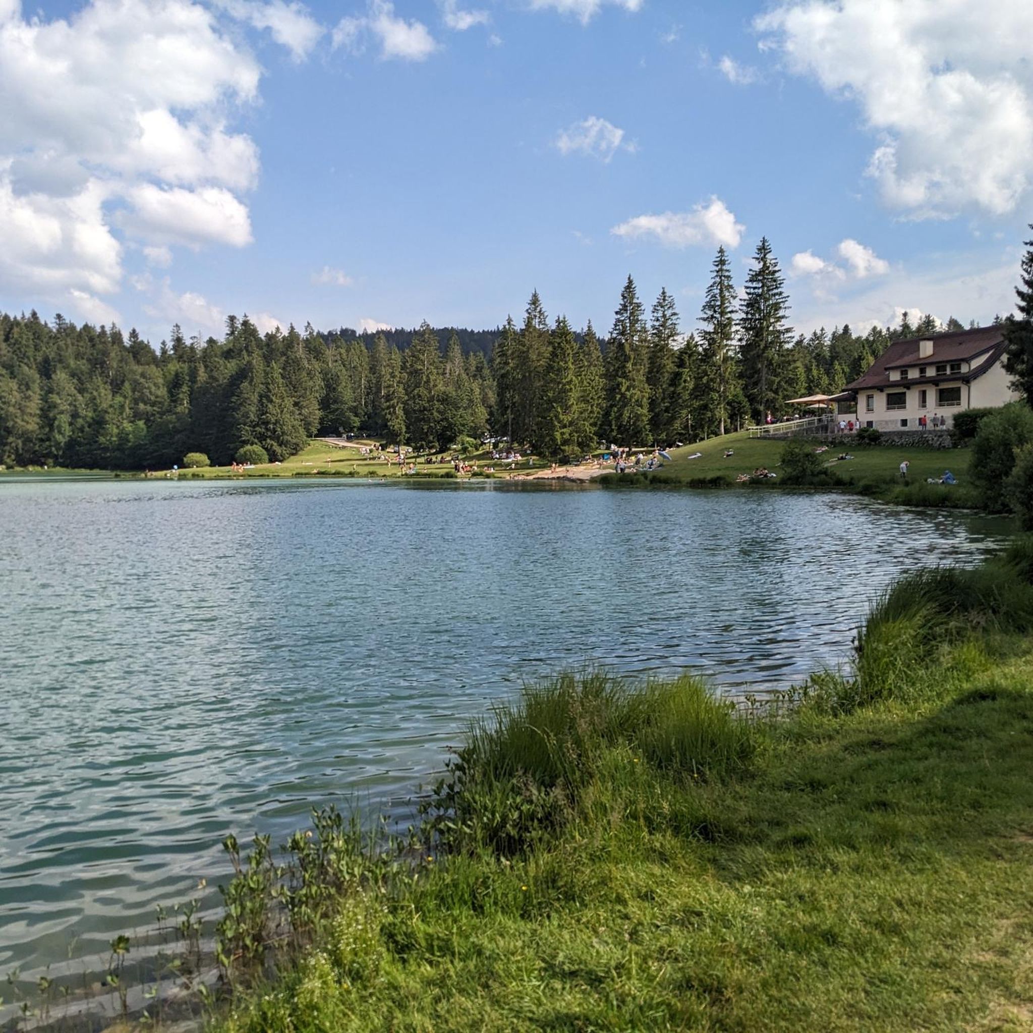
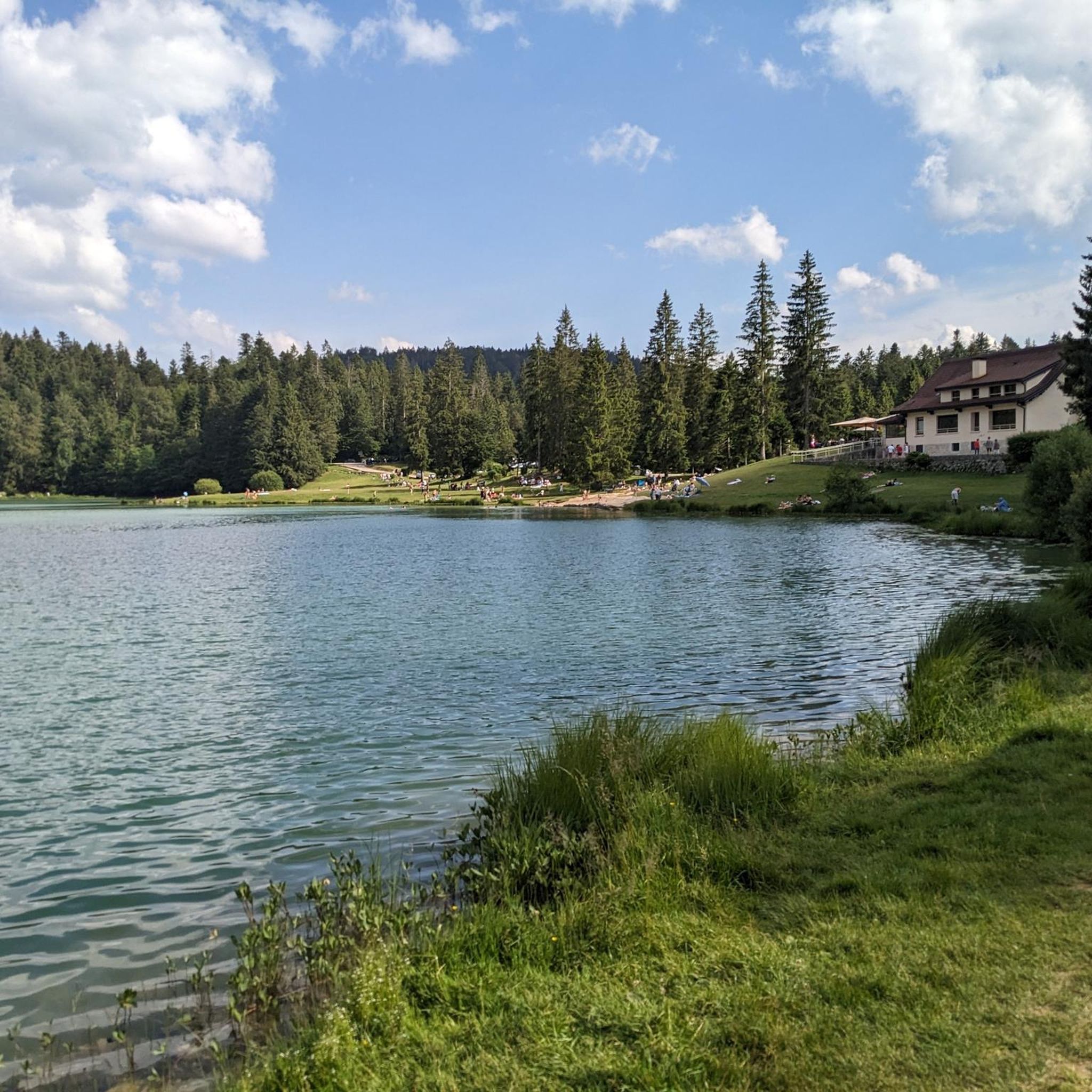
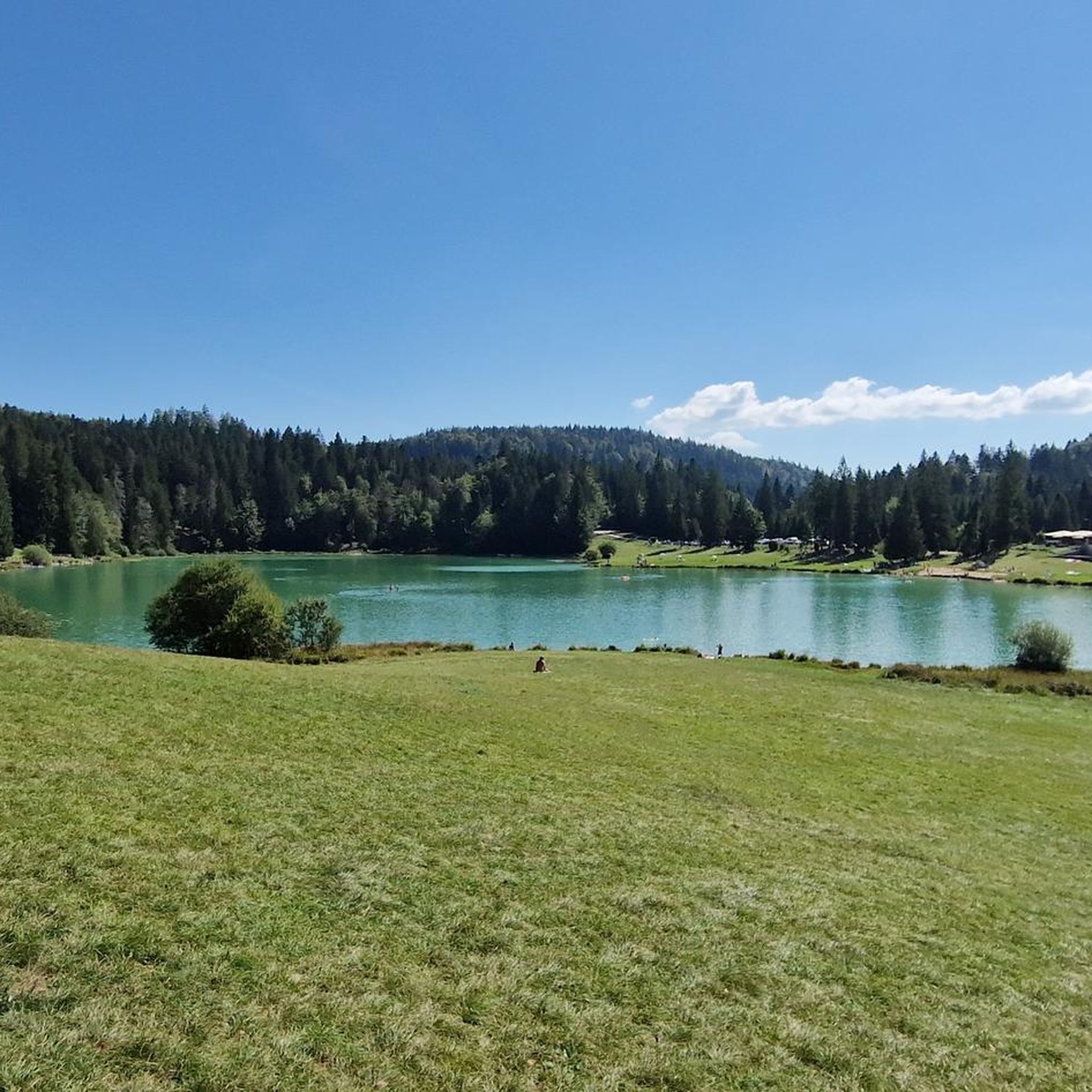
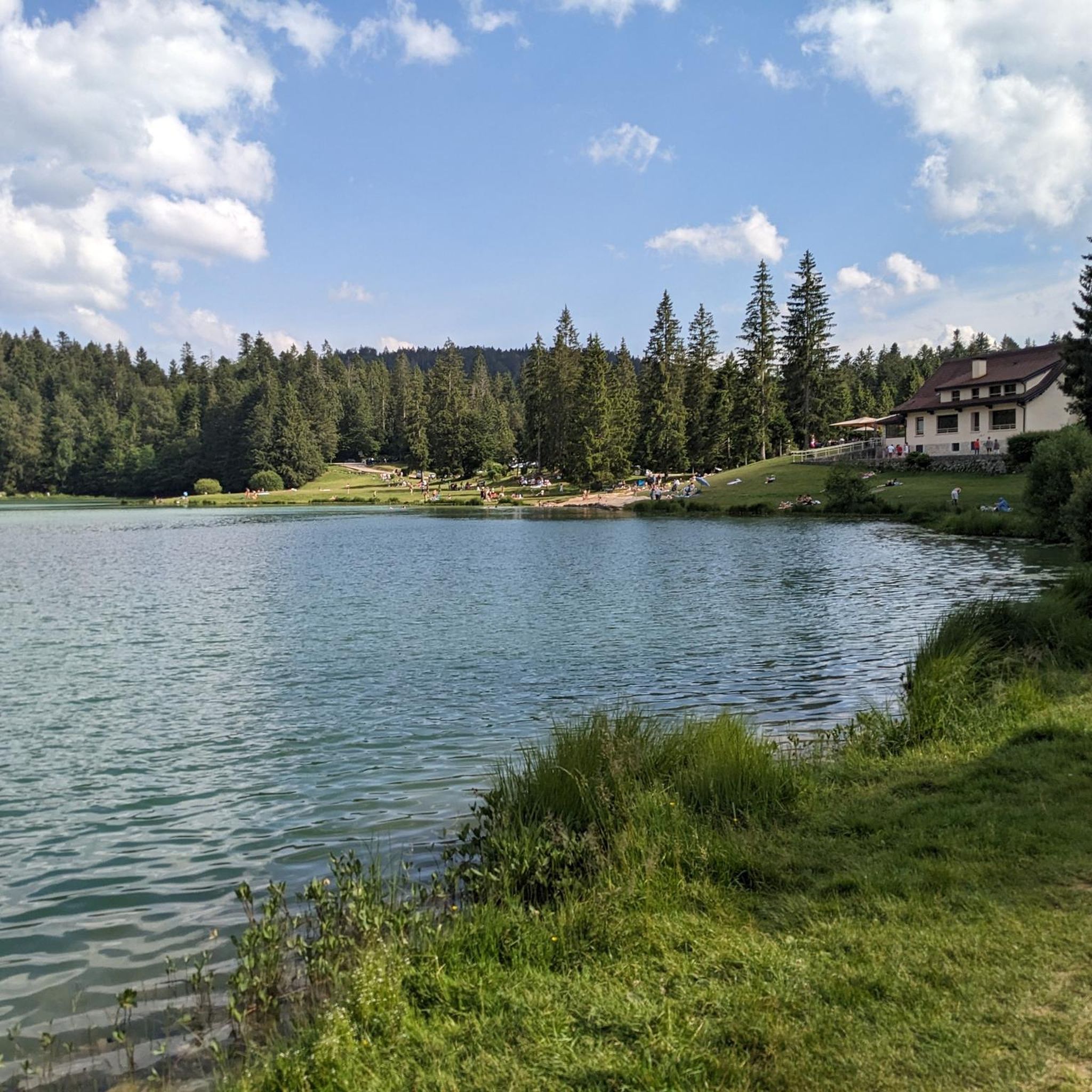
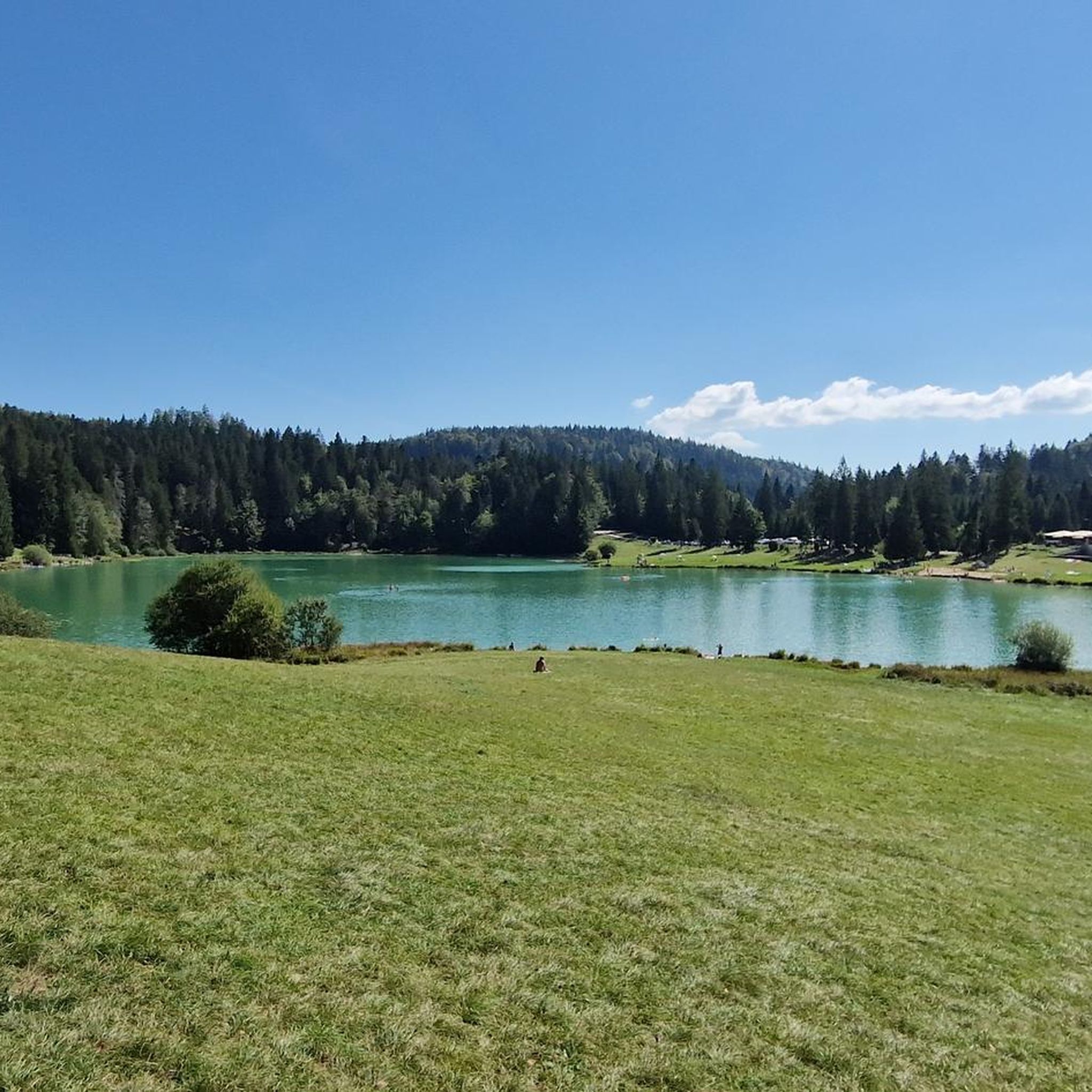
Pretty little lake in the heart of the small Jura mountains
0
0
Beautiful, simple, easy walk; lots of traffic noise on the "road" section, a bit of a shame, but the color of the water is magical
1
0

beautiful pass, quite rolling especially through St Germain de Joux, a little tougher on the Saint Claude side. lots of writing on the ground since the Tour de France passed through.
0
0

The Col de Bérentin connects the Valserine Valley to the Retord Plateau, passing through the beautiful Jura forests. Its ascent is gradual and the road is little traveled.
0
0
Frequently Asked Questions
How many gravel bike trails are available around Bellignat?
There are over 6 gravel bike trails documented around Bellignat on komoot. These routes offer a variety of experiences, from challenging ascents to scenic loops through diverse landscapes.
What kind of terrain can I expect on gravel bike trails near Bellignat?
The terrain around Bellignat is incredibly varied, reflecting its location near the Jura Mountains. You'll encounter hilly areas, dense forests, agricultural fields, and paths along numerous lakes and rivers. Routes often feature cool undergrowth, sunny stretches, and scenic ridges, with gradients ranging from gentle slopes to significant ascents.
What natural attractions can I see while gravel biking around Bellignat?
Many gravel routes in the Bellignat area pass by stunning natural features. You can explore the picturesque surroundings of Lake Nantua, known for its glacial origins and limestone cliffs, or the tranquil Lake Genin, often called the 'Little Canada of Haut-Bugey'. Some trails also offer views of Lake Coiselet.
Are there any historical landmarks along the gravel bike routes?
Yes, the region offers historical points of interest. For example, the ruins of Oliferne Castle provide panoramic views of the lakes and mountains, offering a glimpse into the area's past while you ride.
What do other gravel bikers say about the trails in Bellignat?
The gravel biking routes around Bellignat are highly rated by the komoot community, with an average score of 4.5 stars from over 5 reviews. More than 40 gravel bikers have explored these varied terrains, often praising the scenic beauty of the glacial lakes, dense forests, and diverse landscapes.
What is the best time of year for gravel biking in Bellignat?
The Ain region, including Bellignat, is generally excellent for gravel biking from spring through autumn. These seasons offer pleasant temperatures and vibrant natural scenery. While winter conditions can vary, some trails might be accessible, but it's advisable to check local conditions for snow or ice, especially at higher elevations.
Are there family-friendly gravel biking options in Bellignat?
While many routes in Bellignat feature significant ascents and are rated as difficult, the broader Ain department offers a range of trails. For families, it's best to look for routes described as 'gentle paths' or those with minimal elevation changes. The region's extensive network means there are likely easier sections or dedicated paths suitable for a more relaxed family outing, though specific easy gravel routes are not prominent in the immediate Bellignat data.
Can I bring my dog on gravel bike trails around Bellignat?
Generally, dogs are welcome on many outdoor trails in the Ain region, especially in natural areas and forests. However, it's always recommended to keep your dog on a leash, especially in areas with wildlife or near agricultural fields, and to check specific trail regulations if available. Always ensure your dog is well-behaved and that you clean up after them.
Are there options for parking near the gravel bike trails in Bellignat?
Yes, many trailheads and popular starting points for gravel bike routes in the Bellignat area, especially near lakes and villages, typically offer parking facilities. It's advisable to check the specific starting point of your chosen route on komoot for detailed parking information.
Is public transport available to access gravel biking routes in Bellignat?
Public transport options in the Bellignat area may be limited, particularly for directly accessing remote trailheads. While there might be bus services connecting larger towns, bringing a bike on public transport can sometimes be challenging. Planning your route to start from a town with better transport links or driving to a trailhead is often the most practical approach for gravel biking in this region.
Are there places to stop for refreshments or accommodation near the trails?
Yes, the villages and towns surrounding Bellignat, such as Oyonnax, Nantua, and Matafelon-Granges, offer various cafes, restaurants, and accommodation options. Many routes pass through or near these settlements, providing opportunities for refreshments or an overnight stay. It's a good idea to plan your stops in advance, especially on longer rides.
Are there any less-traveled gravel routes worth exploring?
Beyond the most popular routes, you might enjoy the Lake Nantua – View of Lake Nantua loop from Le Chateau. This 31.6 km (19.6 miles) route offers stunning perspectives of Lake Nantua and provides a challenging ride with significant elevation gain, perfect for those looking to explore a different part of the lake's surroundings.
What is a good gravel route for experiencing the region's lakes and forests?
The Lake Genin – Lake Genin loop from Oyonnax is an excellent choice. This 30.8 km (19.1 miles) route takes you through dense forests and around the beautiful Lake Genin, offering a challenging ride with over 750 meters of elevation gain, allowing you to fully immerse yourself in the natural beauty of the area.
Most popular attractions around Bellignat

Get inspired with the komoot mobile app


Explore more
Browse the best Gravel rides in other regions.
