The best walks and hikes around Anela
4.6
(23)
83
hikers
5
hikes
Hiking around Anela offers a network of trails through varied terrain. The region is characterized by hills and passes, with routes often leading to scenic viewpoints and natural springs. Elevation changes are moderate, making the area accessible for different hiking abilities. The landscape includes areas around Monte Rasu, providing a mix of open views and forested sections.
Best hiking trails around Anela
- The most popular hiking route is Hiking loop from Tassi de Sos Niberos, a 6.5 miles (10.4…
Last updated: July 1, 2026
4.5
(11)
45
hikers
Moderate hike. Good fitness required. Easily-accessible paths. Suitable for all skill levels.
4.6
(5)
14
hikers
Moderate hike. Good fitness required. Easily-accessible paths. Suitable for all skill levels.

Sign up for free
4.0
(1)
8
hikers
3.11km
01:00
150m
150m
Easy hike. Great for any fitness level. Easily-accessible paths. Suitable for all skill levels.
4.8
(4)
12
hikers
Moderate hike. Good fitness required. Easily-accessible paths. Suitable for all skill levels.
5.0
(2)
4
hikers
10.4km
03:06
330m
330m
Moderate hike. Good fitness required. Easily-accessible paths. Suitable for all skill levels.
Our route recommendations are based on thousands of hikes, rides, and runs completed by other people on komoot.
Start today with a free account
Your next adventure awaits.
Login or Signup
Popular around Anela
Tips from the Community

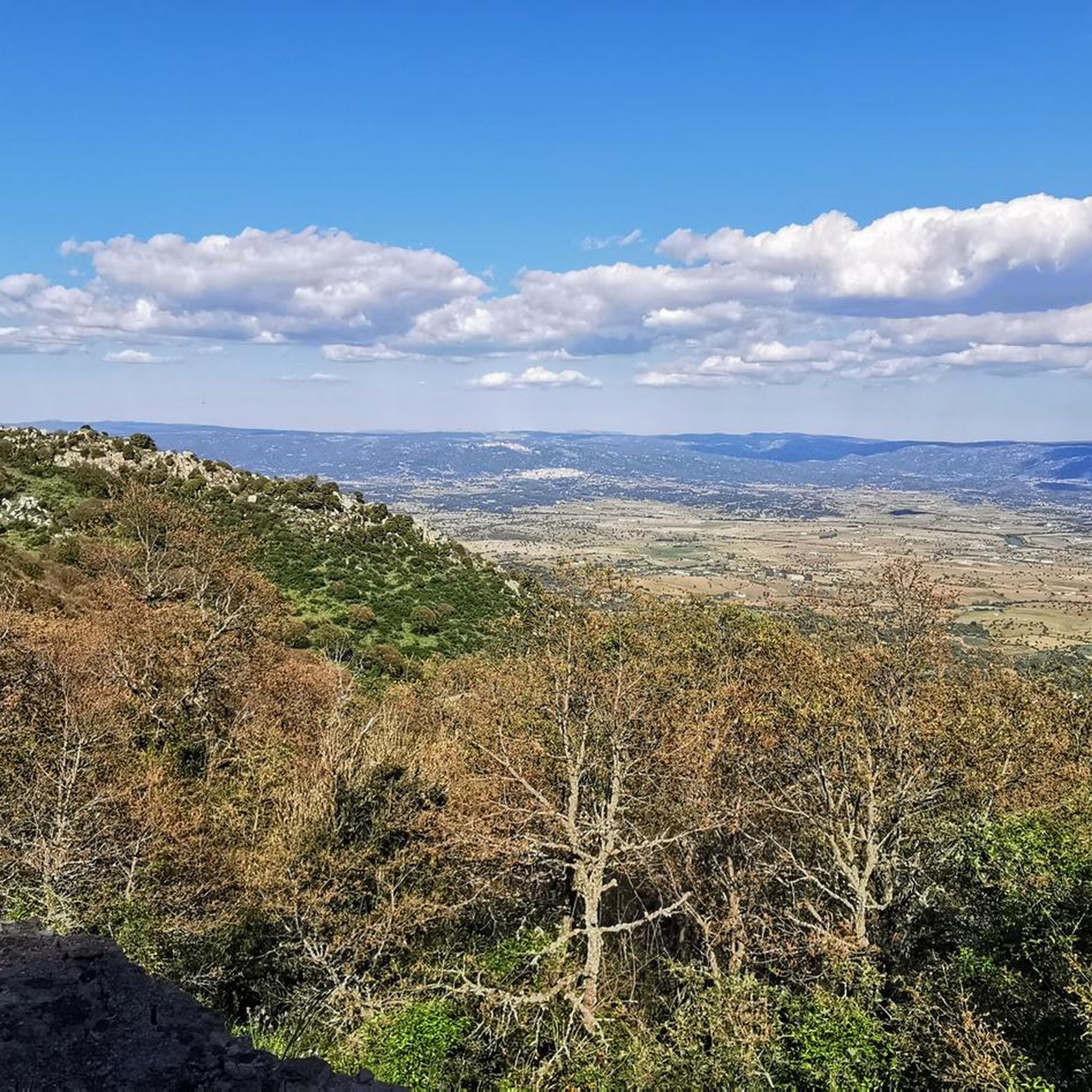
From here you have a very beautiful view of the landscape.
0
0
This is one of the oldest forest areas in Sardinia and it is wonderfully quiet and peaceful here.
0
0
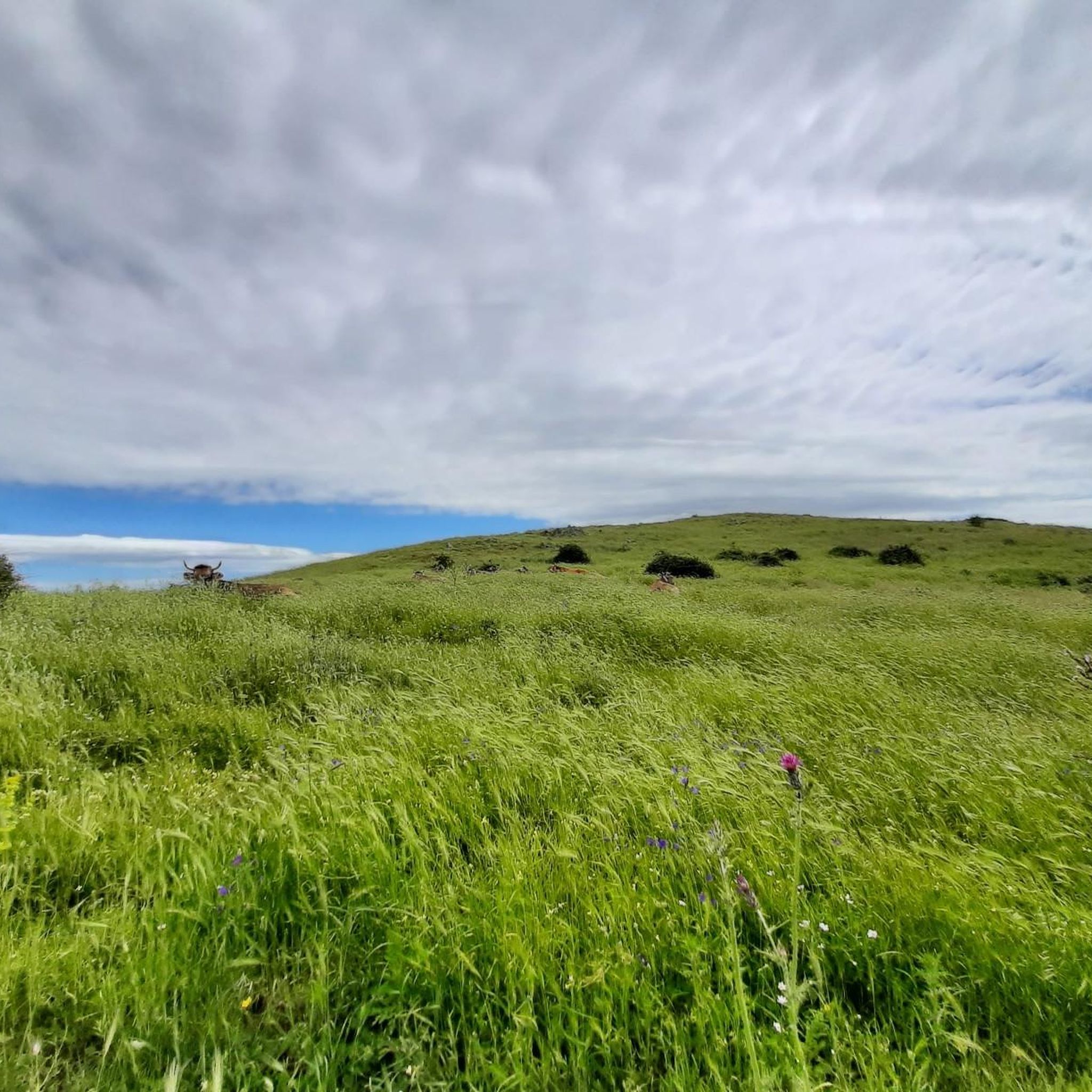
From up here, you have a fantastic view. Many animals graze here, and it's very idyllic.
1
0
Great, partly redesigned picnic area with plenty of shade
0
0
Not only does the spring gurgle and gurgle here, but in April, several small streams also gurgle. Wonderful!
0
0
Here the spring gurgles wonderfully.
0
0

The climb is demanding, but the fantastic panorama manages to dampen the fatigue.
0
0
Frequently Asked Questions
How many hiking trails are available in Anela?
Anela offers a selection of 5 hiking routes, ranging from easy walks to more moderate ascents. These trails provide a comprehensive exploration of the local landscape, characterized by hills, passes, and natural springs.
Are there easy hiking trails suitable for beginners in Anela?
Yes, Anela has several easy hiking options perfect for beginners. For instance, the Monte Rasu – Sa Punta Manna loop from Tassi de Sos Niberos is a shorter, less strenuous route, and the Monte Rasu – Sa Punta Manna – Funtana de Iscurtis loop from Bono is another easy option, both offering beautiful scenery without significant challenge.
Are there many circular hiking routes available in Anela?
Yes, many of the trails in Anela are designed as circular routes, allowing you to start and end at the same point. Examples include the popular Hiking loop from Tassi de Sos Niberos, which offers a comprehensive exploration, and the View of the Landscape – Santu Franziscu Picnic Area loop from Passo Ucc'Aidu, known for its expansive views.
What kind of scenery or points of interest can I expect on Anela's trails?
Hiking in Anela will take you through varied terrain, including hilly landscapes, scenic passes, and forested sections, particularly around Monte Rasu. You can expect expansive views, natural springs like Funtana de s'Abba Fritta, and designated picnic areas such as the Santu Franziscu Picnic Area, perfect for a break.
Where can I find parking for hiking trails in Anela?
Many trails in Anela start from accessible points like Tassi de Sos Niberos or Passo Ucc'Aidu, which typically offer parking facilities. It's advisable to check the specific route details on komoot for precise starting points and parking information before your hike.
Is it possible to access hiking trails in Anela using public transport?
While specific public transport options directly to every trailhead might be limited in a rural area like Anela, some routes may be accessible from nearby towns or villages that have bus connections. For the most accurate information, it's best to research local bus schedules to the closest settlements to your chosen trailhead.
Are dogs allowed on the hiking trails in Anela?
Generally, dogs are welcome on hiking trails in Anela, especially if kept on a leash. It's always good practice to ensure your dog is well-behaved and to clean up after them to preserve the natural environment for everyone.
What is the best time of year to go hiking in Anela?
The best time to hike in Anela is typically during spring and autumn when the weather is mild and pleasant, and the landscape is vibrant. Summer can be warm, so early morning or late afternoon hikes are recommended, while winter might offer a different, quieter experience, though some paths could be muddy or slippery.
Are there places to eat or get refreshments near the hiking trails?
While the trails themselves are primarily natural, you'll find small cafes or restaurants in the nearby villages and towns surrounding Anela, such as Bono. It's a good idea to pack water and snacks for your hike, especially for longer routes, and then enjoy a meal in a local establishment afterward.
What do other hikers say about the trails in Anela?
The hiking trails in Anela are highly regarded by the komoot community, boasting an average rating of 4.5 stars from over 19 reviews. Hikers often praise the varied terrain, the scenic views, and the well-maintained paths that make for an enjoyable outdoor experience.
Can I go hiking in Anela during winter?
Hiking in Anela during winter is possible, offering a tranquil experience with potentially crisp air and unique views. However, be prepared for colder temperatures, shorter daylight hours, and potentially muddy or slippery conditions, especially at higher elevations or after rainfall. Always check local weather forecasts before heading out.
Most popular routes around Anela

Get inspired with the komoot mobile app


Explore more
Browse the best Hikes in other regions.
