The best walks and hikes around Gambatesa
4.3
(4)
10
hikers
5
hikes
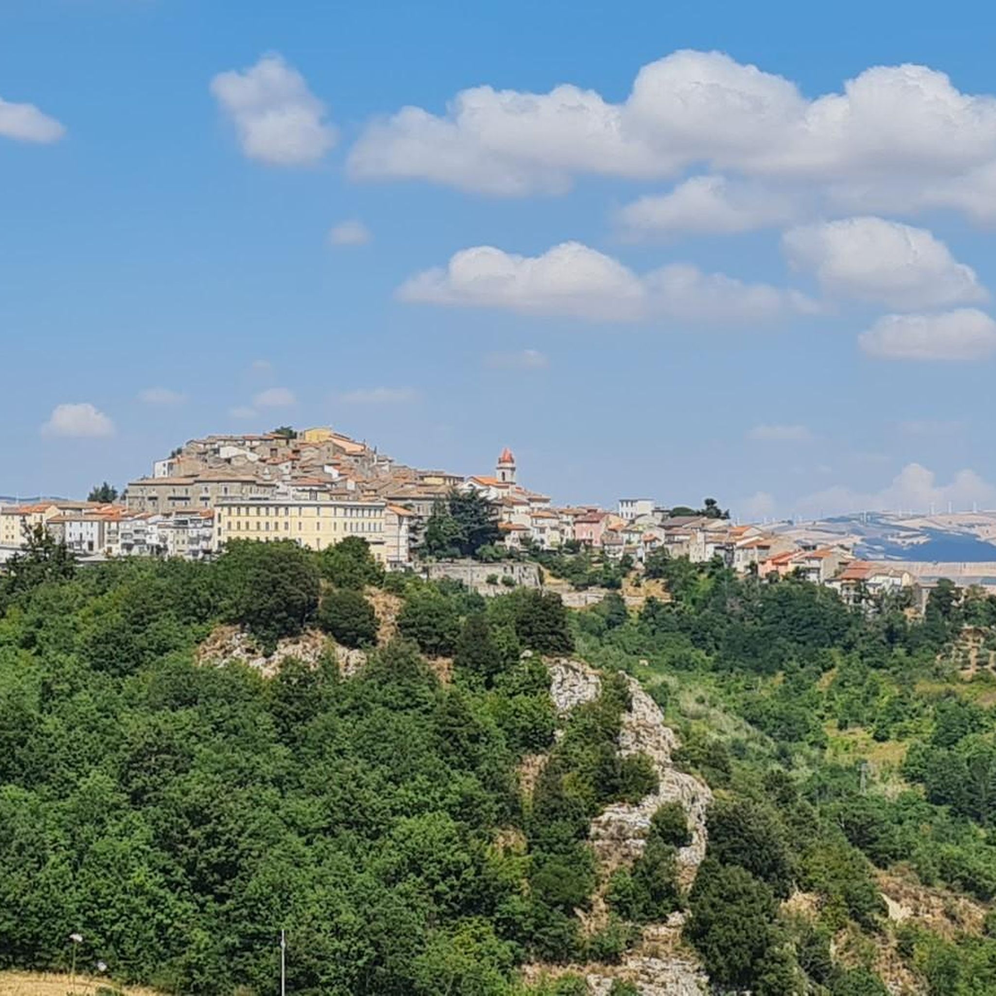
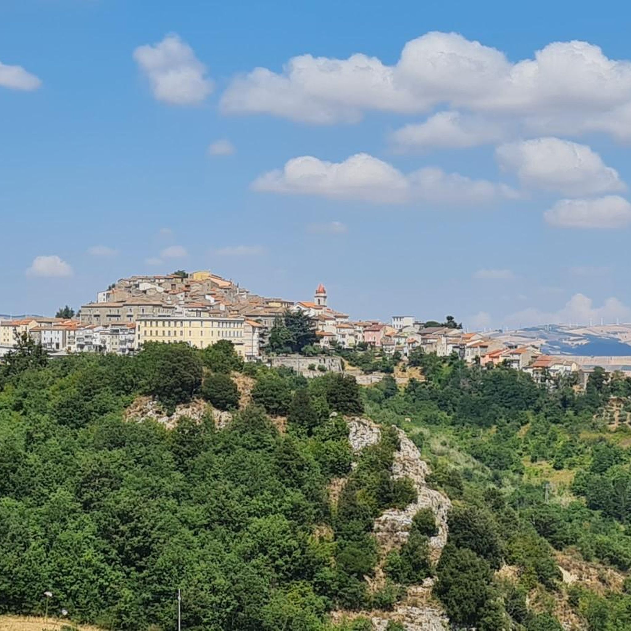
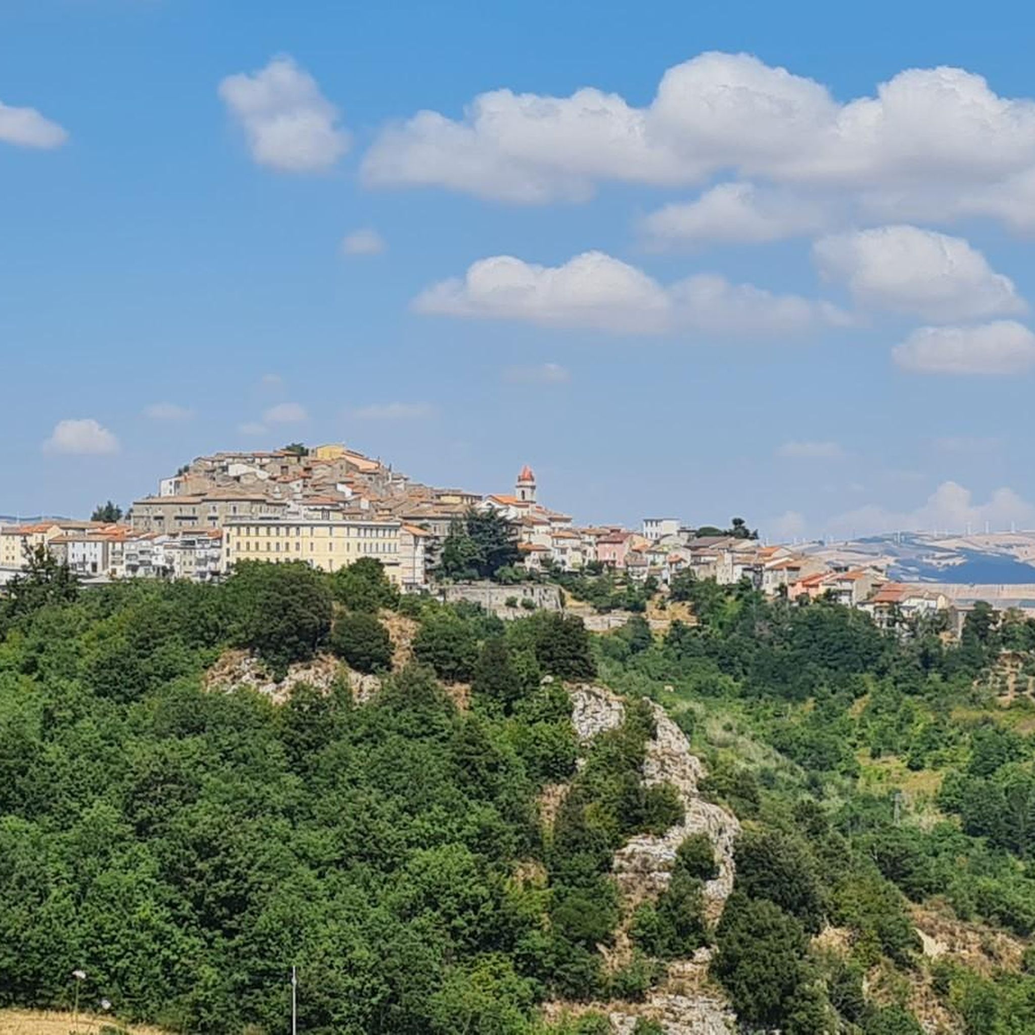
Hiking around Gambatesa offers diverse landscapes in Italy's Molise region, characterized by its elevated position and views over the Tappino valley. The area features the expansive Lake Occhito, Europe's second-largest artificial reservoir, providing a focal point for many trails. Hikers can explore the ancient Lucera–Castel di Sangro Drovers' Track, a historical pathway, and the serene Bosco di Mezzocca, a large woodland area. The hilly terrain provides varied elevation changes, making it accessible for different skill levels.
Best hiking trails around…
Last updated: July 1, 2026
4.0
(1)
2
hikers
6.14km
01:38
60m
60m
Easy hike. Great for any fitness level. Easily-accessible paths. Suitable for all skill levels.
5.0
(2)
3
hikers
10.2km
02:53
220m
220m
Moderate hike. Good fitness required. Easily-accessible paths. Suitable for all skill levels.

Sign up for free
4.0
(1)
2
hikers
7.21km
01:54
70m
70m
Easy hike. Great for any fitness level. Easily-accessible paths. Suitable for all skill levels.
2
hikers
Moderate hike. Great for any fitness level. Mostly accessible paths. Sure-footedness required.
1
hikers
14.4km
04:20
470m
470m
Moderate hike. Good fitness required. Easily-accessible paths. Suitable for all skill levels.
Our route recommendations are based on thousands of hikes, rides, and runs completed by other people on komoot.
Start today with a free account
Your next adventure awaits.
Login or Signup
Popular around Gambatesa
Tips from the Community


The reservoir💧has a total capacity (mc) of 333 million, while the useful capacity (mc) is approximately 250 million. Currently March 2025 the water availability 🚰 is around 54 million cubic meters. Drastic drop due to climate change, drought effect!
3
0
The Occhito lake is a large artificial lake, created with a dam on the Fortore river. It marks the border between Puglia and Molise for about 10 km. It is about 12 km long and half of it belongs to the province of Campobasso and the remaining part to the province of Foggia.
4
0

Pond with picnic area. For members it is also possible to fish. Be careful when you have a snack, two mallards will come to visit you 🦆, ready to scrounge up some food 😄
0
0
Let me start by saying that I did a complete tour of the lake starting from the crossroads on the state road to Tufara and then going back up towards Celenza Valfortore. As far as I'm concerned, I preferred the Apulian side to the Molise side, both for the panorama and for the "quality" of the road. I suggest turning around at the barrier (Puglia side) since at a certain point there is no practicable route. We took absurd gambles in the middle of bushes full of thorns. Furthermore, according to the operators of the barrier, you have to call the consortium and get a permit to be able to cross.
0
0
Let me start by saying that I did a complete tour of the lake. The Apulian side is more beautiful than the Molise side. I suggest turning around at the barrier as at a certain point there is no viable route. We took absurd gambles in the middle of bushes full of thorns. Furthermore, according to the operators of the barrier, you have to call the consortium and get a permit to be able to cross.
0
0

Lago di Occhito is a fascinating artificial lake located in the Molise region of Italy. Surrounded by stunning landscapes and a variety of flora and fauna, it offers an ideal location for outdoor activities such as bird watching and fishing. puglia.com/celenza-valforte-e-lago-di-occhito
0
0

Carlantino, a charming village in the Fortore river valley, dominates the majestic Occhito lake, one of the largest artificial reservoirs in Europe. Located in the extreme west of the province, it borders Campobasso. To the north, Mount San Giovanni adds further beauty to the landscape. https://www.provincia.foggia.it/La-Capitanata/I-Comuni-dei-Monti-Dauni/Carlantino
0
0
Frequently Asked Questions
How many hiking trails are available around Gambatesa?
There are currently 5 hiking routes around Gambatesa, ranging from easy strolls to more challenging moderate hikes. This selection allows you to explore the diverse landscapes of the region, including the shores of Lake Occhito and the surrounding hills.
What kind of terrain can I expect on hikes near Gambatesa?
The terrain around Gambatesa is primarily hilly, offering rewarding panoramic views over the Tappino valley and Lake Occhito. You'll find a mix of well-trodden paths, dirt roads, and ancient drovers' tracks, such as parts of the historic Lucera–Castel di Sangro Drovers' Track. Some routes, particularly around Lake Occhito, feature flatter sections, while others involve moderate elevation changes.
Are there any easy hiking trails suitable for beginners or casual walkers?
Yes, Gambatesa offers a couple of easy routes perfect for a relaxed outing. The Lake Decorata – Lago di Decorata loop from Sella Canala is a gentle 6.1 km path with minimal elevation gain, ideal for enjoying the scenery without strenuous effort. Another easy option is the Lago di Decorata – Lake Decorata loop from Decorata, which covers 7.2 km.
What are the best trails for experiencing Lake Occhito?
Lake Occhito, Europe's second-largest artificial reservoir, is a central feature of the region. For a moderate hike with great views, consider the Occhito Dam loop from Diga di Occhito, which is about 10.2 km long. Another excellent option is the Lago di Occhito – View of Lake Occhito loop from Agriturismo Aia Della Foresta, a 5.3 km moderate route that provides stunning vistas of the lake.
Are there any circular hiking routes around Gambatesa?
Yes, all the hiking routes listed for Gambatesa are circular, allowing you to start and end your journey at the same point. This includes trails like the Lago di Occhito – Fountain of Carlantino loop from Lago di Occhito, which offers a longer, moderate challenge of 14.4 km.
What natural features or landmarks can I see along the hiking trails?
Hikers can explore several significant natural features and landmarks. The vast Lago di Occhito is a prominent highlight, offering opportunities for birdwatching and scenic views. You might also encounter the serene Lago di Decorata and the lush Bosco Mazzocca, a green oasis with diverse trees. The historic Lucera–Castel di Sangro Drovers' Track also offers a glimpse into the region's past.
What is the best time of year to go hiking in Gambatesa?
Gambatesa's diverse landscapes are enjoyable throughout much of the year. Spring and autumn generally offer the most pleasant hiking conditions with mild temperatures and vibrant natural colors. Summer can be warm, especially around Lake Occhito, so early mornings or late afternoons are recommended. Winter hiking is possible, but check local weather conditions as some paths might be affected by rain or cooler temperatures.
What do other hikers enjoy most about hiking in Gambatesa?
The komoot community rates the hiking experience around Gambatesa highly, with an average score of 4.3 stars. Reviewers often praise the stunning panoramic views over Lake Occhito and the Tappino valley, the tranquility of the forested areas like Bosco di Mezzocca, and the opportunity to explore ancient pathways that offer a sense of history.
Are there any longer, more challenging hikes for experienced walkers?
For those seeking a longer, moderate challenge, the Lago di Occhito – Fountain of Carlantino loop from Lago di Occhito is a great option. This 14.4 km route features an elevation gain of over 460 meters, providing a more strenuous workout while still offering beautiful scenery around the lake.
Is Gambatesa a good destination for combining hiking with cultural exploration?
Absolutely. Gambatesa is a medieval village with a rich history. After your hikes, you can explore the historic center and visit the medieval Capua Castle, which serves as a significant cultural attraction. The blend of natural beauty and historical sites enriches the overall experience, offering both outdoor adventure and cultural immersion.
Most popular routes around Gambatesa
Most popular attractions around Gambatesa

Get inspired with the komoot mobile app


Explore more
Browse the best Hikes in other regions.
