The best gravel rides around Weissport East
4.4
(21)
80
riders
8
rides
Gravel biking around Weissport East is characterized by its location along the Delaware & Lehigh (D&L) Trail and the historic Lehigh Canal towpath. The terrain primarily features crushed stone or hard-packed dirt surfaces, ideal for gravel bikes, alongside the Lehigh River. Routes often follow former railroad beds and canal towpaths, traversing forested mountain slopes and wetlands. This area offers a blend of natural scenery and historical infrastructure.
Best gravel bike trails around Weissport East
- The most popular gravel bike trail…
Last updated: July 15, 2026
4.9
(8)
14
riders
37.6km
01:59
160m
160m
Moderate gravel ride. Good fitness required. Mostly paved surfaces. Suitable for all skill levels.
24
riders
62.0km
03:20
350m
350m
Moderate gravel ride. Good fitness required. Mostly paved surfaces. Suitable for all skill levels.

Sign up for free
5.0
(6)
10
riders
54.5km
02:55
330m
330m
Moderate gravel ride. Good fitness required. Mostly paved surfaces. Suitable for all skill levels.
3.0
(1)
7
riders
25.5km
01:23
170m
170m
Moderate gravel ride. Good fitness required. Mostly paved surfaces. Suitable for all skill levels.
5.0
(1)
7
riders
19.5km
01:10
210m
210m
Moderate gravel ride. Good fitness required. Mostly paved surfaces. Suitable for all skill levels.
Get access to more routes and recommendations from other explorers.
Sign up for free
Already have an account?
Our route recommendations are based on thousands of hikes, rides, and runs completed by other people on komoot.
Start today with a free account
Your next adventure awaits.
Login or Signup
Popular around Weissport East


Tips from the Community


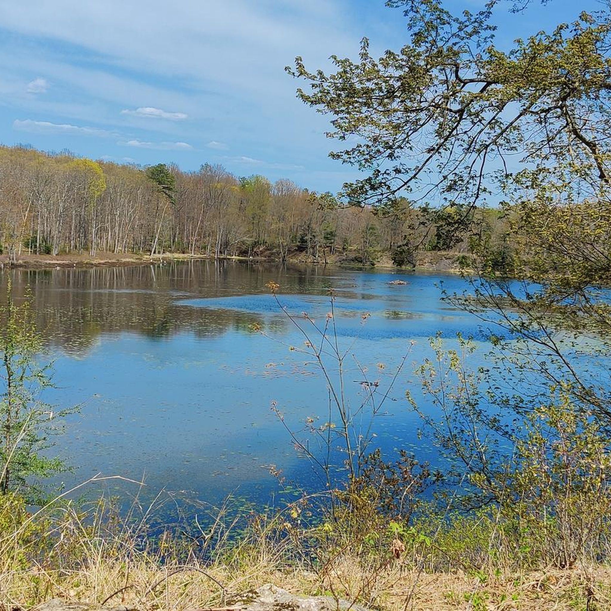
Luke's Falls fall a short 20 feet into the Lehigh River. However, the location along the D&L Rail Trail is a fun spot to ride to along a calm, quiet, riverside path.
0
0

The Lehigh River is 109 miles long and flows to the Delaware River. It runs through the Pocono Mountains and the Lehigh Valley.
0
0
Buttermilk Falls is one of many falls that can be seen along the Lehigh Trail, which is a section of the 165-mile D&L Trail.
0
0
Lukes Falls is a small waterfall along Lehigh Gorge Trail. The Lehigh River is directly across the trail from this waterfall.
0
0

The D&L Trail runs for almost 140 miles between Philadelphia and Mountain Top in the Appalachians. This section of the path follows the railway through the Lehigh Gorge with high cliff faces surrounding you.
0
0
Jim Thorpe was once a thriving coal town, which can be seen in the abandoned tunnels scattered around the hills in the area. This cavern cannot be accessed by the public.
1
0
Luke's Falls are a short walk from the Rockport Parking Area in Lehigh Gorge Park. The waterfall drops 20 feet into the Leigh River.
0
0
Frequently Asked Questions
What kind of terrain can I expect on gravel bike trails around Weissport East?
The gravel bike trails in the Weissport East area primarily follow the historic Delaware & Lehigh (D&L) Trail and the Lehigh Canal towpath. You can expect surfaces of crushed stone and hard-packed dirt, which are ideal for gravel bikes. These paths often utilize former railroad beds and canal towpaths, offering a smooth yet adventurous ride.
Are there any circular gravel bike routes available near Weissport East?
Yes, several circular routes are available. For example, the Bridge view – Abandoned Coal Tunnel loop from Jim Thorpe offers a substantial ride, or consider the D&L Trail – Views of the Lehigh River loop from Lehigh Gap for a different perspective.
What are some scenic highlights or natural features I can see along the gravel trails?
The trails offer continuous views of the Lehigh River and run alongside the historic Lehigh Canal, where you can spot old locks and spillways. You'll also pass through lush forested mountain slopes and abundant wetlands. Keep an eye out for the Views of the Lehigh River and the Lehigh Gap Wildlife Refuge.
Are there any historical landmarks or points of interest along the routes?
Absolutely. The D&L Trail itself is a historical landmark, utilizing 200-year-old transportation routes. You can find remnants of lock tender's houses and other historical buildings along the canal. The Abandoned Coal Tunnel is another unique historical feature you might encounter, and the nearby town of Jim Thorpe, accessible via the D&L Trail, offers further historical exploration including a remnant of the Switchback Trail.
What is the best time of year for gravel biking in Weissport East?
The region's natural beauty, with its forested slopes and river views, makes spring and autumn particularly appealing for gravel biking. The crushed stone and hard-packed dirt surfaces are generally well-maintained, making them suitable for riding across various seasons, though checking local weather conditions is always recommended.
Are there any family-friendly gravel biking options in the area?
The D&L Trail, particularly the section between Jim Thorpe and Weissport, is relatively flat and secluded, making it a good option for families. The crushed stone surface is stable, and the scenic views provide an enjoyable experience for all skill levels.
What do other gravel bikers enjoy most about the trails in Weissport East?
The area is highly rated by the komoot community, with an average score of 4.3 stars. Reviewers often praise the scenic views of the Lehigh River and canal, the historical elements along the D&L Trail, and the well-maintained, gravel-friendly surfaces that make for an enjoyable ride.
Where can I find parking for gravel bike trails in Weissport East?
Lehigh Canal Park in Weissport serves as an official trailhead and provides convenient parking for trail users. This park offers direct access to sections of the D&L Trail, both north towards Jim Thorpe and south towards the Weissport – Marvin Gardens section.
How long are the gravel bike trails near Weissport East?
The D&L Trail itself spans over 140 miles. Specific routes in the area vary in length. For instance, the Bridge view – Abandoned Coal Tunnel loop from Palmerton is over 50 kilometers, while the Views of the Lehigh River – Bridge view loop from Lehighton is around 25 kilometers, offering options for different ride durations.
Are there any challenging gravel bike trails around Weissport East?
While many sections of the D&L Trail are relatively flat, the routes featured in this guide are all rated as 'moderate' difficulty. They often include longer distances and some elevation gain, such as the Bridge view – Abandoned Coal Tunnel loop from Jim Thorpe which has over 300 meters of elevation gain, providing a good workout for gravel cyclists.
Most popular attractions around Weissport East

Get inspired with the komoot mobile app


Explore more
Browse the best Gravel rides in other regions.
