The 5 Most Amazing Peaks around Περιφερειακή Ενότητα Ιωαννίνων
Best mountain peaks around Περιφερειακή Ενότητα Ιωαννίνων are found within the Pindus mountain range in Greece. This region features high-altitude peaks, deep gorges, and alpine lakes, offering diverse natural landscapes. It is recognized for its significant ecological value, including areas within the Natura 2000 network and national parks. The mountains provide a range of environments for exploration, from challenging ascents to scenic viewpoints.
Best mountain peaks around Περιφερειακή Ενότητα Ιωαννίνων
- The most popular mountain peaks is View of Mount Lakmos…
Last updated: October 16, 2026
Gamila Summit (2,497 m)
Highlight • Summit
Translated by Google •
Tip by

View of the Astraka to Psarovotano Ridge
Highlight • Viewpoint
Translated by Google •
Tip by

Sign up now to discover places like this
Get recommendations on the best single tracks, peaks, & plenty of other exciting outdoor places.
View of Mount Lakmos
Highlight • Viewpoint
Translated by Google •
Tip by

Gorilas Ridge
Highlight • Summit
Translated by Google •
Tip by

Lakkomata Peak (1,658 m)
Highlight • Summit
the paths through the forest are still marked and easy to find, once you reach the plateau, following the official paths becomes more difficult.
Translated by Google •
Tip by

Start today with a free account
Your next adventure awaits.
Popular around Περιφερειακή Ενότητα Ιωαννίνων
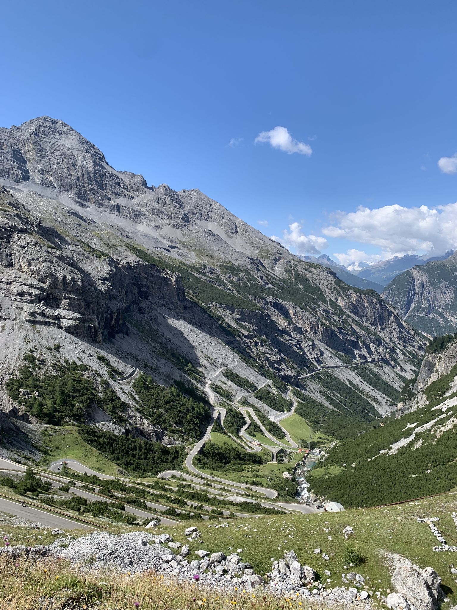
Transcontinental Race No9 2023
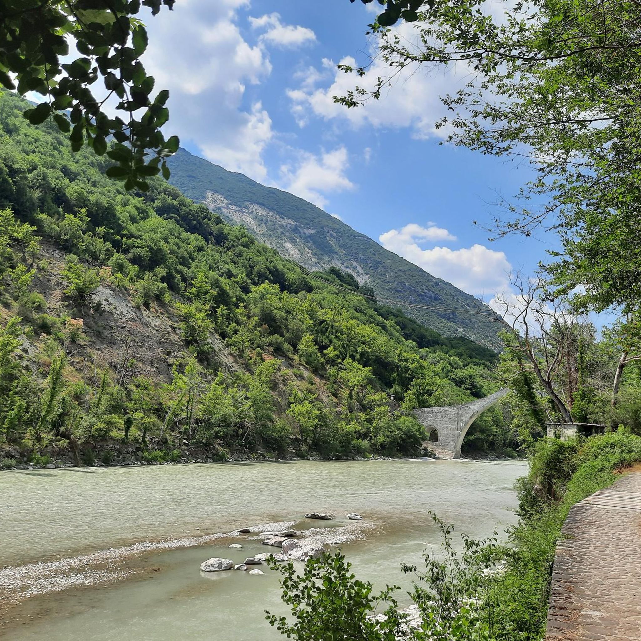
Hiking around Περιφερειακή Ενότητα Ιωαννίνων
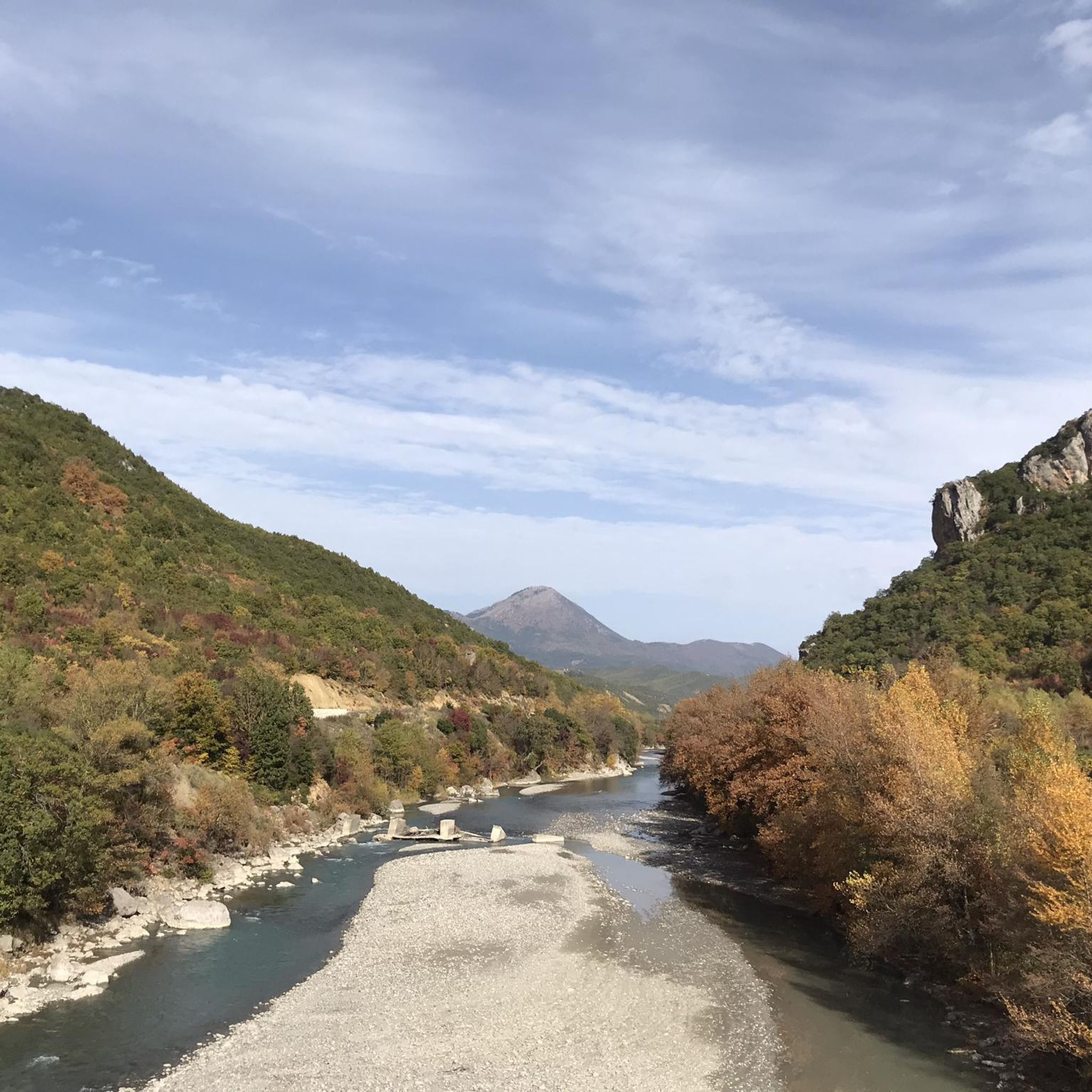
Running Trails around Περιφερειακή Ενότητα Ιωαννίνων
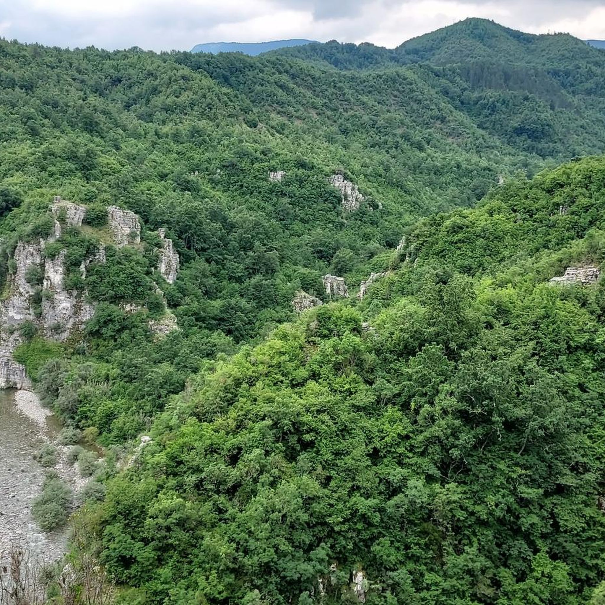
Cycling around Περιφερειακή Ενότητα Ιωαννίνων
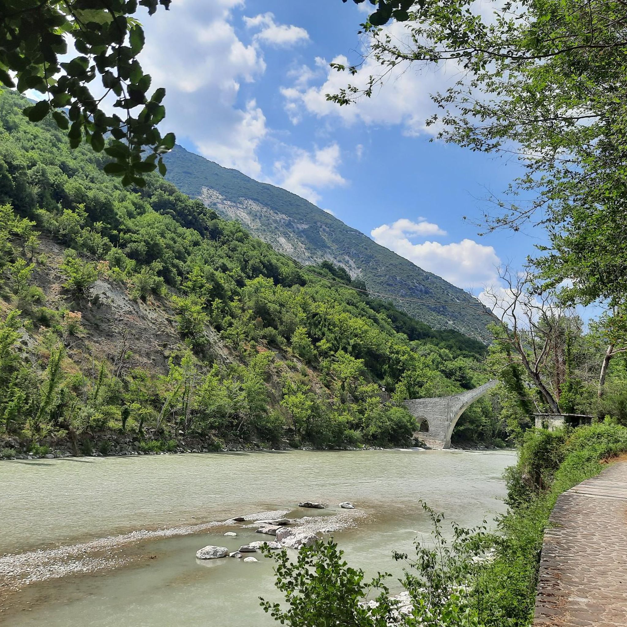
Road Cycling Routes around Περιφερειακή Ενότητα Ιωαννίνων
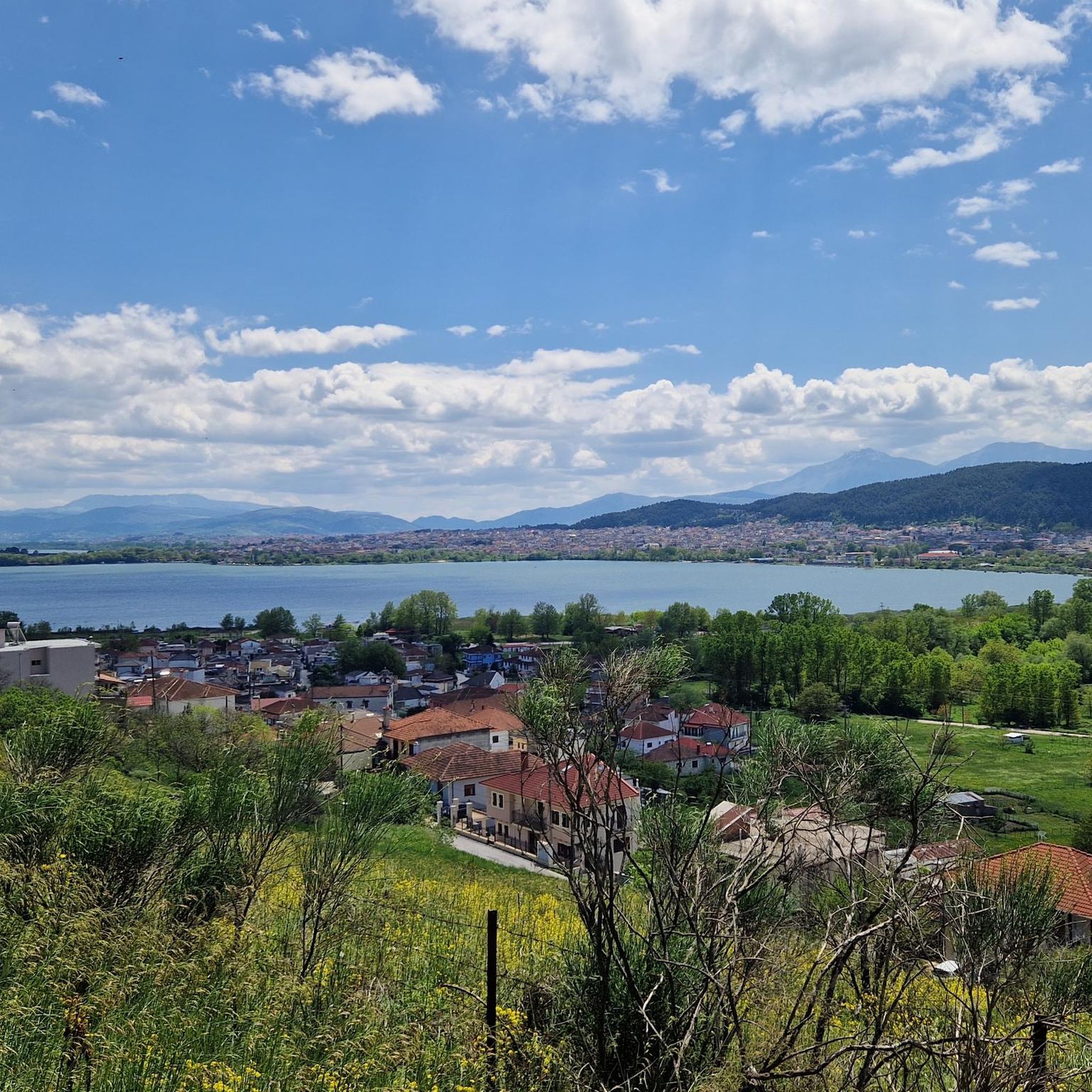
MTB Trails around Περιφερειακή Ενότητα Ιωαννίνων

Mountain Hikes around Περιφερειακή Ενότητα Ιωαννίνων
Other adventures around Περιφερειακή Ενότητα Ιωαννίνων

Tips from the Community

Gorilas consists of three peaks connected by a ridge. This is the second of the three. The summit marker is 100 meters from here. ⚠️ Caution: The terrain along the ridge is exposed in parts and unprotected. Furthermore, there are no more markers from here on. Surefootedness and some climbing experience are essential. However, the views from all three summit sections are breathtaking, extending as far west as Corfu and to the east as far as the foothills of the Pindus Mountains.
0
0

After the climb out of the breathtaking Vīkos Gorge, here comes the next eye-opener: the view of the elongated massif with its crenellated front, which stretches from the Astrāka peak over the peaks of Kalōgeros and Plāka to Psarovōtano from northeast to southwest.
1
1

Beautiful view, the paths through the forest are still marked and easy to find, once you reach the plateau, following the official paths becomes more difficult.
0
0

Since most of the climbs consist of rock and scree, sturdy shoes and possibly hiking poles are recommended.
0
0

The mountain Gamila is at an altitude of 2497 m above sea level. the highest point of the Tymfi mountain range in the Pindus Mountains in Epirus, Greece. There is a spectacular panorama from the summit. From here you can admire the beautiful, lonely mountain lake Drakolimni (Dragon Lake), among other things (when you turn your gaze to the left). There is also a view to the north of the Aoos Valley and the second highest mountain in Greece, the Smolikas. You can also see the majestic cane of the astraka very well. You will probably not meet a lot of hikers here, so that you can enjoy the silence and the breathtaking view for yourself.
1
0
Frequently Asked Questions
What are some of the most notable mountain peaks to explore in the Περιφερειακή Ενότητα Ιωαννίνων region?
The region boasts several impressive peaks. Among them, Gamila Summit (2,497 m) stands out as the highest point of the Tymfi mountain range, offering panoramic views including Drakolimni (Dragon Lake) and Mount Smolikas. Another significant peak is Mount Smolikas itself, the second highest in Greece, known for its unique flora and the heart-shaped Drakolimni of Smolikas. Mount Gramos, the fourth highest in Greece, also offers pristine natural beauty.
What unique natural features can I discover among the mountain peaks of Περιφερειακή Ενότητα Ιωαννίνων?
You can explore stunning natural features such as the deep and spectacular Vikos Gorge, part of the Vikos–Aoös National Park. The region is also famous for its high-altitude glacial lakes, known as Drakolimnes (Dragon Lakes), found on both Mount Smolikas and Mount Tymfi. These lakes are home to alpine newts and are surrounded by dramatic alpine scenery.
Are there challenging mountain climbs for experienced hikers in the region?
Yes, the region offers several challenging climbs. The ascent to Gamila Summit (2,497 m) is a demanding route. For those seeking exposed terrain and some climbing experience, the Gorilas Ridge presents a significant challenge with breathtaking views. Mount Smolikas and Mount Gramos also feature demanding trails to their summits.
What kind of wildlife can I expect to see in the mountain areas of Περιφερειακή Ενότητα Ιωαννίνων?
The mountains of Περιφερειακή Ενότητα Ιωαννίνων, particularly within the Natura 2000 network and North Pindus National Park, are rich in biodiversity. You might spot rare mammals such as brown bears, wolves, and chamois. Various birds of prey, including golden eagles, also inhabit the area. The Drakolimnes are known for their alpine newt populations.
What are the best times of year to visit the mountain peaks for hiking?
The best time to visit for hiking is generally from late spring to early autumn (May to October). During these months, the weather is more stable, and trails are typically free of snow, making ascents to higher peaks like Smolikas and Tymfi more accessible. Spring brings lush greenery and wildflowers, while autumn offers vibrant foliage.
Are there any family-friendly mountain walks or viewpoints in the Ioannina region?
While many peaks offer challenging terrain, there are options for families. Mitsikeli mountain, at 1,810 meters, provides panoramic views of Ioannina and Lake Pamvotida, making it suitable for shorter excursions. Some lower-altitude trails around villages like Mikro Papingo also offer scenic, less strenuous walks.
What outdoor activities, besides peak bagging, can I do near these mountain peaks?
Beyond summiting peaks, the region offers diverse outdoor activities. You can explore mountain biking trails, such as the 'View of Mount Tymfi – View from Smolikas Refuge loop' or the 'Kalogeriko Bridge – View of Vikos Gorge loop'. Road cycling routes are also available, like the 'Wooden Boardwalk Bridge – Naftakia District loop'. For more hiking, consider routes like the 'Mikro Papigo Village – Astraka–Papigo Hiking Path loop'. You can find more details on these activities in the MTB Trails, Road Cycling Routes, and Mountain Hikes guides for the region.
Where can I find impressive viewpoints of the mountain ranges?
For expansive vistas, consider the View of the Astraka to Psarovotano Ridge, which offers a spectacular perspective of the elongated massif stretching from Astraka peak. The View of Mount Lakmos also provides stunning scenery, though it involves challenging climbs over rock and scree.
Are there any mountain refuges or huts available for overnight stays?
Yes, the Astraka Refuge is a notable mountain hut located at 1,950 meters on Mount Tymfi. It serves as an excellent base for hikers exploring the area, including those heading towards Drakolimni of Tymfi or the Gamila Summit.
What are the typical terrain and difficulty levels for hiking in the Pindus mountains of this region?
The terrain varies significantly. You'll encounter everything from lush forests of black pine, beech, and fir at mid-altitudes to extensive alpine zones with bare rock and scree. Many climbs, such as those to Mount Lakmos, consist of rock and scree, requiring sturdy shoes and potentially hiking poles. Difficulty levels range from moderate walks in lower areas to very challenging, exposed routes on higher ridges and summits, demanding surefootedness and some climbing experience.
Can I bring my dog on trails in the Pindus mountains?
While specific regulations can vary by national park or protected area, many trails in the Pindus mountains are generally dog-friendly. However, it's always advisable to keep dogs on a leash, especially in areas with wildlife or livestock, and to check local guidelines for specific trails or protected zones like the North Pindus National Park to ensure compliance.
Most popular routes around Περιφερειακή Ενότητα Ιωαννίνων
Most popular attractions around Περιφερειακή Ενότητα Ιωαννίνων

Get inspired with the komoot mobile app


