The 5 Most Amazing Peaks around Höchstadt an der Aisch
Best mountain peaks around Höchstadt an der Aisch are characterized by rolling hills and scenic river landscapes, offering elevated areas for outdoor activities. While not alpine mountains, the region provides numerous opportunities for hiking, nature observation, and panoramic views. The Erlangen-Höchstadt district contains 53 named elevations, with Gelberg as the highest point at 544 m and Rittersberg as the most prominent at 389 m. These elevated features offer diverse terrain for exploration.
Best mountain peaks around Höchstadt an der Aisch
…Last updated: July 12, 2026
Fürstberg Summit
Highlight • Summit
Translated by Google •
Tip by

Dreiberg Summit (305 m)
Highlight • Summit
Translated by Google •
Tip by

Sign up now to discover places like this
Get recommendations on the best single tracks, peaks, & plenty of other exciting outdoor places.
Sign up for free
Lauberg Summit (340 m)
Highlight • Summit
Translated by Google •
Tip by

Geiersberg Summit (333 m)
Highlight • Summit
View: trees
But the small hill is still worth including in a hike.
Translated by Google •
Tip by
Helmutsberg (356 m)
Highlight • Summit
Translated by Google •
Tip by
Start today with a free account
Your next adventure awaits.
Login or Signup
Popular around Höchstadt an der Aisch
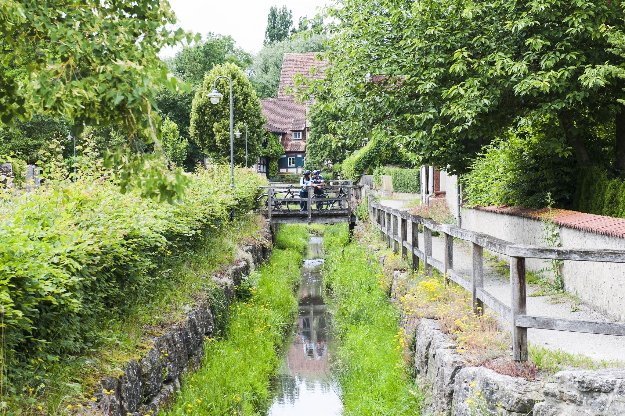
Fun, nature and culture – discover Franconia by bike
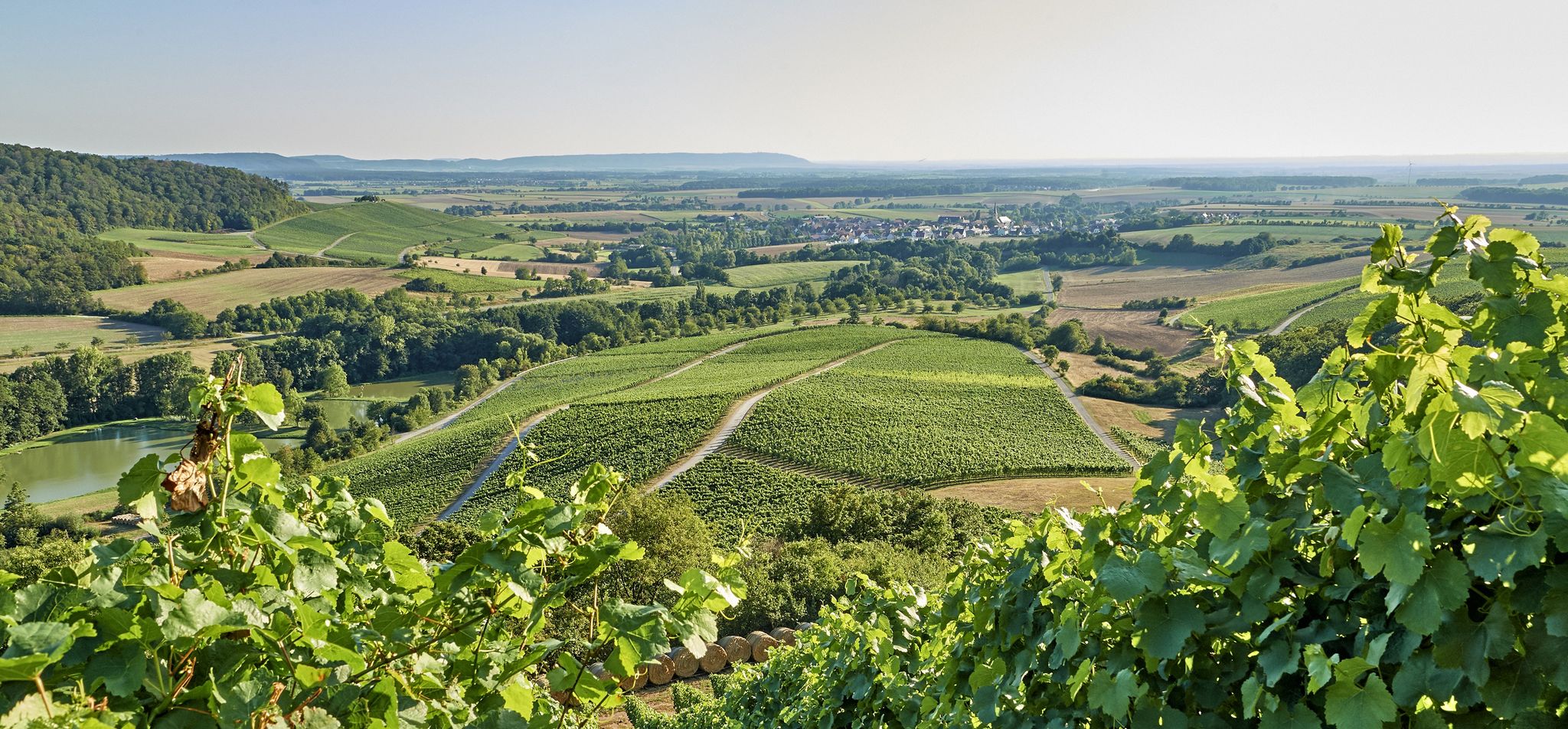
Vineyards, forests and ponds – cycling in the Steigerwald in Germany
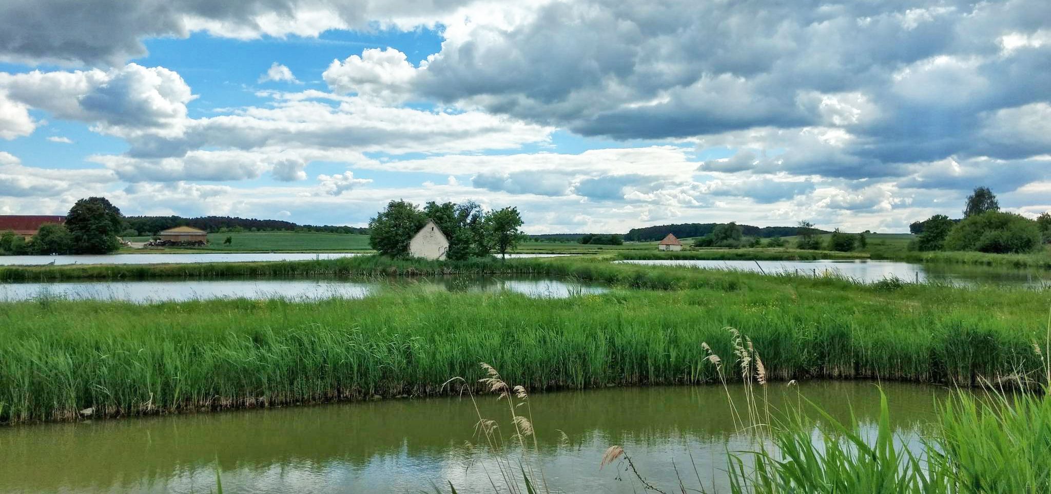
On the Aisch valley cycle path 3 days through Franconia
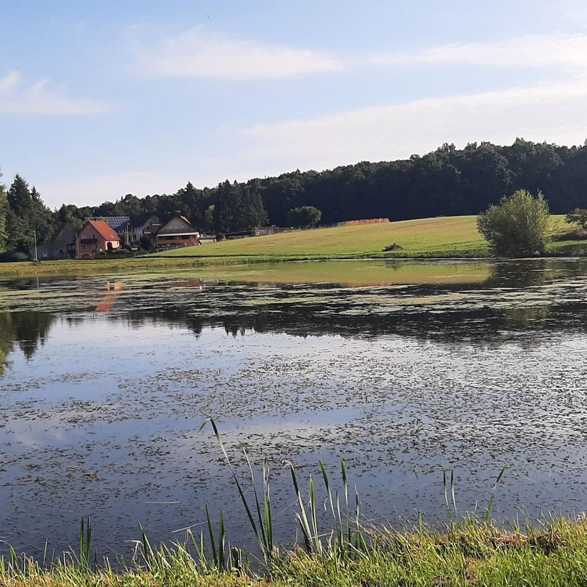
Cycling around Höchstadt an der Aisch
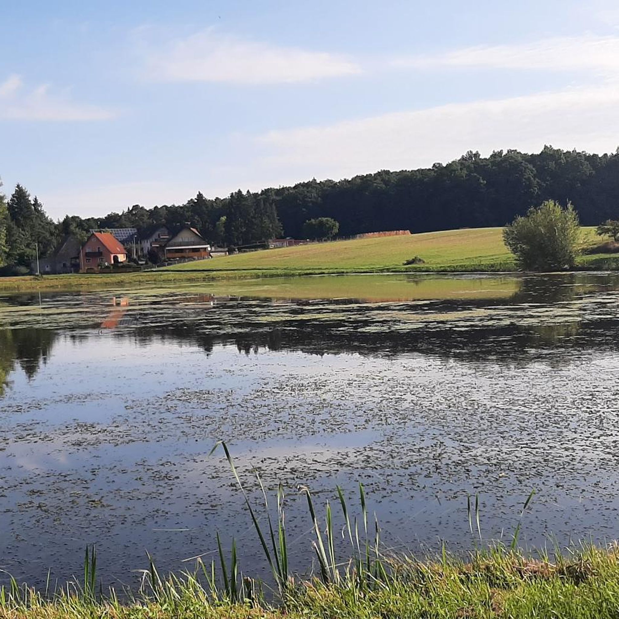
Road Cycling Routes around Höchstadt an der Aisch
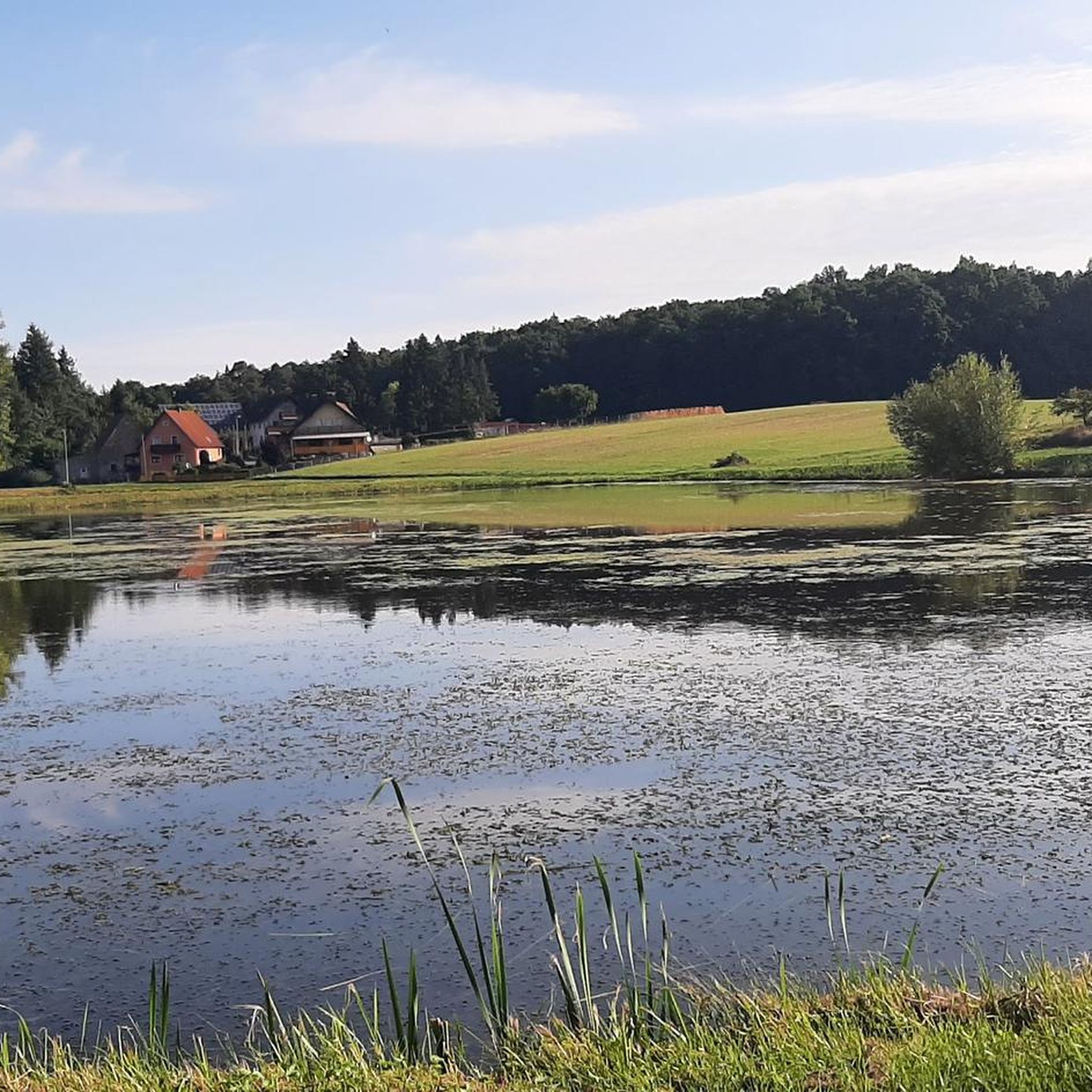
Hiking around Höchstadt an der Aisch
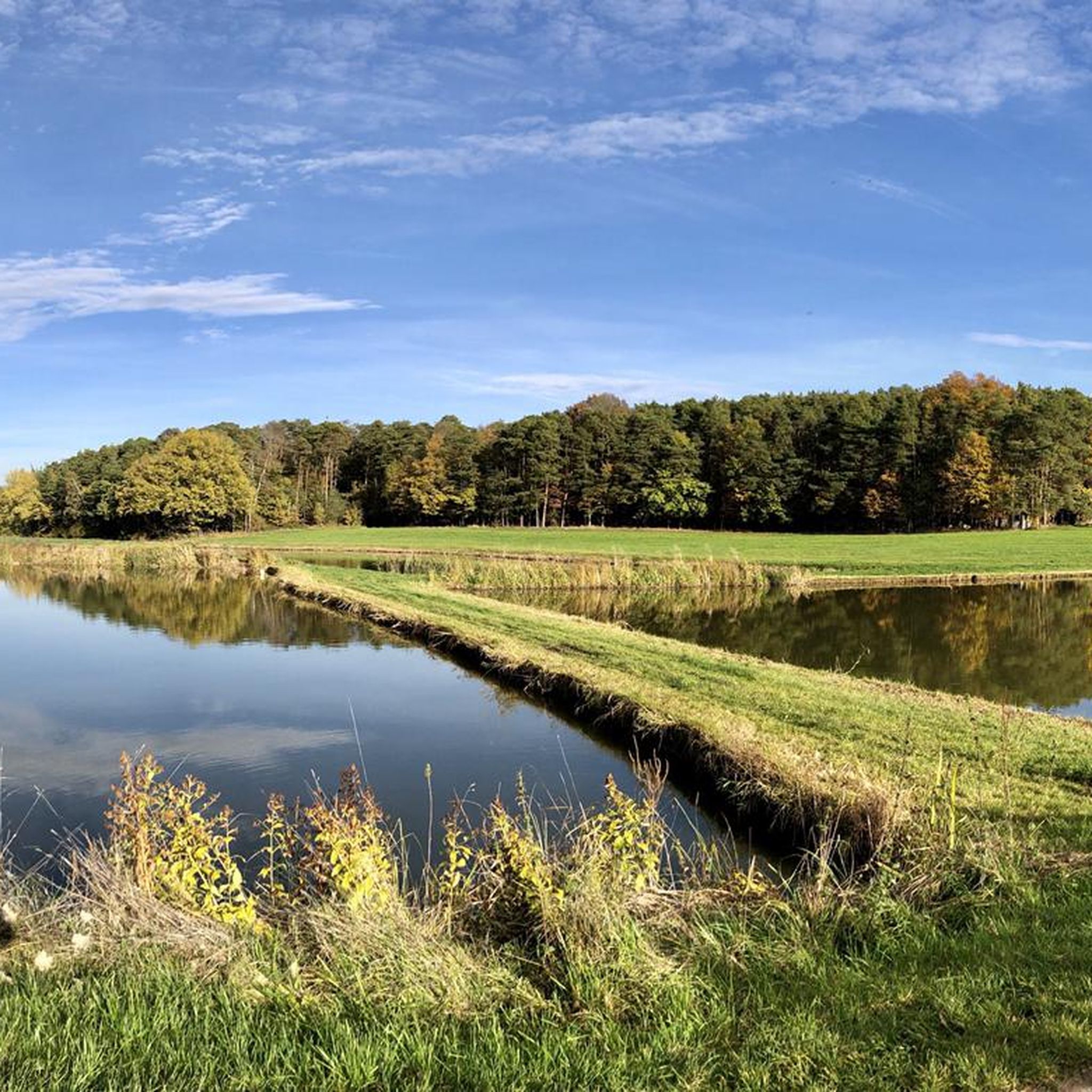
Running Trails around Höchstadt an der Aisch
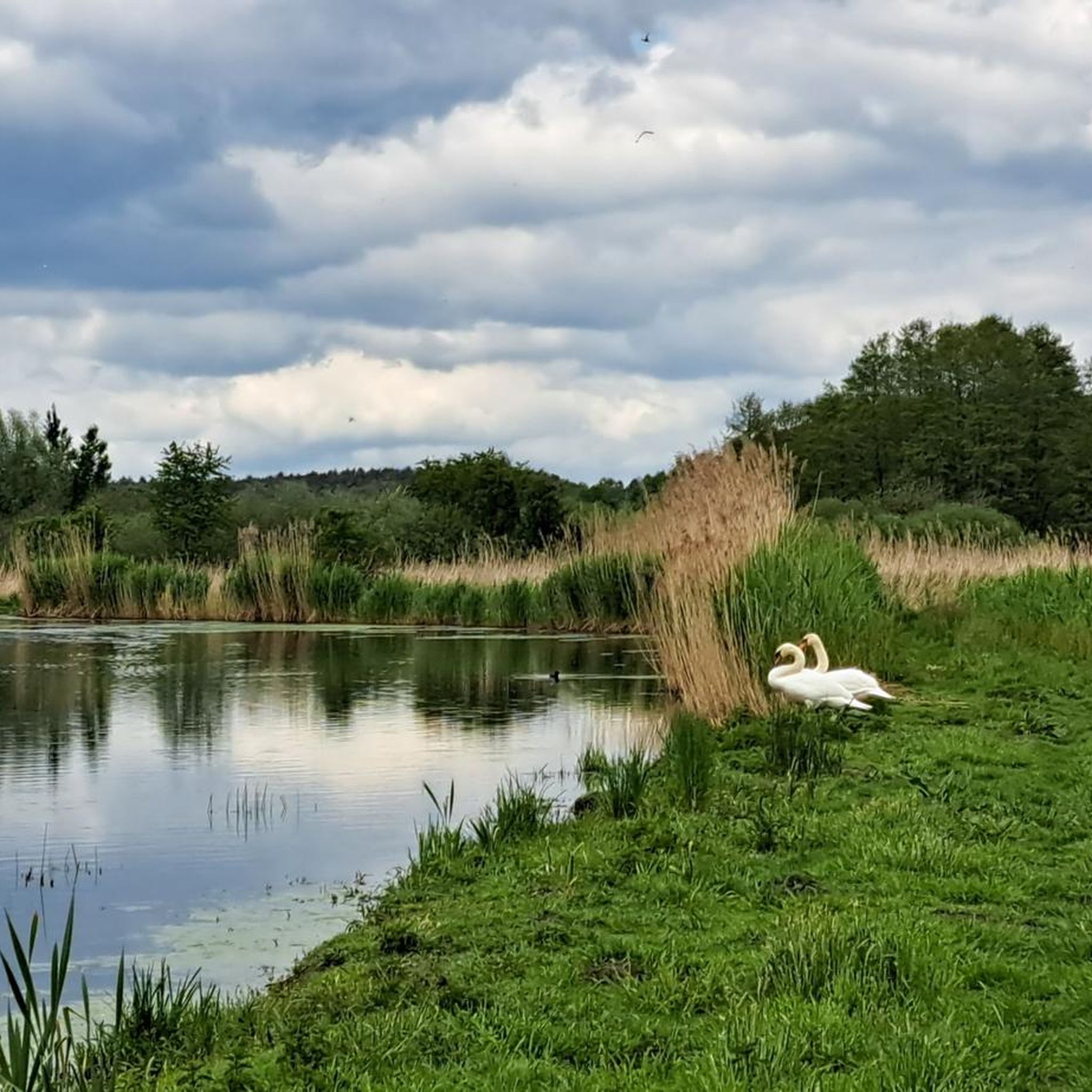
MTB Trails around Höchstadt an der Aisch

Gravel biking around Höchstadt an der Aisch
Other adventures around Höchstadt an der Aisch


Tips from the Community

Idyllic forest sections again and again
0
0

Further information at: https://peakhunter.com/de/peaks/lauberg--3
2
0

We had a lovely hike there last Sunday. The paths are very wide, so you can walk even when it's raining.
0
0
The Geiersberg (333 m) is located between Baiersdorf and Röttenbach. Unfortunately, there is no view from the summit. There are three different routes to the highest point. Below the Geiersberg is the Schwarze Weiher in the Mark State Forest.
0
0

The beautiful forest also offers a lot of variety when you climb the Dreiberg. We have erected a temporary summit cross, please check if it is still there and write to us or build a new, sturdy one ;)
0
0
A small wooded and inconspicuous summit, which is also listed under https://www.peakhunter.com/de/peaks/helmutsberg.
1
0
Summit cross: none View: trees But the small hill is still worth including in a hike.
0
0

The Fürstberg is a west-east running ridge ("ridge") with about 700 m in length. At the western end is the highest point at 373 m. Here is also an old quarry. Unfortunately, the point is overgrown with forest and thus without a view. Now, in winter, I was able to peer through the trees in good visibility to the south and identify the Nuremberg castle, TV tower and the chimney of waste incineration. So there is a direct line of sight to Nuremberg 40 km away. The view to the east would be fantastic, if possible. The place would be ideal for a lookout tower! Edit: on the Fürstberg also used to run the border between the Bishopric of Bamberg and the margraviate Bayreuth.
3
0
Frequently Asked Questions
What are the most popular elevated spots to visit around Höchstadt an der Aisch?
While Höchstadt an der Aisch is known for its rolling hills rather than towering mountains, several elevated spots are popular for their views and hiking opportunities. These include Fürstberg Summit, noted for its historical significance, and Lauberg Summit (340 m), which offers idyllic forest sections and a viewpoint.
What is the highest point in the Erlangen-Höchstadt district?
The highest point in the Erlangen-Höchstadt district is Gelberg, reaching an elevation of 544 meters. While specific visitor amenities on the peak itself are not detailed, its status as the highest elevation suggests it provides extensive views of the surrounding Franconian landscape, making it a rewarding goal for hikers.
Are there any prominent hills or 'mountains' that offer significant local views?
Yes, Rittersberg (389 m) is identified as the most prominent 'mountain' in the Erlangen-Höchstadt district. Its prominence suggests it stands out from the surrounding terrain, likely offering good local views and serving as a popular spot for walks and enjoying the natural surroundings.
What kind of hiking trails can I find near Höchstadt an der Aisch?
The region offers a variety of hiking trails, from easy to moderate. For example, you can find routes like the 'Kleiner Drittelweiher – Drittelweiher loop' or the 'Mohrweiher – Spiegelweiher loop' which are moderate and take you through scenic pond areas. You can explore more options on the Hiking around Höchstadt an der Aisch guide.
Are there any family-friendly elevated areas or trails suitable for beginners?
Many of the local trails are suitable for beginners and families due to the gentle rolling hills. For instance, the 'Bikepark Höchstadt – Höchstädt Play and Rest Island loop' is an easy hiking route. The general topography around Höchstadt, with its rolling hills, makes it accessible for less strenuous ascents, offering tranquil walks through forests and meadows.
What natural parks are located near Höchstadt an der Aisch?
To the west of Höchstadt an der Aisch, you'll find the Steigerwald Nature Park, a hill region known for its diverse forest and vineyard landscapes. To the east, Franconian Switzerland offers picturesque hilly landscapes and dramatic rock formations. Both regions provide excellent opportunities for outdoor activities.
Where can I find unique elevated perspectives or viewpoints in the area?
Besides natural elevations, Höchstadt Castle itself stands high above the town, offering breathtaking views of the surrounding area. In the nearby Steigerwald Nature Park, the impressive Steigerwald Treetop Path near Ebrach provides a unique 42-meter-high observation tower with panoramic views over the forest canopy.
What is the best time of year to hike the elevated areas around Höchstadt an der Aisch?
The region is enjoyable throughout many seasons. Autumn is particularly recommended for hikes in areas like the Steigerwald, offering beautiful forest colors and opportunities for hearty snacks at local establishments. Even in winter, some spots like Fürstberg Summit can offer clear views through the trees on good visibility days.
Are there opportunities for cycling near these elevated spots?
Yes, the area around Höchstadt an der Aisch is well-suited for cycling. You can find numerous routes for road cycling, such as the 'Old Aisch Bridge Höchstadt – Sport Island Forchheim loop,' and gravel biking, like the 'Black Pond – Main-Danube Canal Cycle Path loop.' More details are available in the Road Cycling Routes around Höchstadt an der Aisch guide and the Gravel biking around Höchstadt an der Aisch guide.
What do visitors enjoy most about the elevated areas around Höchstadt an der Aisch?
Visitors appreciate the tranquil walks through idyllic forest sections, the diverse landscapes, and the rewarding panoramic views, even if the elevations are modest. The opportunity to combine nature experiences with cultural stops, like visiting local restaurants and 'Bierkeller' in areas like the Aischgrund, is also highly valued.
Can I find any less-known or 'hidden gem' elevated spots in the region?
While not widely publicized, spots like Geiersberg Summit (333 m), a small hill between Baiersdorf and Röttenbach, are worth including in a hike. Although the summit itself might be overgrown, the journey to it offers three different routes, making it an interesting local exploration. Similarly, Helmutsberg (356 m) is a small, wooded, and inconspicuous summit that offers a quiet natural experience.
Are there any elevated areas that offer views towards Franconian Switzerland?
Yes, a moderate hike in the Erlangen-Höchstadt district, specifically near Märchenweiher near Atzelsberg (Marloffstein), offers a scenic view towards the unique topography of Franconian Switzerland. This region is renowned for its picturesque hilly landscapes and dramatic rock formations.
Most popular routes around Höchstadt an der Aisch
Most popular attractions around Höchstadt an der Aisch

Get inspired with the komoot mobile app


Explore more
See even more amazing summits around Höchstadt an der Aisch with these guides:
