The 3 Most Amazing Peaks around Drensteinfurt
Mountain peaks around Drensteinfurt are found within a predominantly flat, agricultural landscape in North Rhine-Westphalia, Germany. The area is part of the Münsterländer Parklandschaft, characterized by expansive fields, meadows, and small woods. While significant mountains are absent, the region features minor elevation changes, including natural and man-made hills. These points offer local recreational opportunities and views over the surrounding park-like environment.
Best mountain peaks around Drensteinfurt
- The most popular mountain peaks is Kurricker Berg – Highest Natural Point in Hamm…
Last updated: June 28, 2026
Windsegelhalde
Highlight • Structure
Translated by Google •
Tip by

Kurricker Berg – Highest Natural Point in Hamm
Highlight • Summit
Higher in Hamm is only the artificial landscaped "hillside Kissinger height" with 112.3 m above sea level. NN.
Translated by Google •
Tip by

Sign up now to discover places like this
Get recommendations on the best single tracks, peaks, & plenty of other exciting outdoor places.
Sign up for free
Highest Point of Halde Zeche Sachsen
Highlight • Summit
Translated by Google •
Tip by

Nienbrügger Berg
Highlight • Summit
Translated by Google •
Tip by

Start today with a free account
Your next adventure awaits.
Login or Signup
Popular around Drensteinfurt
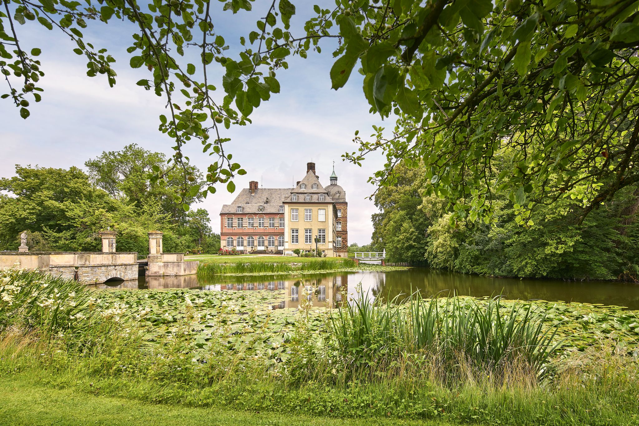
Castles, Fortresses & Nature – cycling in the Warendorf’s parkland
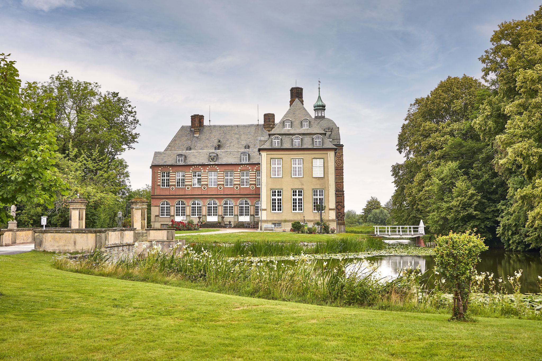
Wonderful cycling Tours in Warendorf’s park landscape
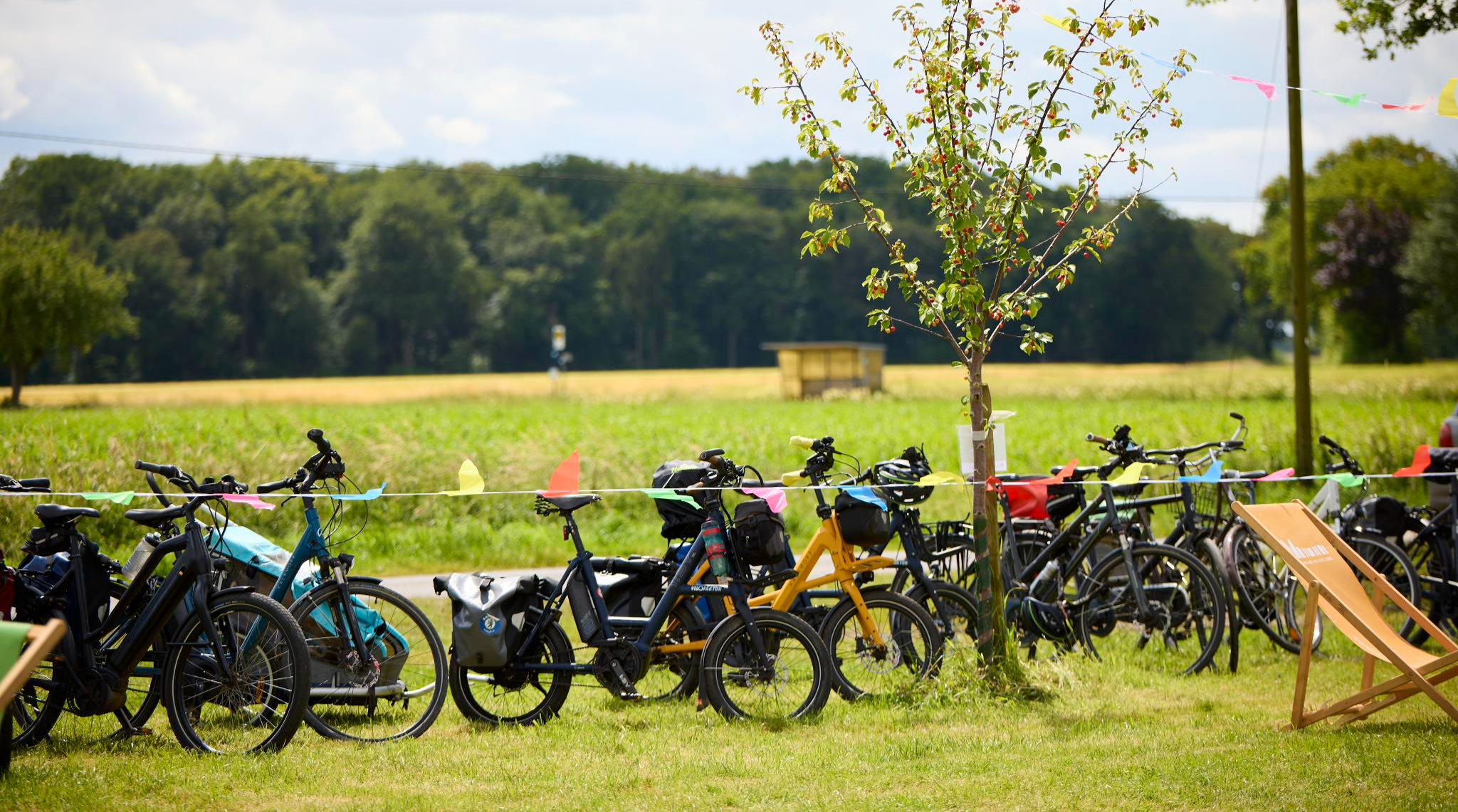
Wandeln & Handeln Routen quer durchs Münsterland
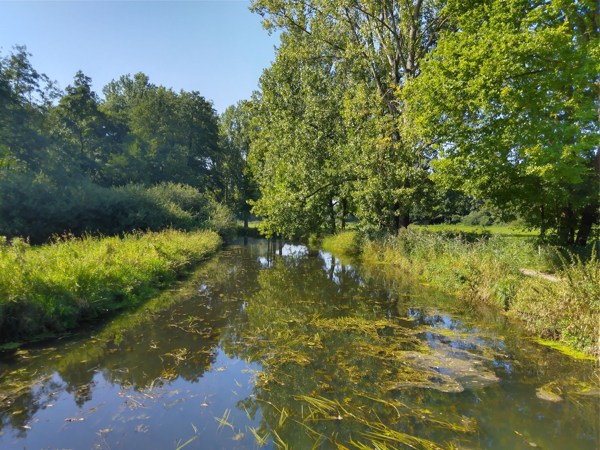
VITAL.NRW - „Erlebbare Gewässer“ in der 8Plus-Region
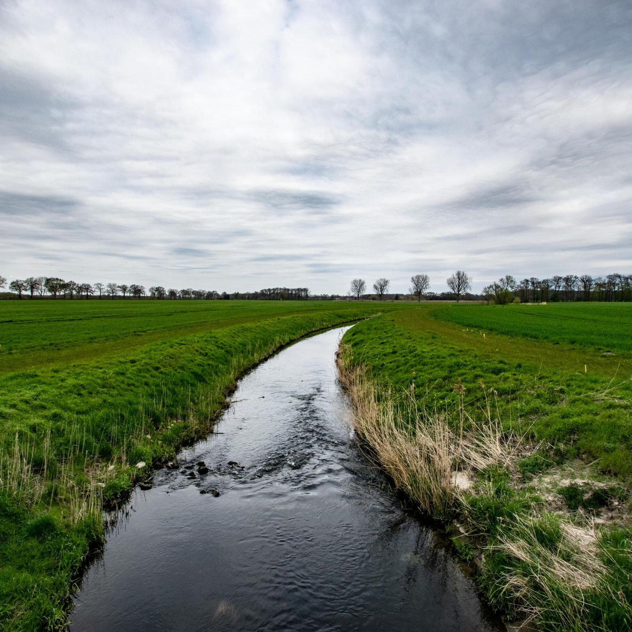
Cycling around Drensteinfurt
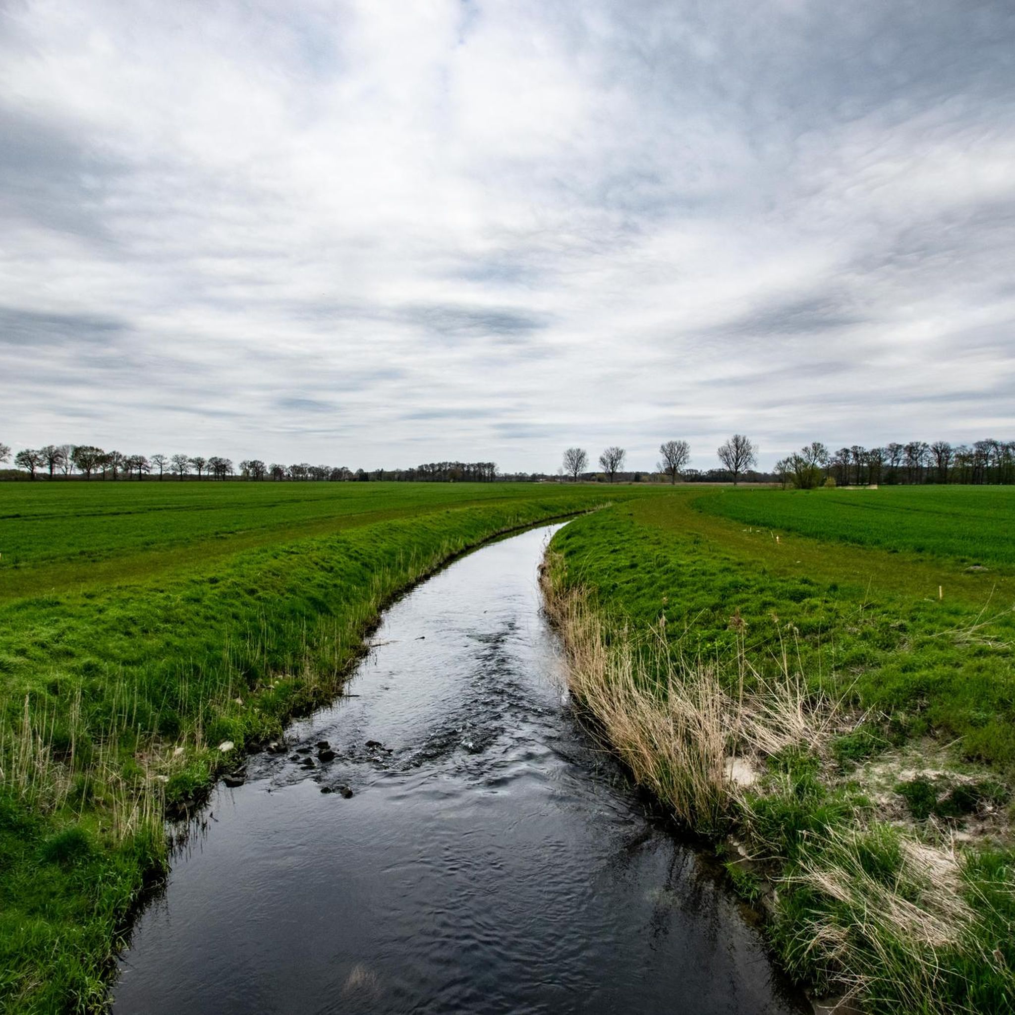
Hiking around Drensteinfurt
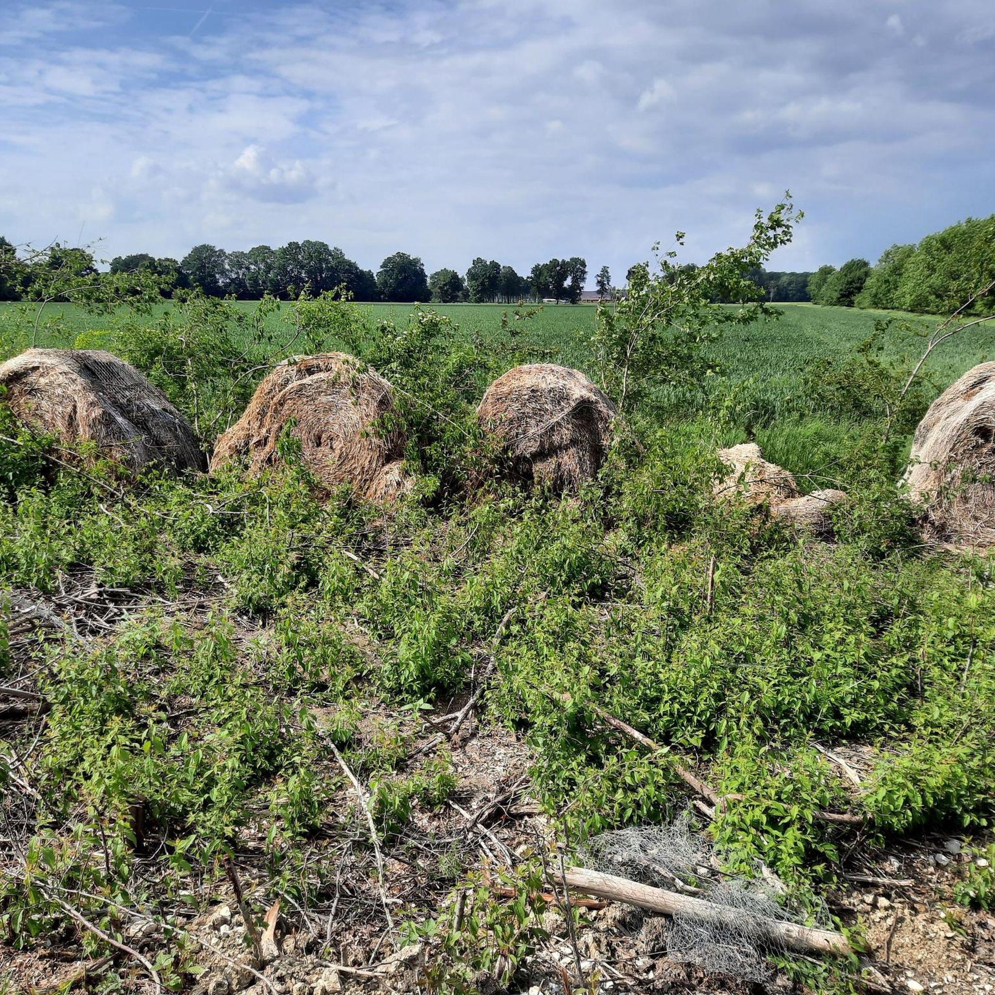
Road Cycling Routes around Drensteinfurt
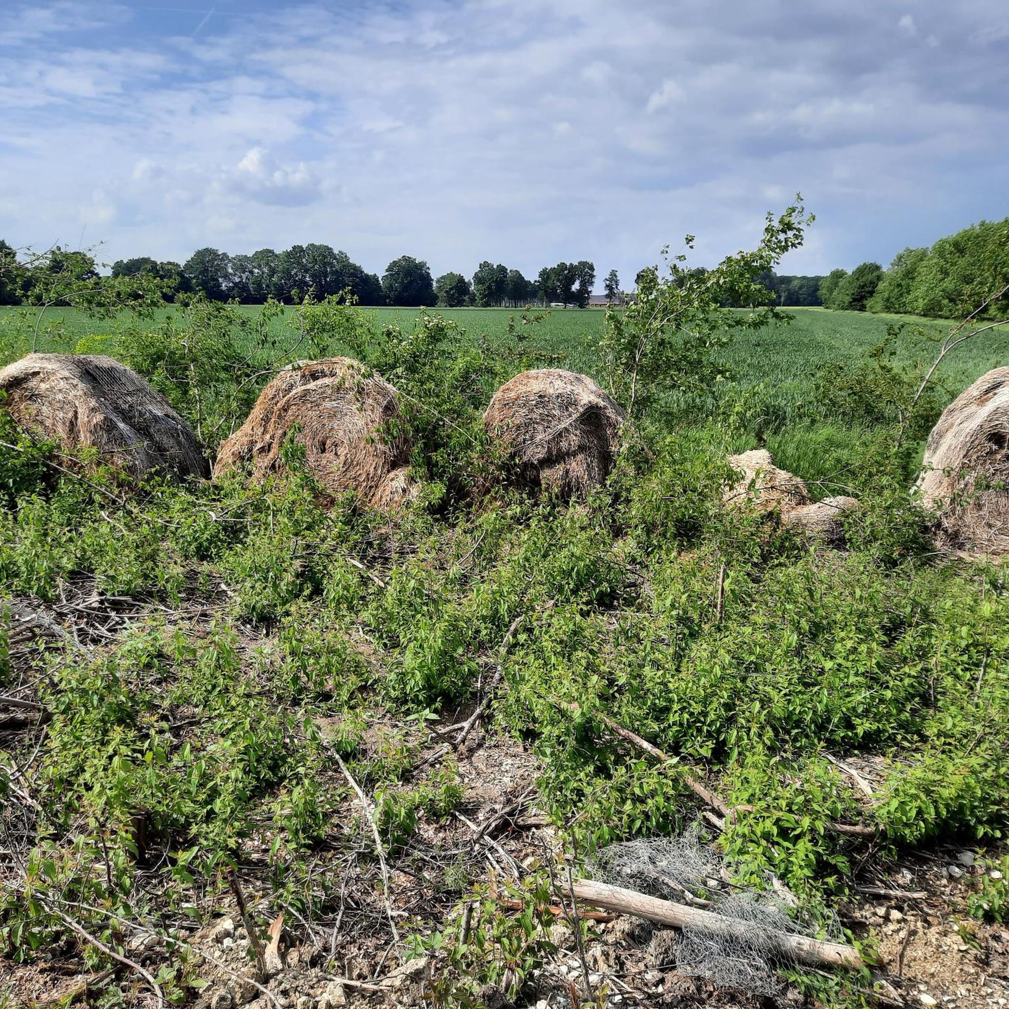
Running Trails around Drensteinfurt
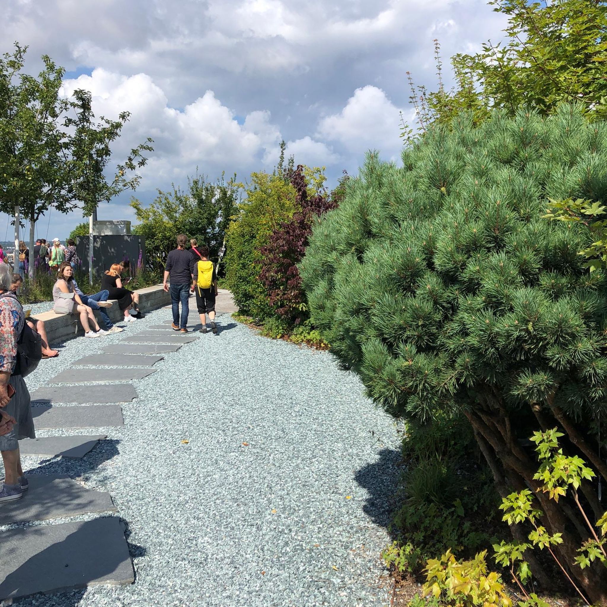
Gravel biking around Drensteinfurt
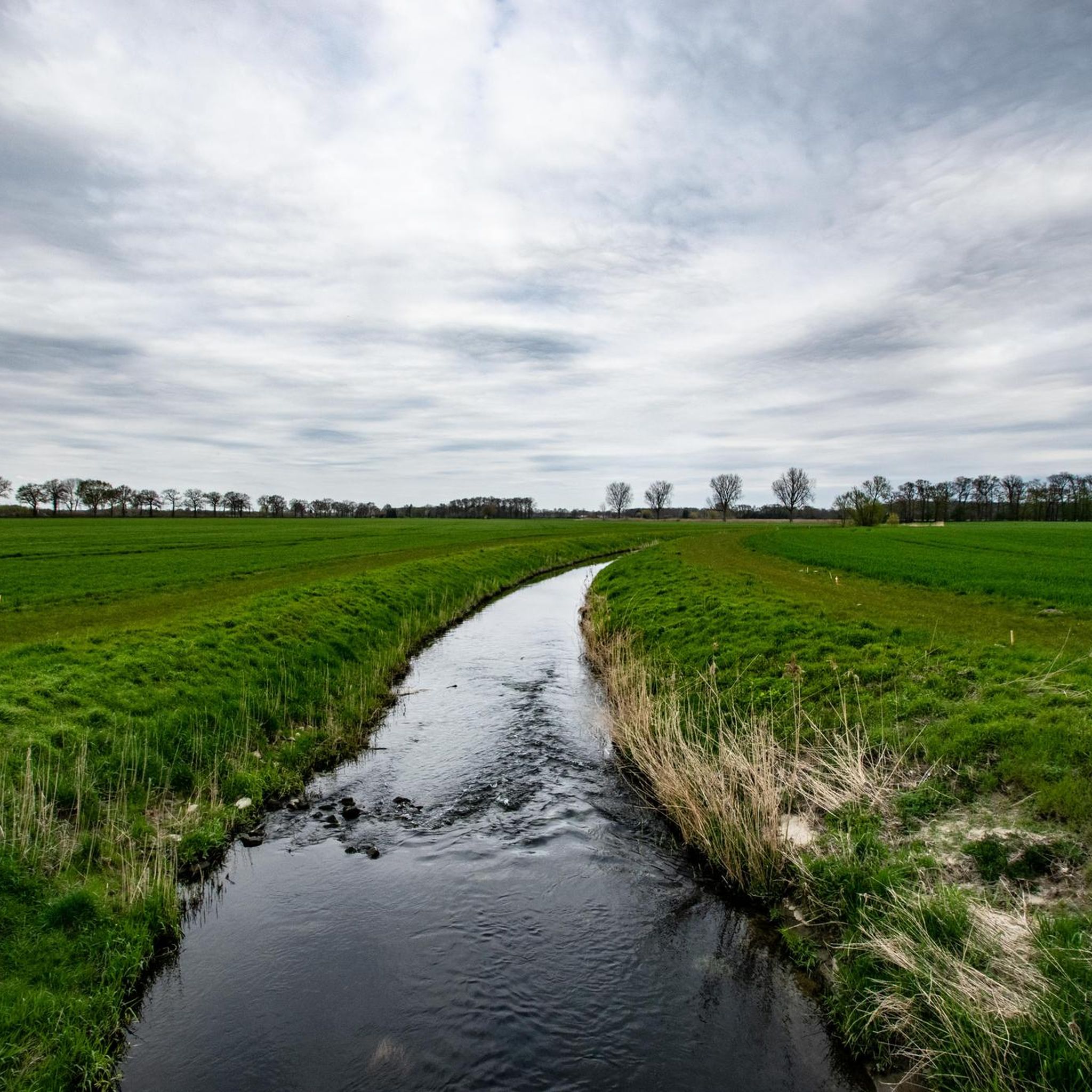
MTB Trails around Drensteinfurt
Other adventures around Drensteinfurt


Tips from the Community

A high mast crowns the summit. A large white sail used to be attached here as a wind indicator. In summer, the view is almost non-existent due to the bushes.
2
0

Nice little forecourt on gravel rides, street tires are not quite right here
0
0

The so-called Nienbrügger Berg was originally a household waste and rubble dump. It was recultivated in 1999 and opened up for local recreation. Some paths are passable, but some are very overgrown. Whether hiking, MTB or Gravel. A climb to the summit plateau is rewarded with a good view. At the north-western foot of the heap there is an information board on the history of the landfill and on the fauna and flora.
1
1
Great for a little hill sprint and a reasonably good view. According to the Statistical Yearbook of the City of Hamm 2005, the highest natural elevation in the district area and also in the city of Hamm is 102.0 m above sea level. NN on the Kurricker Berg. In fact, only about 10% of the Kurricker Berg belongs to Bockum-Hövel; the larger part, including the highest elevation, is in Drensteinfurt.
0
0
The Nienbrügger Berg is one of the few tailings dumps north of the Lippe in Hamm.
0
2

The Windsiegelhalde is one of the 3 heaps of the former Sachsen mine.
1
0
Nice little dump to collect some vertical meters. There is hardly any view, so I recommend going to the smaller panorama heap right next door. Watch out: Unfortunately there are many broken glass on both peaks 😒
0
0

The eight-meter-high steel Saxon cross by Paul Reding with bronze relief panels stands on the panorama heap.
1
0
Frequently Asked Questions
What kind of 'mountain peaks' can I expect to find around Drensteinfurt?
Drensteinfurt is located in a predominantly flat, agricultural landscape. The 'peaks' in this region are generally minor elevation changes, including natural hills and recultivated man-made mounds, rather than traditional mountains. They offer local recreational opportunities and views over the surrounding Münsterländer Parklandschaft.
Which are the highest points or most notable elevations near Drensteinfurt?
The most notable elevations include Kurricker Berg – Highest Natural Point in Hamm, which, at 100.5 meters above sea level, is Hamm's highest natural point, with its larger part located in Drensteinfurt. Other significant spots are Windsegelhalde, a man-made summit, and Nienbrügger Berg, a recultivated former dump offering good views.
Are there family-friendly trails or activities around Drensteinfurt's peaks?
Yes, some of the local elevations are suitable for families. For instance, Kurricker Berg is categorized as family-friendly and offers a reasonably good view after a short ascent. The overall landscape of Drensteinfurt, with its park-like environment, is well-suited for leisurely walks and cycling with family.
What kind of views can I expect from these local peaks?
From elevations like Kurricker Berg and Nienbrügger Berg, you can expect good views over the flat, agricultural landscape of the Münsterländer Parklandschaft. While Windsegelhalde also offers a summit experience, its view can be limited by bushes in summer.
What outdoor activities can I do near the peaks around Drensteinfurt?
The region around Drensteinfurt is ideal for various outdoor activities. You can explore extensive cycling routes, including gravel biking and touring bicycle routes. For specific routes, consider guides like Gravel biking around Drensteinfurt, MTB Trails around Drensteinfurt, or Cycling around Drensteinfurt.
Are there challenging climbs or hikes in the Drensteinfurt area?
Given the predominantly flat landscape, Drensteinfurt does not offer challenging mountain climbs in the traditional sense. The 'peaks' are minor elevations, providing more gentle ascents suitable for leisurely walks or short 'hill sprints' rather than strenuous mountaineering.
What is the best time of year to visit the peaks and trails around Drensteinfurt?
The region is generally pleasant for outdoor activities from spring through autumn. Spring brings blooming fields, while autumn offers colorful foliage. Summer is also suitable, though some views might be obscured by dense foliage, as noted for Windsegelhalde. Winter hiking is possible, but conditions can vary.
Can I bring my dog on walks around Drensteinfurt's peaks?
Yes, the trails and paths around Drensteinfurt's local elevations are generally dog-friendly. The park-like landscape with its fields and small woods provides ample space for walks with your dog. Always ensure your dog is under control and respect local regulations regarding leashing.
What kind of natural features can I expect to see in the Drensteinfurt region?
The Drensteinfurt region is characterized by the 'Münsterländer Parklandschaft,' featuring expansive fields, meadows, small woods, and hedges. While there are no dramatic mountain ranges, you'll encounter a serene, green landscape with minor elevation changes, offering a peaceful natural setting for walks and cycling.
What do visitors enjoy most about the local peaks around Drensteinfurt?
Visitors appreciate the local peaks for the recreational opportunities they provide within the flat landscape. They enjoy the 'little hill sprints' and the 'reasonably good view' from spots like Kurricker Berg, and the rewarding views from the summit plateau of Nienbrügger Berg. The overall appeal lies in accessible outdoor experiences and scenic, gentle landscapes.
Are there any historical or cultural points of interest near these elevations?
While the peaks themselves are primarily natural or recultivated sites, the broader Drensteinfurt area, as part of Münsterland, is known for its castles and historical estates. For example, cycling routes in the region, such as those found in the Cycling around Drensteinfurt guide, often pass by historical sites like Westerwinkel Castle or Nordkirchen Palace.
Most popular routes around Drensteinfurt
Most popular attractions around Drensteinfurt

Get inspired with the komoot mobile app


Explore more
See even more amazing summits around Drensteinfurt with these guides:
