The 4 Most Amazing Peaks around Dormagen
Mountain peaks around Dormagen are not a prominent feature, as the town is situated on the flat western bank of the Rhine River. With an average elevation of approximately 45 meters above sea level, Dormagen's landscape is predominantly flat. While the immediate vicinity lacks significant elevations, the broader region of North Rhine-Westphalia does contain higher points. Visitors to Dormagen can explore other natural attractions such as the Rheinaue Zons-Rheinfeld und Altrheinschlinge Zons nature reserve.
Best mountain peaks around Dormagen
- The…
Last updated: June 27, 2026
Jaberg Observation Tower
Highlight • Monument
The …
Translated by Google •
Tip by

Taubenberg (81 m)
Highlight • Summit
de.wikipedia.org/wiki/Taubenberg_(Terminology%C3%A4rung)
(ME-034) >>
nsg.naturschutzinformation.nrw.de/nsg/de/fachinfo/gebiete/gesamt/ME_034
"... The Hilden city forest used to be interspersed with larger heath areas, which have now largely disappeared for many decades due to reforestation. Scattered …
Translated by Google •
Tip by

Sign up now to discover places like this
Get recommendations on the best single tracks, peaks, & plenty of other exciting outdoor places.
Sign up for free
Vollrather Höhe Summit
Highlight • Summit
Translated by Google •
Tip by

View from the summit of Sandberg
Highlight • Viewpoint
Translated by Google •
Tip by

Summit Cross Wenzelnberg
Highlight • Summit
Translated by Google •
Tip by

Sign up for free to discover even more peaks around Dormagen.
Sign up for free
Already have an account?
Start today with a free account
Your next adventure awaits.
Login or Signup
Popular around Dormagen
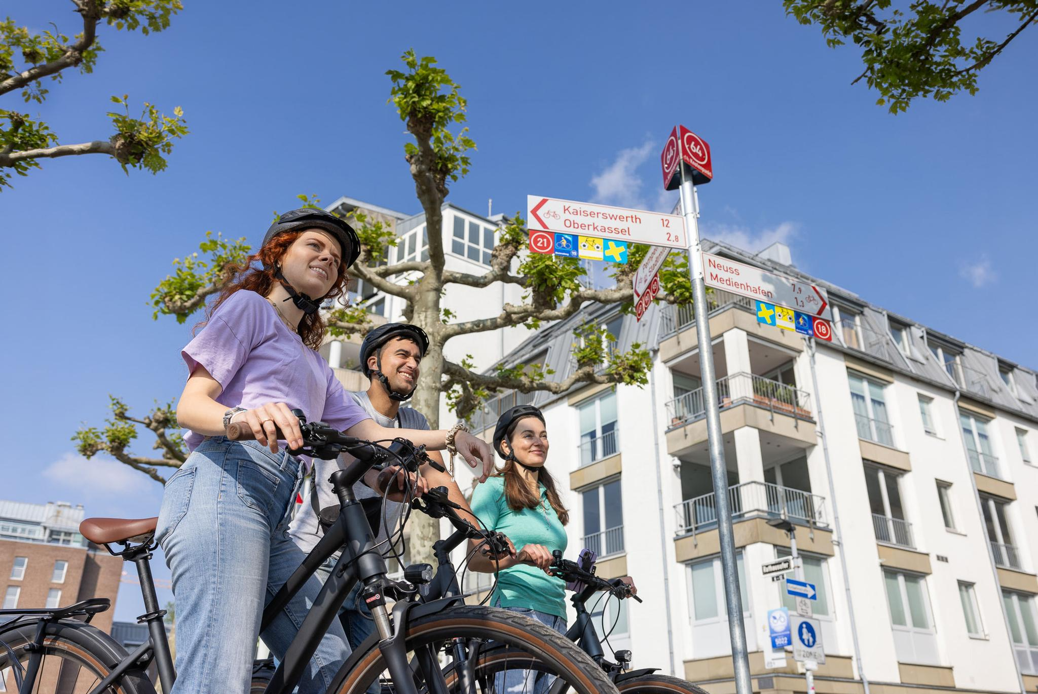
Cycling by Numbers – flexible rides in the Radregion Rheinland
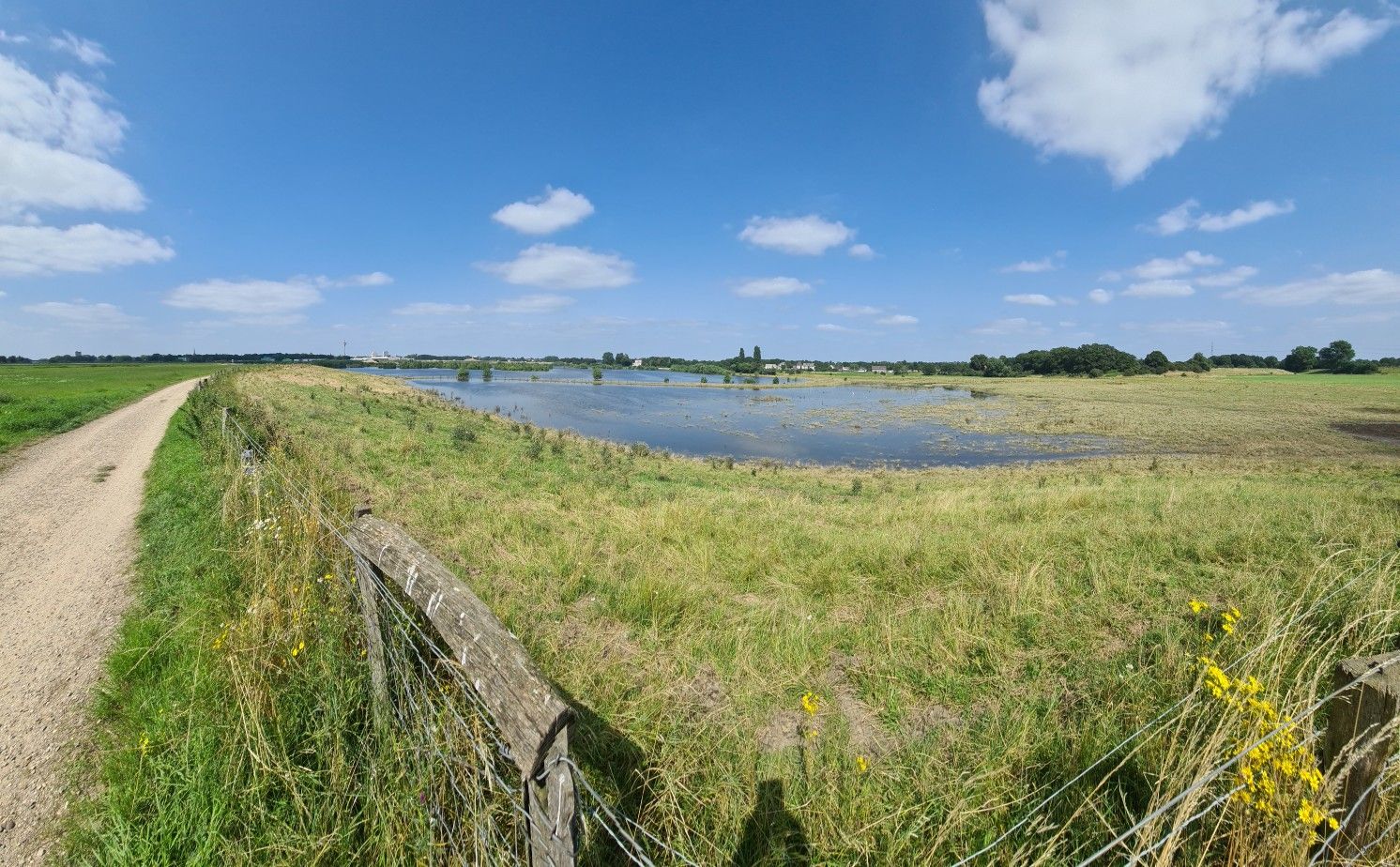
The way is the goal – Lower Rhein Route
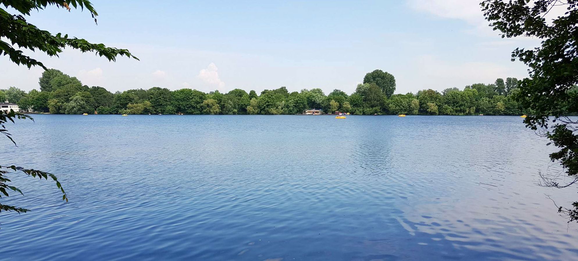
The most beautiful swimming lakes around Düsseldorf
Hiking around Dormagen
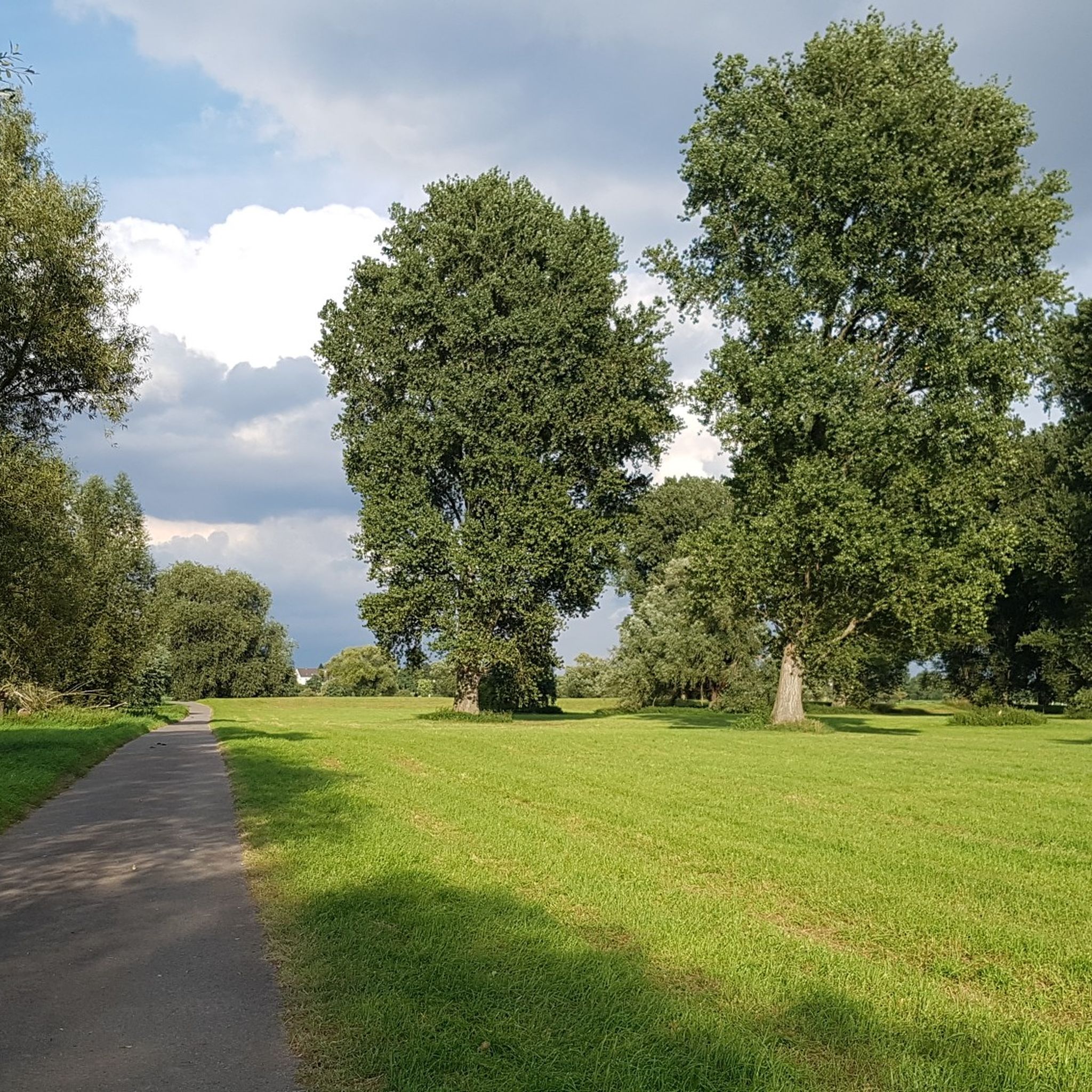
Cycling around Dormagen
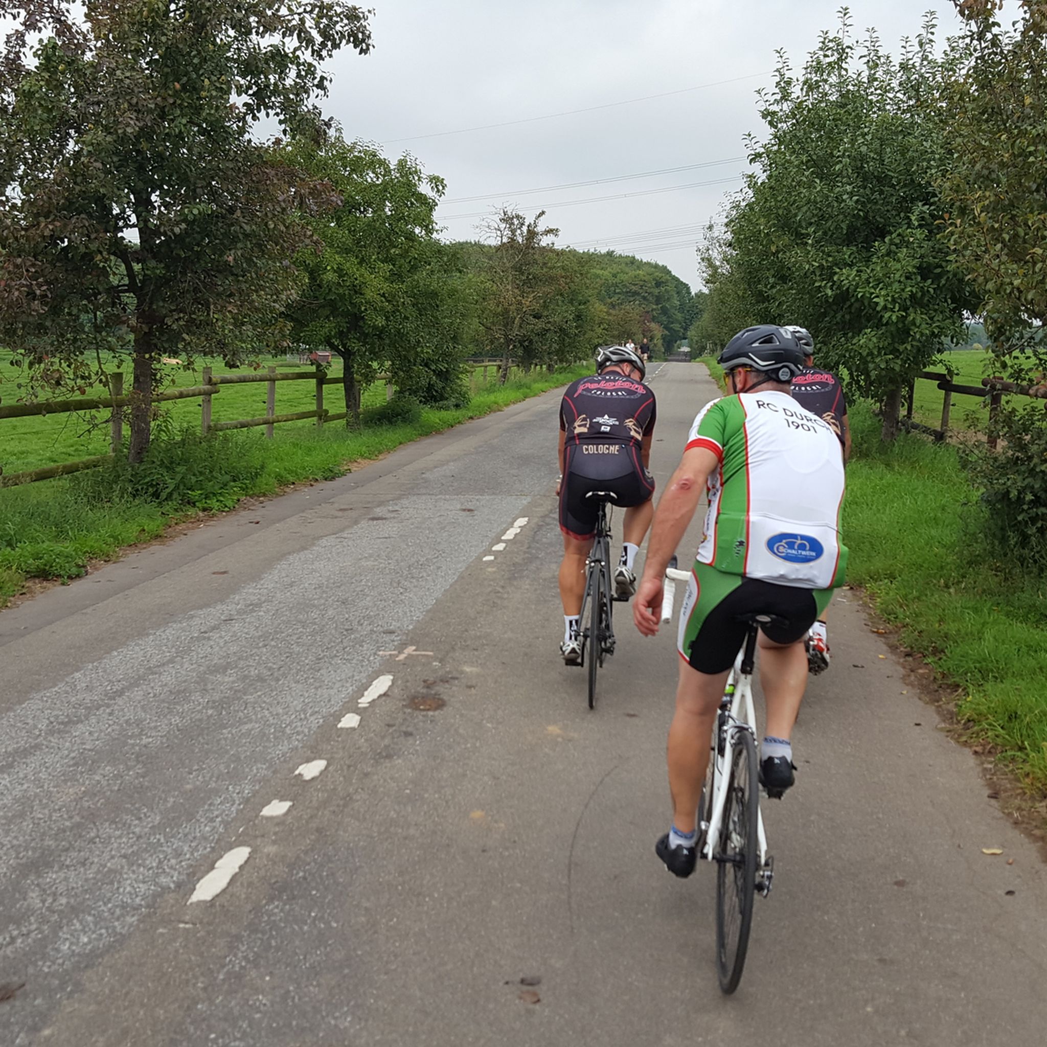
Road Cycling Routes around Dormagen
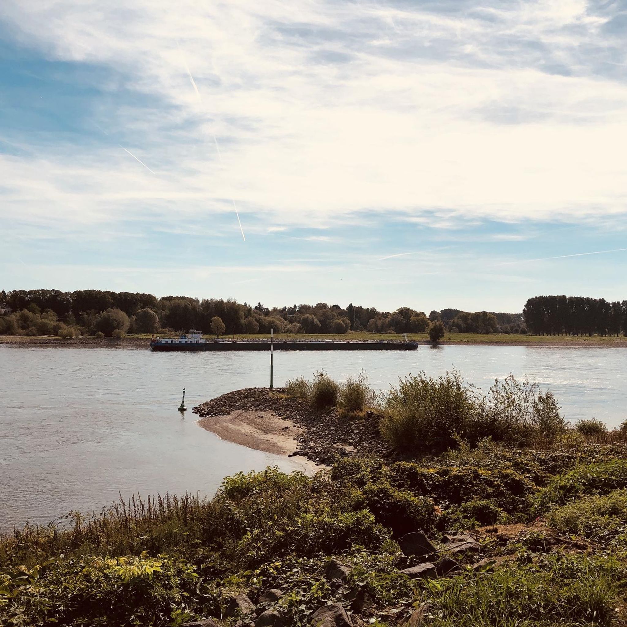
Running Trails around Dormagen
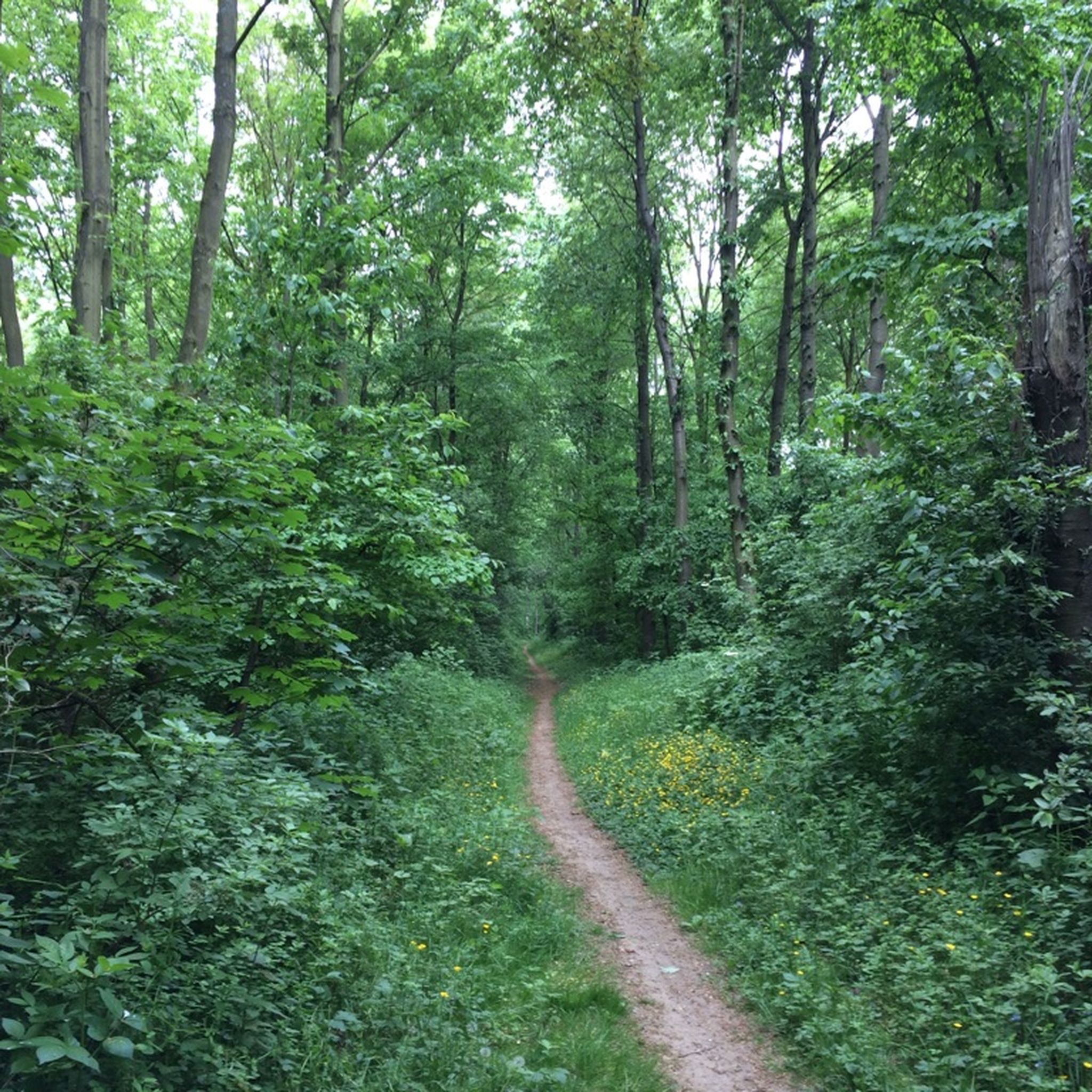
MTB Trails around Dormagen
Gravel biking around Dormagen


Tips from the Community

Always happy to come back 😉 Absolutely recommendable 👌 great area
1
0

At 116m, the Wenzelnberg is the highest elevation in Langenfeld. There are two benches right at the cross. Due to the dense forest, there is no view of the surrounding area.
2
0

A small climb in the forest, but the surroundings are beautiful. There is also a modern training element on the fitness trail.
1
0

From the source of the Hardtbach to the highest point in Langenfeld, the route goes through the gorge in the Wenzelnberg, past the memorial, various benches and along paths where the walking sticks are a good help.
0
0

The Taubenberg is 81m high and there is also a fitness machine
0
0

The ascent is quite unique for the area, at the top it's flat and level like Table Mountain, the way down is quite relaxed. A beautiful piece of nature, even if it's just a spoil heap from opencast mining.
2
0
Frequently Asked Questions
Are there actual mountain peaks in Dormagen?
Dormagen itself is characterized by a relatively flat topography, situated on the western bank of the Rhine River with an average elevation of approximately 45 meters above sea level. Therefore, there are no actual mountain peaks within Dormagen. The guide refers to elevated points, viewpoints, and man-made structures in the surrounding area.
What are the highest elevated points or viewpoints near Dormagen?
While Dormagen is flat, the surrounding region offers several elevated points and viewpoints. Notable examples include the Taubenberg (81 m), which offers a small climb in the forest within the Hildener Heide nature reserve, and the Wenzelnberg Summit (116m), the highest elevation in Langenfeld. For panoramic views, the View from the summit of Sandberg provides beautiful vistas over fields and the Rhine valley on clear days.
Are there any observation towers or man-made elevated structures to visit?
Yes, the Jaberg Observation Tower is a prominent man-made monument near Dormagen. This 13.2-meter-high tower offers views of Düsseldorf and has historical stories associated with its origins, dating back to 1931.
What kind of views can I expect from these elevated points?
From the View from the summit of Sandberg, you can enjoy beautiful vistas over fields and, on clear days, far into the Rhine valley. Other points like the Taubenberg (81 m) offer views within forest settings, while the Jaberg Observation Tower provides a broader perspective, including views towards Düsseldorf.
Are there family-friendly elevated areas or viewpoints near Dormagen?
Yes, both the View from the summit of Sandberg and Taubenberg (81 m) are considered family-friendly. The Taubenberg offers a small climb in a forest setting, which can be enjoyable for families.
What outdoor activities can I do near these elevated points around Dormagen?
While there are no traditional mountain activities, the area around Dormagen is excellent for various outdoor pursuits. You can find numerous hiking trails, running routes, and gravel biking tours. These routes often pass through natural reserves and offer opportunities to explore the landscape.
Are there hiking trails that lead to these elevated points?
Yes, many local hiking trails incorporate these elevated points. For instance, the area around the Taubenberg (81 m) is part of the Hildener Heide nature reserve, offering forest paths. Similarly, the Wenzelnberg Summit is accessible via paths, though dense forest may obscure views directly from the top. You can find various routes in the Hiking around Dormagen guide.
What natural reserves can be explored near Dormagen's elevated areas?
The Taubenberg (81 m) is situated within the beautiful Hildener Heide nature reserve, known for its heathland and diverse flora. Additionally, the broader region includes the Rheinaue Zons-Rheinfeld und Altrheinschlinge Zons nature reserve, offering other natural attractions.
What do visitors enjoy most about the elevated points and viewpoints near Dormagen?
Visitors particularly appreciate the scenic views over fields and the Rhine valley from spots like the View from the summit of Sandberg, especially on clear days. The small climbs in forested areas, such as at Taubenberg (81 m), are also enjoyed for their natural beauty and tranquility.
Can I find historical sites or monuments at these elevated locations?
Yes, the Jaberg Observation Tower is a man-made monument with historical significance, built in 1931. The stories about the Jaberg itself are said to go back to the Stone Age. The Summit Cross Wenzelnberg also marks a significant spot, being the highest elevation in Langenfeld.
Are there any specific tips for visiting the Jaberg Observation Tower?
The Jaberg Observation Tower, while a notable landmark, is not always open for public access. Keys may need to be ordered in advance from the city of Hilden. It's advisable to check current access conditions before planning your visit to ensure you can ascend the tower.
Most popular routes around Dormagen
Most popular attractions around Dormagen

Get inspired with the komoot mobile app


Explore more
See even more amazing summits around Dormagen with these guides:
