The 4 Most Amazing Peaks in Machachi
Best mountain peaks in Machachi, located in Ecuador's "Avenue of Volcanoes," offer access to several prominent peaks. This region is characterized by its volcanic landscape and diverse terrain. It serves as a base for mountain enthusiasts seeking various hiking and climbing experiences. The area provides opportunities to explore significant Andean natural features.
Best mountain peaks in Machachi
- The most popular mountain peaks is Corazón Summit, a summit that involves navigating muddy paths and a somewhat exposed rock transition. It…
Last updated: July 8, 2026
Corazón Summit
Highlight • Summit
Translated by Google •
Tip by

Rumiñahui (4,721 m)
Highlight • Volcano
Tip by

Sign up now to discover places like this
Get recommendations on the best single tracks, peaks, & plenty of other exciting outdoor places.
Sign up for free
Mini Gully
Highlight • Gorge
Translated by Google •
Tip by

View from the Summit of Cotopaxi
Highlight • Summit
Translated by Google •
Tip by

Start today with a free account
Your next adventure awaits.
Login or Signup
Popular around Machachi
Tips from the Community

Finally the summit of North Rumiñahui is achieved, a summit hug, for photos and back
0
0
There is a gutter both up and down to reach the top of Rumiñahui Norte, take due precautions, a lot of loose rock in the part that is not attached to the rock wall. If you go with people who know how to climb and de-climb, there is no need for a rope, otherwise you can set up a station, although the travel time increases considerably.
0
0
Mini crack or gutter, it can be passed in three parts, from below, in the middle and above the whole. It is best to go through the middle
0
0

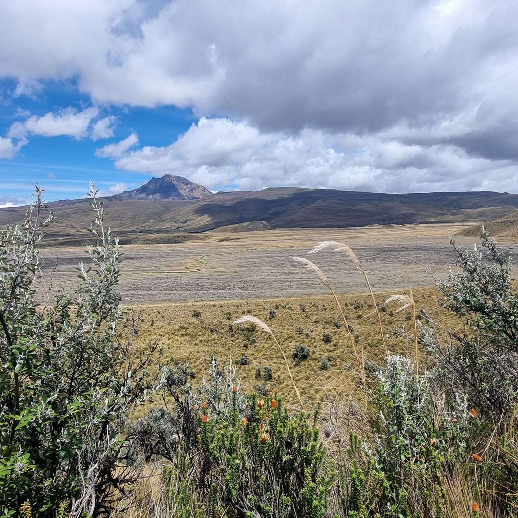
We went from El Chaupi to the Corazón. Our ascent began at the entrance to the Reserva, where we left the car. Then we followed the dirt road to the marked junction of the path to Corazón. From now on we went on muddy paths through the Paramo up to a ridge that led us directly to the summit. This path climbs very steeply in places. One point, a rather exposed rock transition, is a bit daring to cross, but almost everyone can master it with concentration and the use of hands. However, normal dogs have problems here. The point is about 30 minutes from the summit. After overcoming this passage, it goes on with easy scrambling to the summit. If several people are on the move, a helmet is a good idea because of the risk of stones being kicked. I have now been to the Corazón twice and unfortunately, despite the early start (ascent from 6:30 a.m.), the weather never allowed me a clear view of the summit. The photos of the Ilinizas, the Cotopaxi, Ruminahui, Sincholagua and even the Antisana were only possible at the beginning of the hike. The ascent to the summit took about 4 hours. We had taken a few breaks.
1
0

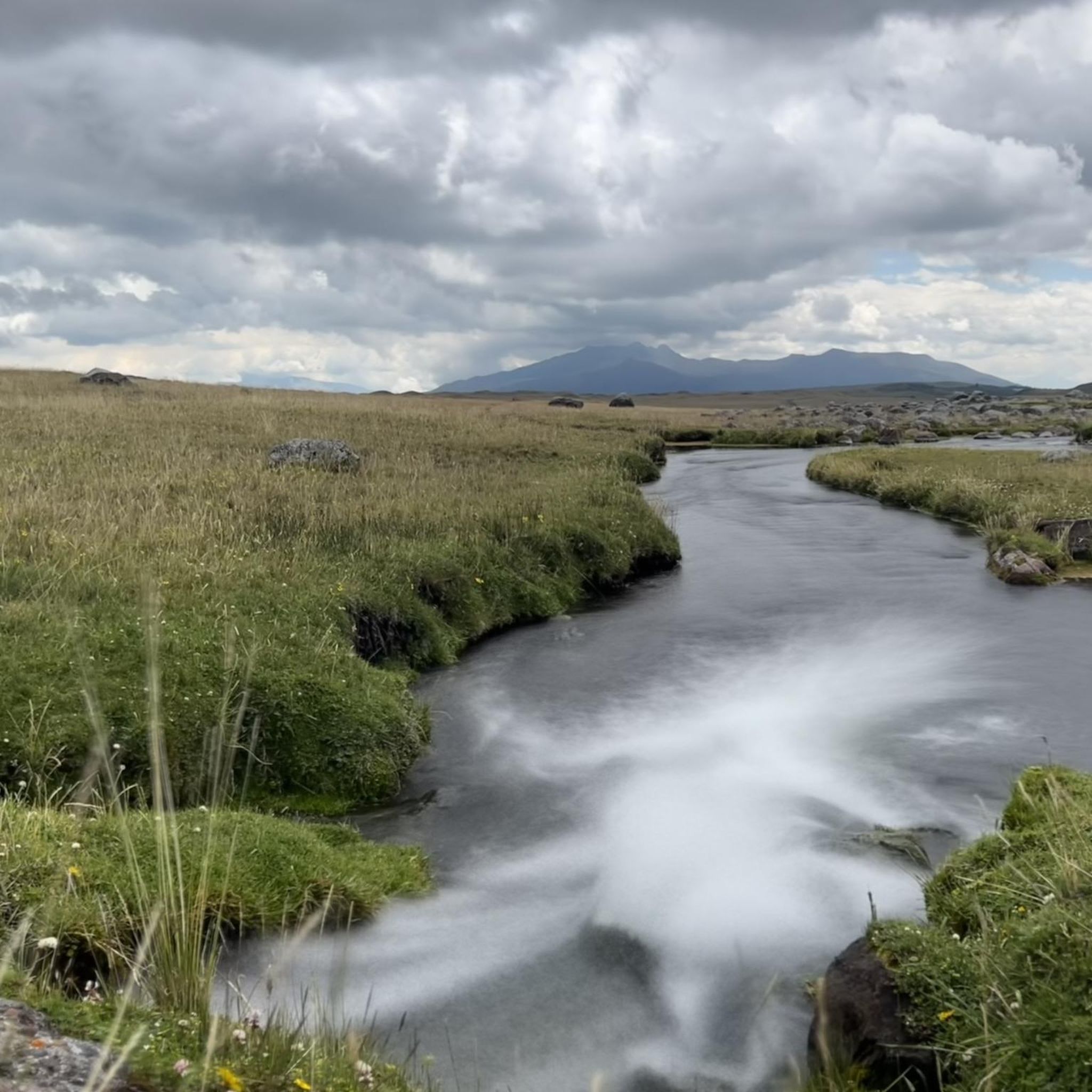
Rumiñahui is a dormant, heavily eroded stratovolcano 4,721 metres (15,489 ft) above sea level. Situated in the Andes mountains 40 km south of Quito, Ecuador, it is overshadowed by its famous neighbour Cotopaxi.
3
0

Start early and save time when closing off the sandy eastern flank. Then you are down again before the first rain.
1
0
Frequently Asked Questions
What are the most notable mountain peaks to explore around Machachi?
Machachi, situated in Ecuador's "Avenue of Volcanoes," offers access to several magnificent peaks. Among them, Cotopaxi Volcano stands out as an iconic active volcano with a nearly perfect cone shape, offering unparalleled panoramic views. Rumiñahui Volcano provides challenging hikes and breathtaking views, while the Illinizas Peaks (North and South) cater to varying climbing difficulties. Corazón Volcano offers a rewarding hiking experience with views of other prominent volcanoes during the ascent. For accessible nature close to Machachi, Sincholagua provides stunning vistas, and the Pasochoa Wildlife Refuge is excellent for birdwatching and enjoying preserved Andean forest.
What are the difficulty levels for hiking the mountain peaks near Machachi?
The mountain peaks around Machachi offer a range of difficulties. Peaks like Corazón Summit and Rumiñahui (4,721 m) are generally considered challenging, involving muddy paths, exposed rock transitions, and steep ascents. The Illinizas Peaks also vary, with Illiniza North being more accessible for experienced hikers, while Illiniza South presents a more technical climbing challenge. Cotopaxi offers high-altitude refuge ascents and summit attempts that require significant mountaineering experience. Sincholagua and Pasochoa offer more accessible hiking opportunities.
What is the best time to visit the mountain peaks in Machachi?
The region generally experiences stable weather conditions year-round, making many peaks accessible throughout the year. However, for the clearest views and most favorable hiking conditions, the dry season (typically June to September) is often recommended. Always check local weather forecasts before planning your ascent, as conditions can change rapidly at high altitudes.
Are there family-friendly mountain trails or activities near Machachi's peaks?
While many of the major peaks present challenging climbs, the Cotopaxi National Park, accessible from Machachi, offers various activities suitable for families, including easier hiking trails, biking, and horseback riding with stunning views of Cotopaxi and Rumiñahui. The Pasochoa Wildlife Refuge also provides trails suitable for enjoying nature and birdwatching, which can be a good option for families.
What natural features can I expect to see when exploring the mountains around Machachi?
You can expect to encounter diverse natural features, including dramatic volcanic landscapes, high-altitude páramo ecosystems, and remnants of Andean forest. Highlights include the nearly perfect cone shape of Cotopaxi, the stunning views from various summits like View from the Summit of Cotopaxi, and the serene Limpiopungo Lagoon within Cotopaxi National Park, which offers excellent viewpoints for both Rumiñahui and Cotopaxi. The Pasochoa Wildlife Refuge is particularly rich in diverse flora and fauna, making it ideal for birdwatching.
What permits are needed for hiking or climbing the Illinizas Peaks near Machachi?
For climbing the Illinizas Peaks, especially Illiniza South, it is generally recommended to go with a certified guide due to the technical nature of the ascent. While specific permits for hiking might vary, entry into national parks or protected areas often requires a fee or registration. It's advisable to check with local authorities or tour operators in Machachi for the most current permit requirements and regulations before your visit.
Where can I park when visiting mountain peaks like Rumiñahui or Corazón?
For peaks like Corazón Summit, visitors often start from El Chaupi, where parking is available near the entrance to the Reserva. For Rumiñahui, access points within Cotopaxi National Park would typically have designated parking areas. It's always best to confirm specific parking locations and any associated fees with local guides or park authorities prior to your trip.
What outdoor activities can I do near the mountain peaks in Machachi?
Beyond summiting peaks, Machachi is an excellent base for various outdoor activities. You can find numerous hiking trails, including moderate to difficult routes like the "Limpiopungo Lagoon – View of Limpiopungo Lake loop" or the challenging "José Rivas Refuge – View from Cotopaxi loop." For mountain biking enthusiasts, there are routes such as "The Flight of the Guarro loop" or the "Limpiopungo Lagoon – Hidden Highland Lagoon loop." You can explore more options on the Hiking in Machachi and MTB Trails in Machachi guide pages.
How do Rumiñahui and Corazón compare for hiking in Machachi?
Both Rumiñahui and Corazón offer challenging and rewarding hiking experiences. Rumiñahui is a dormant stratovolcano providing breathtaking views and a sense of accomplishment upon summiting. Corazón, while potentially having weather limitations at the very top, offers beautiful views of other volcanoes like the Illinizas, Cotopaxi, and Rumiñahui during the ascent. The hike to Corazón Summit involves navigating muddy paths and a somewhat exposed rock transition, making it a challenging yet rewarding experience.
What should I pack for high-altitude hiking in Machachi?
When undertaking high-altitude hikes around Machachi, it's crucial to be prepared for varying conditions. Essentials include layers of clothing (base, mid, and outer shell) to adapt to temperature changes, waterproof and windproof gear, sturdy hiking boots, sun protection (hat, sunglasses, high SPF sunscreen), plenty of water, high-energy snacks, and a first-aid kit. For more technical climbs, specialized equipment like helmets (due to potential loose rock), ice axes, and crampons may be necessary. Always consider hiring a local guide for higher peaks.
What makes Cotopaxi a significant peak to visit near Machachi?
Cotopaxi Volcano is one of Ecuador's most iconic and active volcanoes, renowned for its nearly perfect cone shape and impressive elevation of 5,897 meters (19,347 ft). It offers an exhilarating adventure for mountaineers aiming for its high-altitude refuge or summit, providing unparalleled panoramic views of the Andean landscape. Even without a full ascent, the sheer majesty of Cotopaxi and the surrounding national park make it a must-see, with opportunities for hiking, biking, and horseback riding.
What are the Illinizas Peaks known for?
The Illinizas Peaks are a pair of prominent peaks (North and South) that are a popular destination for climbers and mountaineers. They are known for offering varying levels of climbing difficulty, making them suitable for different experience levels. Illiniza North is generally considered more accessible for experienced hikers, while Illiniza South presents a more technical climbing challenge. Both peaks provide stunning alpine scenery and a true mountaineering experience within the "Avenue of Volcanoes."
What can I expect when visiting Sincholagua?
Sincholagua is a mountain peak located directly in Machachi, offering stunning views of the surrounding landscape. It provides accessible hiking opportunities for those looking to enjoy nature and panoramic vistas without venturing too far from Machachi. It's a popular spot for nature lovers seeking to experience the Andean environment and take in the dramatic scenery.
Most popular routes in Machachi
Most popular attractions in Machachi

Get inspired with the komoot mobile app


