The best cycling routes around Kutenholz
4.5
(271)
867
riders
86
rides
Touring cycling around Kutenholz offers an extensive network of routes through diverse landscapes in Lower Saxony, Germany. The terrain is predominantly flat to gently hilly, characteristic of the Stade district. Cyclists can explore wide river valleys, wetlands, and vast fruit orchards, often with views of the Elbe River. This region provides a variety of paths, including quiet roads, tracks, and asphalt surfaces, suitable for different cycling preferences.
Best touring cycling routes around Kutenholz
- The most popular touring cycling route is…
Last updated: October 18, 2026
5.0
(41)
91
riders
52.8km
03:12
150m
150m
Moderate bike ride. Good fitness required. Mostly paved surfaces. Suitable for all skill levels.
4.7
(15)
51
riders
Easy bike ride. Great for any fitness level. Mostly paved surfaces. Suitable for all skill levels.

4.3
(12)
25
riders
32.3km
02:02
80m
80m
Moderate bike ride. Good fitness required. Mostly paved surfaces. Suitable for all skill levels.
5.0
(6)
26
riders
Easy bike ride. Great for any fitness level. Mostly paved surfaces. Suitable for all skill levels.
4.0
(6)
29
riders
30.6km
01:47
80m
80m
Easy bike ride. Great for any fitness level. Mostly paved surfaces. Suitable for all skill levels.
Get access to more routes and recommendations from other explorers.
Already have an account?
Our route recommendations are based on thousands of hikes, rides, and runs completed by other people on komoot.
Start today with a free account
Your next adventure awaits.
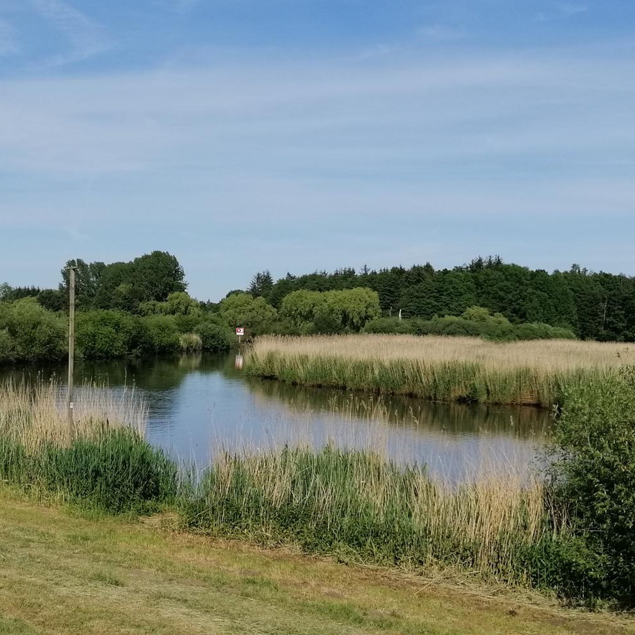
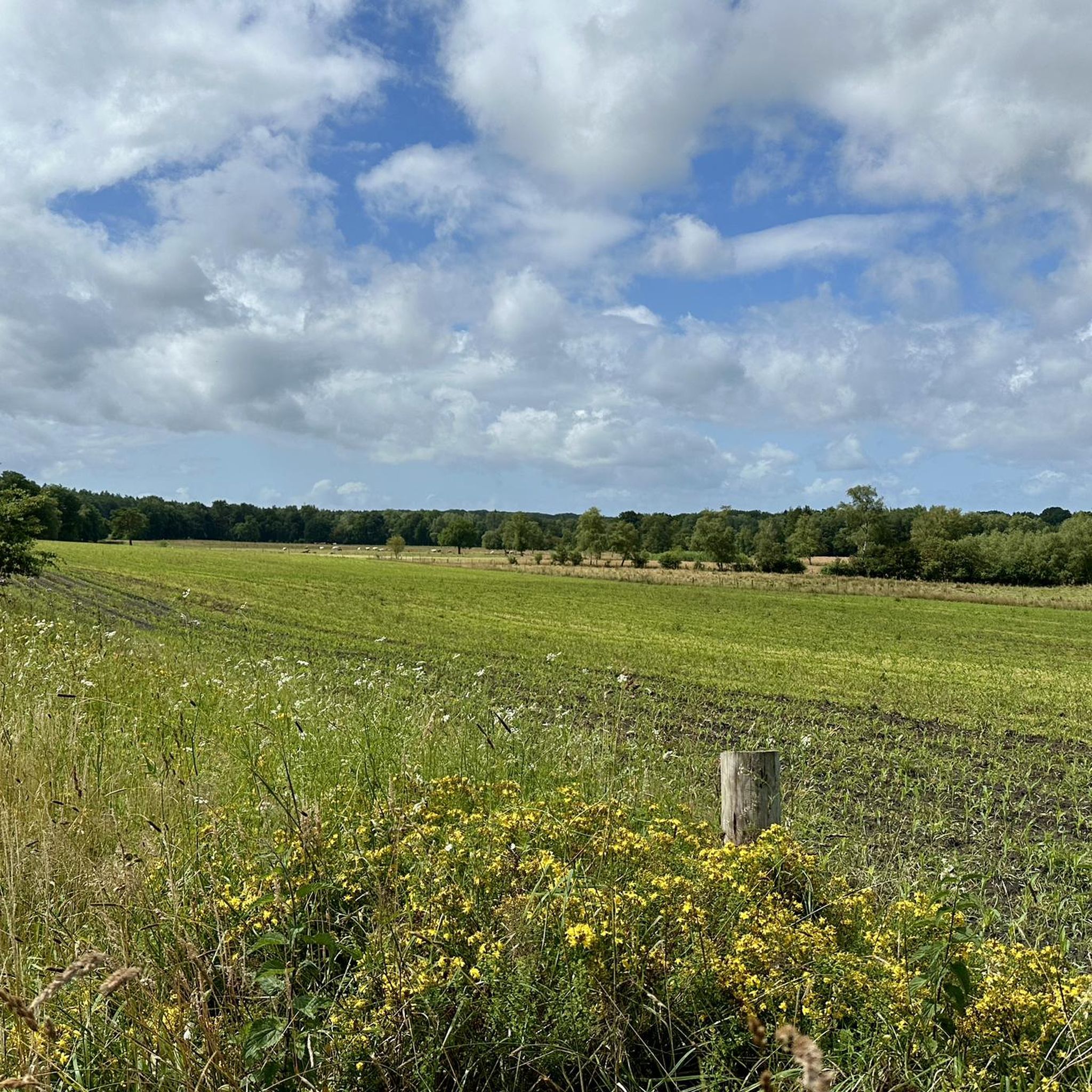
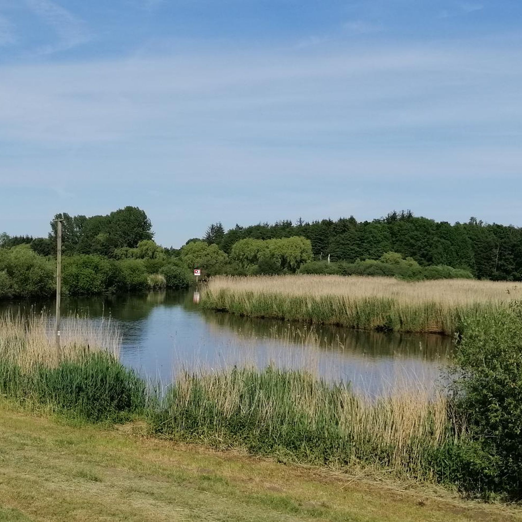
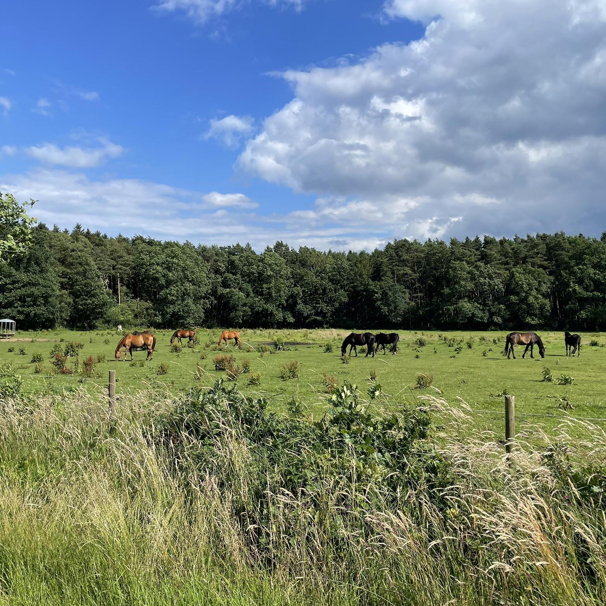
Tips from the Community

Single trail from Kutenholz to Mulsum along the Heerloge. On the route, you pass the historic Mulsum - Essel train station if you turn into Industriestraße.
4
0
The Gräpel punt ferry is a historic, hand-operated chain punt ferry that connects the village of Gräpel (municipality of Estorf) with the western bank. It is located not far from Stade and is a popular, enchanting excursion destination for cyclists and hikers as well as for walkers. The operating times and prices for the season: From May 1st to October 15th. Daily ferry times: From 10:00 AM to 7:00 PM (outside these times by arrangement or by ringing the bell) on the bank. Price: A symbolic amount of €1.00 per person (including bicycle). Important notes for the crossing: Manual operation: The ferry has no engine and is pulled across the river on a submerged chain using muscle power. Assistance: It is customary for passengers to help pull; work gloves are provided on site. Capacity: Up to 20 to 30 people with bicycles can fit. Refreshments: The Gasthof Plate's Osteblick is located directly at the ferry landing stage.
0
0
The Prahmfähre Gräpel is a historic, hand-operated chain ferry that connects the village of Gräpel (Estorf municipality) with the western bank. It is located not far from Stade and is a popular, enchanting excursion destination for cyclists and hikers, as well as for strollers. The operating times and prices of the season: From May 1st to October 15th. Daily ferry times: From 10:00 AM to 7:00 PM (outside these times by arrangement or by ringing the bell) on the bank. Price: A symbolic amount of €1.00 per person (including bicycle). Important notes for the crossing: Manual operation: The ferry has no engine and is pulled across the river on a ground chain using muscle power. Assistance: It is customary for passengers to help with pulling; work gloves are provided on site. Capacity: Up to 20 to 30 people with their bicycles can fit. Refreshments: The restaurant Plate's Osteblick is located directly at the ferry landing.
0
0
Bicycle route from Kutenholz to Fredenbeck / Wedel.
6
0
It's always beautiful to walk here 🤗. Whether as a hiker, walker, or cyclist, it's wonderful here. Taking a seat on an offered bench is absolutely recommended. And just look at the water and relax.
1
0
The Ostehafen Bremervörde originated before the Thirty Years' War in Bremervörde at the endpoint of the navigable Oste. Here, a ford and later a bridge of the Vörder Burg blocked the further passage of ships. Bremervörde in the topography of Matthäus Merian, before 1653 The large moorland depression in the Elbe-Weser triangle could be crossed here on a geest ridge, which as a ford enabled the crossing of the Oste. Around the 8th century, the settlement named Vörde was established. Later, the moated castle was built here. This castle complex with the small Vörder harbor was depicted in 1653 in the image by Matthaeus Merian. It was the Oste ford that was used by long-distance trade routes and for a long time by the cattle drive for the route from Denmark to Bremen and the Netherlands. The Oste, the ford, and the harbor shaped the settlement, which received town privileges in 1852.
1
0
Beautiful nature and great cycling and hiking trails lead along here amidst beautiful nature 💚 highly recommended and interesting at the same time 👍🏼.
1
0
Frequently Asked Questions
How many touring cycling routes are available around Kutenholz?
There are nearly 80 touring cycling routes available around Kutenholz, catering to various preferences. The komoot community has explored these routes over 700 times, with an average rating of 4.6 stars.
What is the best time of year for touring cycling in Kutenholz?
July and August are the most popular months for cycling in the Kutenholz area. However, spring offers a stunning 'sea of white and pink blossoms' in the Altes Land orchards, while autumn provides a 'true fruit basket' experience, making both seasons excellent choices for scenic rides.
Are there any easy touring cycling routes suitable for beginners or families?
Yes, Kutenholz offers many easy routes. For instance, the Tinster Holz Shelter – Mulsum Fieldstone Church loop from Kutenholz is an easy 30 km path guiding cyclists through local woodlands and past historical sites. Another easy option is the Dinghorn Pond and Wildflowers – Alter Martin 1900 Memorial loop from Kutenholz, which is 21.5 km long.
What kind of terrain can I expect on the cycling routes around Kutenholz?
The terrain around Kutenholz is predominantly flat to gently hilly, characteristic of the wider Stade district. Routes often feature a mix of quiet roads, tracks, and asphalt surfaces, making for a comfortable cycling experience through diverse landscapes.
Are there any circular touring cycling routes in the area?
Yes, many routes around Kutenholz are designed as loops. Examples include the moderate Prahmfähre Gräpel – Gräpel Oste Ferry loop from Mulsum, which is 41.4 km and includes a ferry crossing, and the Malstedt Watermill – Fehrenbruch Stone Cist loop from Kutenholz, a 32.3 km route through varied landscapes.
What natural features or landmarks can I see along the touring cycling routes?
The routes often pass through diverse natural and cultural landscapes. You can explore the wide river valley of the Schwingetal with its wetlands and forests, or visit the secluded Hohes Moor Nature Reserve. The In the Schwingetal – Barger Heide Nature Reserve loop from Mulsum is a great route to experience these areas. You might also encounter the Gräpel Oste Ferry or the Vörder Lake.
Are there any routes that feature water bodies or river views?
Absolutely. Many routes offer views of the Oste River, such as the Prahmfähre Gräpel – Gräpel Oste Ferry loop from Mulsum, which also includes a unique ferry crossing. The region is also close to the Elbe River, and some routes provide glimpses of its expansive waters. Additionally, you can find routes near Vörder Lake and Lake Oldendorf.
Can I expect to see any historical sites or cultural points of interest?
Yes, the routes often lead past historical sites. For example, the Tinster Holz Shelter – Mulsum Fieldstone Church loop from Kutenholz passes by local historical churches. The Malstedt Watermill – Fehrenbruch Stone Cist loop from Kutenholz takes you past an ancient watermill and stone cists, offering a glimpse into the region's past.
What are the longer touring cycling options available from Kutenholz?
While many routes are shorter, Kutenholz is part of a broader network. You can find longer excursions like a 95.8 km route to Tostedt or a 110.4 km route to Horst. The Stade district itself boasts approximately 1,000 kilometers of signposted cycle paths, including sections of the North Sea Coast Cycle Route (D-Route 1), offering extensive long-distance cycling opportunities.
What is the average difficulty of touring cycling routes around Kutenholz?
The majority of touring cycling routes around Kutenholz are classified as easy or moderate. Out of nearly 80 routes, 54 are easy, 21 are moderate, and only 4 are considered difficult, making the area very accessible for most cyclists.
Are there specific routes known for their scenic beauty, especially during certain seasons?
The region is particularly known for the Altes Land, a vast fruit orchard area. While not a single route, cycling through this area is exceptionally scenic during spring blossom (a 'sea of white and pink blossoms') and autumn harvest (a 'true fruit basket'). Many local routes will traverse parts of this beautiful landscape.
Most popular routes around Kutenholz
Most popular attractions around Kutenholz

Get inspired with the komoot mobile app


Explore more
Browse the best Cycling routes in other regions.
