The best road cycling routes around Kürnbach
4.5
(294)
3,976
riders
131
rides
Road cycling routes around Kürnbach traverse a landscape characterized by rolling hills, agricultural plains, and river valleys. The region features varied terrain, including routes that pass by historical castles and natural lakes. Elevation changes are common, providing opportunities for both moderate and challenging climbs.
Best road cycling routes around Kürnbach
- The most popular road cycling route is Ehmetsklinge Lake – Kirbachtal Valley Road loop from Sulzfeld (Baden), a 33.9 miles (54.6 km) trail that takes 2 hours 40 minutes…
Last updated: July 5, 2026
4.7
(3)
90
riders
112km
05:08
1,220m
1,220m
Hard road ride. Very good fitness required. Mostly well-paved surfaces and easy to ride.
4.5
(2)
47
riders
Moderate road ride. Good fitness required. Mostly well-paved surfaces and easy to ride.

Sign up for free
4.0
(1)
49
riders
61.3km
02:42
450m
450m
Moderate road ride. Good fitness required. Mostly well-paved surfaces and easy to ride.
5.0
(2)
46
riders
39.4km
01:39
200m
200m
Moderate road ride. Great for any fitness level. Some segments of this route may be unpaved and difficult to ride.
4.3
(11)
40
riders
52.7km
02:42
900m
900m
Moderate road ride. Good fitness required. Mostly well-paved surfaces and easy to ride.
Get access to more routes and recommendations from other explorers.
Sign up for free
Already have an account?
Our route recommendations are based on thousands of hikes, rides, and runs completed by other people on komoot.
Start today with a free account
Your next adventure awaits.
Login or Signup
Popular around Kürnbach
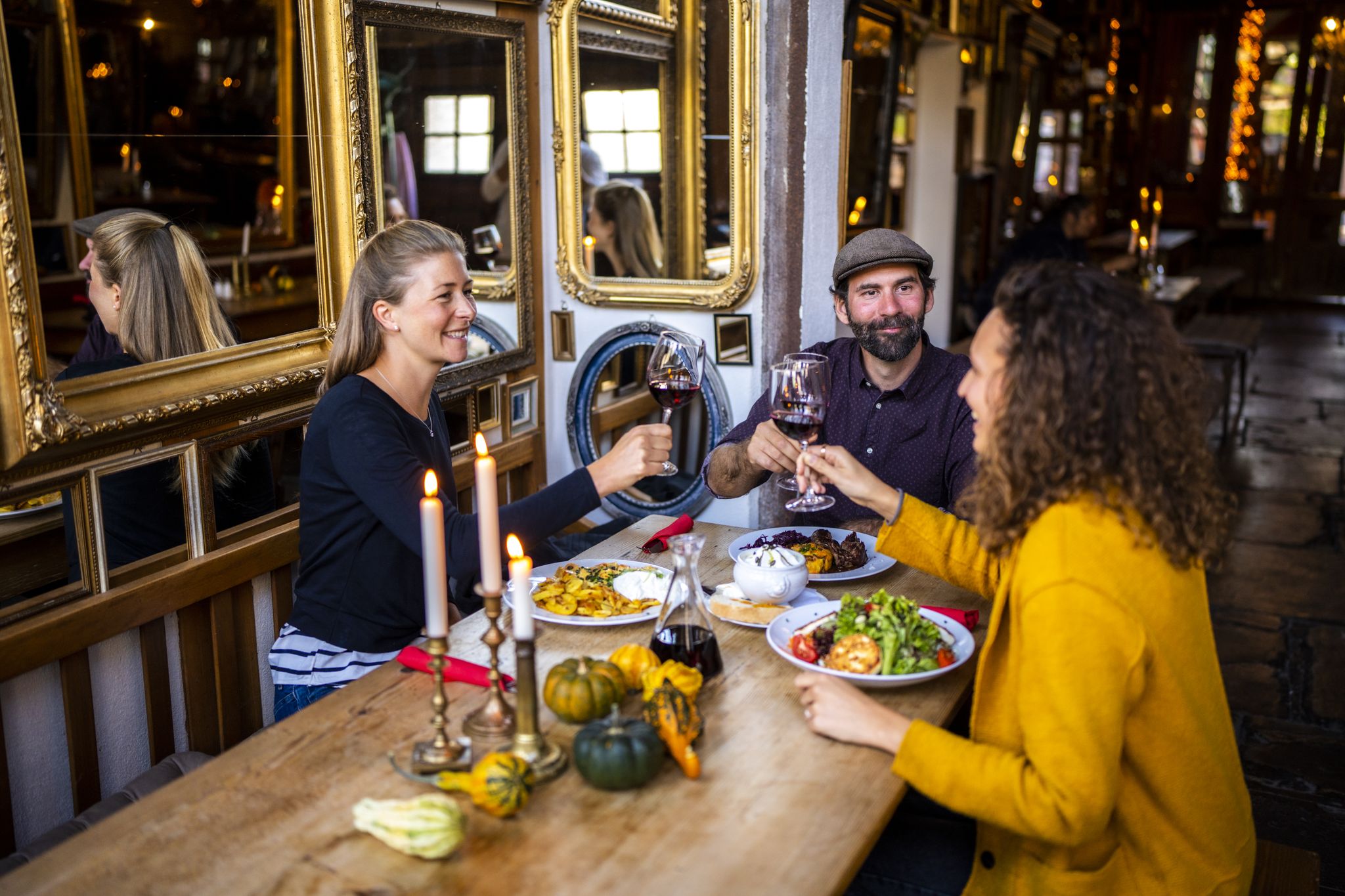
Hikes to seasonal taverns along the Baden Wine Route in Germany
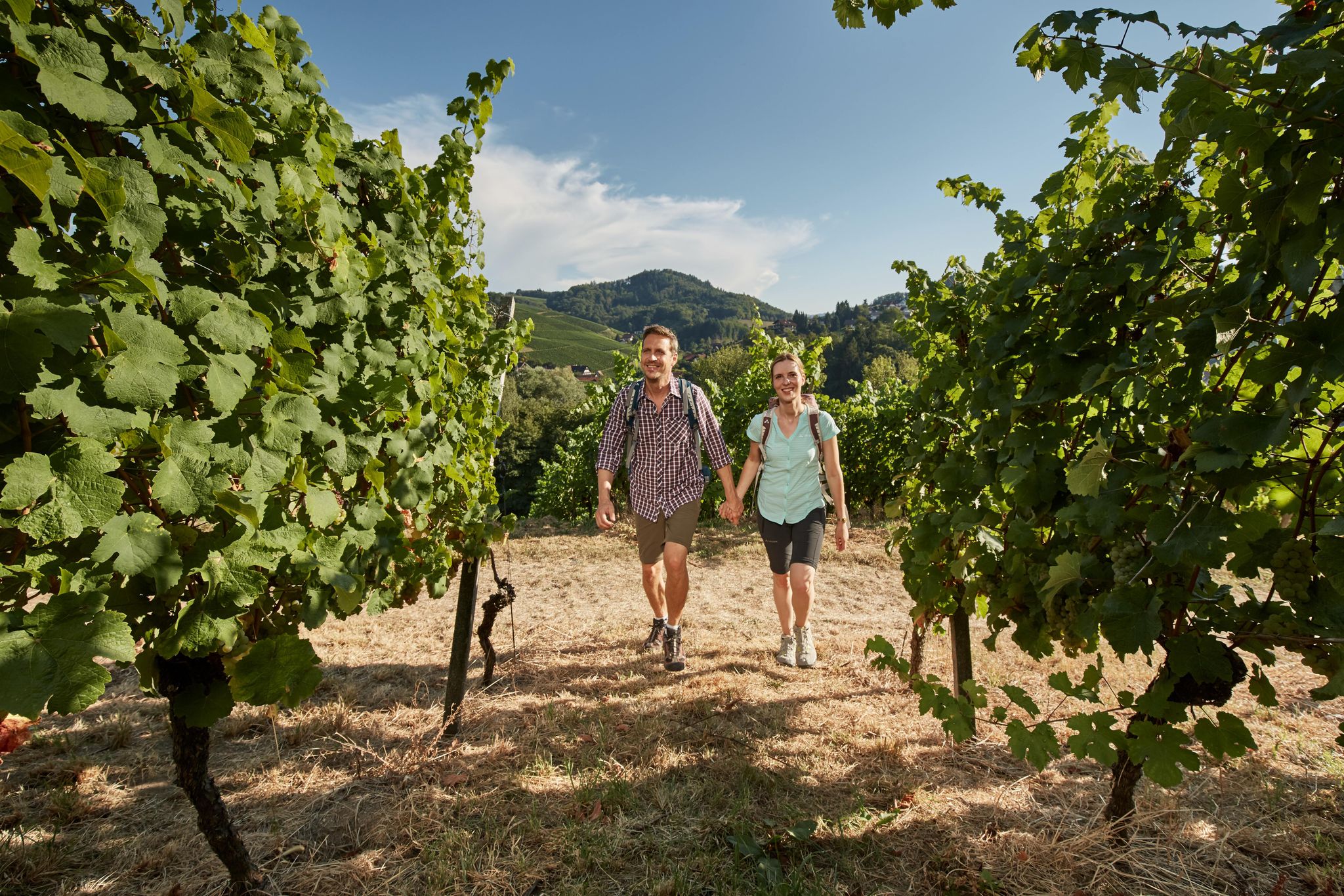
Foodie walks in southern Germany — hiking in Baden-Württemberg
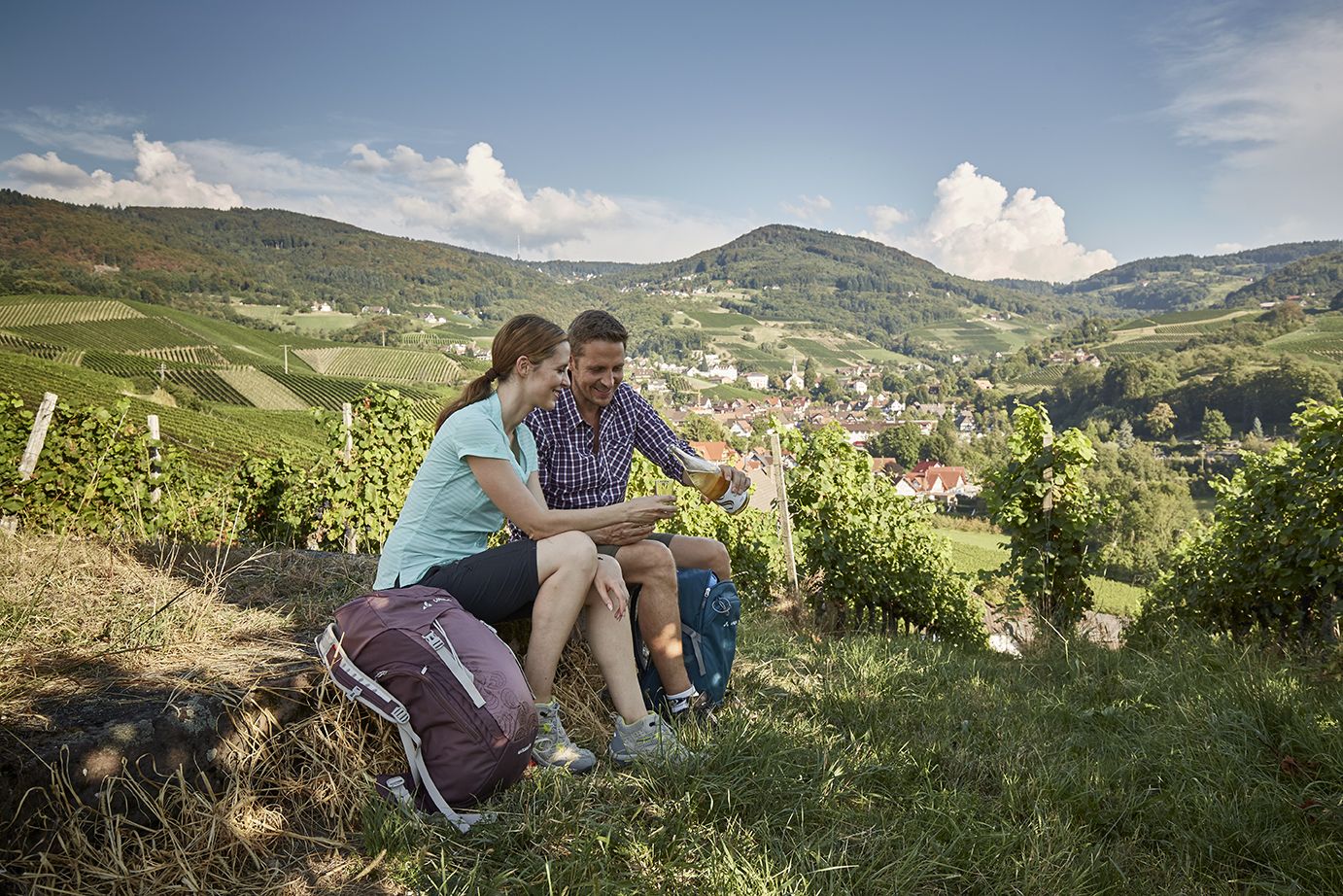
Getting a taste for wine — wine hikes in Germany’s Baden region

Spring in the land of 1,000 hills – Kraichgau-Stromberg in Germany
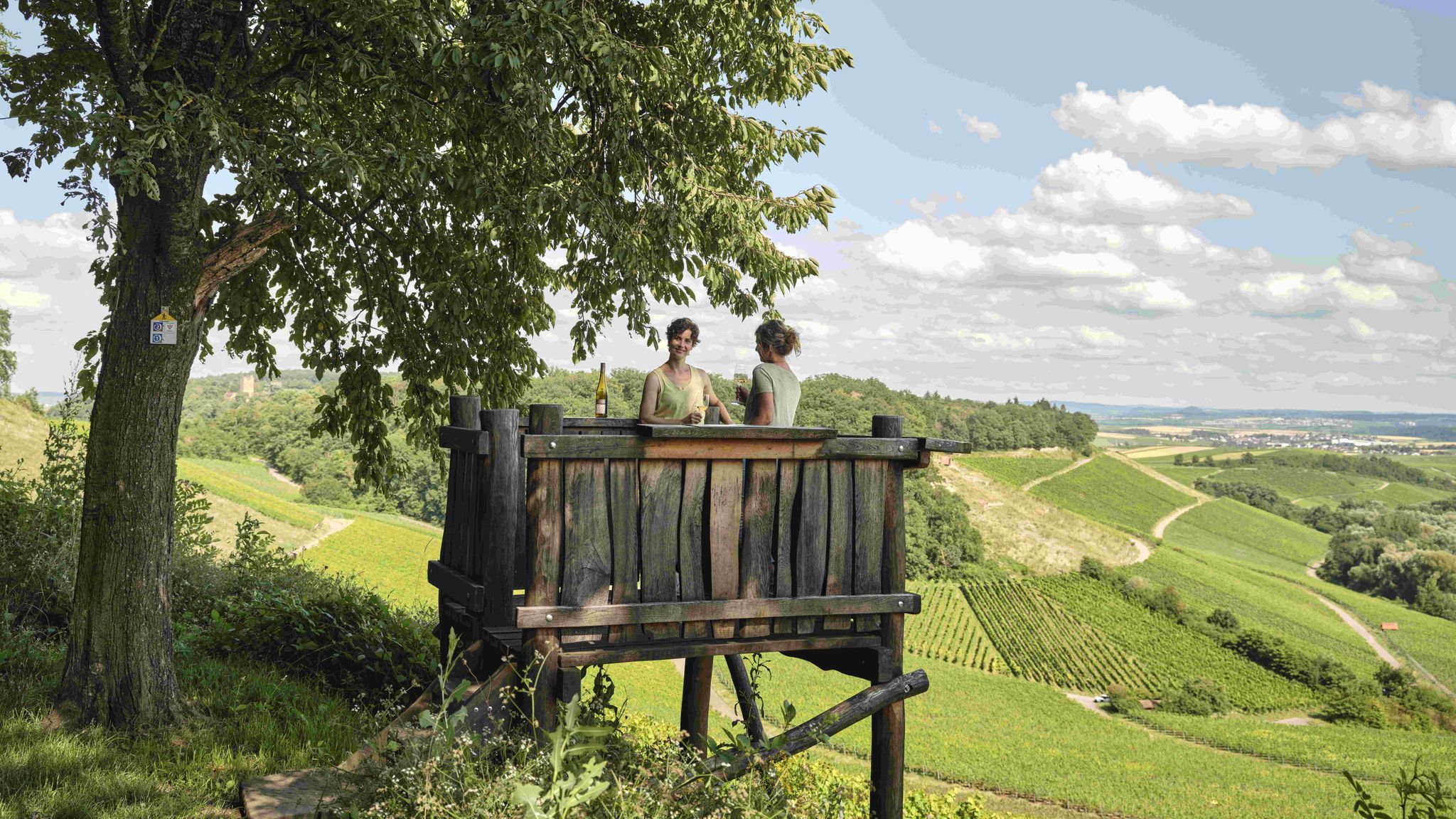
Genusswandern: Auf Wein(wander)wegen durch das Land der 1000 Hügel

Wander3Klänge: Einfach Los Wandern im Naturpark Stromberg-Heuchelberg

Zu Fuß durchs Land der 1000 Hügel
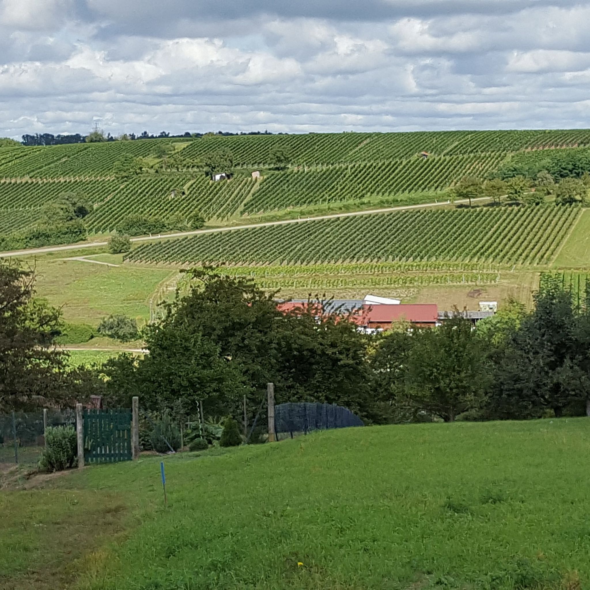
Hiking around Kürnbach
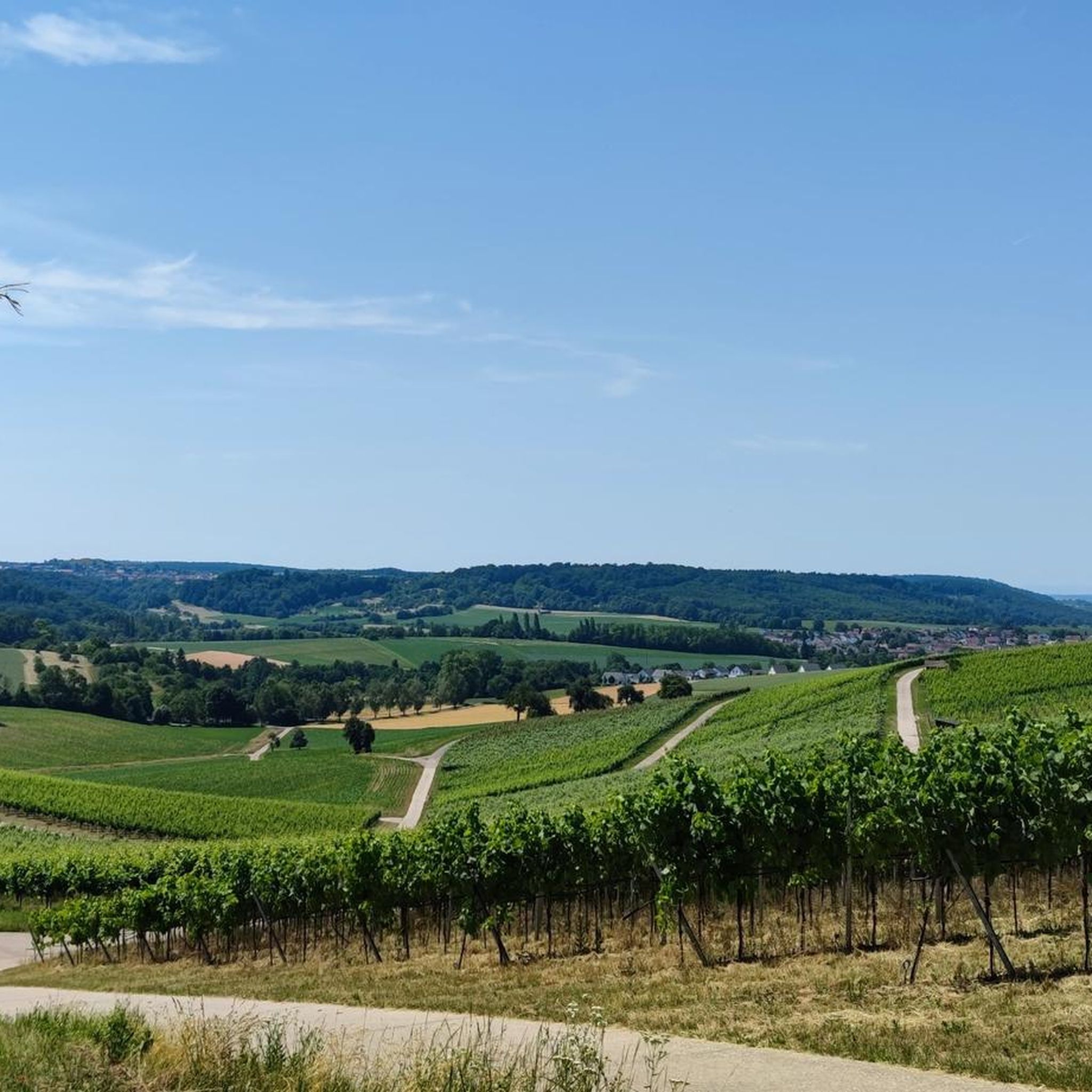
MTB Trails around Kürnbach
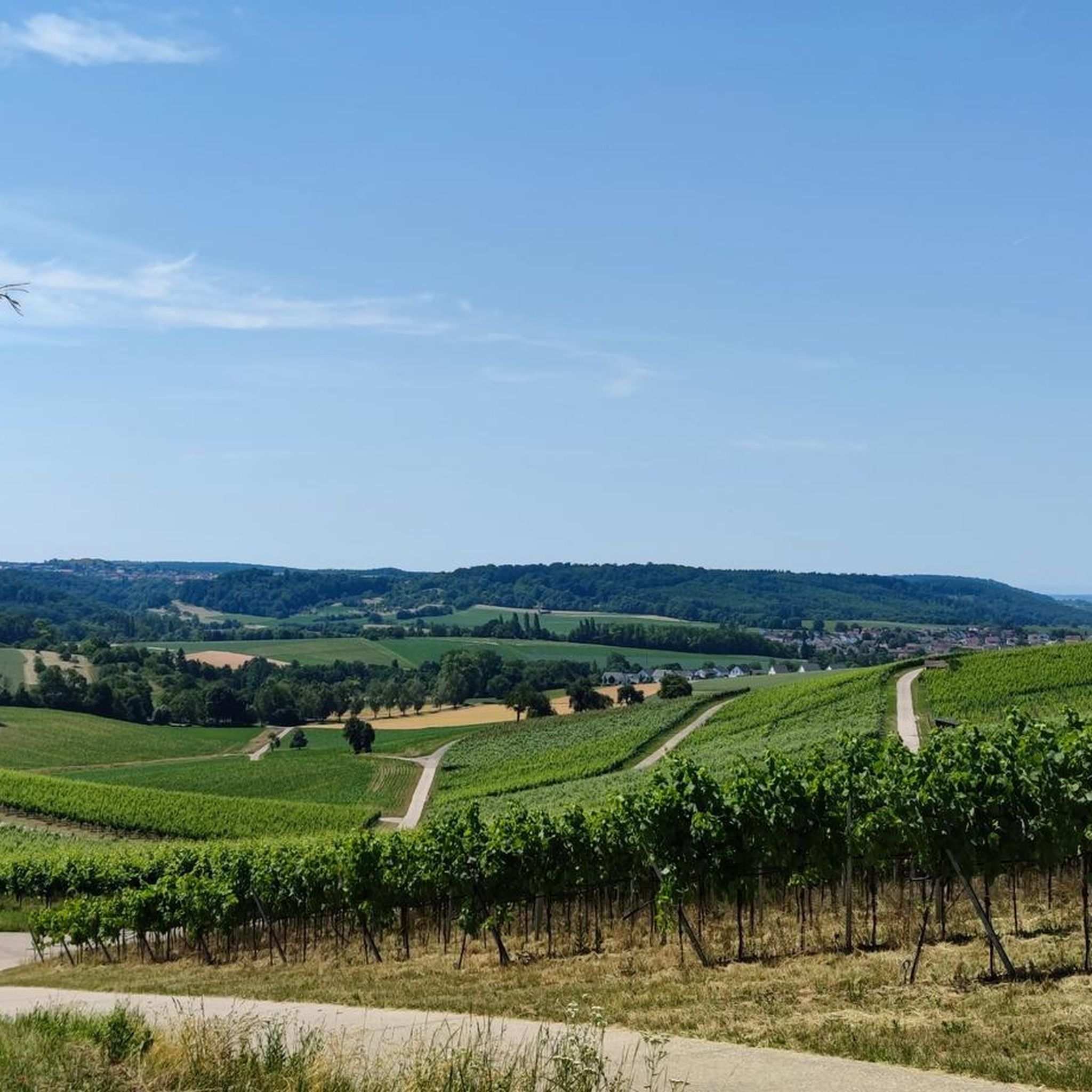
Cycling around Kürnbach
Other adventures around Kürnbach


Tips from the Community

A look at Guttenberg Castle is worthwhile
0
0

Located right next to the castle. The town prison used to be here; now it's a museum. The B3 highway runs through the gate here.
5
0

A very beautiful section on a good bike path. A visit to Gundelsheim is also worthwhile. It's also not as crowded as some other towns along the Neckar.
3
0
The well-preserved castle is an essential part of the historic old town, perched on a hill. And we felt the same way as @Scout Jens: the view from below of the castle and old town had a certain promise and was the most beautiful view.
6
0


The castle was built at the beginning of the 13th century by the Lords of Sternenfels as their ancestral seat and was first mentioned in 1232. After the castle passed to the Lords of Liebenstein, it was pledged to Württemberg in 1320. Before the castle was demolished in 1778 and dismantled by 1780, it served as the seat of a forester and as a prison for poachers in the 17th century. The castle, of which only the rampart and moat remain today, was built from white Stubensandstein. A first observation tower was built in 1866, which became dilapidated and had to be blown up in 1966. A year later, in 1967, a 14-meter-high water tower with an observation platform in the style of a keep was built on the Schlossberg. The tower houses an exhibition on the history of the Lords of Sternenfels and the geology of Stromberg and Heuchelberg. Source Wikipedia
0
0

Beautiful, quiet, relatively flat climb with little elevation gain. From Sternenfels it is steeper and shorter, but with a long descent towards Häfnerhaslach. Very good road surface.
0
0

The impressive and large Chartaque watchtower is located near the hiking parking lot. It's well worth climbing the steps to enjoy the view from the top. It's a fantastic project, built here by students between 1981 and 1983.
11
0
Frequently Asked Questions
How many road cycling routes are there in Kürnbach?
Kürnbach offers a wide selection of road cycling routes, with over 130 tours available. These routes cater to various skill levels, including easy, moderate, and difficult options.
What are the difficulty levels of road cycling routes around Kürnbach?
The road cycling routes in Kürnbach feature varied terrain, from rolling hills to more challenging climbs. You'll find options for all abilities, including 35 easy routes, 87 moderate routes, and 8 difficult routes, ensuring there's something for every cyclist.
What is the typical length of road cycling routes in Kürnbach?
Route lengths vary significantly. For example, the Ehmetsklinge Lake – Kirbachtal Valley Road loop from Sulzfeld (Baden) is about 33.9 miles (54.6 km), while the more challenging View of Burg Steinsberg – Bad Wimpfen Town Church loop from Sulzfeld (Baden) extends to 69.6 miles (112.0 km).
Are there many circular road cycling routes available?
Yes, many of the road cycling routes around Kürnbach are designed as loops, offering convenient starting and ending points. Examples include the Gochsheim Castle – Gochsheim Castle loop from Oberderdingen and the Ehmetsklinge Lake – Ehmetsklinge Reservoir loop from Sulzfeld (Baden).
What historical sites or natural attractions can I see while road cycling?
The routes often pass by significant landmarks and natural beauty. You might cycle past the impressive Maulbronn Monastery (UNESCO World Heritage Site), or enjoy views of lakes like the Ehmetsklinge Reservoir, West shore of Aalkistensee, and Katzenbachsee.
When is the best time of year for road cycling in Kürnbach?
The region is generally pleasant for road cycling from spring through autumn. Spring offers blooming landscapes, while summer provides warm weather for longer rides. Autumn brings beautiful foliage, though it's always wise to check local weather forecasts before heading out.
Are there places to stop for refreshments along the road cycling routes?
Given the region's agricultural plains and towns, many routes will pass through villages or near small towns where you can find cafes, bakeries, or restaurants for refreshments. Planning your route with komoot allows you to identify potential stops beforehand.
What do other road cyclists say about the routes in Kürnbach?
The road cycling routes in Kürnbach are highly rated by the komoot community, with an average score of 4.5 stars from over 260 reviews. Cyclists often praise the varied terrain, the scenic views of historical sites and natural lakes, and the well-maintained roads.
Is parking available for road cyclists near the routes in Kürnbach?
Many starting points for road cycling routes in and around Kürnbach, especially those originating from larger towns like Sulzfeld (Baden) or Oberderdingen, offer designated parking areas. It's advisable to check specific route details on komoot for parking information at your chosen starting point.
Can I reach the road cycling routes in Kürnbach by public transport?
While Kürnbach itself is a smaller community, surrounding towns that serve as popular starting points for routes may be accessible by regional public transport. For detailed information on public transport connections to specific route starting points, it's best to consult local transport schedules.
Are there any less-known or 'hidden gem' road cycling routes in the area?
While the guide highlights popular routes, the region has over 130 tours, many of which offer quieter, less-trafficked roads. Exploring routes that venture slightly off the main paths can reveal charming villages and serene landscapes, often with fewer cyclists. Using komoot's route planner can help you discover these hidden gems.
Most popular attractions around Kürnbach

Get inspired with the komoot mobile app


Explore more
Browse the best Road cycling routes in other regions.
