Top 7 Caves around Comarca de la Costa Granadina
Caves around Comarca de la Costa Granadina offer a glimpse into the region's natural geology and ancient history. This area, also known as the Costa Tropical, features a diverse landscape with subterranean formations. The caves provide insights into prehistoric communities and geological processes. Many sites are located within ravines or hillsides, showcasing the natural caves Comarca de la Costa Granadina has to offer.
Best caves around Comarca de la Costa Granadina
- The most popular caves is Captain's Cave Tunnel,…
Last updated: July 10, 2026
Cerro del Toro Mines
Highlight • Historical Site
Translated by Google •
Tip by

Captain's Cave Tunnel
Highlight • Cave
Translated by Google •
Tip by
Sign up now to discover places like this
Get recommendations on the best single tracks, peaks, & plenty of other exciting outdoor places.
Sign up for free
Pico del Águila
Highlight • Summit
Translated by Google •
Tip by
Olías Caves
Highlight • Cave
Translated by Google •
Tip by
Cueva de Funes
Highlight • Cave
Translated by Google •
Tip by
Cave of the Doves
Highlight • Cave
Translated by Google •
Tip by
Barranco de las Angosturas
Highlight • Gorge
Translated by Google •
Tip by
Melero Cave
Highlight • Cave
Translated by Google •
Tip by
Lagos Caves
Highlight • Cave
Translated by Google •
Tip by
Viewpoint of Los Caracolillos de Vélez
Highlight • Viewpoint
Translated by Google •
Tip by
Start today with a free account
Your next adventure awaits.
Login or Signup
Popular around Comarca de la Costa Granadina

Triathlon 360 – my journey around the world

La Vuelta 26 — All Official Stages
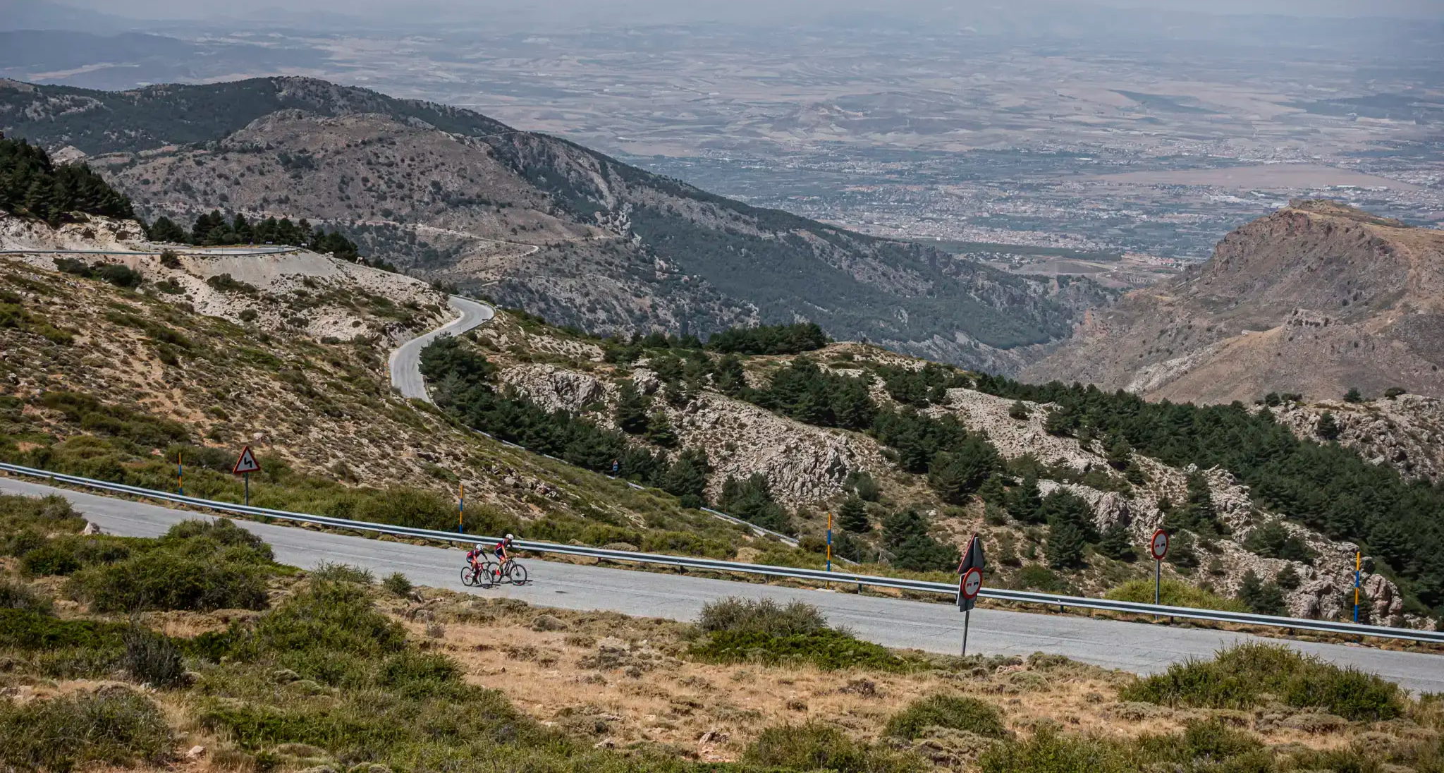
The challenge of the south - Routes through Sierra Nevada
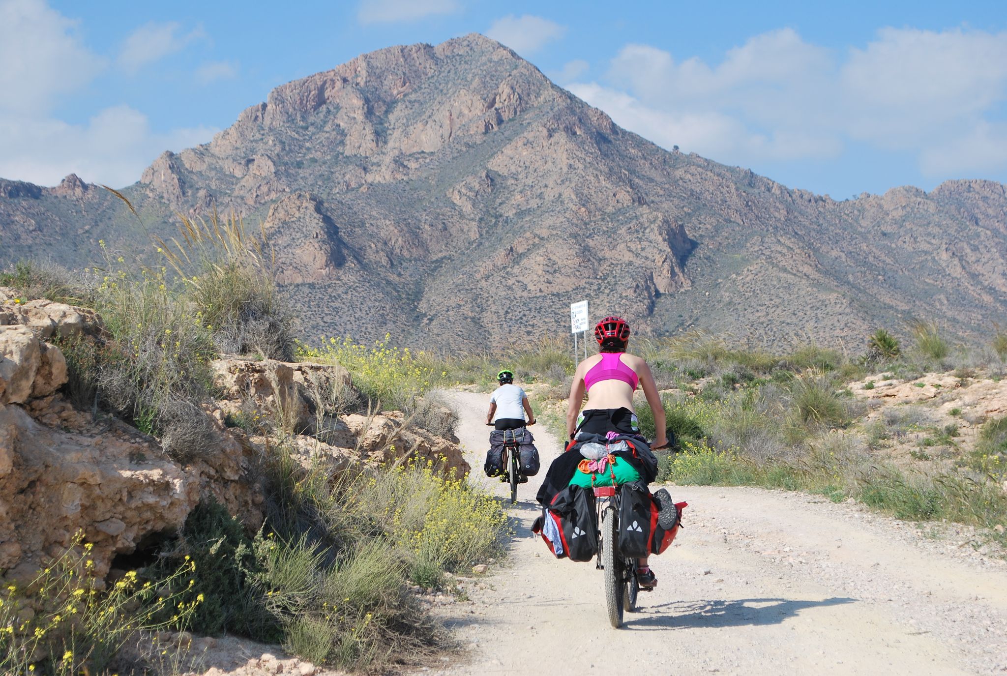
Mediterranean coastal paradise – EuroVelo 8 in Spain
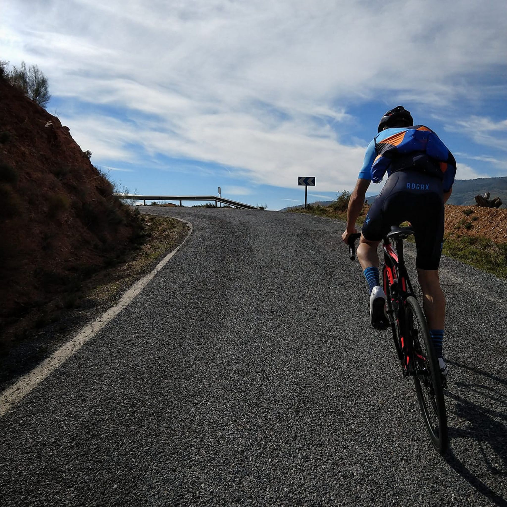
Road Cycling Routes around Comarca de la Costa Granadina
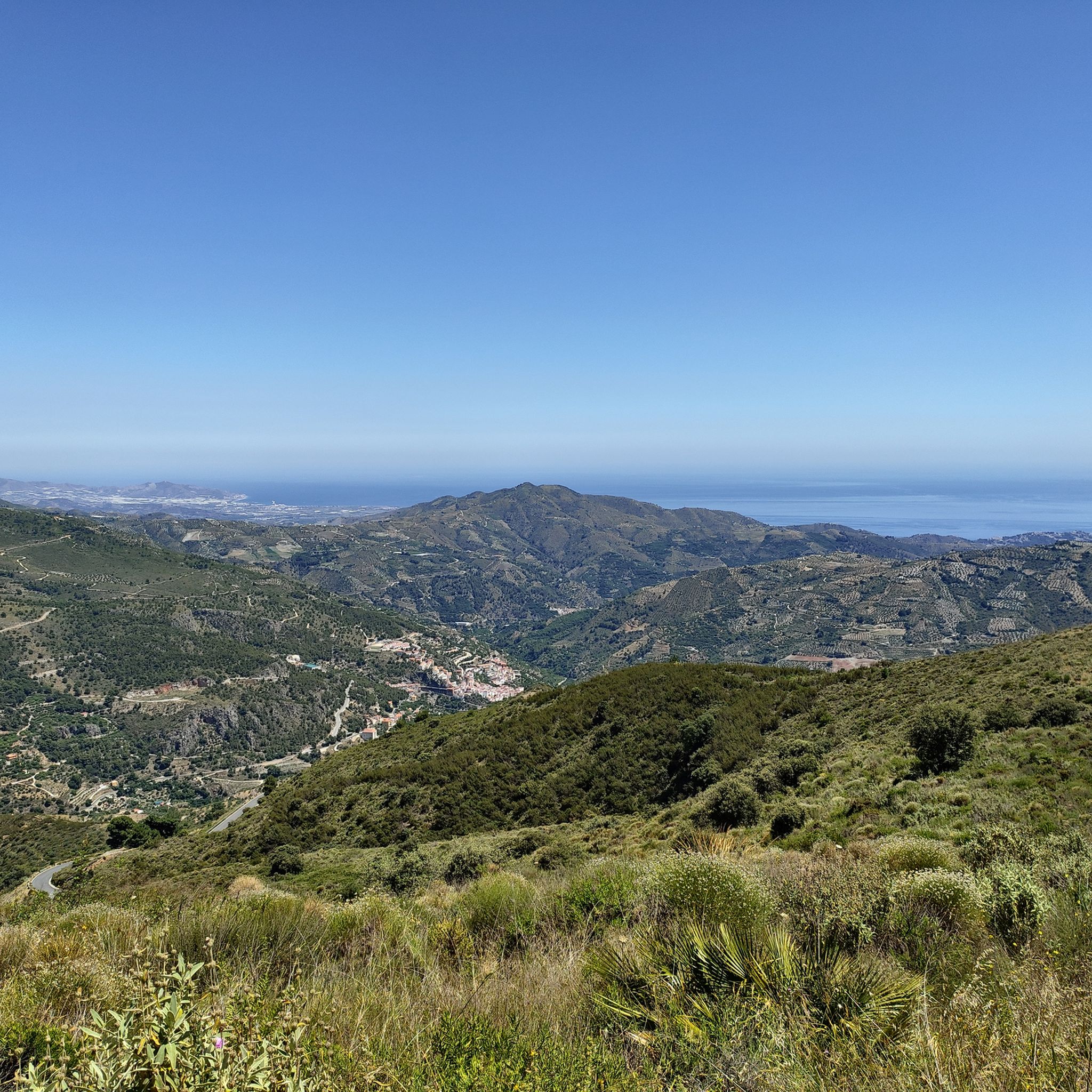
Hiking around Comarca de la Costa Granadina
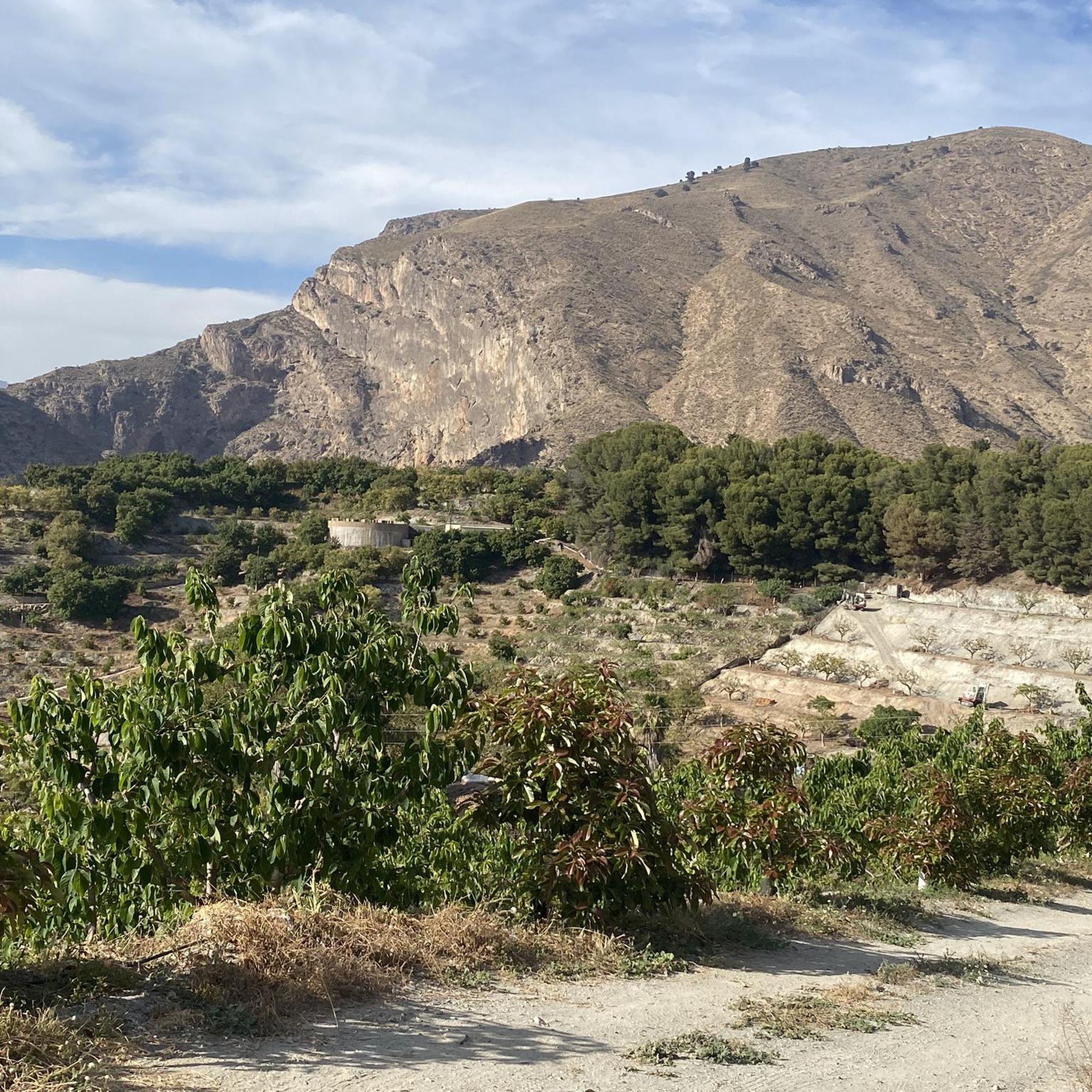
Cycling around Comarca de la Costa Granadina
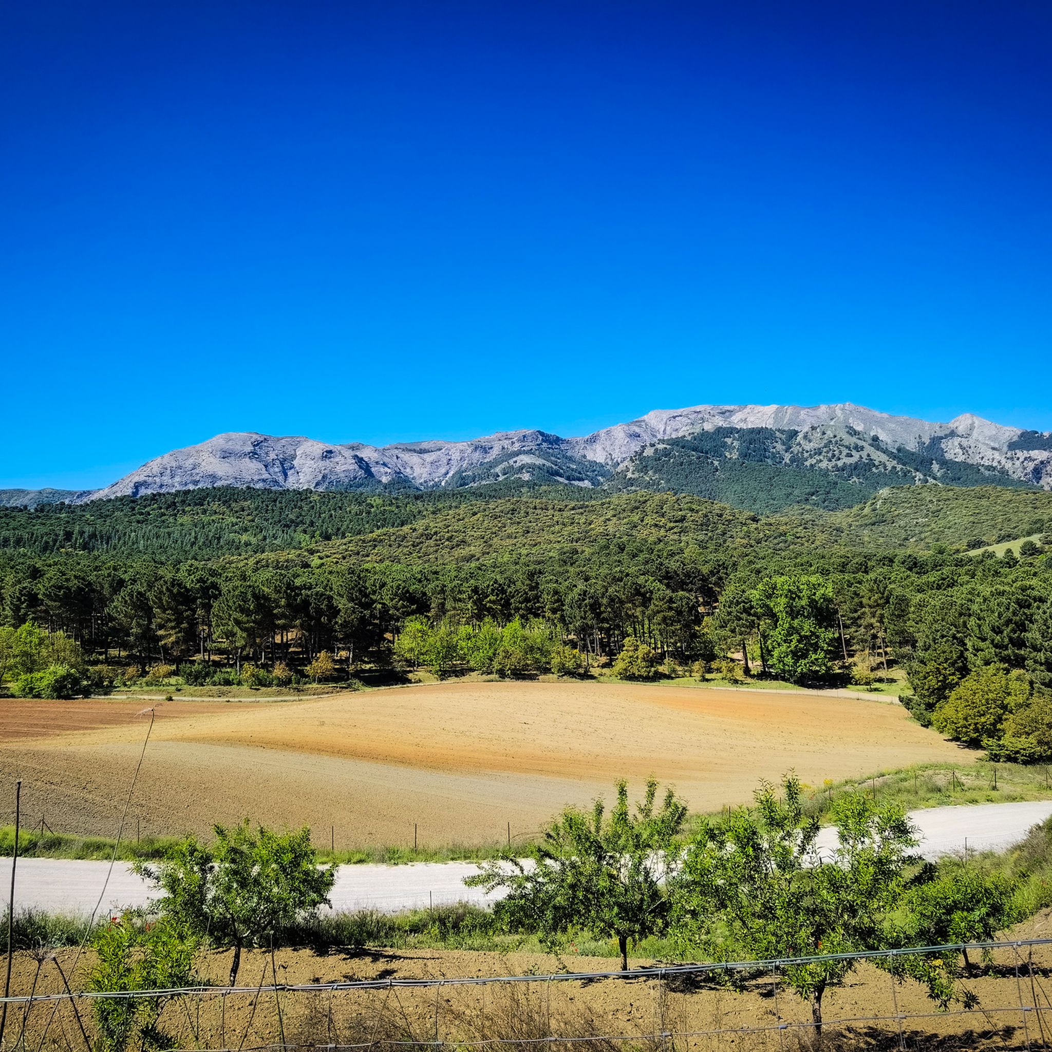
Running Trails around Comarca de la Costa Granadina
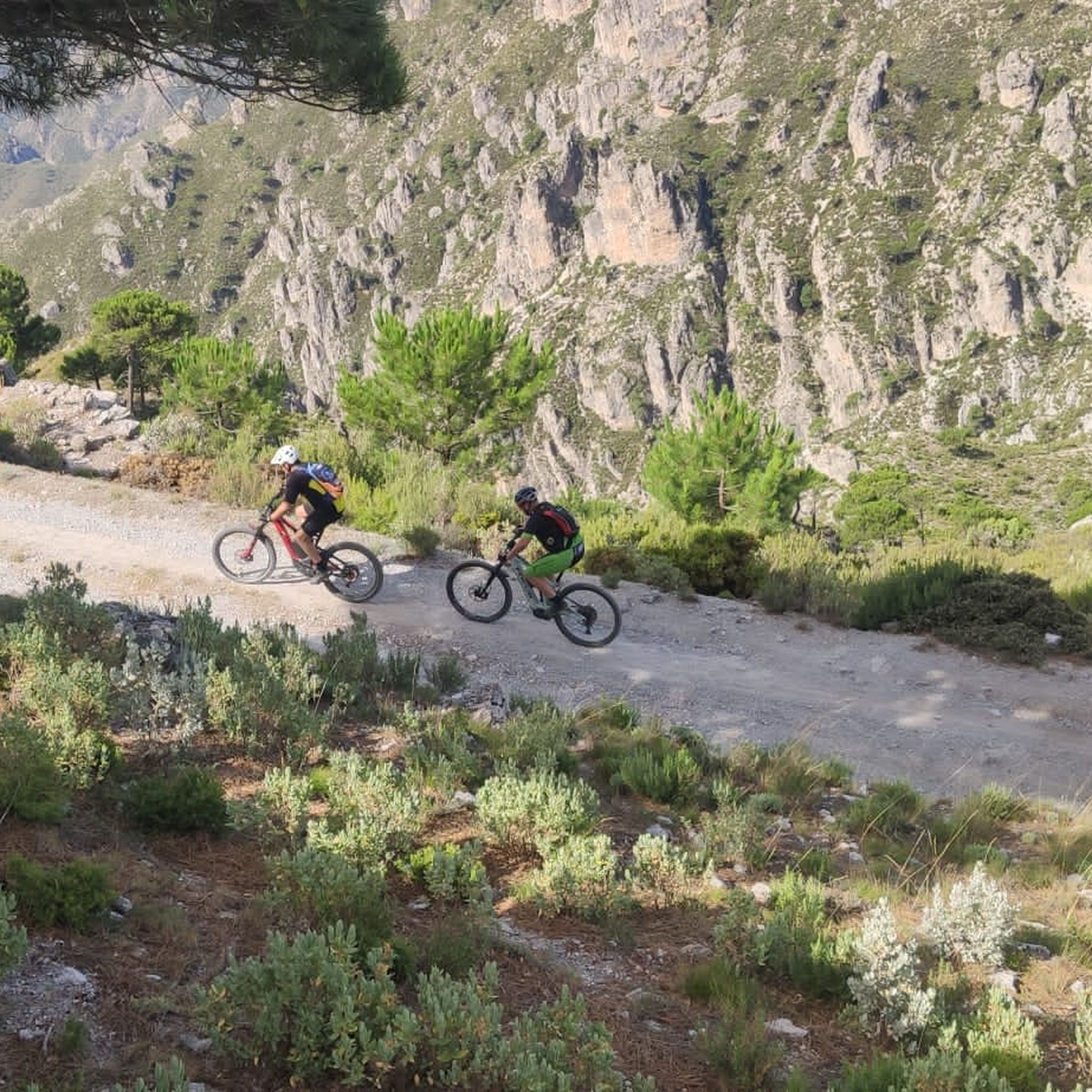
MTB Trails around Comarca de la Costa Granadina

Gravel biking around Comarca de la Costa Granadina
Other adventures around Comarca de la Costa Granadina


Tips from the Community


This cave is to the southwest of the Sierra de Lujar, just going down from the llama de los pozos or going up from La Fábrica Rey, passing through the Cueva de las Palomas. Warning, once we go up from the Cueva de las Palomas we enter a private estate. Although the pass is not closed, it must be taken into account once we pass the private farm sign there is a very steep area and after two km we are in the Melero cave.
0
0
Rockroses, male rosemary, torvizco shrubs, junipers, small olive trees, wild olive trees, thyme, broom, espartal grass and many other species typical of a coastal ecosystem, which receives a high level of humidity, with real surprises among its most characteristic species. This is the case of Teucrium rixanense, whose name refers to the Rijana and is considered an endemic species of this small territory, where it is also possible to find Mediterranean orchids, some of them very rare.
1
0
Going up to the Águila peak is one of the most attractive and easy routes that can be done on the eastern coast of Granada, since it combines landscape, with impressive views of both the marine strip and the interior, with the Lújar and Contraviesa mountains, and They show a sequence of ecosystems that are part of the purest thermo-Mediterranean and Mesomediterranean bioclimatic floor in the highest areas. From the road between Gualchos and El Conjuro, a little more than two kilometers away, there is a lane that connects directly with the trails to the highest peak on the Granada coast. Only 1.5 kilometers that show slopes cultivated with almond trees and areas of esparto trees where the original ecosystem degraded by the passage of time and climate emerges. After the lane, the path continues towards an old disused shooting range, a point where the calar begins, an ecosystem of limestone rocks and marble that becomes karstic towards the highest point of the Águila summit.
1
0
The osprey was habitual on the cliffs located between Calahonda and Castell de Ferro and its flights over the sea and the summits of the surrounding hills gave its name to the highest of the watchtowers that dominate the coast, the Pico del Águila, located on the town of Gualchos, a hill that rises between two ravines that flow into Rijana and Rijanilla, two anchorages used since the dawn of navigation and especially by the Romans and the first Umayyads to arrive on the Peninsula. The peak is the great vantage point from which you can see the entire eastern coastline of Granada and the rocky cliffs and cliffs that plunge down to the Calahonda and Carchuna delta, a karstic area, a cove of rocks sharpened by the wind, which They generate a peak on the ridged orography of the hill. settlers It is a territory in which the last Roman settlers of the coast of Granada sought refuge, forgotten by Rome at the time of the fall of the Empire.
1
0
In the Olias ravine are these caves formerly used as corrals.
1
0
These are some old mines called Cerro del Toro, these mines are closed, no minerals are extracted anymore, there were simply a few years when they were shown to the public and tourism, but the little movement of people ended up closing, these mines are inside It houses an underground lagoon besieging its precipitous passageways to the interior, if you ever consider visiting it, perhaps you can do it with a small qualified group prepared and requesting permission from the town hall, warning, do not venture inside alone, there are many dangers.
0
0
Frequently Asked Questions
What kind of historical insights do the caves in Comarca de la Costa Granadina offer?
The caves in Comarca de la Costa Granadina provide a rich glimpse into ancient history. Sites like the Captain's Cave Tunnel (Cueva del Capitán) in Lobres show evidence of Neolithic occupation, including pottery fragments and its use as a refuge or necropolis. The Cueva de los Murciélagos in Albuñol is particularly significant for its exceptionally preserved Mesolithic and Neolithic artifacts, offering insights into prehistoric daily life and spiritual practices.
Are there any caves in the region known for unique geological formations?
Yes, the Cueva de las Campanas in Gualchos is renowned for its impressive geological features. It boasts spectacular rock formations such as stalactites, 'banderolas' (flag-like formations), and small gours, making it a significant site for geology enthusiasts.
Can I find family-friendly caves to visit in Comarca de la Costa Granadina?
While specific 'family-friendly' categorizations are not always explicit, some caves like the Captain's Cave Tunnel are relatively compact and accessible, offering a sense of discovery without extreme difficulty. For more challenging experiences, some caves are better suited for experienced explorers.
What outdoor activities can I combine with a visit to the caves?
The region offers various outdoor activities. You can find numerous running trails, such as the 'Almuñécar Seafront Promenade' loops, or explore MTB trails like the 'Sierra de Jaral' or 'Cerro del Toro' routes. For gravel biking, options like the 'Cádiar – Las Chorreras Waterfall' loop are available. You can find more details on these activities in the Running Trails, MTB Trails, and Gravel Biking guides for Comarca de la Costa Granadina.
Which caves are significant for their prehistoric archaeological findings?
The Cueva de los Murciélagos in Albuñol is considered one of the most important prehistoric sites in Southern Europe. It contains exceptionally preserved organic materials, including woven esparto baskets and sandals, dating back over 9,000 years. The Captain's Cave Tunnel also holds Neolithic remains.
What should I know about visiting the Cueva del Capitán?
The Cueva del Capitán, also known as Captain's Cave Tunnel, is located on a hillside in Lobres. It's an intimate historical site with Neolithic remains, relatively compact at about 21 meters deep. The path to it winds through ancient irrigation channels, offering scenic views. It's not extensively signposted, adding to a sense of personal discovery.
Are there caves that were historically used for purposes other than habitation or burial?
Yes, the Olías Caves, situated in the Barranco de Olías, are notable for their historical use as corrals for cattle. This provides a connection to the agricultural practices of the region's past.
What are the general accessibility considerations for caves in the Comarca de la Costa Granadina?
Accessibility varies significantly between caves. Some, like the Cueva del Capitán, are relatively easy to access, while others, such as the Cueva de las Campanas, feature challenging labyrinthine passages and vertical drops, making them suitable for experienced speleologists. Information on wheelchair accessibility is limited, suggesting most natural caves may not be fully accessible.
What is the best time of year to explore caves in the Costa Granadina?
Caves generally maintain a more stable temperature year-round, making them a viable option in various seasons. However, for accessing caves that require hiking or are in ravines, spring and autumn offer milder weather, which is ideal for outdoor activities. Summer can be hot, while winter might bring more rain, potentially affecting trail conditions.
What should I wear or bring for a cave exploration trip in the region?
For cave exploration, it's advisable to wear sturdy, closed-toe shoes with good grip, as surfaces can be uneven and slippery. Layered clothing is recommended due to consistent cool temperatures inside caves. A headlamp or flashlight is essential, and for more challenging caves, specialized caving gear may be necessary. Always check specific requirements for each cave.
Are there any caves that offer panoramic views or are part of scenic routes?
While caves themselves are subterranean, the approaches to some offer scenic views. For instance, the path to the Cueva del Capitán provides views of the Guadalfeo Vega and the Peñón de Salobreña. Additionally, the Cave of the Doves is located in the Sierra de Lujar, an area known for its natural beauty.
How can I reach the caves using public transport, or is parking available?
Information on public transport directly to cave entrances is often limited for natural sites in rural areas. It is generally recommended to travel by car, and parking availability can vary. For specific caves, it's best to research local access points. For example, the Cueva del Capitán is located near Lobres, and the Olías Caves are in the Barranco de Olías, suggesting car access would be most practical.
What makes the Cueva de los Murciélagos particularly important?
The Cueva de los Murciélagos in Albuñol is exceptionally important due to the preservation of organic materials dating back over 9,000 years. It served as a funerary site with collective burials and symbolic grave goods, providing invaluable insights into the daily life, technology, and spiritual practices of prehistoric communities in Southern Europe. More information can be found on Wikipedia.
Most popular routes around Comarca de la Costa Granadina
Most popular attractions around Comarca de la Costa Granadina

Get inspired with the komoot mobile app


Didn’t find what you were looking for?
Discover more caves around Comarca de la Costa Granadina region by region:
Explore more
Extend your search for the best caves by checking out these guides of the top ones around Comarca de la Costa Granadina:
