The 8 Most Amazing Peaks around Seegräben
Best mountain peaks around Seegräben are characterized by a gently hilly landscape rather than prominent, high-altitude peaks. This municipality in the canton of Zurich, Switzerland, is situated on the western shore of Pfäffikersee lake. The terrain features undulating hills and valleys, shaped by glacial moraines, offering a natural setting for exploration. The area's average elevation is around 545 meters, with geographical features including the Aathal valley and the Robenhauser Ried wetland.
Best mountain peaks around Seegräben
- The most popular mountain…
Last updated: October 9, 2026
Bachtel Tower
Highlight • Viewpoint
Translated by Google •
Tip by

Historic Station Hall Bauma
Highlight • Historical Site
In 2008, on the initiative of SBB Monument Preservation, the DVZO took over a historic building …
Translated by Google •
Tip by

Sign up now to discover places like this
Get recommendations on the best single tracks, peaks, & plenty of other exciting outdoor places.
Barbecue area with a view
Highlight • Rest Area
Translated by Google •
Tip by
Stoffel Summit (928 m)
Highlight • Summit
Translated by Google •
Tip by

Ascent to the Allmen Summit
Highlight (Segment) • Summit
Translated by Google •
Tip by

Sign up for free to discover even more peaks around Seegräben.
Already have an account?
Start today with a free account
Your next adventure awaits.

Tips from the Community

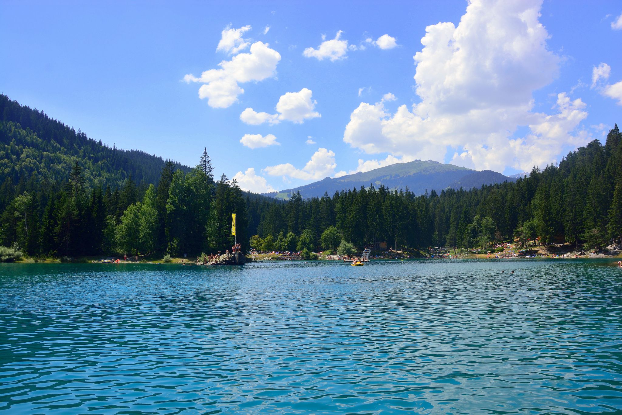
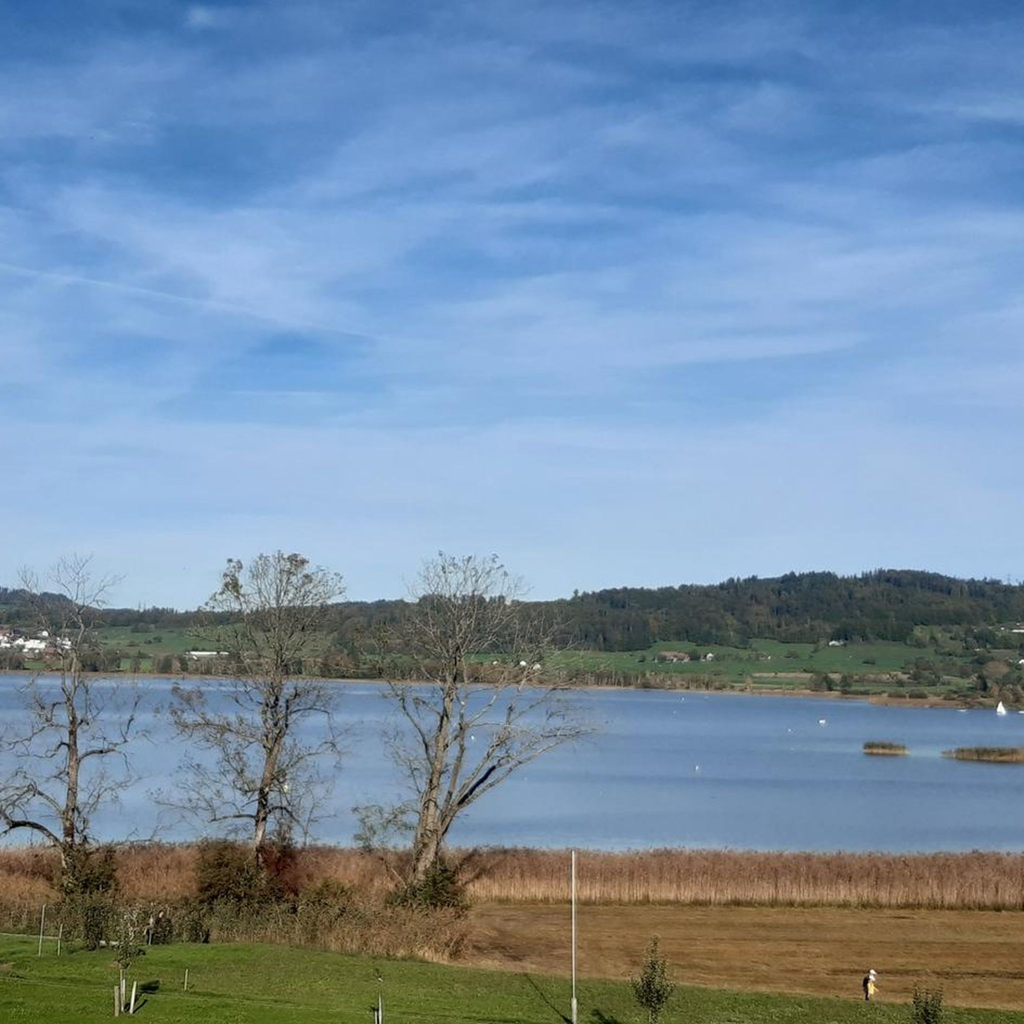
You can come here from all sides and enjoy the diverse nature
1
0

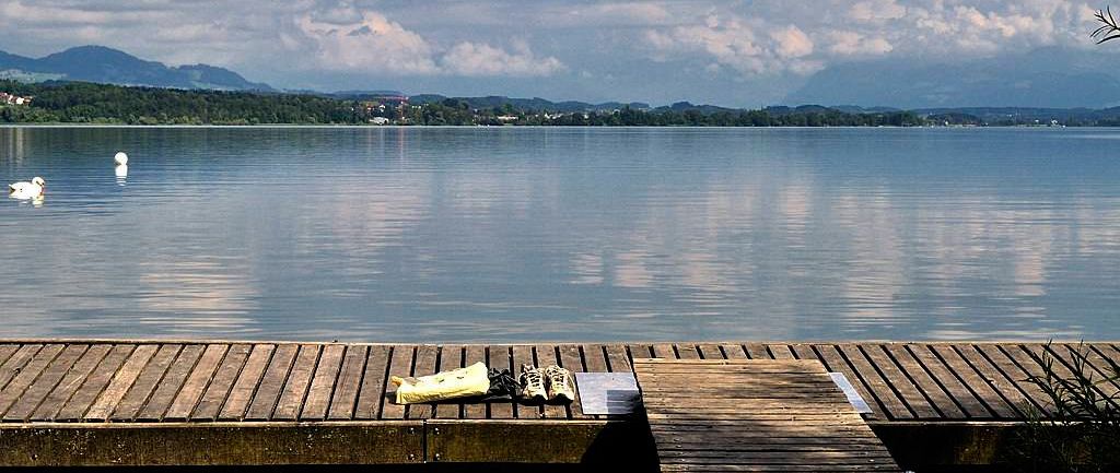
The view from the bank is now severely restricted.
3
0

Built in 1859 by the Centralbahn architect Ludwig Mahring. 1. Basel location, 2. Olten location, 3. Bauma location. Link: https://dvzo.ch/entdecken/historical-bahnhofshalle/
0
0

The highest point is the Stoffel 928m
3
0


The depot hall from 1860 was originally located in Basel and was moved here in 2015. It serves as a shelter for many historic railway carriages and locomotives.
3
0
Super observation tower on Lake Zurich and the Alps
10
0

Incredibly great panoramic view of Lake Zurich/Obersee. Every effort that this small but beautiful mountain requires is worth it! What is also great is that the Bachtel can be reached via various routes. Even though the view from the mountain is already great, the observation tower should definitely be climbed. A head for heights is an advantage. However, since you can't see the ground below because of the steps and the plateaus, it is also relatively suitable for those who are not afraid of heights (I can report this from my husband's experience) When I'm in the area again, I'll hike up the Bachtel again using a different route.
6
0
Frequently Asked Questions
What kind of mountain peaks can I expect to find around Seegräben?
The landscape around Seegräben is characterized by gently rolling hills rather than prominent, high-altitude mountain peaks. These hills, shaped by glacial moraines, offer picturesque views and are ideal for walking and enjoying nature. While not challenging ascents, they provide elevated viewpoints and natural beauty.
What are some popular viewpoints or summits near Seegräben?
One of the most popular spots is Bachtel Tower, which offers extensive panoramic views and includes a restaurant. Another highly regarded location is View from the Pfannenstiel summit, providing beautiful vistas of the mountains and Lake Zurich from its 853-meter elevation, complete with a small fireplace area.
Are there any family-friendly mountain peaks or viewpoints in the area?
Yes, several spots are suitable for families. Bachtel Tower is considered family-friendly, offering easy access to its viewpoint and a restaurant. The View from the Pfannenstiel summit also features a small area with a fireplace, making it a pleasant destination for families.
What natural attractions can I explore while hiking near Seegräben?
Beyond the hilly terrain, Seegräben is known for its picturesque lakeside setting on the western shore of Pfäffikersee lake and the wetland nature reserve of Robenhauser Ried. The region's topography also features valleys with steep flanks of Nagelfluh rock, including small grottos like the 24-meter-long Franzosenhöhle, offering diverse natural sights.
What kind of hiking trails are available near Seegräben's peaks?
The area offers a variety of trails suitable for different preferences. For instance, the hike to Stoffel Summit (928 m) is described as varied, featuring many bridges and offering views across the Tösstal and towards the Hörnli. While some summits like Ascent to the Allmen Summit might be wooded and lack views, the journey through the forest itself can be rewarding.
What do visitors particularly enjoy about the mountain peaks around Seegräben?
Visitors frequently praise the stunning views, especially from locations like Bachtel Tower and the View from the Pfannenstiel summit, which offer panoramic vistas of Lake Zurich and the surrounding mountains. The varied hiking experiences, including trails with bridges and through beautiful forests, are also highly appreciated.
Are there any historical sites or landmarks near the peaks?
While the region is primarily known for its natural beauty, you can find historical interest nearby. For example, the Historic Station Hall Bauma, a monument of national importance from 1875, is located in Bauma and offers insights into railway history.
What outdoor activities can I do near these mountain peaks?
Besides hiking, the area around Seegräben is excellent for cycling and running. You can find various routes, such as the 'Pfäffikersee Circular Trail' for running or scenic routes like 'Lake Greifensee – Gravel path at Greifensee loop' for cycling. For more options, explore the Cycling around Seegräben, Road Cycling Routes around Seegräben, and Running Trails around Seegräben guides.
What is the highest point in the immediate Seegräben area?
While Seegräben itself is characterized by gentle hills, its highest point is approximately 583 meters above sea level. The church in Seegräben is situated at an elevation of 561 meters (1,841 feet).
How accessible are the mountain peaks and viewpoints around Seegräben by public transport?
The region is generally well-connected. Many starting points for trails and access to viewpoints like Bachtel Tower are reachable via public transport, making it convenient for visitors without a car. Specific routes and schedules can be checked with local transport providers.
Are there cafes or restaurants near the mountain peaks for refreshments?
Yes, for instance, Bachtel Tower features a good restaurant, making it a popular destination for a meal or a drink with a view. Other trails may also have cafes or restaurants in nearby villages.
Most popular routes around Seegräben
Most popular attractions around Seegräben

Get inspired with the komoot mobile app


Explore more
See even more amazing summits around Seegräben with these guides:
