The 5 Most Amazing Peaks around Pradelles-Cabardès
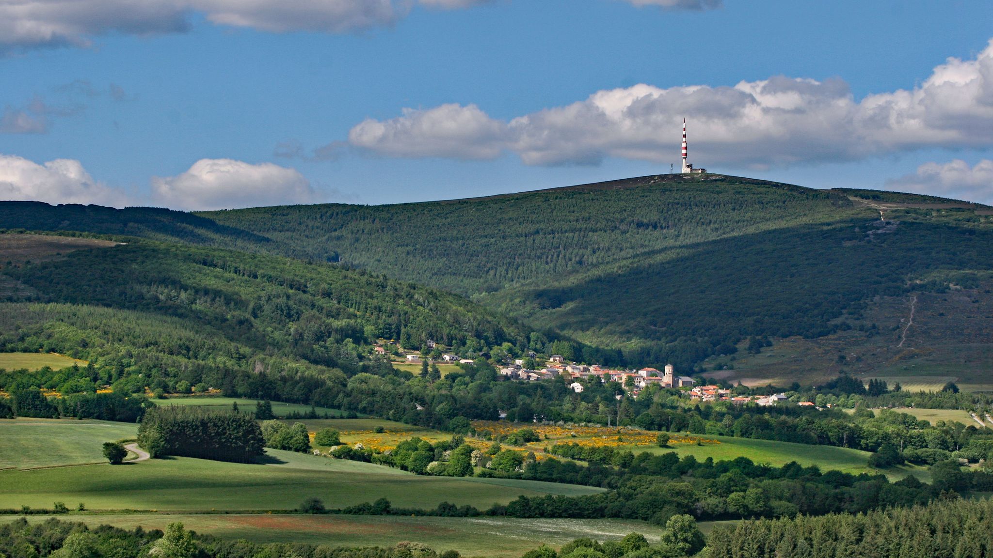
Best mountain peaks around Pradelles-Cabardès are situated in the Montagne Noire, a region characterized by its mountainous landscapes. The village of Pradelles-Cabardès, at an altitude of 820 meters, serves as a starting point for exploring the area's elevations. The region's relief is dominated by the Pic de Nore, the highest point of the Montagne Noire. This area offers diverse natural features, including beech forests, moorland, and granite rock formations.
Best mountain peaks around Pradelles-Cabardès
- The most popular mountain peaks is…
Last updated: August 18, 2026
Pic de Nore
Highlight • Summit
Translated by Google •
Tip by

Ascent of Pic de Nore via Mazamet (Route des Usines)
Highlight (Segment) • Climb
Translated by Google •
Tip by

Sign up now to discover places like this
Get recommendations on the best single tracks, peaks, & plenty of other exciting outdoor places.
Sign up for free
Peyremaux Rock
Highlight • Summit
Translated by Google •
Tip by

Roc de l'Aigle
Highlight • Viewpoint
Translated by Google •
Tip by

Start today with a free account
Your next adventure awaits.
Login or Signup
Popular around Pradelles-Cabardès

Hexatrek – The Cévennes to the Pyrenees between gorges and limestone plateau
Béziers in loop - The Haut-Languedoc
Hiking around Pradelles-Cabardès
Road Cycling Routes around Pradelles-Cabardès
Cycling around Pradelles-Cabardès
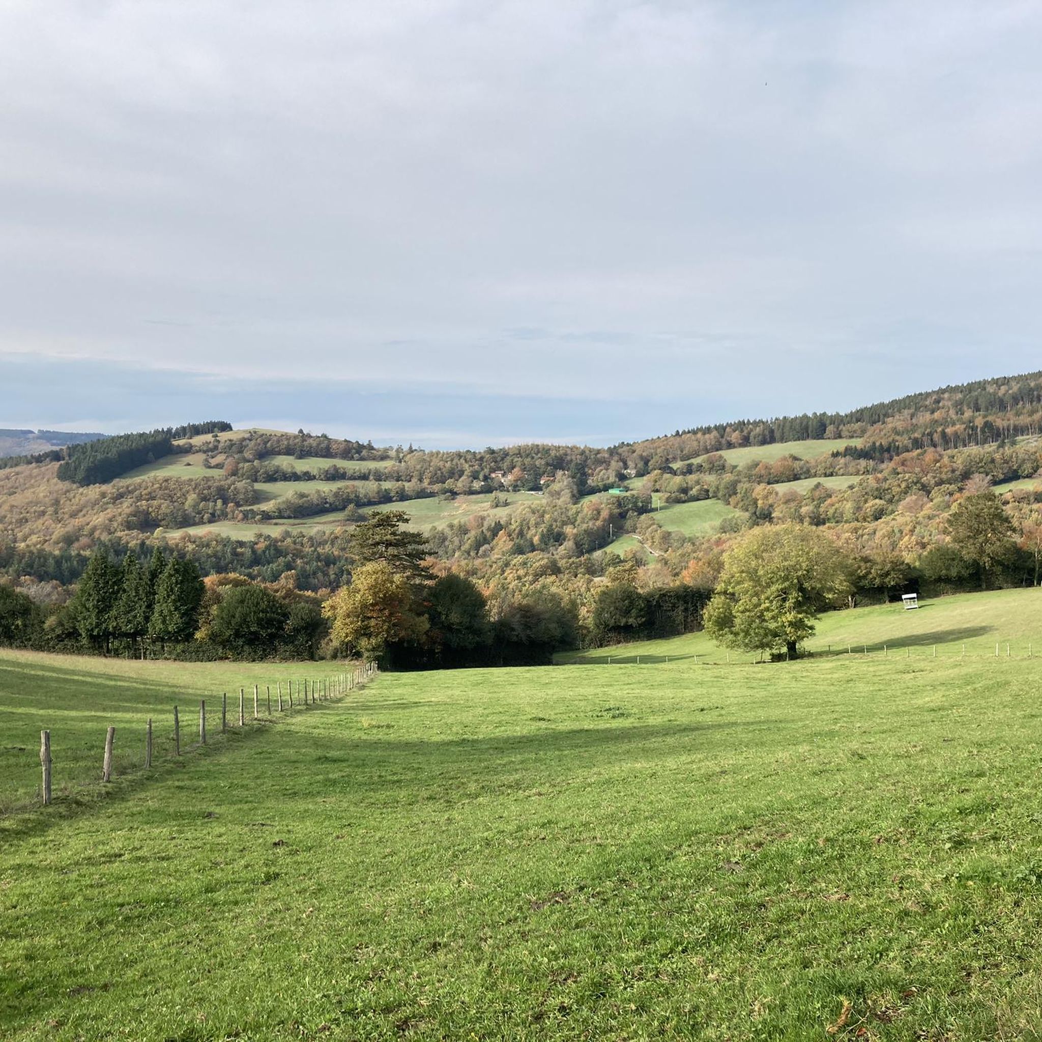
Running Trails around Pradelles-Cabardès
Gravel biking around Pradelles-Cabardès
MTB Trails around Pradelles-Cabardès


Tips from the Community


Save your energy for the last 5km, be careful when it's windy.
0
0

Very nice walk, varied nature, beautiful view, very pretty heather ☺️ Partially shaded.
1
1

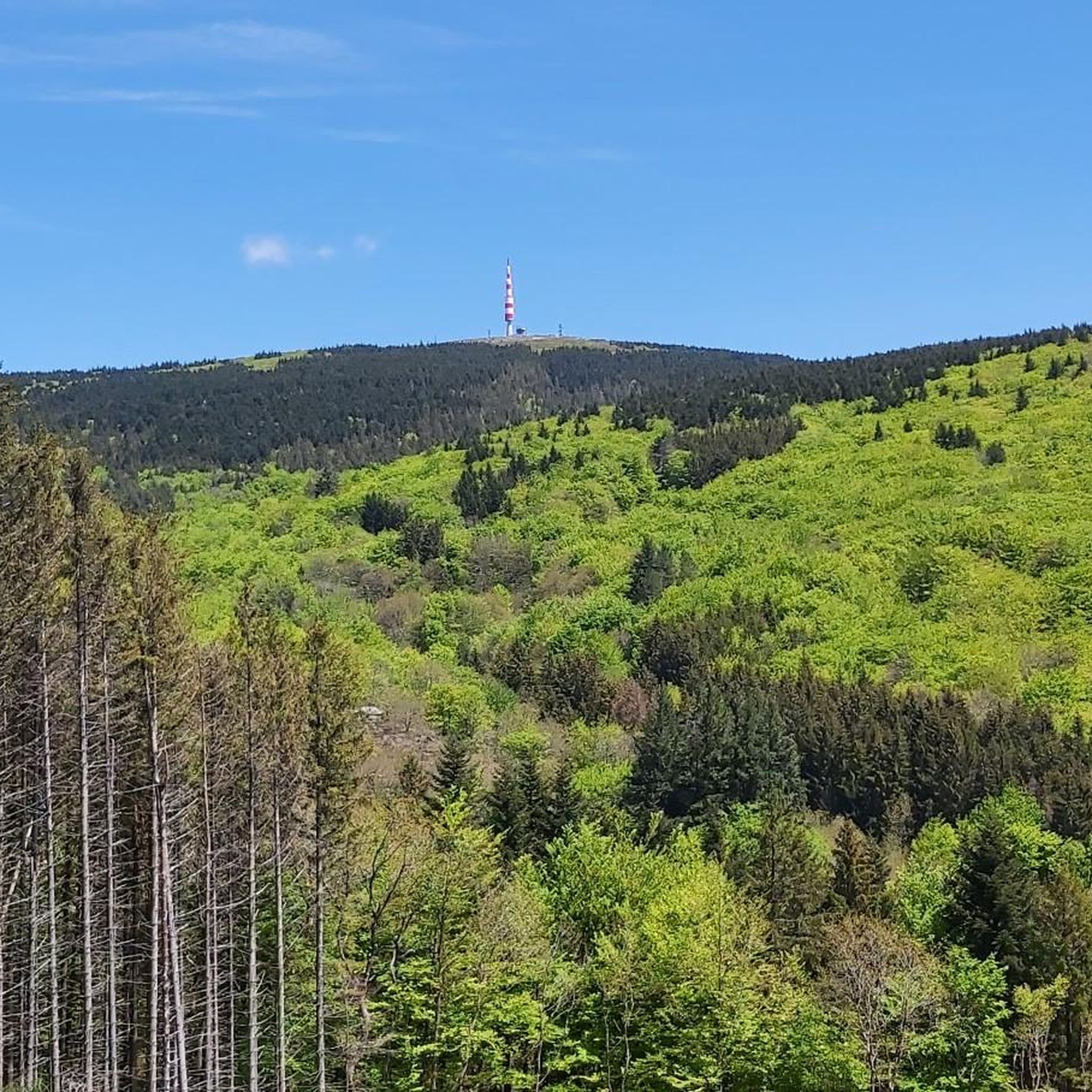
Despite its low altitude (only 1,211 meters), the Pic de Nore, located in the Aude department and the highest point of the Montagne Noire, can experience extremely harsh weather conditions. You can't miss its imposing red and white television antenna.
0
0

The Roc de l'Aigle offers a magnificent panorama over the Montagne Noire to the Pyrenees, and the ridge to reach it is quite spectacular.
1
0

The Pic de Nore is a small flat peak that culminates at 1,211 meters. It offers a superb 360° panorama of the Montagne Noire and the south-western limits of the Haut-Languedoc regional natural park.
2
1
The rock of Peyremaux forms a beautiful rocky tooth which is extracted from the forest massif located at its feet. It is possible to climb on it to go to the end, but you have to be comfortable on very technical ground. For insiders, the panorama is worth a thousand times this small climb.
1
0
Frequently Asked Questions
What kind of panoramic views can I expect from the mountain peaks around Pradelles-Cabardès?
The region's highest point, Pic de Nore, offers breathtaking 360° panoramic views. From its summit, you can see across the Pyrenees to the south and over the Espinouse to the north, encompassing several French departments. Peyremaux Rock also provides a superb 360-degree vista from its granite formations.
Are there accessible hikes for beginners around Pradelles-Cabardès?
Yes, the climb to Pic de Nore from Pradelles-Cabardès is considered relatively easy. Hiking routes often lead through enchanting beech forests and moorland, providing scenic and manageable paths for those new to mountain hiking.
What natural features characterize the mountain peaks around Pradelles-Cabardès?
The Montagne Noire, where these peaks are located, is characterized by diverse natural features. You'll find extensive beech forests, open moorland, and distinctive granite rock formations, particularly around spots like Peyremaux Rock.
What historical sites can I discover near the mountain peaks?
Along some hiking trails to Pic de Nore, you can find the 'Cabane d'Hélène' menhirs and the historic ice houses of Pradelles-Cabardès. These semi-buried stone silos, dating back to the 19th century, were used for storing and trading ice. The village itself also boasts the 14th and 15th-century Saint-Jean-Baptiste church.
What outdoor activities can I do near these mountain peaks?
Beyond hiking to the peaks, the area offers various outdoor activities. You can explore road cycling routes like the 'Mazamet Footbridge – Drinking water Pradelles-Cabardès loop' or enjoy running trails such as the 'Pic de Nore loop from Pradelles-Cabardès'. For general cycling, consider the 'Pic de Nore – Pic de Nore Summit loop from Pradelles-Cabardès'. You can find more details on these activities in the Road Cycling Routes, Running Trails, and Cycling around Pradelles-Cabardès guides.
What is the highest point in the Montagne Noire region?
The highest point in the Montagne Noire region is Pic de Nore, reaching an elevation of 1,211 meters. It's easily identifiable by its prominent television antenna.
Are there any unique geological formations to see?
Yes, Peyremaux Rock is a distinctive rocky tooth formed by granite rocks. An information board at its base explains its presence through plate tectonics, making it an interesting geological feature to visit.
What is the 'Ascent of Pic de Nore via Mazamet (Route des Usines)'?
The Ascent of Pic de Nore via Mazamet (Route des Usines) is a popular climb that follows the Arnette gorges. It offers a quiet, regular ascent with a consistent slope, making it a good alternative to other, steeper routes to the peak. It passes under the Hautpoul footbridge and through the village of Pradelles.
Is there another notable elevation besides Pic de Nore?
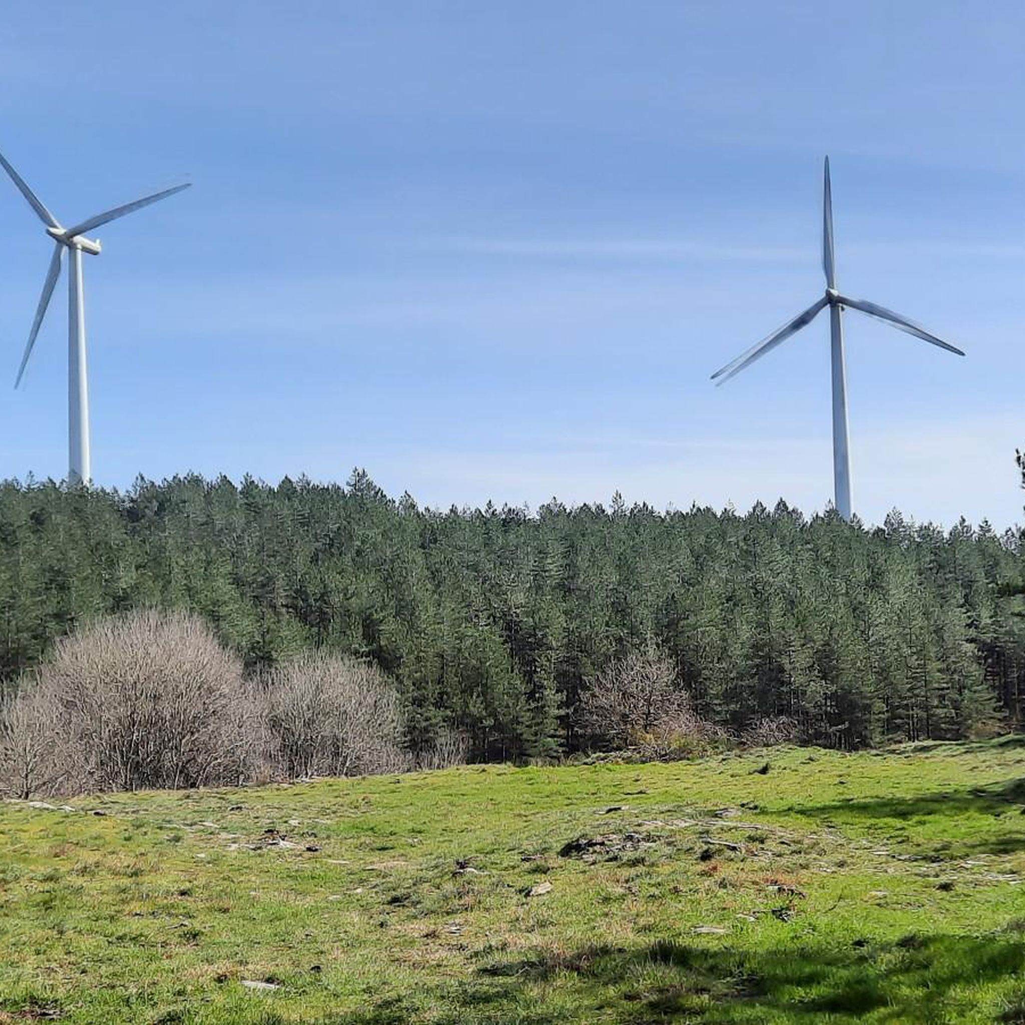
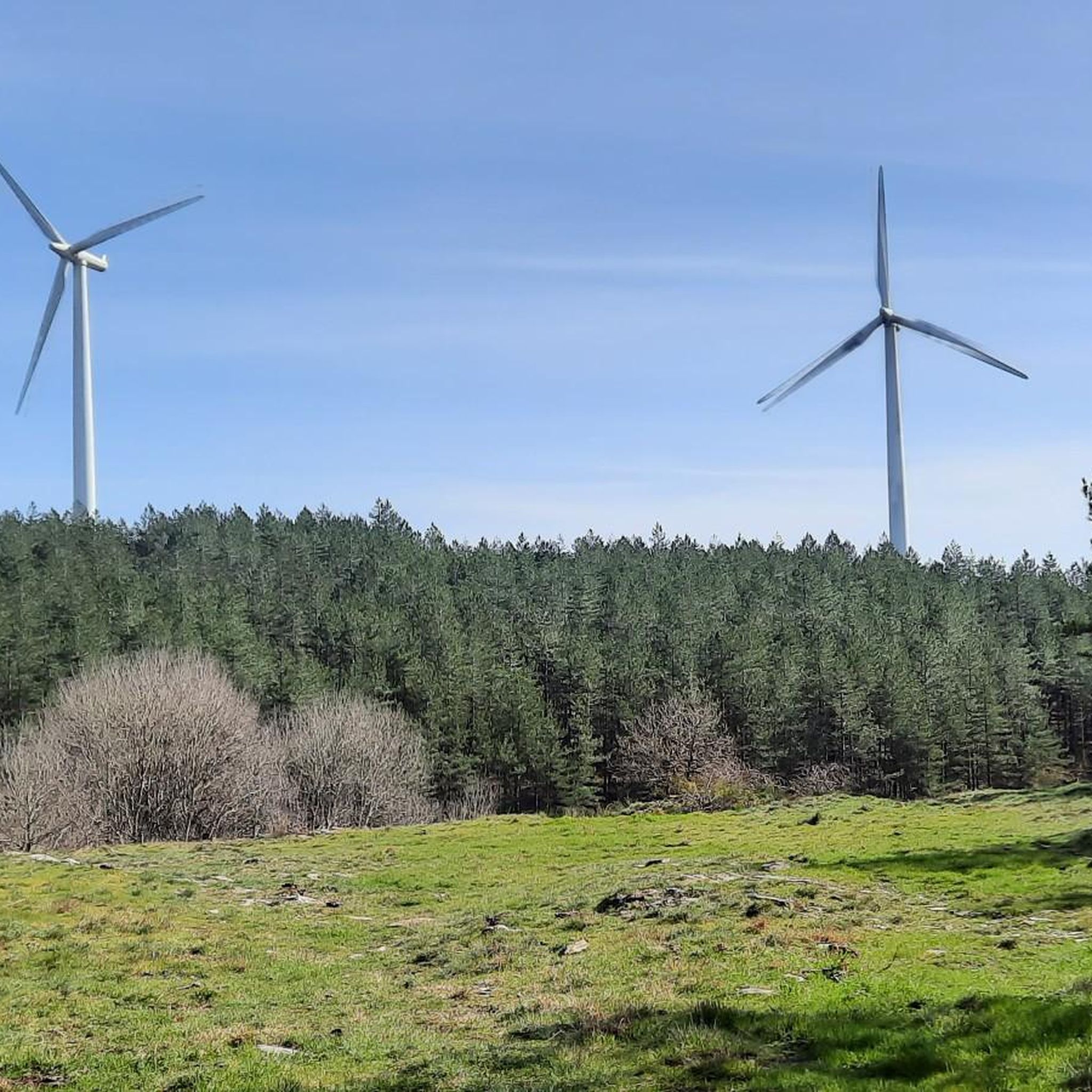
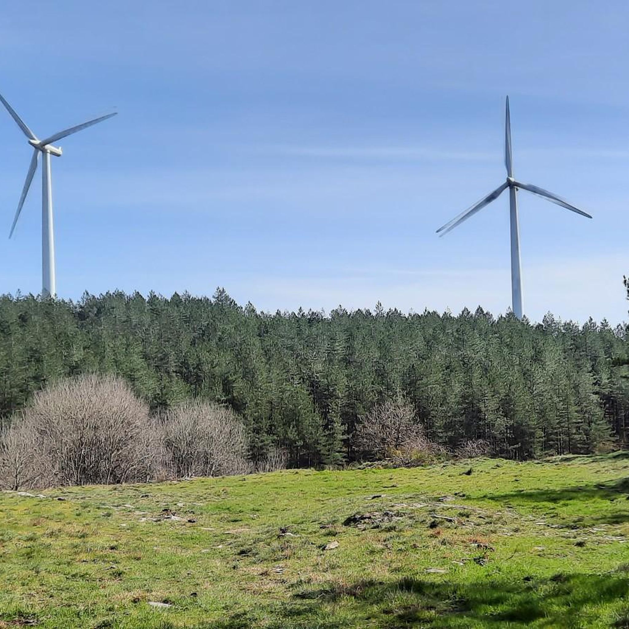
Yes, Mont Sarrat is another notable elevation in the vicinity. While not a peak in the same sense as Pic de Nore, it is distinctive due to the wind turbines installed on its slopes, which are visible from Pradelles-Cabardès. The GR®36 long-distance hiking trail passes by its base.
What makes Roc de l'Aigle worth visiting?
The Roc de l'Aigle offers a magnificent panorama over the Montagne Noire towards the Pyrenees. The ridge leading to it is quite spectacular, providing a memorable experience for visitors.
What are the general weather conditions like on Pic de Nore?
Despite its relatively low altitude of 1,211 meters, Pic de Nore can experience extremely harsh weather conditions. It's advisable to be prepared for varying weather, even on days that seem mild at lower elevations.
Most popular routes around Pradelles-Cabardès
Most popular attractions around Pradelles-Cabardès

Get inspired with the komoot mobile app


Explore more
See even more amazing summits around Pradelles-Cabardès with these guides:
