The 5 Most Amazing Peaks around Saint-Martin-De-Bavel
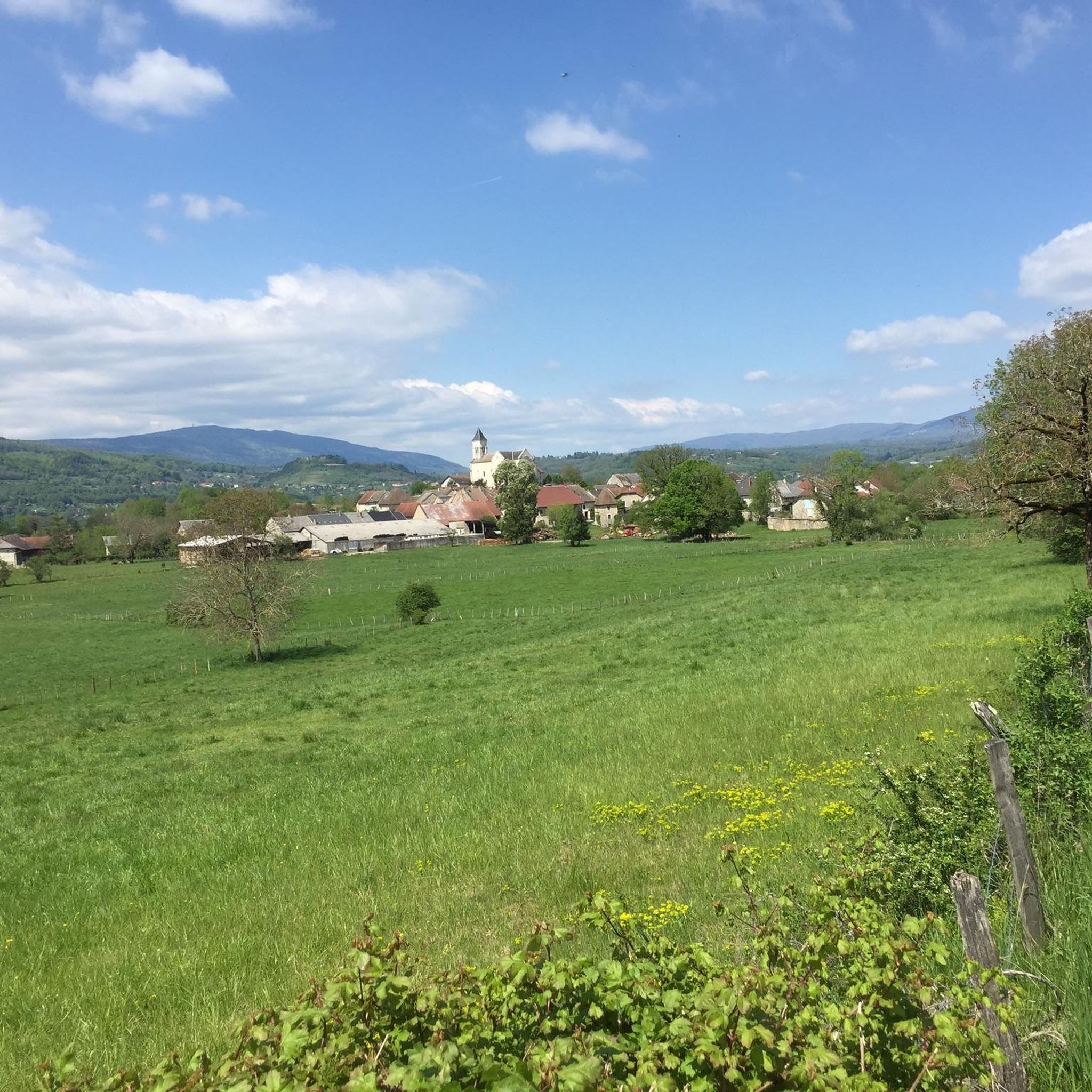
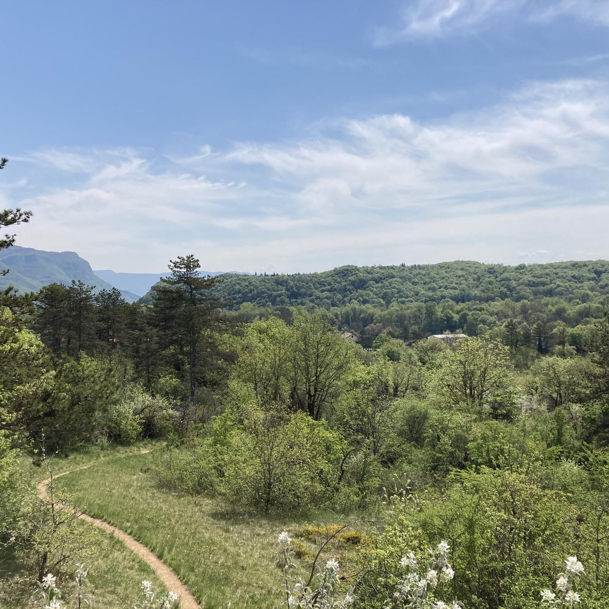
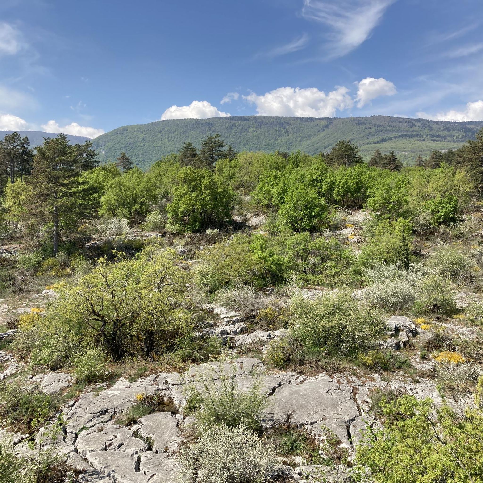
Best mountain peaks near Saint-Martin-De-Bavel are characterized by a landscape of forests, agricultural land, and meadows, featuring elevated terrain rather than high alpine summits. The commune's maximum altitude reaches 442 meters, offering hills and elevated areas for exploration. These areas provide opportunities for hiking and enjoying the natural surroundings of the Ain department. Visitors can find numerous walking routes that traverse the undulating terrain, leading to scenic viewpoints.
Best mountain peaks around Saint-Martin-De-Bavel
- The most popular mountain peaks is Grand Colombier Cross and orientation table, a viewpoint that offers a 360-degree panorama. This spot provides impressive views of the Alps and the 3 French Alpine lakes.
- Another must-see spot is Panoramic View of Grand Colombier, Culoz, and Lac du Bourget, a viewpoint offering expansive vistas. Visitors can expect a clear view of the Grand Colombier, Culoz, and Lac du Bourget on clear days.
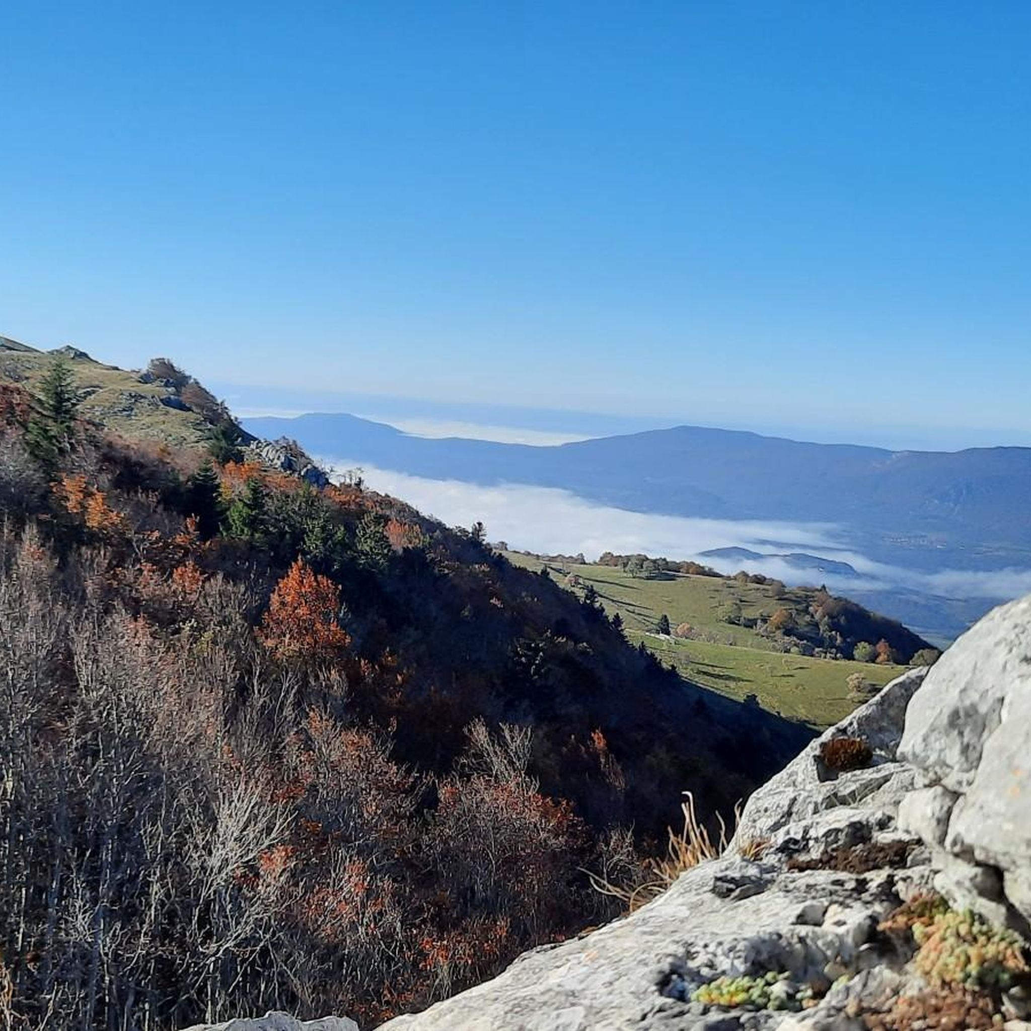
- Visitors also love Col du Grand Colombier, a mountain pass with challenging ascents. This pass is notable for its magnificent views of the Rhône, Lac du Bourget, and the entire Alpine arc.
- Saint-Martin-De-Bavel is known for its panoramic viewpoints and challenging mountain passes. The variety of elevated terrain and scenic spots allows for diverse hiking experiences.
- The mountain peaks around Saint-Martin-De-Bavel are appreciated by the komoot community, with 223 upvotes and 142 photos shared by visitors.
Last updated: July 6, 2026
Col du Grand Colombier
Highlight • Mountain Pass
Showing Translation
Tip by

Grand Colombier Summit
Highlight • Summit
Translated by Google •
Tip by

Sign up now to discover places like this
Get recommendations on the best single tracks, peaks, & plenty of other exciting outdoor places.
Sign up for free
Grand Colombier Cross and orientation table
Highlight • Viewpoint
Translated by Google •
Tip by

Cyclist Sculpture at Col du Grand Colombier
Highlight • Monument
Translated by Google •
Tip by

Magnificent view
Highlight • Viewpoint
Translated by Google •
Tip by

Sign up for free to discover even more peaks around Saint-Martin-De-Bavel.
Sign up for free
Already have an account?
Start today with a free account
Your next adventure awaits.
Login or Signup

Tips from the Community

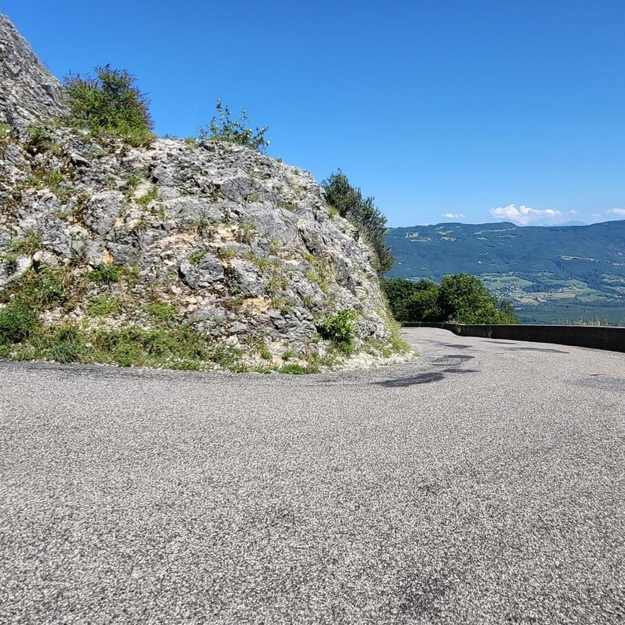
Legendary climb, legendary bends, breathtaking view.
1
0

Image of a cyclist on top of the Grand Colombier. Also a beautiful viewpoint
4
0

360-degree panorama from the Grand Colombier cross located a few meters below the summit located a little further north. (1524 meters). Impressive panorama of the Alps and view of the 3 French Alpine lakes.
0
0
Beautiful stele which allows for beautiful photos to celebrate the arrival at the summit!
3
0

Every second Saturday in June, July, August and September. from 7 a.m. to 3 p.m., the climb to the Grand Colombier from Culoz is reserved for cyclists, without registration.
3
0

View of the Rhône Valley, Lac du Bourget and the mountains
4
0
Long and difficult climb, fantastic views along the way. Spicy increase percentages.
4
1

Discovered by the Tour de France, it is now a legendary mountain. I recommend the climb from Culoz with its spectacular hairpin bends and great views of Lac du Bourget. 17 km ascent, partly up to 14% incline, but with 2 longer flat sections that allow some relaxation. Wonderful all-round view at the summit, with snack bar and souvenir shop in the nice season.
3
1
Frequently Asked Questions
What kind of elevated terrain and 'peaks' can I expect around Saint-Martin-De-Bavel?
Saint-Martin-De-Bavel is characterized by a landscape of forests, agricultural land, and meadows, featuring hills and elevated terrain rather than high alpine summits. The maximum altitude reaches 442 meters. You'll find numerous walking routes that traverse undulating terrain, leading to scenic viewpoints and passes, offering a tranquil rural setting for exploration.
What are some of the most popular viewpoints in the region?
Visitors particularly enjoy the Grand Colombier Cross and orientation table, which offers a 360-degree panorama of the Alps and three French Alpine lakes. Another highly-rated spot is the Panoramic View of Grand Colombier, Culoz, and Lac du Bourget, providing expansive vistas on clear days.
Are there challenging routes for experienced hikers or cyclists?
Yes, the Col du Grand Colombier is a notable mountain pass known for its challenging ascents, especially from the Virieu-le-Petit side with steep slopes over several kilometers. It offers magnificent views of the Rhône, Lac du Bourget, and the entire Alpine arc, making it a rewarding climb for cyclists and hikers alike.
What outdoor activities can I do near these elevated areas?
Beyond hiking to viewpoints, the region offers a variety of outdoor activities. You can find numerous running trails, such as the Clairefontaine Waterfall Circuit, or longer loops from Vieu, Belmont, and Talissieu. For cyclists, there are extensive gravel biking routes like the Old bridge of Seyssel – Canal de Savières loop, and challenging road cycling routes including the Belley – Rock Tunnel on the ViaRhôna loop. Explore more options on the Running Trails, Gravel Biking, and Road Cycling Routes around Saint-Martin-De-Bavel guides.
What natural features can I expect to see from the viewpoints?
From various viewpoints, you can expect to see panoramic vistas of the Rhône Valley, the serene Lac du Bourget, and the surrounding mountains. On exceptionally clear days, some spots even offer glimpses of Mont Blanc and the wider Alpine arc, providing a stunning natural spectacle.
What do visitors appreciate most about the elevated areas around Saint-Martin-De-Bavel?
Visitors frequently highlight the magnificent views, especially from the Col du Grand Colombier, which offers superb panoramas of the Rhône, Lac du Bourget, and the Alpine arc. The tranquility of the small roads with little traffic, combined with the rewarding views after challenging ascents, is also highly valued.
Are there any unique landmarks or monuments at the summits?
Yes, at the Col du Grand Colombier, you can find the Cyclist Sculpture, a stele that makes for great photos and celebrates the achievement of reaching the summit. Additionally, the Grand Colombier Cross and orientation table provides a clear reference point for the surrounding 360-degree panorama.
What is the best time to visit Saint-Martin-De-Bavel for outdoor activities?
While specific seasonal data isn't available, the region's appeal lies in its natural surroundings and walking routes. Generally, spring and autumn offer pleasant temperatures for hiking and cycling, with vibrant foliage or blooming flora. Summer is also suitable, though it can be warmer. Winter conditions might vary, but the focus is on elevated terrain rather than high alpine peaks, suggesting year-round accessibility for some activities.
Are there any easy or intermediate routes suitable for beginners or families?
Many of the walking routes traversing the undulating terrain are suitable for various fitness levels. While some highlights like the Grand Colombier Cross and orientation table and the Panoramic View of Grand Colombier, Culoz, and Lac du Bourget are categorized as intermediate, the overall rural setting and numerous trails offer options for less strenuous walks to enjoy the scenic viewpoints.
Can I find routes that include waterfalls or other specific natural attractions?
Yes, among the running trails, you can find the Clairefontaine Waterfall Circuit, which allows you to experience natural attractions like waterfalls while enjoying the varied flora and landscapes of the region. This route is categorized as moderate in difficulty.
How do the 'peaks' of Saint-Martin-De-Bavel compare to other regions in France?
It's important to note that Saint-Martin-De-Bavel, located in the Ain department, features elevated hills and viewpoints rather than traditional high mountain peaks like those found in the French Alps. For instance, it is distinct from Saint-Martin-de-Belleville in the Alps, which is surrounded by peaks over 2,000 meters. The appeal here is a tranquil, rural setting with scenic walks and panoramic views from its elevated terrain.
Most popular routes around Saint-Martin-De-Bavel
Most popular attractions around Saint-Martin-De-Bavel

Get inspired with the komoot mobile app


Explore more
See even more amazing summits around Saint-Martin-De-Bavel with these guides:
