Top 9 Caves around Staffelfelden
Best caves around Staffelfelden are found within the broader region, offering a diverse range of underground experiences. The landscape surrounding Staffelfelden features geological formations, including karst limestone, which contribute to natural cave development. Additionally, the area contains historical underground structures, providing insights into past human activities and conflicts. These sites are integrated into hiking routes, allowing for combined exploration of natural and historical points of interest.
Best caves around Staffelfelden
- The most popular caves is Lower Rehfelsen Tunnels, a…
Last updated: October 8, 2026
Adlerhorst Command Post – World War I
Highlight • Historical Site
Translated by Google •
Tip by

Veilchenstein German WW1 Bunker
Highlight • Historical Site
Translated by Google •
Tip by
Sign up now to discover places like this
Get recommendations on the best single tracks, peaks, & plenty of other exciting outdoor places.
Lower Rehfelsen Tunnels
Highlight • Cave
even the hiking trail leads through one of the rooms.
Translated by Google •
Tip by

Schletzenbourg medieval mine
Highlight • Historical Site
Translated by Google •
Tip by

Roche Fendue (Hartmannswillerkopf)
Highlight • Historical Site
Translated by Google •
Tip by

Sign up for free to discover even more caves around Staffelfelden.
Already have an account?
Start today with a free account
Your next adventure awaits.
Tips from the Community

The "Veilchenstein" is a German shelter located on the Hartmannswillerkopf¹ battlefield. This shelter, built into a rock, is equipped with a machine gun post and observatories¹. Hartmannswillerkopf, also known as Vieil Armand, is a pyramidal rocky spur in the Vosges massif, overlooking the Alsace plain from its 957 meters¹. During the First World War, it was a strategic summit hotly contested by the French and German armies¹. Today, the Hartmannswillerkopf is a place of memory, bearing witness to the suffering of the soldiers who fought in the name of their country¹. The German remains encountered on the ground, sometimes quite spaced apart from each other, are witnesses to this historical period¹. (1). https://bing.com/search?q=veilchenstein+harmannswillerkopf. (2) The Hartmannswillerkopf - Official website. https://www.memorial-hwk.eu/. (3) Hartmannswillerkopf - Wikipedia. https://fr.wikipedia.org/wiki/Hartmannswillerkopf.
0
0
The Adlerhorst is a German shelter located on the Hartmannswillerkopf³ battlefield. This two-story shelter is built into a rock³. It is equipped with a machine gun post, observatories and a fountain³. Hartmannswillerkopf, also known as Vieil Armand, is a pyramidal rocky spur in the Vosges massif, overlooking the Alsace plain from its 956 meters². During the First World War, it was a strategic summit hotly contested by the French and German armies². Today, the Hartmannswillerkopf is a place of memory, bearing witness to the suffering of the soldiers who fought in the name of their country³. The German remains encountered on the ground, sometimes quite spaced apart from each other, are witnesses to this historical period³. (1) The Hartmannswillerkopf – German positions – By hills and by forts. https://parmontsetparforts.fr/2024/03/17/hwk-positions-allemandes/. (2) The Hartmannswillerkopf - Official website. https://www.memorial-hwk.eu/. (3). https://bing.com/search?q=adlerhorst+810+hartmannswillerkopf.
0
0
The “Roche Fendue” is a rock formation located on the Hartmannswillerkopf battlefield¹. It is located to the north of the HWK, below the Silberloch Pass, at around 750 meters above sea level³. The French fortified this rock during the First World War by digging an underground gallery approximately 20 meters long³. Above the Roche Fendue, a trench leads to an observation post offering a view of the Freundstein, the Grand-Ballon, the Hartfelsen, the Südelkopf and the Thierenbachkopf¹. These fortifications are among the many vestiges of the trench warfare which lasted from the end of 1914 to July 1918 on the Hartmannswillerkopf¹. Today, these sites are places of memory, witnesses to the suffering of soldiers who fought in the name of their country¹. (1) The Hartmannswillerkopf – French positions – By Mountains and by Forts. https://parmontsetparforts.fr/2024/03/24/hwk-positions-francaises/. (2) HWK: Observatories - e-monsite. https://hartmannswillerkopf.e-monsite.com/pages/hwk-les-observatoires.html. (3) To do: The northern trenches of Hartmannswillerkopf - Hiking. https://www.visorando.com/randonnee-les-tranchees-nord-du-hartmannswillerkop/.
0
0

During the First World War, this rock massif was expanded into a strong, self-sufficient fortress. Over time, the hilltop was completely hollowed out with a large number of tunnels and rock chambers.
1
0

Very nice view of the underground passages.
0
0

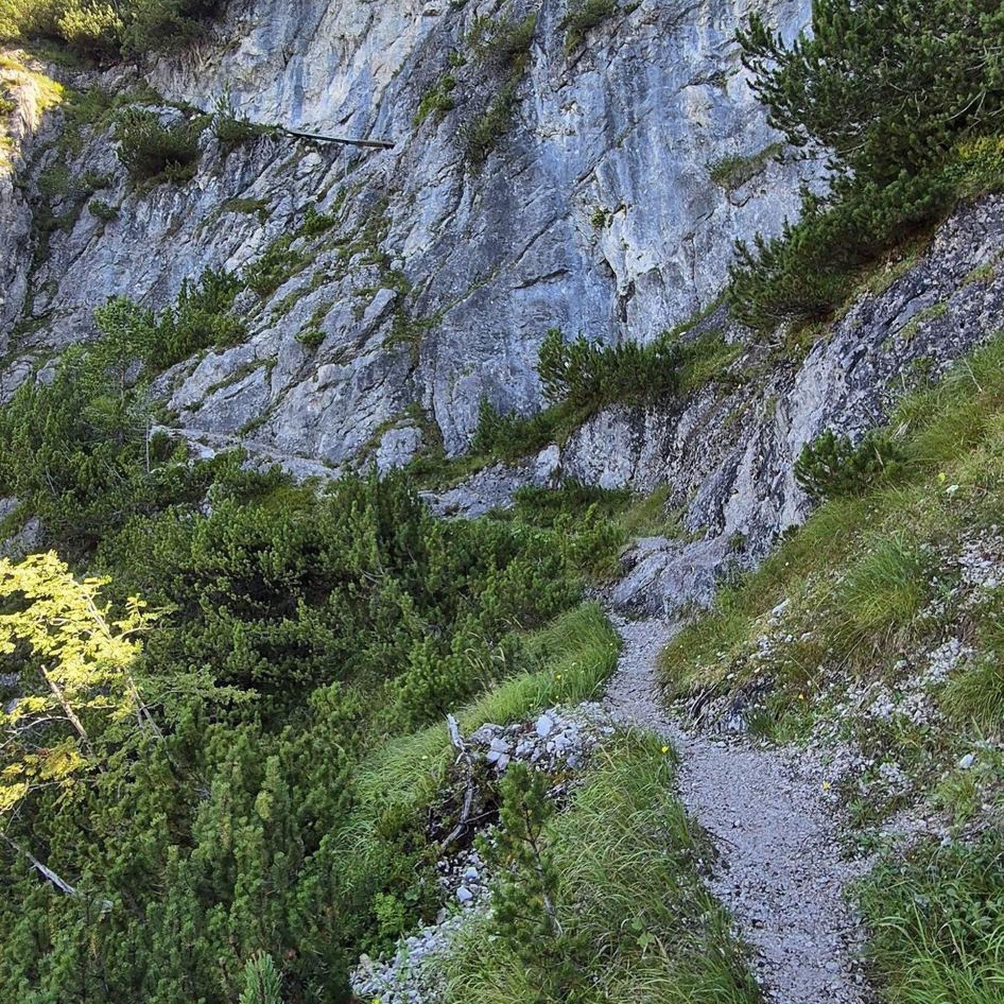
A fortified natural rock that can be accessed from several levels. even the hiking trail leads through one of the rooms.
4
0

For people of our size today, it is hard to imagine how grown men dug for lead here. This mine is a must for anyone interested in history and archeology!
1
0

Impressive ! it is hard to imagine the men working in this place the conditions must have been extremely difficult
1
0
Frequently Asked Questions
What types of caves can I explore around Staffelfelden?
The region around Staffelfelden offers a mix of natural caves and historical underground structures. You can find natural fissures formed in karst limestone, as well as man-made sites like World War I bunkers and medieval mines.
Are there any natural caves near Staffelfelden?
Yes, the most notable natural cave in the broader region is the Cave of the Dwarfs (Grotte des Nains) near Ferrette. It's a fissure in a 25-meter-high gorge, known for its geological features and climbing opportunities.
What historical underground sites are there to visit?
The area features several significant historical sites. You can explore the Lower Rehfelsen Tunnels, a fortified natural rock with three floors of galleries and machine gun posts from World War I. Another option is the Schletzenbourg medieval mine, where you can see underground passages used for lead extraction, offering insight into historical mining practices.
Can I combine cave exploration with hiking?
Absolutely. The Cave of the Dwarfs is part of popular hiking routes around Ferrette, allowing you to combine cave exploration with scenic walks and views of the ruined Ferrette castle. Many historical sites like the Adlerhorst Command Post are also integrated into hiking trails.
What are the best times to visit the caves?
For natural caves like the Cave of the Dwarfs, summer is ideal, especially if you plan to climb, as the rock faces remain dry during light showers. For historical sites, many are accessible year-round, but checking specific opening hours or conditions before your visit is always recommended.
Are there any caves suitable for climbing?
Yes, the Cave of the Dwarfs (Grotte des Nains) near Ferrette is a recognized natural climbing site in the Alsatian Jura. Its gorge offers about 15 climbing routes and variants, suitable for various skill levels.
What other outdoor activities can I do near these caves?
Beyond caving and hiking, the Staffelfelden region offers a variety of outdoor activities. You can find numerous MTB trails, cycling routes, and gravel biking opportunities, allowing you to explore the diverse landscapes of the area.
What should I wear when visiting the caves?
For any cave exploration, it's advisable to wear sturdy shoes with good grip, as surfaces can be uneven or slippery. Layers of clothing are also recommended, as temperatures underground can be cooler than outside, even in summer. If exploring historical bunkers or mines, a headlamp or flashlight is essential.
Are there any caves with panoramic views?
Yes, above the gorge of the Cave of the Dwarfs, the Plateau des Nains offers panoramic views of the Ill valley and surrounding villages. Additionally, historical sites like the Veilchenstein German WW1 Bunker and Lower Rehfelsen Tunnels provide great views over the Rhine plain.
What makes the Adlerhorst Command Post unique?
The Adlerhorst Command Post – World War I is a spectacular rock fortress in the Vosges. It features steps, rooms, gun positions, and battlements, all built into the rock, offering a unique and immersive historical experience of the German positions during WWI.
Is there any folklore associated with the caves?
The Cave of the Dwarfs (Grotte des Nains) is steeped in local legend. It is said to have been inhabited by the 'little men of the earth' (Erdmanala) and 'little women of the earth,' adding a mystical dimension to its natural heritage.
Where can I park when visiting the Cave of the Dwarfs?
For the Cave of the Dwarfs, you can park at the Ferrette Communauté de Communes parking, which is about a 30-35 minute walk away. Alternatively, the Keucht car park offers a shorter 15-20 minute walk to the site.
Most popular routes around Staffelfelden
Most popular attractions around Staffelfelden

Get inspired with the komoot mobile app


Explore more
Extend your search for the best caves by checking out these guides of the top ones around Staffelfelden:
