The 15 Most Amazing Peaks around Cenarruza-Puebla De Bolívar
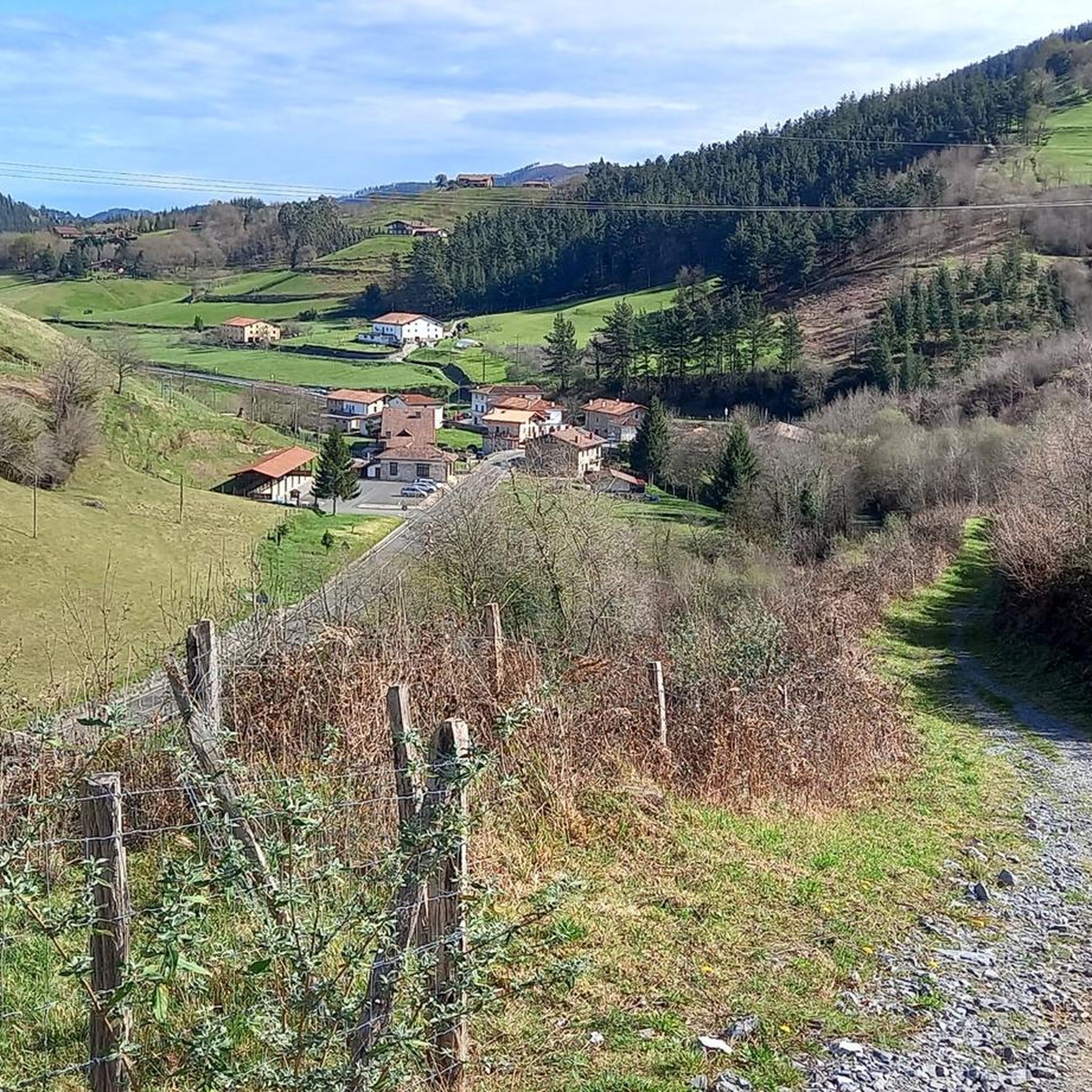
Mountain peaks around Cenarruza-Puebla De Bolívar offer access to diverse natural landscapes within the Basque Country. The region, encompassing areas like Bizkaia and Gipuzkoa, features various mountains providing panoramic views and hiking opportunities. These peaks are characterized by their distinct geological formations, ranging from coastal viewpoints to higher inland summits. The area provides a natural setting for outdoor activities and exploration.
Best mountain peaks around Cenarruza-Puebla De Bolívar
- The most popular mountain peaks is Kalamua Summit, a summit that…
Last updated: July 4, 2026
Alto de Muniketa (Montecalvo)
Highlight • Mountain Pass
Translated by Google •
Tip by

Gerrikaitz-Gontzagarigana climb
Highlight (Segment) • Climb
Translated by Google •
Tip by

Sign up now to discover places like this
Get recommendations on the best single tracks, peaks, & plenty of other exciting outdoor places.
Sign up for free
Kalamua Summit
Highlight • Summit
At its vertex, in addition to beautiful views, you can find several mailboxes.
Translated by Google •
Tip by

Kalamendi Summit
Highlight • Summit
Showing Translation
Tip by

Tontorramendi Summit
Highlight • Summit
Translated by Google •
Tip by
Sign up for free to discover even more peaks around Cenarruza-Puebla De Bolívar.
Sign up for free
Already have an account?
Start today with a free account
Your next adventure awaits.
Login or Signup
Popular around Cenarruza-Puebla De Bolívar

Tips from the Community

A must-have photo upon reaching the summit...
0
0

Modest summit of 315 meters of altitude with a small mailbox from which you can see the surrounding mountains and even the sea, due to its proximity to the coast. At the top there is a geodesic vertex.
0
1
This 770 meter high summit is an excellent vantage point from which to observe the mountains that surround us. It is an outcrop of slate. At its vertex, in addition to beautiful views, you can find several mailboxes.
1
0
This 386 meter high summit is located in the Arno massif, above the town of Ondarroa. This is a good point from which to observe the Cantabrian Sea and some of the peaks that surround you.
0
0

Montecalvo is located at an altitude of 381 meters, offering impressive views of the sea and Urdaibai on one side and Duranguesado on the other. The Muniketa road was the main communication route south through Durango until 1848, when the Autzagane road was improved.
1
0

From the top of Muniketa or Montecalvo, there are exceptional views and you can see the sea and Urdaibai on one side, as well as the Duranguesado on the other. Muniketa is a dispersed neighborhood with several typical hamlets and until 1848 it was the main route of communication to the south through Durango. That year the Autzagane road was improved. In Muniketa is the Astei agrotourism, a rehabilitated farmhouse with restaurant service from where we can perfectly see a slope of Mount Oiz and Goraño. From Artatza, the ascent is a 3.7-kilometre climb with 261 meters of positive elevation gain, 12 beautiful horseshoe curves and a very regular slope of around 7%. From Muxika, the ascent is 9 kilometers and a total of 382 meters of positive slope. More info at: https://www.muxikakoudala.eus/es-ES/informacion-cultural/Barrios/Paginas/Muniketa.aspx
0
0

Gontzagarigana from Gerrikaitz is an ascent in the Basque Country region. It is 2.7 kilometers long and covers 174 vertical meters with an average gradient of 6.4%. This climb scores 118 climbing points. The top of the climb is 365 meters high. https://climbfinder.com/en/climbs/gontzagarigana-gerrikaitz
2
0
Frequently Asked Questions
What are some of the most popular mountain peaks and passes to visit around Cenarruza-Puebla De Bolívar?
The region offers several notable peaks and passes. Among the most popular are Kalamua Summit, known for its panoramic views from 770 meters, and Kalamendi Summit, which provides views of both mountains and the sea due to its coastal proximity. Another significant spot is Alto de Muniketa (Montecalvo), a mountain pass offering impressive vistas of the sea, the Urdaibai biosphere reserve, and the Duranguesado region.
Are there challenging climbs for experienced hikers in the area?
Yes, for those seeking a moderate challenge, the Gerrikaitz-Gontzagarigana climb is a rewarding option. It covers 174 vertical meters over 2.7 kilometers, with an average gradient of 6.4%, reaching a peak altitude of 365 meters.
What kind of views can I expect from the mountain peaks in Cenarruza-Puebla De Bolívar?
The peaks and passes in this region offer diverse and impressive views. From Kalamua Summit, you'll get expansive panoramic views of the surrounding mountains. Kalamendi Summit provides unique vistas combining mountains with the sea. Alto de Muniketa (Montecalvo) offers views of the sea, the Urdaibai biosphere reserve, and the Duranguesado region.
What outdoor activities can I do near these mountain peaks?
Beyond hiking and climbing the peaks themselves, the area around Cenarruza-Puebla De Bolívar is excellent for various outdoor activities. You can find numerous routes for hiking, gravel biking, and road cycling. These routes often incorporate the scenic mountain landscapes and historical points of interest.
Are there family-friendly hiking options around Cenarruza-Puebla De Bolívar?
While specific 'family-friendly' tags aren't always present for individual peaks, many trails in the region offer varying difficulties. For easier walks, look for shorter, less steep routes. For example, some sections of the hiking guide around Cenarruza-Puebla De Bolívar include moderate and easy options, such as the 'Ansotegui Palace loop from Markina-Xemein' which is rated easy.
What is the best time of year to hike the mountains in Cenarruza-Puebla De Bolívar?
The region's peaks are generally accessible for hiking throughout much of the year. Spring and autumn offer pleasant temperatures and vibrant scenery, making them ideal. Summer can also be good, especially in the mornings or late afternoons to avoid the midday heat. Winter hiking is possible, but conditions can vary, so checking local weather and trail conditions is advisable.
What historical significance do some of these mountain passes hold?
The Alto de Muniketa (Montecalvo) mountain pass, for instance, has historical importance. The Muniketa road served as a significant communication route to the south through Durango until 1848, highlighting its role in connecting communities in the past.
Is Mount Oiz accessible for hiking, and what can I expect there?
Yes, Monte Oiz is a very popular destination for both walkers and cyclists. It is known for its scenic beauty and is a prominent feature in the local landscape, sheltering the municipality of Ziortza-Bolibar. Expect rewarding views and a well-trodden path due to its popularity.
Are there any amenities or cafes near the mountain trails?
While specific cafes directly on every mountain trail are not common, the dispersed neighborhood of Muniketa, near Alto de Muniketa (Montecalvo), hosts the Astei agrotourism, a rehabilitated farmhouse with restaurant service. For more options, nearby towns like Markina-Xemein or Durango, which serve as starting points for many routes, will have cafes and other amenities.
What makes Kalamua Summit a unique destination?
Kalamua Summit is unique not only for its 770-meter height and excellent panoramic views but also because it is an outcrop of slate. At its vertex, visitors can find several mailboxes, adding a distinctive touch to the summit experience.
Can I find circular hiking routes that incorporate these peaks?
Yes, the region offers various circular routes that allow you to experience the diverse landscapes. For example, the hiking guide for the area includes options like 'Akarregi y Kalamua — circular desde Markina-Xemein', which would likely incorporate some of the local peaks and viewpoints.
Most popular routes around Cenarruza-Puebla De Bolívar
Most popular attractions around Cenarruza-Puebla De Bolívar

Get inspired with the komoot mobile app


Explore more
See even more amazing summits around Cenarruza-Puebla De Bolívar with these guides:
