Alpujarra De La Sierra
Alpujarra De La Sierra
The 5 Most Amazing Peaks around Alpujarra De La Sierra
Mountain peaks around Alpujarra De La Sierra are located on the southern slopes of Spain's Sierra Nevada mountain range. This region is known for its unique cultural heritage and natural landscapes, offering access to notable mountains. The area provides a diverse environment for exploration, from high-altitude summits to scenic passes. It serves as a base for experiencing the Sierra Nevada National Park.
Best mountain peaks around Alpujarra De La Sierra
- The most popular mountain peaks is La Ragua Pass,…
Last updated: July 4, 2026
Peñabón
Highlight • Summit
Tip by

La Ragua Pass
Highlight • Mountain Pass
Translated by Google •
Tip by

Sign up now to discover places like this
Get recommendations on the best single tracks, peaks, & plenty of other exciting outdoor places.
Sign up for free
Cerro Pelado 3,182 m
Highlight • Summit
Translated by Google •
Tip by

Puntal de Juntillas 3,143 m
Highlight • Summit
Translated by Google •
Tip by
Morrón Sanjuanero (2,610 m)
Highlight • Summit
Translated by Google •
Tip by

Sign up for free to discover even more peaks around Alpujarra De La Sierra.
Sign up for free
Already have an account?
Start today with a free account
Your next adventure awaits.
Login or Signup
Popular around Alpujarra De La Sierra
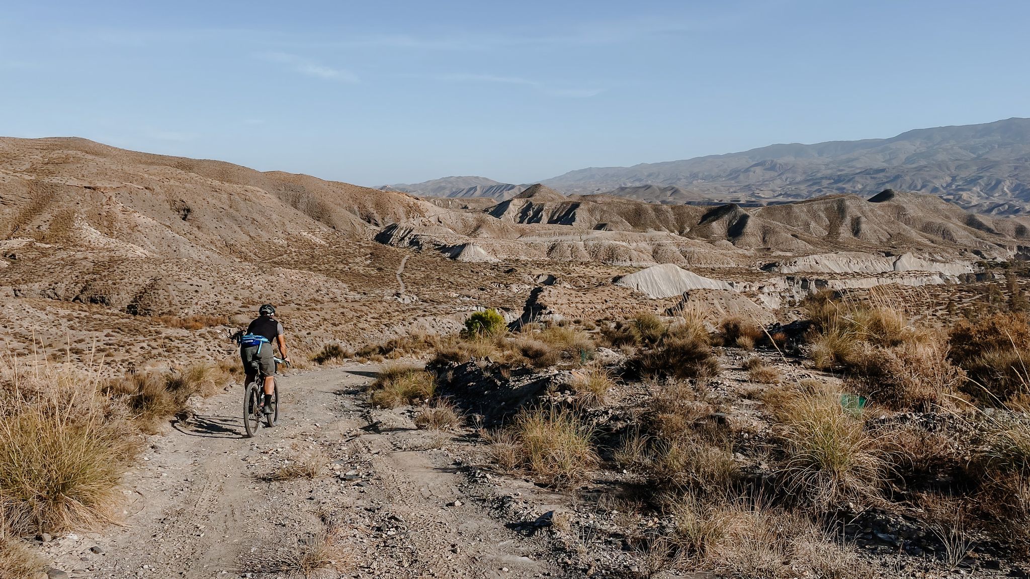
High mountains, desert and sea – an adventure of contrasts in Andalusia
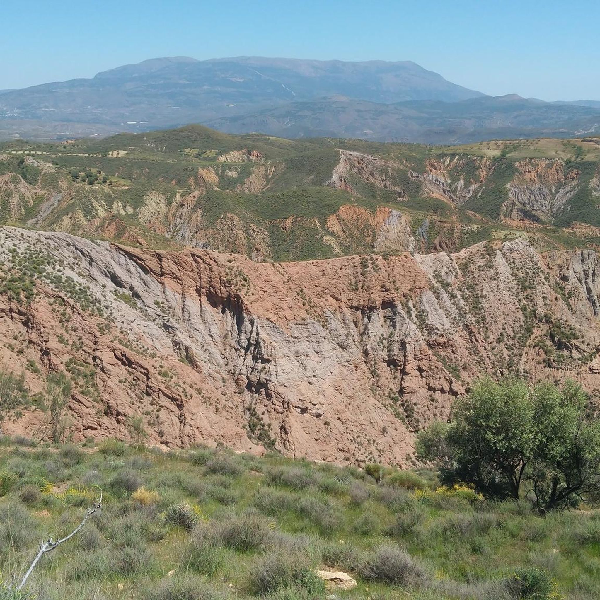
Running Trails around Alpujarra De La Sierra
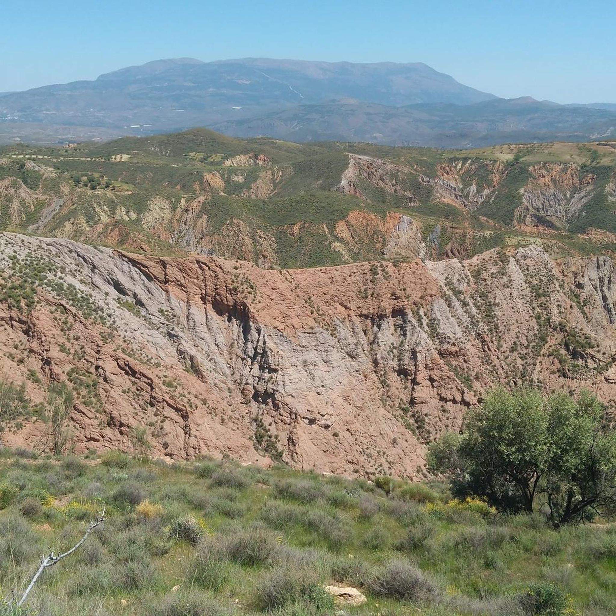
Road Cycling Routes around Alpujarra De La Sierra
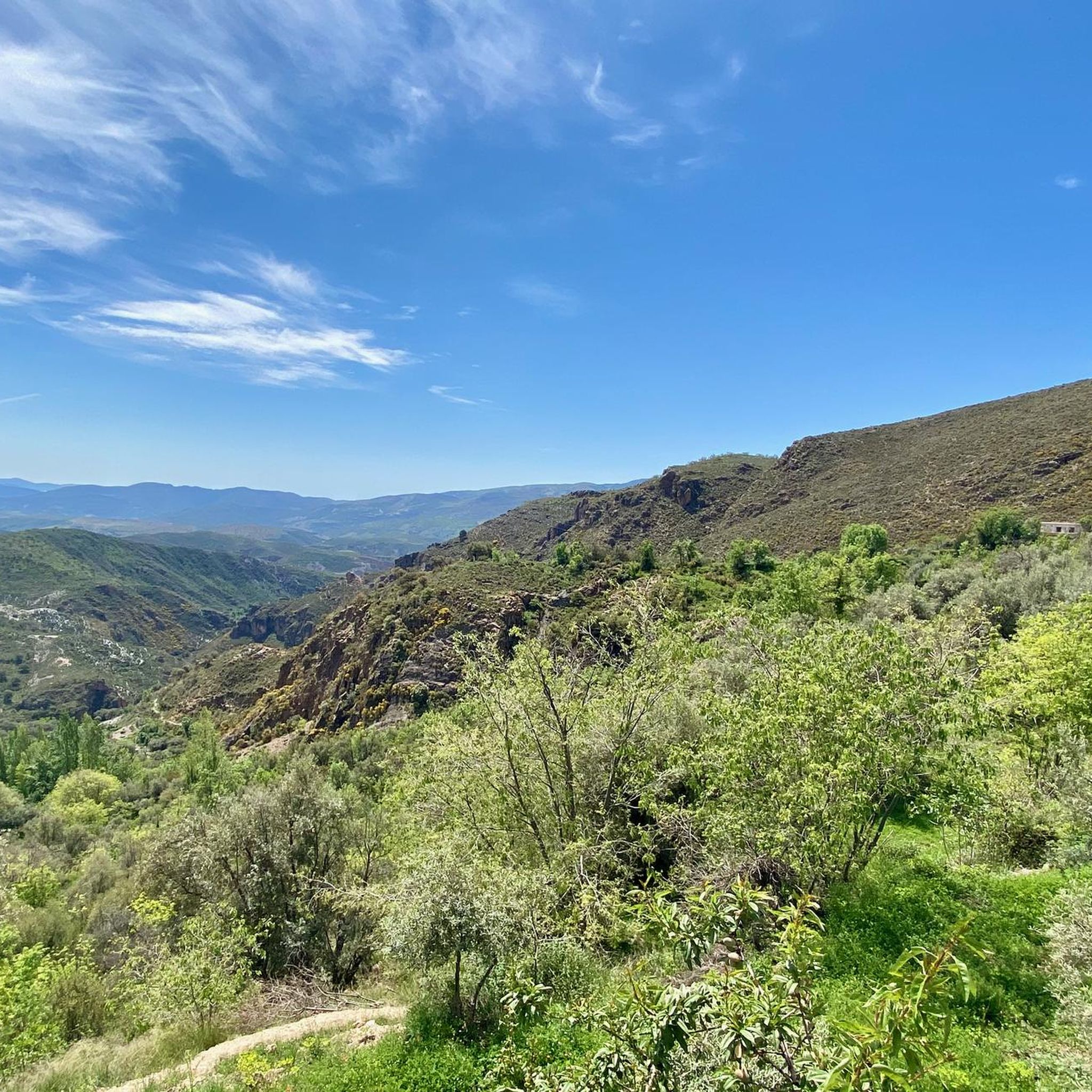
Hiking around Alpujarra De La Sierra
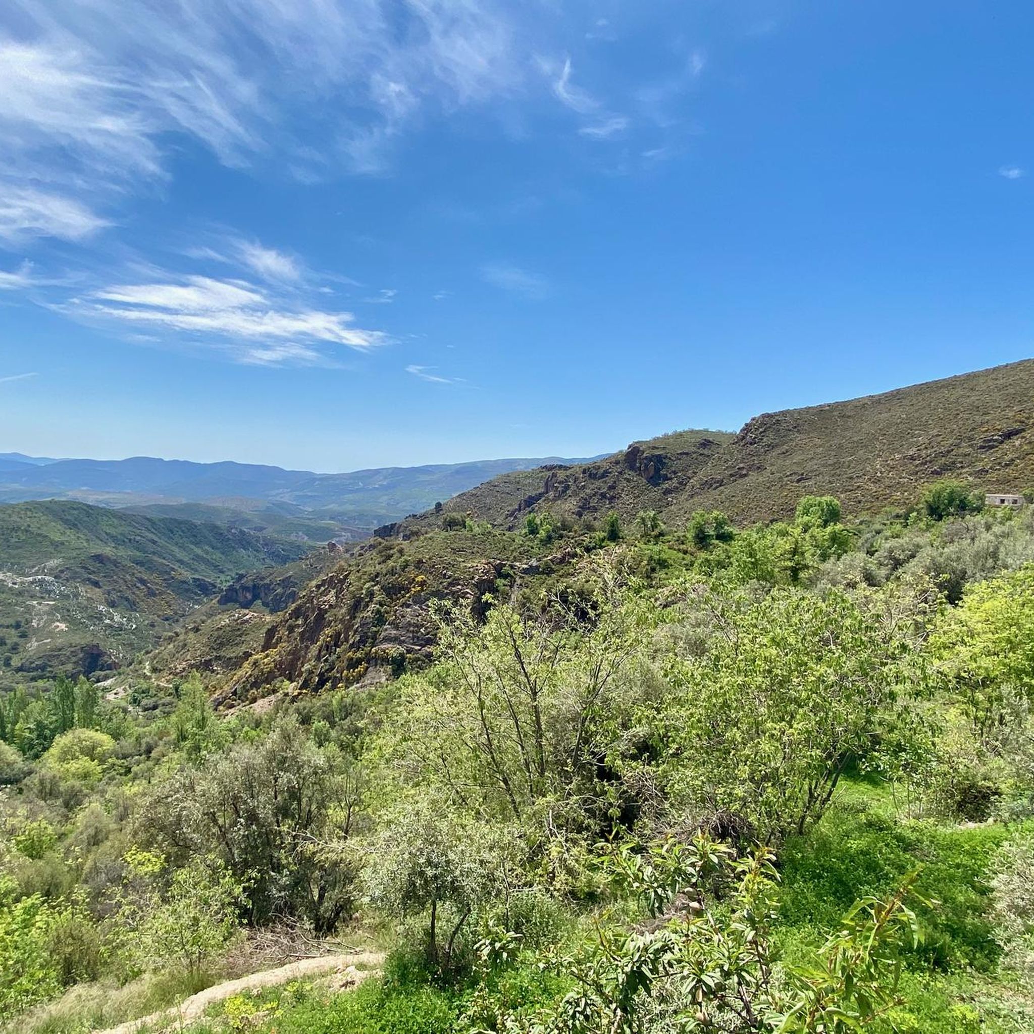
Cycling around Alpujarra De La Sierra
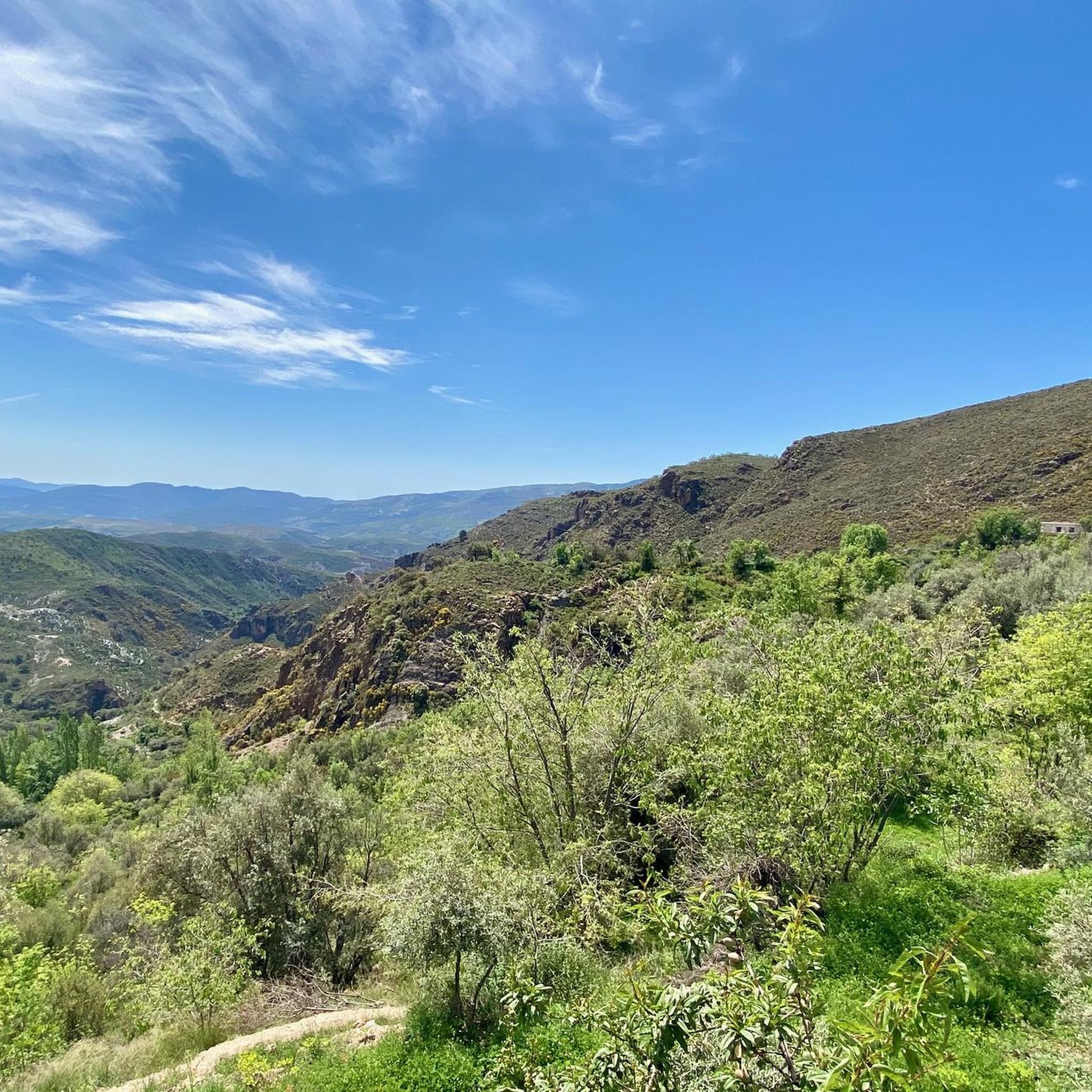
MTB Trails around Alpujarra De La Sierra

Gravel biking around Alpujarra De La Sierra
Other adventures around Alpujarra De La Sierra

Tips from the Community

This hike is really tough: -very poorly signposted -inaccurate komoot navigation -long, constant ascent, 560 meters of altitude gain -during the ascent, you have to climb a section on scree, for me even on hands and knees -the descent goes for a long time over scree, loose slate, along a very narrow path next to the ravine -we took 8 hours for it..(got lost for a bit and had to turn back to find the right path again) -tip: look for the 'stone men', so you can still orient yourself now and then
0
0

No problem at all with the north way, really nice landscape; 1h30 in running
2
0

An effort "on par" with the views of the main peaks of the Sierra Nevada massif.
0
0

The Puerto de la Ragua marks the border between the provinces of Granada and Almería. The Sierra Nevada stretches on both sides, with the 3000m peaks on the Granada side. The highest mountain in the province of Almería, El Chullo, is, however, easily accessible from the Puerto de la Ragua. The Puerto de la Ragua is just over 2000m.
0
0

There is no fixed route on the terrain along this whole stretch of the ridge, nor are there any landmarks. You can go either way, keeping the direction towards the slope of Cerro Pelado. The summit is another pile of slate, schist and coloured graphite at the highest point of the mountain. It is the best viewpoint of the massif that begins at Puntal de Vacares and continues along the cliffs and ridges of Alcazaba and Mulhacén. The descent returns along the same path to avoid the steep eastern face of Cerro Pelado, about two hundred metres, and when the terrain is comfortable for descending along the slopes, you must head east along the large valley formed by the source of the river Trévelez.
0
0
The route continues along the summit of Puntal de Juntillas, which consists of a pile of stones with views of the eastern slope of the central sector of Sierra Nevada. To advance towards the next three thousand meters, you have to change course slightly and continue towards the southeast downhill. The descent is gentle, giving you the sensation of changing summits.
0
0


One of the few asphalt passes over 2,000m in the region. You just have to take it with you, even if it's not particularly "exciting" IMHO.
2
0
Frequently Asked Questions
What are some of the most notable mountain peaks in the Alpujarra de la Sierra region?
The Alpujarra de la Sierra region offers access to several impressive peaks within the Sierra Nevada. Among the most notable are Mulhacén, the highest in peninsular Spain, known for its stunning panoramic views; Veleta, the second highest, featuring Europe's highest paved road for accessibility; and Alcazaba, which provides a more challenging and secluded mountaineering experience. Additionally, the area includes La Ragua Pass, a popular cycling and bird-watching spot, and Peñabón, a classic ascent from Trevélez.
What kind of views can I expect from the mountain peaks in Alpujarra de la Sierra?
The mountain peaks in Alpujarra de la Sierra offer magnificent viewpoints. From the summit of Mulhacén, on clear days, you can see the Filabres Sierra, the Vega de Granada, the coast of Almería, and even the coast of Morocco. Veleta provides sweeping views of Granada and other high peaks of the Sierra Nevada, potentially extending to Africa. Cerro Pelado 3,182 m is also highlighted as an excellent viewpoint for the main peaks of the Sierra Nevada massif.
Are there accessible mountain peaks for hikers of varying skill levels?
Yes, the region caters to various skill levels. The southern slopes of Mulhacén are considered accessible for all types of hikers, especially from spring onwards as snow melts. Veleta also offers an enriching blend of accessibility and majesty, suitable for hikers and cyclists, partly due to the highest paved road in Europe reaching up to 3,100 meters. For more challenging experiences, Alcazaba provides varied terrain for walking, scrambling, and technical climbing.
What are the best times to visit the mountain peaks in Alpujarra de la Sierra for hiking?
The best time to visit for hiking generally depends on the peak and your experience level. For peaks like Mulhacén, the ascent via the southern flank is most accessible from spring onwards as snow melts. The region benefits from a long climbing season due to its southern latitude. Winter conditions on higher peaks like Alcazaba often require crampons and other specialized gear.
What natural features can I observe on the trails around Alpujarra de la Sierra's mountains?
The trails offer diverse natural features. You can find varied ecosystems and opportunities to spot wildlife such as Spanish ibex, golden eagles, and griffon vultures, particularly around peaks like Veleta and Alcazaba. The area around Alcazaba also features the scenic Siete Lagunas (Seven Lakes). La Ragua Pass is known as a privileged place for bird watching.
Are there family-friendly hiking options among the mountain peaks?
While many of the highest peaks present significant challenges, the region offers options for various abilities. The southern slopes of Mulhacén are considered accessible for general hiking, which can be suitable for families with some hiking experience. For specific family-friendly routes, it's advisable to explore the broader network of trails in the Alpujarra region, which includes paths connecting picturesque white villages.
What outdoor activities can I do near the mountain peaks in Alpujarra de la Sierra?
Beyond peak bagging, the area around Alpujarra de la Sierra is excellent for various outdoor activities. You can find numerous hiking trails, including moderate options like the 'Health Trail' or more difficult ones such as the 'Mecina Bombarón, Yegen, and Golco Circular'. The region is also popular for cycling, with challenging road cycling routes like the 'Scenic Mountain Pass – Puerto de Haza del Lino loop' and gravel biking opportunities. You can explore more options in the Hiking around Alpujarra De La Sierra guide or the Gravel biking around Alpujarra De La Sierra guide.
What are some challenging mountain routes for experienced hikers in the region?
For experienced hikers seeking a challenge, Alcazaba offers a more isolated and demanding experience with varied terrain for scrambling and climbing, especially its impressive north face. Cerro Pelado 3,182 m and Puntal de Juntillas 3,143 m are also described as challenging summits. The ascent of Morrón Sanjuanero (2,610 m) involves a demanding, steep slope.
What historical significance do some of the peaks hold?
Some peaks carry historical significance. For instance, Mulhacén is named after Abu'l-Hasan Ali (Muley Hacén), a 15th-century Nasrid ruler of Granada, who, according to legend, was buried on its summit. The name Veleta comes from the Arabic word 'Balata' meaning 'cliff', referring to its impressive faces. The broader Alpujarra region itself is known for its unique cultural heritage and traditional architecture.
What do visitors particularly enjoy about the mountain peaks around Alpujarra de la Sierra?
Visitors appreciate the stunning natural surroundings and magnificent viewpoints offered by the peaks. The challenging climbs and varied terrain cater to different skill levels, from accessible hikes on Mulhacén's southern slopes to technical ascents on Alcazaba. The panoramic views from summits like Veleta and Cerro Pelado 3,182 m are frequently highlighted as rewarding experiences. The region's unique cultural landscape and picturesque villages also enhance the overall experience.
Are there any specific cycling routes that incorporate the mountain passes in the region?
Yes, the region is well-known for cycling. La Ragua Pass is a first-class port that has hosted the Cycling Tour of Spain multiple times and is very popular with local cyclists. For more demanding climbs, you can find various road cycling routes, such as the 'Scenic Mountain Pass – Puerto de Haza del Lino loop', detailed in the Road Cycling Routes around Alpujarra De La Sierra guide.
Most popular routes around Alpujarra De La Sierra
Most popular attractions around Alpujarra De La Sierra

Get inspired with the komoot mobile app


Explore more
See even more amazing summits around Alpujarra De La Sierra with these guides:
