The 6 Most Amazing Peaks around El Pinós
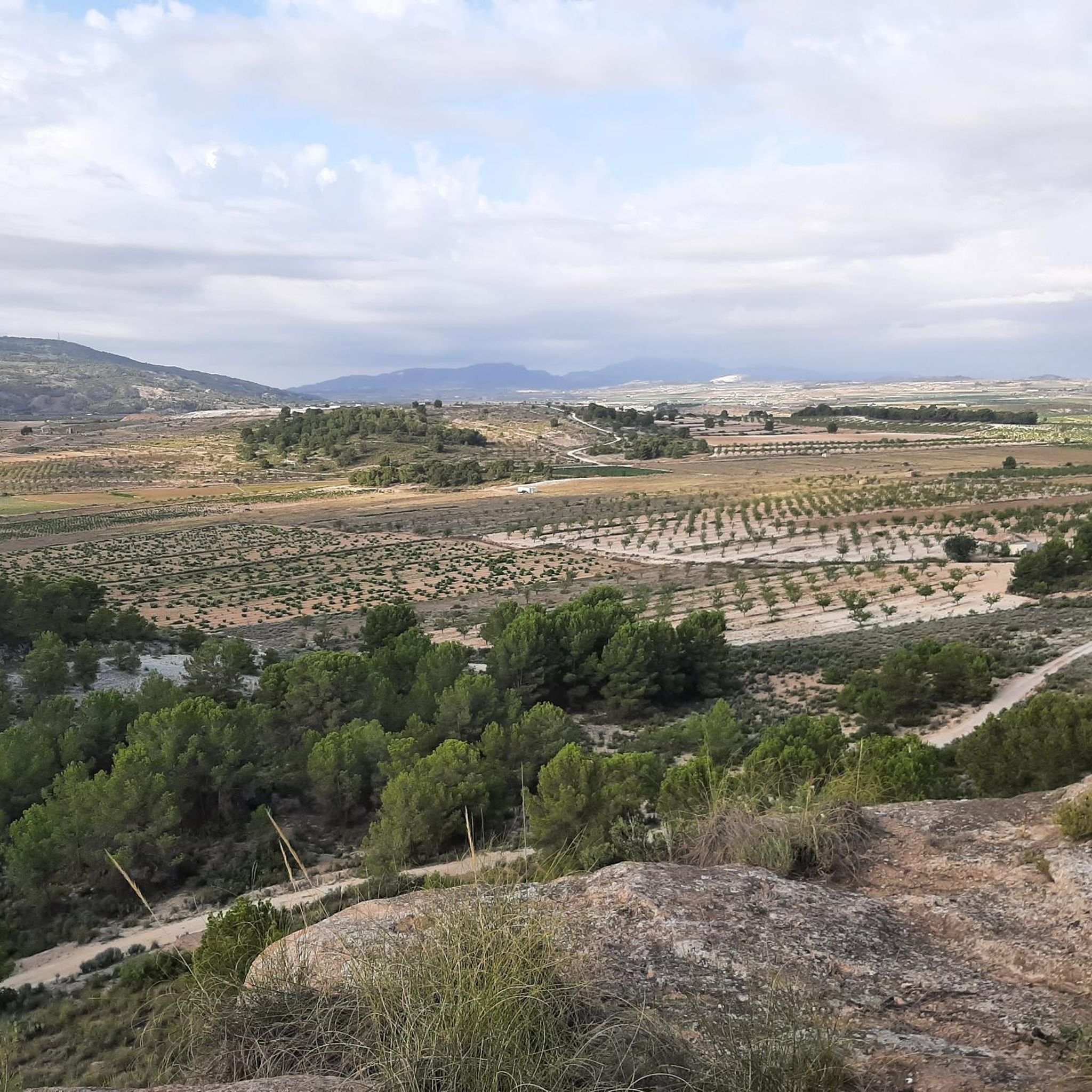
Best mountain peaks around El Pinós offer diverse opportunities for exploration in this region. The area is characterized by its mountainous terrain, providing numerous summits and viewpoints. These peaks are often part of larger mountain ranges, such as the Sierra del Carche, and feature natural monuments. Visitors can experience varied landscapes and panoramic views across valleys and arid regions.
Best mountain peaks around El Pinós
- The most popular mountain peaks is El Carche Summit and Mountain Refuge, a summit…
Last updated: October 7, 2026
El Carche Summit and Mountain Refuge
Highlight • Summit
Translated by Google •
Tip by

Geodetic Vertex of La Capilla
Highlight • Summit
Translated by Google •
Tip by

Sign up now to discover places like this
Get recommendations on the best single tracks, peaks, & plenty of other exciting outdoor places.
Penya de la Mina
Highlight • Summit
Translated by Google •
Tip by

La Safra Summit
Highlight • Summit
Translated by Google •
Tip by
Pico de la Madama del Carche (1372 m) and Refugio
Highlight • Summit
Tip by

Sign up for free to discover even more peaks around El Pinós.
Already have an account?
Start today with a free account
Your next adventure awaits.
Popular around El Pinós
A ride through the "Huerta de Europa" – Transmurciana on MTB
Discover Alicante – Costa Blanca Inland Path (GR 330)
A journey full of discoveries – the Valencia region on foot (GR7)
Alicante's inland paradise by bike – Iron Gravel 360
Cycling around El Pinós
Road Cycling Routes around El Pinós
MTB Trails around El Pinós
Hiking around El Pinós
Running Trails around El Pinós
Other adventures around El Pinós


Tips from the Community

Pico de la Madama is the highest peak in the Sierra del Carche mountain range in southeastern Spain, near the towns of Jumilla and Yecla in the Murcia region. The mountain reaches an altitude of approximately 1,371 meters and lies within the protected Sierra del Carche Regional Park. The summit is a popular destination for hikers and mountain bikers. Several forest roads and trails lead to the top. Near the summit, there is a viewpoint, a small bivouac shelter, and even a launch site for paragliders and hang gliders. From the top, there are sweeping views across the arid landscape of the Murcia region.
0
1

Great views and when the wind blows, it really blows. It is worth the effort and the reward is a good lunch with great views.
1
0

The Geodetic Vertex of La Capilla is a geographical reference point that marks an exact position on the ground. These vertices are used to construct topographic maps and establish precise coordinates.
4
1

The ascent to Penya de la Mina can be done from La Romana, La Canalosa or from La Alguenya. The three magnificent routes.
1
1

From La Madama del Carche and the Refugio, there are magnificent views of all the surrounding mountains like El Buey, La Pila etc
2
0

Very nice section of this route! Top location, beautiful view. Take a short stop and capture the perspectives. It's worth it!
1
0

Penya de la Mina is a mountain with a height of 1053 meters. Ascender hasta su cumbre offers beautiful views of the steep Sierra de Crevillent.
1
0

beautiful 360° view
1
0
Frequently Asked Questions
What are some highly-rated mountain peaks to visit around El Pinós?
Visitors frequently enjoy El Carche Summit and Mountain Refuge, which offers amazing views of the Altiplano de Murcia valleys from 1370 meters. Another popular spot is the Geodetic Vertex of La Capilla, known for its beautiful 360° views, and La Safra Summit, providing nice views from 843 meters above sea level.
Are there any mountain peaks with refuges or huts for overnight stays near El Pinós?
Yes, both El Carche Summit and Mountain Refuge and Pico de la Madama del Carche (1372 m) and Refugio offer mountain refuges where you can stay overnight, allowing you to experience wonderful sunsets and sunrises from the summit.
What kind of views can I expect from the mountain peaks in El Pinós?
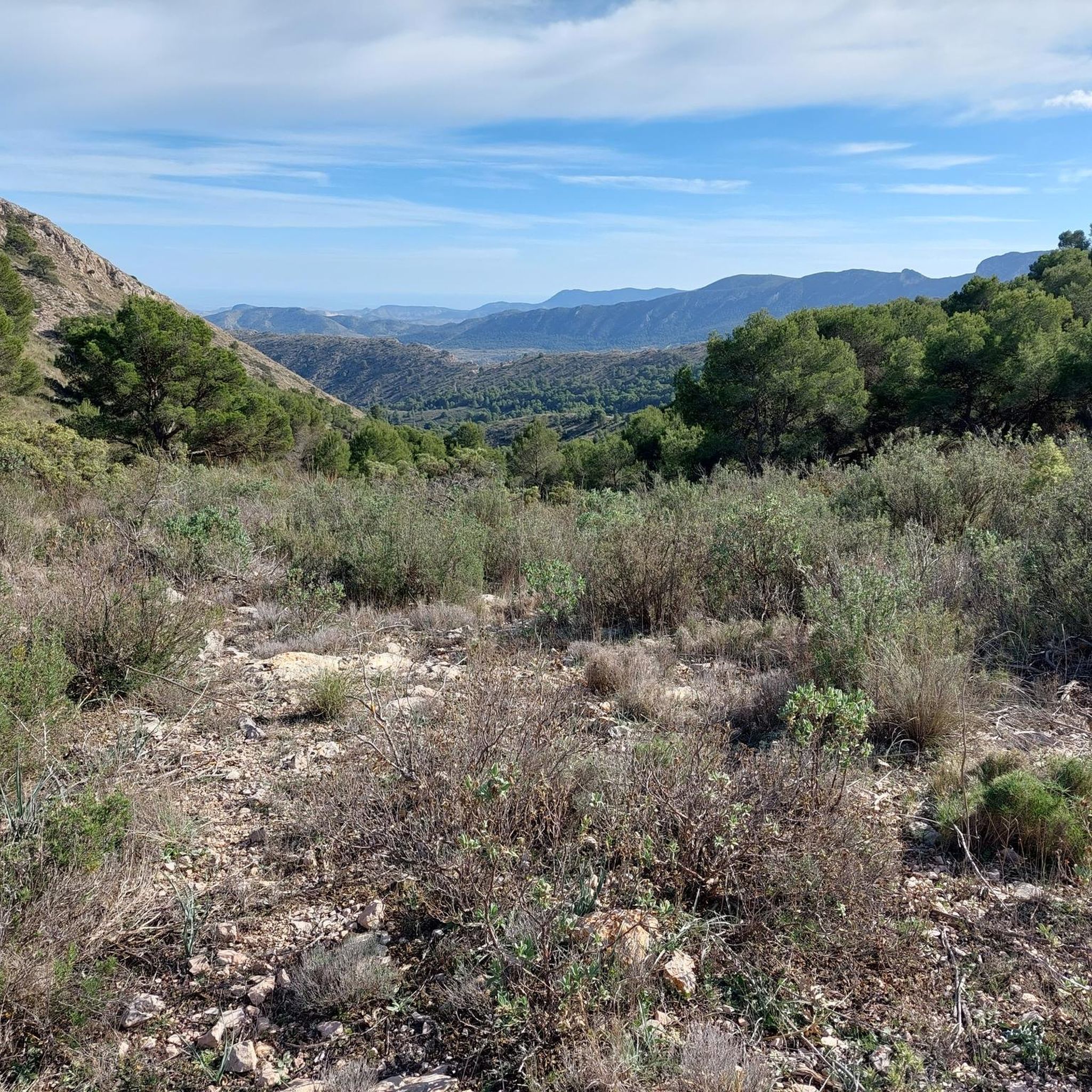
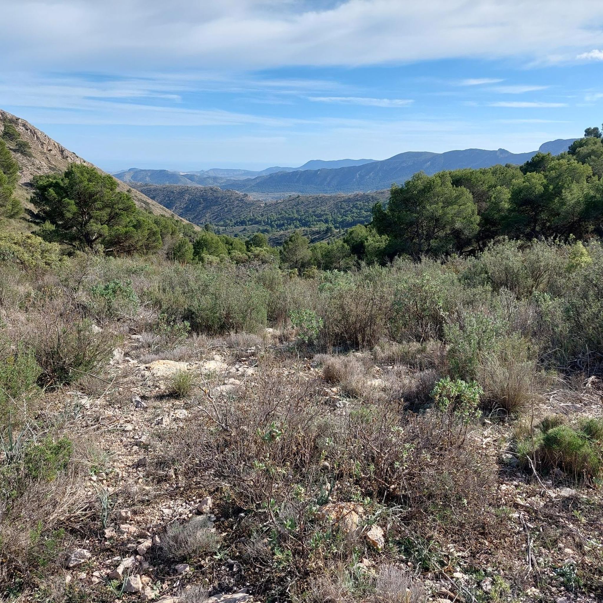
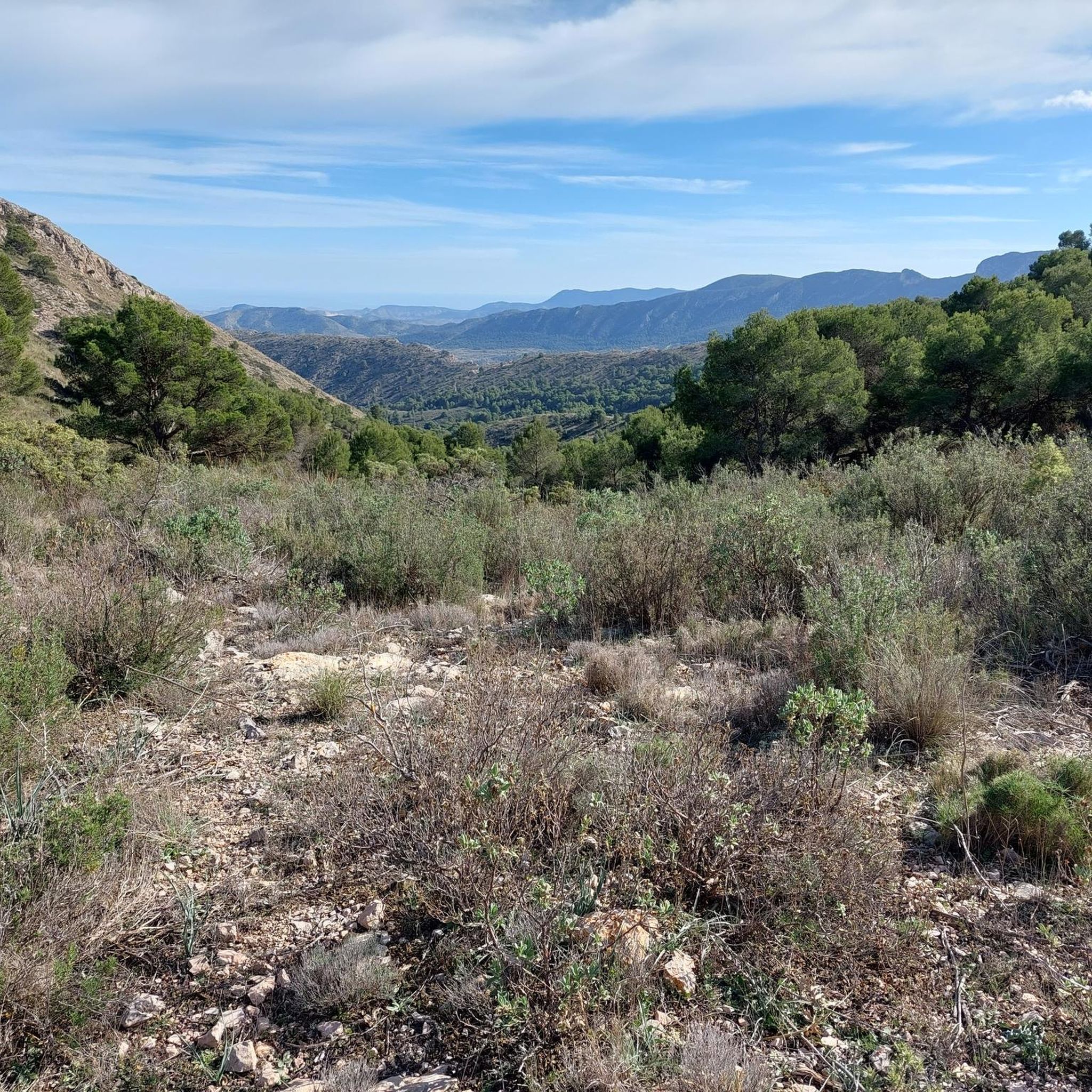
From the peaks around El Pinós, you can expect panoramic views across the valleys of the Altiplano de Murcia, arid landscapes, and surrounding mountain ranges like the Sierra del Carche. Many summits, such as the Geodetic Vertex of La Capilla, offer stunning 360° vistas.
What outdoor activities can I do near the mountain peaks around El Pinós?
The region offers diverse outdoor activities. You can find numerous routes for hiking, including easy to difficult trails. There are also extensive options for road cycling and challenging MTB trails, often leading to or around the peaks.
Are there easy or beginner-friendly mountain routes in the El Pinós area?
While many routes to the peaks are rated intermediate, there are easier sections and alternative paths available. For general hiking, you can find easy routes like the 'Clock Tower loop from el Pinós / Pinoso' within the broader Hiking around El Pinós guide, which might offer less strenuous options near the peaks.
What is the best time of year to hike the peaks around El Pinós?
Given the region's climate, the best time to hike the peaks around El Pinós is typically during spring (March to May) and autumn (September to November). Temperatures are milder and more comfortable for outdoor activities, avoiding the intense heat of summer and potential colder conditions in winter.
Are there any natural monuments among the peaks near El Pinós?
Yes, the Geodetic Vertex of La Capilla is recognized as a natural monument. Additionally, Pico de la Madama del Carche is located within the protected Sierra del Carche Regional Park, highlighting its natural significance.
What should I bring when hiking to the peaks in El Pinós?
When heading to the peaks, it's advisable to bring plenty of water, especially given the arid regions. Suitable footwear is essential, and walking sticks can be helpful on varied terrain. For longer excursions or overnight stays at refuges, plan accordingly with appropriate gear.
Can I find circular walks around the mountains in El Pinós?
Yes, many routes in the area are designed as loops. For instance, within the Hiking around El Pinós guide, you can find circular routes like the 'View of Pinoso – El Pinós Town Center loop' or the 'Clock Tower loop', which allow you to explore the mountain surroundings without retracing your steps.
What makes Penya de la Mina a notable peak to visit?
Penya de la Mina, standing at 1053 meters, offers beautiful views of the steep Sierra de Crevillent. It's accessible from several starting points like La Romana, La Canalosa, or La Alguenya, each providing magnificent routes to its summit.
What do visitors appreciate most about the mountain peaks around El Pinós?
The komoot community appreciates the diverse landscapes and panoramic views offered by the peaks. Visitors highlight the amazing vistas from summits like El Carche Summit and the varied, entertaining paths leading to destinations like La Safra Summit.
Most popular attractions around El Pinós

Get inspired with the komoot mobile app


Explore more
See even more amazing summits around El Pinós with these guides:
