The 7 Most Amazing Peaks around La Font D'En Carròs
Mountain peaks around La Font D'En Carròs are characterized by the Sierra Gallinera range, offering elevated areas rather than towering peaks. The region provides diverse hiking opportunities through Mediterranean landscapes, including pine forests and aromatic plants. These elevated points serve as natural borders between municipalities and offer extensive views of the surrounding areas. The landscape is ideal for those seeking moderate trails and panoramic vistas.
Best mountain peaks around La Font D'En Carròs
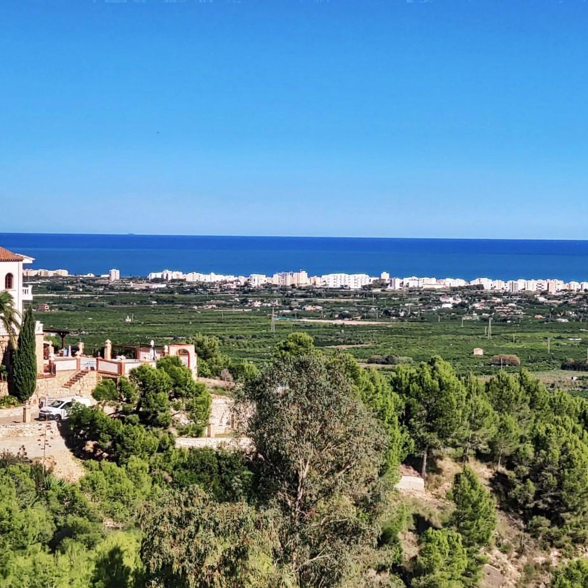
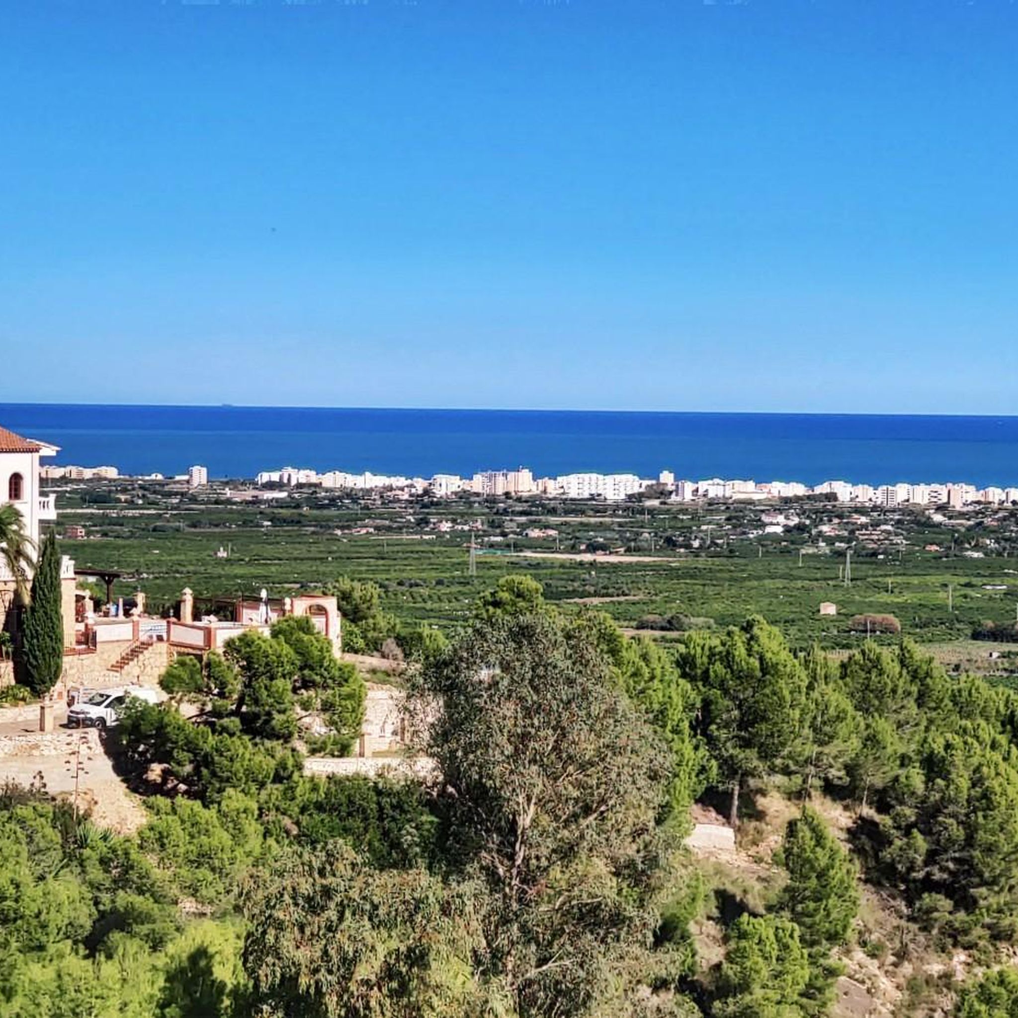
- The most popular mountain peaks is Covatelles Summit, a summit that acts as a natural border and is marked by a geodesic vertex. It is known for its moderate hiking trails and extensive panoramic views across the Mediterranean coast and surrounding mountain ranges.
- Another must-see spot is Cim de la Safor (1,013 m), a challenging summit. Hikers can experience a steep climb leading to a prominent high point, rewarded with great views of the La Safor and Marina Alta areas.
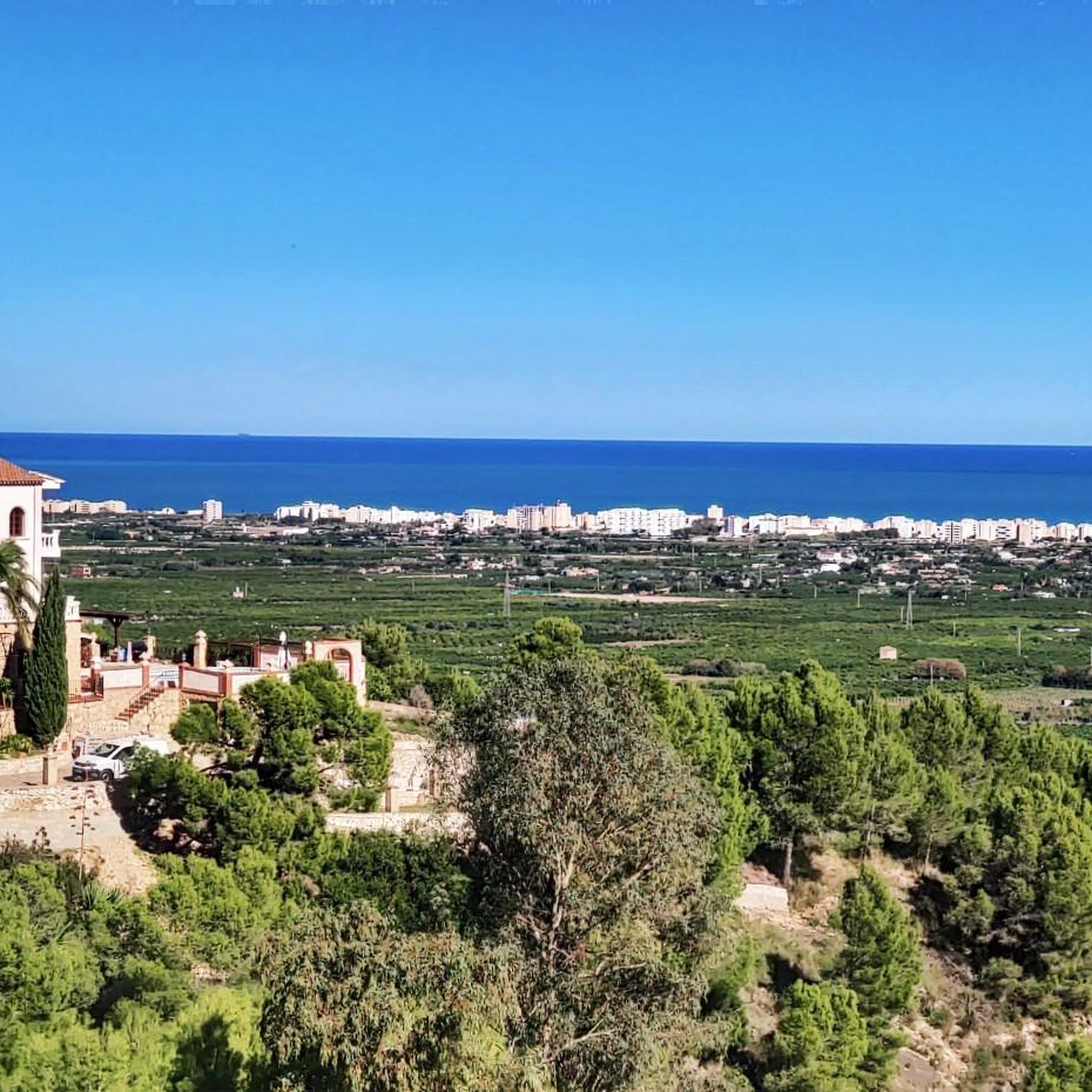
- Visitors also love Molló de la Falconera, a viewpoint also called Molló de la Creu or V.G. de la Falconera. It offers spectacular views, including Cim de Mondúver and the coast of Gandía.
- La Font D'En Carròs is known for its diverse elevated areas, including summits and viewpoints. These range from moderate hiking destinations like Cim de Covatelles to more challenging ascents such as Cim de la Safor.
- The mountain peaks around La Font D'En Carròs are appreciated by the komoot community, with 49 upvotes and 15 photos shared by users.
Last updated: October 20, 2026
Cim de la Safor (1,013 m)
Highlight • Summit
Translated by Google •
Tip by

Covatelles Summit
Highlight • Summit
Translated by Google •
Tip by

Sign up now to discover places like this
Get recommendations on the best single tracks, peaks, & plenty of other exciting outdoor places.
Molló de la Falconera
Highlight • Viewpoint
Translated by Google •
Tip by

El Miserat (Pico Xilibre) Summit
Highlight • Summit
Tip by

Ascent to Miserat / Pico Xilibre from Adsubia
Highlight (Segment) • Climb
Translated by Google •
Tip by

Sign up for free to discover even more peaks around La Font D'En Carròs.
Already have an account?
Start today with a free account
Your next adventure awaits.

Tips from the Community

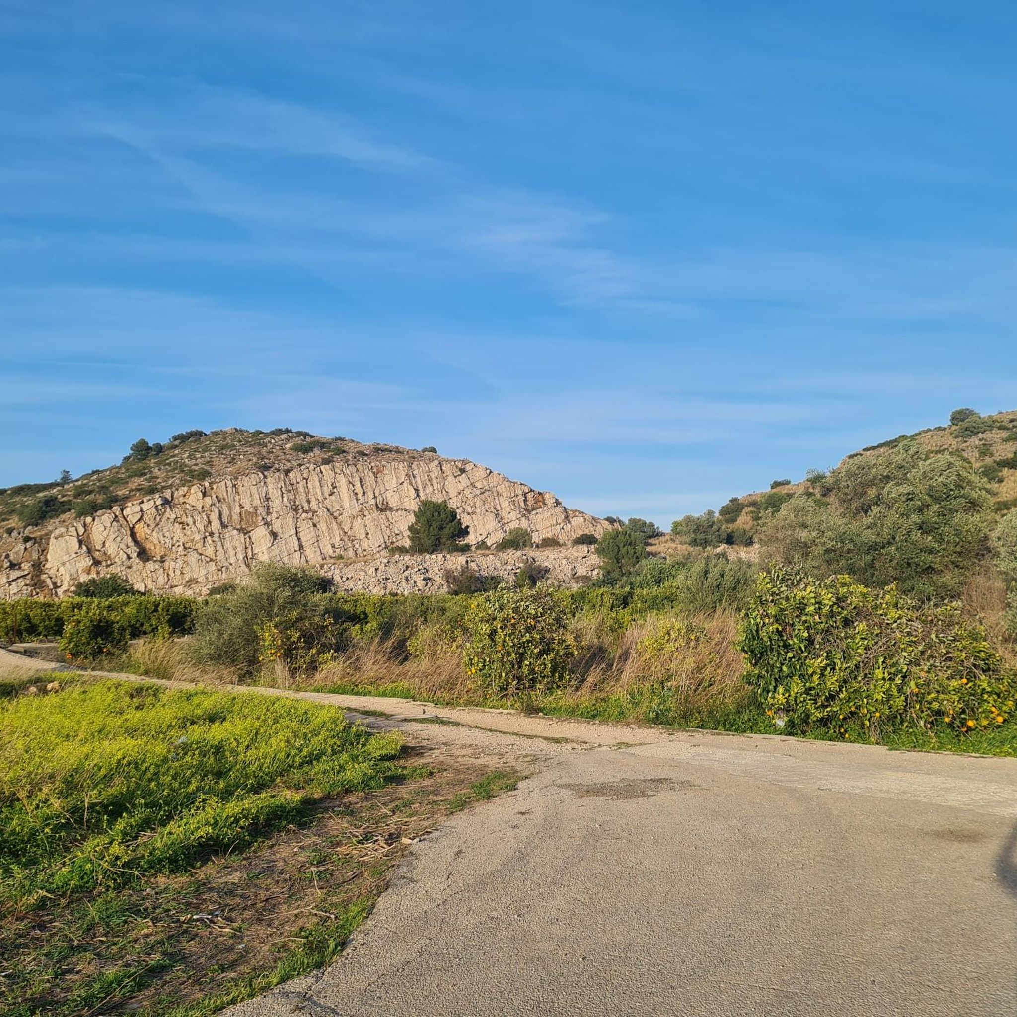
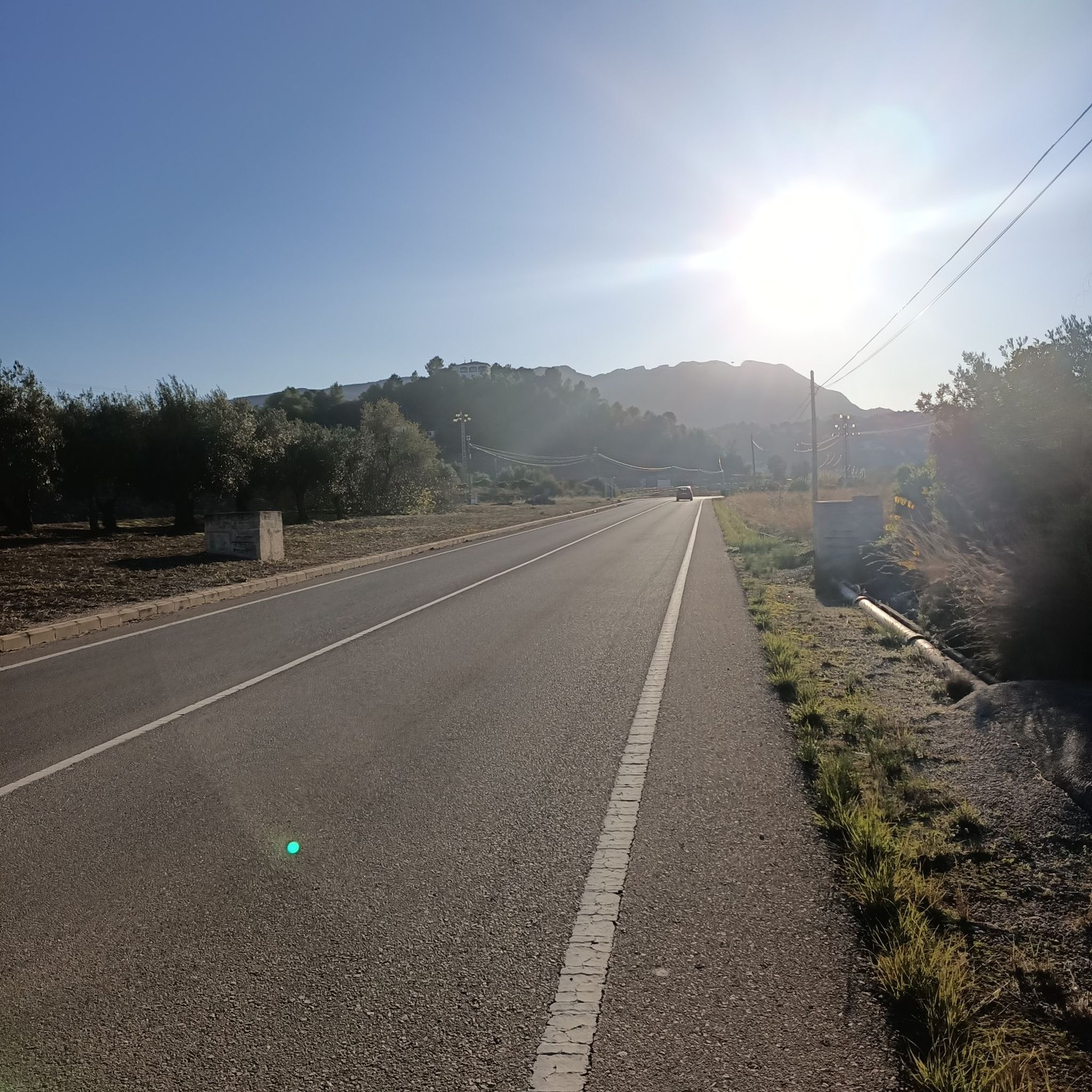
At the bottom of L’Atzúbia is Carrer Nou, which is nothing more than the concreted Barranc de Mostalla. In fact, with heavy rain it becomes a torrent again. There is no signage, but there is only one road that starts upwards. At the detour towards the antennas, it is closed due to "works". For the moment, no works are visible, and you can pass by the side of the "gate". The path to the summit is in perfect condition. face: ADSUBIA Altitude: 753 Elevation gain: 663 Length: 6.26 Avg %: 10.60 Max %: 22
0
0
At the lower part of L’Atzúbia is Carrer Nou, which is nothing more than the concreted Barranc de Mostalla. In fact, with heavy rain it becomes a torrent again. There is no signage, but there is only one road that starts upwards. At the detour towards the antennas, it is closed due to "works". For the moment, no works are visible, and you can pass by the side of the "gate". The path to the summit is in perfect condition. watershed: ADSUBIA Altitude: 753 Elevation gain: 663 Length: 6.26 Average gradient: 10.60% Max. gradient: 22
0
0

With some slopes reaching almost 20%, this beautiful six-kilometer climb takes you up 665 meters of elevation gain, pedaling along a concrete track to the observatory.
1
0

Ride to this summit from l’Atzúbia - the hardest climb you’ll ever have done but oh so rewarding! Cat 1, 6.2km @ 10.7% average (maximum 21%)
0
0

From the TOP of the mountain one can have great view of La SAFOR and MARINA ALTA areas (nice view of Gandia and Oliva towns). Unfortunately, due to very rich vegetation (high trees) it is not possible to enjoy a 360 degree view similar to option which one has by hiking up Montuver mountain. Short video about this hike could be found under the following link: https://www.youtube.com/watch?v=j-mfyWy6RzQ
1
0

The start of the hike is a bit frightening due to the location (rainwater drainage basins and dog excrement), but after 500 m you go into nature. The hike is well signposted and easy to do with sturdy shoes.
3
1

Molló de la Creu, also called Molló de la Falconera or V.G. de la Falconera is one of the places that every person who is in Gandía should visit. The viewpoint offers us spectacular views, we can see the impressive Cim de Mondúver and the coast of Gandía on the other side. You can return to Gandía along the same path or, if you are an experienced hiker, take the circular route, but keep in mind that the descent is very steep.
3
0

Steep climb. Will be rewarded with a great view
1
0
Frequently Asked Questions
What kind of views can I expect from the mountain peaks around La Font D'En Carròs?
The mountain peaks in this region, particularly Covatelles Summit and Molló de la Falconera, offer spectacular panoramic views. You can see across a significant portion of the Mediterranean coast, including towns like Cullera and the coastal areas of La Safor. On clear days, views can extend as far as Montgó and Cape San Antonio. Inland, you'll see the Safor, Benicadell, Mondúber, and Serra Grossa mountain ranges.
Which mountain peaks offer the most rewarding hiking experiences for moderate difficulty?
For a moderate hike with great rewards, consider Covatelles Summit. The ascent is generally considered moderate, and popular routes like the "Ruta dels Assagadors i Cim de Covatelles (PR-CV 347)" offer a journey through serene paths with abundant Mediterranean vegetation. The nearby Puig del Frare is also often included in circular routes with Covatelles, providing a varied experience.
Are there any challenging mountain peaks for experienced hikers in the area?
Yes, for experienced hikers seeking a challenge, Cim de la Safor (1,013 m) is a notable option. It involves a steep climb but rewards you with extensive views of the La Safor and Marina Alta areas. Another challenging option is La Safor, which features a long, technical descent with loose stones and steep sections.
What kind of natural landscape will I encounter on the trails to these peaks?
The trails leading to the mountain peaks around La Font D'En Carròs pass through a diverse Mediterranean landscape. You'll find dense pine forests, carob trees, lentisks, palmettos, and areas with aromatic plants like thyme and rosemary. Lower elevations often feature agricultural fields, primarily citrus and olive groves, adding to the scenic variety.
What is the best time of year to hike the mountain peaks around La Font D'En Carròs?
The best months for hiking in the La Safor region, including the peaks around La Font D'En Carròs, are typically during spring (March to May) and autumn (September to November). During these seasons, the temperatures are milder, and the vegetation is vibrant, offering more comfortable conditions for outdoor activities and clearer views.
Are there family-friendly mountain walks available near La Font D'En Carròs?
While specific 'stroller-friendly' trails are limited due to the mountainous terrain, many of the moderate trails, especially those leading to Covatelles Summit, can be enjoyed by families with older children who are accustomed to walking. These routes offer a combination of nature, panoramic views, and tranquility, making them suitable for a family outing.
Are the mountain trails dog-friendly around La Font D'En Carròs?
Many trails in the region are generally dog-friendly, allowing you to enjoy the natural surroundings with your pet. However, it's always advisable to keep dogs on a leash, especially in areas with wildlife or near agricultural land, and to ensure you carry enough water for both yourself and your dog, particularly during warmer months.
What outdoor activities can I do near these mountain peaks besides hiking?
Beyond hiking, the area around La Font D'En Carròs offers excellent opportunities for cycling and running. You can find various routes, such as the "Forna Village – Covatelles Summit loop from la Font d'en Carròs" for running, or explore cycling routes like the "Santuario de Pla de Petracos – Forna Village loop from Oliva." For more details, explore the cycling guide or the running trails guide for the region.
How accessible are the trailheads by public transport or parking?
Accessibility to trailheads around La Font D'En Carròs is primarily by car, with parking often available near the starting points of popular routes. Public transport options directly to specific trailheads may be limited, so planning your journey with a personal vehicle is generally recommended for convenience.
What do visitors enjoy most about hiking the mountain peaks in this region?
Visitors frequently highlight the spectacular panoramic views as a major draw, especially from points like Covatelles Summit, which offers vistas of the Mediterranean coast and surrounding mountain ranges. The tranquility of the trails, the diverse Mediterranean flora, and the well-signposted paths are also highly appreciated, making for a rewarding outdoor experience.
Are there any viewpoints that are particularly easy to access for great views?
While most viewpoints require some hiking, Molló de la Falconera, also known as Molló de la Creu, is a highly recommended viewpoint. It offers spectacular views, including Cim de Mondúver and the coast of Gandía. While the full circular route can be steep, reaching the viewpoint itself is a popular goal for many visitors.
What is the elevation of the highest peaks around La Font D'En Carròs?
The highest peak explicitly mentioned in the region is Cim de la Safor, which reaches an elevation of 1,013 meters. Covatelles Summit, another prominent elevated area, stands at approximately 358 to 365 meters above sea level.
Most popular routes around La Font D'En Carròs
Most popular attractions around La Font D'En Carròs

Get inspired with the komoot mobile app


Explore more
See even more amazing summits around La Font D'En Carròs with these guides:
