Top 5 Huts and Cabins around Cueva De Ágreda
Best huts around Cueva De Ágreda are situated at the foot of Moncayo, offering access to the Moncayo Natural Park. This region provides a variety of rural accommodations and mountain refuges, serving as a base for exploring extensive hiking and cycling trails. The area is a starting point for ascents to Moncayo, the highest peak in the Iberian System. Visitors can experience both natural beauty and local culture.
Best huts around Cueva De Ágreda
- The most popular huts is Santuario…
Last updated: July 3, 2026
Santuario del Moncayo Restaurant and Hostel
Highlight • Restaurant
Translated by Google •
Tip by

Majada Baja Refuge, Moncayo Natural Park
Highlight • Mountain Hut
Translated by Google •
Tip by

Sign up now to discover places like this
Get recommendations on the best single tracks, peaks, & plenty of other exciting outdoor places.
Sign up for free
Soriano Natural Water Trail
Highlight • Trail
Tip by

Valdemanzano Nature Center and Shelter
Highlight • Mountain Hut
Translated by Google •
Tip by

Cerrogordo Refuge
Highlight • Mountain Hut
Translated by Google •
Tip by

Start today with a free account
Your next adventure awaits.
Login or Signup

Tips from the Community

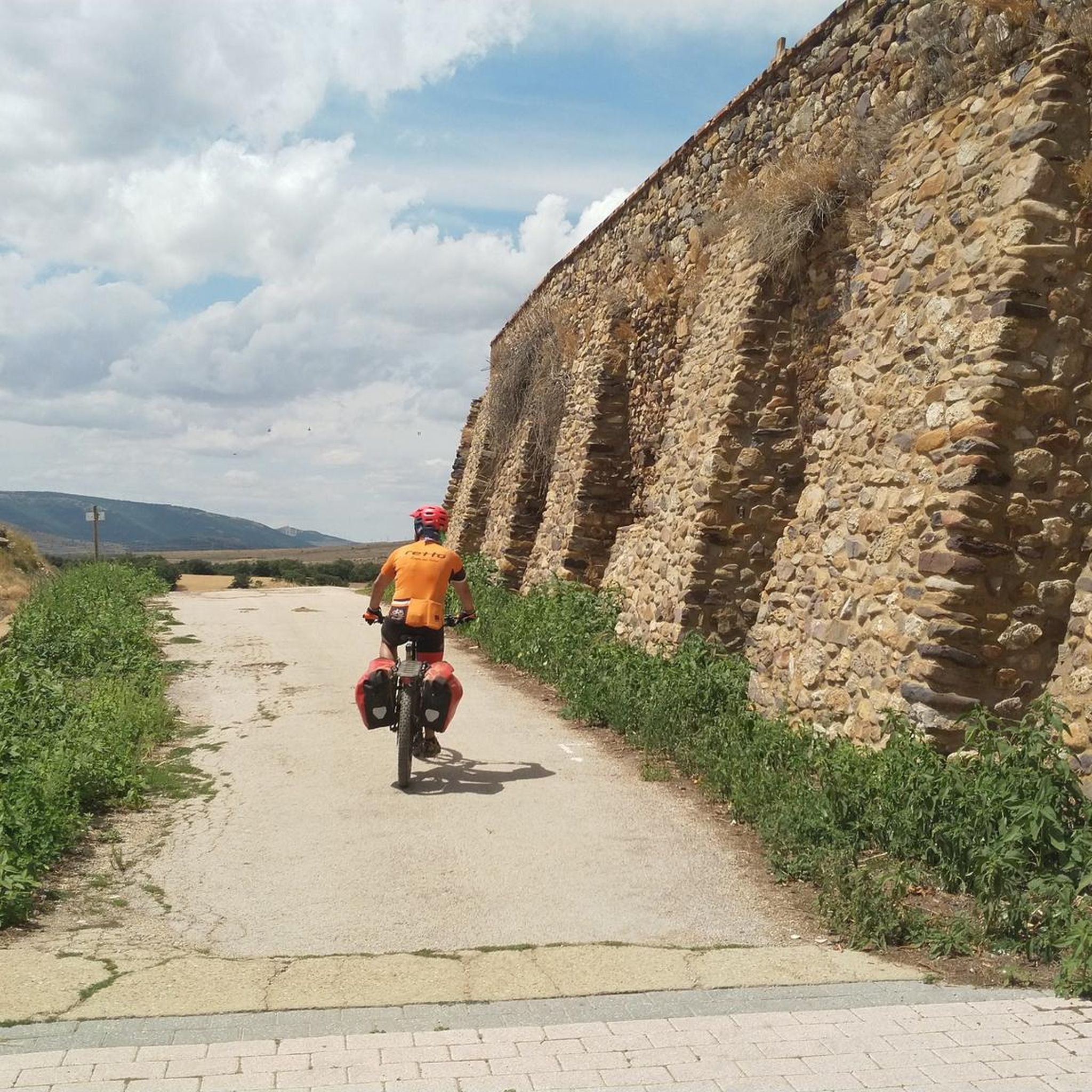
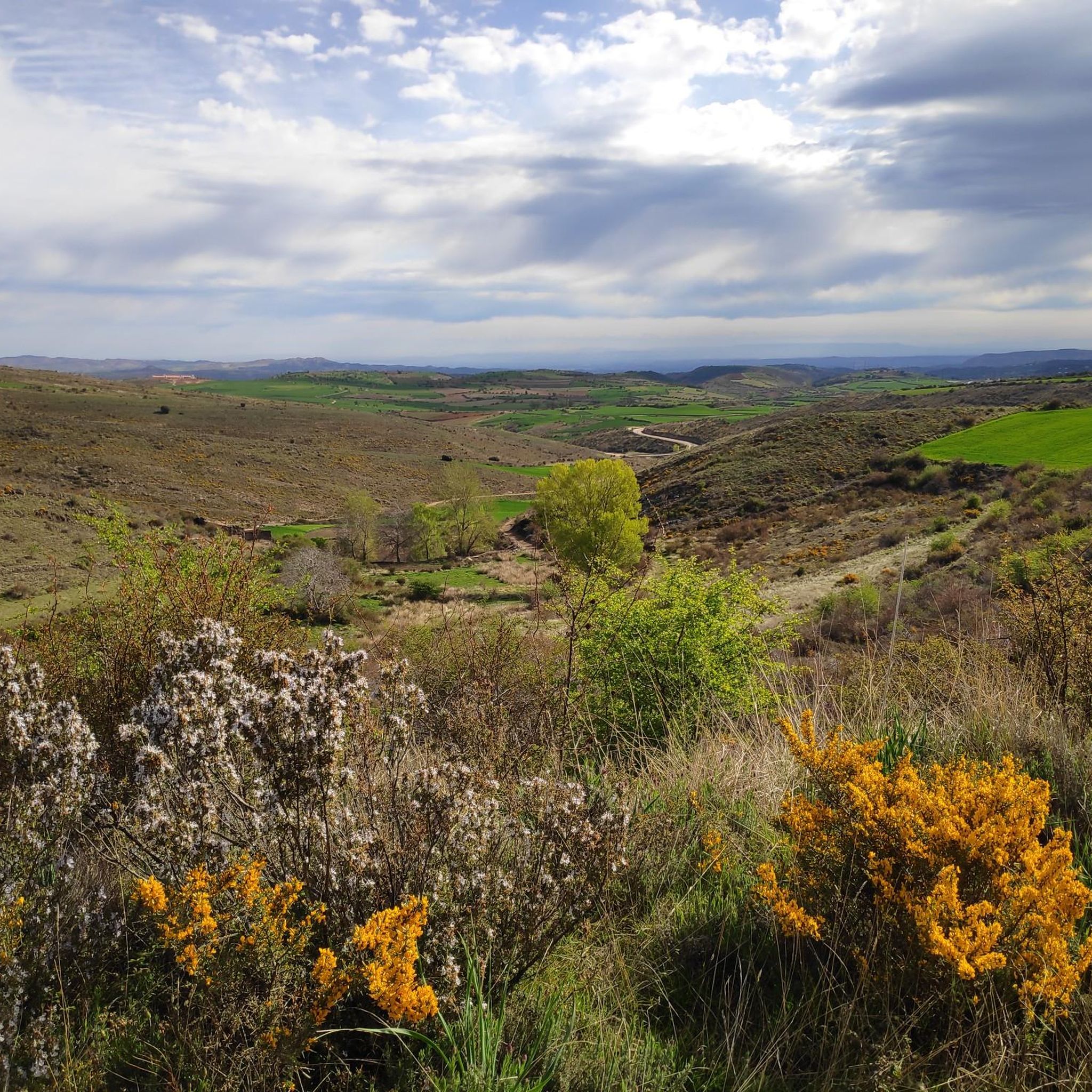
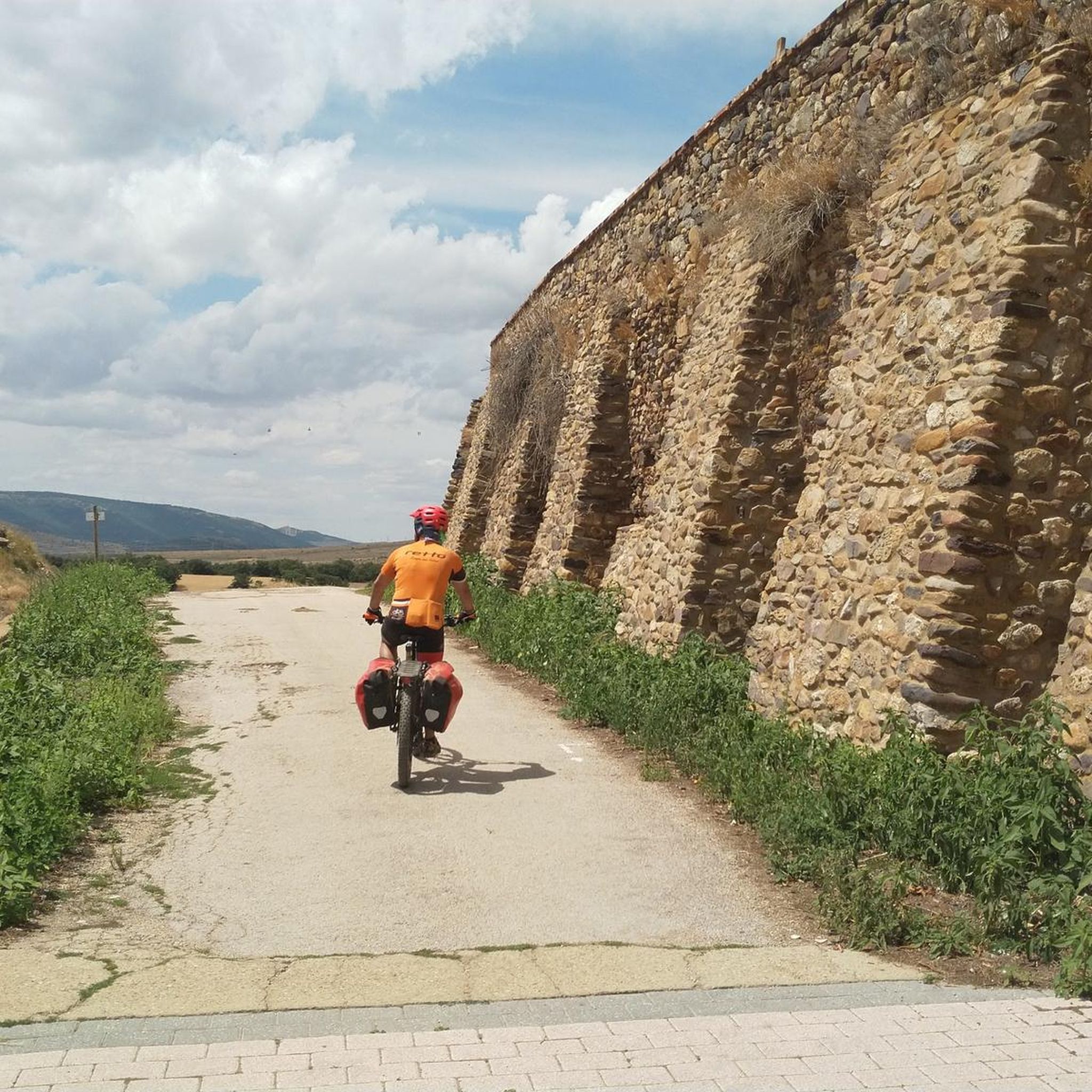
The Moncayo Natural Park crossing is an itinerary for gravel bicycles of a particular design to link with the Santander Mediterráneo Natural Path in Ciria, looking for the best circular bikepacking route back to the city of Soria. The downloaded track is essential in this section, it is impossible to specify in these texts all the detours, intersections and details with the same precision that digital information offers. The mountain bike adventure begins at the Tarazona exit, at the sign for the GR-90 long-distance trail, although it then coincides in a few sections. It is important to carry provisions for the rest of the day and the next, it is not safe to find food in the towns along the way. The route follows a farm road to Grisel and then comes the first spike of the climb in the mountains where the Grisel Wind Farm is located. The hard slope is one kilometer long until you reach the mills, but the slope is steep and the loose stone surface requires extra effort. On the hill, the enormous Moncayo slope covered with pines, oaks and beech trees appears up close. And on top of that, the peaks of the massif are like unattainable islands above a sea of mysterious and impenetrable forests. The path crosses another steep slope of loose stone and begins a long climb up a hill marked with milestones of cycling and hiking routes until it crosses the Agramonte highway and connects with the paved track of the Moncayo Sanctuary. The route continues along the small mountain road, crosses the centuries-old beech forests of Fuente del Sacristán and at the Fuente de los Frailes hairpin it turns to the left to begin the final stretch of the ascent along the forest track of Collado Bellido. In the case of spending the night in the Majada Baja Refuge, where I propose, at the end of the climb, you have to carry water at the source, then there are mountain streams but depending on the season of the year they can be dry. Along the way there are several crossings and detours, generally it is always the uphill track that runs along the entire northern slope of the Moncayo massif to go to the southern face. The climb is long and constant, it leaves the forest and continues until it passes the detour to Collado Bellido, indicated with markers on the ditch of the forest track. The end of the ascent is shortly after, at the curve of the Valdealonso stream, at about 1,900 meters of altitude, the path changes slope and the descent begins. Two kilometers later is the Majada Baja Refuge, it is a natural park refuge, well maintained and available for mountaineers, cyclists, hunters, shepherds and users of the Moncayo environmental space. The place has extraordinary views and it is difficult to pass by at dusk and not stay the night.
1
0

La ruta sale de Ágreda por el trazado del GR-86 Sendero Ibérico Soriano y antes de llegar a Fuentes de Ágreda se desvía hacia Aldehuela. La aldea es encantadora. Las casas están escondidas entre barrancos y arbolado y la única calle del lugar es bastante empinada, hay que estar pendientes del desvío de la ruta por una calleja de hierba, donde está el antiguo lavadero, y continuar por unos caminos de trabajos forestales hasta el nacimiento del río Queiles, en Vozmediano, otra sorpresa fascinante del itinerario. La llegada al pueblo sigue un antiguo sendero de herradura acondicionado para el paso de bicicletas y senderistas que termina en las casas de Vozmediano, debajo del castillo árabe y la magnífica torre del homenaje. Y después es cuando llega la bajada hacia Tarazona por el precioso valle del río Queiles. La parte disfrutona termina en Los Fayos, el primer municipio de Zaragoza, empotrado al pie de unas impresionantes murallas de conglomerados de areniscas rojas plagadas de cuevas y leyendas. Tarazona está cerca y de nuevo podría ser “todo bajada”, en cambio los hitos suben por la colina del cementerio para evitar la carretera principal. También hay flechas del Camino de Santiago. En la entrada de Tarazona está la opción de continuar de frente por el casco histórico o bajar directamente hacia el paseo del río Queiles. Las dos opciones son válidas y descubren las maravillas arquitectónicas de la ciudad, plagada de construcciones históricas, monumentos y piedras centenarias. La torre mudéjar de la iglesia de Santa María Magdalena es un icono del patrimonio artístico junto al edificio del Palacio Episcopal, es difícil pasar por Tarazona y no parar en alguna terraza de la ribera del Queiles para probar sus célebres tortas de masa contemplando el skyline de la ciudad, fusión de culturas revelada en el mensaje universal de la piedra convertida en arte y monumento. La salida de Tarazona por la popular Vía Verde de la Tarazonica es fácil, hay que pasar por la plaza de San Francisco y seguir hasta el Parque de la Estación, con cuidado de las direcciones prohibidas. El track lleva por las calles permitidas para bicicletas. El camino sigue por la vía verde hasta Tudela, un agradable paseo de una hora en bicicleta por una recta que termina en el río Ebro. El 31 de diciembre de 1885 fue una fecha histórica y emocionante para los habitantes de Tarazona, Tudela y las pequeñas poblaciones agrícolas intermedias, como Murchante, Cascante y Novallas, por fin se inauguraba una línea ferroviaria entre la comarca de Tarazona y la Ribera de Navarra, un canal esencial de comunicación y comercio que estuvo activo hasta 1972, cuando fue desmantelada la vía por falta de rentabilidad. El camino natural salva una carretera por un paso elevado y pasa por el monumento del Escachamatas, como se conocía popularmente el ferrocarril por la lentitud y los frecuentes descarrilamientos de los trenes, y termina en la estación ferroviaria de Tudela. El track sigue hasta el puente del río Ebro, con posibilidad de enlazar con el Camino Natural del Ebro GR-99 y continuar una aventura bikepacking interminable. El punto de retorno es el puente medieval del Ebro, que tiene 360 metros y 17 arcos. En la vuelta pasamos por el casco histórico, la catedral, la plaza Vieja, la Puerta del Juicio y otros rincones empedrados desde hace siglos hasta que llegamos a la estación de Renfe, tomamos de nuevo el firme de la Tarazonica y volvemos por el mismo camino hasta las calles de Tarazona. La travesía del Parque Natural del Moncayo es un itinerario para bicicletas gravel de diseño particular para enlazar con el Camino Natural Santander Mediterráneo en Ciria, buscando el mejor recorrido circular de bikepacking de vuelta hasta la ciudad de Soria. El track descargado es imprescindible en este tramo, es imposible concretar en estos textos todos los desvíos, cruces y detalles con la misma precisión que ofrece la información digital. La aventura ciclomontañera comienza en la salida de Tarazona, en el cartel del sendero de gran recorrido GR-90, aunque después coincide en pocos tramos. Es importante cargar con provisiones para el resto de la jornada y la siguiente, no es seguro encontrar víveres en los pueblos del camino. La ruta sigue un camino agrícola hasta Grisel y después llega la primera tachuela de la subida en la sierra donde está el Parque Eólico de Grisel. El repecho duro tiene un kilómetro hasta que salta los molinos pero la pendiente es elevada y el firme de piedra suelta exige un esfuerzo extra. En el collado aparece de cerca la enorme ladera del Moncayo cubierta de pinos, robles y hayas. Y encima las cumbres del macizo como islas inalcanzables sobre un mar de bosques misteriosos e impenetrables. El camino salva otro repecho de piedra suelta y comienza una larga subida por una loma marcada con hitos de rutas ciclistas y senderistas hasta que atraviesa la carretera de Agramonte y conecta con la pista asfaltada del Santuario del Moncayo. La ruta sigue por la carreterita de montaña, atraviesa los hayedos centenarios de la Fuente del Sacristán y en la horquilla de la Fuente de los Frailes se desvía por la izquierda para iniciar el tramo final de la ascensión por la pista forestal del collado Bellido. En el caso de pasar la noche en el Refugio de Majada Baja, donde propongo, al final de la subida, hay que cargar agua en la fuente, después hay arroyos de montaña pero según la estación del año pueden estar secos. En el camino hay varios cruces y desvíos, generalmente siempre es la pista de subida recorriendo toda la vertiente norte del macizo del Moncayo para pasar hacia la cara sur. La subida es larga y constante, sale del bosque y continúa hasta que pasa el desvío del collado Bellido, indicado con hitos en la cuneta de la pista forestal. El final de la ascensión está poco después, en la curva del arroyo de Valdealonso, a unos 1.900 metros de altitud, el camino cambia de pendiente y comienza el descenso. Dos kilómetros después está el Refugio de Majada Baja, es un refugio del parque natural, bien cuidado y disponible para montañeros, ciclistas, cazadores, pastores y usuarios del espacio ambiental del Moncayo. El paraje tiene unas vistas extraordinarias y es difícil pasar al caer la tarde y no quedarse a pasar la noche.
0
0

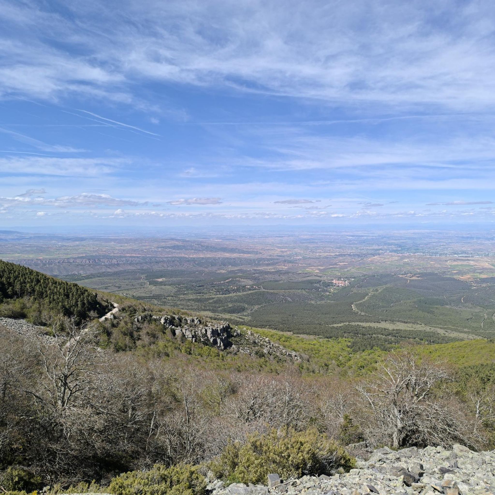
The Cerrogordo refuge, in Purujosa, is located at an altitude of 1,298 meters, in a clear area that allows you to contemplate the panoramic views of the surrounding mountains. This shelter is not guarded, but it does have a fireplace and stone benches to sit on. In addition, the residents of Purujosa have installed a sideboard inside where they can place the food that visitors leave as a provision for others who may need it.
1
0

The Cerro Gordo refuge is located at 1298 m. altitude, within the Moncayo National Park. From the refuge we will have unbeatable views of the south face of the Muela del Col cliff and its beautiful surroundings.
1
1
At this point is the Valdemanzano Nature Classroom, educational programs organized by the Government of Aragon for the youngest. Next to it we will see a shelter and an open area to be able to eat safely.
2
0

Restaurante El Santuario del Moncayo, in the heart of the natural park.
7
0

Emblematic mountain cataloged as category 1+
1
0

Good place to rest when coming down from the summit
3
0
Frequently Asked Questions
What types of huts and accommodations are available around Cueva De Ágreda?
Around Cueva De Ágreda, you'll find a variety of accommodations ranging from cozy rural houses to more rustic mountain refuges. Options include comfortable rural houses like Casa Rural Casa Martin, basic mountain refuges such as Majada Baja Refuge, Moncayo Natural Park, and even a nature center with shelter like Valdemanzano Nature Center and Shelter. These provide diverse experiences, from comfortable stays to essential bases for mountain expeditions.
Are there family-friendly huts or shelters in the Cueva De Ágreda area?
Yes, there are family-friendly options. The Valdemanzano Nature Center and Shelter is particularly suitable for families, offering educational programs and an open area for eating. Many rural houses in the region also provide comfortable amenities for family stays.
What are some notable mountain refuges for hikers in the Moncayo Natural Park?
For hikers, the Majada Baja Refuge, Moncayo Natural Park is a well-maintained mountain refuge offering extraordinary views. Another option is the Cerrogordo Refuge, an un-guarded shelter at 1,298 meters altitude, providing panoramic views and basic facilities like a fireplace and stone benches.
What outdoor activities can I do near the huts in Cueva De Ágreda?
The huts serve as excellent bases for various outdoor activities. You can enjoy extensive hiking, cycling, and mountain biking. Popular hiking routes include the Moncayo Circular Trail and ascents to Moncayo summit. For cycling, there are routes like the Winding Road Through Forest loop. Explore more options on the Hiking around Cueva De Ágreda, Cycling around Cueva De Ágreda, and MTB Trails around Cueva De Ágreda guide pages.
Are there hiking trails suitable for different difficulty levels near the huts?
Yes, the area offers trails for various difficulty levels. For example, the Moncayo Circular Trail is considered moderate, while ascents to Moncayo from Cueva de Ágreda are more difficult. You can find detailed information and routes on the Hiking around Cueva De Ágreda guide page.
When is the best time to visit Cueva De Ágreda for hut hiking?
The best time to visit for hut hiking generally depends on your preference. Spring and autumn offer pleasant temperatures for hiking. For winter hiking, be prepared for snow conditions, especially at higher altitudes in Moncayo Natural Park. Always check local weather forecasts before your trip.
Can I find places to eat or drink near the huts in Cueva De Ágreda?
Yes, you can. The Santuario del Moncayo Restaurant and Hostel is a popular spot in the heart of the natural park, offering a place to rest and eat. The village of Cueva de Ágreda itself also has cafes and pubs, and some rural accommodations may offer dining options.
What natural features can I explore from the huts in Cueva De Ágreda?
Staying in a hut provides direct access to the stunning Moncayo Natural Park. You can explore pine, oak, and beech forests, discover the source of the Queiles river, and enjoy panoramic views of the Moncayo massif. The area is rich in natural beauty, perfect for nature enthusiasts.
Are there any cultural or historical sites near the huts?
Beyond the natural beauty, Cueva de Ágreda boasts a Romanesque church from the 12th century. The region is also steeped in local legends, adding a cultural dimension to your outdoor adventure. The nearby town of Ágreda also offers historical attractions.
Are dogs allowed on trails leading to huts in Moncayo Natural Park?
While Moncayo Natural Park is generally dog-friendly, specific regulations may apply to certain trails or protected areas, especially regarding leashes. It's advisable to check the latest park regulations before bringing your dog on trails leading to huts.
What should I pack for a hut hike in Cueva De Ágreda?
For hut hikes in Cueva De Ágreda, essential items include appropriate hiking footwear, layers of clothing suitable for varying weather conditions, a waterproof jacket, sufficient water, snacks, a map or GPS device, and a first-aid kit. If staying in an un-guarded refuge, consider bringing a sleeping bag and cooking supplies.
What do visitors appreciate most about the huts in Cueva De Ágreda?
Visitors highly appreciate the direct access to nature and the extensive hiking and cycling trails offered by these accommodations. The tranquility of the village atmosphere, the balance of modern comforts with rustic settings in rural houses, and the strategic location of mountain refuges for trekkers are also frequently praised.
Are there options for those seeking tranquility and a local experience?
Absolutely. Many rural houses and guesthouses in Cueva de Ágreda, like Casa Rural Casa Martin, are located on quiet streets, offering a peaceful retreat. Staying in these local accommodations allows you to immerse yourself in the village atmosphere and experience the local culture firsthand.
Most popular routes around Cueva De Ágreda
Most popular attractions around Cueva De Ágreda

Get inspired with the komoot mobile app


Explore more
Find more beautiful huts and cabins around Cueva De Ágreda by checking out the top ones in these nearby places:
