The 6 Most Amazing Peaks around Villa De Otura
Best mountain peaks around Villa De Otura are accessible from this town, which is situated at an elevation of 813 meters above sea level. Located at the foothills of the Sierra Nevada, Villa De Otura serves as a base for exploring mountain peaks and ranges in its vicinity. The area offers diverse natural landscapes and hiking opportunities.
Best mountain peaks around Villa De Otura
- The most popular mountain peaks is La Silleta de Dílar, a summit with panoramic views.…
Last updated: July 3, 2026
Pico de la Cruz
Highlight • Summit
Translated by Google •
Tip by

La Boca de la Pescá (1518 m)
Highlight • Summit
Translated by Google •
Tip by

Sign up now to discover places like this
Get recommendations on the best single tracks, peaks, & plenty of other exciting outdoor places.
Sign up for free
La Silleta de Dílar
Highlight • Summit
Translated by Google •
Tip by

Cruz de la Atalaya
Highlight • Summit
Translated by Google •
Tip by

Ascent to Pico Veleta via Collado de las Sabinas
Highlight (Segment) • Climb
It's a spectacular, long and challenging ascent, taking you from 700 to 3,300 meters above …
Translated by Google •
Tip by

Sign up for free to discover even more peaks around Villa De Otura.
Sign up for free
Already have an account?
Start today with a free account
Your next adventure awaits.
Login or Signup
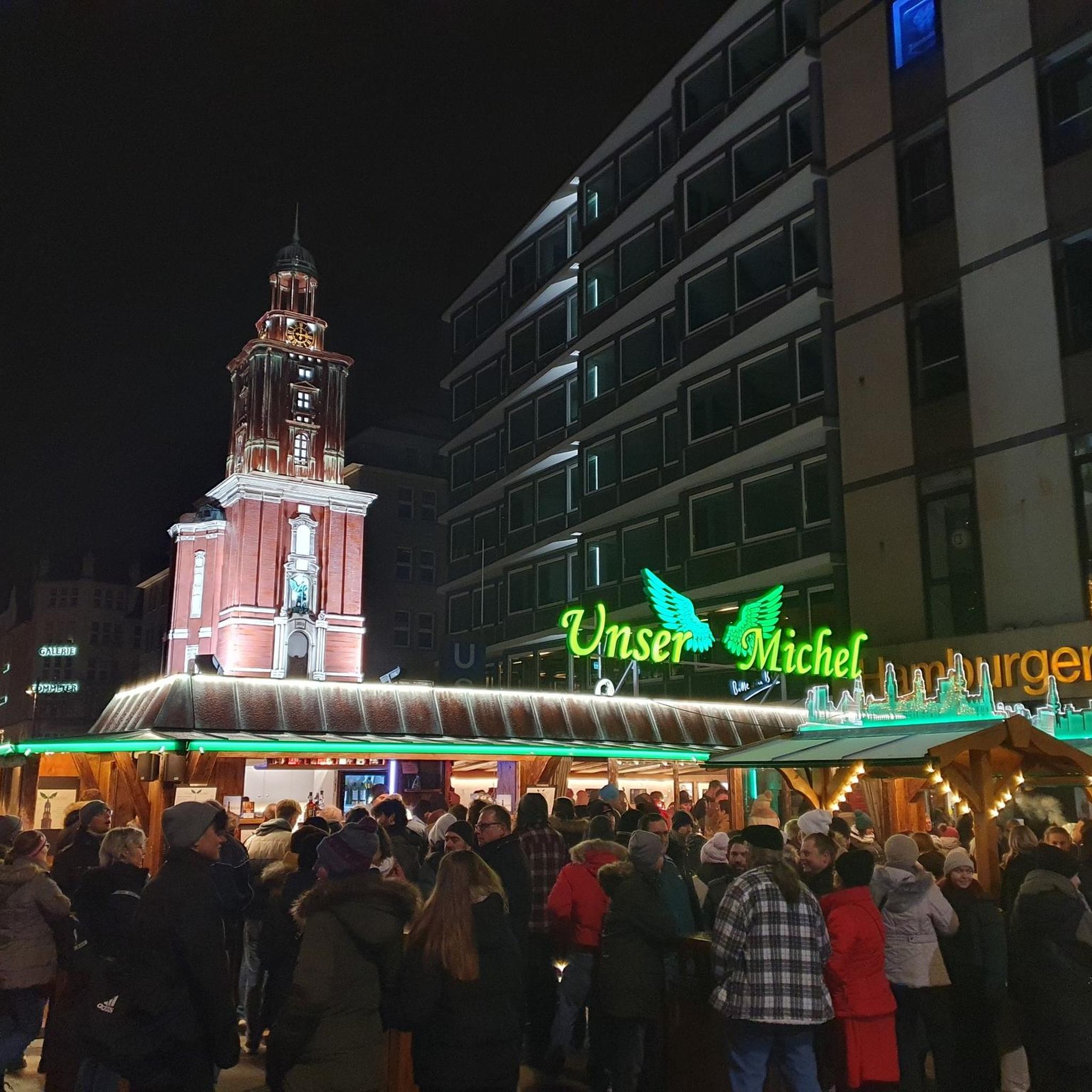
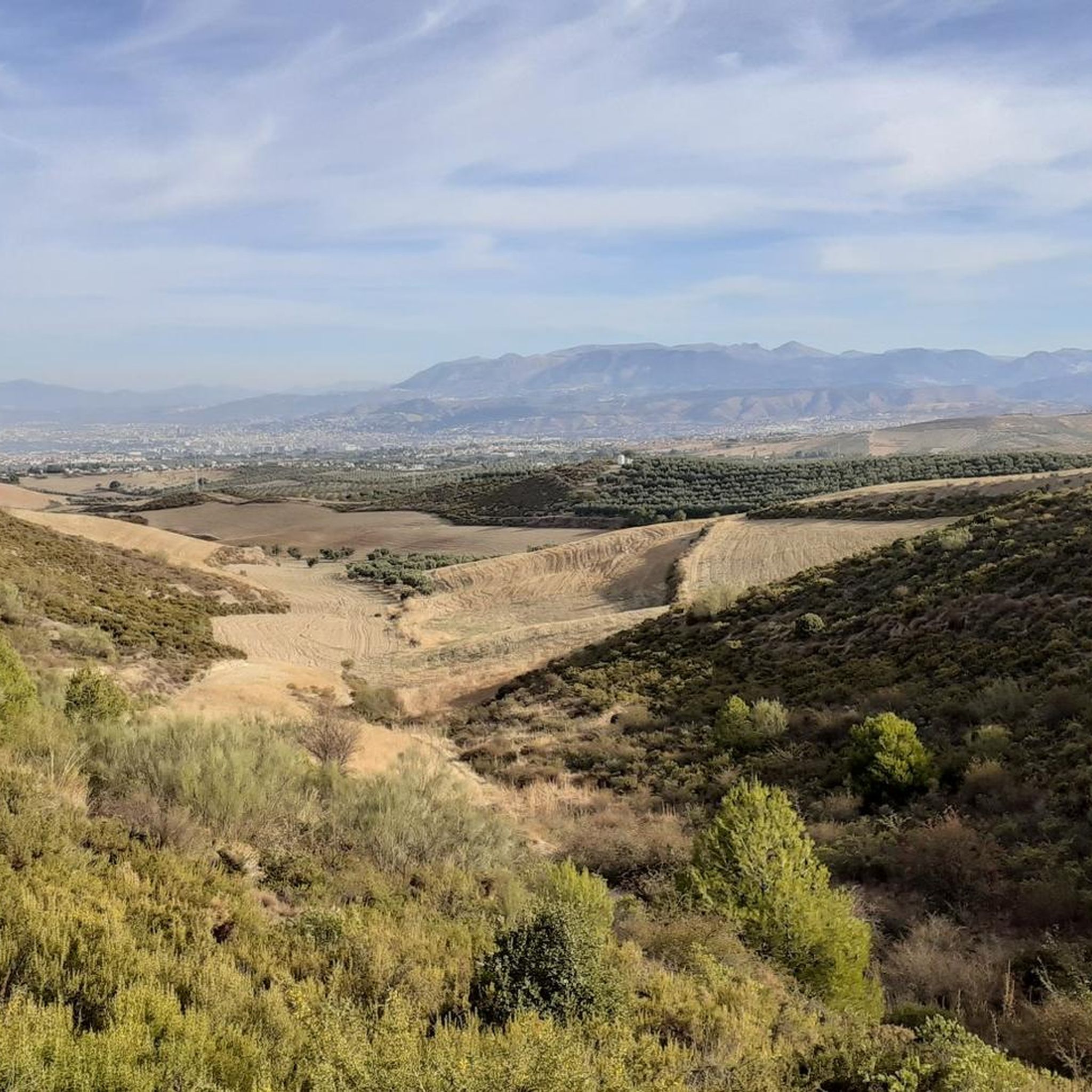
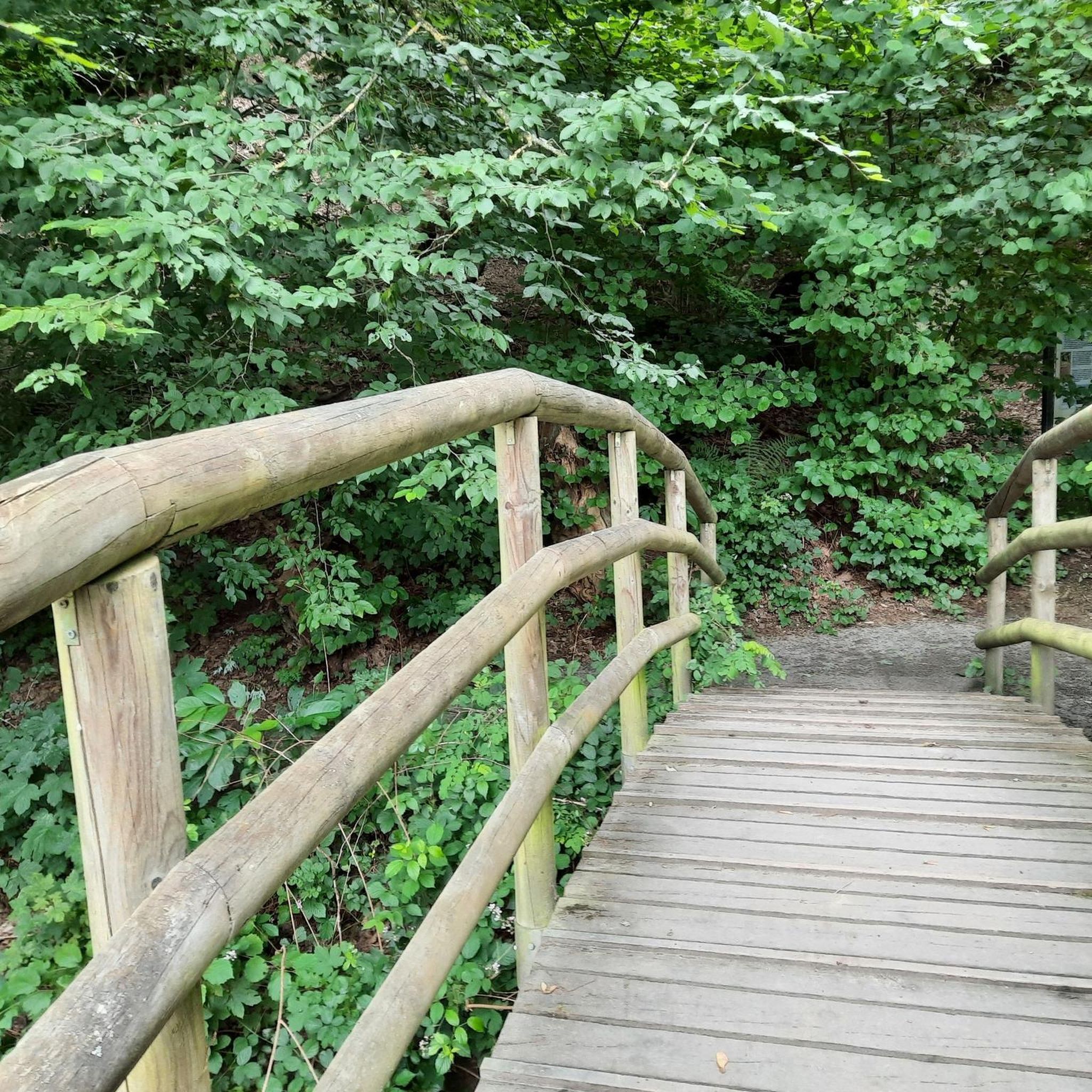
Tips from the Community

no joke, dizzying climb from grnade
0
0

This climb is one of the alternatives used to reach the Veleta peak from Granada. It's a spectacular, long and challenging ascent, taking you from 700 to 3,300 meters above sea level. The last stretch is along a rather broken track, but it's worth the effort, even on foot, to reach the Veleta geodesic vertex. Enjoy!
0
0

Up there you have a breathtaking 360 degree view of the Sierra Nevada. The up hill trail is really fun, going down is really cool and has a lot to offer 😊
0
0

Good climb from padul along trails to the cross of the watchtower
1
0

the mouth of the fishing
1
1

From this privileged enclave you can enjoy wonderful views, where the peaks of Alfacar, Huétor Santillán and the peak of Beas de Granada stand out.
4
0

Please take your rubbish with you, even if it's only tangerine achals
0
0

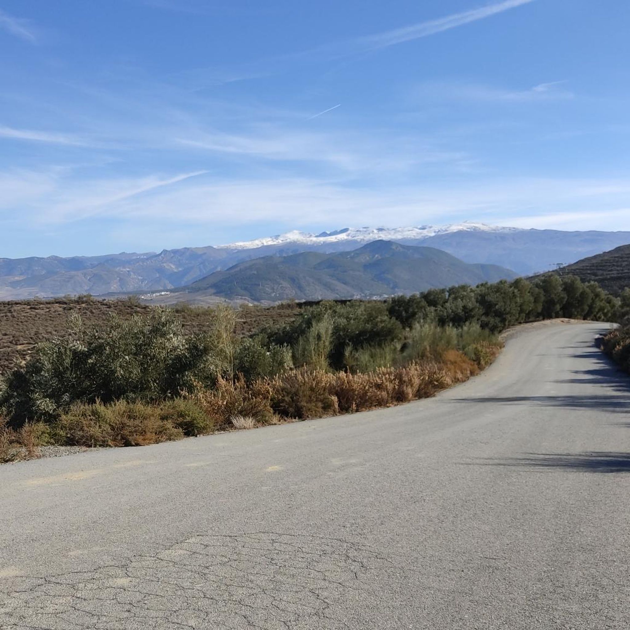
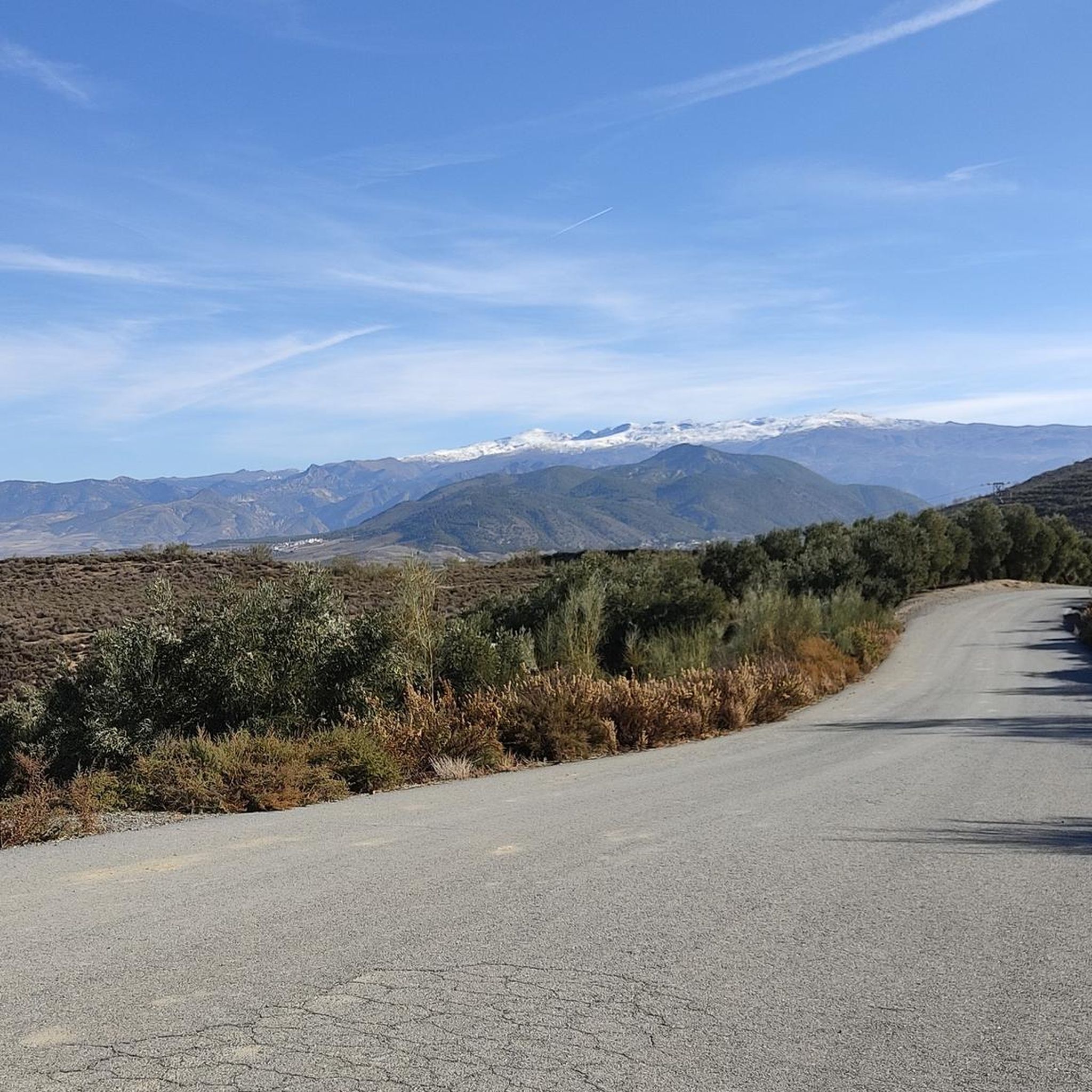
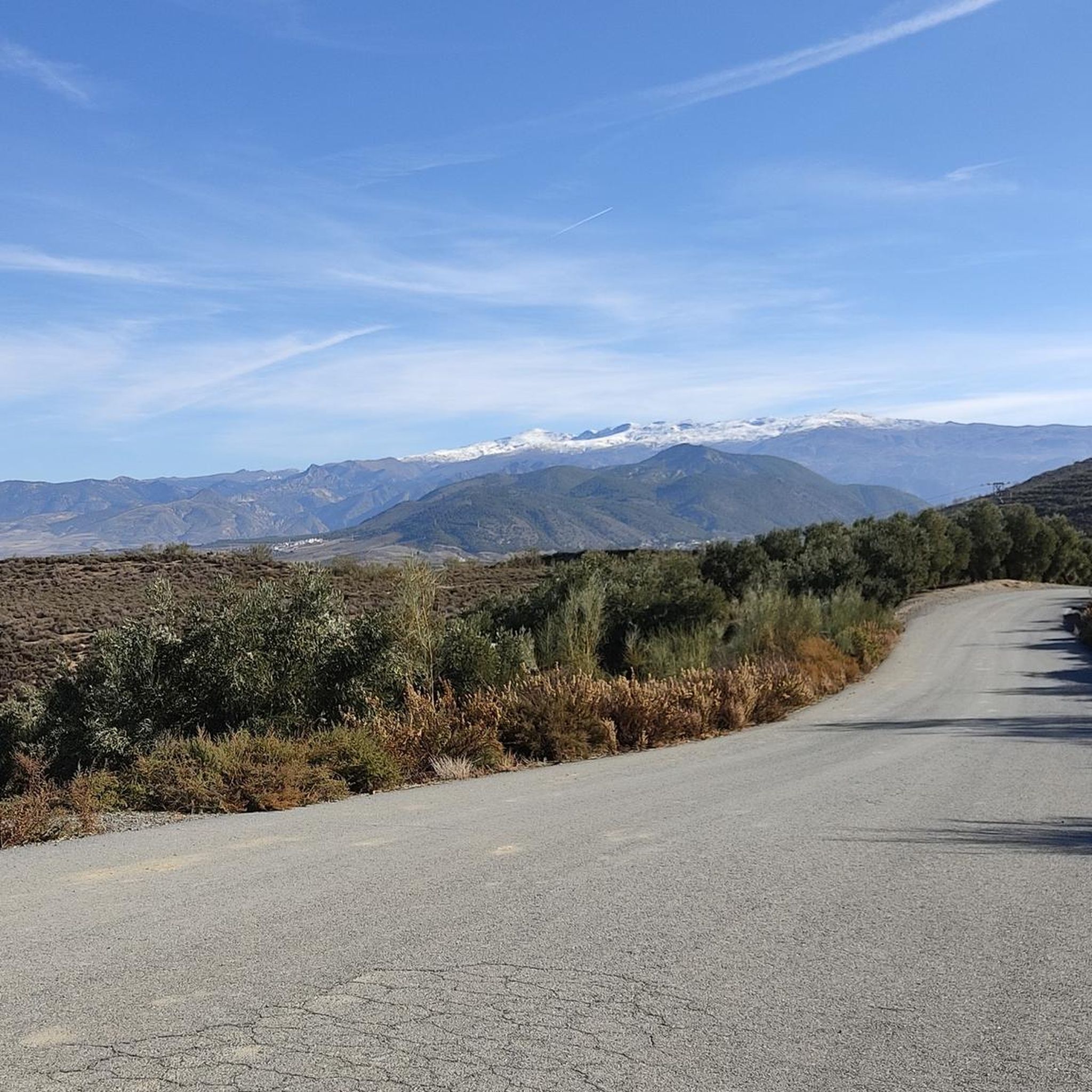
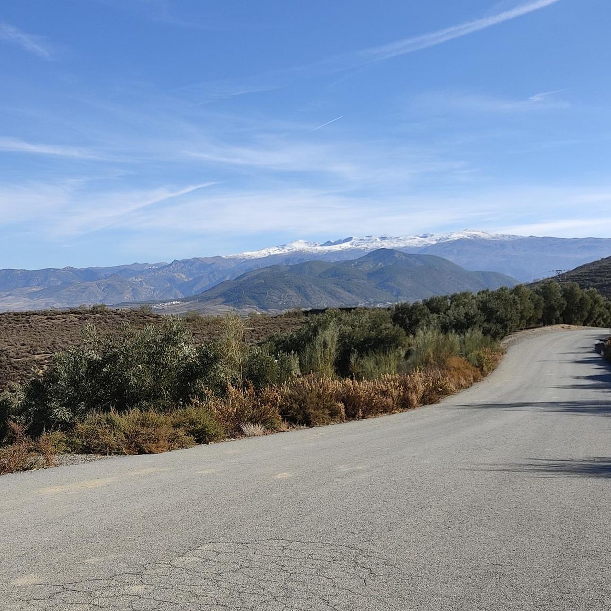
la silleta de Dílar, with its panoramic views, a place of cold and wind. when it snows it usually lasts snowy for several days.
2
0
Frequently Asked Questions
What are some of the most popular mountain peaks to visit near Villa De Otura?
Visitors frequently enjoy La Silleta de Dílar, known for its panoramic views, and Pico de la Cruz, which offers stunning vistas of Alfacar, Huétor Santillán, and Beas de Granada. Another highly appreciated peak is La Boca de la Pescá (1518 m), providing a breathtaking 360-degree view of the Sierra Nevada.
Are there any easy or moderate mountain hikes suitable for different skill levels near Villa De Otura?
Yes, Cerro Huenes is a great option for a moderate and rewarding hiking experience, offering varied scenery and well-maintained trails. The loop walk around Cerro Huenes traverses open countryside and short forest sections. For a unique adventure that's also suitable for families, Los Cahorros de Monachil provides a mix of challenging and easier sections with hanging bridges and riverine beauty.
What kind of views can I expect from the mountain peaks in this region?
From Cerro Huenes, you can enjoy expansive views of Granada to the west and the higher peaks of the Sierra Nevada, including Veleta, to the south. Peaks within the Los Alayos range, like Corazón de la Sandía, offer magnificent views of Granada, the Sierra Nevada, El Trevenque, and Veleta. From the summit of Pico Veleta, you can experience 360-degree panoramas encompassing the entire Sierra Nevada, Granada, the Mediterranean Sea, and even the coast of Africa on clear days.
Which mountain peaks offer a more challenging experience for experienced hikers?
The Los Alayos Mountain Range provides a dramatic and challenging environment with steep slopes and deep ravines. Routes through Los Alayos, such as the Vereda de los Alayos, involve navigating exposed sections and river crossings. La Boca de la Pescá (1518 m) is also described as a challenging summit. For a high-altitude experience, the ascent to Pico Veleta, especially via the Collado de las Sabinas, is a spectacular, long, and challenging climb.
What is the best time of year to hike the mountain peaks around Villa De Otura?
Spring and autumn are particularly recommended for pleasant weather when hiking Cerro Huenes. However, many trails are accessible year-round. Be aware that higher peaks like La Silleta de Dílar can be cold and windy, and snow typically remains for several days when it falls.
Are there any unique natural features or wildlife to look out for?
Yes, the area around Cerro Huenes is home to local fauna such as foxes, genets, badgers, and wild boar, with a chance to spot an ibex or golden eagle. Los Cahorros de Monachil is famous for its numerous hanging bridges, narrow gorges, small caves, and sections where hikers scramble under overhanging rocks, all alongside the lush Monachil River.
Can I find any historical sites or points of interest on the mountain trails?
Yes, along the routes to Pico Veleta, particularly from Posiciones del Veleta, you can see fortifications from the Spanish Civil War, adding a historical dimension to the natural beauty of the high-altitude landscape. Additionally, Cruz de la Atalaya is a man-made monument and viewpoint.
What outdoor activities, besides hiking, can I do near the mountain peaks of Villa De Otura?
The region offers a variety of outdoor activities. You can explore numerous running trails, such as the 'Bike Lane loop from Villa de Otura' or the 'Waterfall – Bike Lane loop'. For cycling enthusiasts, there are gravel biking routes like the 'Pinos Genil village – Hoya de la Mora loop'. You can find more details on these activities in the Running Trails around Villa De Otura and Gravel biking around Villa De Otura guides.
Are there any family-friendly hiking options around Villa De Otura?
Los Cahorros de Monachil is considered suitable for families and hikers of all skill levels, offering options for shorter or longer routes. Its unique features like hanging bridges and riverine environment make it an exciting adventure for all ages.
What do visitors particularly enjoy about the mountain peaks near Villa De Otura?
Visitors appreciate the diverse natural landscapes and the variety of hiking opportunities, from moderate trails to challenging ascents. The panoramic views from summits like La Silleta de Dílar and the unique adventure of places like Los Cahorros are frequently highlighted. The community has shared many photos and given numerous upvotes, indicating a strong appreciation for the area's beauty and trails.
How accessible is Pico Veleta, one of the highest peaks in the Sierra Nevada, from Villa De Otura?
While Pico Veleta is a high mountain, its ascent can be made more accessible by driving to higher starting points like Hoya de la Mora, which is about 30 minutes from Villa De Otura. This allows individuals with varying fitness levels to experience a high mountain summit and its breathtaking 360-degree views.
Can I find trails that combine forest and open countryside views?
Yes, the loop walk around Cerro Huenes is a great example, traversing open countryside interspersed with short sections of forest. This offers varied landscapes throughout the journey, along with views of the Los Alayos mountain range.
Most popular routes around Villa De Otura
Most popular attractions around Villa De Otura

Get inspired with the komoot mobile app


Explore more
See even more amazing summits around Villa De Otura with these guides:
