Top 8 Gorges around Jerez Del Marquesado
Best canyons around Jerez Del Marquesado are characterized by a diverse natural landscape within the Sierra Nevada mountain range. The region features unique geological formations such as gullies and badlands, shaped by water erosion. It also holds historical significance, with ancient human settlements and cave dwellings. The area provides access to high peaks and offers varied terrain for exploration.
Best canyons around Jerez Del Marquesado
- The most popular canyons is View of Hoya de Guadix, a viewpoint that offers…
Last updated: July 3, 2026
Granada Geopark
Highlight • Natural Monument
The landscape is deeply marked by the erosion of …
Tip by

Viewpoint of the Cárcavas de Marchal
Highlight • Viewpoint
Translated by Google •
Tip by

Sign up now to discover places like this
Get recommendations on the best single tracks, peaks, & plenty of other exciting outdoor places.
Sign up for free
Cliffs and Forests of Guadix
Highlight • Gorge
Translated by Google •
Tip by

View of Hoya de Guadix
Highlight • Viewpoint
Translated by Google •
Tip by

Alhorí Ravine
Highlight • Gorge
Translated by Google •
Tip by

Sign up for free to discover even more gorges around Jerez Del Marquesado.
Sign up for free
Already have an account?
Start today with a free account
Your next adventure awaits.
Login or Signup


Tips from the Community

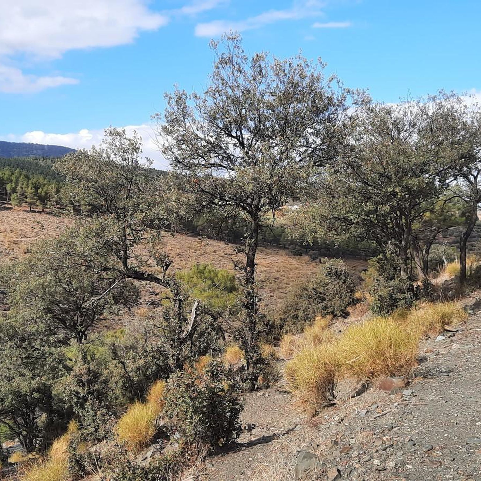
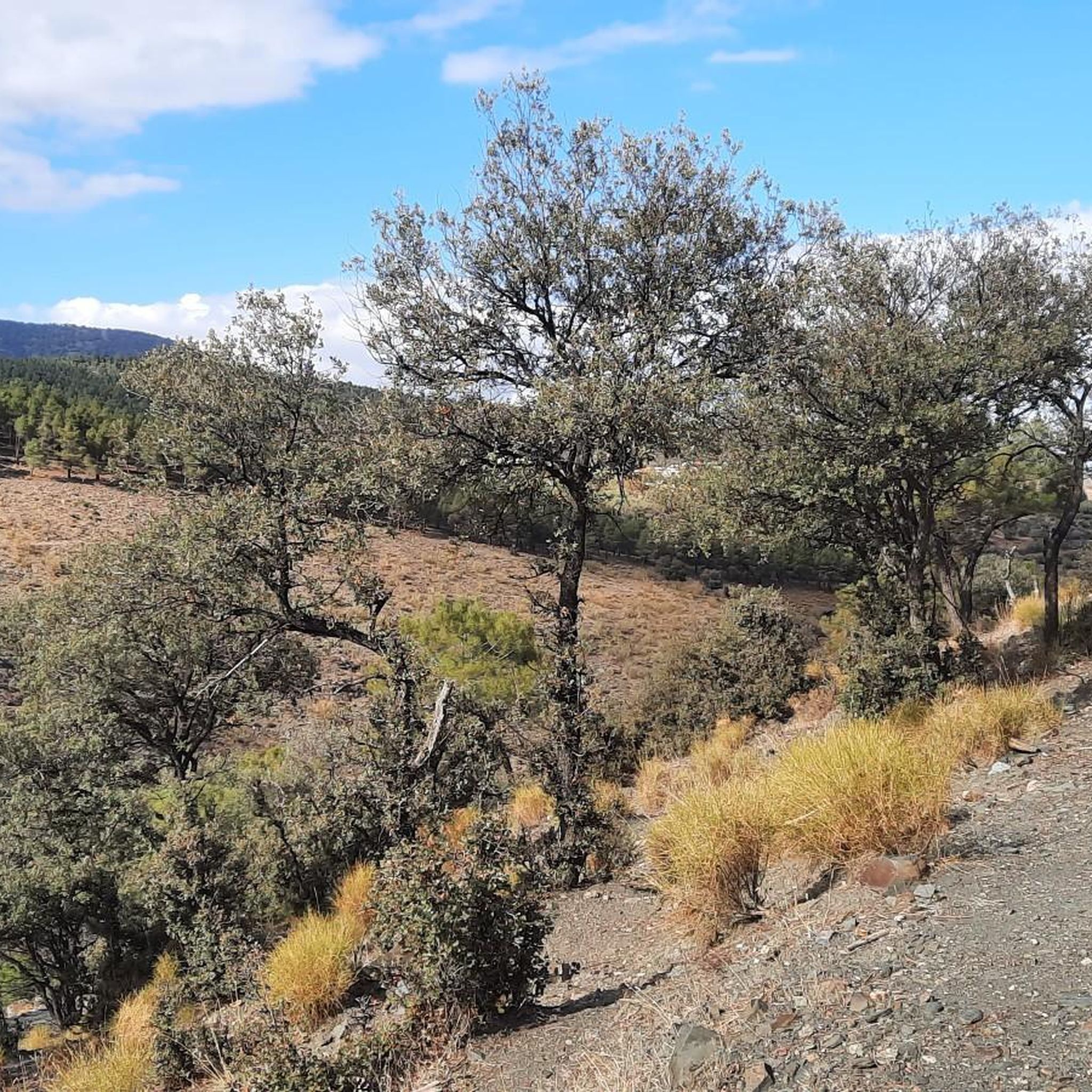
The Alhorí springs appear during the climb, they spring up at the foot of the cliffs, in the peat bogs or come out from between the stones on the path. The route goes over the steps carved during the glacial modelling process that designed the current reliefs of the Sierra Nevada mountains and reaches the isolated glacial cirque of the Ventisquero del Carbón, where the highest sources of the Alhorí are. It is amazing to find a trickle of water and green bushes in such a desolate and solitary place of pure rock. The path has stone milestones and continues clearly to the right of the spring towards the bottom of the cirque, there is still a good steep slope to the summit of the Picón.
0
0

Totally impressive and very steep path to the Mirador del Fin del Mundo.
1
0

Very nice little hike with geological curiosities.
1
0

Easy course with paths accessible to everyone, even beginners. Provide good shoes because paths with stones in places. This hike passes through the Miradors de Carcavas and Badlands which are magnificent and unmissable viewpoints in the region of the "cuevas". We started our hike at 7am to avoid the scorching heat of the day. Much of the route is in the shade through trees but plan your walk depending on the temperature in summer or winter. We had made a small detour because the route crosses private property, which unfortunately is surrounded by a fence and closed with a padlock. This forced us to bypass this field but we joined the course without problem.
1
0

La Hoya de Guadix is a surprising plain where you can enjoy the path and its views of the ravines and a unique landscape marked by the erosion of the Fardes and Guadix river basins.
2
0

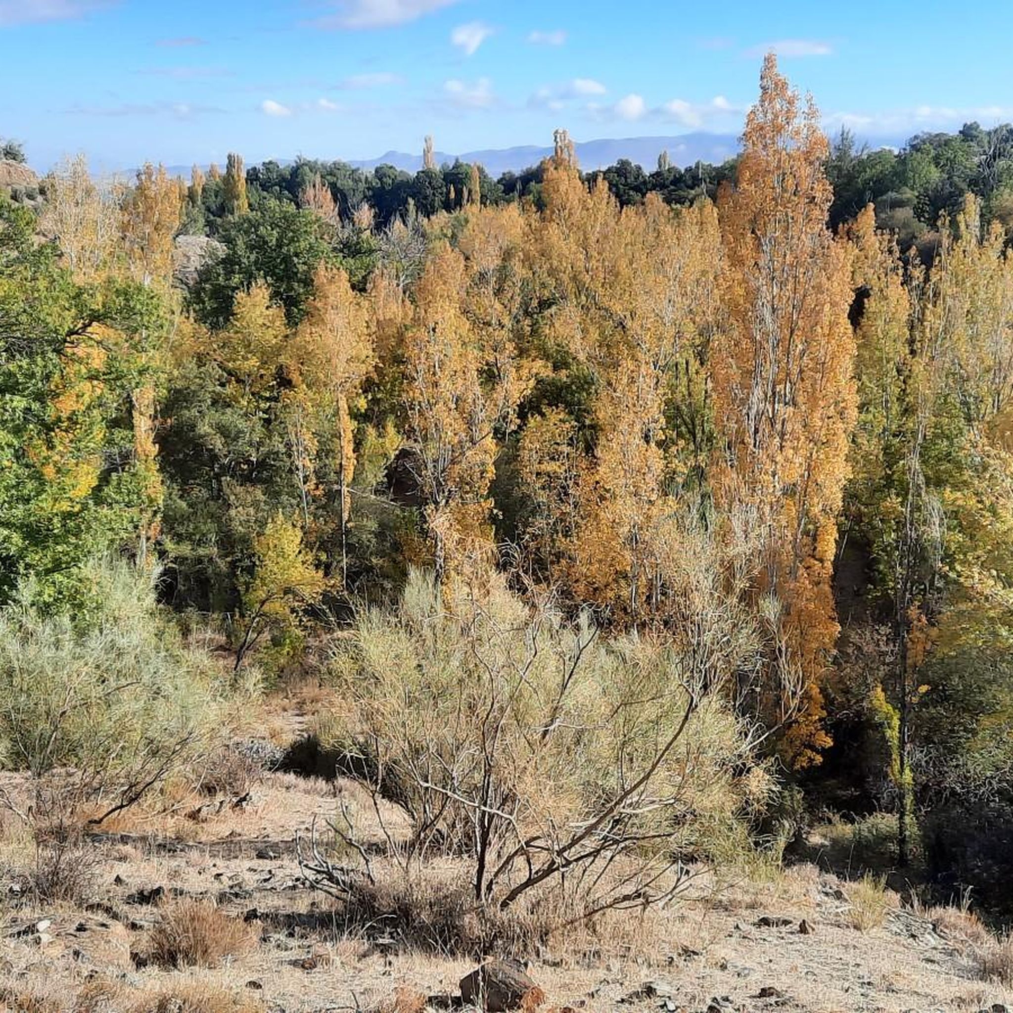
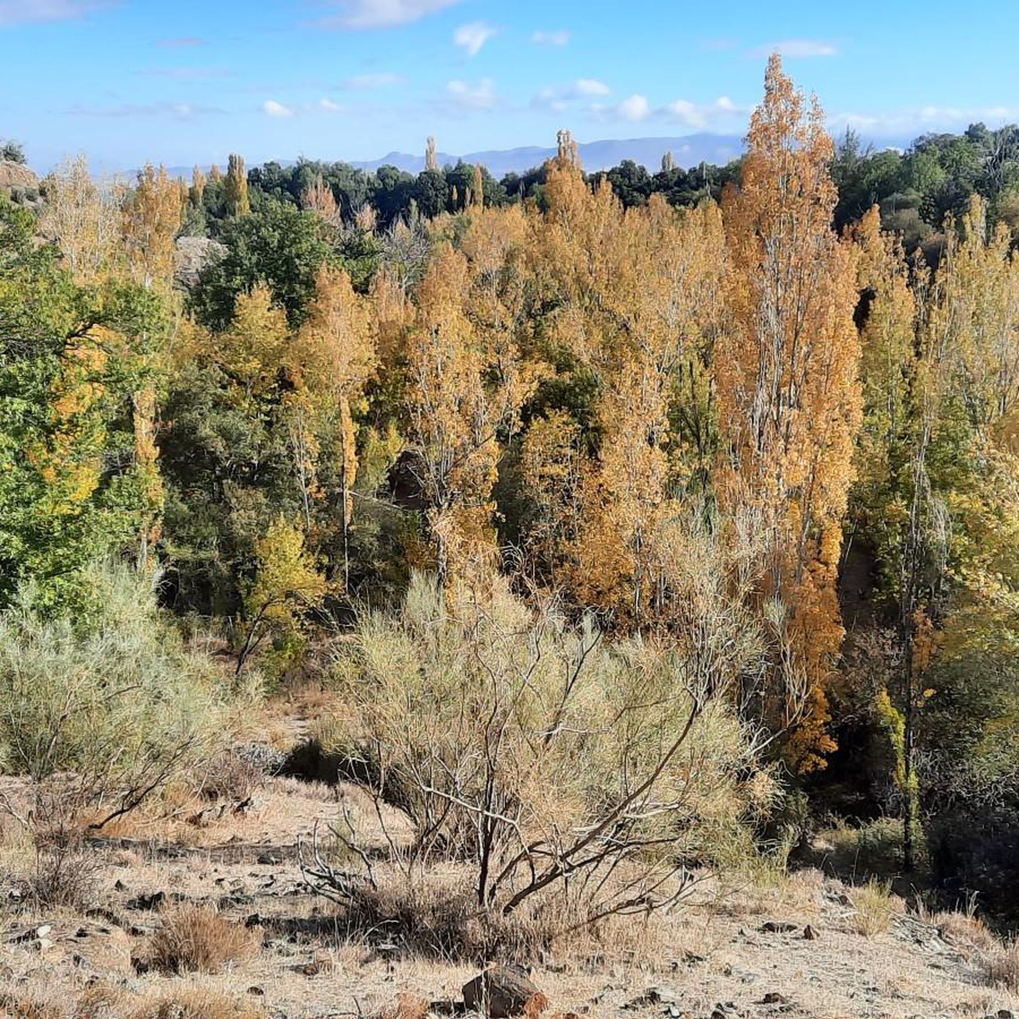
On this MTB Route that began in Guadix, I pass through several towns, Paulenca, Marchar, Policar, Beas de Guadix and back to Guadix, I pass through some cliffs and forests that I recommend is the jewel of Guadix, also if we are going through the Inside the towns we can see the famous typical cave houses in this area of Granada and the ravines produced by inclement weather throughout history.
1
0
It seemed like a spectacular route to me, and I'll do it on MTB, but I'll also do it as a Trekking route, it's fabulous to spend several days walking through the cliffs and caves of the town of El Marchal, beas de Guadix, lugros and also to be able to drink the rich wine of the Policar land
3
0

The Marchal gullies are a clayey massif, representative of a badland landscape, located in the Guadix basin, within the municipality of Marchal. It is characterized by the abundance of grooved formations as a result of water erosion.
5
0
Frequently Asked Questions
What are the most notable canyons and viewpoints in the Jerez Del Marquesado area?
The region offers several impressive natural features. The View of Hoya de Guadix provides a unique perspective on ravines and landscapes shaped by river erosion. Another must-see is the Viewpoint of the Cárcavas de Marchal, showcasing a clayey massif and badland landscape with grooved formations. The Granada Geopark is also significant for its gullies, badlands, and historical importance.
What kind of terrain and natural features can I expect to see in the canyons around Jerez Del Marquesado?
You'll encounter a diverse landscape characterized by unique geological formations. These include extensive gullies and badlands, clayey massifs, and areas shaped by glacial modeling. The Alhorí Ravine, for instance, features an impressive glacial cirque, numerous small streams, and a striking mix of blue, white, and green colors, especially at higher altitudes.
Are there any historical or cultural sites near the canyons?
Yes, the region has a rich historical context. The Granada Geopark is recognized as one of the oldest human settlements in the Iberian Peninsula, with a high concentration of cave dwellings and dolmens. Additionally, near the Barranco del Alhorí, you can find the Torreón de Jérez del Marquesado, an Andalusian-era tower with preserved walls, adding a cultural dimension to the natural scenery.
What is the best time to visit the canyons in Jerez Del Marquesado?
The best time depends on your desired activity. For summer hiking and exploring the natural beauty, the warmer months are ideal. However, in winter, areas like the Alhorí Ravine transform into a challenging destination for experienced alpinists and ice climbers, offering snow corridors and ice lines.
Are there family-friendly options for exploring the canyons?
Yes, some areas are suitable for families. The paths around the Viewpoint of the Cárcavas de Marchal are described as easy and accessible for everyone, including beginners. It's advisable to wear good shoes due to stony paths and plan your visit to avoid extreme temperatures, especially in summer.
What outdoor activities can I do near these canyons?
Beyond exploring the canyons themselves, the region offers a variety of outdoor activities. You can find numerous hiking trails, mountain biking routes, and gravel biking opportunities. For detailed routes and guides, explore options like Hiking around Jerez Del Marquesado, MTB Trails around Jerez Del Marquesado, and Gravel biking around Jerez Del Marquesado.
Are there challenging routes for experienced adventurers?
Absolutely. The Alhorí Ravine is particularly known for its challenging terrain, especially in winter. It offers snow corridors and ice lines with inclinations up to 50 degrees, making it an exacting option for experienced alpinists. The 'Corredor Central del Alhorí' requires specialized equipment like crampons and ice axes.
What kind of wildlife can be observed in the canyons?
The natural environment of the canyons, particularly around the Barranco del Alhorí, is home to mountain goats, offering opportunities for wildlife observation. The area's diverse plant life, including endemic high-altitude species, also contributes to its ecological richness.
Where can I find accommodation or services near the canyons?
For those exploring the higher reaches, the Refugio Postero Alto serves as a key starting point and provides essential services for mountaineers. It can be accessed via a forest track from Jerez del Marquesado, though winter conditions might require part of the journey to be completed on foot.
What do visitors enjoy most about the canyons around Jerez Del Marquesado?
Visitors frequently appreciate the stunning and diverse natural landscape, from the unique geological formations like gullies and badlands to the dramatic glacial cirques. The opportunities for both leisurely walks and challenging mountaineering, combined with the historical context and wildlife viewing, make the area a highly valued destination for outdoor enthusiasts.
Are there specific hiking trails recommended near the canyons?
Yes, there are several hiking routes that allow you to explore the canyon areas. For instance, you can find trails like the 'Refugio Postero Alto – Picón de Jerez loop' or the 'La Tizná Recreation Area – Alcázar Ravine loop'. More details on these and other routes can be found in the Hiking around Jerez Del Marquesado guide.
What are the Cliffs and Forests of Guadix?
The Cliffs and Forests of Guadix are a notable natural feature in the region, characterized by impressive cliffs and forested areas. This area is particularly popular for mountain biking, offering routes that pass through several towns and allow visitors to see the famous cave houses typical of this part of Granada, alongside the ravines shaped by natural erosion.
Most popular routes around Jerez Del Marquesado
Most popular attractions around Jerez Del Marquesado

Get inspired with the komoot mobile app


Explore more
Already discovered everything in this region? See additional gorges around Jerez Del Marquesado for your next adventure:
