The 6 Most Amazing Peaks around Teresa De Cofrentes
Best mountain peaks around Teresa De Cofrentes are found within the Valle de Ayora-Cofrentes region of Valencia, Spain. This area is characterized by the Macizo del Caroig, featuring a succession of high plateaus and ravines. The municipality offers a diverse mountain landscape, ideal for exploring its various peaks and elevated viewpoints. These natural features provide opportunities for outdoor enthusiasts to experience the region's varied terrain.
Best mountain peaks around Teresa De Cofrentes
- The most popular mountain peaks is Pico de…
Last updated: July 3, 2026
Pico de Caroche
Highlight • Summit
Translated by Google •
Tip by

Hermitage and Geodetic Vertex of Montemayor
Highlight • Religious Site
Translated by Google •
Tip by

Sign up now to discover places like this
Get recommendations on the best single tracks, peaks, & plenty of other exciting outdoor places.
Sign up for free
Alto del Cinto de la Cabra
Highlight • Viewpoint
Translated by Google •
Tip by
Montemayor Peak and Santa Cruz Cross
Highlight • Summit
Translated by Google •
Tip by

Alto del Buitre
Highlight • Summit
The highway connects Enguera and Ayora. At this point, you can …
Translated by Google •
Tip by

Start today with a free account
Your next adventure awaits.
Login or Signup
Tips from the Community

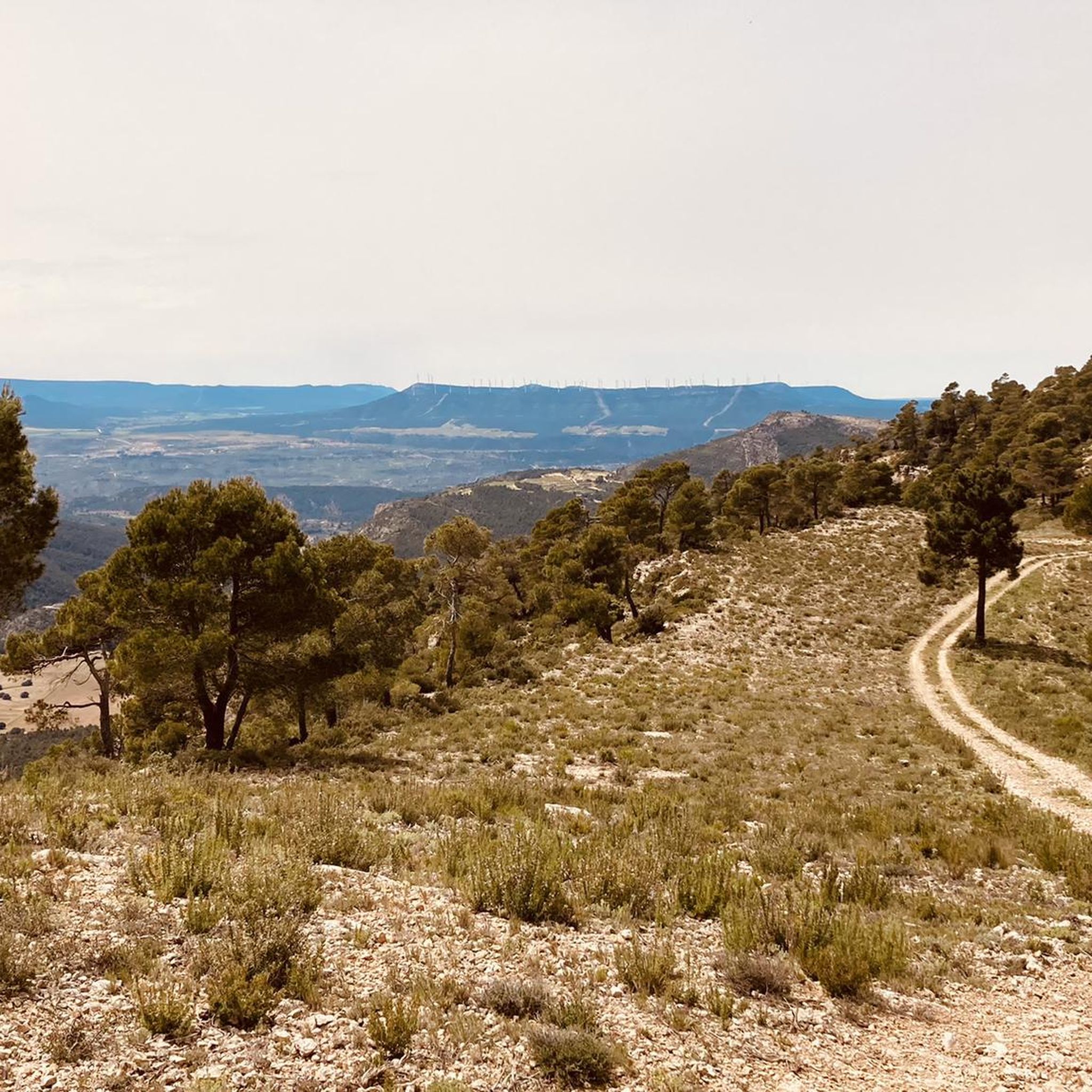
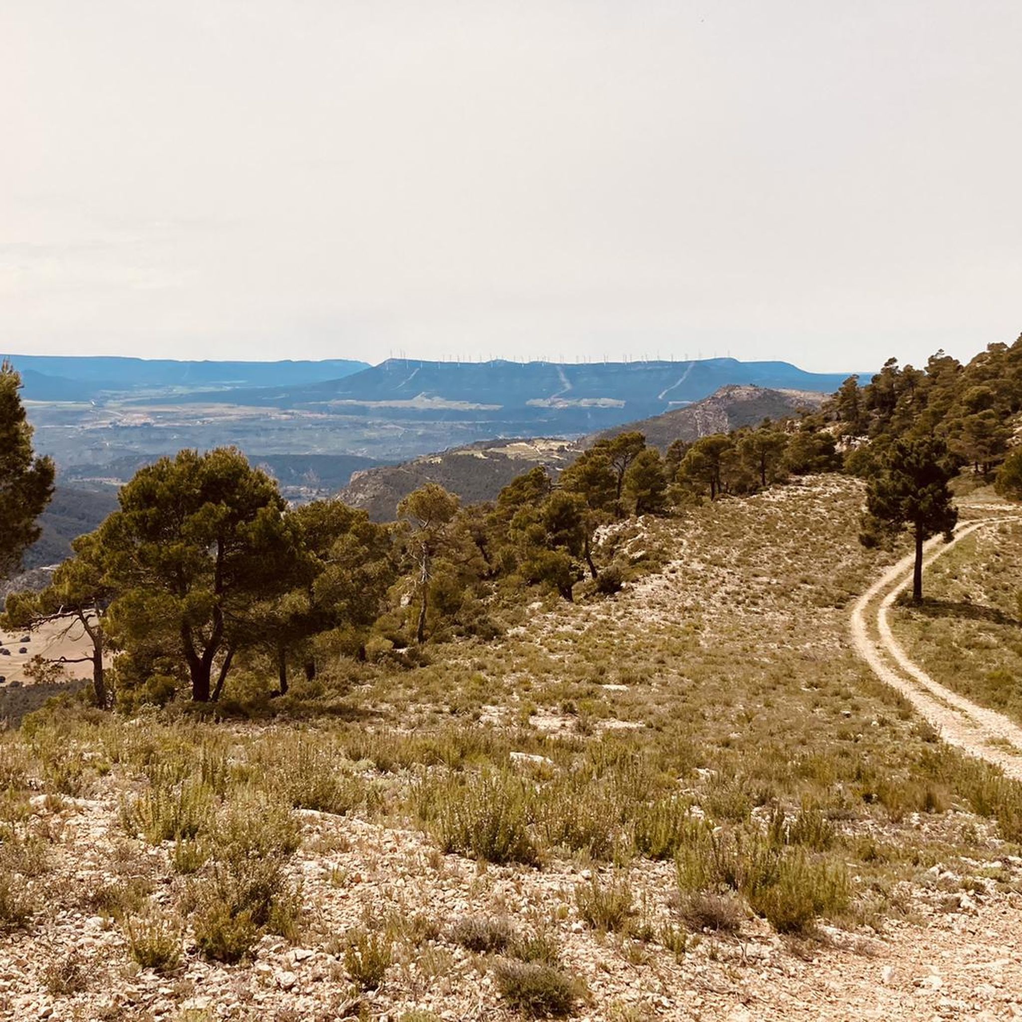
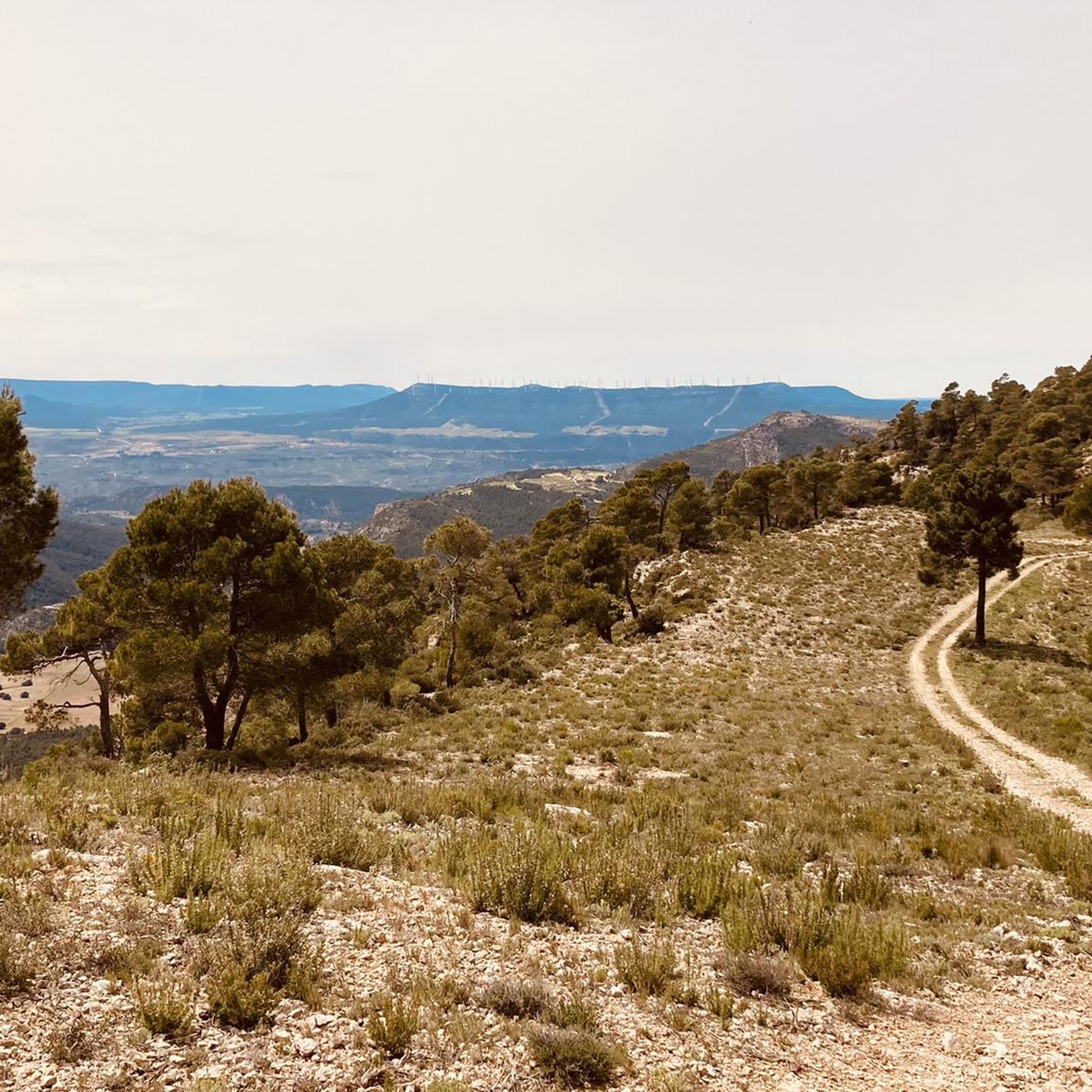
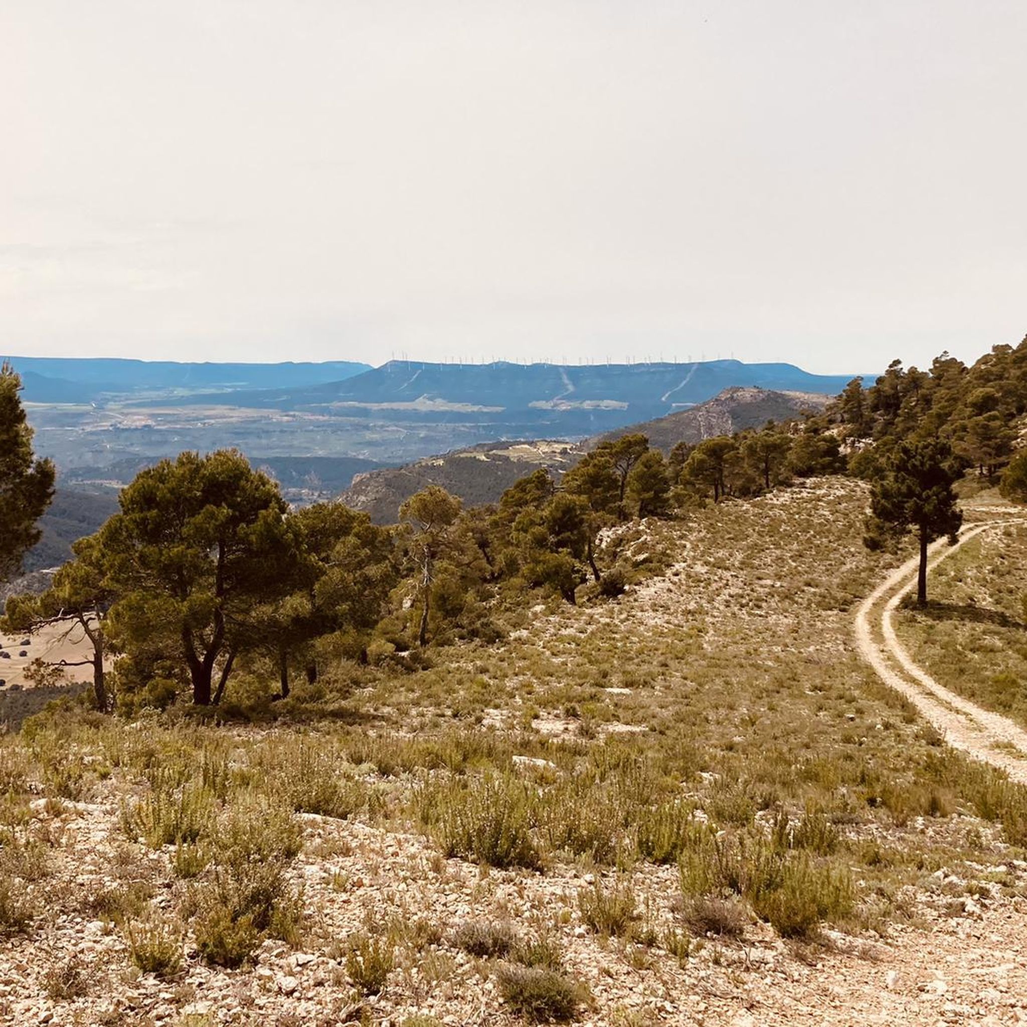
Spectacular views, although the climb from Cortes de Pallas along the Muela ridge is very tough.
0
0

Wow how beautiful! And the trip itself is what it's all about. What a beautiful rugged area.
2
0
Caroche or Caroig peak is a 1,126 meter mountain, located in Teresa de Cofrentes. It is located in the massif that receives the same name (Macizo del Caroig), located between the regions of "El valle de Ayora-Cofrentes" and the "Canal de Navarrès" and belonging to the municipality of "Teresa de Cofrentes", bordering the municipal area of Bicorp. It has a height of 1,126 meters above sea level. At its highest point there is a fire surveillance post, from which you can see a large part of the regions of Valencia, seeing the sea and the city of Cullera on the clearest days. On the slopes of this massif small streams grow such as “El Río Fraile” or the famous, among the locals of Teresa, “La Argongeña”. It is sometimes mispronounced "La Longeña". The entire geography is dotted with ravines, caves and very deep crevices, such as those found in the Las Quebradas area...
0
0

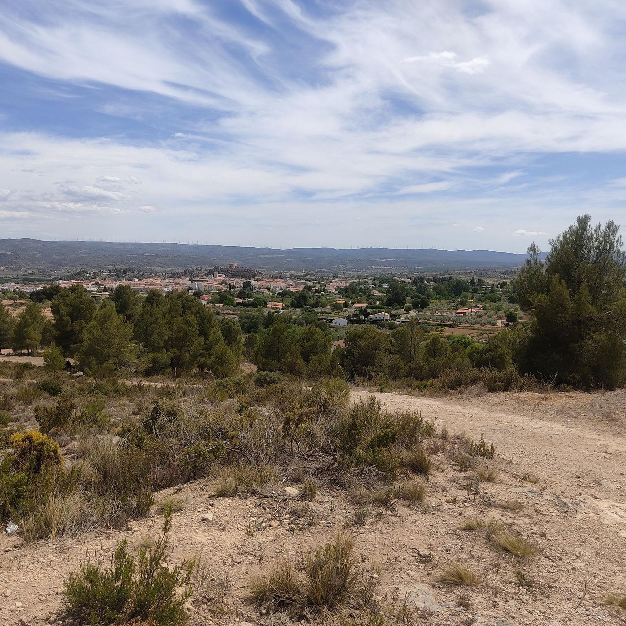
The Caroche peak is located 1125 meters above sea level. I invite you to stop along the way and contemplate the privileged views that you get from this point. Here you can find the forestry hut and some information panels about the surrounding mountains.
0
0

View from the hermitage of Montemayor
0
0

Easy to drive, the approach was on asphalt, no possibility. Great views even from the bike.
1
0

Montemayor is quite elevated and has a small hermitage called Santa Cruz. Along the route to the peak you can enjoy a wide variety of birds.
1
0
It is the highest point in the mountains from where you can even see the Cofrentes nuclear power plant. The highway connects Enguera and Ayora. At this point, you can enter the Sierra de Almansa through the track of the wind farm.
0
0
Frequently Asked Questions
What are some of the most rewarding mountain peaks to hike in Teresa De Cofrentes?
For incredible panoramic views, Pico de Caroche is highly recommended. It's the highest point in the municipality, offering extensive vistas from its 1,126-meter summit. Another rewarding ascent is to Hermitage and Geodetic Vertex of Montemayor, which provides 360º views of the Ayora Valley and a peaceful resting point.
What kind of views can I expect from the mountain peaks in Teresa De Cofrentes?
The peaks in Teresa De Cofrentes offer diverse and expansive views. From Pico de Caroche, you can see a large portion of the Valencia region, and on clear days, even the sea and the city of Cullera. Alto del Cinto de la Cabra provides beautiful, quiet views of the valley, while Alto del Buitre offers distinct perspectives, including the Cofrentes nuclear power plant.
Are there any historical or cultural sites on the mountain peaks?
Yes, Hermitage and Geodetic Vertex of Montemayor is a notable site. Located on Pico Montemayor, this small hermitage called Santa Cruz offers a unique blend of natural beauty and cultural heritage, providing a resting point after the ascent.
What are some challenging mountain climbs in the region?
The ascent to Pico de Caroche involves steep slopes, making it a challenging but highly rewarding climb. The region's diverse terrain, part of the Macizo del Caroig, offers various routes with significant elevation gains for experienced hikers.
Are there family-friendly mountain walks around Teresa De Cofrentes?
While many peaks involve moderate to challenging ascents, the region also offers trails suitable for families. The Peñas de Sala Trail, a 9.42 km circular route from Teresa de Cofrentes, is known for its impressive views and pine forests, offering a moderate option to experience the mountains. Always check specific trail details for suitability with children.
Can I find circular hiking routes among the peaks?
Yes, the region features several circular routes. The "Route of Montemayor" is a circular trail approximately 13.3 km long, taking nearly four hours to complete. Another option is the Peñas de Sala Trail, a 9.42 km circular route from Teresa de Cofrentes, offering a great way to explore the area's natural beauty.
What is the best time of year to hike the peaks in Teresa De Cofrentes?
The Valle de Ayora-Cofrentes region generally enjoys a Mediterranean climate. Spring and autumn are often ideal for hiking, offering pleasant temperatures and vibrant natural scenery. Summers can be hot, especially at midday, while winters are generally mild but can be cooler at higher elevations.
What other outdoor activities can I do near the mountain peaks?
Beyond hiking, the area around Teresa De Cofrentes is excellent for cycling and mountain biking. You can explore various routes like the "Ermita de Santa Cruz – El Caroche Summit loop" for MTB or the "Teresa de Cofrentes and Cinto de la Cabra Loop" for road cycling. For more options, check out the MTB Trails around Teresa De Cofrentes, Cycling around Teresa De Cofrentes, and Road Cycling Routes around Teresa De Cofrentes guides.
Are there specific trails recommended for exploring the mountainous terrain?
Absolutely. The Hoz de Zarra Trail is a moderate 12.8 km hike through varied terrain and an "enchanted forest." Another excellent option is the Peñas de Sala Trail, a 9.42 km circular route from Teresa de Cofrentes, known for its impressive views and pine forests. These trails provide accessible ways to experience the region's elevated perspectives.
Where can I park when visiting the mountain peaks?
While specific parking locations for each peak are not detailed, many trailheads and popular starting points for routes like the "Route of Montemayor" or the Peñas de Sala Trail typically have designated parking areas. It's advisable to check local signage or trail information for specific parking instructions before your visit.
What unique natural features can be observed while hiking the peaks?
The region is characterized by the Macizo del Caroig, featuring high plateaus and ravines. While hiking, you can observe small streams like "El Río Fraile" and "La Argongeña" on the slopes of Pico del Caroig. The ascent to Pico Montemayor also offers opportunities to observe a wide variety of bird species, adding an ecological appeal to the experience.
Can I hike with my dog on the trails around Teresa De Cofrentes peaks?
Many outdoor areas in Spain are dog-friendly, but specific regulations can vary. It's generally recommended to keep dogs on a leash, especially in protected natural areas or where wildlife is present. Always check local signage or specific trail guidelines for any restrictions regarding pets.
Most popular routes around Teresa De Cofrentes
Most popular attractions around Teresa De Cofrentes

Get inspired with the komoot mobile app


Explore more
See even more amazing summits around Teresa De Cofrentes with these guides:
