Top 20 Lakes around Eeklo
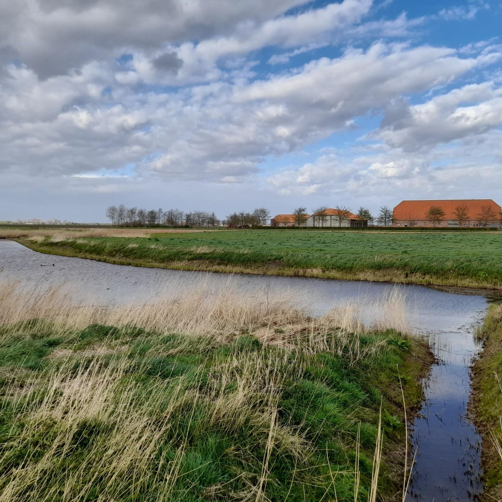
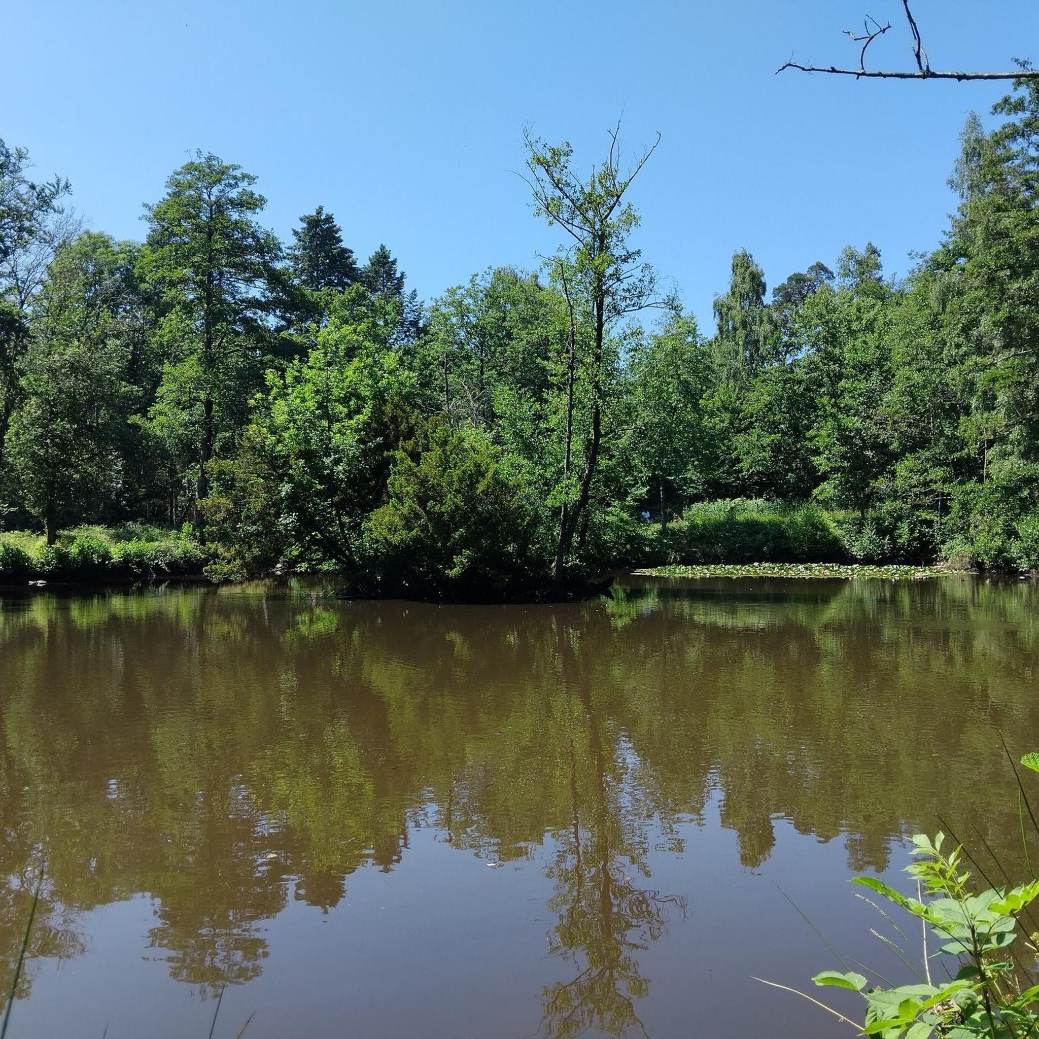
Lakes around Eeklo are primarily characterized by a system of creeks, which are often former peat pits or water bodies formed by historical floods in the Meetjesland region. These water systems contribute to the natural landscape and provide diverse habitats for wildlife. The area offers opportunities for outdoor activities centered around these unique water features. Eeklo's water bodies are appreciated for their natural appeal and ecological significance.
Best lakes around Eeklo
- The most popular lakes is Boerekreek, a lake that is the largest creek in the Meetjesland region, spanning approximately 39 hectares. It is a nature reserve and a habitat for various bird species, including mallards and white-fronted geese.
- Another must-see spot is Bentillekreek, a lake that is one of the five creeks in Sint-Jan-in-Eremo, bordered by the Leopold Canal. It is known for its sandy soils, native orchard, and opportunities for bird watching, including kingfishers.
- Visitors also love Vrouwkenshoekkreek, a lake that is part of a larger creek system. This creek was restored and is now a habitat for water birds, including the Marsh Harrier.
- Eeklo is known for its creeks and former peat pits. These water bodies offer diverse natural habitats and recreational opportunities.
- The lakes around Eeklo are appreciated by the komoot community, with more than 125 upvotes and over 125 photos shared by visitors.
Last updated: October 3, 2026
Boerekreek
Highlight • Lake
Is so much nature too stressful for you? Then follow the 9.5 kilometer long yoga path with the meaningful name Mindful Walk. It starts at junction 83 and is particularly popular in winter - because snow yoga is trendy!
Translated by Google •
Tip by

Bentillekreek
Highlight • Lake
Source: meetjes.land/poi/265/bentillekreek-sint-laureins
Translated by Google •
Tip by

Sign up now to discover places like this
Get recommendations on the best single tracks, peaks, & plenty of other exciting outdoor places.
Vrouwkenshoekkreek
Highlight • Lake
The neighboring Leopold Canal had been widened and deepened and the mound of earth that arose in the process was tipped into the Vrouwkenshoekkreek. Not a good idea. Fortunately, it was returned to its original beauty and renatured.
Hundreds of water birds, especially the Marsh Harrier, visit the wonderfully flat brook area, especially in autumn. But also at all other times of the year you will be impressed by the vastness and the dancing sunlight on the flat polders.
Translated by Google •
Tip by
Blok Creek
Highlight • Lake
The most eastern part of the Blokkreek is of particular importance, which is partly on land, but which also contains a swamp area called Den Draaiput, which is rich in special plant and animal species.
In the north, the Blokkreek is connected to the Hollandersgatkreek and in the south with the Vrouwkenshoekkreek, which is again called Blokkreek on Dutch territory.
Remarkable are the almost right-angle bends in the creek system, possibly the result of the fact that the creek developed along man-made structures (roads, dike remnants) when it originated.
The area is European protected as part of Natura 2000 area 'Polders'.
Source Wikipedia
Translated by Google •
Tip by
Oostpolder Creek
Highlight • Lake
Creek contains brackish water. A creek where the eel feels at home.
Translated by Google •
Tip by
Hollandersgatkreek
Highlight • Lake
The Hollandersgatkreek is an extension of the Blokkreek and is separated from it by a dam. The creek is a remnant of the Hollandersgat that emerged after the All Saints Flood of 1570 and the subsequent inundations by the Geuzen.
The Hollandersgatkreek is connected to the Kruiskreek, which is located on Dutch territory and is connected to the Passageule via a complicated creek system.
The area is European protected as part of the Natura 2000 area 'Polders'
Source Wikipedia
Translated by Google •
Tip by
Provincial Sports Center De Boerekreek
Highlight • Rest Area
For those who want to do sports and nature education in a green environment, the provincial center De Boerekreek in Sint-Laureins is the ideal place.
De Boerekreek is an ideal base for a walk, bike ride or day of fishing, surfing or kayaking...
All together to the Meetjesland.
More information at: oost-vlaanderen.be/ontspannen/recreatiedomeinen/de-boerekreek.html
Translated by Google •
Tip by
The Gezusterkreken
Highlight • Lake
The Gezusterskreeks consist of the Grote Kil and the Kleine Kil, which are in line with each other but are separated by a dam, over which the Gezustersstraat runs. The creeks are located in the Sint-Albertpolder, which was diked in 1612, during which the Scheurhoekdijk was constructed. In 1663 and again in 1690, the Sint-Pieterspolder was diked, causing the Scheurhoekdijk to lose its function as a primary sea defense. The current Belgian-Dutch border here follows the route of the Scheurhoekdijk. The area is European protected as part of the Natura 2000 area 'Polders'
Source Wikipedia
Translated by Google •
Tip by
Bottomless Pit - 1808
Highlight • Natural Monument
The water overflowed the dike at this point and poured out of it into a deep round well. The sea wall broke through and the resulting hole could not be closed immediately. A ring dike was constructed around the Bottomless Pit. A place that makes the natural power of water in the landscape clear.
Translated by Google •
Tip by
Molenkreek
Highlight • Lake
Translated by Google •
Tip by
Sign up for free to discover even more lakes around Eeklo.
Already have an account?
Start today with a free account
Your next adventure awaits.
Popular around Eeklo
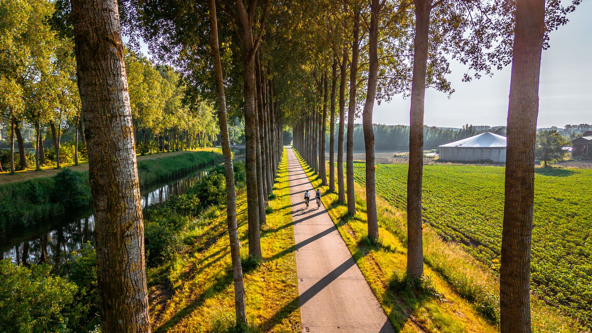
The six most beautiful cycling routes in East Flanders
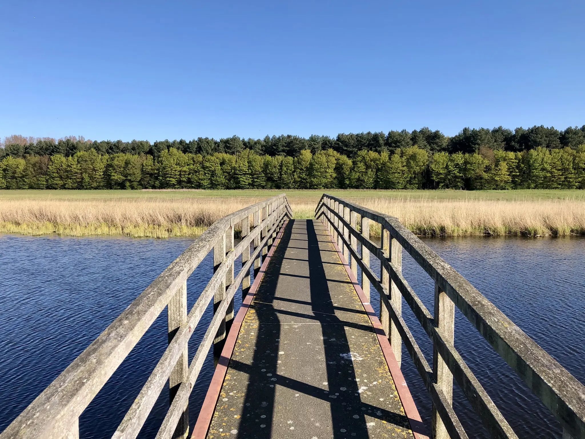
By West, East and Zeeuws-Vlaanderen — GR Uilenspiegel
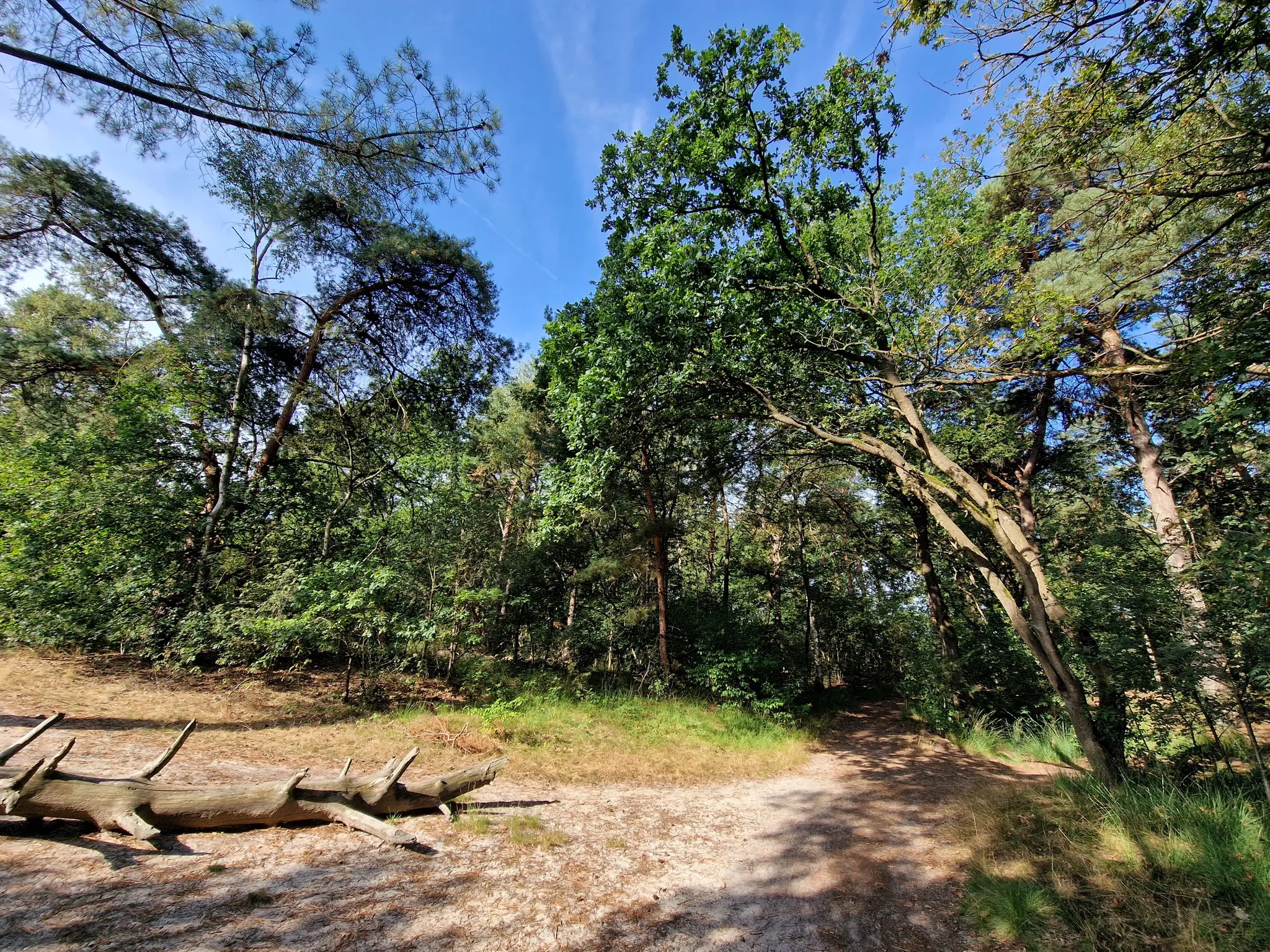
Along the border between the Netherlands and Belgium – the Grenslandpad
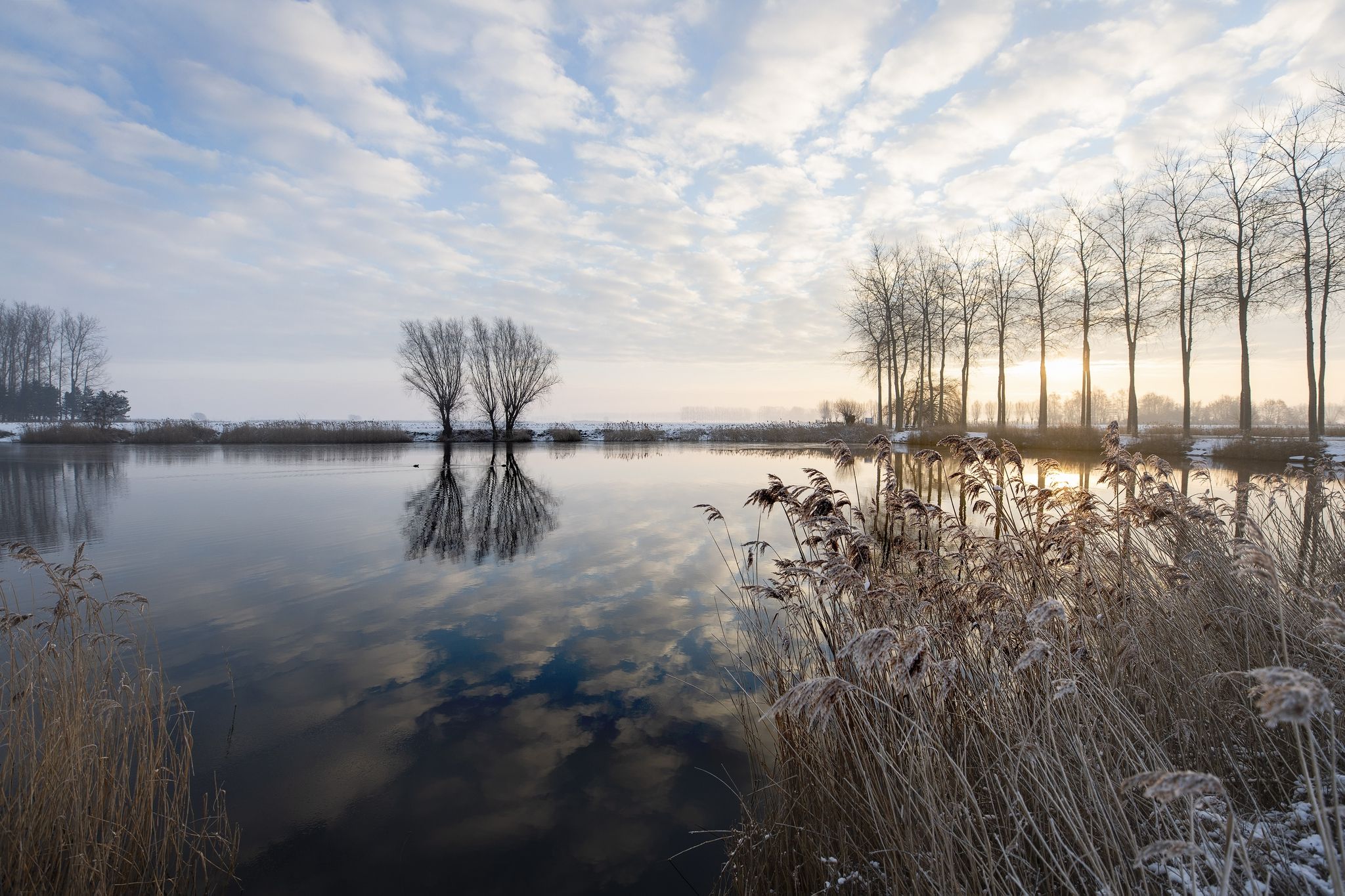
Winter hiking bliss in Flanders
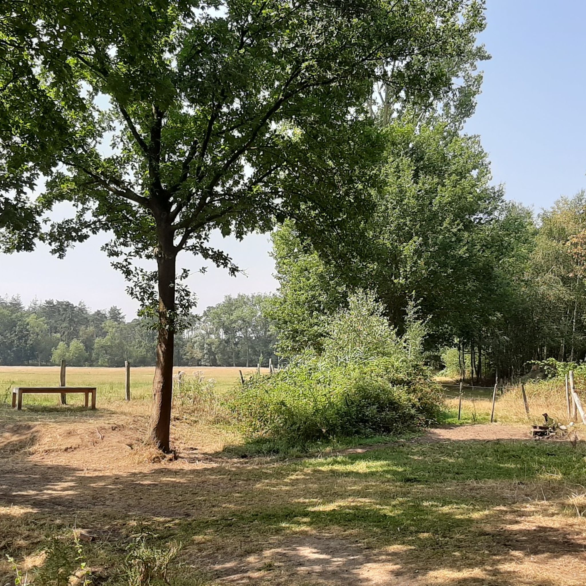
Hiking around Eeklo
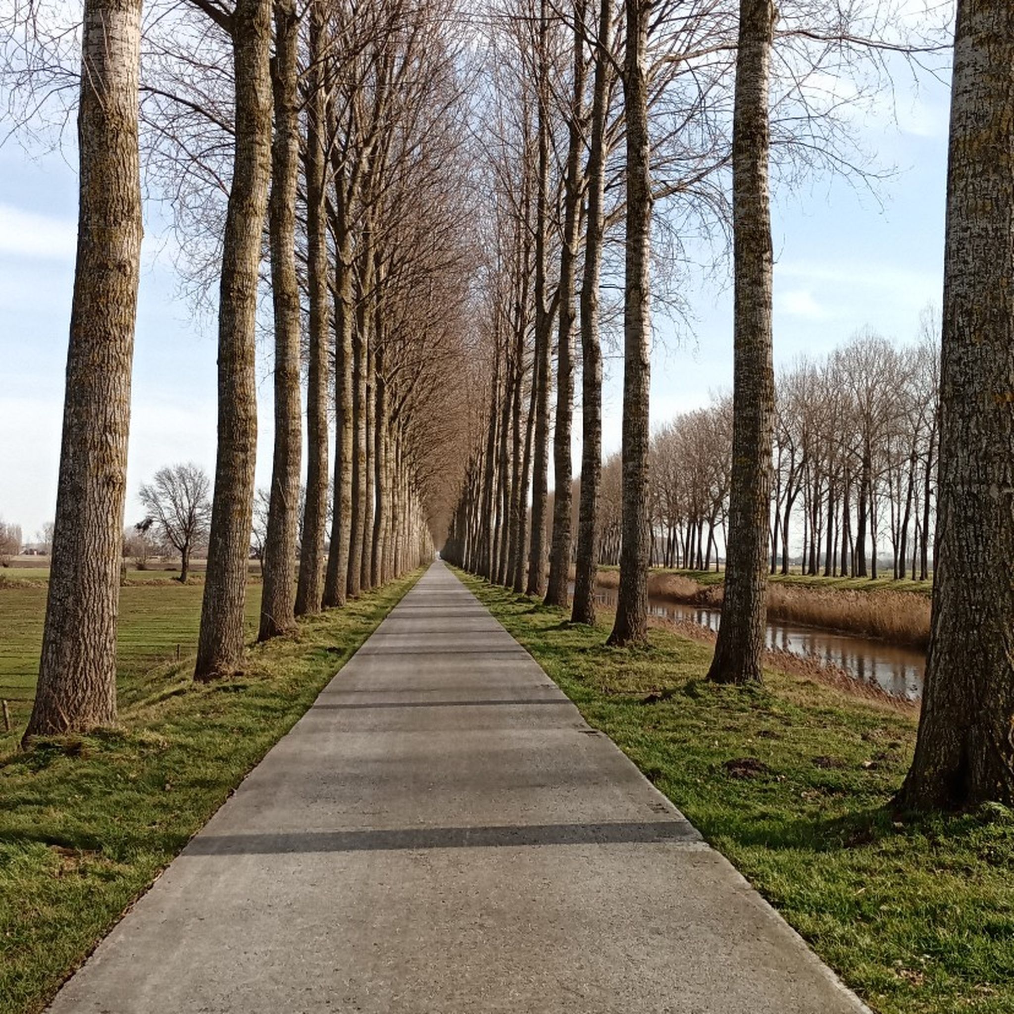
Road Cycling Routes around Eeklo
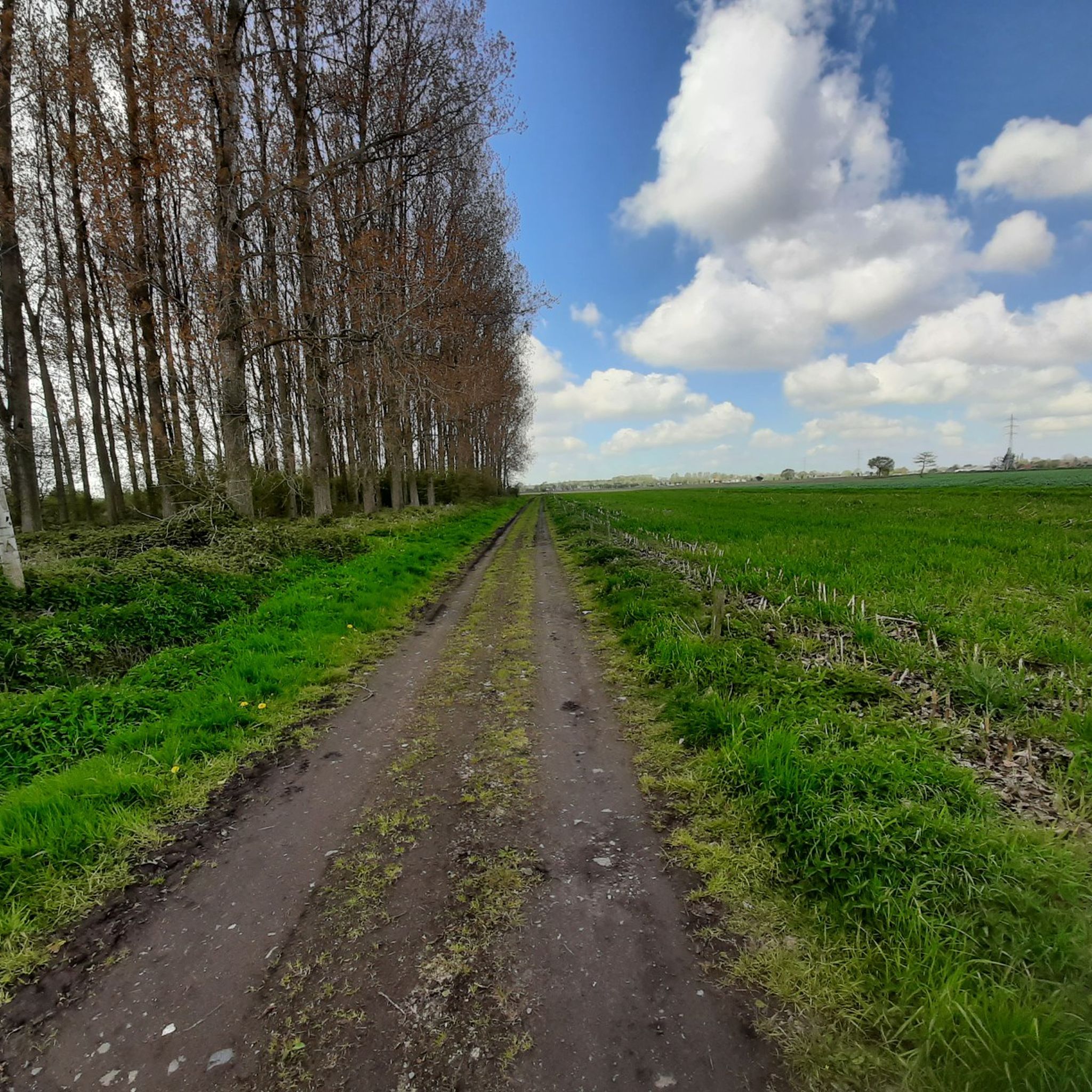
MTB Trails around Eeklo
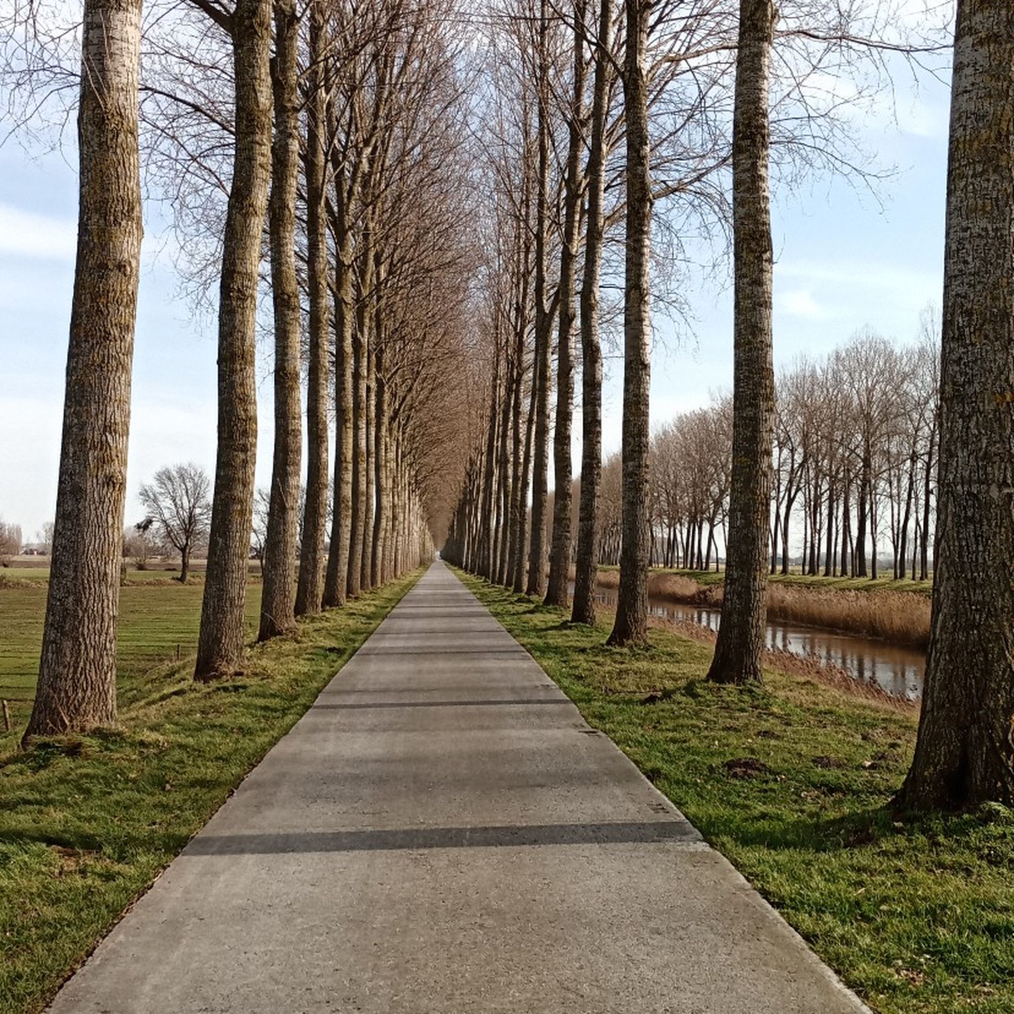
Cycling around Eeklo
Running Trails around Eeklo
Gravel biking around Eeklo
Other adventures around Eeklo


Tips from the Community

A collection of interconnected lakes, which seem to be very popular with anglers...
0
0

This creek connects to the Boerekreek to the west and to the Oudemanskreek to the east. It contains brackish water. The creek lies directly north of the Leopold Canal. Due to silting, the creek could no longer drain, which caused problems for agriculture. Therefore, around 2000, the drainage to the Leopold Canal on the east side was improved, the creek was also dredged, and the banks were reinstated to the nature reserve. (Wikipedia)
7
0
The Blokkreek is approximately 3 km long and meanders through the flat landscape. Peat was dug here during the early Middle Ages. These pits were later eroded further and further during countless floods and storm surges. (RouteYou)
7
0
Vrouwkenshoekkreek is a creek in the Meetjesland creek area, north of the East Flemish town of Sint-Laureins. The creek is part of a larger creek system that also includes Blokkreek. Although it was a valuable creek, it was filled in the 1950s with sediment from the dredging of the nearby Leopold Canal. This resulted in the disappearance of the unique habitat, leaving only grassland where the creek once lay. In the 1990s, the site was purchased by Natuurpunt, and restoration work began in 2009, including the reestablishment of the connection with Blokkreek, located on Dutch territory (south of Sint Kruis), which had also undergone restoration. The restoration work was completed in 2012. In addition to its function as a nature reserve, the system can also be used for water storage. (Wikipedia)
7
0

Beautiful setting surrounded by nature, bordered by lovely creeks. Take a walk on the raised berm to admire the surrounding scenery!
0
0

Creek restoration A small section of the Vrouwkenshoekkreek remained filled in until recently. This plot is a historic small extension of the Vrouwkenshoekkreek, which was filled in with waste, soil and stones at the time. This section has now been cleared of the maple that dominated. The waste was dug out and the banks were profiled. Want to know more? Click through to https://www.natuurpunt.be/projecten/natuurherstel-in-meetjeslandse-kreken
8
0
Location to discover the fauna and flora in a sporty way. For those who want to do sports and nature education in a green environment, the provincial center De Boerekreek in Sint-Laureins is the ideal place. De Boerekreek is an ideal base for a walk, bike ride or day of fishing, surfing or kayaking... All together to the Meetjesland. More information at: https://oost-vlaanderen.be/ontspannen/recreatiedomeinen/de-boerekreek.html
7
0
Creek, located next to the elevated roadway to Sint-Jan-in-Eremo. Creek contains brackish water. A creek where the eel feels at home.
8
0
Frequently Asked Questions
What kind of 'lakes' can I expect to find around Eeklo?
The water bodies around Eeklo are primarily a system of creeks, which are often former peat pits or water features formed by historical floods in the Meetjesland region. These are not large, natural lakes in the traditional sense, but rather unique ecological systems that provide diverse habitats for wildlife and opportunities for outdoor activities.
Which are some of the most notable creeks or water bodies to visit near Eeklo?
Among the most popular are Boerekreek, the largest creek in the Meetjesland region, known for its nature reserve and bird species. Another significant spot is Bentillekreek, one of five creeks in Sint-Jan-in-Eremo, recognized for its sandy soils and bird watching opportunities. Vrouwkenshoekkreek is also highly regarded, having been restored and now serving as a habitat for various water birds.
Are there family-friendly activities or areas around the creeks near Eeklo?
Yes, many of the creeks are suitable for families. For instance, Bentillekreek has a native orchard and picnic benches with a board game, making it ideal for families. The Provincial Sports Center De Boerekreek also offers facilities that can be enjoyed by families.
What kind of wildlife and natural features can I observe around these water bodies?
The creeks are rich in biodiversity. At Boerekreek, you can spot mallards, white-fronted geese, buzzards, and kestrels. Bentillekreek is a great place for bird watching, with kingfishers often sighted. Vrouwkenshoekkreek attracts hundreds of water birds, including the Marsh Harrier, especially in autumn. The area's unique polder landscape and restored creek systems offer beautiful natural views.
Are there hiking or walking routes near the creeks around Eeklo?
Yes, the region offers various walking opportunities. For example, the Boerekreek features a 9.5-kilometer 'Mindful Walk' yoga path. You can find more options for easy hikes in the area by exploring the Easy Hikes around Eeklo guide, which includes routes like the 'Leopold Canal Foot Ferry – Oostpolder Creek loop from Sint-Jan-in-Eremo'.
Can I go wild swimming in the creeks near Eeklo?
While the creeks are natural water bodies, they are primarily managed for nature conservation and recreation like bird watching or walking. Direct wild swimming is generally not permitted or recommended in these specific creek systems due to their ecological sensitivity and lack of designated swimming infrastructure. For outdoor swimming, Eeklo is planning an open-air swimming zone at the 'Kop van de Vaart' near the marina, which would be a designated area for such activities.
What is the best time of year to visit the creeks around Eeklo?
The creeks offer different experiences throughout the year. Autumn is particularly good for bird watching, as hundreds of water birds, including the Marsh Harrier, visit areas like Vrouwkenshoekkreek. Winter can also be appealing for quiet walks, with some paths like the Mindful Walk at Boerekreek being popular even then. Spring and summer provide pleasant weather for exploring the natural beauty and enjoying the green landscapes.
Are dogs allowed on trails and in the creek areas?
Specific regulations for dogs can vary by nature reserve or managed area. Generally, dogs are often allowed on leash on public footpaths. It's always best to check local signage at the entrance to specific creek areas or nature reserves like those managed by Natuurpunt for their precise dog policies to ensure a pleasant visit for everyone.
Are there cycling routes that pass by these creeks?
Yes, the region is popular for cycling. You can find various road cycling routes around Eeklo that may pass by or near these water bodies. For detailed routes, refer to the Road Cycling Routes around Eeklo guide, which includes options like the 'Cycling route between the Meetjesland and the Netherlands'.
Where can I find parking or public transport options for visiting the creeks?
Parking availability varies by location. For instance, the Provincial Sports Center De Boerekreek offers parking, though it might not always be open. For other creeks, parking is typically available in nearby villages or designated spots. Public transport to these more rural nature areas might be limited, so checking local bus schedules to the closest towns (e.g., Sint-Jan-in-Eremo, Sint-Laureins) and planning for a walk or bike ride from there is advisable.
What is the historical significance of these creeks?
Many of the creeks, such as Bentillekreek and Mesurekreek, are old peat pits created by peat extraction in the Middle Ages. They were further eroded by numerous floods and storm surges over centuries, shaping the unique landscape seen today. Some, like Vrouwkenshoekkreek, have undergone significant restoration efforts to return them to their natural state after being impacted by human activities like dredging.
Are there any facilities or cafes near the creeks?
While the creeks are primarily natural areas, some facilities exist. The Provincial Sports Center De Boerekreek offers amenities. For cafes or restaurants, you would typically find them in the nearby villages such as Sint-Jan-in-Eremo or Sint-Laureins, which are usually a short distance from the creek areas.
Most popular routes around Eeklo
Most popular attractions around Eeklo

Get inspired with the komoot mobile app


Didn’t find what you were looking for?
Find the best lakes around Eeklo per region:
Explore more
Still not found your perfect lake around Eeklo? Check out the guides of these regions to see even more beautiful places.
