The 7 Most Amazing Peaks around Balsorano
Best mountain peaks around Balsorano are found in Italy's Abruzzo region, within the Valle Roveto. This area borders Lazio and features mountains that are part of the Monti Marsicani and Monti Ernici ranges. The region's peaks often lie adjacent to the Abruzzo, Lazio and Molise National Park. These natural features provide opportunities to explore the local biodiversity and varied landscapes.
Best mountain peaks around Balsorano
- The most popular mountain peaks is Mount Passeggio, a summit that is the highest…
Last updated: August 23, 2026
Mount Passeggio
Highlight • Summit
Translated by Google •
Tip by

Punta Mazza
Highlight • Summit
Translated by Google •
Tip by

Sign up now to discover places like this
Get recommendations on the best single tracks, peaks, & plenty of other exciting outdoor places.
Sign up for free
Mount Scalelle
Highlight • Summit
Translated by Google •
Tip by
Sant'Elia Pass
Highlight • Mountain Pass
Translated by Google •
Tip by

Monte Serrone Summit Cross
Highlight • Summit
Translated by Google •
Tip by
Sign up for free to discover even more peaks around Balsorano.
Sign up for free
Already have an account?
Start today with a free account
Your next adventure awaits.
Login or Signup
Tips from the Community

Peak of 1974m. To date, access is only permitted along the SE ridge (from Montagnone 1819m) or from Balzo di Ciotto (without a marked path). The path that runs along the NE ridge (from the Schiena d'Asino pass) has been removed from the official PNALM ones, and is therefore currently prohibited (PNALM Regulations updated to August 2020 and PNALM Trail Network to May 2025, both available on the Park website). You may encounter park rangers on surveillance duty.
0
0
highest peak of the Ernici mountains, beautiful panorama over the main Abruzzo massifs and up to the Lazio islands
1
0

It is part of a splendid circular route on the ridge that connects Pizzo Deta to Forca Palomba, in the direction of Prato di Campoli.
0
0
It is the highest peak overlooking the plain of Prato di Campoli. The ridge path that connects it to Pizzo Deta offers splendid views of the Ernici Mountains. The wallpapers under the top in the period of June are colored with splendid Gentian blooms
1
0

At an altitude of 1860 m asl is the Sant'Elia pass. Once you reach the top, the effort is over, you can enjoy the view and then head downhill.
1
0

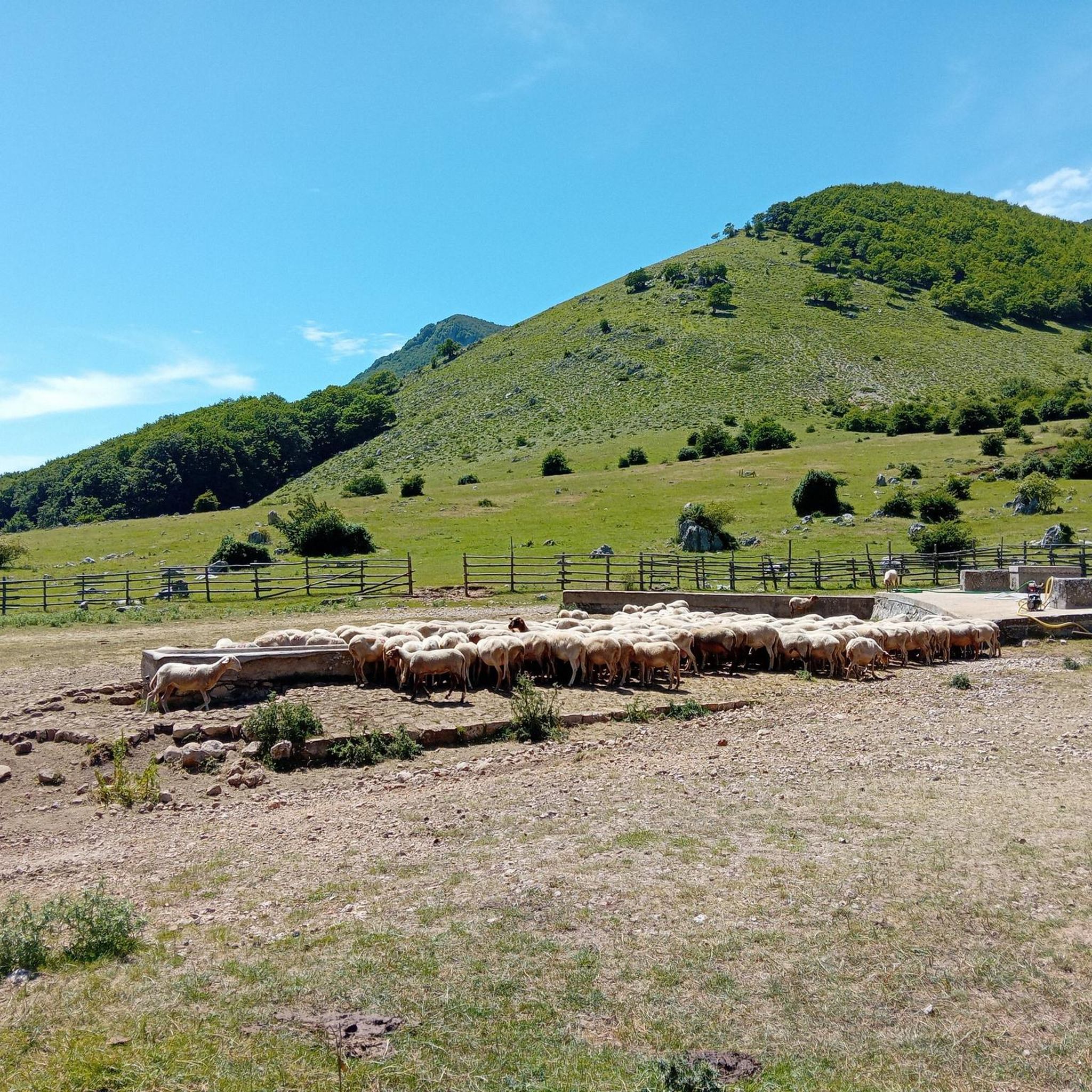
This peak (1776 m) is part of the Abruzzo group of the Marsicani Mountains and is located on the border of the Abruzzo, Lazio and Molise National Park. From here it is possible to see Sora, the Lepini Mountains and the Sacco Valley.
1
0
This relief has a height of 1921.8 meters. It is part of the Abruzzo group of the Marsicani Mountains. Since the Marsican brown bear is present in this area, it is possible that in some areas the tourist flow is regulated, so it is advisable to call the park to check the access procedures.
2
0

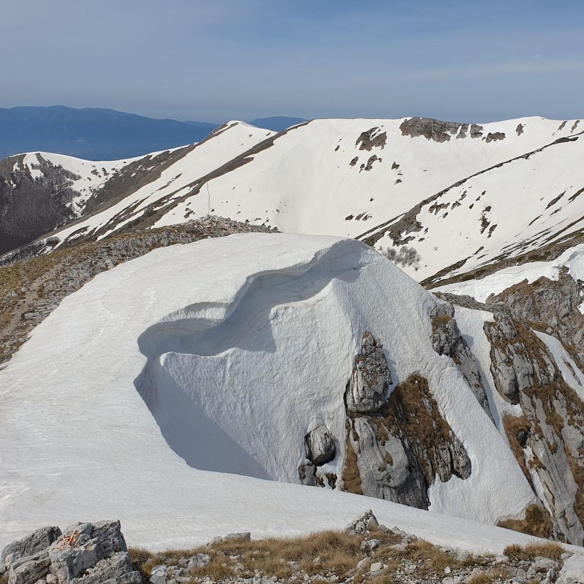
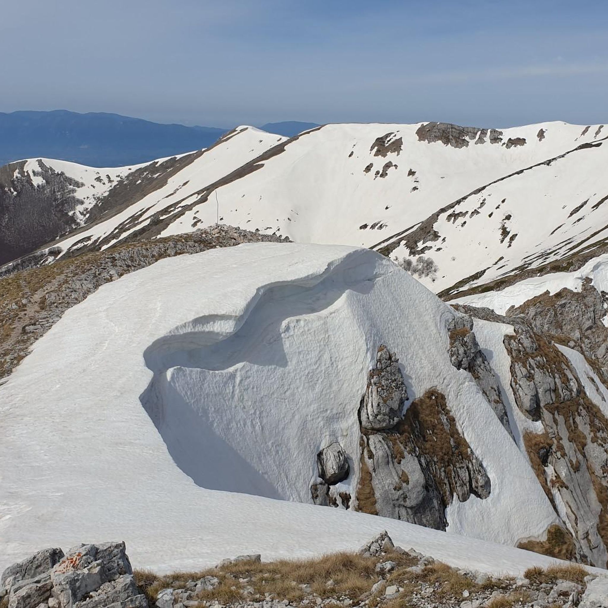
equipment required ice ax and crampons during this period
0
0
Frequently Asked Questions
What are the most scenic mountain peaks around Balsorano?
For stunning panoramas, consider Punta Mazza, which offers expansive views of Sora, the Lepini Mountains, and the Sacco Valley. Mount Passeggio also provides splendid views of the Ernici Mountains, especially from its ridge path connecting to Pizzo Deta. Additionally, Monte Breccioso, accessible from Valico Sant'Elia, is known for its extraordinary views of surrounding mountains like Pizzo Deta and the Fucino Plain.
Are there challenging hikes for experienced mountaineers near Balsorano?
Yes, several peaks offer challenging routes. Mount Passeggio is considered challenging, and the ascent to Monte Serrone Summit Cross is also challenging, potentially requiring ice ax and crampons in certain periods. The loop hike to Monte Breccioso from Valico Sant'Elia is suitable for experienced hikers, taking around 6 hours and 20 minutes with significant elevation gain.
What kind of wildlife can I expect to see in the mountains around Balsorano?
Being on the edge of or within the Abruzzo, Lazio and Molise National Park, these areas boast significant biodiversity. You might encounter the Marsican brown bear and wolves. Specifically, near Monte Serrone Summit Cross, the presence of the Marsican brown bear means tourist access might be regulated, so it's advisable to check with the park for access procedures.
What are some good starting points for mountain excursions in the region?
Sant'Elia Pass, located at an altitude of 1860 m, serves as an excellent starting point for various excursions, offering panoramic views and multiple options for rides or hikes. Rifugio Orsa Maggiore is another suggested starting point for a moderate loop hike to Punta Mazza.
Are there any circular hiking routes available around Balsorano's peaks?
Yes, there are several circular routes. Mount Scalelle is part of a splendid circular route on the ridge connecting Pizzo Deta to Forca Palomba. A moderate loop hike to Punta Mazza starts from Rifugio Orsa Maggiore. For a more challenging option, Punta Mazza can be combined with Monte Serrone in a ring route. The 13.9 km loop to Monte Breccioso from Valico Sant'Elia is also a popular circular option.
What are the best times of year to hike the mountain peaks near Balsorano?
The region offers diverse conditions throughout the year. In June, the wallpapers under the top of Mount Passeggio are colored with splendid Gentian blooms, making it a beautiful time to visit. For challenging peaks like Monte Serrone Summit Cross, be aware that ice ax and crampons may be required during certain periods, indicating winter or early spring conditions can be demanding.
What other outdoor activities can I do near the mountain peaks around Balsorano?
Beyond hiking, the area offers various cycling opportunities. You can explore road cycling routes, including difficult loops like Forca d'Acero Pass, or more moderate options. There are also general cycling routes, such as the San Vincenzo Valle Roveto and Balsorano loop tour. For more hiking, check out the hiking guide for Balsorano, which includes routes like the Mount Passeggio loop and the Laghetto di Fango loop.
Are there any historical or cultural points of interest in the mountain areas?
The Monti Ernici, which include some of these peaks, are rich in history, featuring ancient transhumance paths, medieval monasteries, and old border markers between historical states. Balsorano itself has historical significance, including the Piccolomini castle, dating back to the 10th century, offering a blend of natural beauty and historical context.
What are the general difficulty levels of the mountain trails in this region?
The mountain peaks around Balsorano offer a variety of trails ranging from intermediate to challenging. For example, Punta Mazza and Mount Scalelle are considered intermediate, while Mount Passeggio and Monte Serrone Summit Cross are challenging. It's always recommended to check specific route details for elevation gain and technical sections.
What do visitors appreciate most about the mountain peaks around Balsorano?
Visitors highly appreciate the stunning panoramas and diverse hiking opportunities. The region's proximity to nature and wildlife, including the Marsican brown bear, offers a sense of wildness and tranquility. The komoot community has shown appreciation for these peaks, with 21 upvotes and 10 photos shared, highlighting the area's natural beauty and rewarding experiences.
Is Monte Cornacchia accessible for hiking, and what are its features?
Monte Cornacchia, part of the Serra Lunga mountain range, is located on the border between Lazio and Abruzzo. It reaches approximately 2,003 to 2,010 meters above sea level. There is a hiking trail (T2) leading to its summit, offering another option for exploring the region's peaks.
Most popular attractions around Balsorano

Get inspired with the komoot mobile app


Explore more
See even more amazing summits around Balsorano with these guides:
