The 4 Most Amazing Peaks around Fasano
Whether for the view or for the challenge, climbing the mountainous peaks around Fasano is the best way to experience more of this beautiful region. But with 4
to choose from, it can be tough to know which peak to proceed with. That’s why we’ve collected the best peaks and summits around Fasano for you here — so you can easily add one to your next adventure.
Last updated: June 29, 2026
Monte San Nicola
Highlight • Summit
Translated by Google •
Tip by

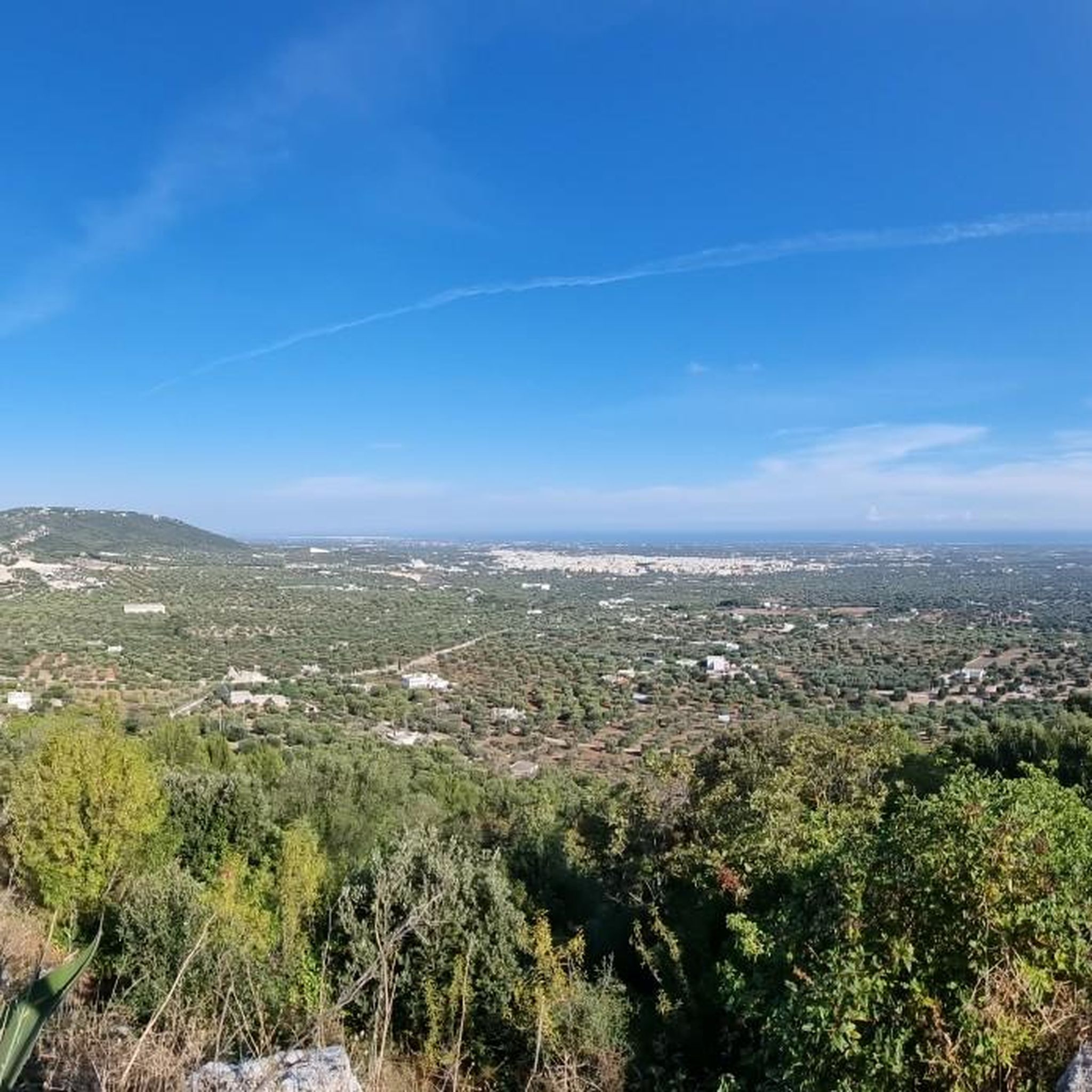
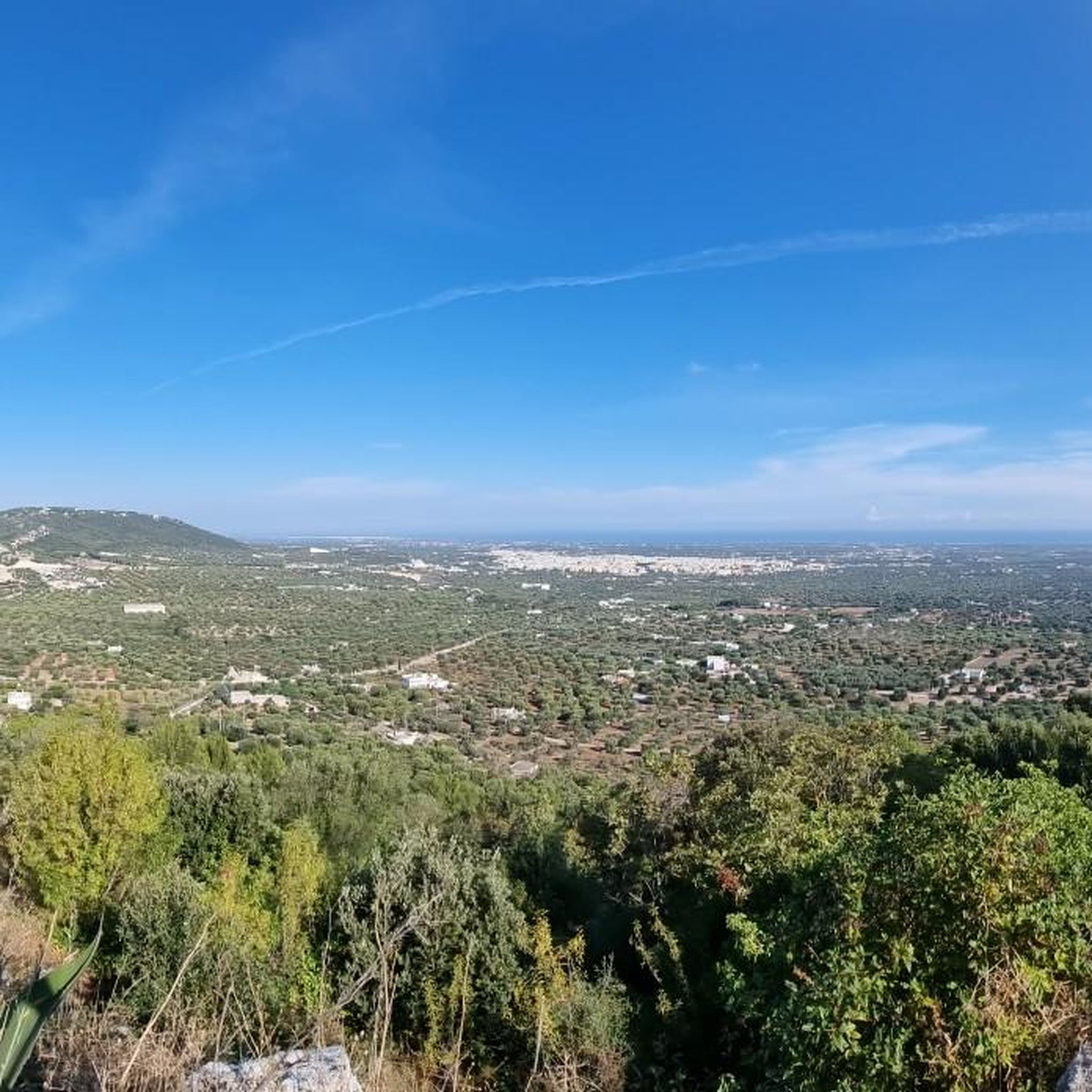
View of Pezze di Greco, Torre Canne, Fasano, and Savelletri from Monte Pizzuto
Highlight • Viewpoint
Translated by Google •
Tip by

Sign up now to discover places like this
Get recommendations on the best single tracks, peaks, & plenty of other exciting outdoor places.
Sign up for free
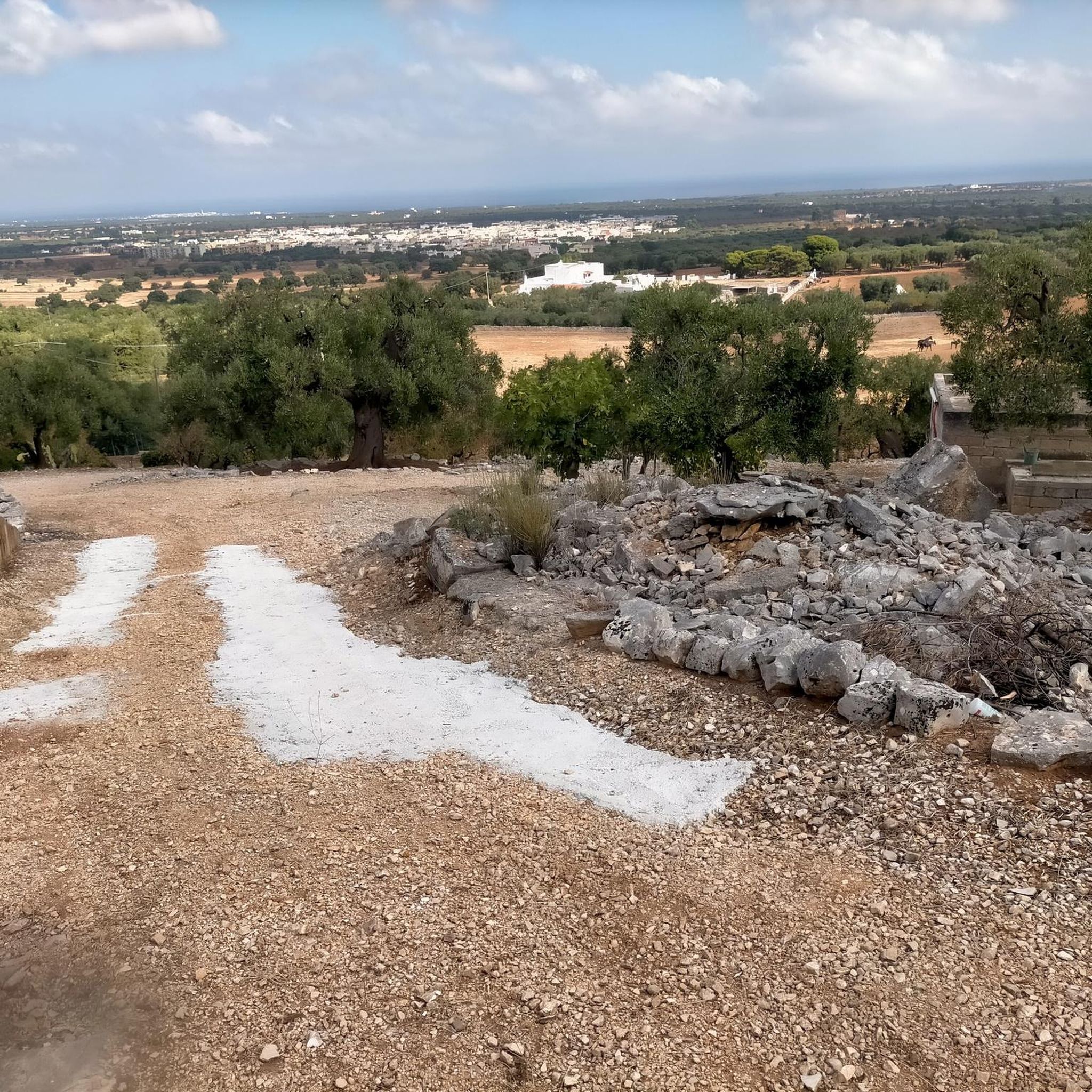
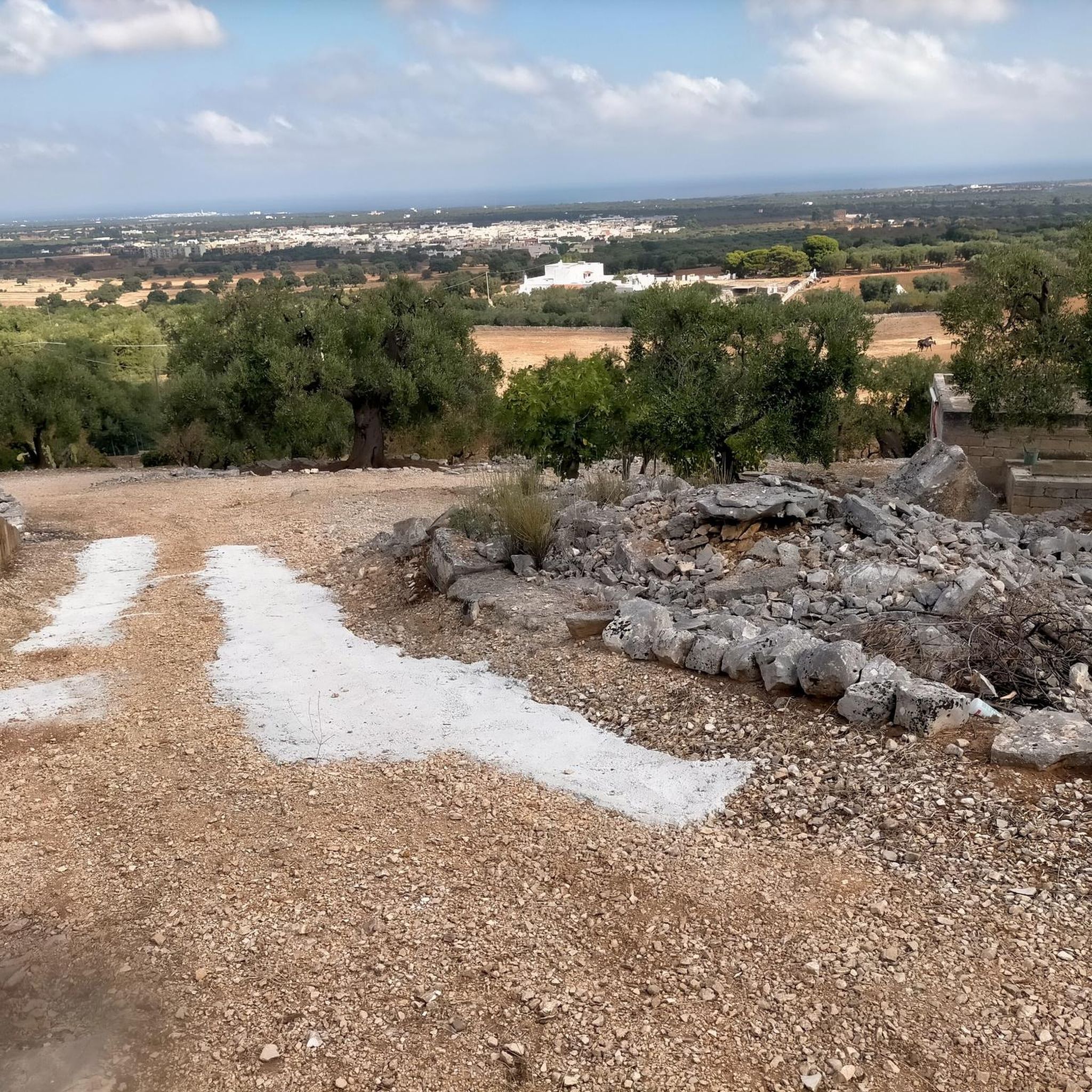
View of the Olive Plains and Sea from Monte Pizzuto
Highlight • Viewpoint
Translated by Google •
Tip by

Mount Pizzuto
Highlight • Summit
Translated by Google •
Tip by
View from Monte Gianecchia
Highlight • Viewpoint
Translated by Google •
Tip by
Start today with a free account
Your next adventure awaits.
Login or Signup



Tips from the Community

Viewpoint, starting point for paragliding launches, reachable via a steep ascent along a rather rough and stony path (at a couple of points I had to put my feet down and walk, but the effort is rewarded by a breathtaking view of the Fasano plain)
0
0

Hi Giuseppe, are you local? Can you recommend a 30/40km route on trails and single-track mtb. Thank you
0
0

Panoramic point at about 370 meters above sea level from where you can observe Pezze di Greco Torre Canne Fasano and Savelletri
1
0
Highest point of Monte Pizzuto where telecommunications antennas are located
5
0

This itinerary is for me the most beautiful that you can do in the Itria valley if you are a MTB lover. Completely tested and correct route to avoid interruptions, impracticable segments or covered by vegetation. It is based on some of my previous MTB excursions, all put together in one lap. For MTB Enduro lovers, I would like to point out that, having entered the Cisternino wood (the one that leads to the Le Fergole and Piantella Mountains), you can make a small detour at 17.7 km, turning right along the bend that leads up. After a few hundred meters you can take a very fun steep and rocky descent on the right again that ends with a single track that will take you back to the entrance of the forest (if you prefer you can consult the one called "Contrada Chiancarella - among my tracks - Monte Pizzuto - Bosco di Cisternino) I suggest protections and full-face helmet VARIATION RECOMMENDED ONLY FOR EXPERT RIDERS.
1
0
The toponym Gianecchia originates from an ancient medieval farmhouse whose name in 1189 documents was Gianecla. The inhabited area could have coincided with the current Masseria Giannecchia below.
0
0
Monte Gianecchia, in the territory of Cisternino, is a hill that rises on the offshoots of the Murge, at about 380 meters above sea level, sloping down with a considerable jump in altitude on the coastal plain between the towns of Rosa Marina (Ostuni) and Torre Canne (Fasano ).
0
0
Monte Pizzuto from whose top you can see the plain of centuries-old olive trees down to the sea
3
0
Most popular attractions around Fasano

Get inspired with the komoot mobile app


