The 8 Most Amazing Peaks around Spreitenbach
Best mountain peaks around Spreitenbach are found in the Limmat Valley, situated between the Heitersberg hills and the Limmat River. The region features a topography of rolling hills and valleys, with the highest point within the municipality reaching 672 meters near Heitersberg. These elevated areas offer scenic views and recreational opportunities. The area provides a variety of natural features for outdoor activities.
Best mountain peaks around Spreitenbach
- The most popular mountain peaks is Lägerngrat Ridge Trail, a trail that…
Last updated: June 28, 2026
Burghorn
Highlight • Viewpoint
Translated by Google •
Tip by

Highest point of Dottikon Dreihägen (549 m above sea level)
Highlight (Segment) • Summit
Translated by Google •
Tip by

Sign up now to discover places like this
Get recommendations on the best single tracks, peaks, & plenty of other exciting outdoor places.
Sign up for free
Gubrist Summit
Highlight • Summit
Translated by Google •
Tip by

Heitersberg Summit Stone (787 m)
Highlight • Summit
Showing Translation
Tip by

Sulperg 514 m a.s.l.
Highlight • Summit
Translated by Google •
Tip by

Sign up for free to discover even more peaks around Spreitenbach.
Sign up for free
Already have an account?
Start today with a free account
Your next adventure awaits.
Login or Signup

Tips from the Community

Forested ridge of the Heitersberg with the inconspicuous summit stone at 787 m above sea level. A quiet, nature-close spot away from grand views – perfect for a short pause and to enjoy the silent forest atmosphere.
10
0
At 859 meters, the Burghorn is the highest point on the Lägerngrat. From here, you can enjoy spectacular panoramic views: to the south over the Limmat Valley to the Alps 🏔️, and to the north into the Surb Valley and the Aargau Jura 🌳 – a perfect place for a break with a view!
10
0

There's nothing to see here. What's special about the Gubrist is that you don't normally hike over it, but rather drive through the motorway tunnel that runs almost directly beneath the summit, one of the busiest routes in Switzerland.
1
0

Sulperg is a small mountain with a height of 514 m above sea level. The upper part of the mountain is wooded, has a barbecue area with seating, a chapel dedicated to the Virgin Mary and a cross.
1
0

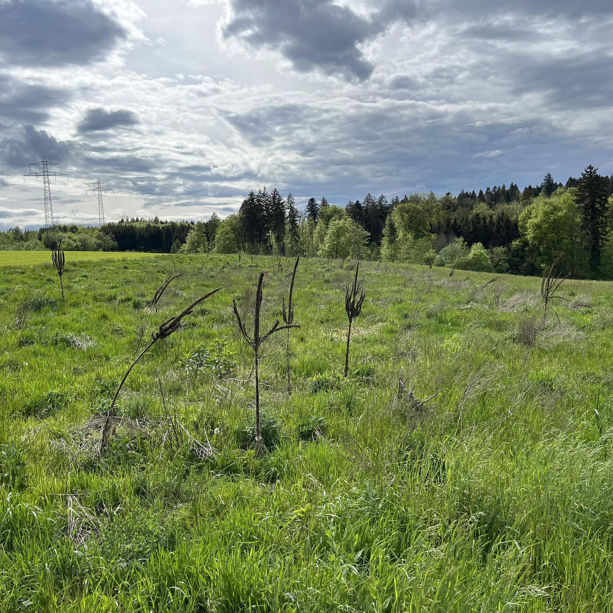
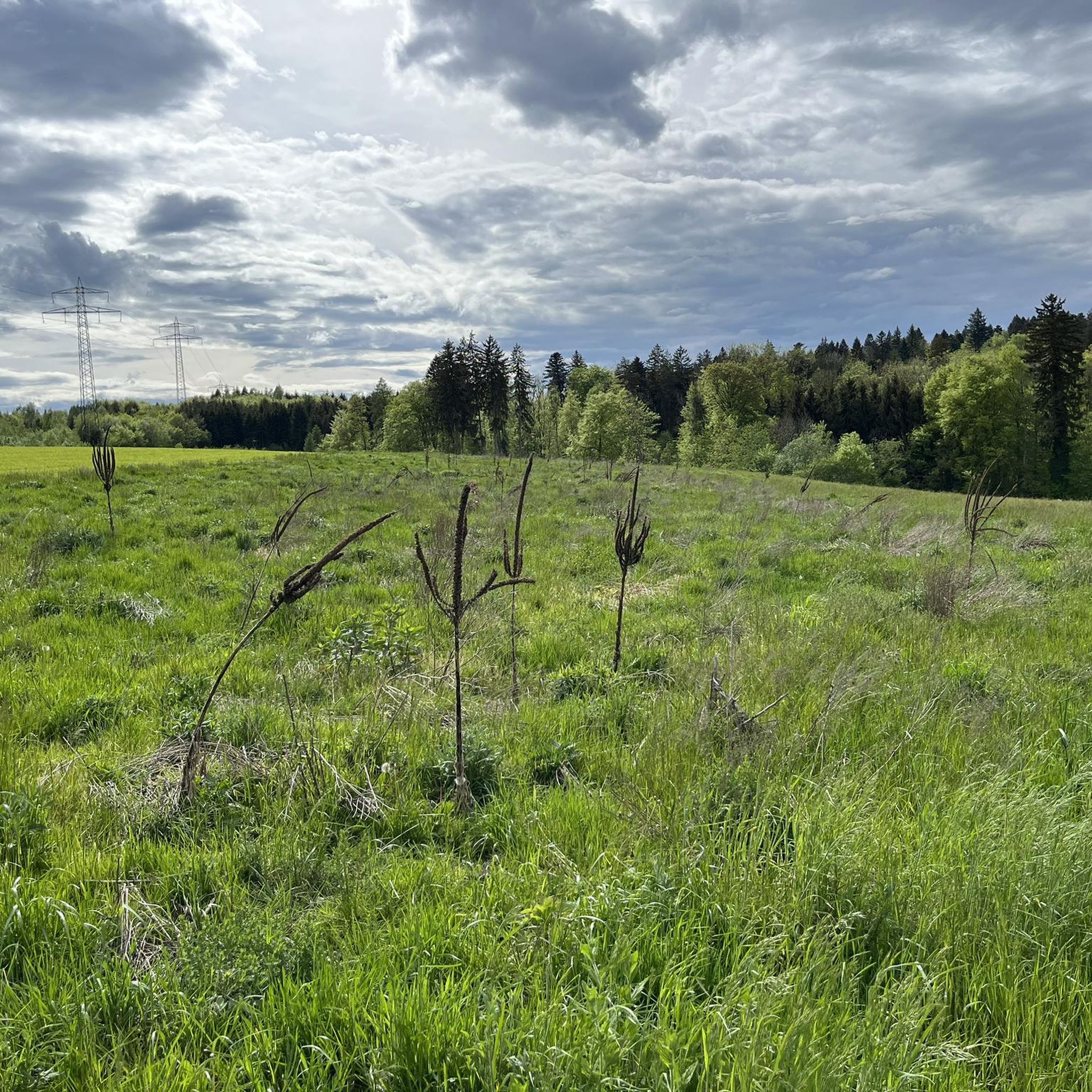
Dreihägen has, figuratively speaking, changed a lot, more transparent and brighter, many trees have been cut down
0
0

A super nice flowing single trail that really puts you in a good mood to drive.
2
0

Frequently Asked Questions
What kind of mountain peaks can I expect to find around Spreitenbach?
Spreitenbach is situated in the Limmat Valley, characterized by rolling hills and elevated areas rather than towering alpine peaks. The highest point within the municipality reaches 672 meters. You'll find viewpoints and summits that offer scenic vistas over the Mittelland and sometimes even distant Alps, providing a more gentle, yet rewarding, outdoor experience.
Which mountain peaks offer the best panoramic views near Spreitenbach?
For expansive panoramic views, consider visiting Burghorn, which is the highest point on the Lägerngrat at 859 meters. From here, you can see the Appenzeller, Glarus, Uri, and Bernese Alps. Another excellent option is the Altberg Observation Tower, standing at 630 meters on the Altberg. Its 30-meter height, accessible via 147 steps, provides breathtaking views towards Zurich and the Alps on clear days.
Are there any family-friendly mountain peaks or elevated spots to visit around Spreitenbach?
Yes, Burghorn is categorized as family-friendly, offering a rewarding experience with its expansive views. The Altberg Observation Tower is also a great option for families, providing an accessible way to enjoy panoramic scenery, though it does involve climbing 147 steps to the top.
Can I bring my dog to the mountain peaks or trails near Spreitenbach?
Yes, Burghorn, located on the Lägerngrat, is noted as dog-friendly. Many of the trails in the region, especially those through forested areas, are suitable for walks with dogs, provided they are kept on a leash where required and you follow local regulations.
What kind of hiking trails can I find near the mountain peaks of Spreitenbach?
The region offers a variety of hiking trails, from easy walks to more challenging routes. For instance, the trail near the Highest point of Dottikon Dreihägen (549 m above sea level) is known for its rooted, rough, and lush vegetation, suitable for both ascents and descents. The Lägerngrat Ridge Trail, which includes Burghorn, is classified as a T3 difficulty, requiring sure-footedness and a head for heights.
Are there any challenging mountain hikes around Spreitenbach?
While Spreitenbach itself is not alpine, the nearby Lägerngrat Ridge Trail offers a challenging mountain hike. This rocky and sometimes exposed path, which includes the Burghorn summit, is classified as a T3 difficulty, requiring sure-footedness and a head for heights. It provides an engaging experience for those seeking more demanding terrain.
What outdoor activities can I do near the mountain peaks around Spreitenbach?
Beyond exploring the peaks, you can enjoy various outdoor activities. There are numerous hiking opportunities, including moderate routes like the 'Lake Egelsee (Bergdietikon) – Diving platform at Egelsee loop from Spreitenbach'. Cycling is also popular, with options ranging from easy touring bicycle routes like 'Ferry at Fahr Monastery – Limmat River loop from Spreitenbach' to more difficult road cycling routes. You can find more details on these activities in the Hiking around Spreitenbach, Road Cycling Routes around Spreitenbach, and Cycling around Spreitenbach guides.
Is there anywhere to get refreshments near the mountain peaks or viewpoints?
Yes, near the Altberg Observation Tower, you'll find the Waldschänke, a cozy pub where you can enjoy refreshments and hearty food, including fondue. It's open daily, except on Tuesdays, making it a convenient stop after enjoying the views.
What is special about the Heitersberg area near Spreitenbach?
The Heitersberg area is home to the Heitersberg Summit Stone (787 m), which offers a pleasant view. Hikers particularly enjoy the descent into the Reuss valley from this point, often via a flowing single trail that is highly regarded by visitors.
What do visitors enjoy most about the elevated areas around Spreitenbach?
Visitors frequently appreciate the diverse natural features, ranging from accessible observation towers to more challenging trails. The panoramic views from spots like Burghorn and the Altberg Observation Tower are highly praised. The region's mix of forested areas, rolling hills, and opportunities for both leisurely walks and more demanding hikes contribute to its appeal.
How accessible are the mountain peaks and viewpoints around Spreitenbach by public transport?
While specific public transport details for each peak vary, Spreitenbach itself is well-connected. Many trailheads and access points to the elevated areas are reachable via local bus services, which connect to larger train stations in the region. It's advisable to check local transport schedules for the most direct routes to your chosen starting point.
What is the best time of year to visit the mountain peaks and trails near Spreitenbach?
The best time to visit is generally from spring through autumn (April to October) when the weather is mild and trails are clear. During these months, you'll experience lush vegetation and comfortable hiking conditions. While winter hiking is possible on some trails, conditions can be icy or snowy, especially on higher or more exposed paths like the Lägerngrat, so appropriate gear and caution are necessary.
Most popular routes around Spreitenbach
Most popular attractions around Spreitenbach

Get inspired with the komoot mobile app


Explore more
See even more amazing summits around Spreitenbach with these guides:
