The 10 Most Amazing Peaks around Oberrohrdorf
Best mountain peaks around Oberrohrdorf are characterized by elevated features and scenic hiking opportunities rather than traditional alpine peaks. This region, located in the canton of Aargau, Switzerland, offers a tranquil natural setting with picturesque hills and ranges. The Heitersberg and Rüsler are prominent elevated areas, providing scenic trails and panoramic views over the surrounding landscape. The area is ideal for outdoor enthusiasts seeking natural landscapes and varied terrain for hiking and cycling.
Best mountain peaks around Oberrohrdorf
- The most popular mountain peaks is Lägerngrat Ridge Trail, a trail that is a rocky ridge path requiring surefootedness and a head for heights. This trail is considered T3, offering an interesting and varied experience with beautiful views over the Swiss plateau.
- Another must-see spot is Burghorn, a viewpoint and summit. At 859 meters, it is one of the highest points on the Lägerngrat, providing panoramic views over the Limmat Valley to the Alps and into the Surb Valley.
- Visitors also love Highest point of Dottikon Dreihägen (549 m above sea level), a summit and trail. This spot features a rooted, rough, and lush trail that can be navigated both uphill and downhill, offering good technical sections.
- Oberrohrdorf is known for elevated viewpoints, forested summits, and scenic trails. The region offers a variety of elevated features to see and explore, suitable for different hiking preferences.
- The mountain peaks around Oberrohrdorf are appreciated by the komoot community, with more than 130 photos and over 380 upvotes from visitors.
Last updated: June 28, 2026
Burghorn
Highlight • Viewpoint
Translated by Google •
Tip by

Chestenberg Trail
Highlight • Trail
Translated by Google •
Tip by

Sign up now to discover places like this
Get recommendations on the best single tracks, peaks, & plenty of other exciting outdoor places.
Sign up for free
Highest point of Dottikon Dreihägen (549 m above sea level)
Highlight (Segment) • Summit
Translated by Google •
Tip by

Gubrist Summit
Highlight • Summit
Translated by Google •
Tip by

Heitersberg Summit Stone (787 m)
Highlight • Summit
Showing Translation
Tip by

Sign up for free to discover even more peaks around Oberrohrdorf.
Sign up for free
Already have an account?
Start today with a free account
Your next adventure awaits.
Login or Signup

Tips from the Community

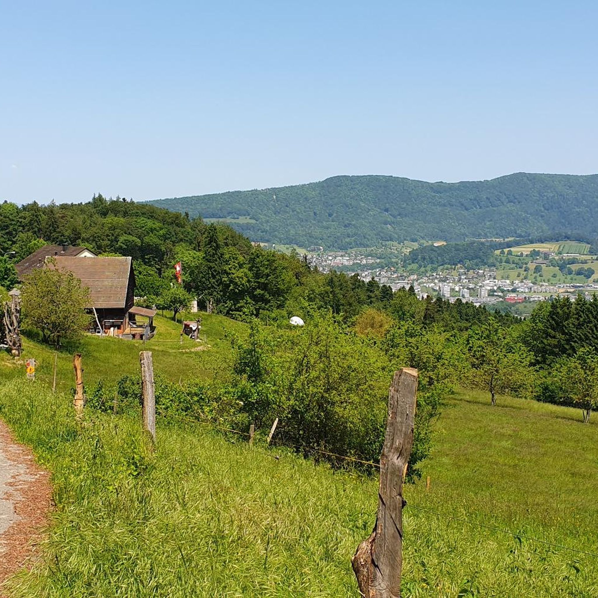
Forested ridge of the Heitersberg with the inconspicuous summit stone at 787 m above sea level. A quiet, nature-close spot away from grand views – perfect for a short pause and to enjoy the silent forest atmosphere.
10
0
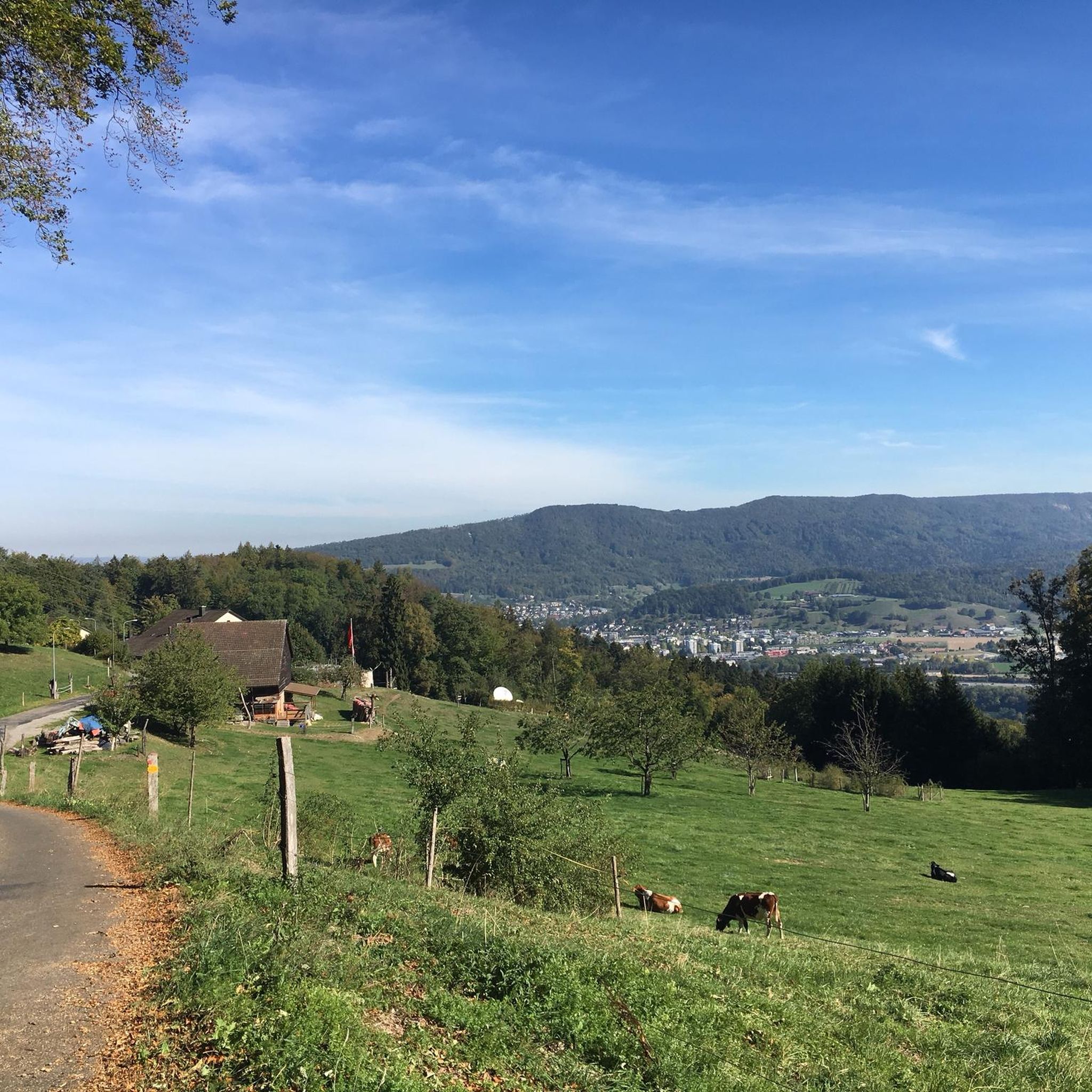
At 859 meters, the Burghorn is the highest point on the Lägerngrat. From here, you can enjoy spectacular panoramic views: to the south over the Limmat Valley to the Alps 🏔️, and to the north into the Surb Valley and the Aargau Jura 🌳 – a perfect place for a break with a view!
10
0

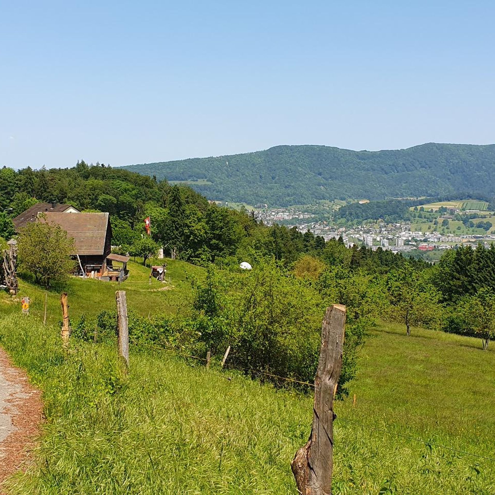
There's nothing to see here. What's special about the Gubrist is that you don't normally hike over it, but rather drive through the motorway tunnel that runs almost directly beneath the summit, one of the busiest routes in Switzerland.
1
0

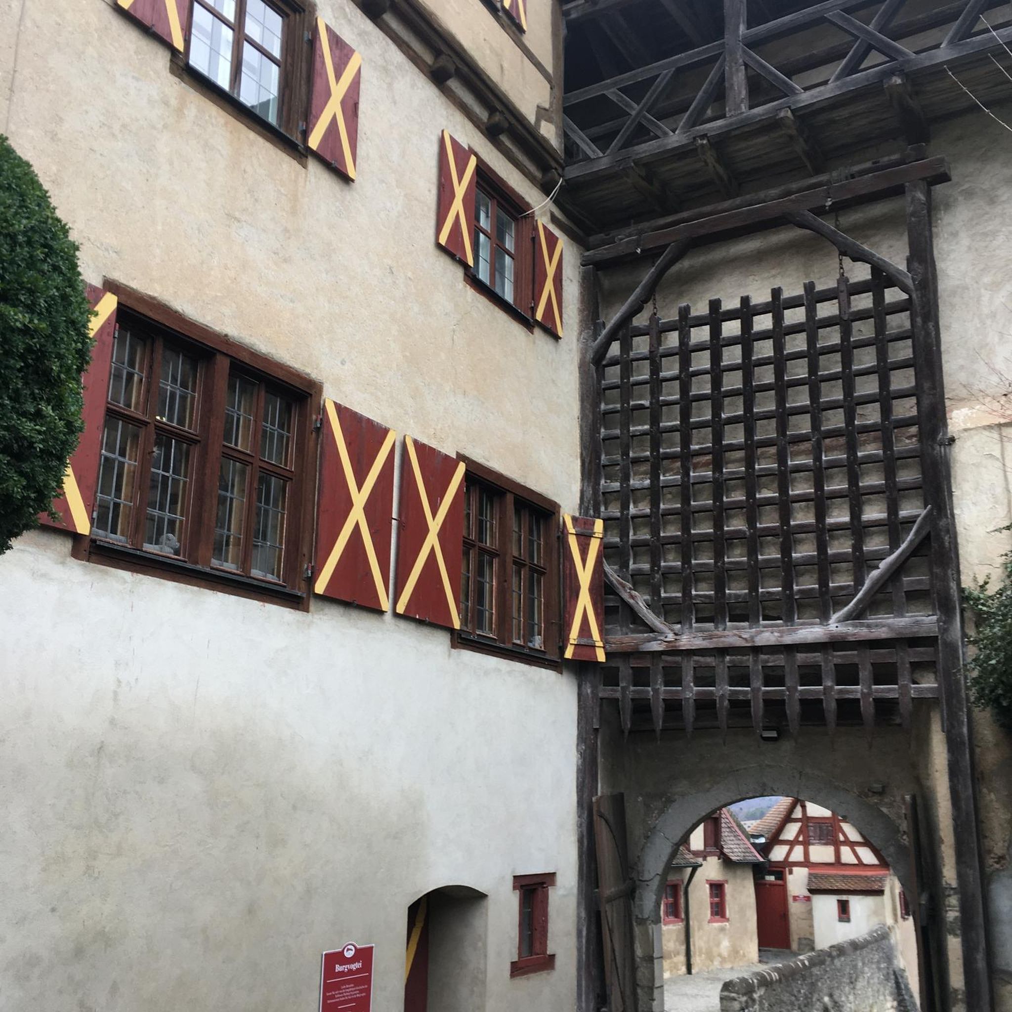
Dreihägen has, figuratively speaking, changed a lot, more transparent and brighter, many trees have been cut down
0
0

I used to ride the trail from Wildegg. This time from Brunegg.... I have the impression that Wildegg is the better option.
1
0

A super nice flowing single trail that really puts you in a good mood to drive.
2
0

Frequently Asked Questions
What are the most prominent elevated features around Oberrohrdorf?
The most prominent elevated feature is the Heitersberg, a significant hill reaching 702 meters (2,303 feet), known for its rewarding hiking trails and panoramic views. Other notable elevated points include Burghorn, one of the highest points on the Lägerngrat at 859 meters, offering extensive views over the Limmat Valley and into the Surb Valley, and the Altberg Observation Tower, which provides breathtaking views from its 30-meter high deck atop the 630-meter Altberg.
What kind of hiking trails can I find around Oberrohrdorf's elevated areas?
The region offers a variety of hiking experiences. The Heitersberg features a panoramic trail traversing gentle hills with expansive views. You can also find trails along the River Reuss, through picturesque forests, and to the idyllic Linner Linde. For more challenging options, the Chestenberg Trail offers demanding sections with beautiful viewpoints and a small Stone Age settlement. The area around Highest point of Dottikon Dreihägen (549 m above sea level) also features rooted, rough, and lush trails.
Are there family-friendly elevated areas or trails near Oberrohrdorf?
Yes, many of the elevated areas and trails around Oberrohrdorf are suitable for families. The Heitersberg offers tranquil natural settings ideal for escaping everyday life, and its trails are generally accessible. The Burghorn is listed as family-friendly, providing a great spot for a break with a view. Trails along the River Reuss also offer peaceful walking experiences suitable for families.
When is the best time of year to explore the elevated areas around Oberrohrdorf?
The elevated areas around Oberrohrdorf, including the Heitersberg, are enjoyable throughout much of the year. Spring and autumn offer pleasant temperatures and beautiful scenery, with autumn foliage being particularly striking. Summer is also popular for hiking, though it can be warmer. Even in winter, many trails remain accessible, offering a different, serene experience, though some sections might be more challenging due to conditions.
What outdoor activities can I do near these elevated features?
Beyond hiking, the region around Oberrohrdorf offers various outdoor activities. You can find numerous cycling routes, including easy to moderate options like the 'Oberrohrdorf Church – Bike Bridge loop' or the 'Hasenberg Tower – Egelsee loop'. For gravel biking, routes like the 'Egelsee – Hasenberg Tower loop' are available. Mountain biking enthusiasts can explore trails such as the 'Teufelskeller Trail – Ziegelhau Trail' or the 'Rüsler Singletrail'. You can find more details on these activities in the cycling guide, gravel biking guide, and MTB trails guide for Oberrohrdorf.
What do visitors enjoy most about the elevated areas around Oberrohrdorf?
Visitors particularly appreciate the panoramic views, especially from spots like Burghorn and the Altberg Observation Tower. The tranquil natural setting, ideal for escaping everyday life, is also highly valued. Hikers enjoy the varied terrain, from gentle hills to more challenging, rooted trails, and the opportunity for peaceful walks through forests and along rivers. The community has shared over 200 photos and given more than 270 upvotes, highlighting the scenic beauty and rewarding experiences.
Are there any specific viewpoints or summits that offer exceptional panoramic views?
Absolutely. The Altberg Observation Tower is a top choice, providing a breathtaking view of the warehouses, Zurich, and the Alps on clear days. Burghorn, the highest point on the Lägerngrat, also offers spectacular panoramic views over the Limmat Valley to the Alps and into the Surb Valley. The Heitersberg itself is renowned for its expansive views across the Freiamt region.
How accessible are the elevated areas around Oberrohrdorf by public transport?
While specific public transport routes to every trailhead aren't detailed, Oberrohrdorf is a municipality in the canton of Aargau, Switzerland, which generally has good public transport infrastructure. It's advisable to check local bus schedules to reach starting points for trails on the Heitersberg or other elevated areas. For example, the Heitersbergpass is accessible from Oberrohrdorf, suggesting public transport options might be available to get close to its base.
What are some unique natural features to look out for in the region?
Beyond the elevated viewpoints, the region boasts several natural highlights. The Heitersberg itself is a significant natural feature, offering a serene environment. The idyllic Linner Linde is a legendary tree with beautiful trails in its vicinity. Additionally, paths along the River Reuss lead through picturesque forests, providing a peaceful natural experience. While not a peak, the Highest point of Dottikon Dreihägen (549 m above sea level) is noted for its rooted and lush vegetation, offering a distinct natural trail experience.
Are there any challenging trails for experienced hikers or mountain bikers?
Yes, for those seeking a challenge, the Chestenberg Trail is described as demanding, especially its descent with roots and small ledges. It's suitable for experienced hikers and mountain bikers. The trails around Highest point of Dottikon Dreihägen (549 m above sea level) are also noted for their rough, rooted terrain, offering good technical sections for skill improvement. For mountain biking, routes like the 'Glatt Riverside Path – Glatt River Cycle Path loop' are rated as difficult.
Can I find refreshments or accommodation near the elevated areas?
Yes, near the Altberg Observation Tower, you'll find the Waldschänke, a cozy pub offering refreshments and hearty food, open daily except Tuesdays. While specific details for every elevated area are not provided, Oberrohrdorf and nearby towns offer various cafes, pubs, restaurants, and accommodation options for visitors exploring the region's trails and peaks.
What is special about the Gubrist Summit?
The Gubrist Summit is unique because, while it's a summit, there isn't much to see directly on top. Its special characteristic lies in the fact that one of Switzerland's busiest motorway tunnels runs almost directly beneath it. This makes it more of a landmark for infrastructure than a traditional scenic peak for hiking, though it's still an elevated point in the region.
Most popular routes around Oberrohrdorf
Most popular attractions around Oberrohrdorf

Get inspired with the komoot mobile app


Explore more
See even more amazing summits around Oberrohrdorf with these guides:
