The 10 Most Amazing Peaks around Neuenhof
Mountain peaks around Neuenhof, Switzerland, are characterized by rolling hills and extensive forested areas rather than towering summits. Situated in the Limmat Valley, the municipality's average elevation ranges from 403 to 412 meters, with its highest point reaching approximately 708 meters. These elevated areas provide opportunities for walks and hikes, offering scenic views of the Limmat Valley and the surrounding region. The landscape offers diverse terrain for outdoor activities.
Best mountain peaks around Neuenhof
- The most popular mountain peaks is…
Last updated: October 14, 2026
Burghorn
Highlight • Viewpoint
Translated by Google •
Tip by

Chestenberg Trail
Highlight • Trail
Translated by Google •
Tip by

Sign up now to discover places like this
Get recommendations on the best single tracks, peaks, & plenty of other exciting outdoor places.
Highest point of Dottikon Dreihägen (549 m above sea level)
Highlight (Segment) • Summit
Translated by Google •
Tip by

Gubrist Summit
Highlight • Summit
Translated by Google •
Tip by

Heitersberg Summit Stone (787 m)
Highlight • Summit
Showing Translation
Tip by

Sign up for free to discover even more peaks around Neuenhof.
Already have an account?
Start today with a free account
Your next adventure awaits.

Other adventures around Neuenhof

Tips from the Community

Forested ridge of the Heitersberg with the inconspicuous summit stone at 787 m above sea level. A quiet, nature-close spot away from grand views – perfect for a short pause and to enjoy the silent forest atmosphere.
10
0
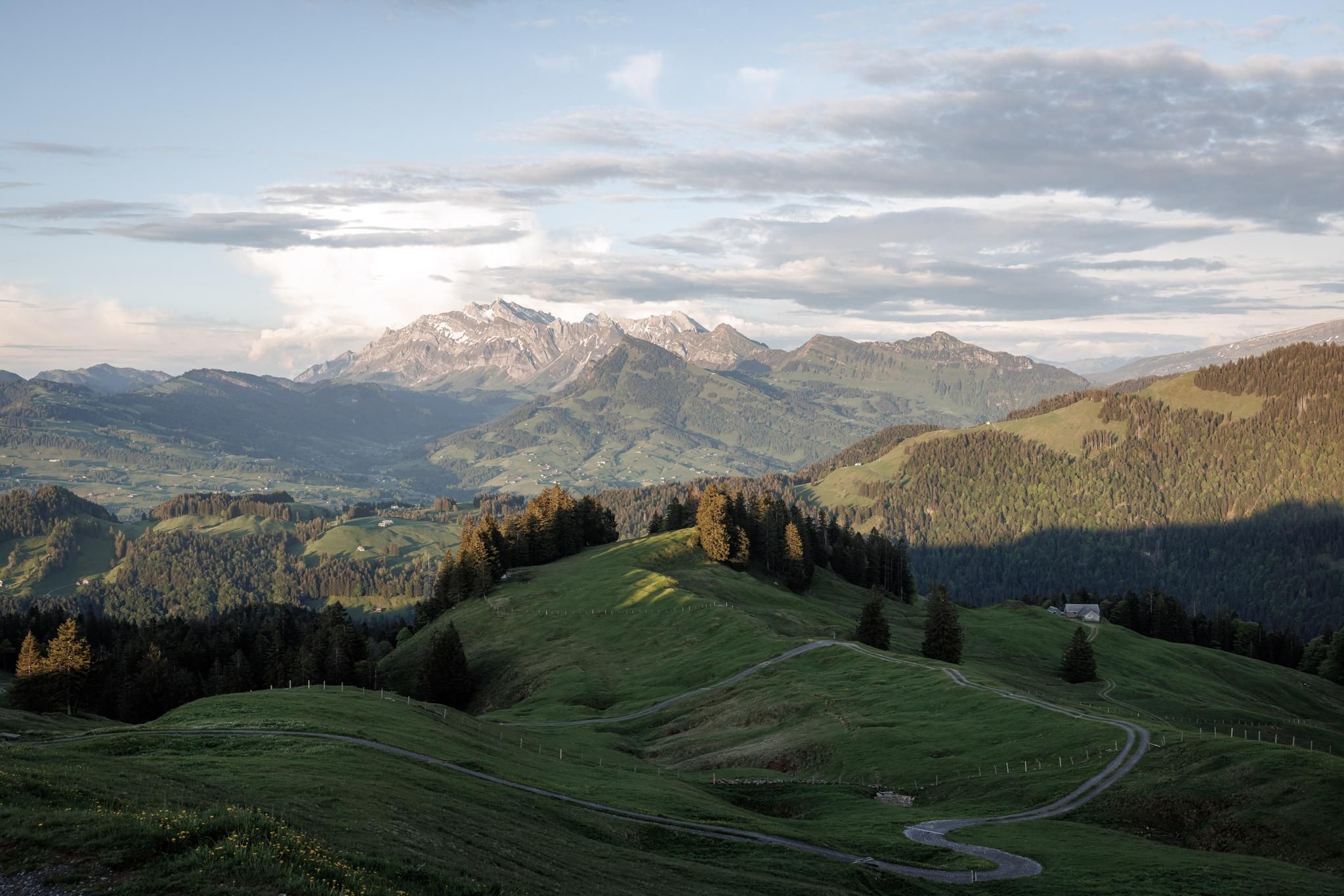
At 859 meters, the Burghorn is the highest point on the Lägerngrat. From here, you can enjoy spectacular panoramic views: to the south over the Limmat Valley to the Alps 🏔️, and to the north into the Surb Valley and the Aargau Jura 🌳 – a perfect place for a break with a view!
10
0

There's nothing to see here. What's special about the Gubrist is that you don't normally hike over it, but rather drive through the motorway tunnel that runs almost directly beneath the summit, one of the busiest routes in Switzerland.
1
0

Dreihägen has, figuratively speaking, changed a lot, more transparent and brighter, many trees have been cut down
0
0


I used to ride the trail from Wildegg. This time from Brunegg.... I have the impression that Wildegg is the better option.
1
0

A super nice flowing single trail that really puts you in a good mood to drive.
2
0

Frequently Asked Questions
What are the most popular mountain peaks and elevated areas around Neuenhof?
The most popular elevated areas around Neuenhof include the Altberg Observation Tower, which offers panoramic views from its 630-meter perch, and Burghorn, the highest point on the Lägerngrat, providing extensive views of the Alps. Visitors also appreciate the Highest point of Dottikon Dreihägen (549 m above sea level) for its trails and technical sections.
Are there family-friendly mountain walks or viewpoints near Neuenhof?
Yes, several spots are suitable for families. Burghorn is categorized as family-friendly and offers a bench for breaks with a view. The general landscape around Neuenhof, characterized by hills and forested areas, provides pleasant opportunities for walks and hikes that can be enjoyed by families.
Which mountain peaks or elevated areas offer the best scenic viewpoints around Neuenhof?
For breathtaking scenic views, head to the Altberg Observation Tower, where you can see Zurich and the distant Alps on a clear day. Burghorn also provides spectacular panoramic views to the south, encompassing the Appenzeller, Glarus, Uri, and Bernese Alps, as well as the Surb Valley and Aargau Jura to the north.
Are there challenging hiking trails for advanced hikers near Neuenhof?
Yes, the Chestenberg Trail is considered challenging, featuring demanding sections, roots, and small ledges, especially in wet conditions. It also passes by beautiful viewpoints and a small Stone Age settlement, making it a rewarding experience for experienced hikers.
What kind of natural features can I expect to see on the mountain peaks around Neuenhof?
The elevated areas around Neuenhof are primarily characterized by extensive forests and hills. You'll find numerous forested paths, viewpoints offering vistas of the Limmat Valley, and natural monuments like Burghorn. Some trails, such as the one at the Highest point of Dottikon Dreihägen, feature rooted, rough terrain and lush vegetation.
Are there any mountain peaks or trails near Neuenhof that are dog-friendly?
Yes, Burghorn is explicitly categorized as dog-friendly, making it a great option for hiking with your canine companion. Many of the forested paths and hills in the region are generally suitable for walks with dogs, but always ensure they are on a leash where required.
What outdoor activities can I do near the mountain peaks around Neuenhof?
Beyond hiking, the region offers various outdoor activities. You can explore numerous running trails, such as those found in the Running Trails around Neuenhof guide. Cycling enthusiasts can find routes in the Cycling around Neuenhof guide, while mountain bikers have options like the MTB Trails around Neuenhof guide, which includes routes like the Hasenberg Tower loop.
Are there cafes or places to eat near the hiking trails around Neuenhof?
Yes, near the Altberg Observation Tower, you'll find the Waldschänke, a cozy pub offering refreshments and hearty food. It's a convenient spot to refuel after enjoying the views from the tower.
What is the highest point within Neuenhof's municipal boundaries?
The highest point within Neuenhof's municipal boundaries reaches approximately 708 meters (2,323 ft) above sea level. While not a towering peak, these elevated areas provide pleasant walks and scenic views of the Limmat Valley.
What should I know about the Gubrist Summit near Neuenhof?
The Gubrist Summit is unique in that there isn't much to see directly at the top. Its significance lies in the fact that one of Switzerland's busiest motorway tunnels runs almost directly beneath it, making it a point of interest more for its infrastructure than its scenic views.
How accessible are the mountain peaks and elevated areas around Neuenhof by public transport?
While specific public transport details for each peak vary, Neuenhof itself is well-connected within the canton of Aargau. Visitors can typically reach trailheads and starting points for hikes via local bus services or by combining train and bus travel, depending on the specific destination within the region.
What is the best time of year to hike the mountain peaks around Neuenhof?
The best time to hike the elevated areas around Neuenhof is generally during spring, summer, and autumn. These seasons offer pleasant weather conditions for exploring the forested paths and enjoying the panoramic views. While winter hiking is possible, some trails, like the Chestenberg Trail, can become particularly demanding due to wet conditions, roots, and potential ice.
Most popular routes around Neuenhof
Most popular attractions around Neuenhof

Get inspired with the komoot mobile app


Explore more
See even more amazing summits around Neuenhof with these guides:
