Top 4 Waterfalls around Unterlangenegg
Waterfalls around Unterlangenegg offer natural features and diverse landscapes for outdoor exploration. This region in Switzerland is characterized by its rolling hills, forests, and watercourses, providing a setting for various natural attractions. While specific large, named waterfalls are not directly within the municipality, the area features gorges and river sections with cascades. The terrain around Unterlangenegg waterfalls includes both accessible paths and more challenging routes through natural environments.
Best waterfalls around Unterlangenegg
- The most popular waterfalls is Confluence of the…
Last updated: June 28, 2026
Cholerenschlucht Gorge
Highlight • Gorge
Translated by Google •
Tip by

Zulgschwelle
Highlight • Waterfall
Translated by Google •
Tip by

Sign up now to discover places like this
Get recommendations on the best single tracks, peaks, & plenty of other exciting outdoor places.
Sign up for free
Confluence of the Zulg and Aare
Highlight • River
Translated by Google •
Tip by

Cholerenschlucht Waterfalls
Highlight (Segment) • Gorge
Translated by Google •
Tip by

Lower Eriz Valley: Linden to Burghalten Scenic Road
Highlight (Segment) • Cycleway
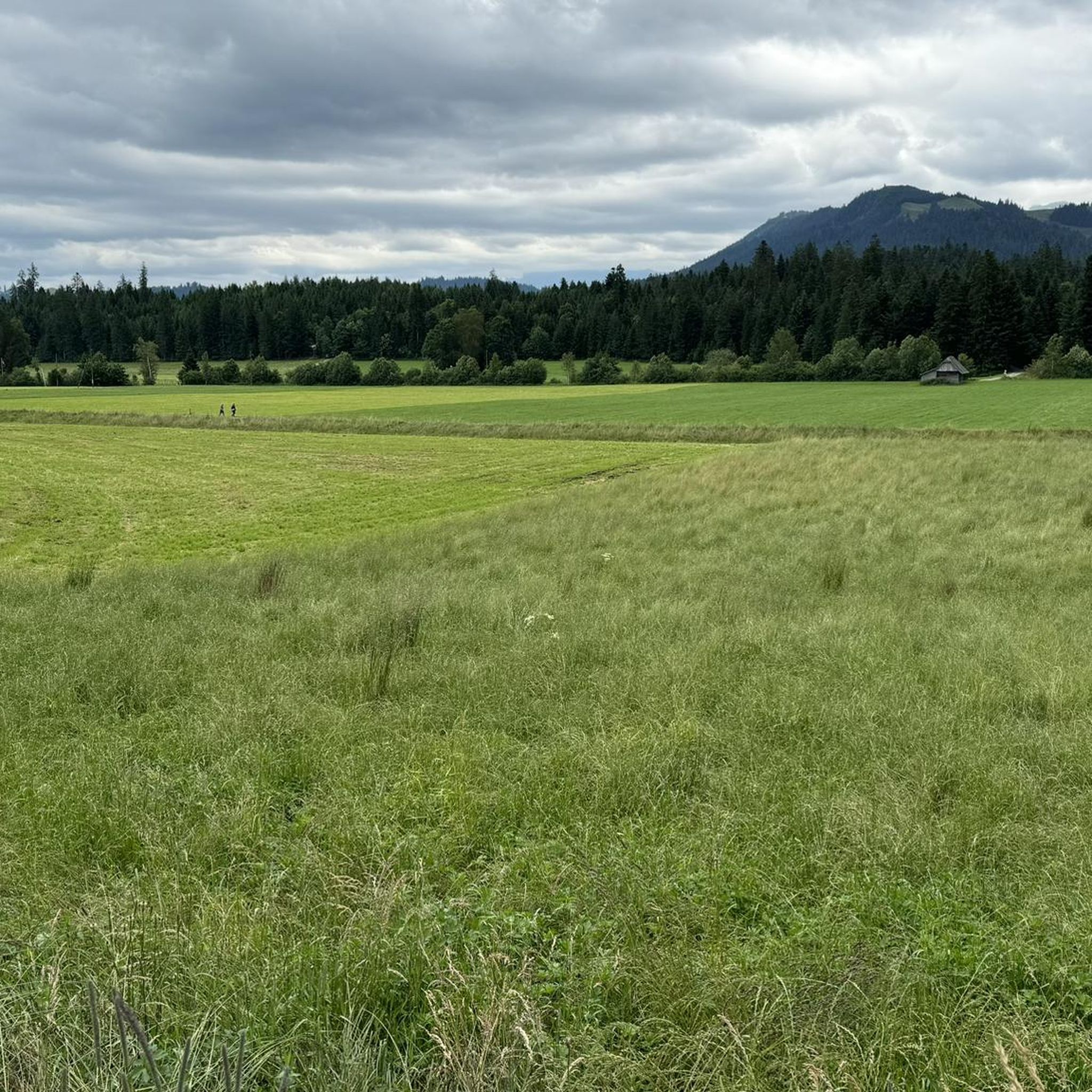
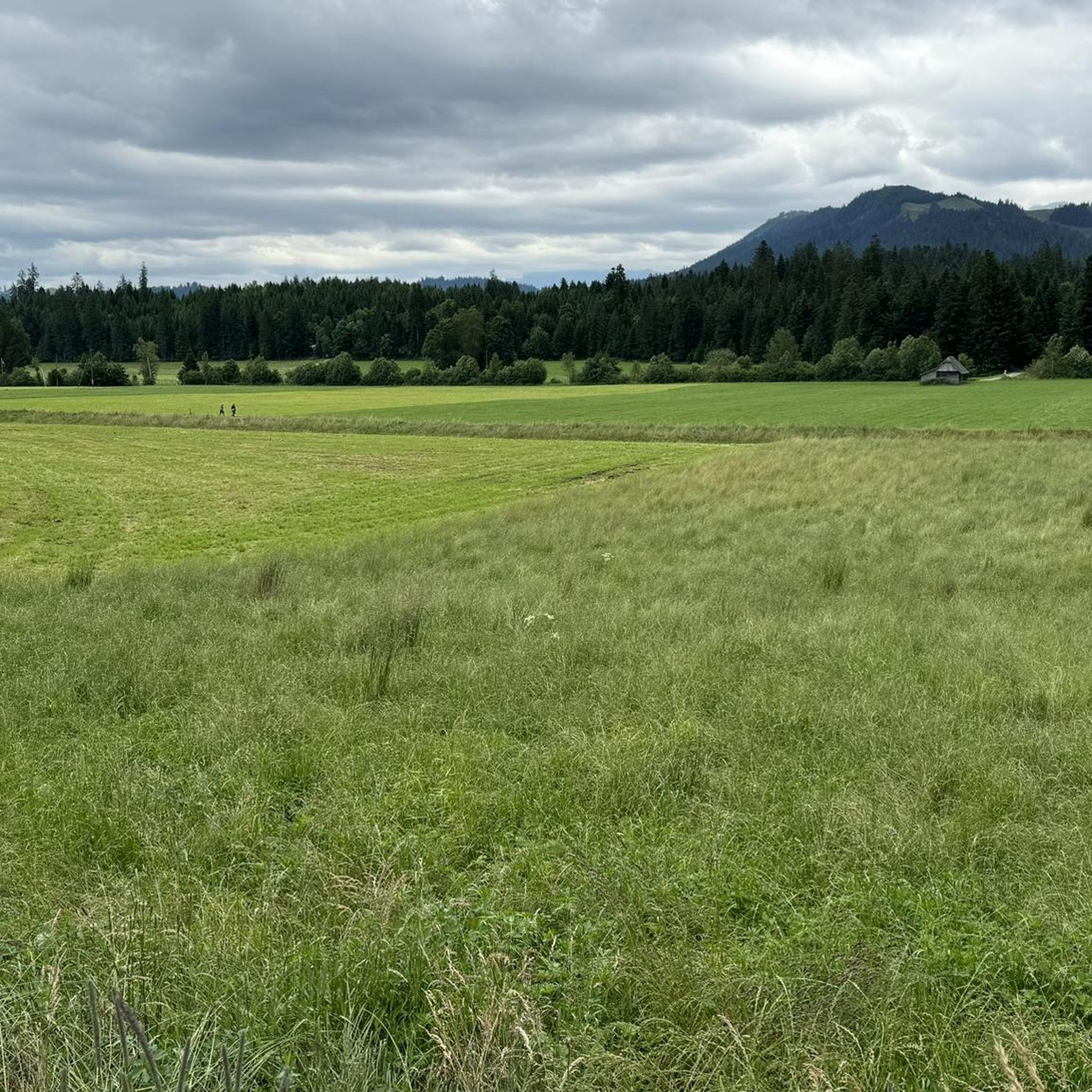
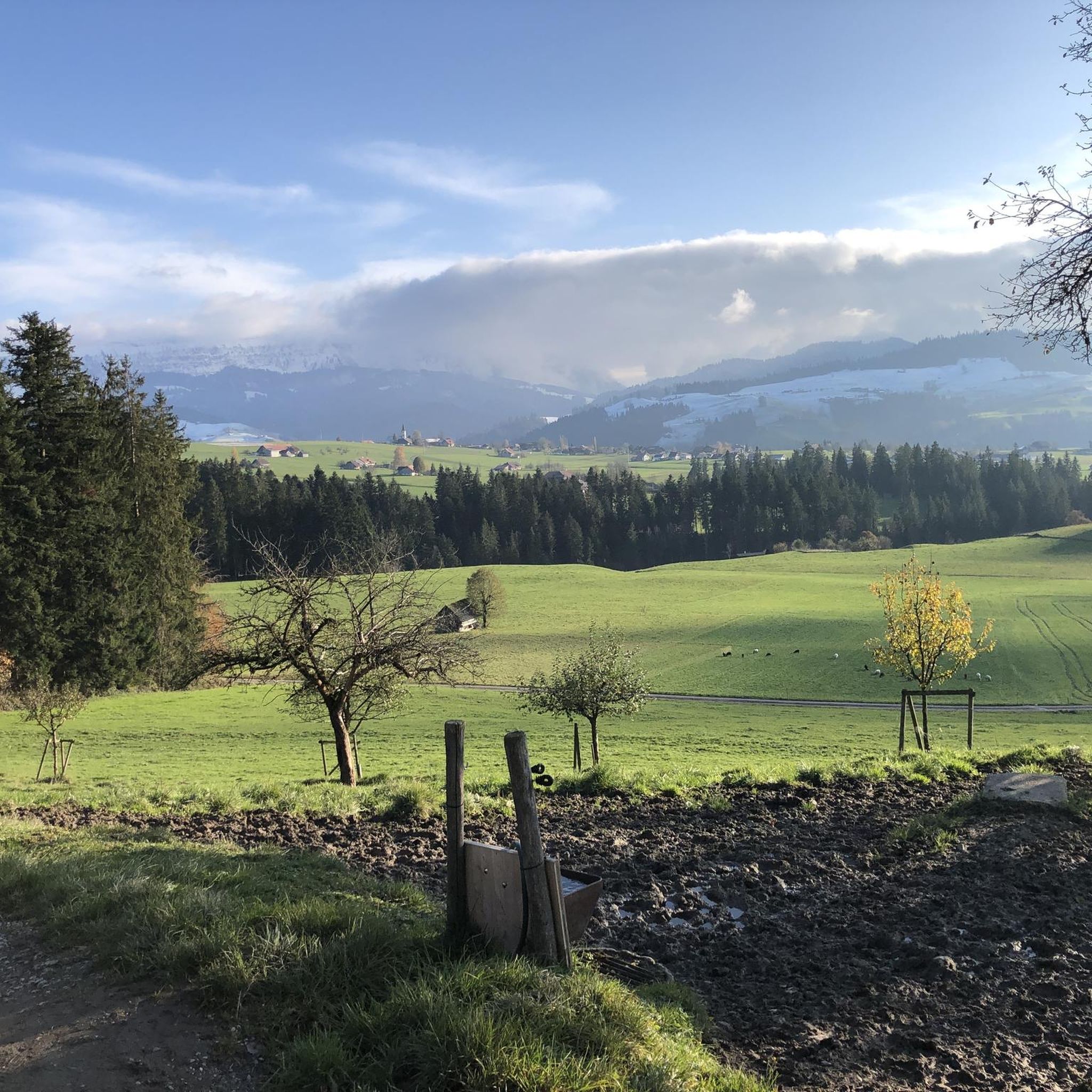
The road leads halfway along the Zulg and crosses a beautiful waterfall.
The route is very low traffic
Translated by Google •
Tip by

Sign up for free to discover even more waterfalls around Unterlangenegg.
Sign up for free
Already have an account?
Start today with a free account
Your next adventure awaits.
Login or Signup
Tips from the Community

The upper part is more demanding than the lower
0
0

That was really mega beautiful
0
0

At the Zulgspitz, the Zulg, which rises high up at the Grüenebergpass, flows into the Aare. It flows down over two sills, which creates an interesting picture.
2
0

Discover the Aare and the cycle paths between Thun and Bern by bike 😎
0
0

In summer, not only a popular photo spot, but thanks to a well-equipped barbecue area, a Mecca for open-air cooking
0
0

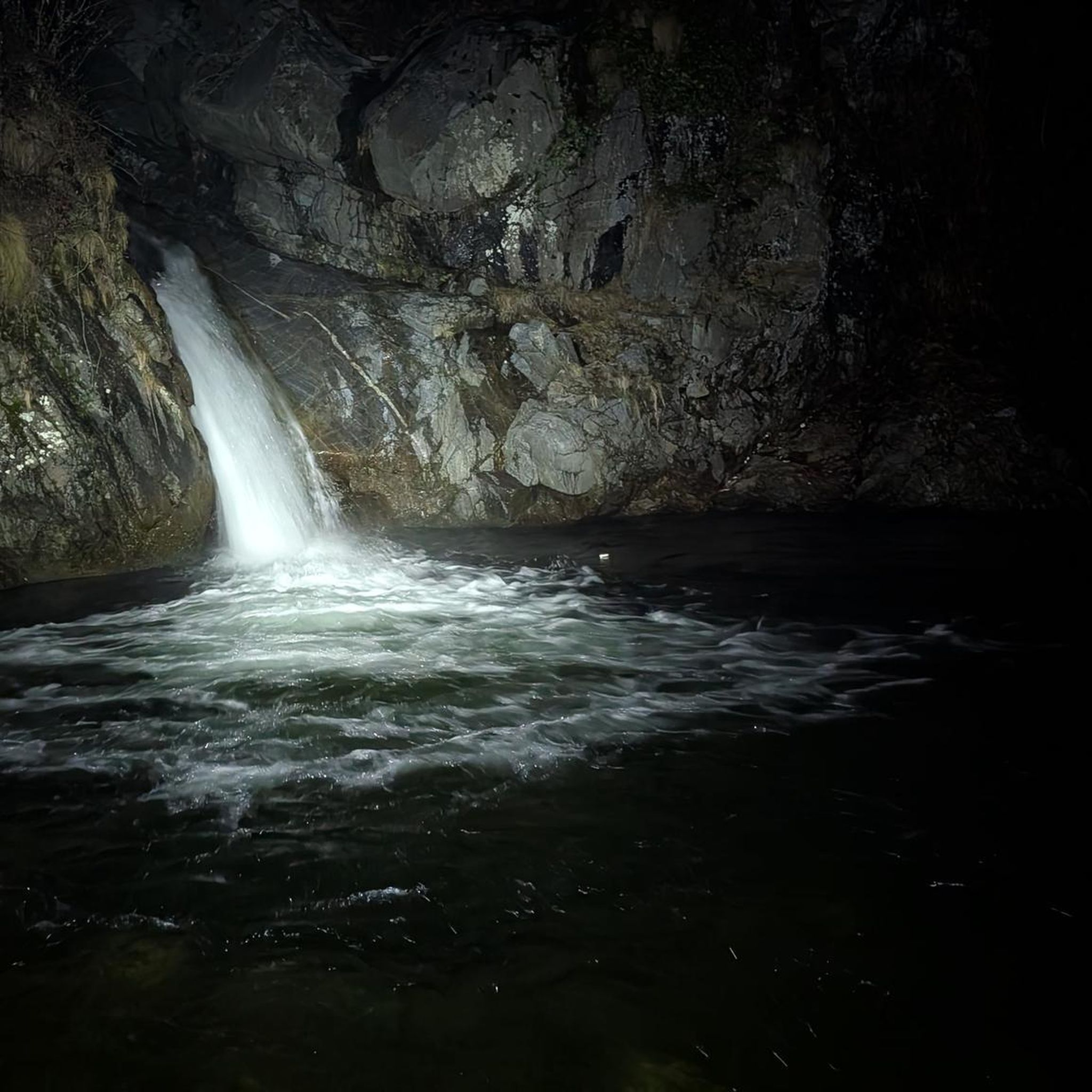
The Choleren Gorge, which was created by the erosion of the Cholerbach. With steep cliffs, thundering waterfalls and winding paths, it offers hikers and nature lovers a spectacular experience. Wooden bridges and stairs enable safe exploration of this fascinating natural setting. The name "Cholerenschlucht" is probably related to traditional charcoal burning. The Choleren Gorge used to be known for its charcoal kilns, where charcoal was produced. The name "Choleren Gorge" could thus refer to this historical activity. A second theory is that the term comes from the Latin word "colera" which means "bile" or "anger" and could refer to the wild waterfalls and the impressive nature of the gorge. A third theory holds that the name comes from the old Swiss German word "chole" meaning "little stream" or "little river".
0
0
Wonderfully beautiful, but sometimes quite steep gorge with a lot of potential for slipping. Good shoes recommended. Tip: If the ground is damp and wet, it is better to hike through the Choleren Gorge from bottom to top. When it's dry, it's easy to do on both sides. Some barbecue areas invite you to pause and linger. The countless waterfalls with their pools and the green of the gorge give the whole scenery a romantic touch.
0
0
Wonderfully beautiful, but sometimes quite steep gorge with a lot of potential for slipping. Good shoes recommended. Tip: If the ground is damp and wet, it is better to hike through the Choleren Gorge from bottom to top. When it's dry, it's easy to do on both sides. Some barbecue areas invite you to pause and linger.
0
0
Frequently Asked Questions
What are the most popular waterfall-related spots around Unterlangenegg?
Visitors frequently enjoy the Confluence of the Zulg and Aare, a natural monument known for its well-equipped barbecue area. Another favorite is Zulgschwelle, where the Zulg river flows over two sills, offering a great spot for swimming and barbecues. The Cholerenschlucht Gorge is also highly rated for its romantic scenery and numerous cascades.
Are there family-friendly waterfall locations in the area?
Yes, both the Confluence of the Zulg and Aare and Zulgschwelle are considered family-friendly. They offer amenities like barbecue areas, making them suitable for outings with children. Zulgschwelle is also a popular spot for swimming.
Can I go swimming near the waterfalls around Unterlangenegg?
Yes, Zulgschwelle is a nice place to swim. Additionally, the Rotache Gorge offers cool bathing spots along the stream, though it requires some cross-country exploration.
What kind of terrain can I expect on trails near these waterfalls?
The terrain varies. The Cholerenschlucht Gorge can be quite steep with potential for slipping, so good shoes are recommended. The Rotache Gorge involves cross-country sections that can be swampy. Other areas, like the cycle way along the Zulg river, offer more accessible paths.
Are there any historical or cultural points of interest related to the waterfalls?
The Cholerenschlucht Gorge has historical connections. Its name might be related to traditional charcoal burning, as the gorge was known for charcoal kilns. Another theory suggests it comes from the Latin word 'colera' (anger) or the old Swiss German 'chole' (little stream), reflecting the wild nature of the waterfalls.
What outdoor activities can I do near the waterfalls around Unterlangenegg?
Beyond visiting the waterfalls, you can enjoy various outdoor activities. There are mountain hikes, cycling routes, and road cycling routes in the broader region. For example, the Lower Eriz Valley: Linden to Burghalten Scenic Road is a cycle way that leads along the Zulg river and crosses a waterfall.
Are there specific hiking trails that feature waterfalls?
Yes, the Cholerenschlucht Gorge offers a hike through steep cliffs and thundering waterfalls, with wooden bridges and stairs for exploration. The Rotache Gorge also features a waterfall and bathing spots, though it involves more rugged terrain.
What is the best time to visit the waterfalls around Unterlangenegg?
The waterfalls are beautiful year-round. During warmer months, spots like Zulgschwelle are ideal for swimming and barbecues. In winter, the Zulg at its confluence with the Aare can be particularly scenic when frozen.
Are the waterfall areas accessible by public transport?
While specific public transport details to each waterfall are not provided, the region around Unterlangenegg is generally accessible. For detailed planning, it's recommended to check local transport schedules for routes to the nearest villages or trailheads.
What should I wear when visiting the gorges and waterfalls?
Good footwear is highly recommended, especially for areas like the Cholerenschlucht Gorge, which can be steep and slippery, and the Rotache Gorge, which can be swampy. Layered clothing is also advisable to adapt to changing weather conditions.
Are there places to eat or have a picnic near the waterfalls?
Yes, several spots are equipped for picnics and barbecues. The Confluence of the Zulg and Aare and Zulgschwelle both feature well-equipped barbecue areas. The Cholerenschlucht Gorge also has barbecue areas inviting visitors to pause and linger.
What natural features can I expect to see besides waterfalls?
Beyond the waterfalls, you'll encounter diverse natural features. The gorges, such as Cholerenschlucht Gorge and Rotache Gorge, feature steep cliffs, lush forests, and river sections. The region also offers scenic views along routes like the Lower Eriz Valley: Linden to Burghalten Scenic Road.
Most popular routes around Unterlangenegg
Most popular attractions around Unterlangenegg

Get inspired with the komoot mobile app


Explore more
Happy to travel a little further afield? Then browse these guides for the best waterfalls around Unterlangenegg:
